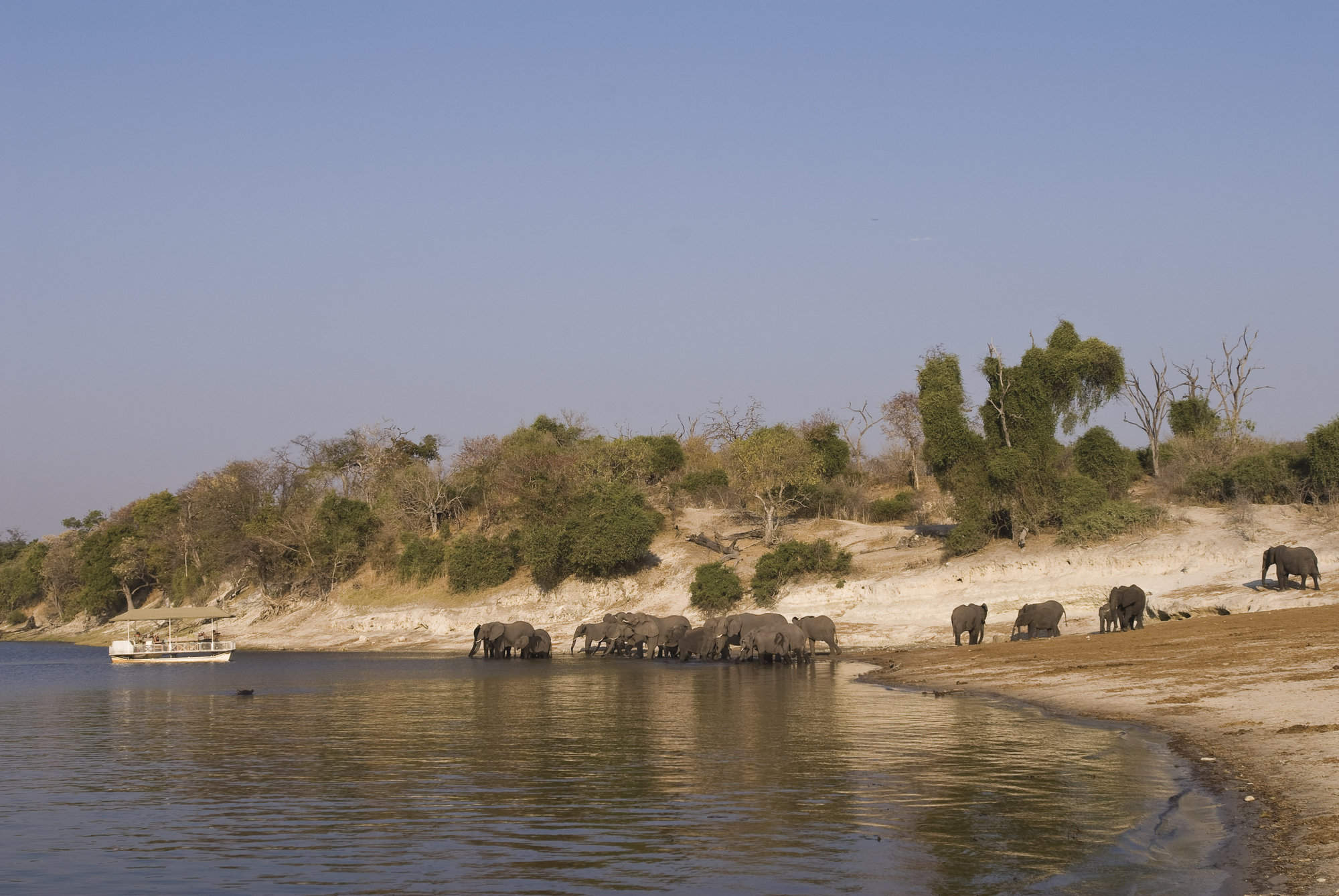
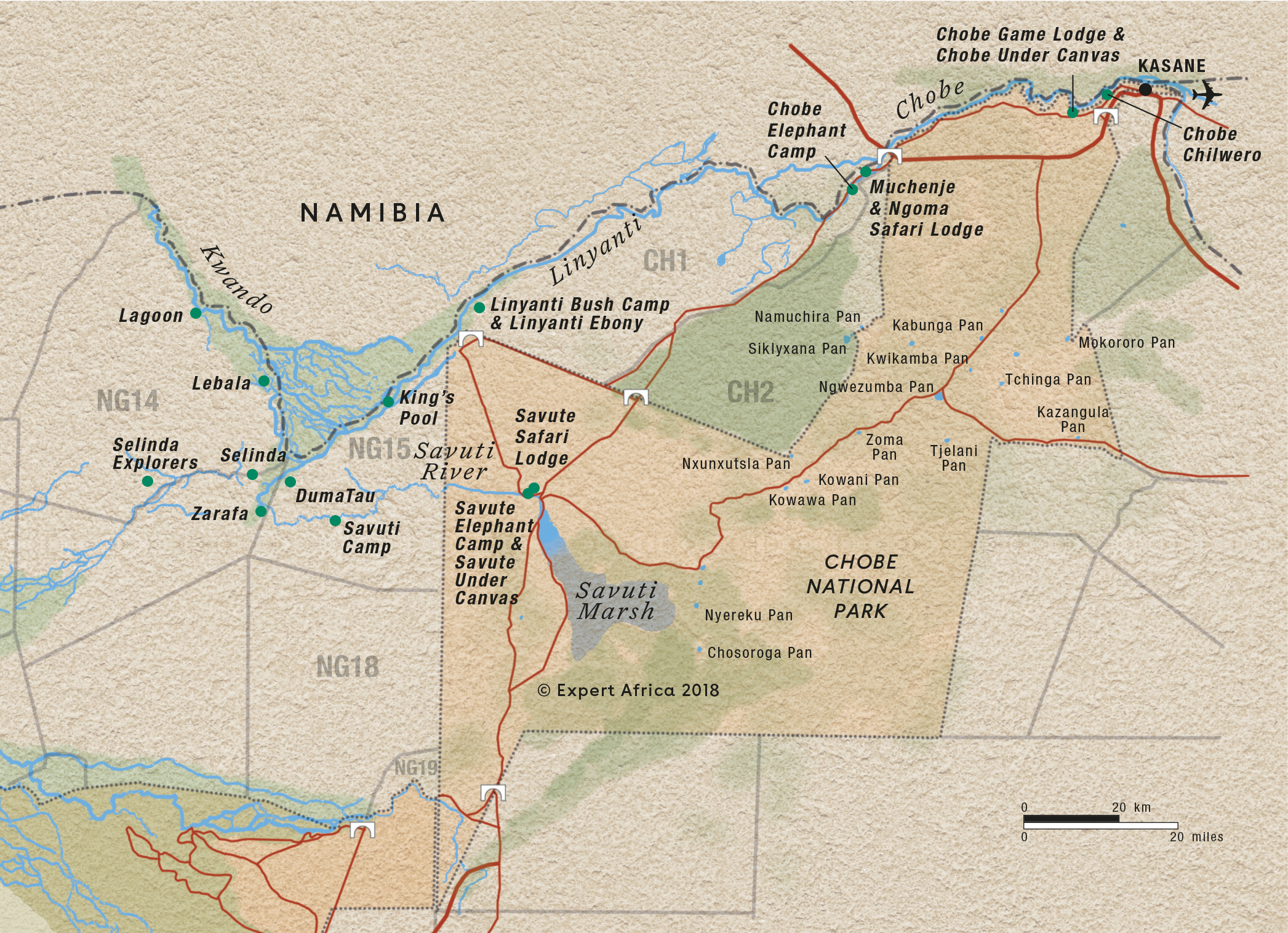
Map of Chobe National Park
Chobe National Park reference map
Google map of Chobe
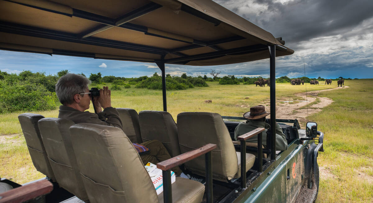
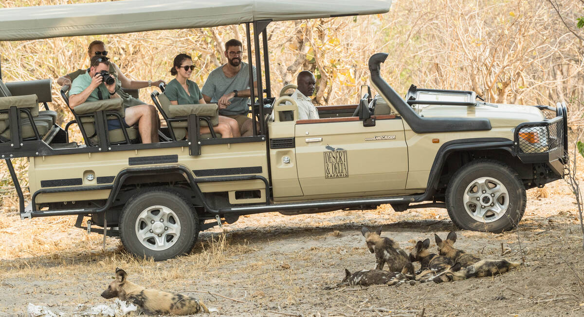
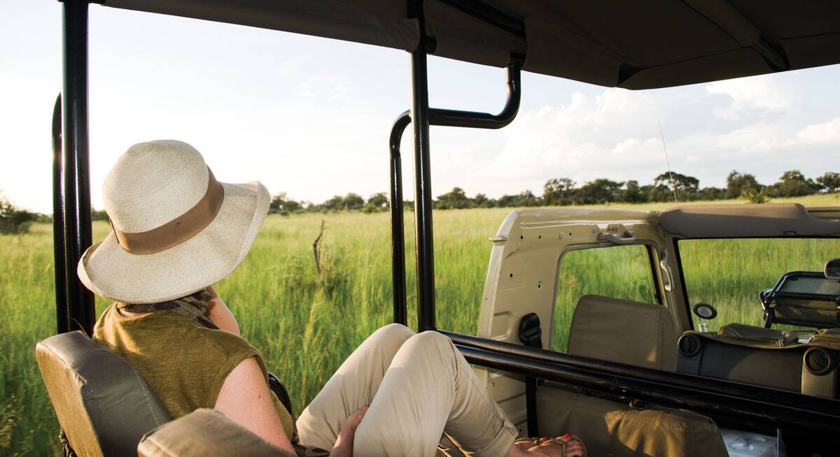
Safaris visiting Chobe
Just ideas, we'll always tailor-make a trip for you

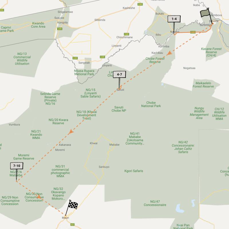
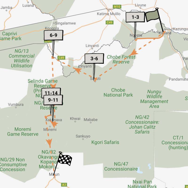
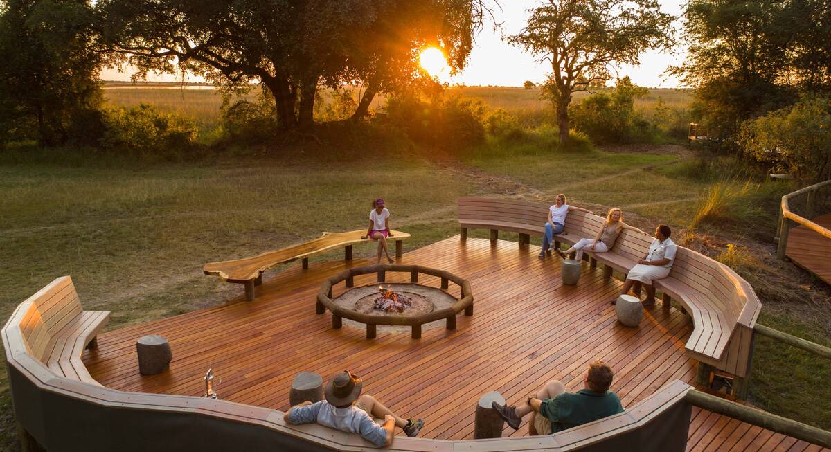
Spring Hare Safari
9 days • 3 locations • 1 country
KASANE AIRPORT TO MAUN AIRPORT
An authentic and diverse safari to Botswana combining the Chobe Forest Reserve, Savuti Marshes and the Okavango Delta. Strong wildlife viewing, a variety of activities and excellent value camps.
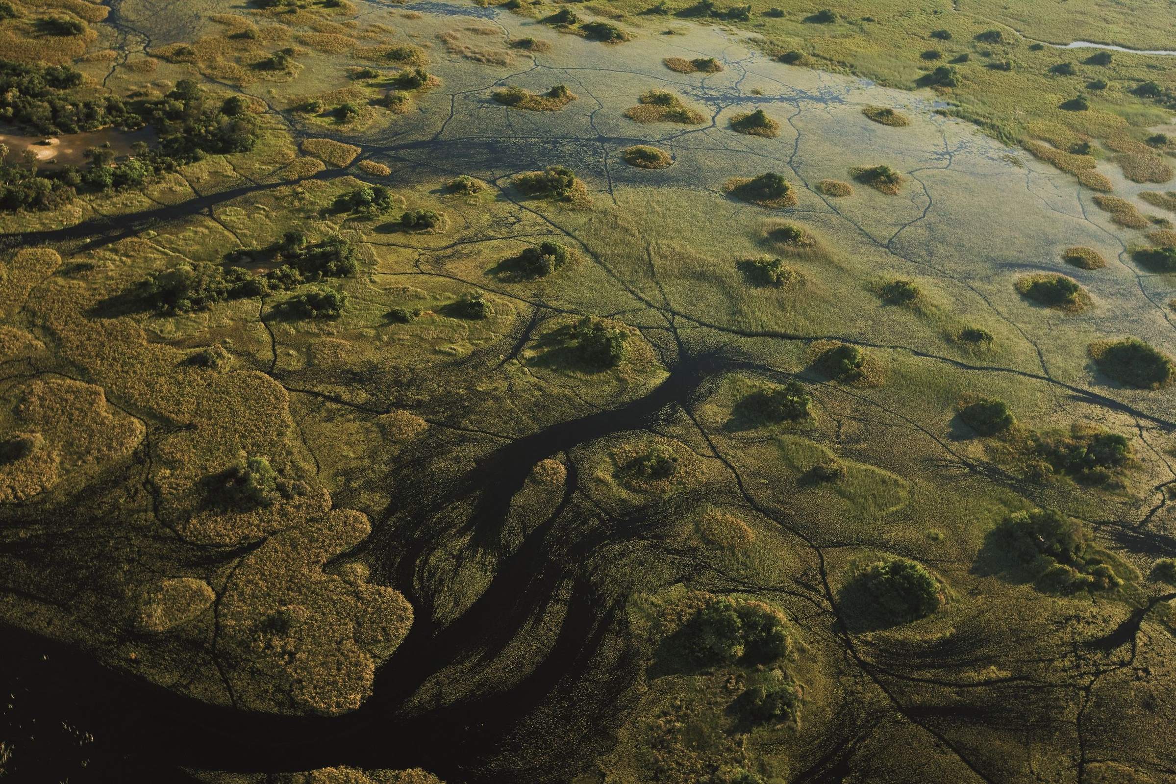
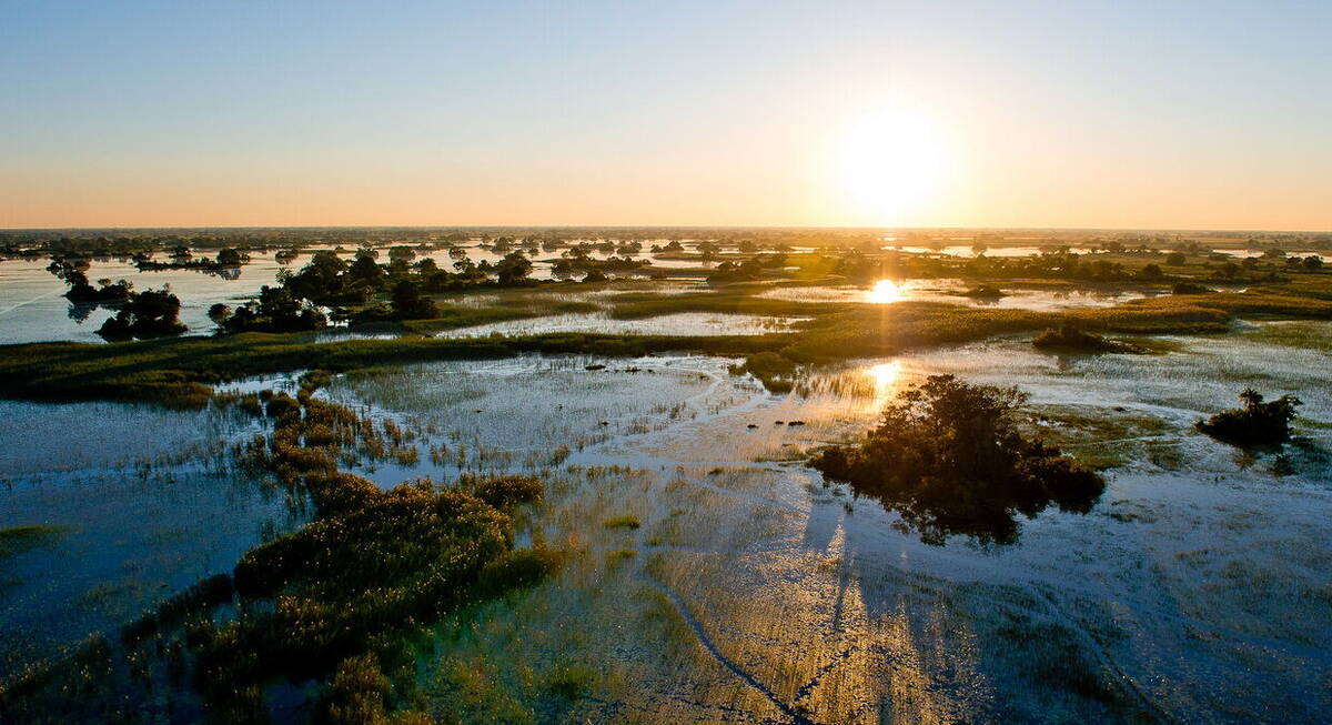
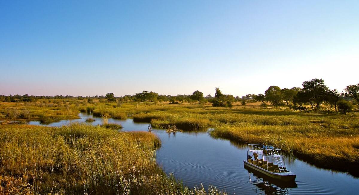
Visiting Chobe, Okavango Delta
US$7,290 - US$13,320 per person
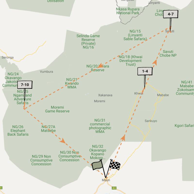
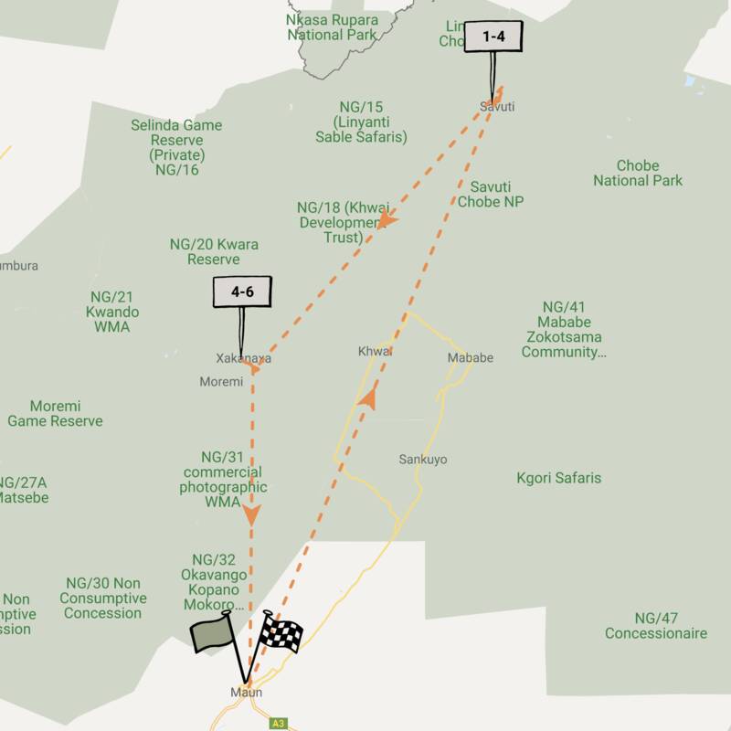
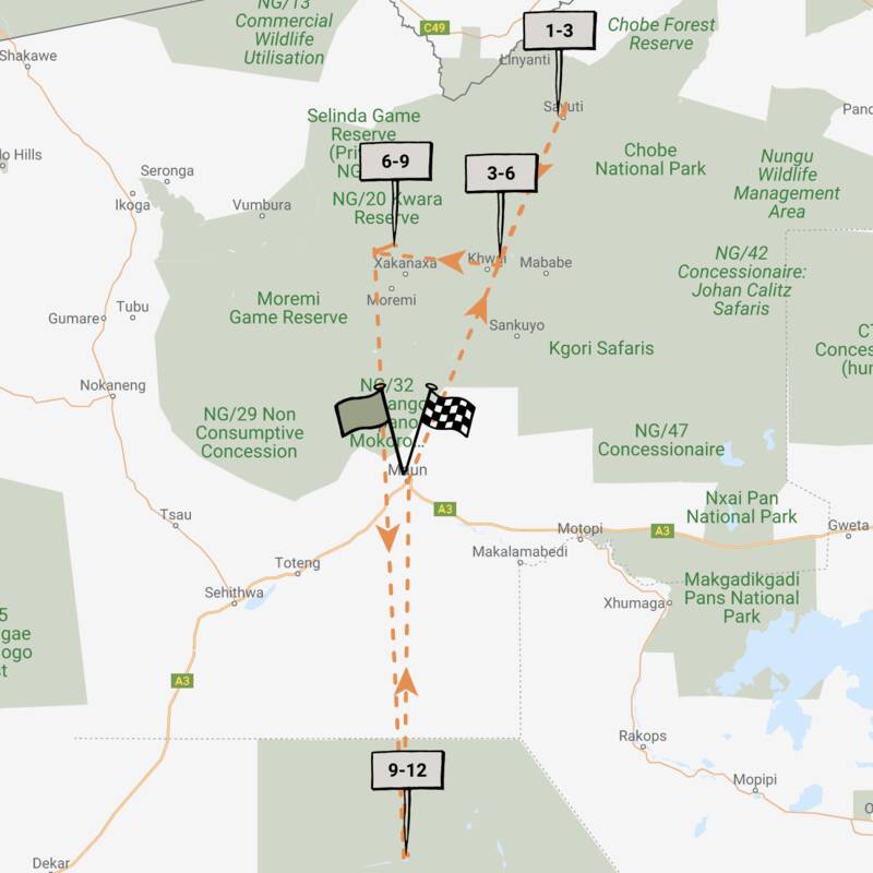
Wild Dog Safari
13 days • 5 locations • 1 country
KASANE AIRPORT TO MAUN AIRPORT
An in-depth discovery of northern Botswana’s wilderness, from Chobe and the private Kwando Reserve to the Moremi and iconic Okavango Delta with a great variety of activities and wildlife.
Visiting Chobe, Moremi and 2 other areas
US$12,230 - US$21,930 per person
Steenbok Safari
9 days • 3 locations • 1 country
MAUN AIRPORT TO MAUN AIRPORT
A classic Botswana safari exploring the Moremi, Chobe National Park and Okavango Delta. Excellent wildlife viewing and a variety of activities from three of our favourite traditional tented camps.
Visiting Chobe, Okavango Delta and 1 other area
US$7,260 - US$13,480 per person

Leopard Safari
13 days • 4 locations • 3 country
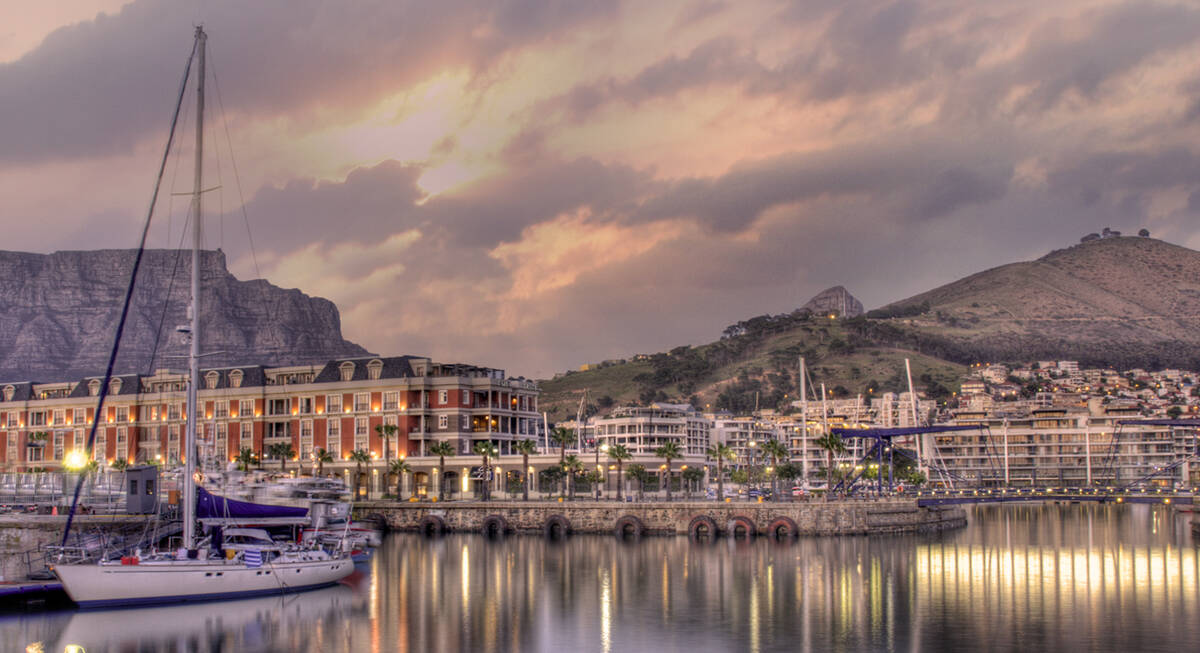
VICTORIA FALLS AIRPORT TO CAPE TOWN AIRPORT
Victoria Falls, Botswana and Cape Town – a classic southern African itinerary combining luxury, wilderness, safari and culture. We can't think of a better way to spend two weeks.
Visiting Victoria Falls, Chobe and 2 other areas
US$12,050 - US$17,820 per person
Wattled Crane Safari
5 days • 2 locations • 1 country
MAUN AIRPORT TO MAUN AIRPORT
A good-value Botswana safari staying at comfortable lodges in prime wildlife-viewing areas – Chobe National Park and the Moremi Reserve in the Okavango Delta.
Visiting Chobe, Moremi
US$4,690 - US$8,310 per person
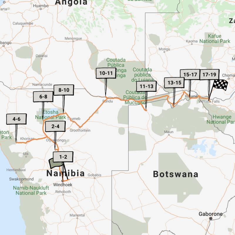
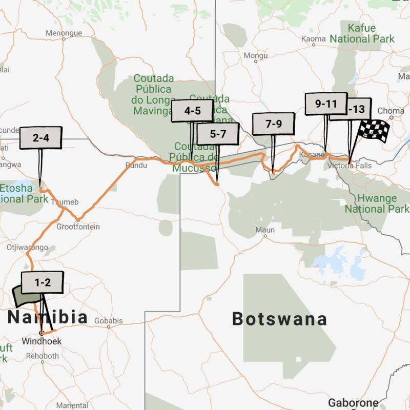
Pygmy Mouse Self-drive Safari
18 days • 10 locations • 3 country
WINDHOEK AIRPORT TO VICTORIA FALLS AIRPORT
A truly epic southern African self-drive safari adventure from Namibia’s mountains and deserts, along the lush Caprivi Strip to Botswana and Victoria Falls in Zimbabwe, staying at luxury lodges throughout.
Visiting Etosha, Victoria Falls and 6 other areas
US$5,360 - US$8,680 per person
Sable Self-drive Safari
12 days • 7 locations • 3 country
WINDHOEK AIRPORT TO VICTORIA FALLS AIRPORT
A great-value southern African self-drive adventure from Namibia along the Caprivi Strip to Botswana and Zimbabwe, combining other-worldly landscapes, unforgettable wildlife spectacles and rarely visited places, and ending at Victoria Falls.
Visiting Etosha, Chobe and 4 other areas
US$5,940 - US$8,060 per person
Porcupine Safari
11 days • 4 locations • 1 country
MAUN AIRPORT TO MAUN AIRPORT
Visit dramatically contrasting landscapes boasting a variety of species during this exploration of Botswana’s top-safari destinations. A combination of national parks and private reserves allows for a range of activities.
Visiting Chobe, Central Kalahari and 2 other areas
US$10,710 - US$16,860 per person
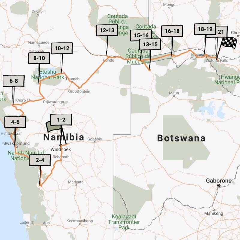
Rock Hare Self-drive Safari
20 days • 12 locations • 3 country
WINDHOEK AIRPORT TO VICTORIA FALLS AIRPORT
An in-depth look at Namibia from the Namib Desert to the Caprivi, with additional stops in Botswana and Victoria Falls. This three-week adventure includes an unrivalled mix of environments and is great value.
Visiting Etosha, North-west Kalahari and 7 other areas
US$5,050 - US$7,200 per person

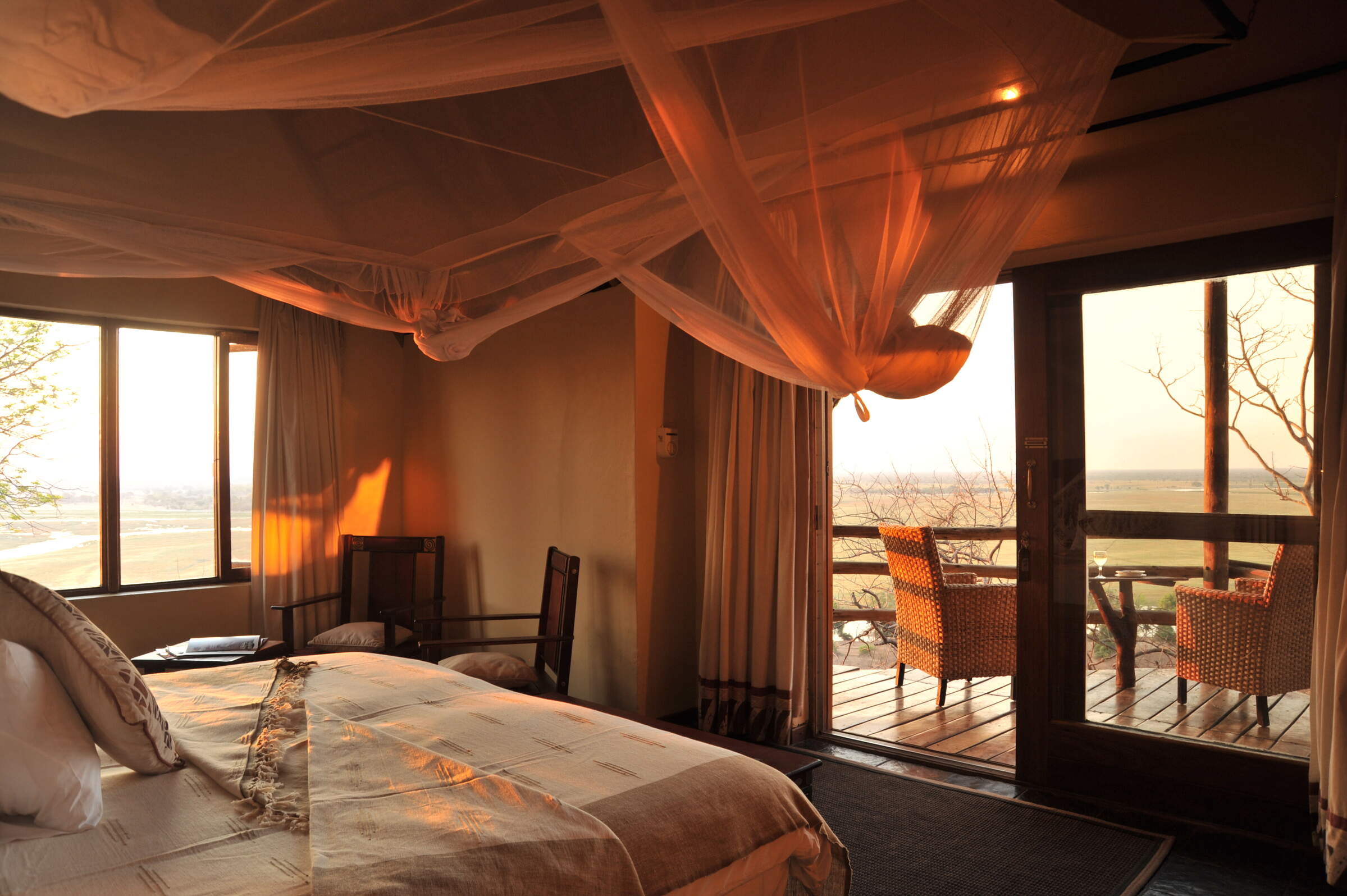
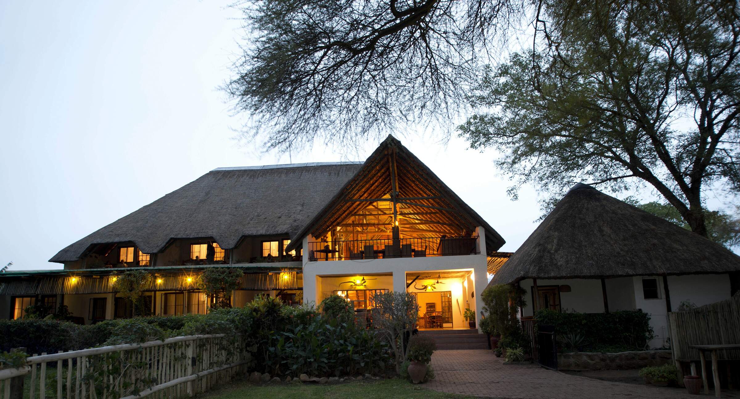
Where to stay in Chobe
Our suggestions for safari camps in Chobe National Park
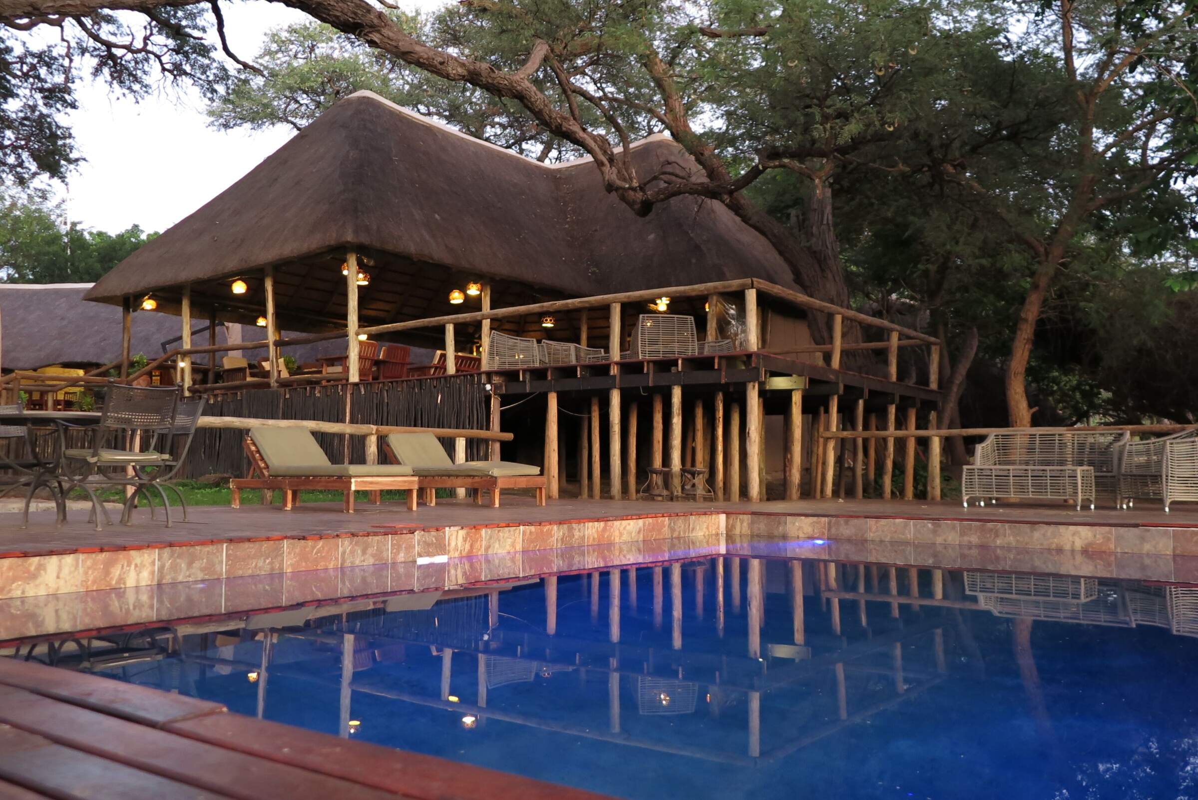
Muchenje Safari Lodge
One of our favourites in the area, Muchenje is a small, welcoming lodge at the quieter, western end of the Chobe Riverfront.
Chobe River Lodge
Overlooking the Chobe River, the intimate Chobe River Lodge is a haven of tranquillity away from the bustle of Kasane.

Savute Safari Lodge
Savute Safari Lodge sits on the banks of the Savuti Channel within Chobe National Park, and offers access to excellent game viewing, especially during the dry season.
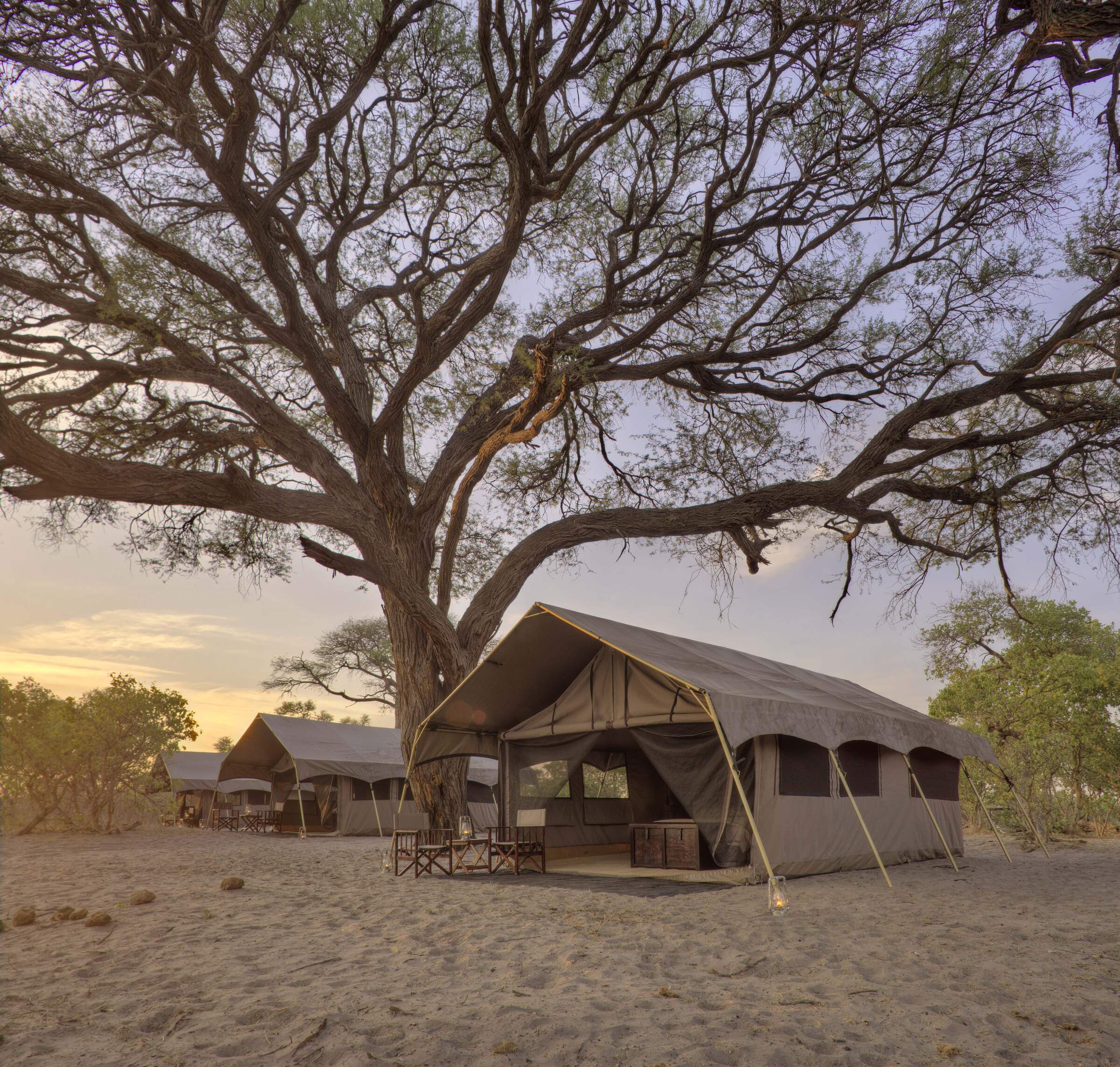
Savute Under Canvas
A mobile camp with the comforts of a semi-permanent tented camp, Savute Under Canvas offers guided game drives within the Savuti region of Chobe National Park.

Chobe Under Canvas
This is a typical location for Chobe under Canvas, a small, semi-permanent camp in the Chobe Riverfront area that offers good value for money and high standards of care.
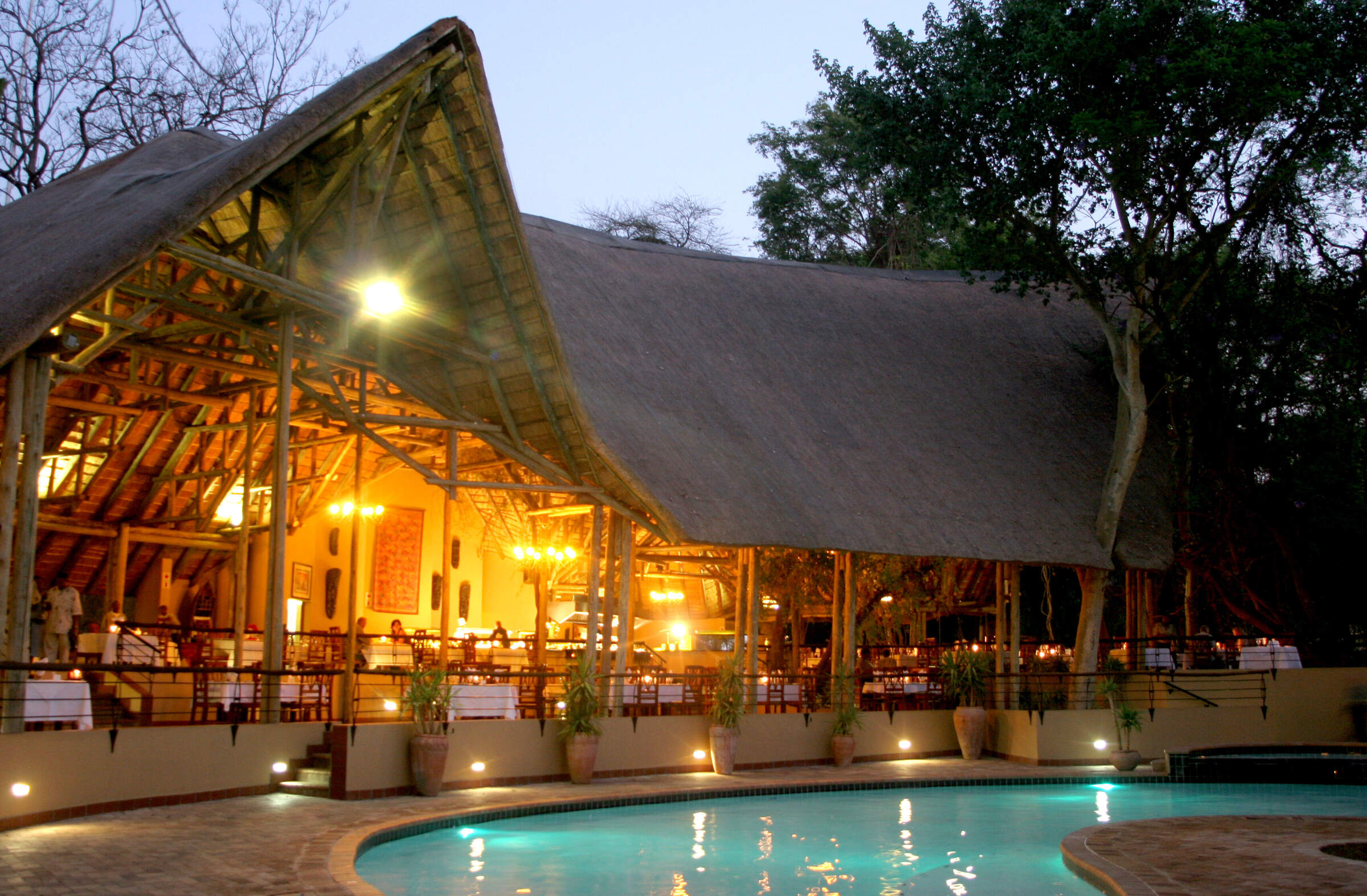
Chobe Safari Lodge
Chobe Safari Lodge is a good value, hotel-style lodge in the heart of Kasane offering game drives, boat cruises and fishing trips.

Chobe Elephant Camp
Located in one of our favorite areas of Chobe National Park, Chobe Elephant Camp is a simple but well-appointed camp with a strong bush feel.

Chobe Game Lodge
Chobe Game Lodge occupies an enviable riverfront location within Chobe National Park and boasts well-earned 'eco' credentials, as well as an excellent all-female guiding team.

Ngoma Safari Lodge
With sweeping views across the floodplains of the Chobe River, Ngoma offers superb food and flexible safari activities.
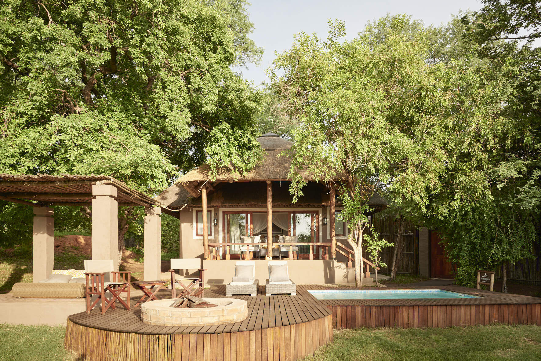
Chobe Chilwero
On the periphery of Chobe National Park, Chobe Chilwero offers luxurious surroundings and excellent food, which complement superb game viewing on game drives and boat trips.

Camp Kuzuma
Camp Kuzuma sits in the Kazuma Forest Reserve and is an excellent place to see elephant in particular. Away from the busier riverfront area of Chobe National Park this camp offers a luxurious base form which to explore this less visited region of northern Botswana.
Savute Elephant Lodge
Savute Elephant Lodge is a luxurious camp on the banks of the now flowing Savuti Channel. This is a classic big-game area, although its location within Chobe National Park does limit the activities which are possible here.
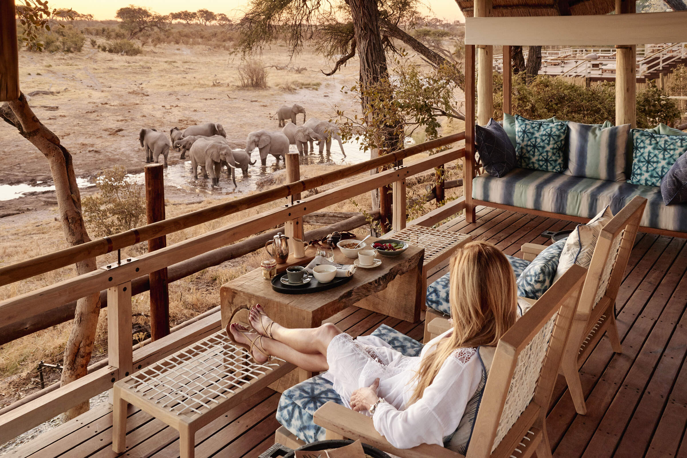
Elephant Valley Lodge
Elephant Valley Lodge is a lovely camp in a beautiful setting – sit in its hide and watch the wildlife come to drink at the waterhole. Activities focus on boating and drives in Chobe which - although very busy, and a long drive from the lodge – is very rich in wildlife.
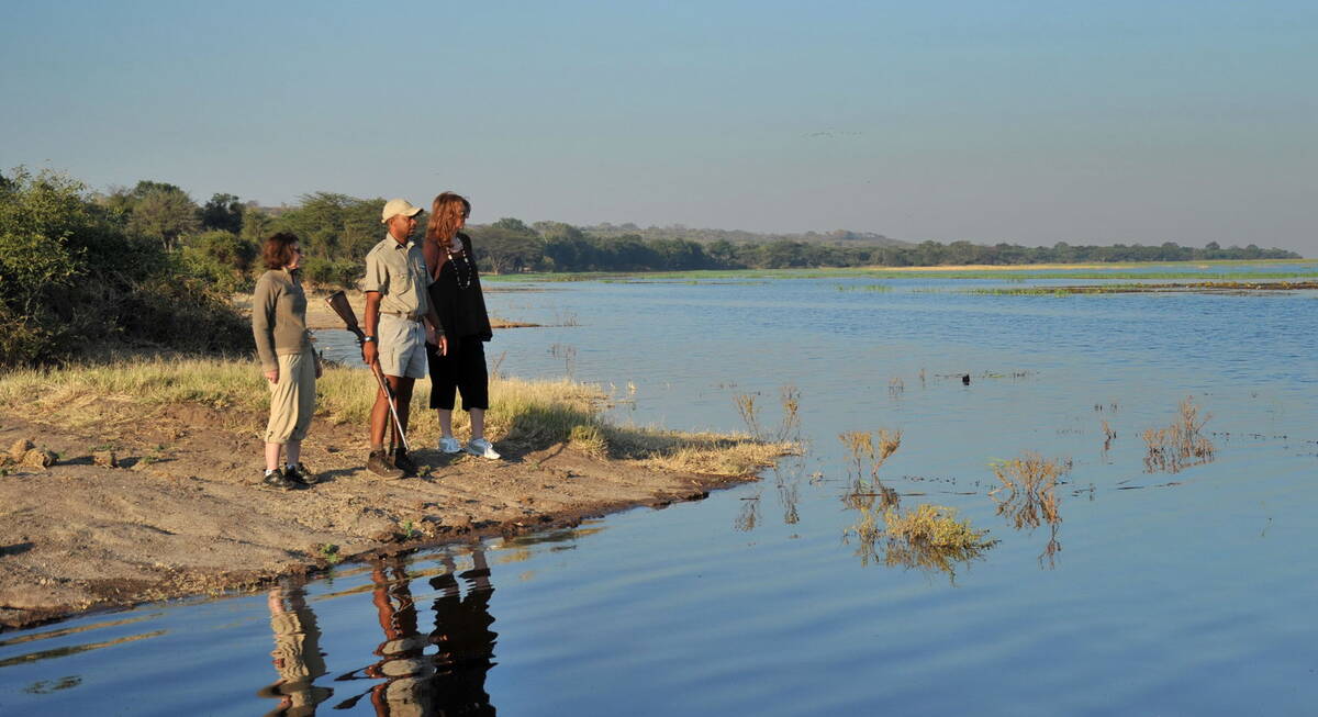
Our travellers’ wildlife sightings in Chobe
This is their success for sightings in Chobe National Park.
Click on a species for more detail. How we work this out.

100% success

99% success

92% success

92% success

89% success

88% success

48% success

47% success

47% success

39% success

38% success

26% success

20% success

13% success

5% success

4% success

1% success

1% success