Maps of Malawi: two styles
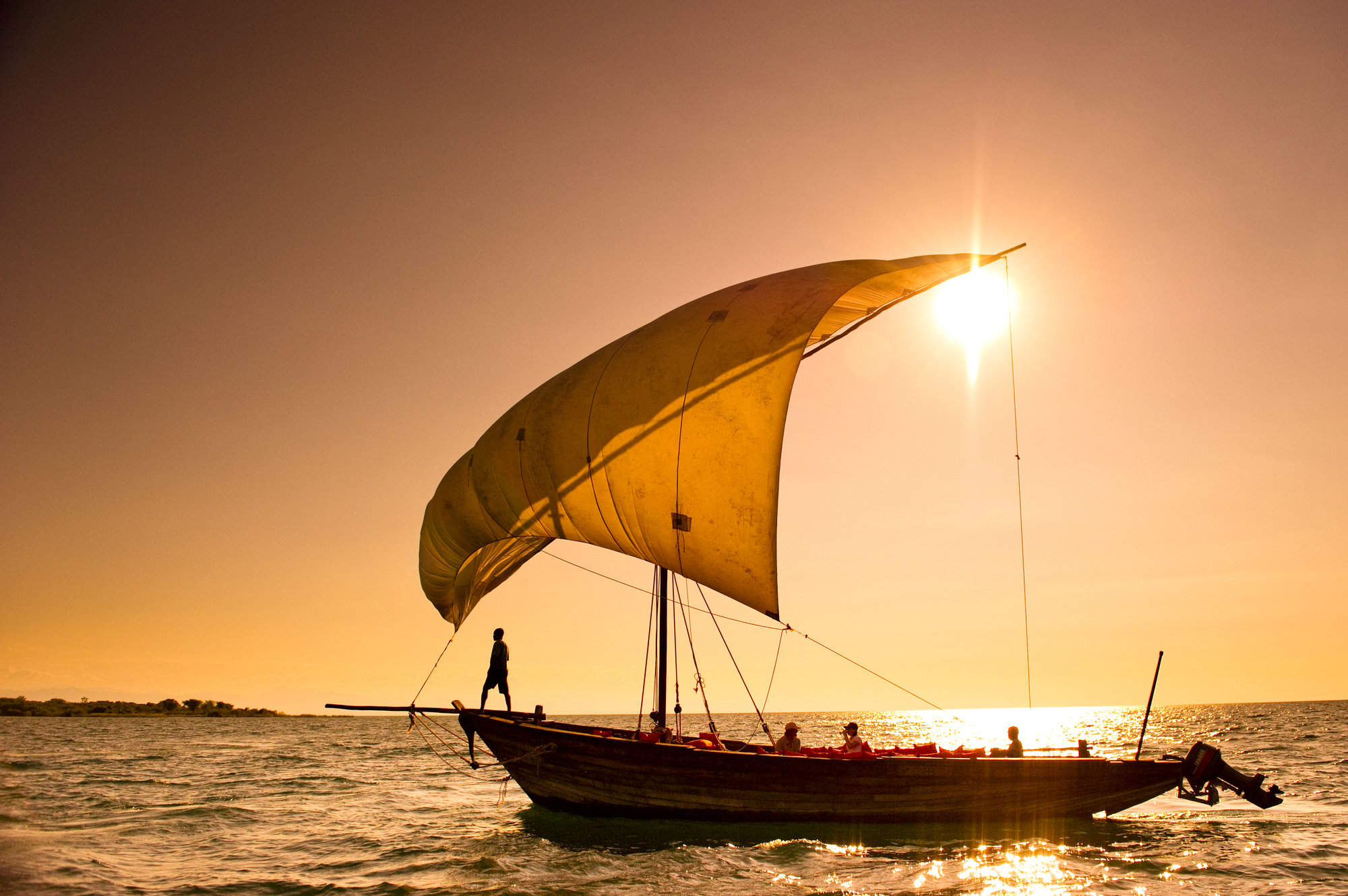
A quick glance at a map makes it clear that Malawi’s shape is defined by Lake Malawi. Fringing the eastern side of the country it occupies the valley floor of the Great Rift Valley, its steep sides creating a dramatic yet fertile landscape.
This natural diversity is thrown into relief with our different styles of mapping. Switch on “terrain” imagery and the country’s highlands stand out; zoom into the areas and you’ll gain a vivid indication of the country’s topography – with its wildlife reserves and safari lodges.
Click onto any of the markers, and follow the links in the bubbles until you find maps of these areas, with precise locations for the various safari camps and lodges.
Our map of Malawi
This a sketch map of Malawi – showing its key road arteries, national parks, towns, and areas of interest for visitors.

Google map of Malawi
This map splits areas for holidays and safaris in Malawi into seven areas, each marked by a large blue marker. Read about them by clicking on these large markers.
To see the more detailed maps of these areas, follow links in the bubbles – or at the bottom of the page. These more detailed area maps mark the precise locations of various different hotels, guest houses and safari lodges and camps.
Our top trips in Malawi
Here are 4 great Malawi trips to inspire you.
Utaka Cichlid Safari
10 days • 3 locations
BLANTYRE AIRPORT TO LILONGWE AIRPORT
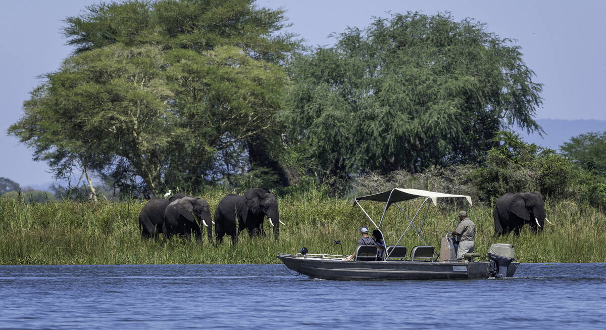
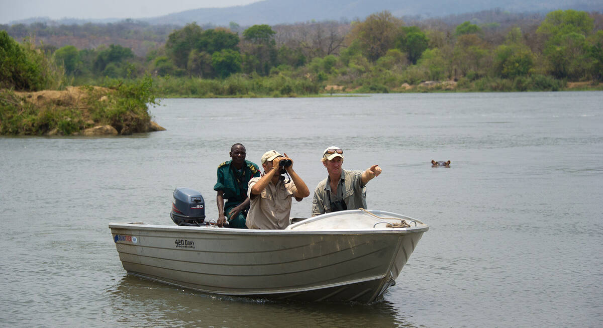
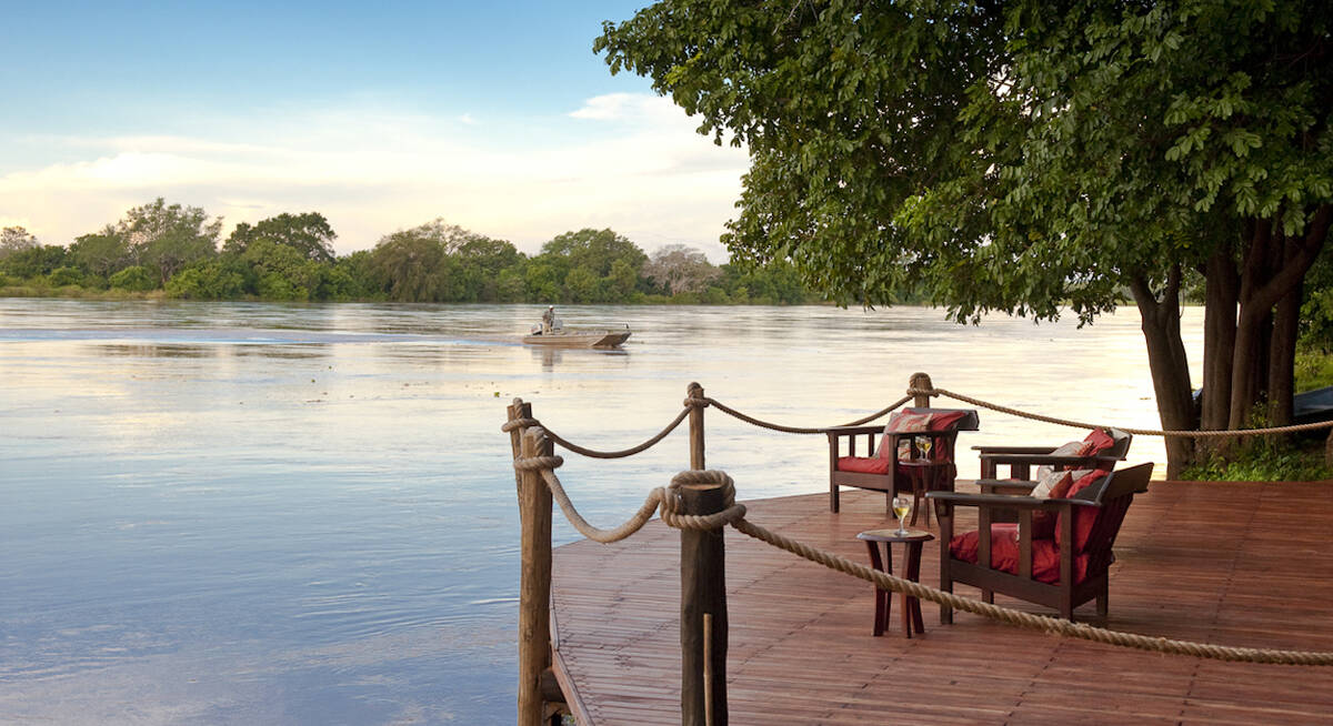
Explore two of Malawi's safari parks - Majete Wildlife Reserve and Liwonde National Park - before finishing your trip with some beach time: relaxing, snorkelling and sailing in Lake Malawi National Park.
US$4,340 - US$5,700 per person
Red Zebra Cichlid Safari
7 days • 2 locations
BLANTYRE AIRPORT TO LILONGWE AIRPORT
Explore two of Malawi's highlights, with a safari in rugged, remote Majete Wildlife Reserve before some beach time: relaxing, snorkelling and sailing in Lake Malawi National Park.
US$3,400 - US$4,500 per person
Hyena Safari
11 days • 4 locations
VICTORIA FALLS AIRPORT TO LILONGWE AIRPORT
Mix relaxation and adventure on a safari combining the South Luangwa with Victoria Falls and the beaches of Lake Malawi. These three locations are among the most iconic in southern Africa.
US$8,630 - US$11,910 per person
Peacock Cichlid Safari
4 days • 1 locations
LILONGWE AIRPORT TO LILONGWE AIRPORT
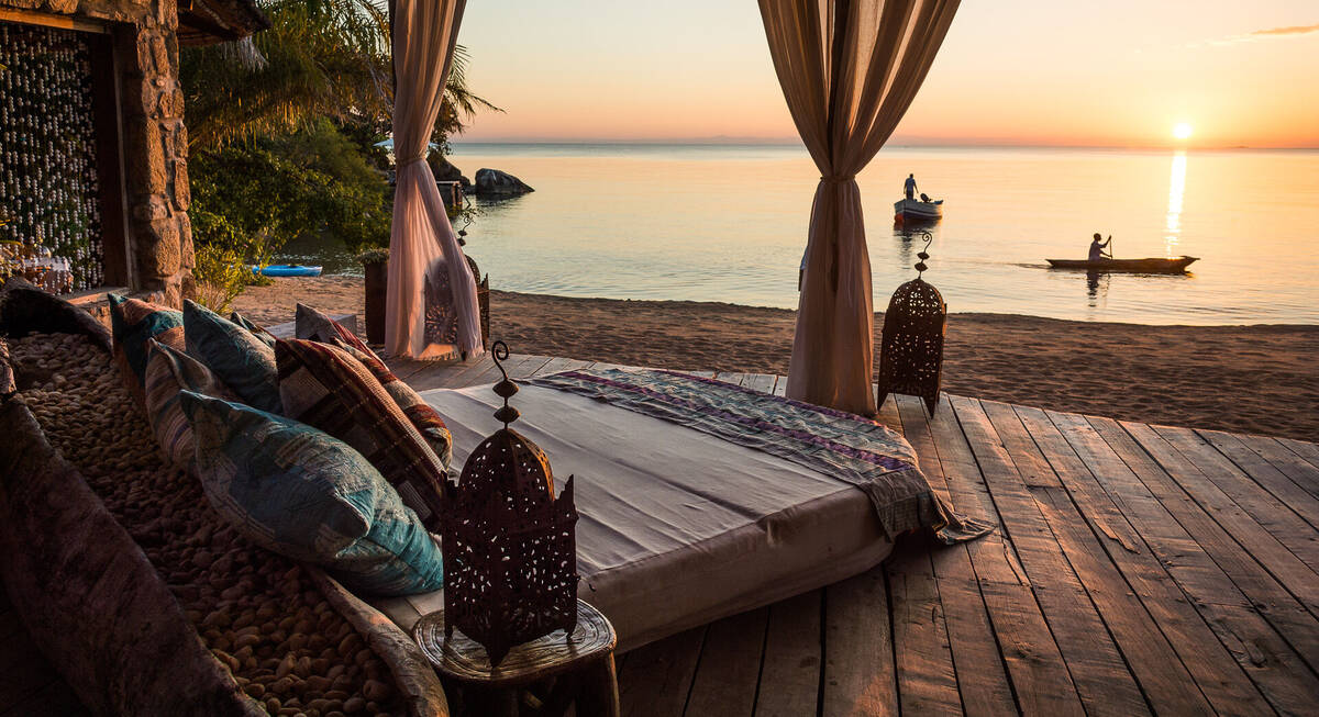
Snorkel in Lake Malawi’s famously clear fresh water, relax on the beach and explore Likoma Island from the award-winning Kaya Mawa. A chilled luxury add-on to end your safari.
US$3,430 - US$4,480 per person
Malawi fact file
Useful information to help you prepare for your trip in Malawi

LGBT travel in Malawi
Attitudes, the law & our experiences

Flights to Malawi
How to get to Malawi and our experiences

Malawi general info
Essential travel info for Malawi

Tipping in Malawi
Expectations & guidelines for tipping
Weather & climate
The best time to visit Malawi
