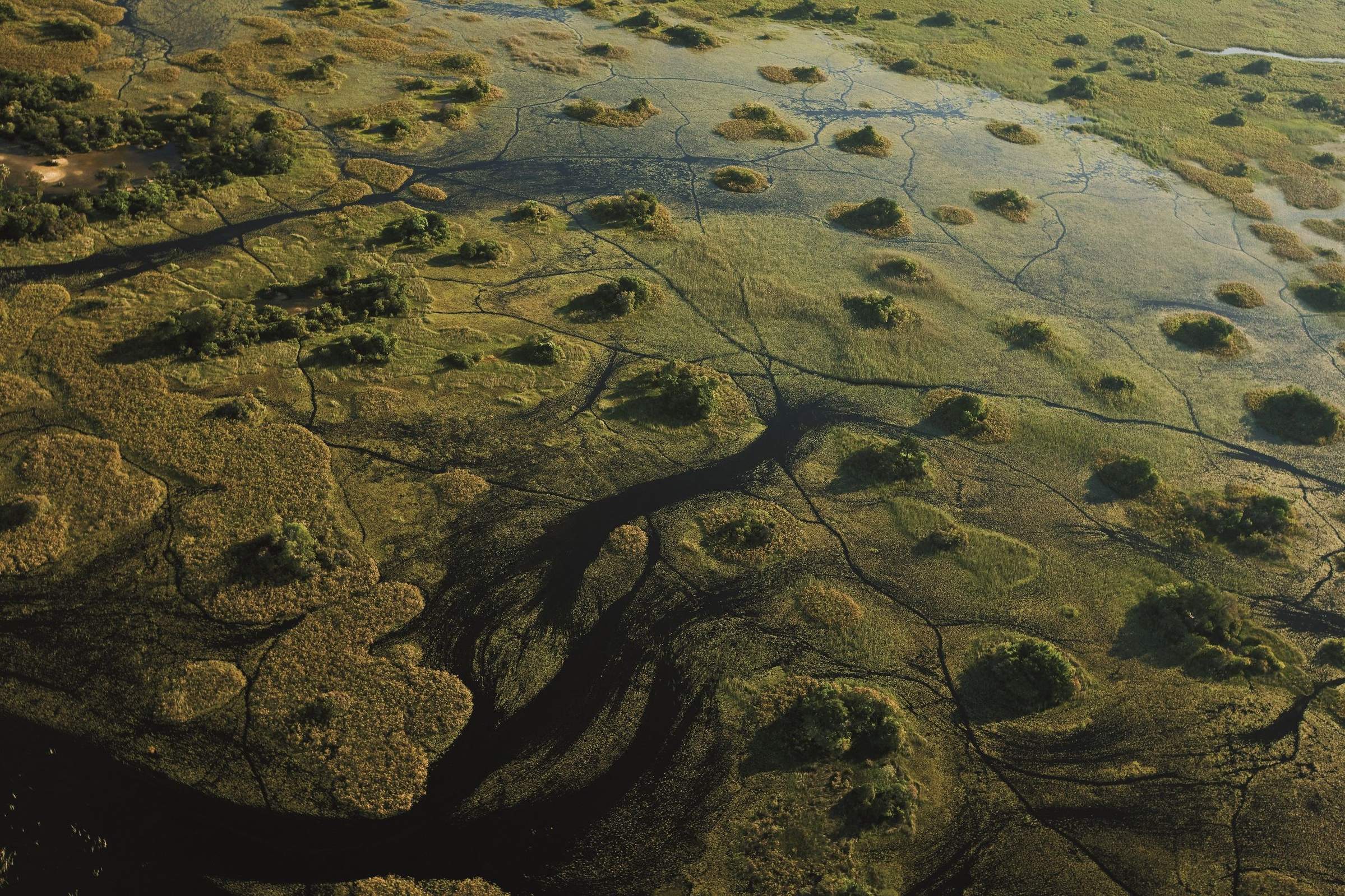
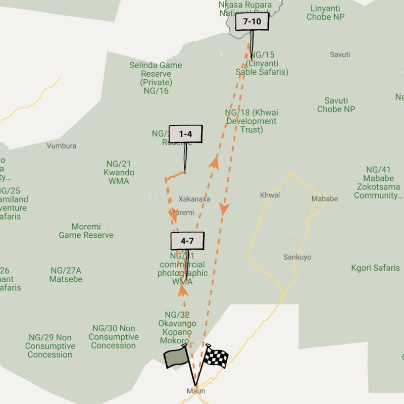
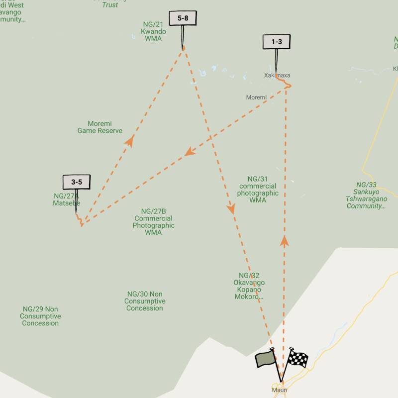
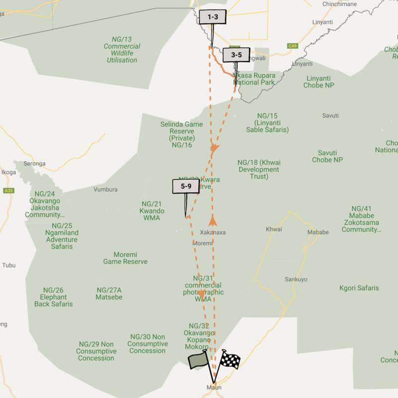
Map of Okavango Delta Safari Reserves
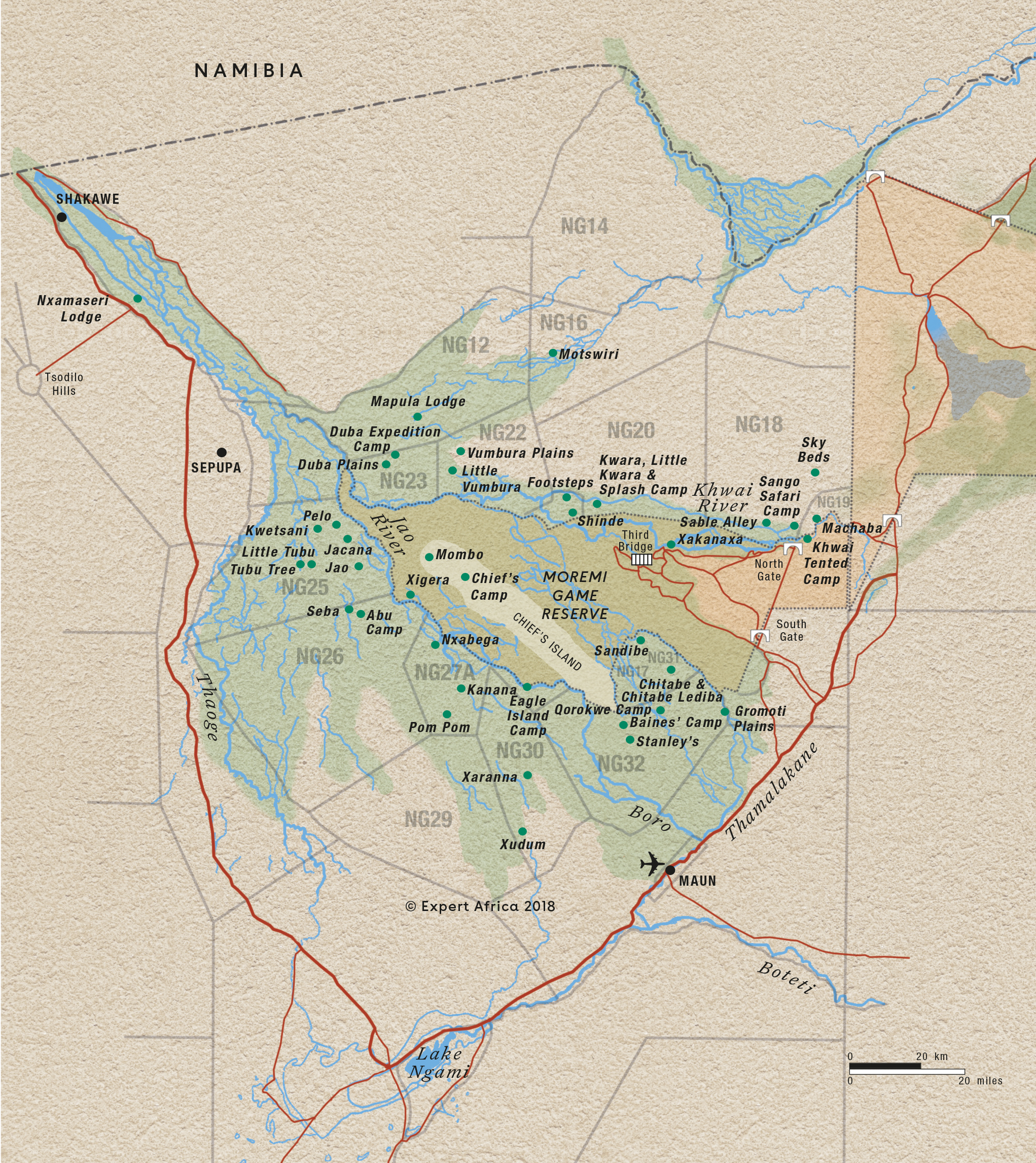
Okavango Delta Safari Reserves reference map
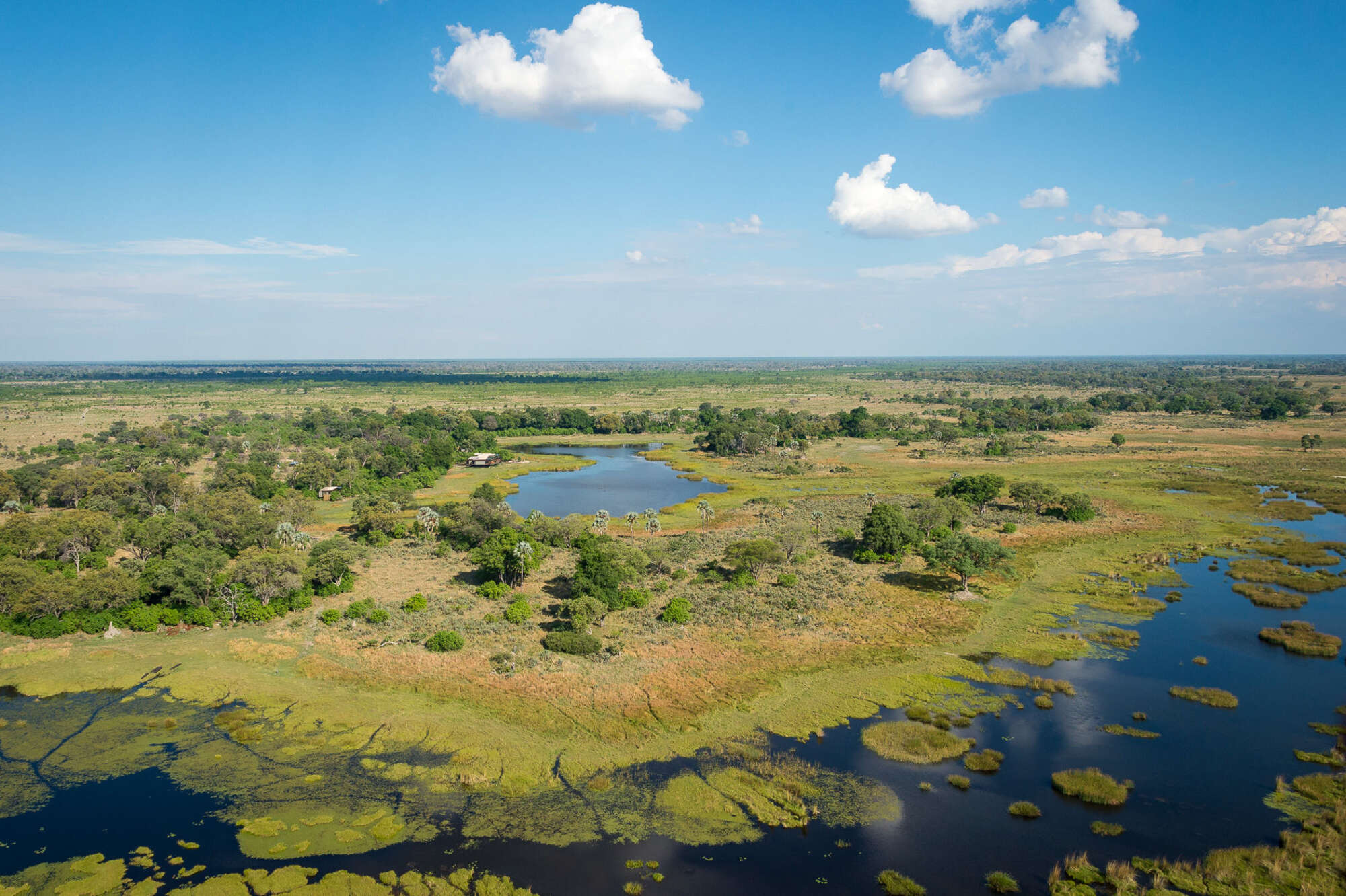
Google map of Okavango Delta
This map shows our safari camps and lodges in the Okavango Delta. For a map designed for our travellers, including the reserve boundaries, see our reference map of the Okavango Delta.
Safaris visiting Okavango Delta
Just ideas, we'll always tailor-make a trip for you
Kudu Safari
7 days • 2 locations • 1 country
MAUN AIRPORT TO MAUN AIRPORT
A luxury Botswana safari exploring the Okavango Delta staying at Nxebega Camp and the stunning Sandibe Lodge, with excellent guiding and some of the most prolific wildlife viewing anywhere in Africa.
Visiting Okavango Delta
US$7,840 - US$18,400 per person
Large-spotted Genet Safari
9 days • 3 locations • 1 country
MAUN AIRPORT TO MAUN AIRPORT
A luxury safari exploring the Okavango Delta and Linyanti–Savuti, two of the best wildlife viewing areas in Botswana, staying at three top camps renowned for their guiding for a first-class experience.
Visiting Okavango Delta, Kwando-Linyanti
US$10,930 - US$23,640 per person

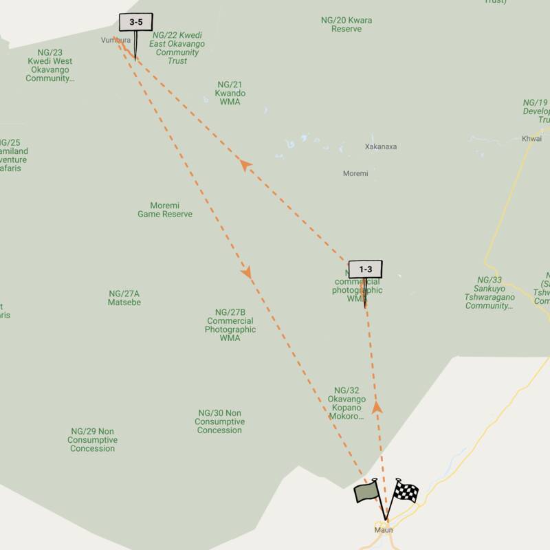
Bushbuck Safari
8 days • 3 locations • 1 country
MAUN AIRPORT TO MAUN AIRPORT
Discover three of Botswana’s best game-viewing regions with stays in the private Linyanti, Chitabe and Vumbura reserves. Intimate, smart camps offer a range of activities by which to discover these stunningly varied habitats.
Visiting Okavango Delta, Kwando-Linyanti
US$13,570 - US$31,740 per person
Tsessebe Safari
7 days • 3 locations • 1 country
MAUN AIRPORT TO MAUN AIRPORT
Visit three sister-camps in and around Moremi Game Reserve during this thorough exploration of the Okavango Delta. A range of activities provide excellent opportunity to observe the local birdlife, mammals and fauna.
Visiting Okavango Delta, Moremi
US$7,790 - US$11,820 per person
Pangolin Safari
8 days • 3 locations • 1 country
MAUN AIRPORT TO MAUN AIRPORT
Three relaxed, local feeling camps in pristine settings – the Kwando Reserve and Okavango Delta. Guided by a driver and tracker at each, this a great trip for spotting Botswana’s top predators.
Visiting Okavango Delta, Kwando-Linyanti
US$7,760 - US$16,190 per person


Great Egret Safari
12 days • 4 locations • 3 country
MAUN AIRPORT TO VICTORIA FALLS AIRPORT
A wonderfully varied adventure to Botswana and Zimbabwe combining three fantastic safari areas, a luxury river cruise and the mighty Victoria Falls.
Visiting Caprivi Strip, Okavango Delta and 2 other areas
US$9,190 - US$17,090 per person
Slaty Egret Safari
4 days • 2 locations • 1 country
MAUN AIRPORT TO MAUN AIRPORT
Two luxurious, intimate camps provide a highly personalised exploration of the Chitabe concession and private Vumbura reserve within the Okavango Delta. A range of water and land activities allows for stunning sightings.
Visiting Okavango Delta
US$7,000 - US$14,130 per person


Mopane Squirrel Safari
6 days • 2 locations • 1 country
MAUN AIRPORT TO MAUN AIRPORT
Visit two wildlife-rich private reserves in an exploration of the Okavango and Kwando regions. Sister camps Splash and Lagoon camp provide a range of immersive activities, and their long-stay discounts make for an excellent-value safari.
Visiting Kwando-Linyanti, Okavango Delta
US$5,890 - US$11,770 per person


Honey Badger Safari
6 days • 2 locations • 1 country
MAUN AIRPORT TO MAUN AIRPORT
Two smart sister camps offer access to the Central Kalahari Game Reserve and the heart of the Okavango Delta. Experience a spectacular range of habitats and wildlife through diversely exciting safari activities.
Visiting Okavango Delta, Central Kalahari
US$5,790 - US$10,150 per person
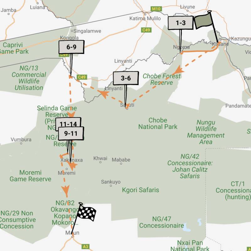
Wild Dog Safari
13 days • 5 locations • 1 country
KASANE AIRPORT TO MAUN AIRPORT
An in-depth discovery of northern Botswana’s wilderness, from Chobe and the private Kwando Reserve to the Moremi and iconic Okavango Delta with a great variety of activities and wildlife.
Visiting Chobe, Moremi and 2 other areas
US$12,230 - US$21,930 per person

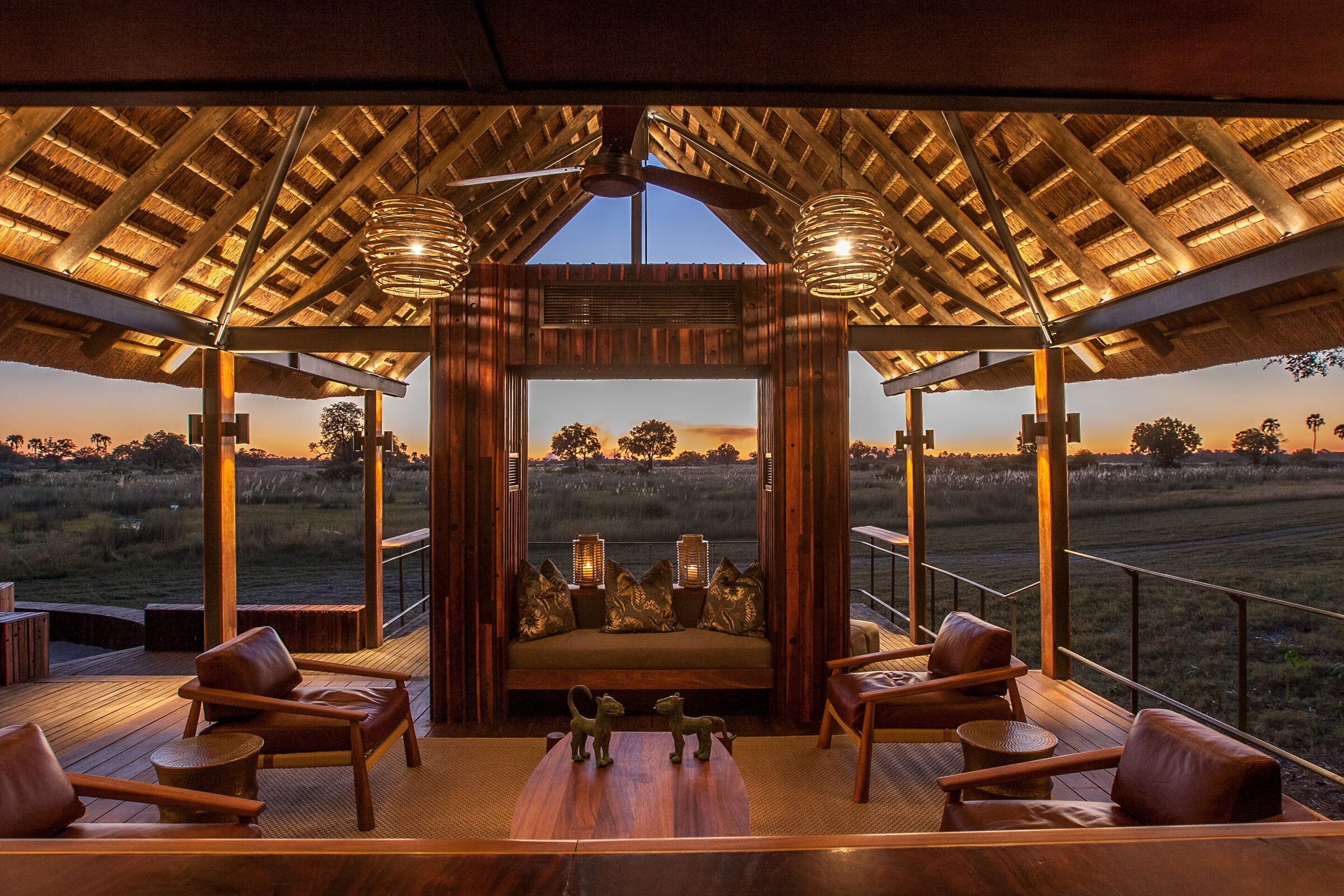
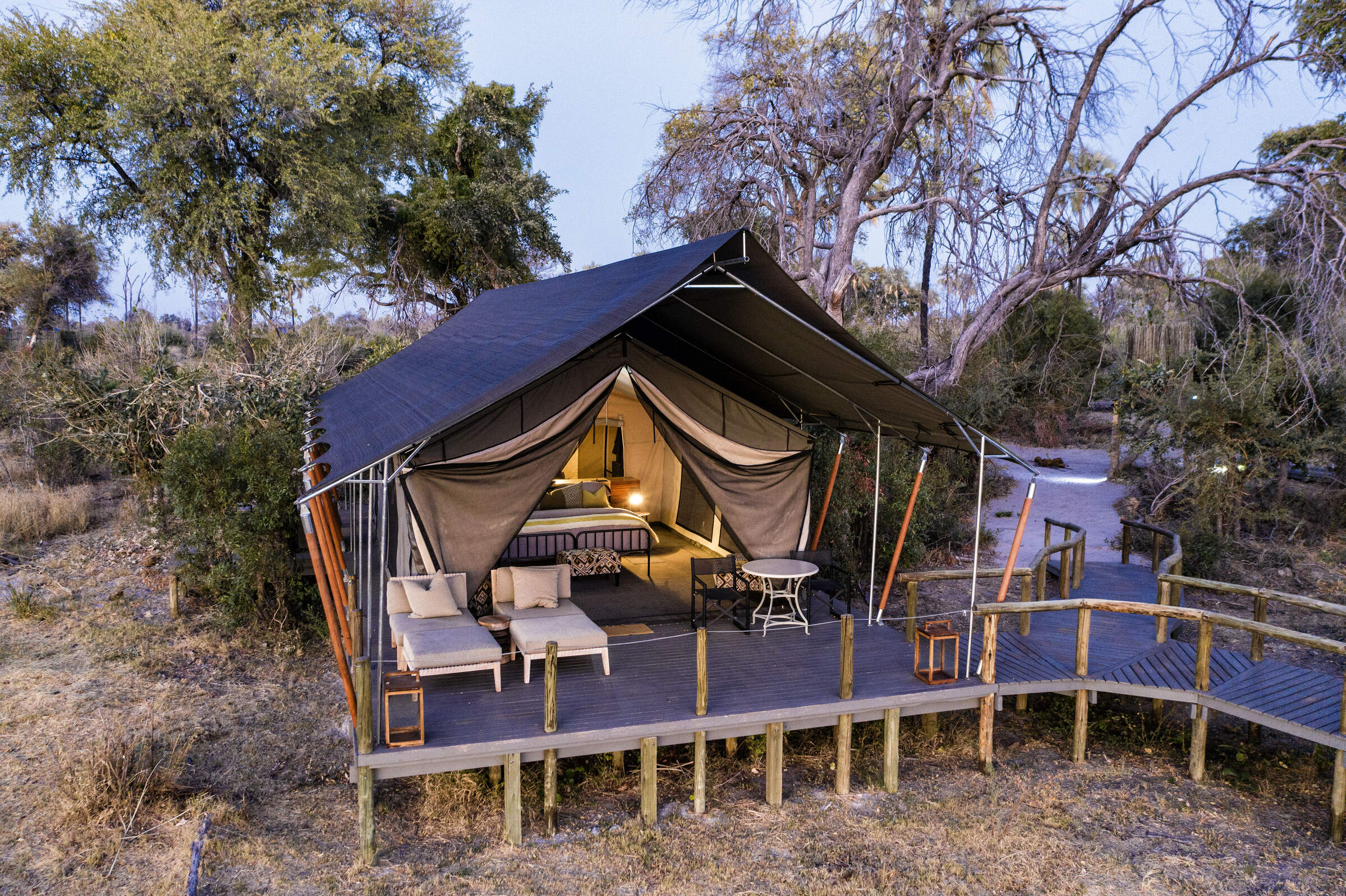
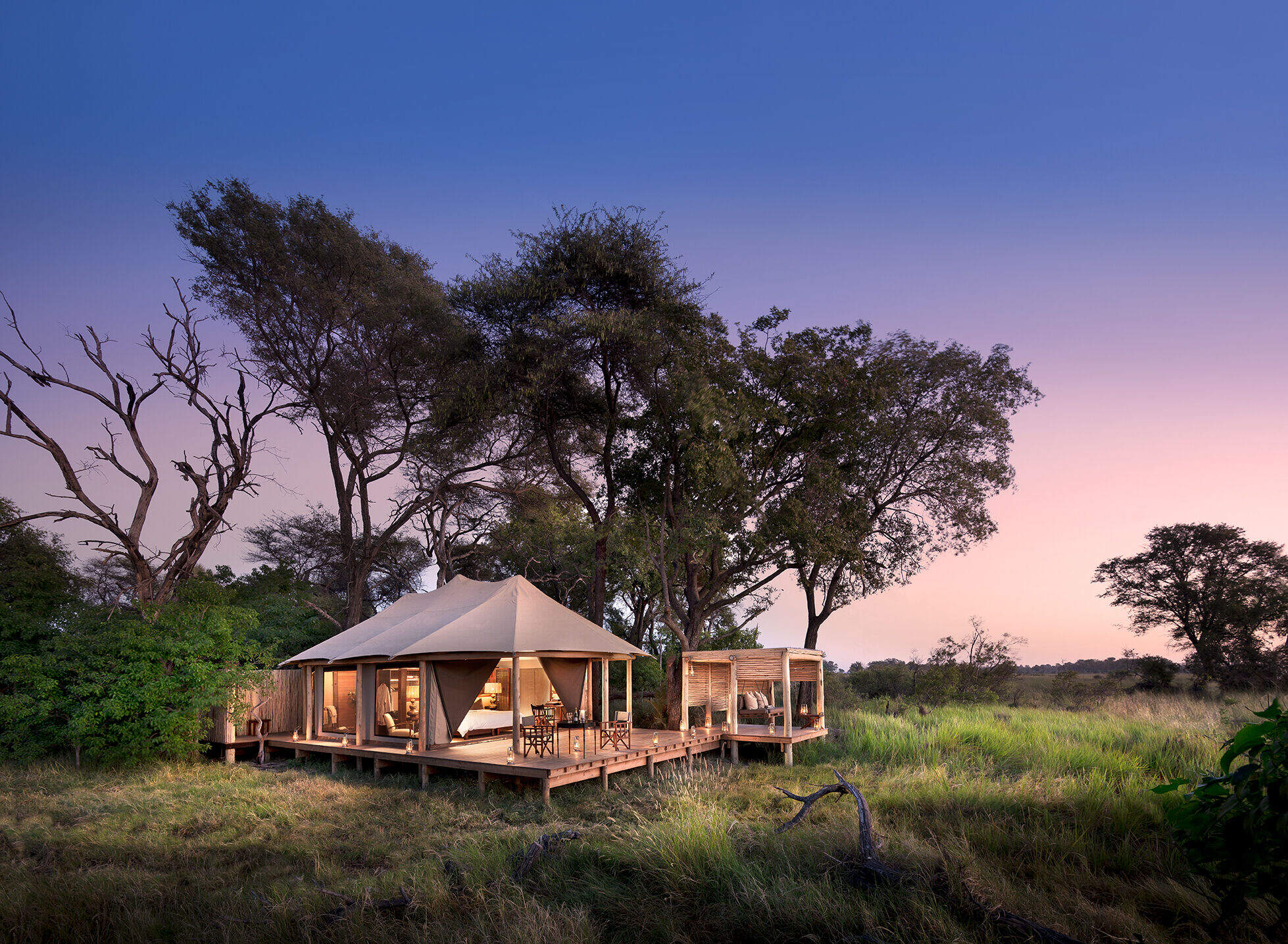
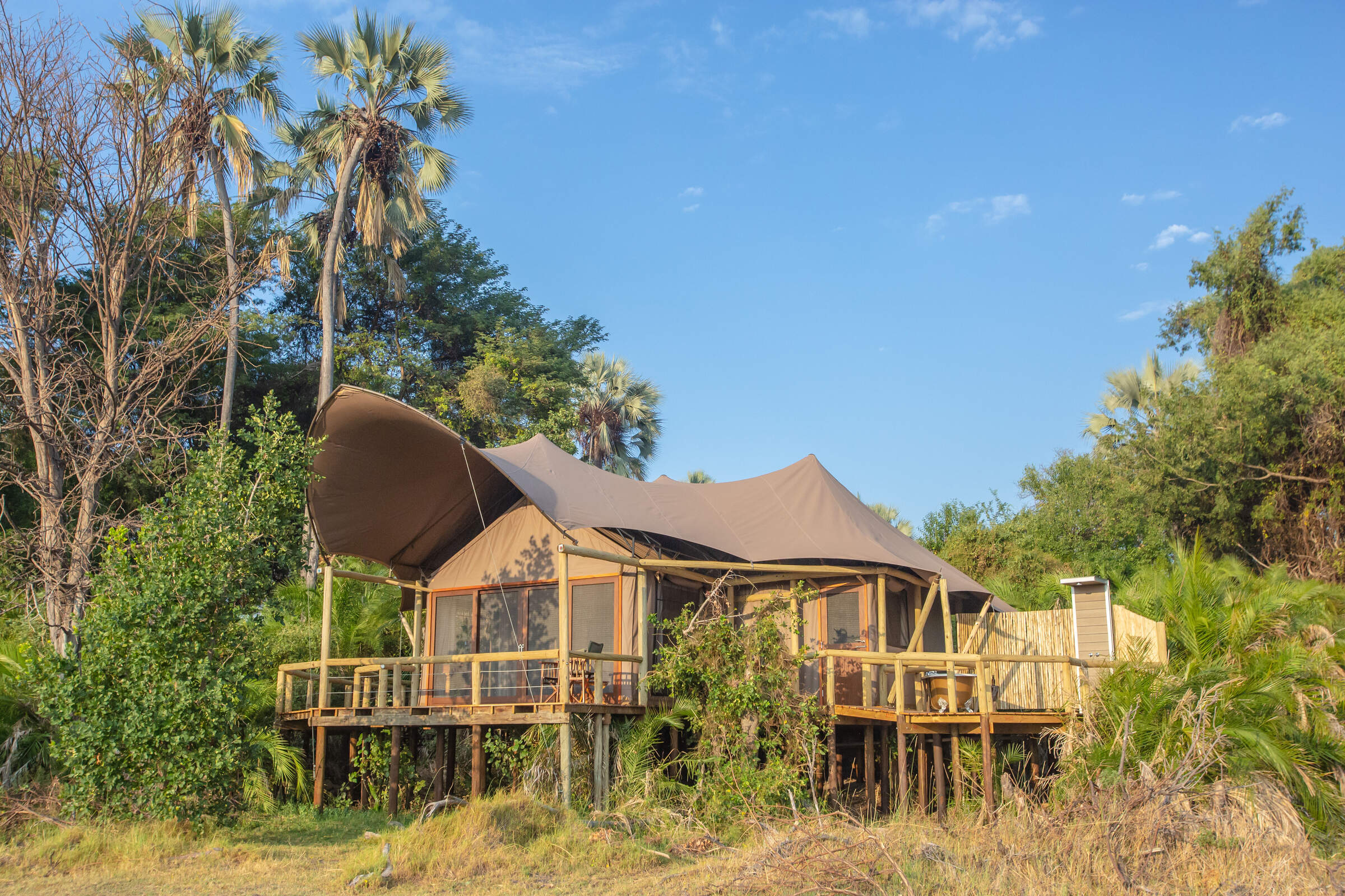
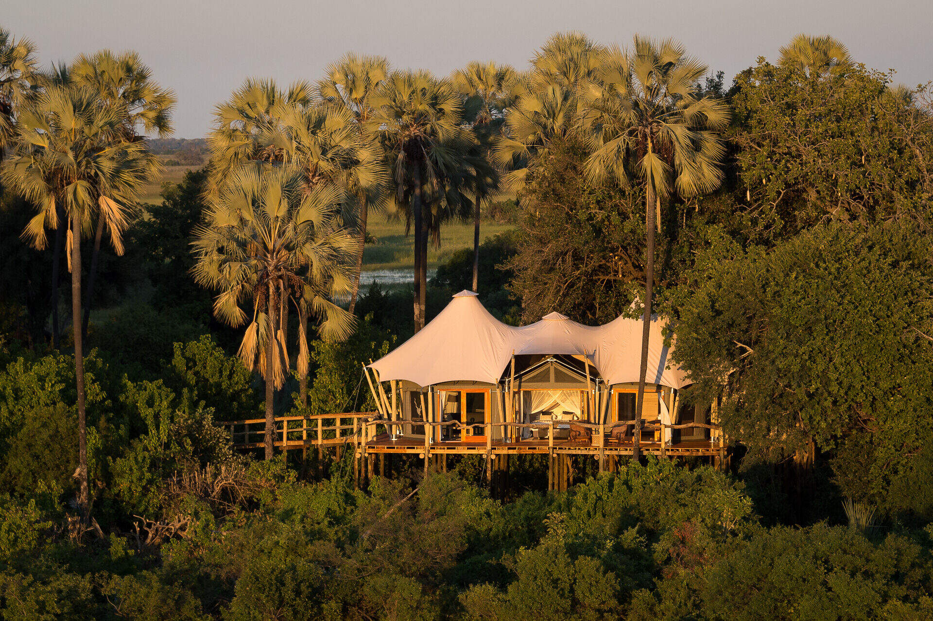
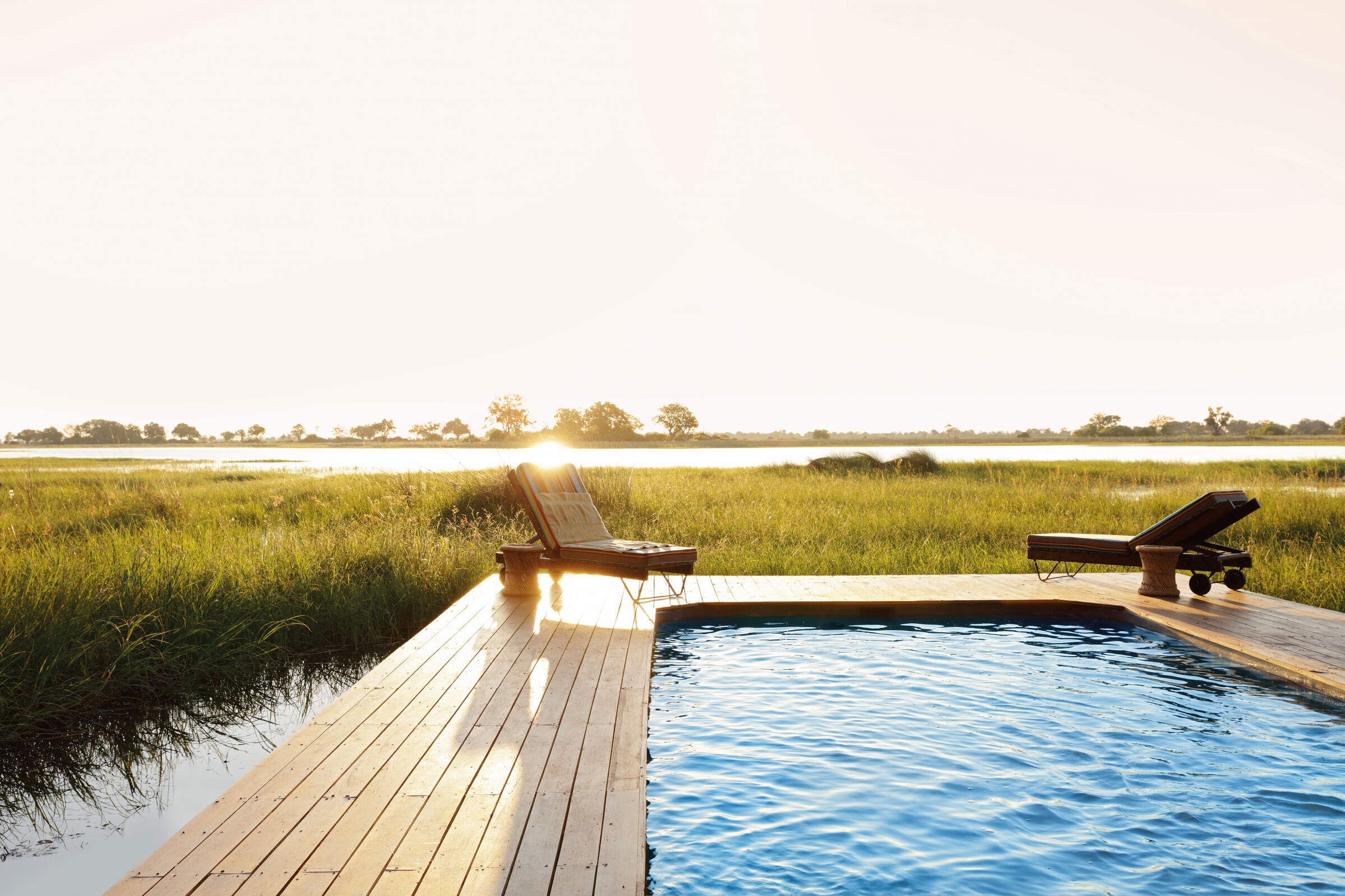
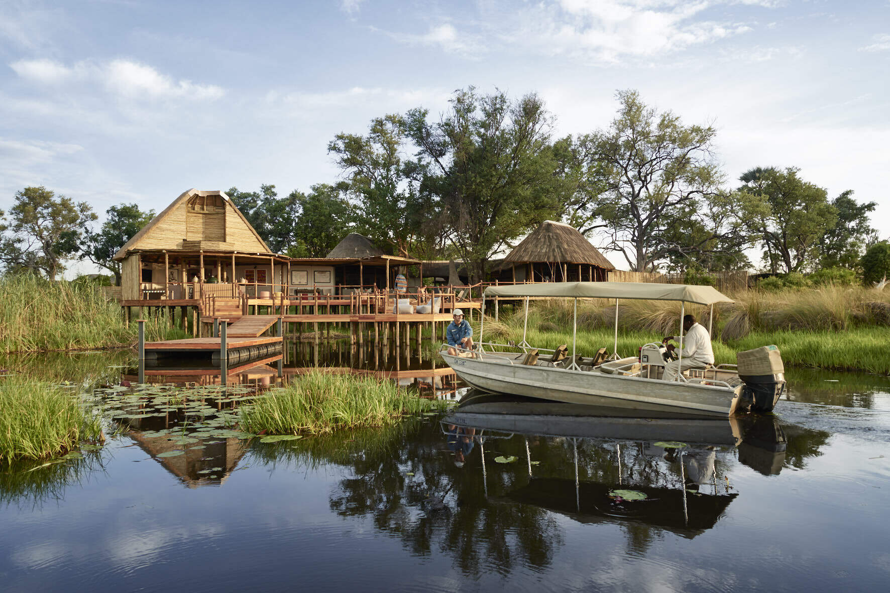
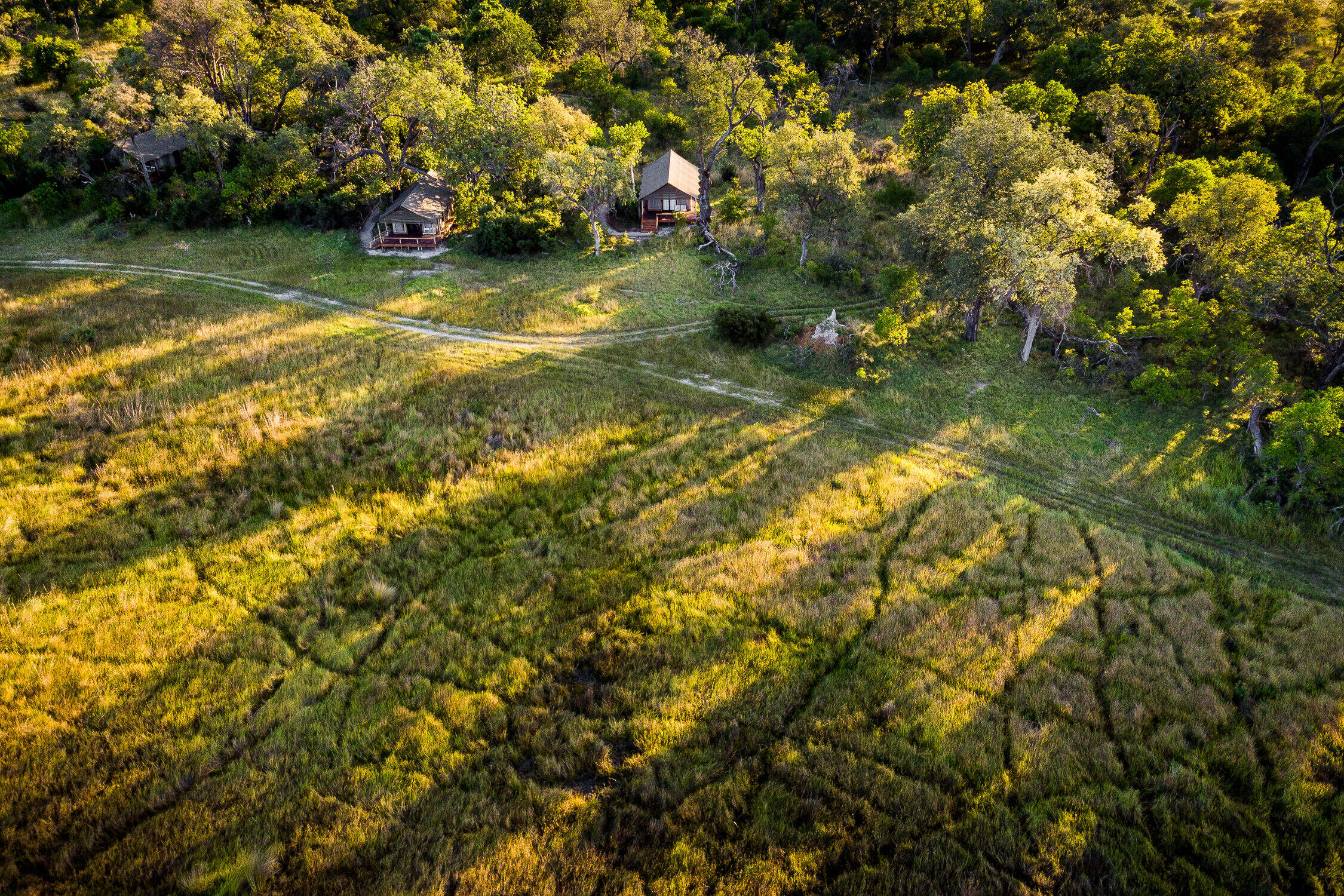
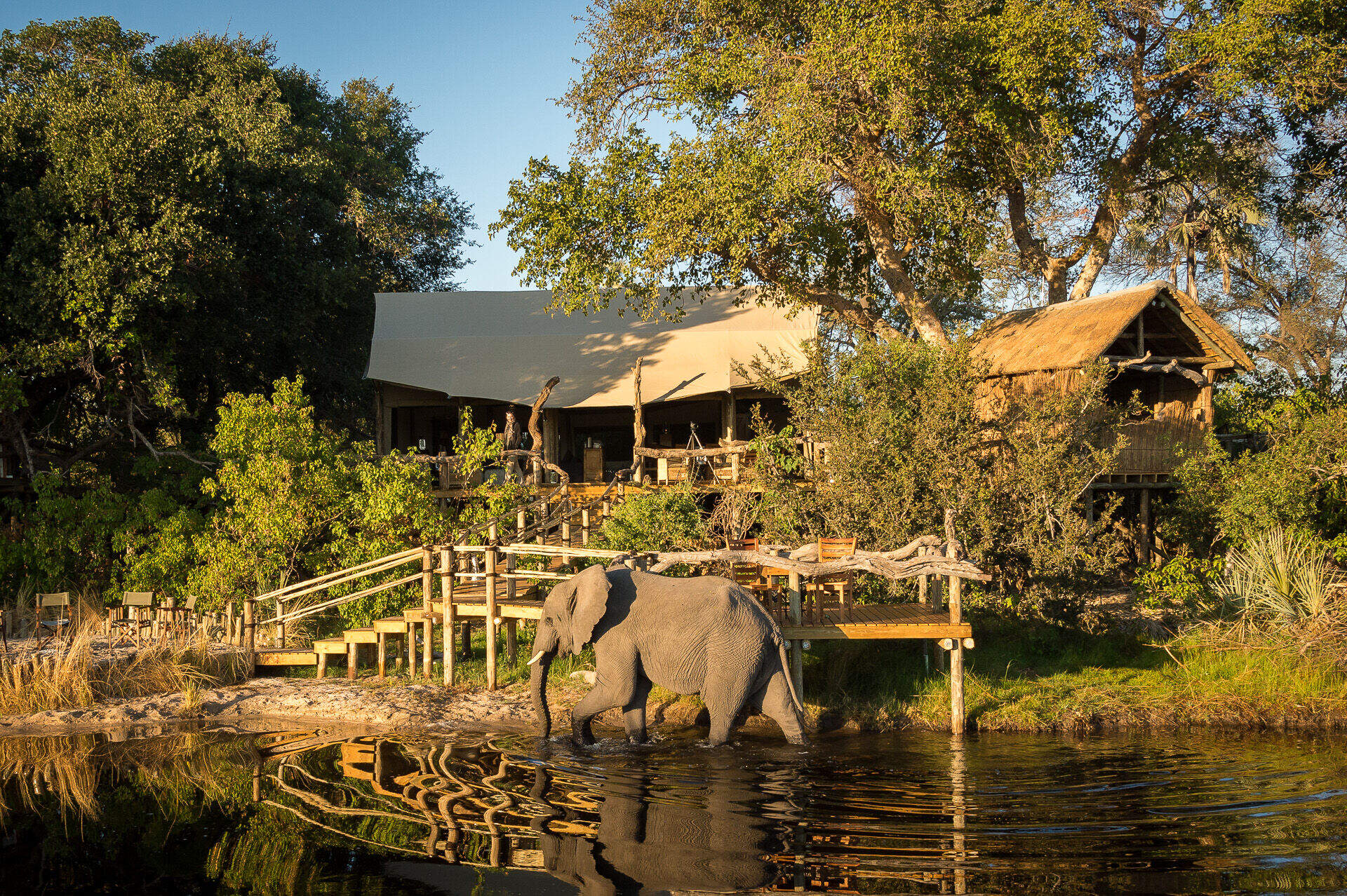
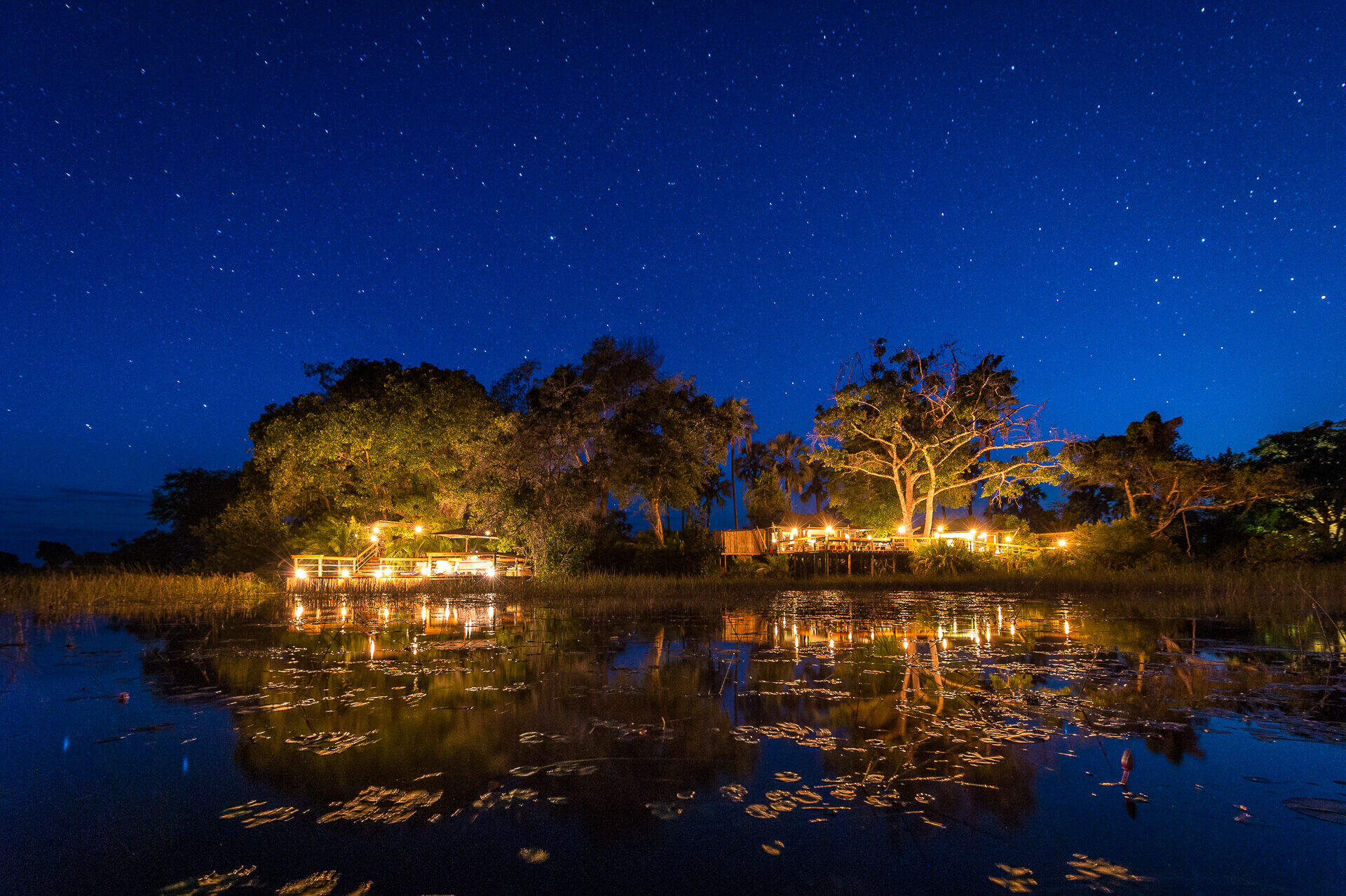
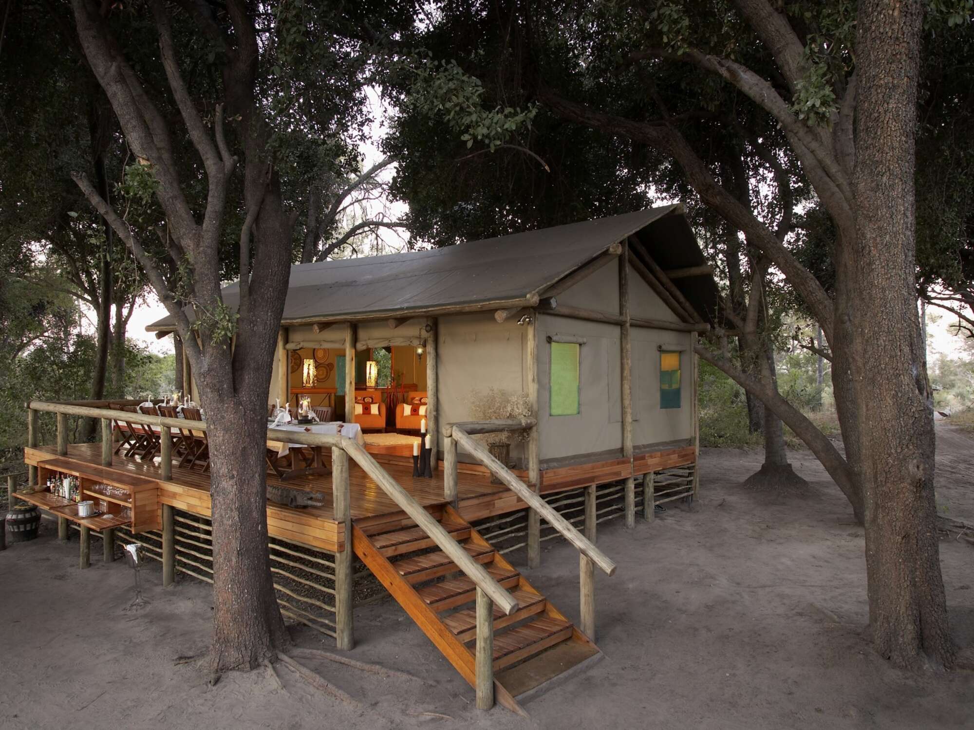
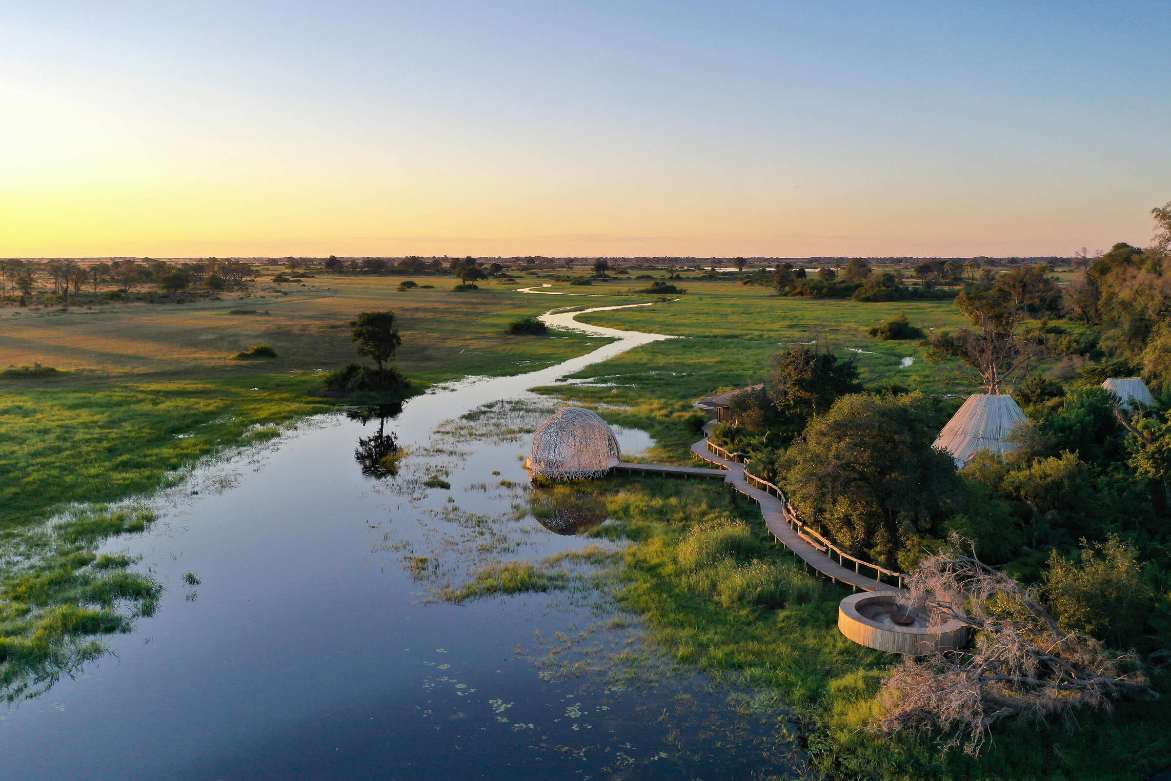
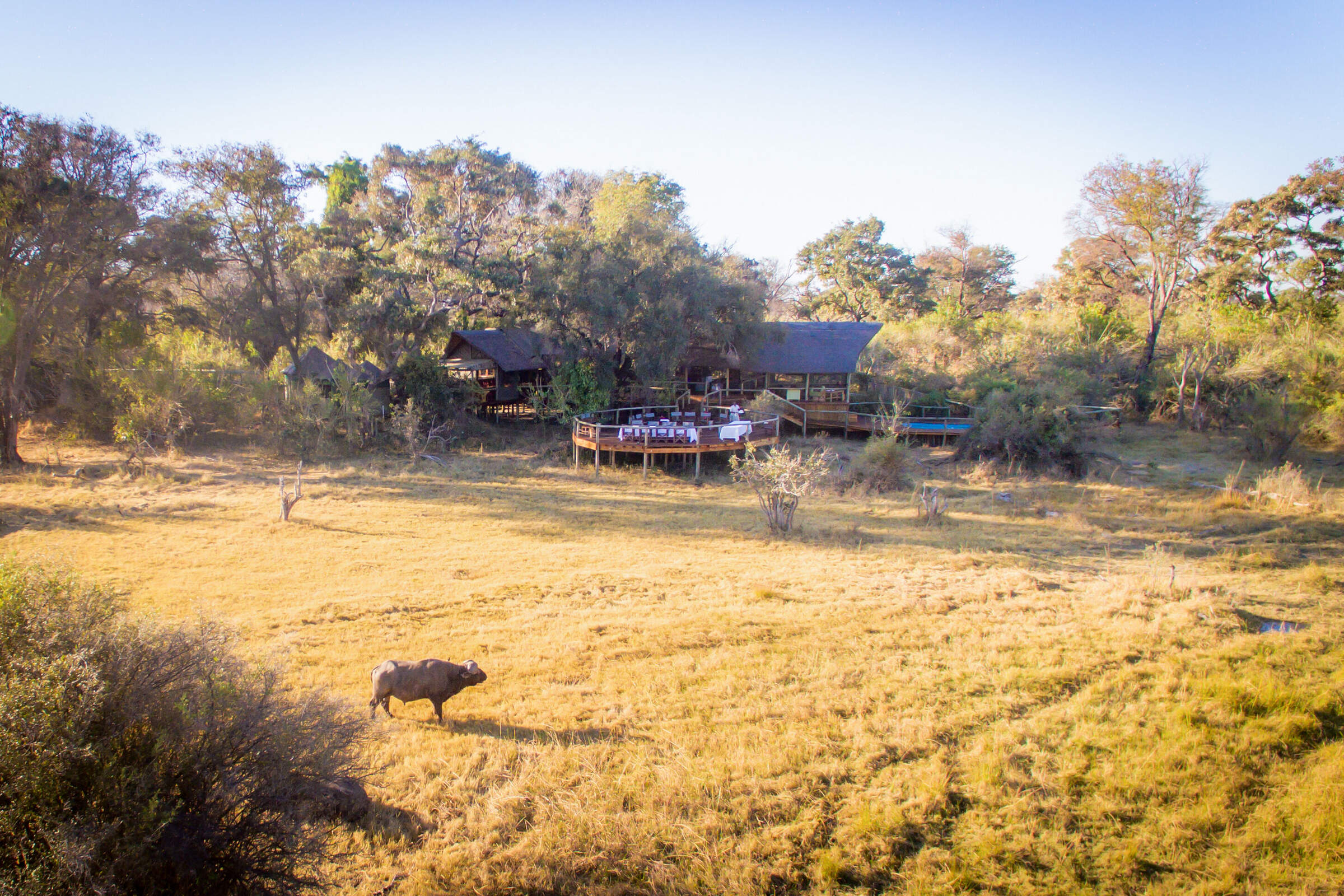
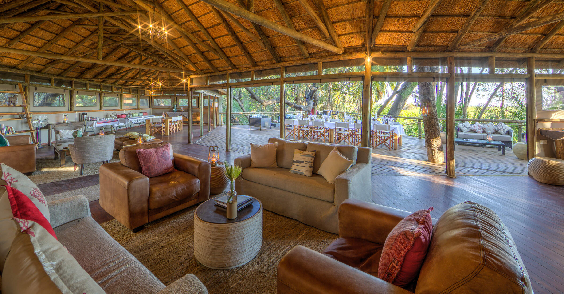
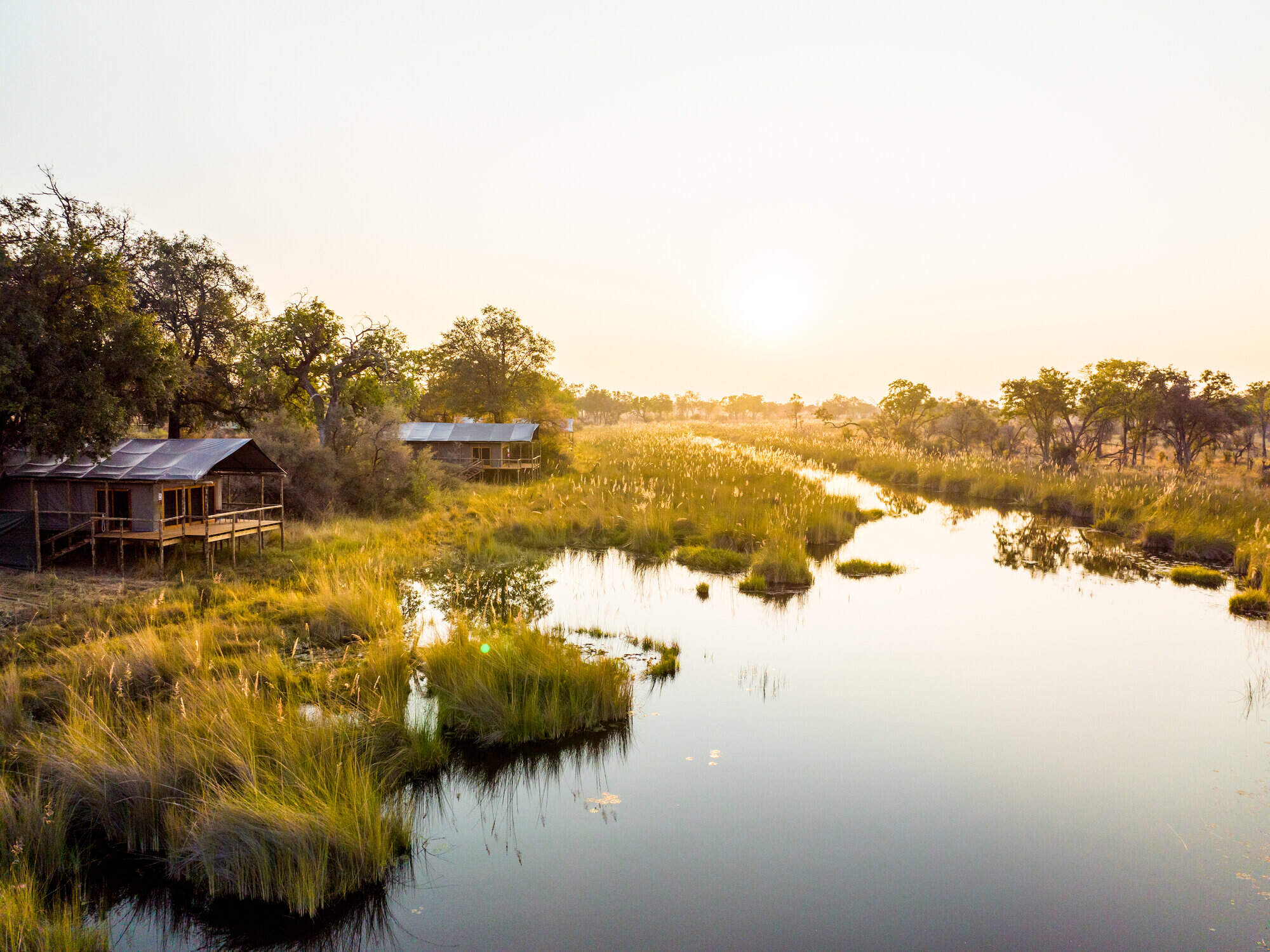
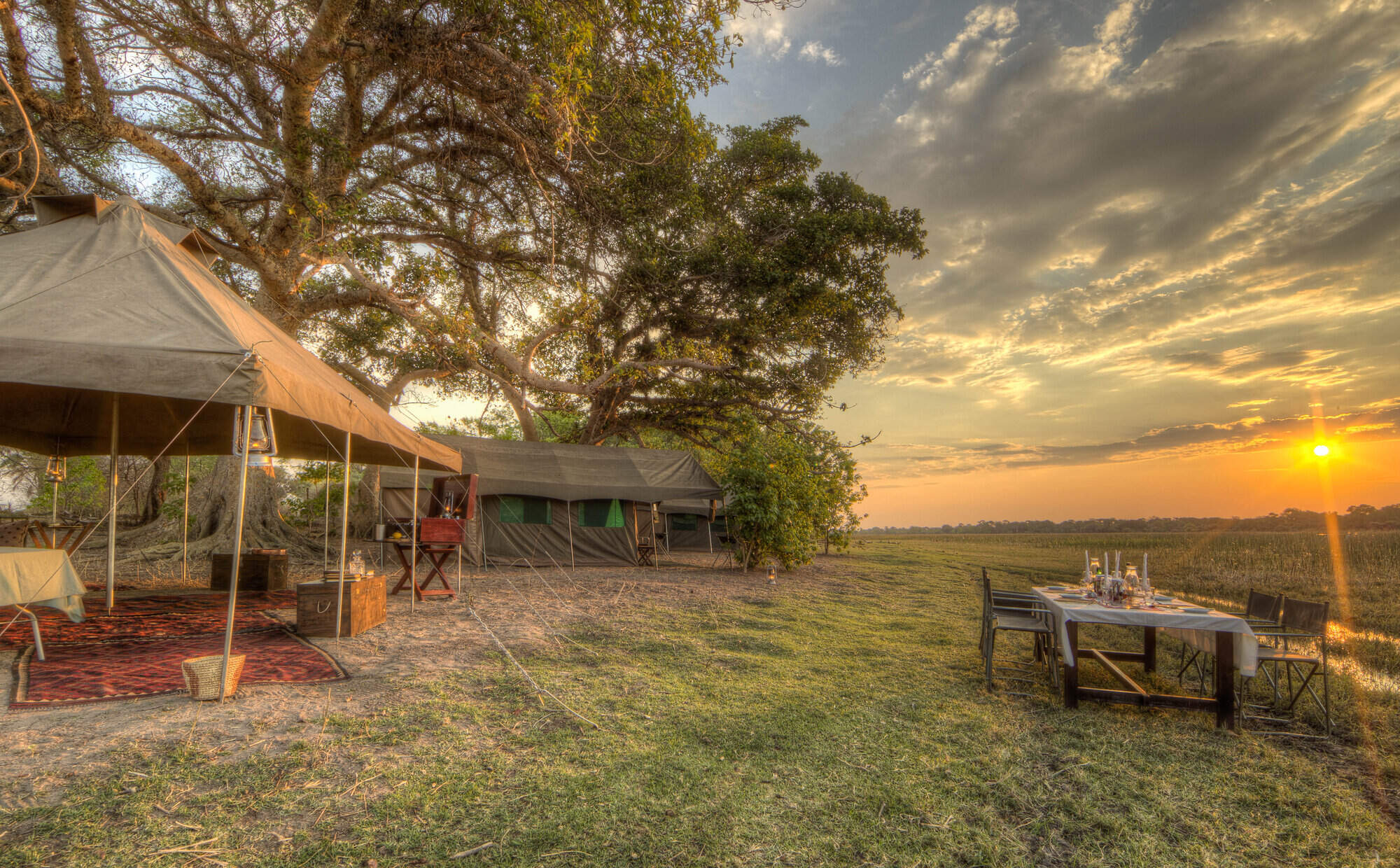
Where to stay in Okavango Delta
Our suggestions for safari camps in Okavango Delta Safari Reserves

Kwara Camp
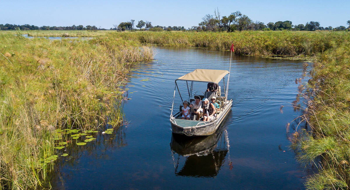
Kwara Camp's private reserve boasts land and water activities year round, with excellent game-viewing opportunities and access to permanent channels of the north-east Okavango Delta.

Little Vumbura
On a secluded island within a private reserve, Little Vumbura combines superb game viewing with a broad diversity of habitats in a truly picturesque setting.
Shinde Camp
With experienced staff and a wealth of activities, Shinde offers a traditional safari in an exceptionally varied and wildlife-rich environment.

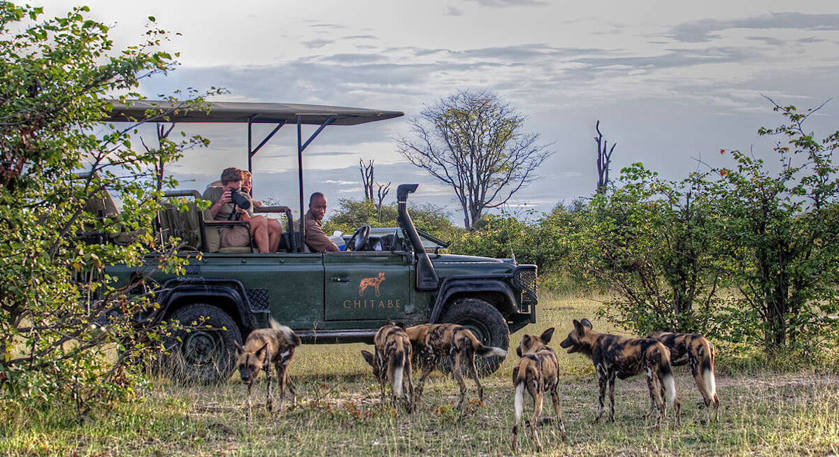
Chitabe Lediba
Chitabe Lediba, in Botswana's southern Okavango Delta, is a small family friendly safari camp; it offers great dry-land safaris and in our experience consistently delivers good game sightings.

Splash Camp
Set in the Kwara Reserve, offering superb wildlife viewing year-round, Splash offers both land and water activities led by guides with a particular knack for tracking big game.
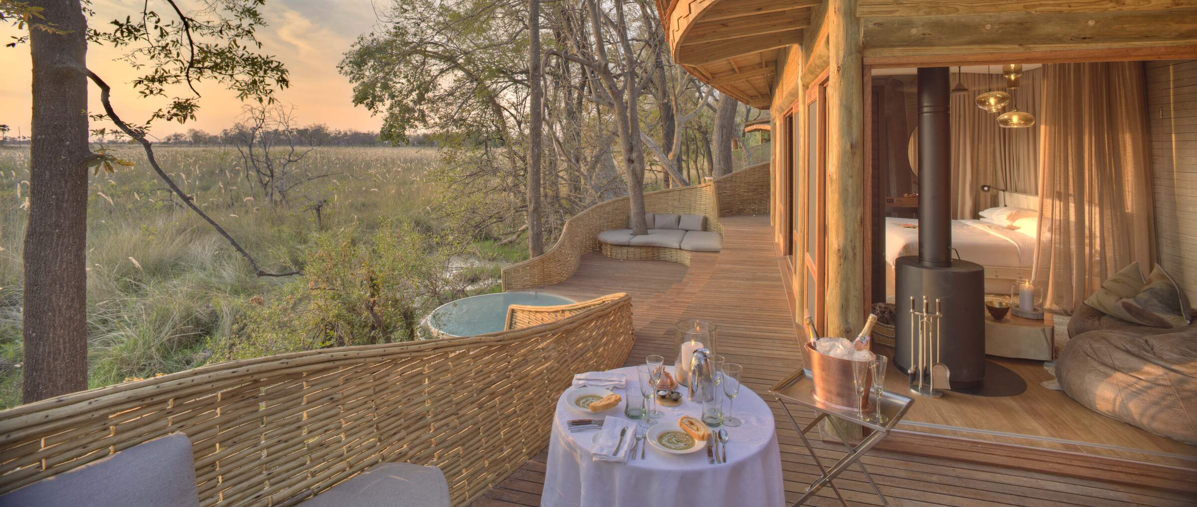
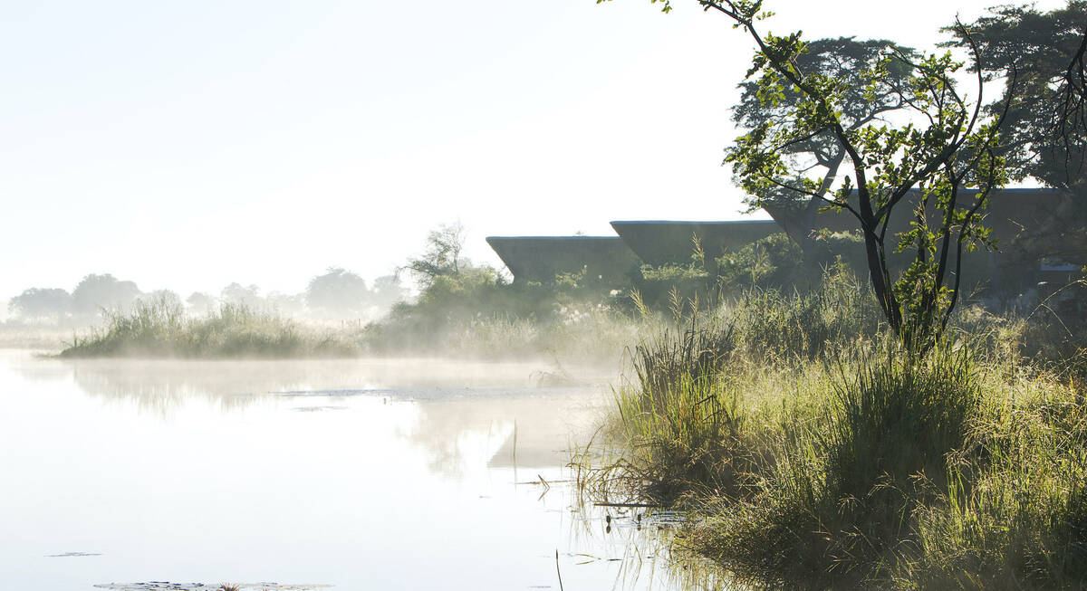
Sandibe Safari Lodge
The luxurious Sandibe Okavango Safari Lodge lies in a private concession in the heart of the Okavango Delta, beside Moremi Game Reserve, with superb big-game viewing.

Kanana
In a beautiful part of the Delta, Kanana focuses on fantastic water activities and birding – including exclusive access to an impressive heronry.
Chitabe Camp
In the southern Okavango Delta, the excellent Chitabe Camp concentrates on dry-land safaris in an area that we've found particularly good for wild dog sightings.

Shinde Footsteps
Small and very rustic, Footsteps across the Delta focuses on walking safaris; it also runs a special children’s programme so is particularly suitable for families.
Gomoti Plains Camp
Overlooking a tributary of the Gomoti River, Gomoti Plains Camp is a classically designed camp with very comfortable tents in a good game-viewing area.

Tubu Tree Camp
A traditional tented camp with a distinctive tree-house feel, Tubu Tree offers some of the best game viewing in the Jao Reserve.
Nxabega Tented Camp
Nxabega offers a selection of both land- and water-based activities, plus very good guiding, food and service, but game viewing can be somewhat erratic.

Vumbura Plains
Indulgently stylish and luxurious, Vumbura Plains offers superb game viewing and birding on an exceptionally varied private reserve.
Jacana Camp
Jacana Camp is a small safari camp with an informal island feel; it is ideal for water-based activities in the Delta and offers excellent birdwatching.
Kwetsani Camp
Deep in the Delta, overlooking a floodplain, Kwetsani Camp is a small, high-end camp with good access to areas for land and water-based activities.
Mapula Lodge
For an affordable yet varied safari encompassing a range of eco-systems, the traditional Mapula Lodge takes a lot of beating.

Duba Plains Camp
Duba Plains Camp is a traditional safari camp, best known for the thrilling lion and buffalo interaction that is often found here in broad daylight.
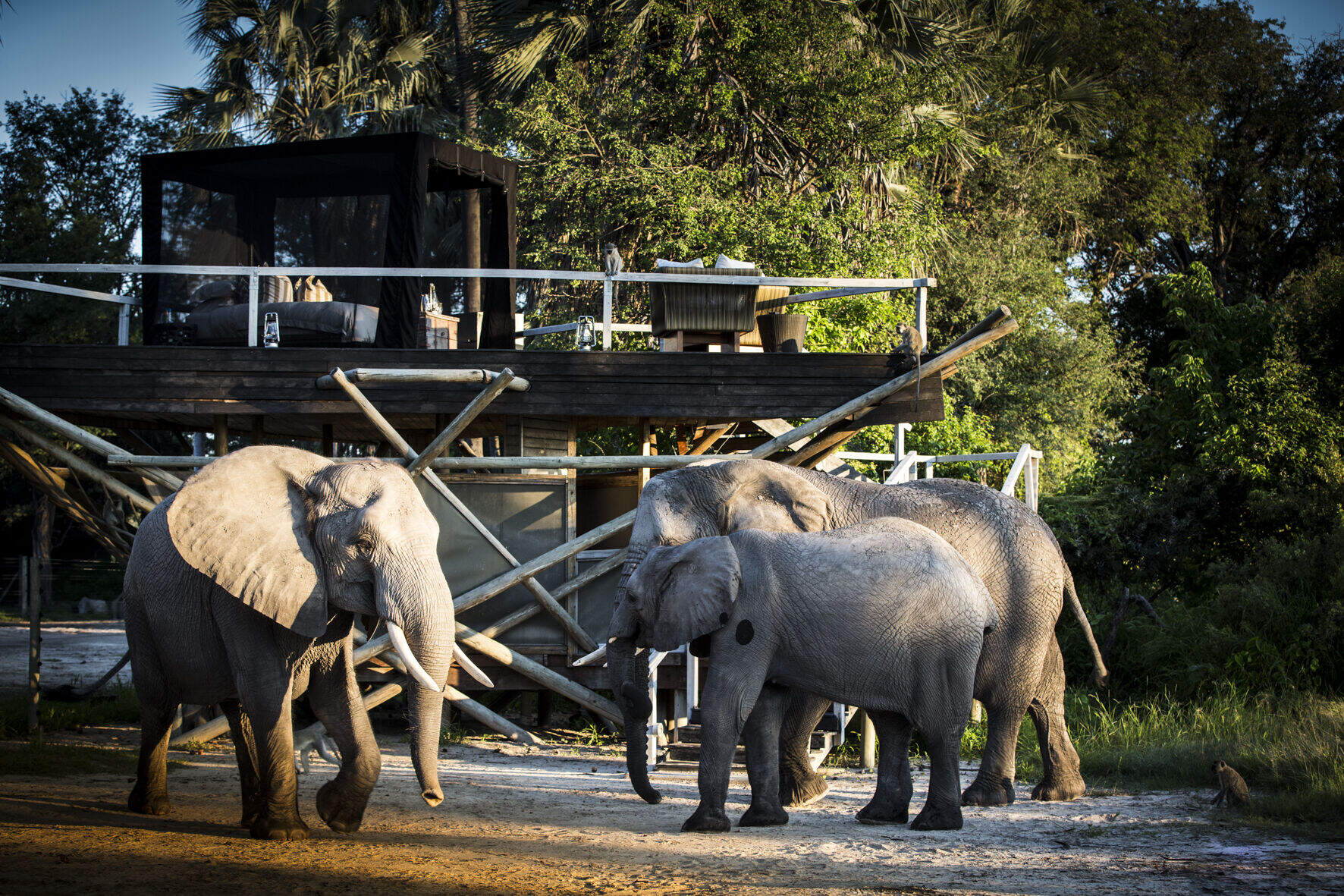
Baines' Camp
Baines' Camp is a well-run, intimate camp in a pretty part of the Okavango, offering a range of activities and the option to spend a morning walking with elephants.
Stanley's Camp
In a private concession south of Moremi Game Reserve, Stanley's Camp offers 4WD game drives, seasonal water activities and a superb elephant interaction.

Duba Explorers Camp
Intimate and elegant, Duba Explorers Camp promises a firm safari focus in a remote corner of the Okavango, led by a team who value the highest guiding and hosting standards.
Little Tubu
Little Tubu is a new, traditional camp with just three tented chalets and a distinctive tree-house feel. The areas around it can be explored by water and land-based activities year round.

Pom Pom Camp
Pom Pom Camp lies amidst stunning Okavango Delta scenery. Come for idyllic mokoro trips and great birdwatching, and accept that big-game sightings here are a bonus.
Pelo Camp
In a pristine wilderness environment deep in the Okavango Delta, the seasonal Pelo Camp is tented yet comfortable, with activities focusing on excursions by mokoro.

Mma Dinare
Beautifully located in a private concession overlooking the Gomoti River, the traditional Mma Dinare is very well-priced for the Okavango Delta.
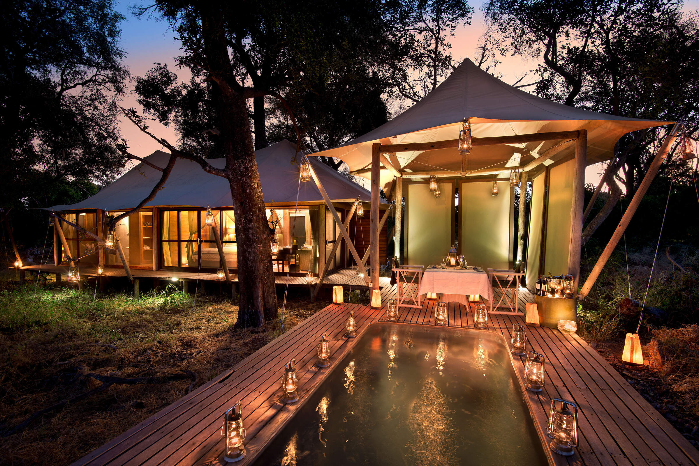
Xaranna
Xaranna is a plush tented camp amongst the idyllic waterways and islands of the Delta. Each air-conditioned tent has a plunge pool. Water activities and pampering are the focus here.
Seba Camp
Seba Camp is a luxury camp in a lovely location that offers the full range of water and land safari activities, depending on the time of year. This camp is particularly suitable for families.
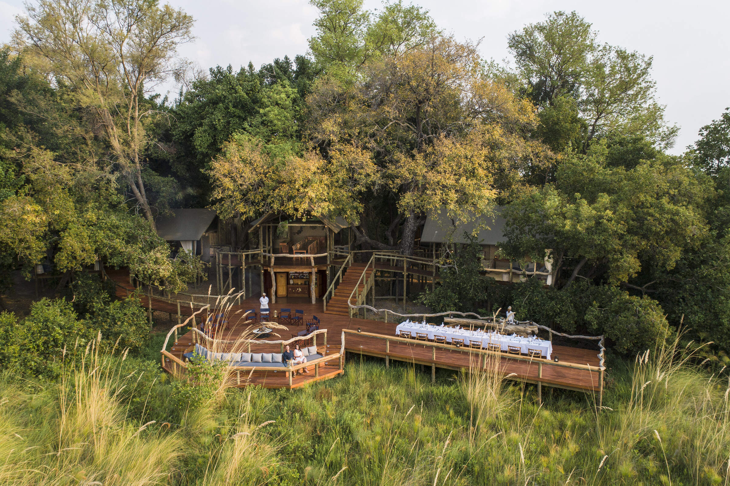
Jao Camp
In a beautiful area with fantastic water activities, Jao combines an idyllic location with high levels of luxury and service, and a top-end spa.
Abu Camp
Abu Camp is an exclusive safari camp on the western side of the Botswana's Okavango Delta - offering superb elephant-back safaris and opportunities to walk with them too.
Rra Dinare
Located in a private concession in the southern reaches of the Okavango Delta, overlooking the Gomoti River, Rra Dinare is a traditional-style, well-priced camp.
Setari Camp
Setari Camp stands on an island dotted with palm trees, close to the base of the Okavango’s ‘Panhandle"
4 Rivers
4 Rivers is a new camp in a previously in accessible area of the excellent Kwara concession.

Duke’s Camp
On a remote island within a vast private concession, the eclectic Duke’s Camp is nestled among mature trees overlooking wildlife-rich plains of the Okavango.

Kiri Camp
Kiri Camp is the latest Okavango offering from the excellent team behind Machaba. In an exciting new location in the heart of the Delta we cannot wait to visit this new camp.
Okavango Walking Safari
The Okavango Delta Walking Safari camps in a secluded Okavango Delta Reserve where there are few roads; the ideal location for a walking trail led by an expert guide.
Karangoma
New for 2024, Karangoma is a classic, tented camp offering walking, canoeing and game drives, in partnership with the local Bukakwe San clan.

Atzaro Okavango
With a high level of tasteful luxury promised at Atzaro, we think it will be best suited to travellers seeking a touch of pampering alongside their safari.

Mokolwane
Deep in the heart of the Okavango, Mokolwane promises adventure in a largely untouched area.

Eagle Island Lodge
Eagle Island Lodge is a luxurious camp with international-style facilities including air conditioning and intercom in each room; offering water based activities in the Okavango Delta.

North Island
Deep in quintessentially 'Okavango' territory, between deep-water and dry-land habitats, promises to be a great combination from a team who know all about the best in the Okavango.

Sitatunga Island Camp
Sitatunga Private Island: in this pristine corner of the Okavango Delta, even the name is evocative.
Qorokwe Camp
Luxurious and contemporary, the relatively new Qorokwe Camp is a gem in the Okavango Delta, offering land- and occasionally water-based activities in a prime wildlife area.
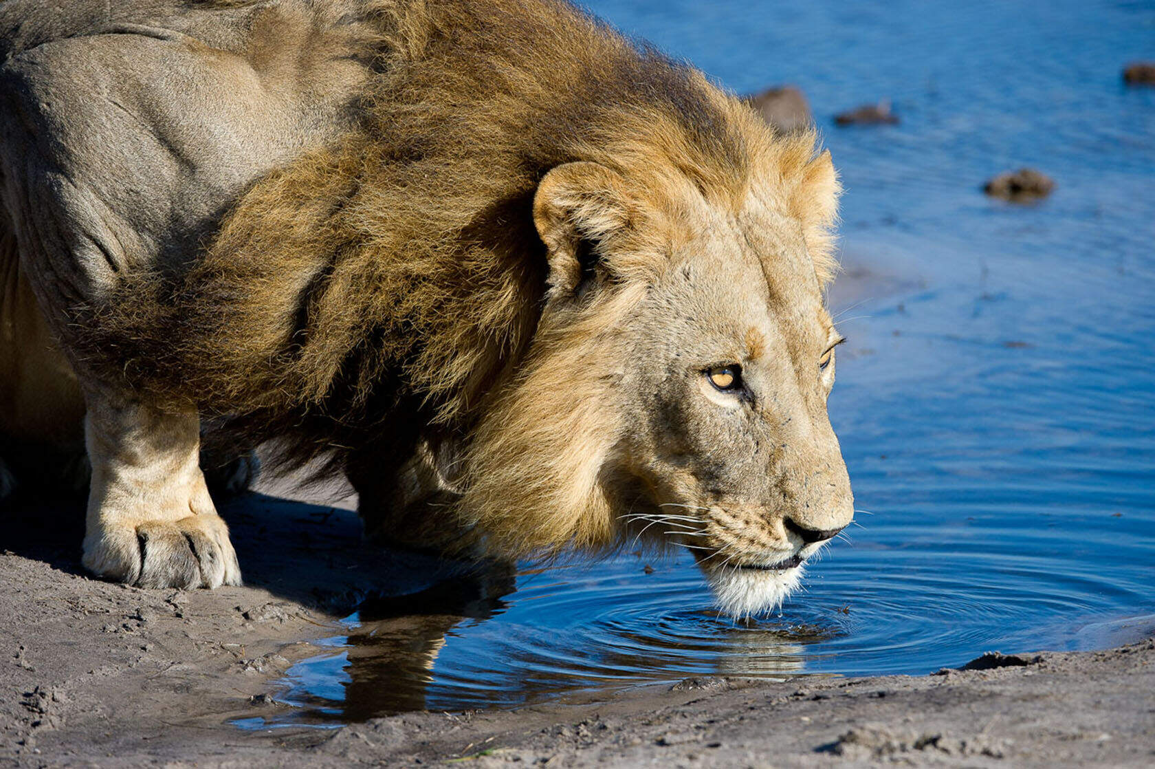
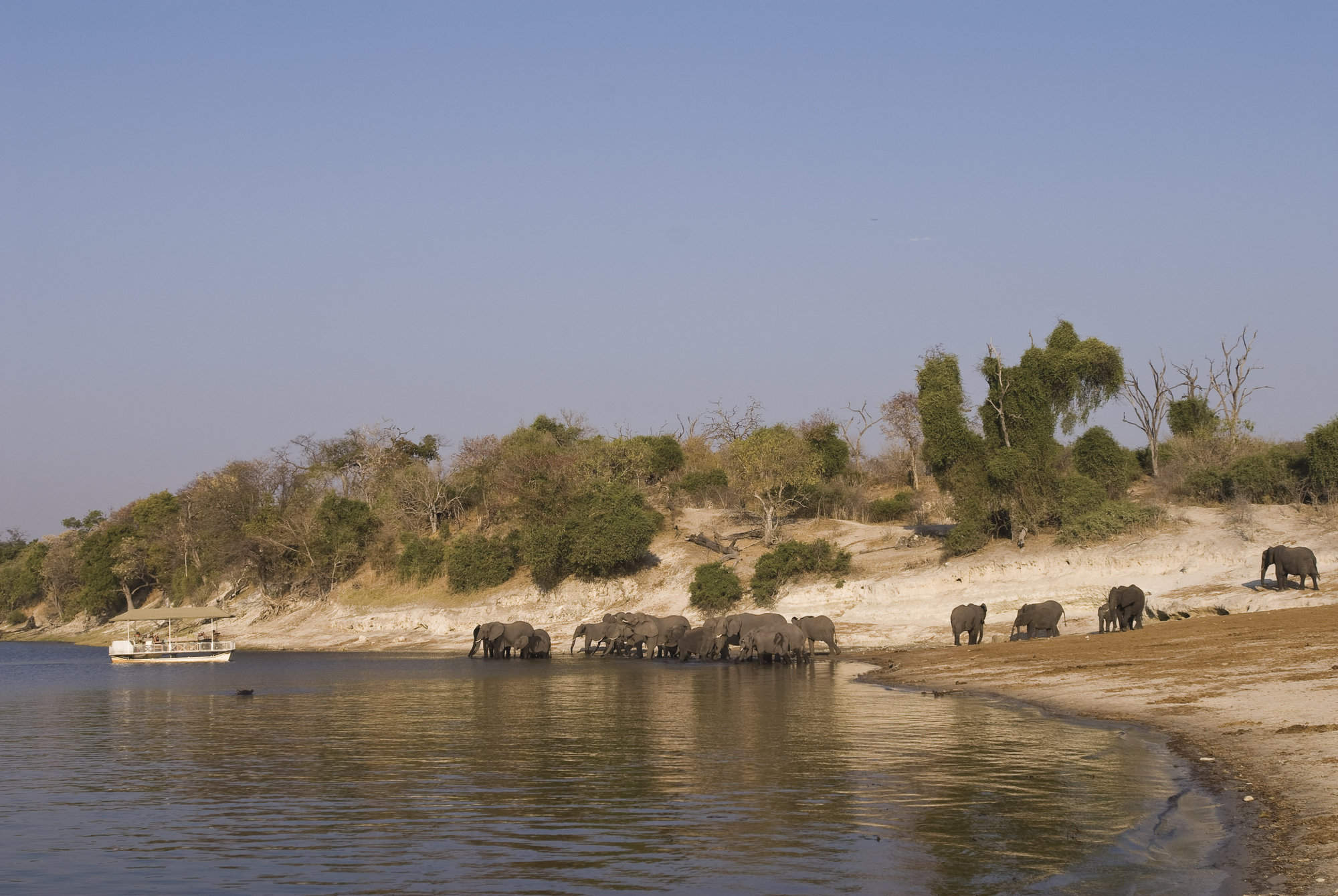
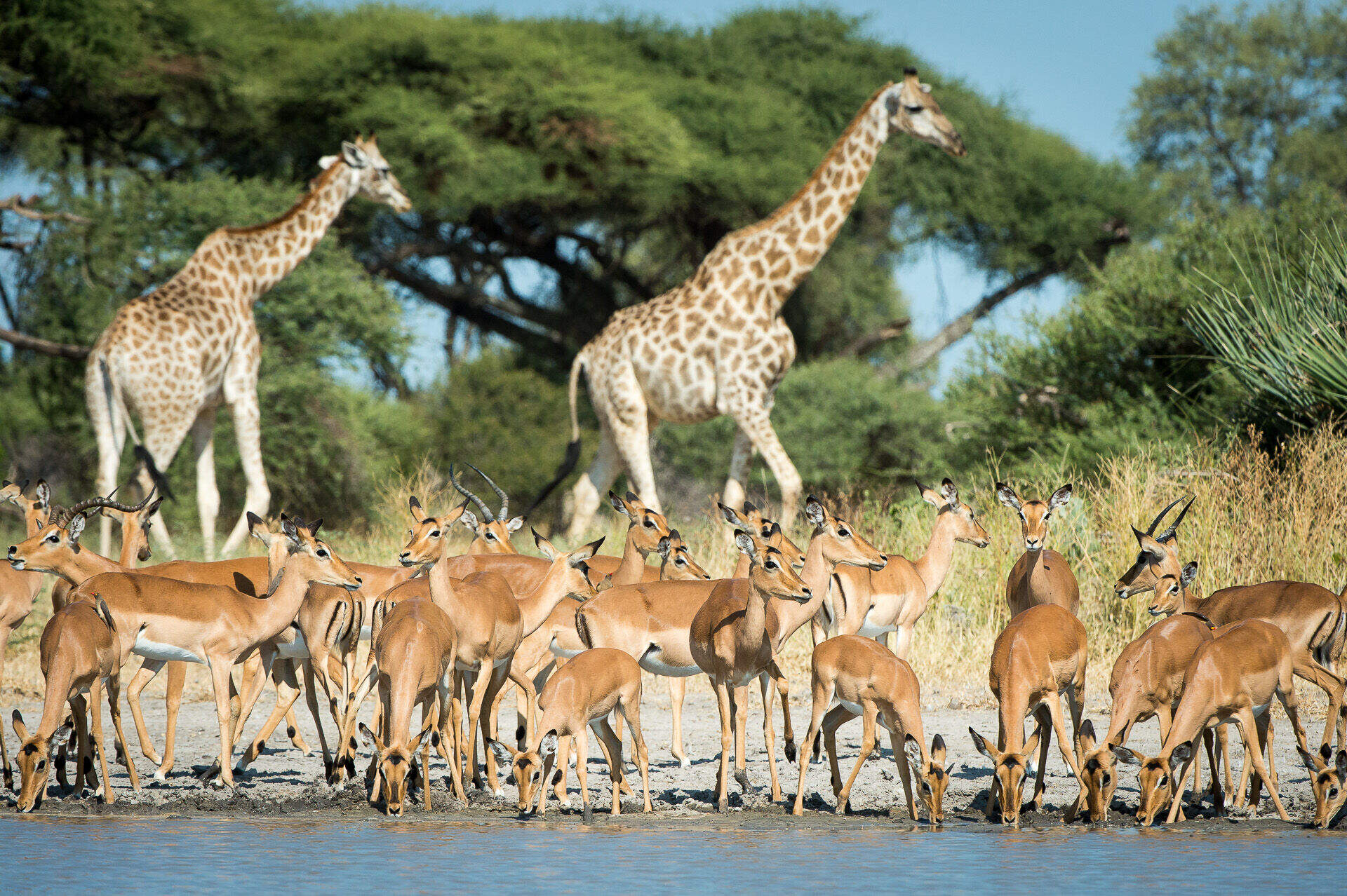
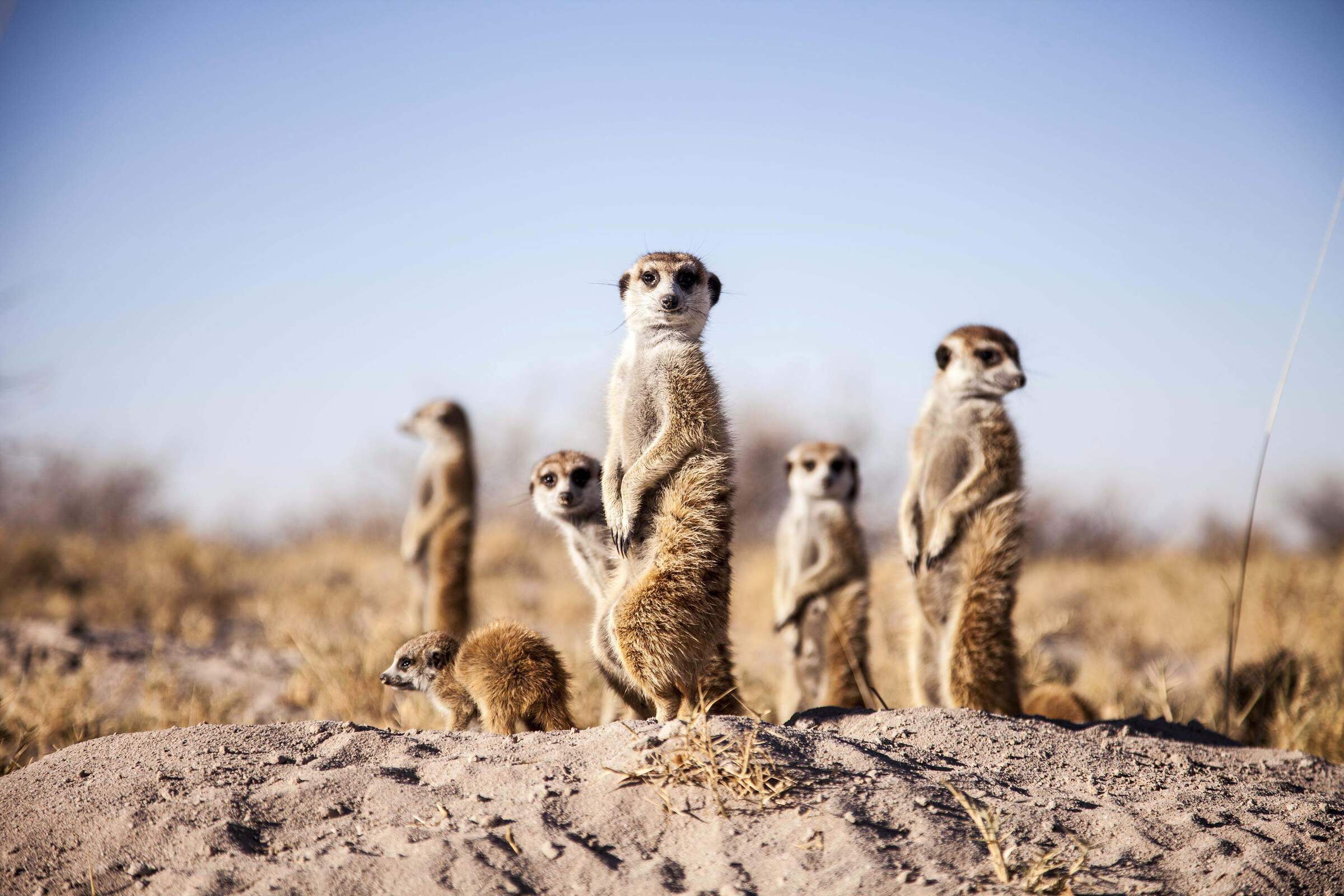
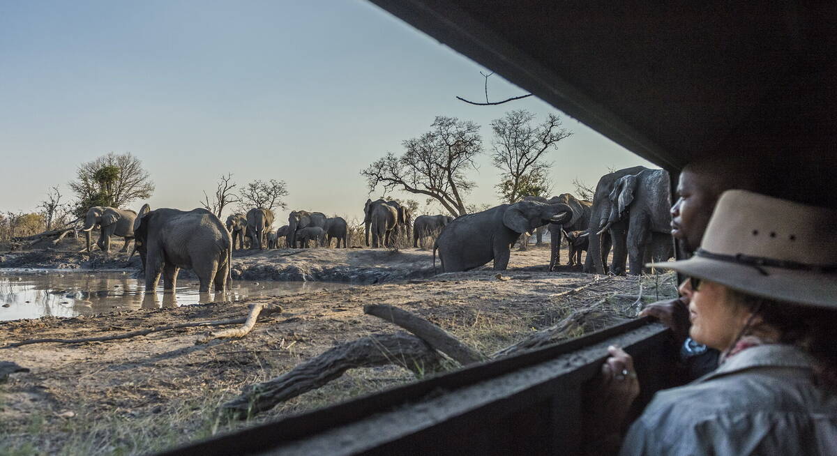
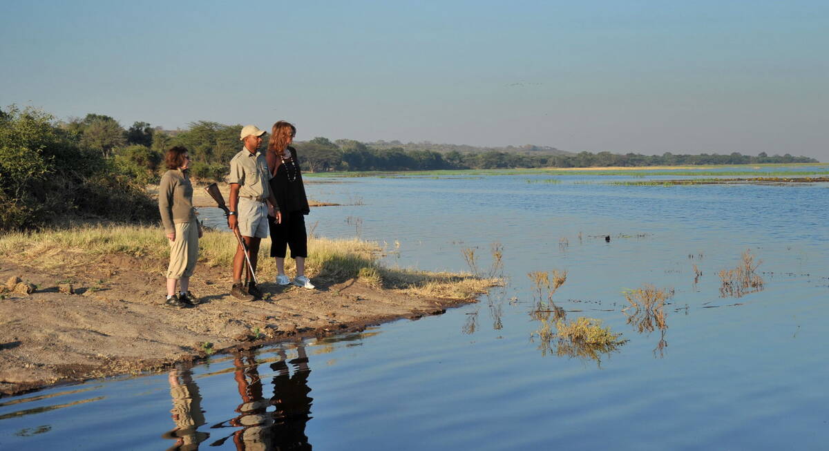
Our travellers’ wildlife sightings in Okavango Delta
This is their success for sightings in Okavango Delta Safari Reserves.
Click on a species for more detail. How we work this out.

99% success

98% success

98% success

98% success

92% success

92% success

84% success

70% success

64% success

59% success

55% success

28% success

24% success

20% success

18% success

8% success

2% success

2% success

1% success

0% success