Map of Arusha
Arusha reference map
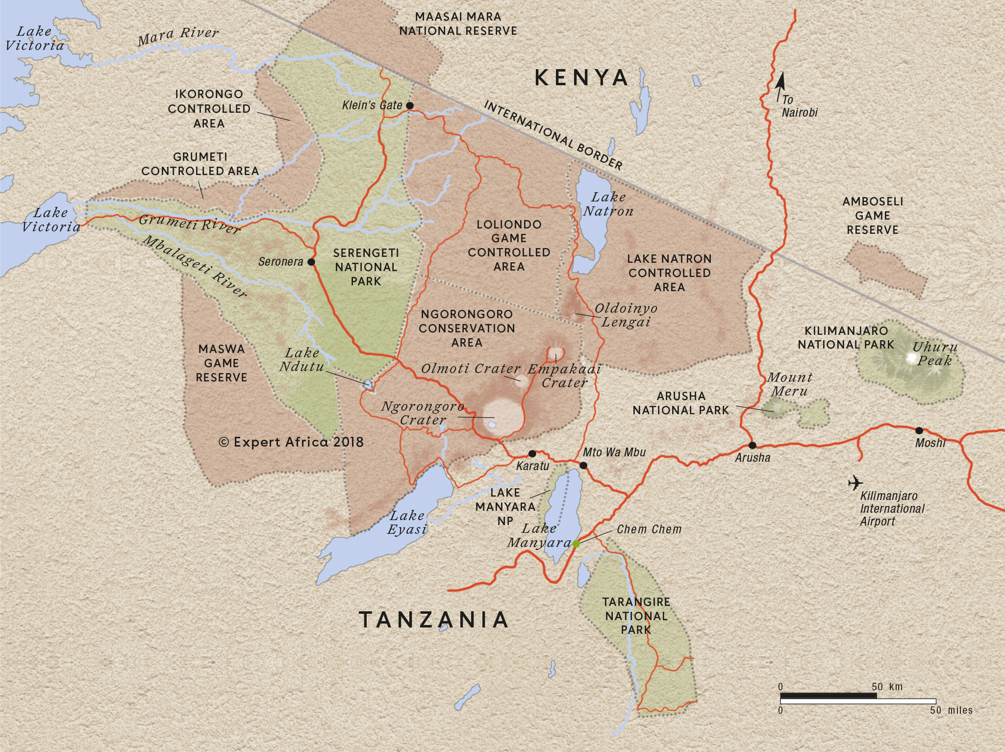
Google map of Arusha
Trips visiting Arusha
Just ideas, we'll always tailor-make a trip for you
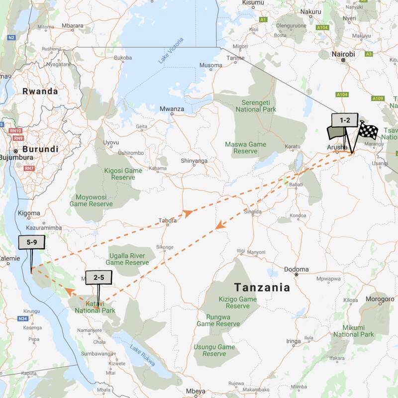
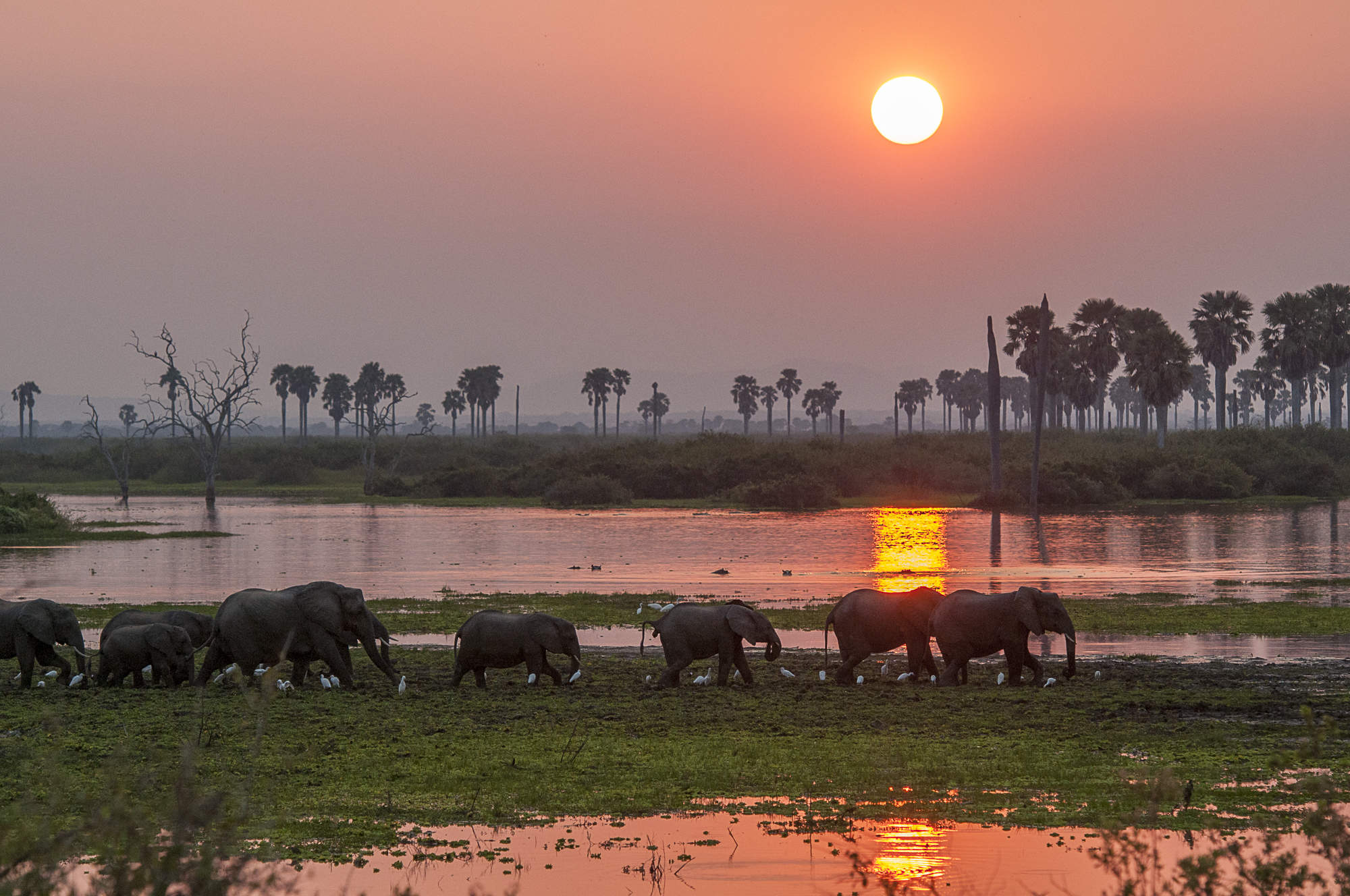
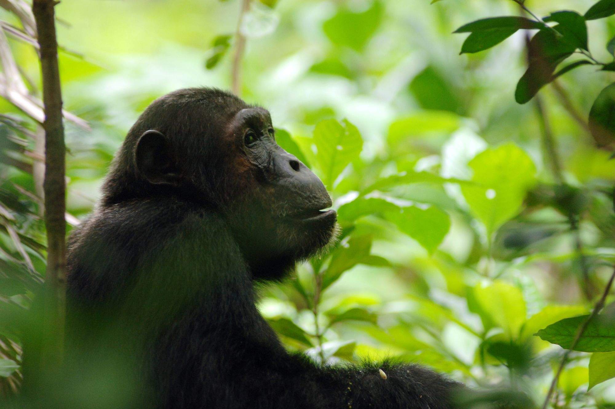
Chimpanzee Fly-in Safari
8 days • 3 locations • 1 country
KILIMANJARO AIRPORT TO KILIMANJARO AIRPORT
Combining two of the remotest parks in Tanzania, this safari can deliver extraordinary wildlife viewing in Katavi, and East Africa's best chimp treks, on the shores of Lake Tanganyika.
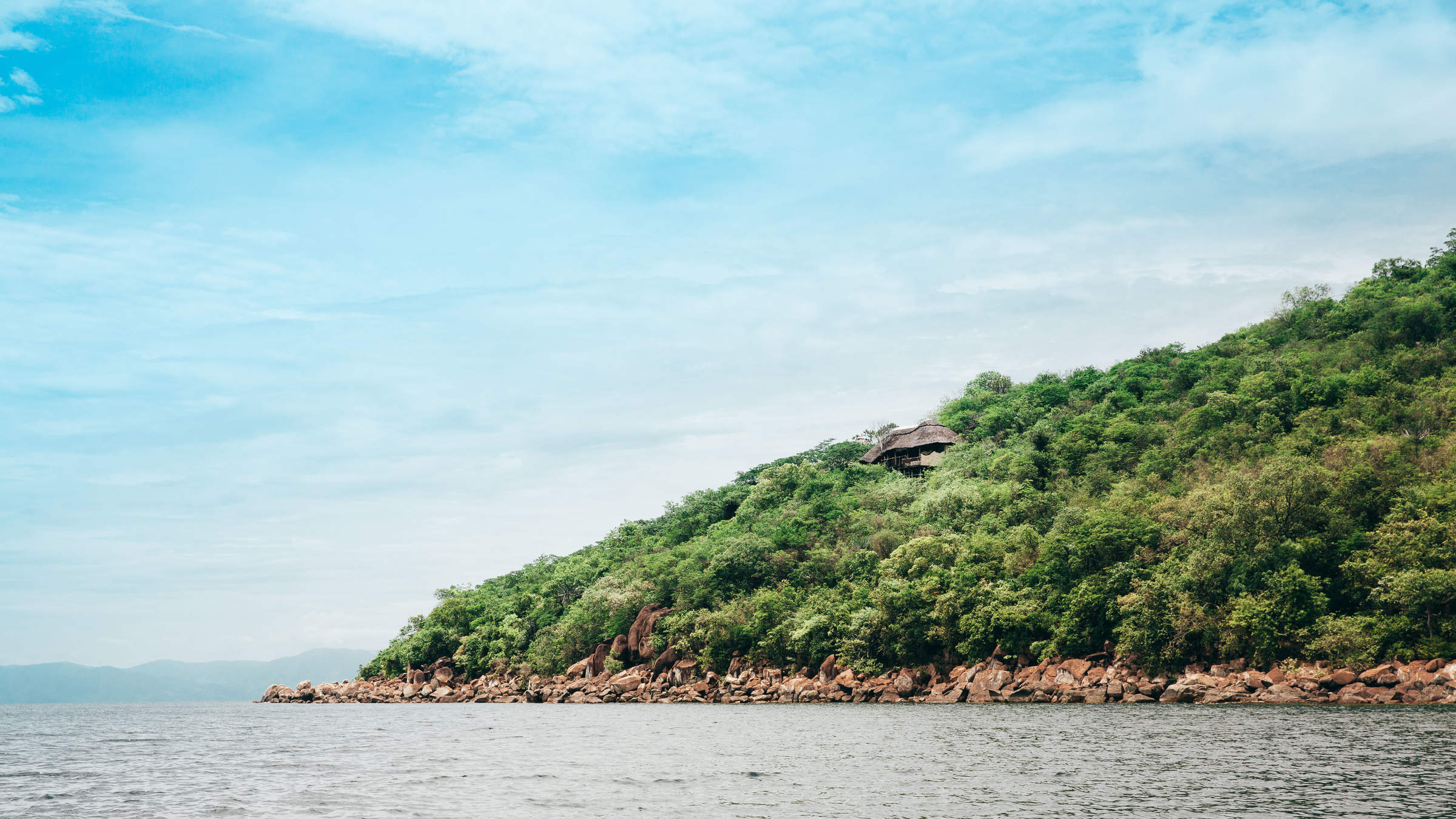
Visiting Mahale Mountains, Katavi and 1 other area
US$10,130 - US$14,810 per person

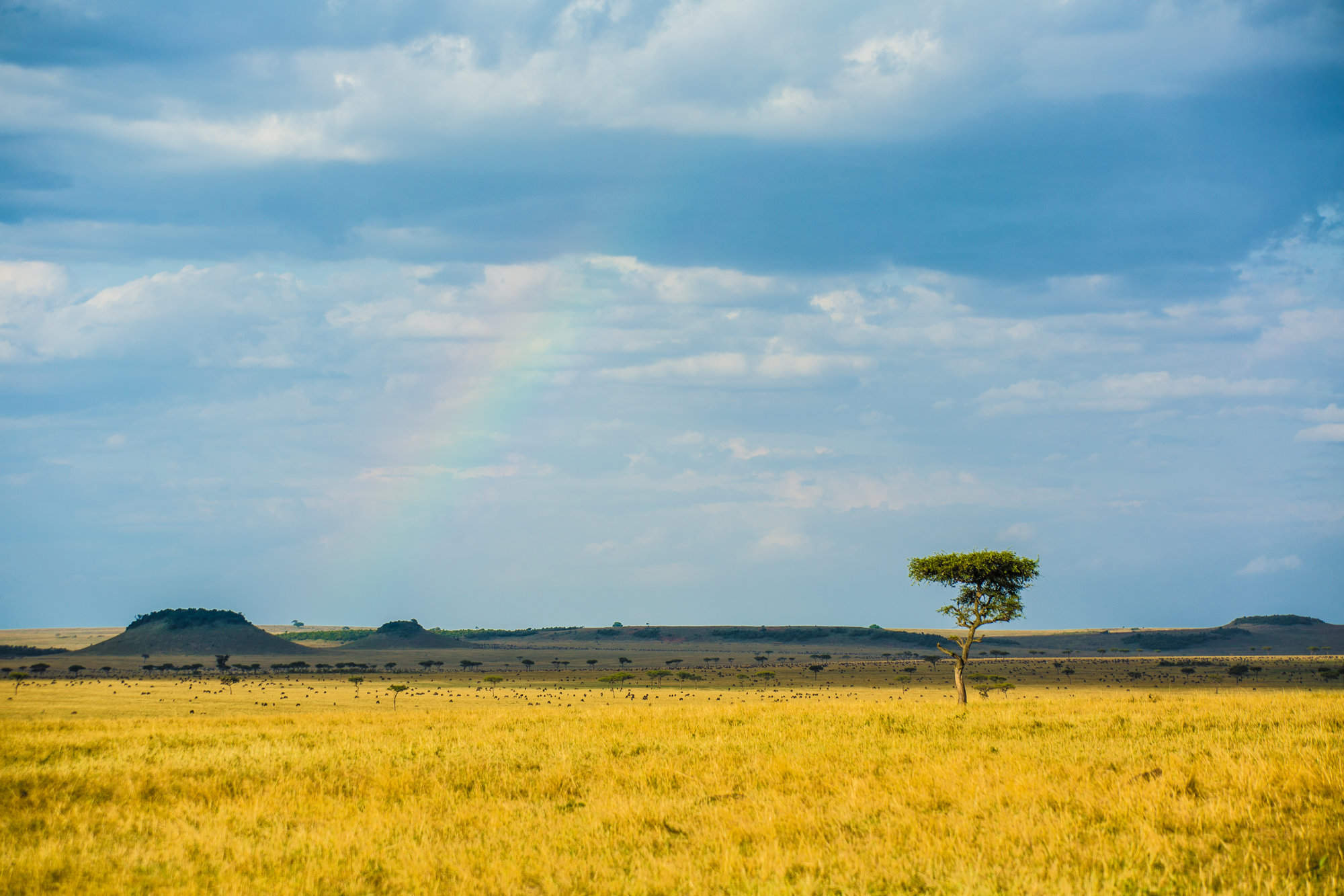
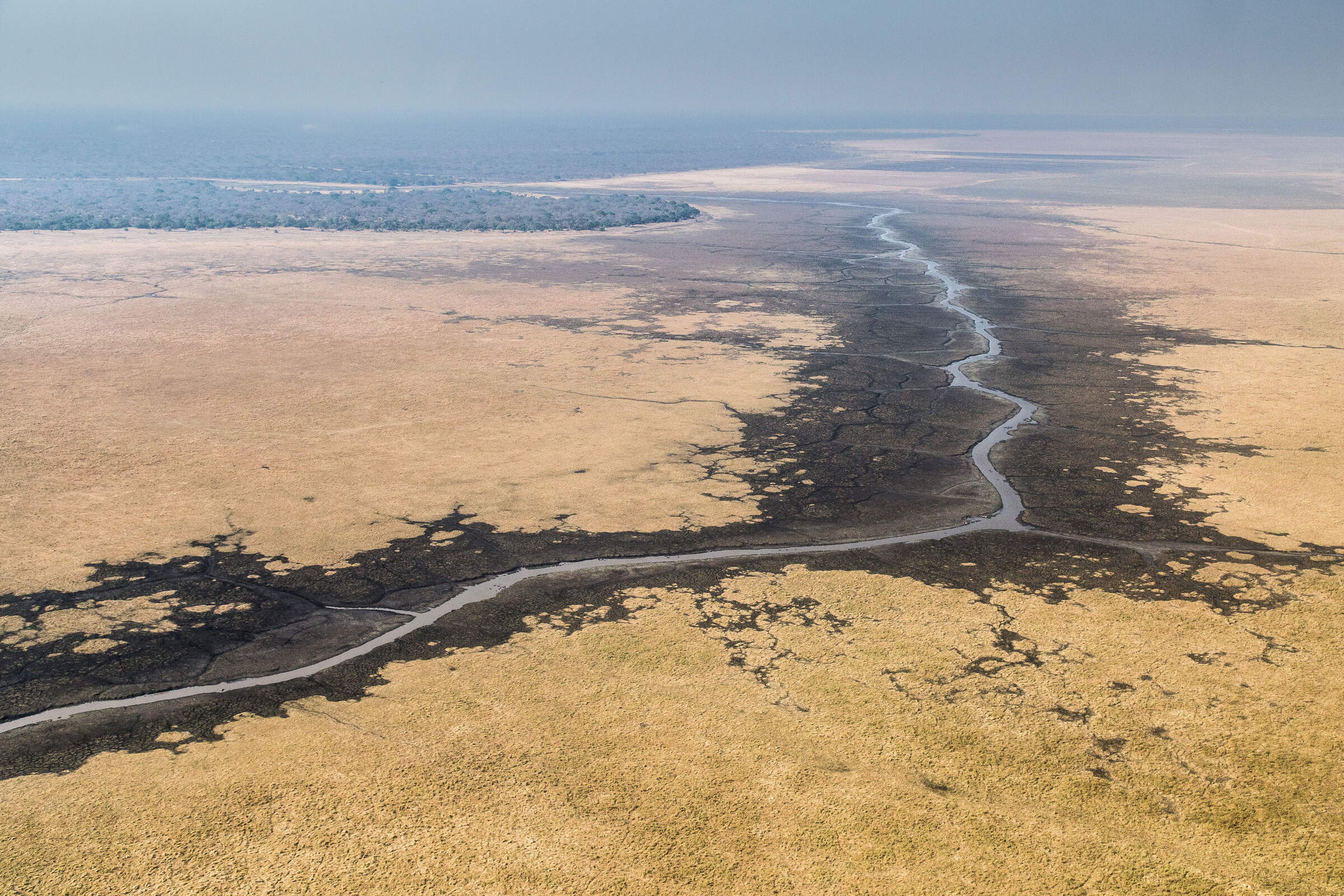
Secretary Bird Fly-in Safari
8 days • 4 locations • 1 country
KILIMANJARO AIRPORT TO KILIMANJARO AIRPORT
Chosen for comfort and relaxation as much as for its range of activities, this safari makes for a leisurely trip featuring stunning accommodation and swift access to many of northern Tanzania’s best wildlife regions.
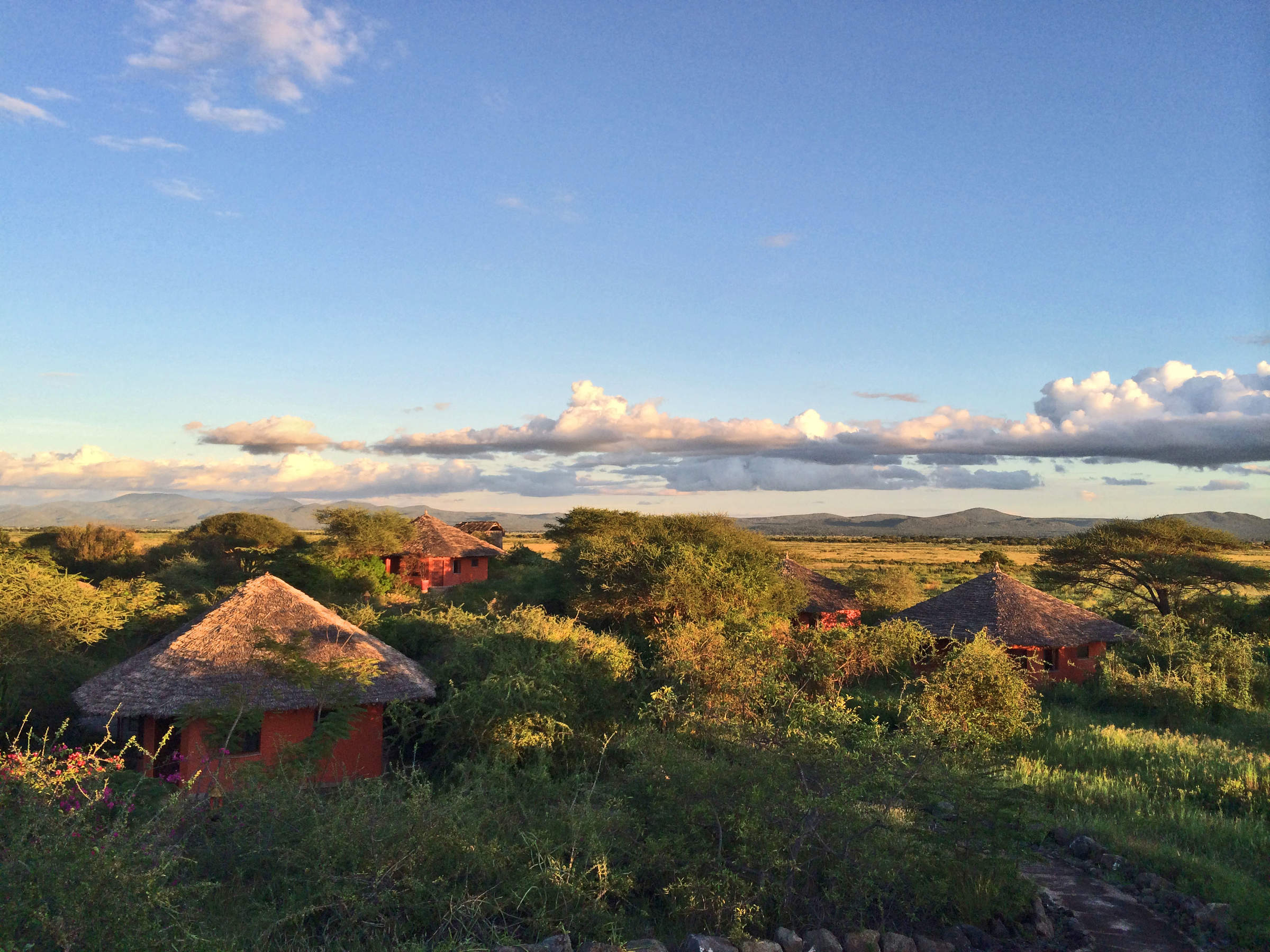
Visiting Ngorongoro Crater, Serengeti and 2 other areas
US$12,110 - US$16,740 per person

Where to stay in Arusha
Our suggestions for places to stay in Arusha

Rivertrees Country Inn
Set within lush grounds, the peaceful and relaxing Rivertrees lies between Arusha and Kilimanjaro Airport: ideal at the beginning or end of a safari.

Arusha Coffee Lodge
Arusha Coffee Lodge is a neat, comfortable lodge, right on the highway, close to Arusha Airport. It is a convenient stop for a night.

Onsea House
Onsea House is a small, family-run guesthouse on the outskirts of Arusha. The rooms are quite simple, but service and food here are good.

Airport Planet Lodge
Airport Planet Lodge is a new hotel located close to Kilimanjaro Airport, making it ideal for a short stay before or after your international flight.

Katambuga House
Katambuga House is a smart hotel on the western side of Arusha, an hour’s drive from Kilimanjaro Airport and 10 minutes from Arusha Airport.

Machweo
Machweo is a nine-room lodge on the outskirts of Arusha. The rooms are large and stylish, and the service and food here are very good.

Kia Lodge
Kia Lodge is a simple, country-club-style lodge situated close to the buildings and runway of Kilimanjaro International Airport.

Hatari Lodge
Hatari Lodge is designed around a bright, fun 1960s retro theme and is a relatively high-quality base to explore Arusha National Park.

Mount Meru Game Lodge
Mount Meru Game Lodge, near Arusha, is a good spot to stay en route to northern Tanzania's most famous safari areas.

Legendary Lodge
Legendary Lodge is boutique luxury lodge, perfect for an indulgent overnight stay at the start or end of your safari.

Arusha Serena Hotel
The Serena Arusha Hotel is a comfortable hotel close to Lake Duluti. It makes a good stopover before or after a safari in northern Tanzania.

Twiga Lodge
Twiga is a Tudor-style lodge with welcoming owners, country-style gardens and a viewing platform looking onto Arusha National Park.

Siringit
Siringit Kilimanjaro Golf Safari Retreat is a six-bedroom villa offering a luxury stay in complete privacy on a championship golf course.
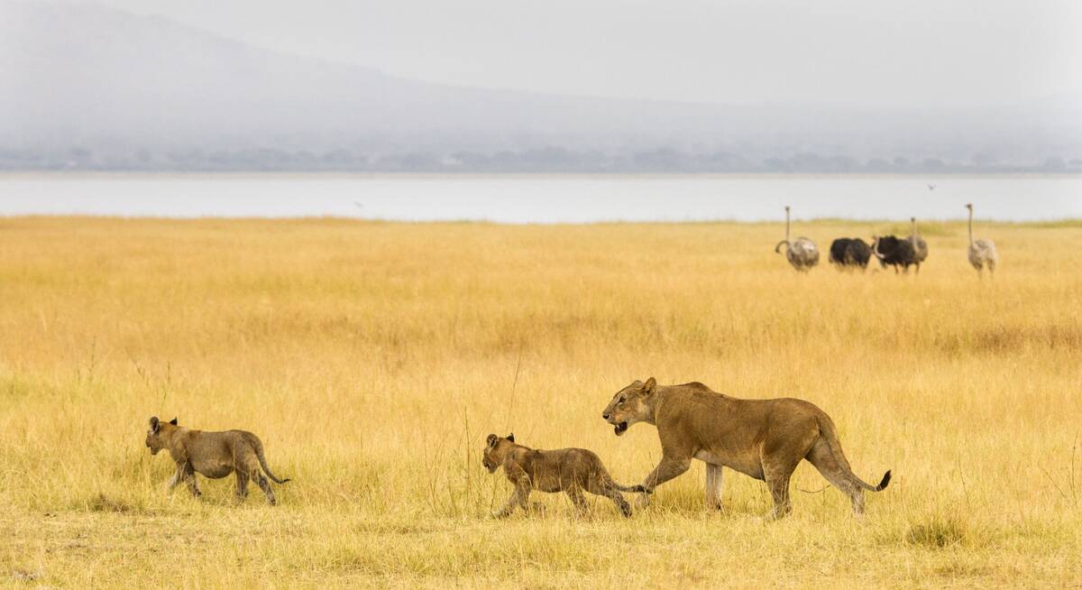
Our travellers’ wildlife sightings in Arusha
This is their success for sightings in Arusha.
Click on a species for more detail. How we work this out.

100% success

100% success

100% success

100% success

0% success

0% success

0% success

0% success

0% success

0% success

0% success

0% success

0% success