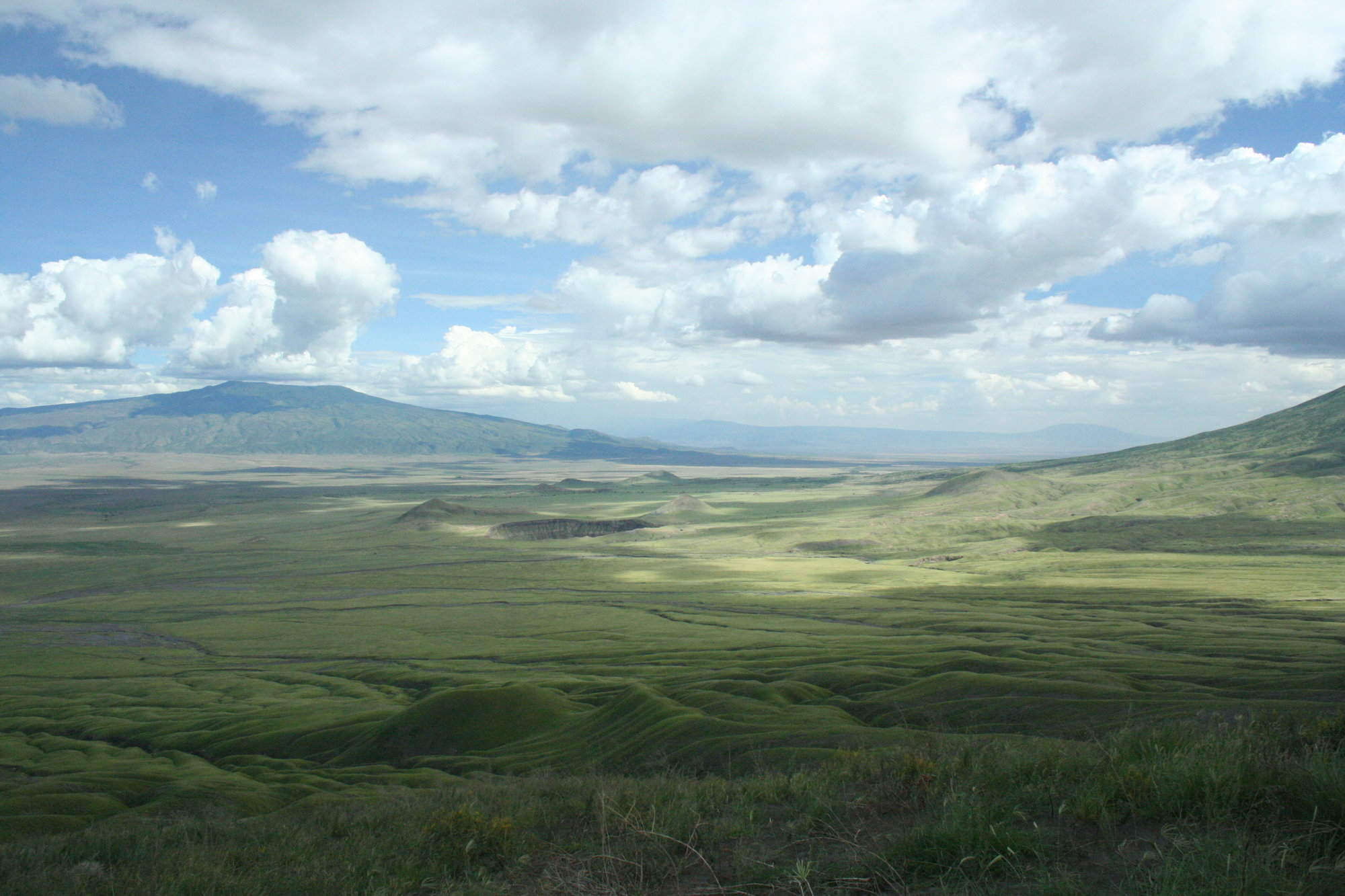
Map of Lake Manyara National Park
Lake Manyara National Park reference map

Google map of Lake Manyara
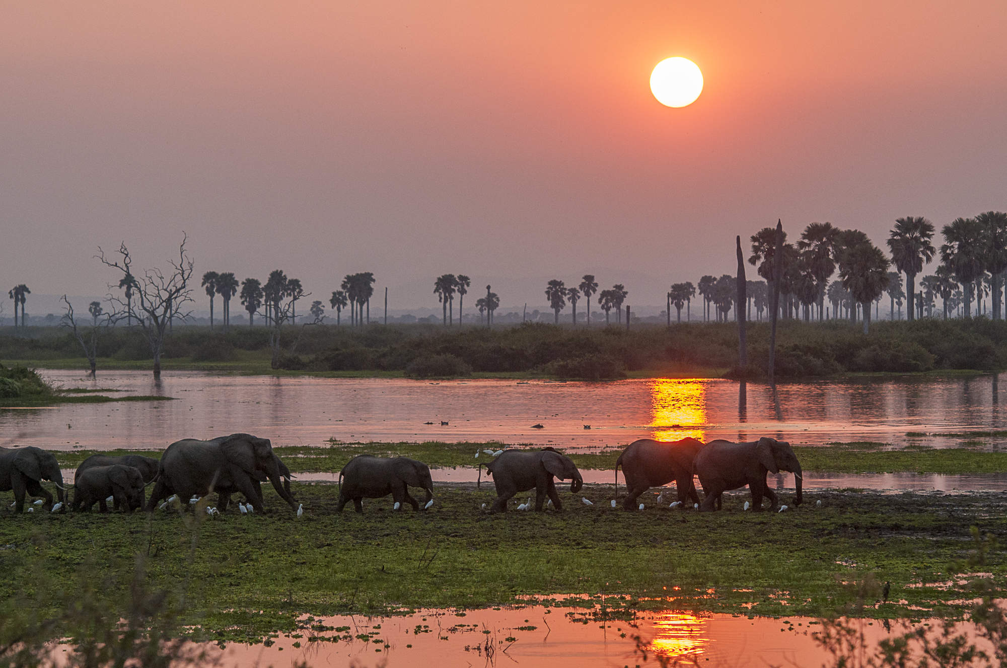
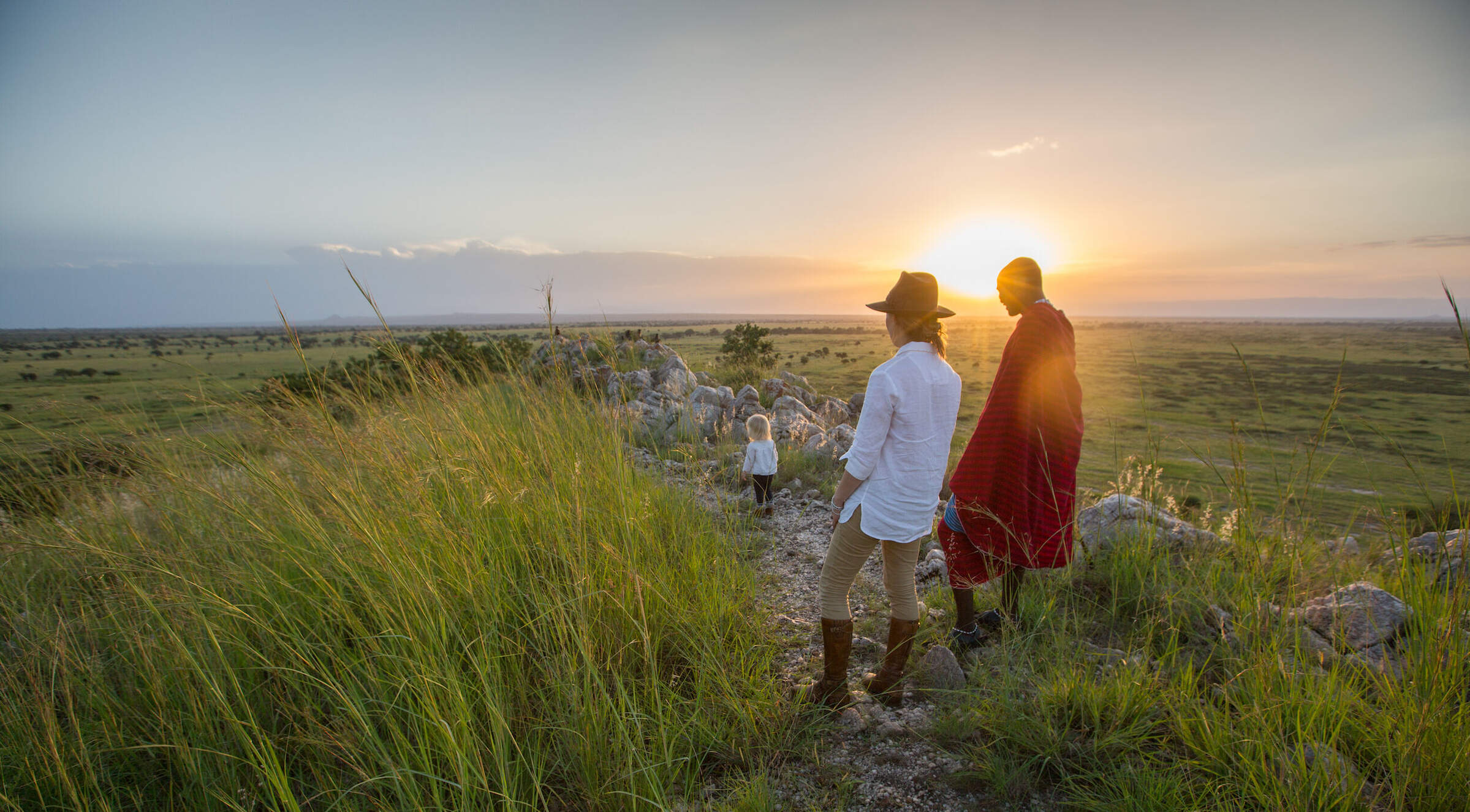
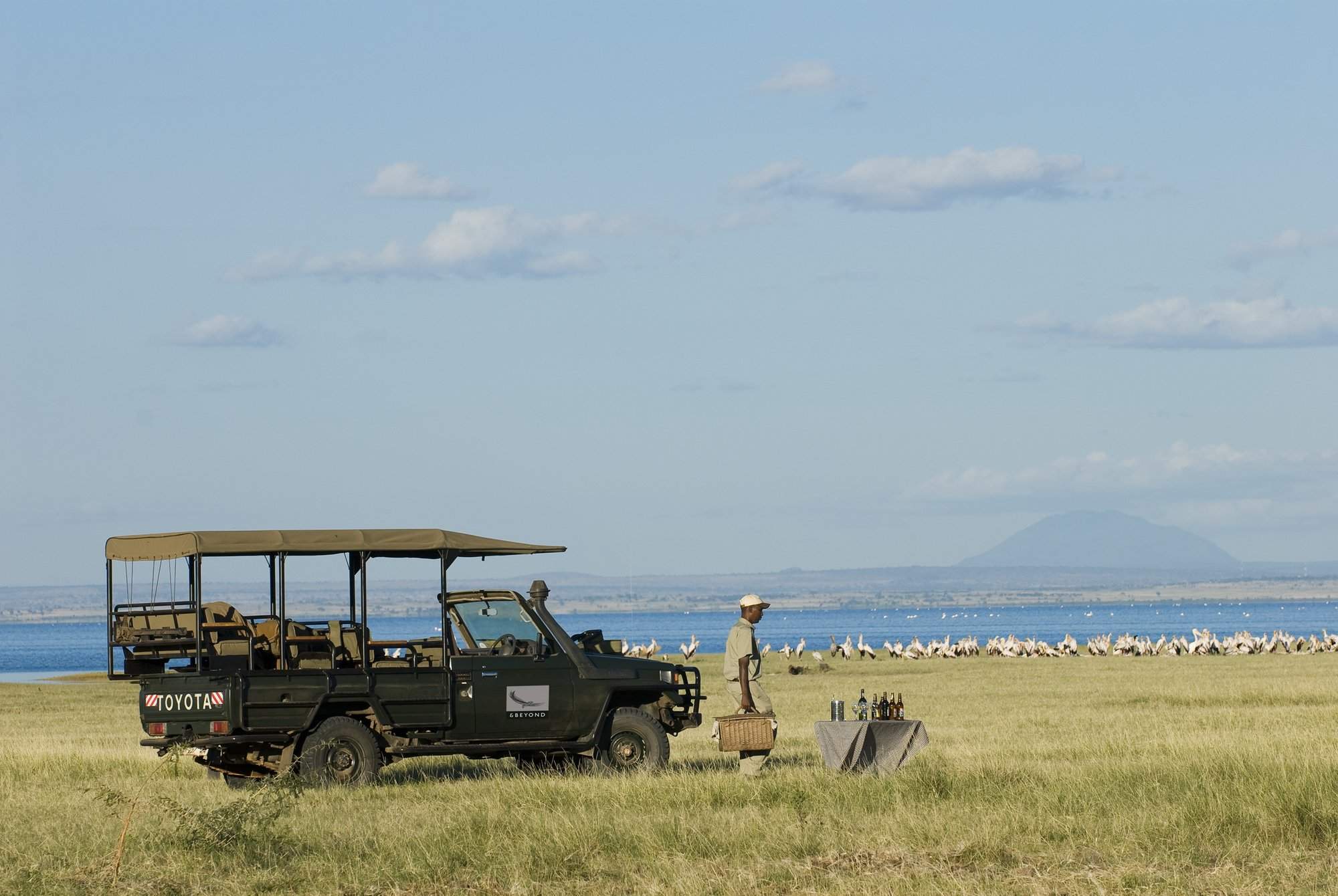
Safaris visiting Lake Manyara
Just ideas, we'll always tailor-make a trip for you


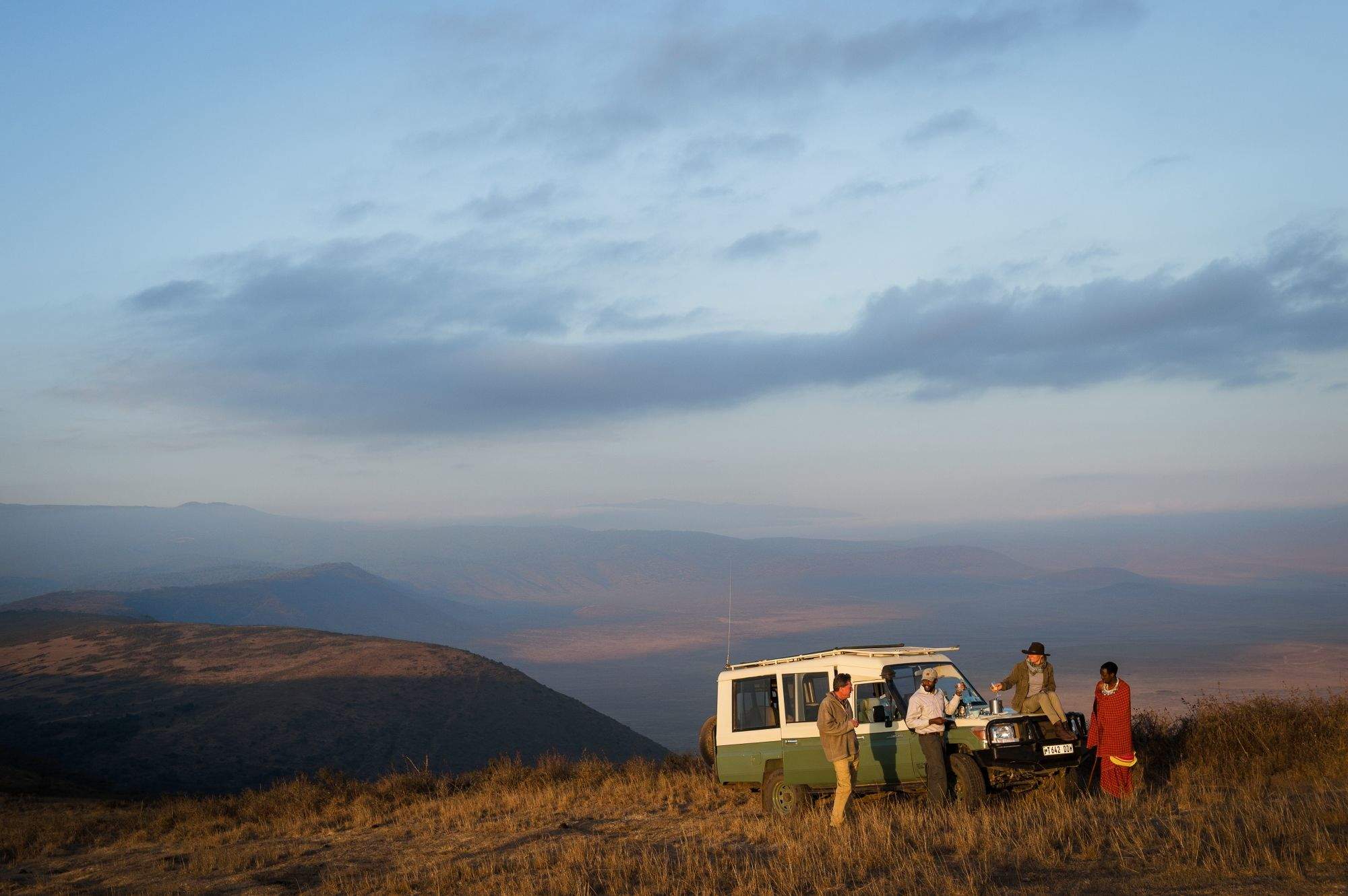
Avocet Fly-in Safari
7 days • 3 locations • 1 country
KILIMANJARO AIRPORT TO KILIMANJARO AIRPORT
This luxurious safari explores three iconic African reserves from exclusive lodges in unbeatable locations. A very high standard of food, care and guiding ensure that you can focus on this amazing experience.
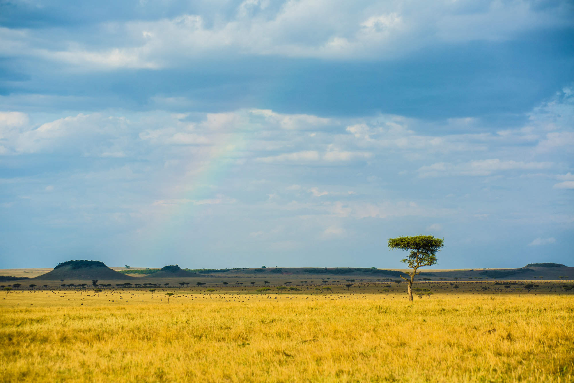
Visiting Lake Manyara, Ngorongoro Crater and 1 other area
US$9,280 - US$14,680 per person

Where to stay in Lake Manyara
Our suggestions for safari camps in Lake Manyara National Park

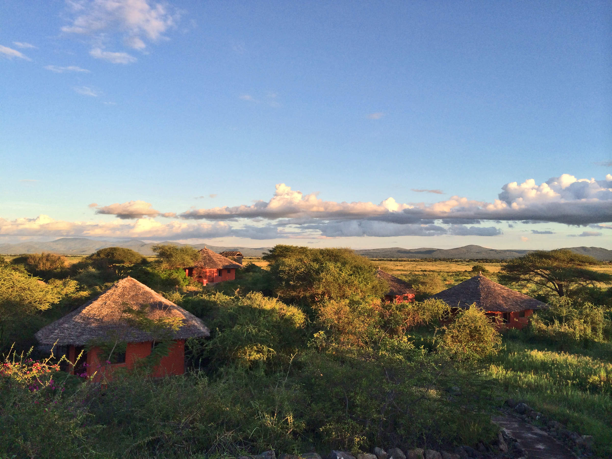
Kirurumu Manyara
With spectacular views over Lake Manyara, Kirurumu is one of the simplest camps we offer in northern Tanzania.

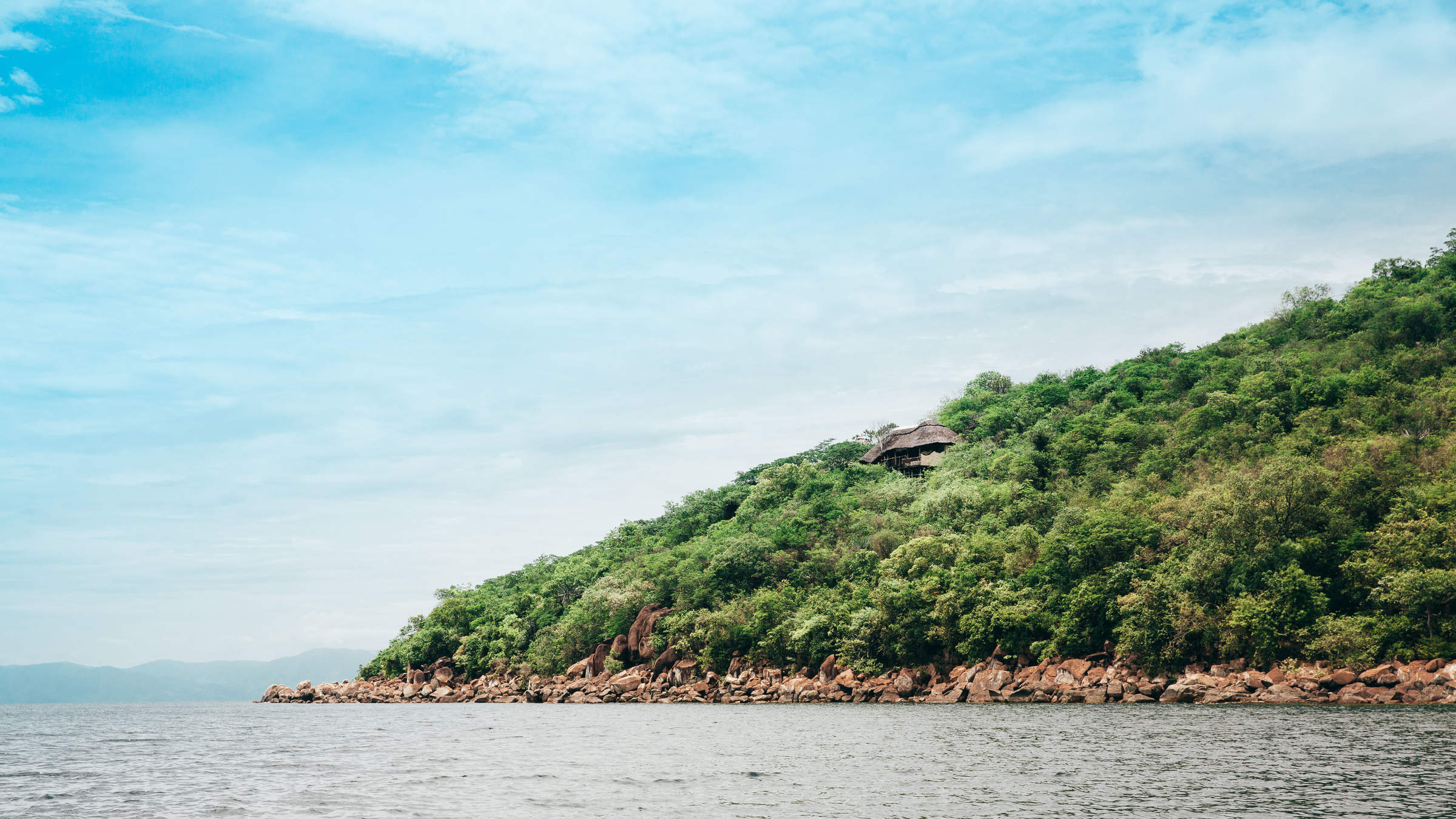
Lake Manyara Tree Lodge
Comfortable, stylish and remote, Lake Manyara Tree Lodge is one of only two places to stay inside the park, and offers excellent guiding and service.

Lake Manyara Serena
Lake Manyara Serena is a large, reasonably priced hotel perched on the lip of the Great Rift Valley with spectacular views of Lake Manyara.

Escarpment Lux Lodge
Escarpment Luxury Lodge offers stylish, modern accommodation and stunning views of Lake Manyara National Park.

Manyara Green Camp
With comfortable tents and an adventurous atmosphere, Lake Manyara Green Camp is one of two camps located inside the park.
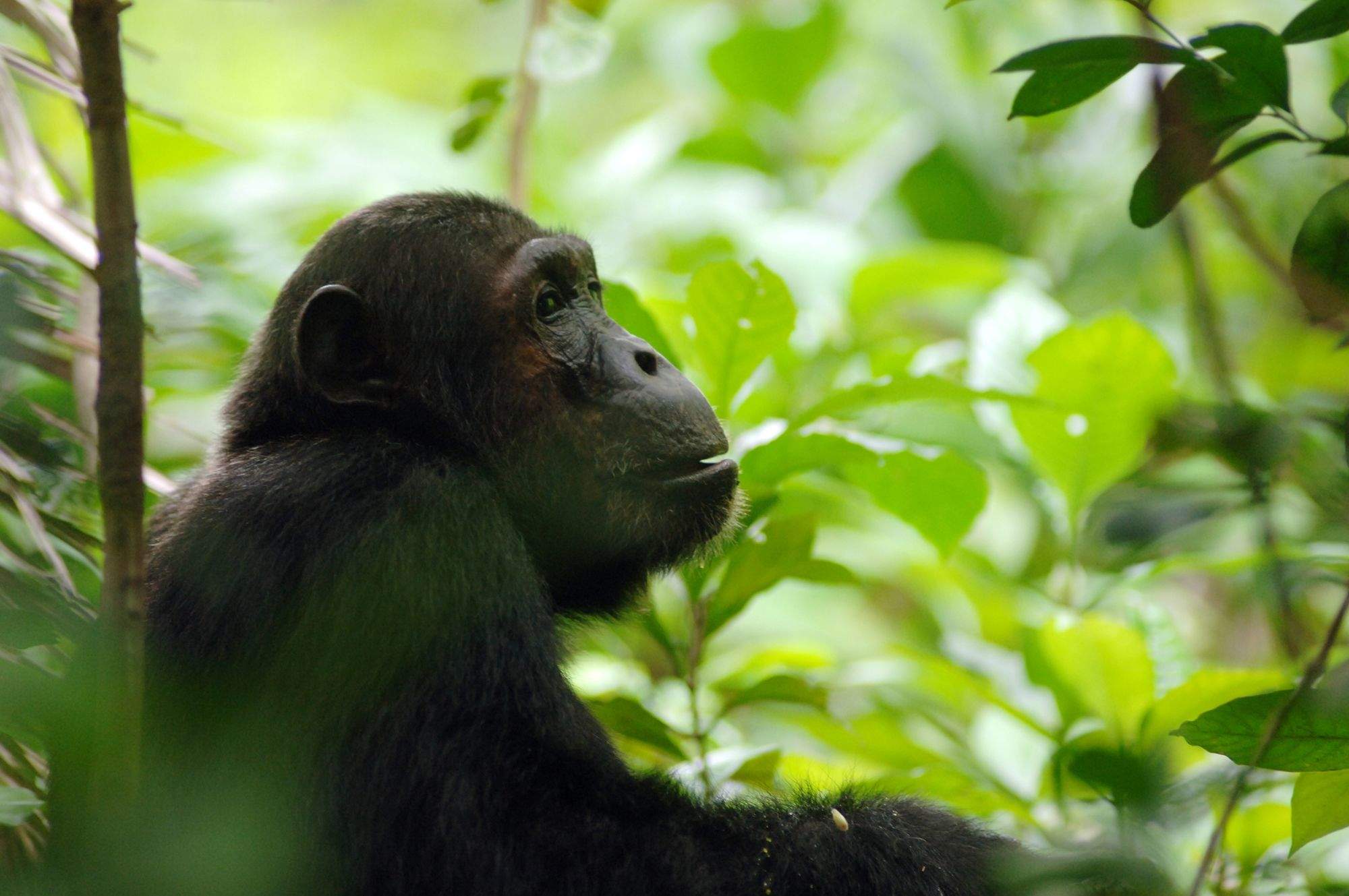
Our travellers’ wildlife sightings in Lake Manyara
This is their success for sightings in Lake Manyara National Park.
Click on a species for more detail. How we work this out.

90% success

90% success

80% success

80% success

80% success

70% success

44% success

30% success

20% success

11% success

11% success

0% success

0% success

0% success

0% success