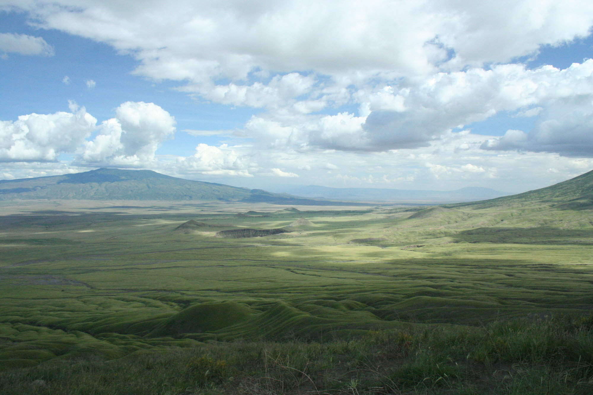
Map of Ruaha National Park
Ruaha National Park reference map

Google map of Ruaha
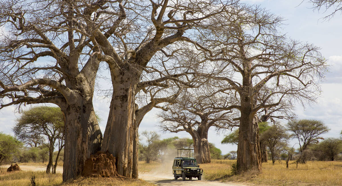
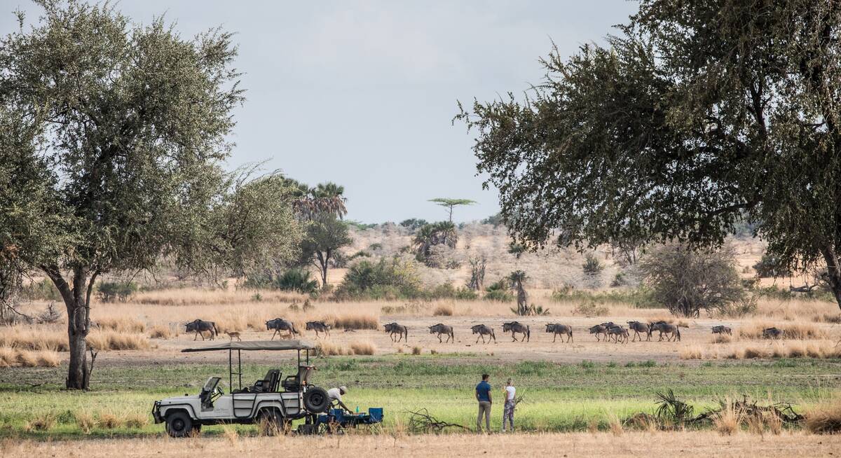
Safaris visiting Ruaha
Just ideas, we'll always tailor-make a trip for you

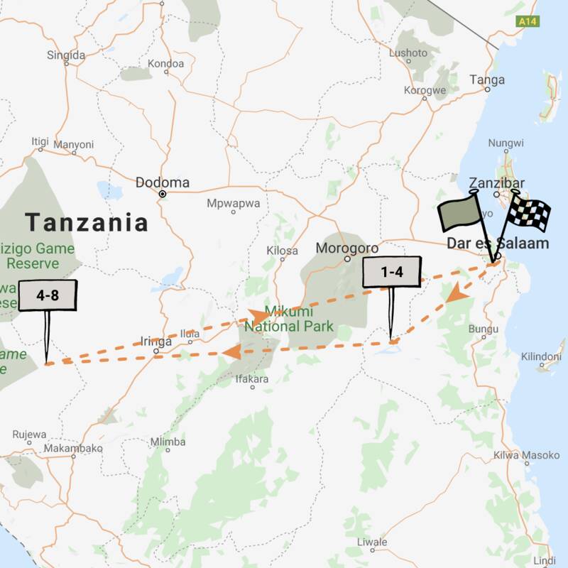
Yellow Baboon Fly-In Safari
7 days • 2 locations • 1 country
DAR ES SALAAM AIRPORT TO DAR ES SALAAM AIRPORT
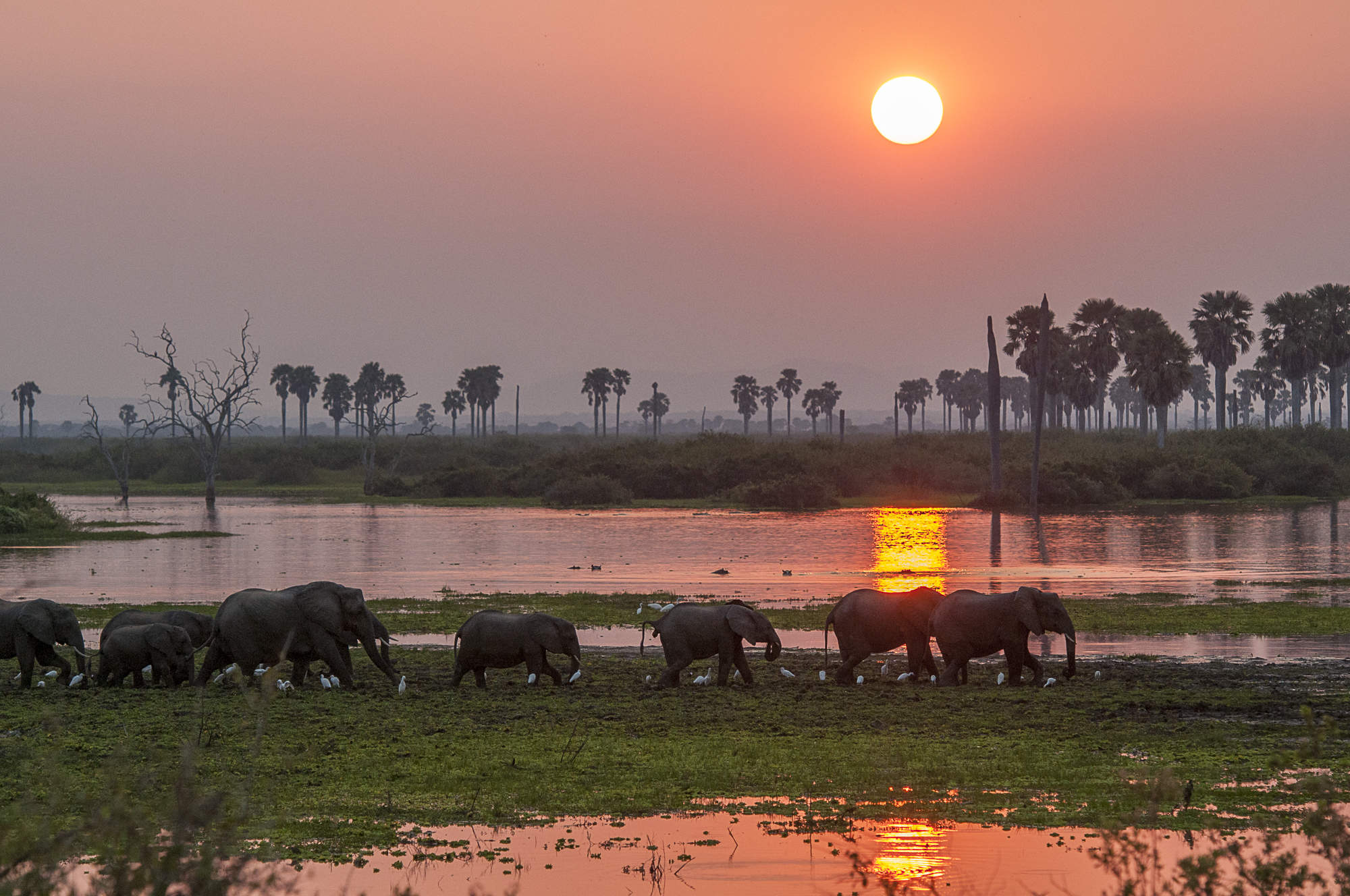
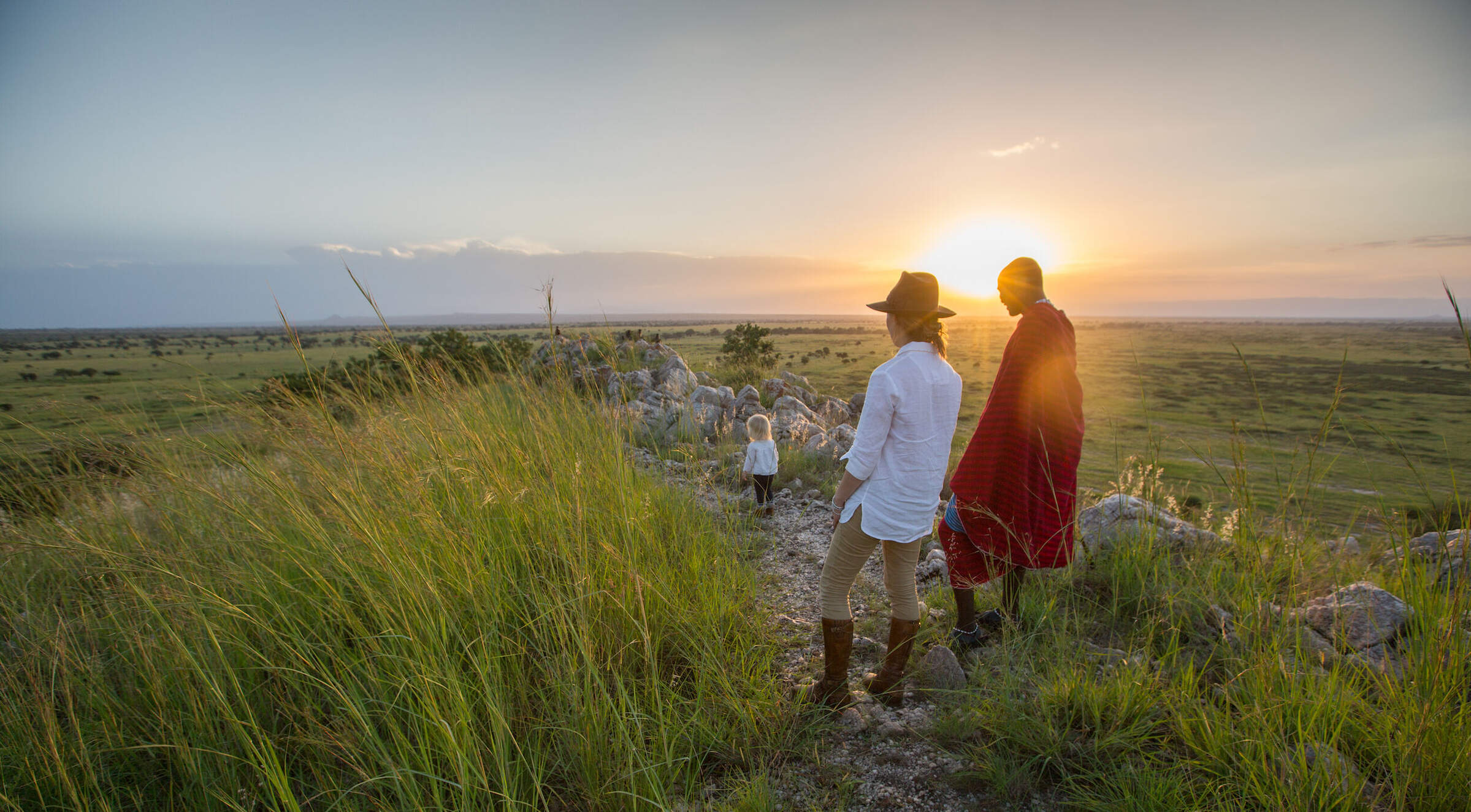
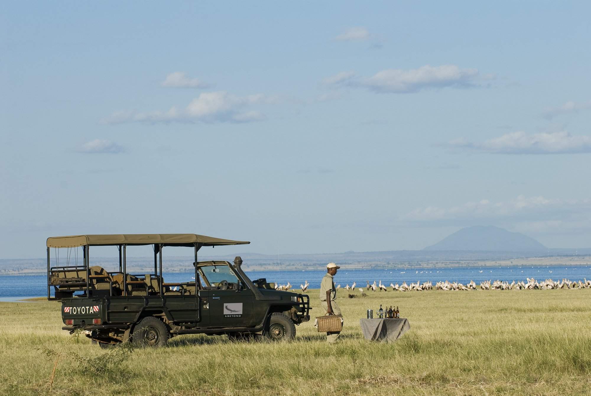
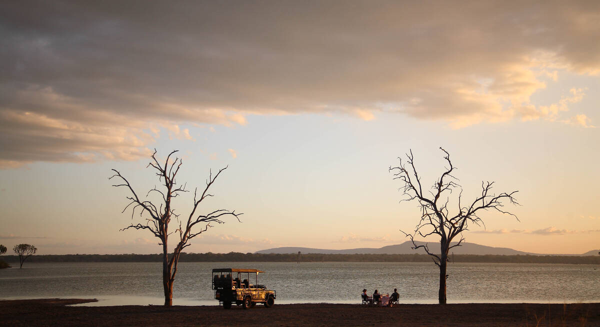
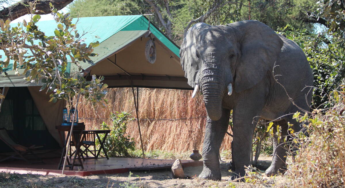
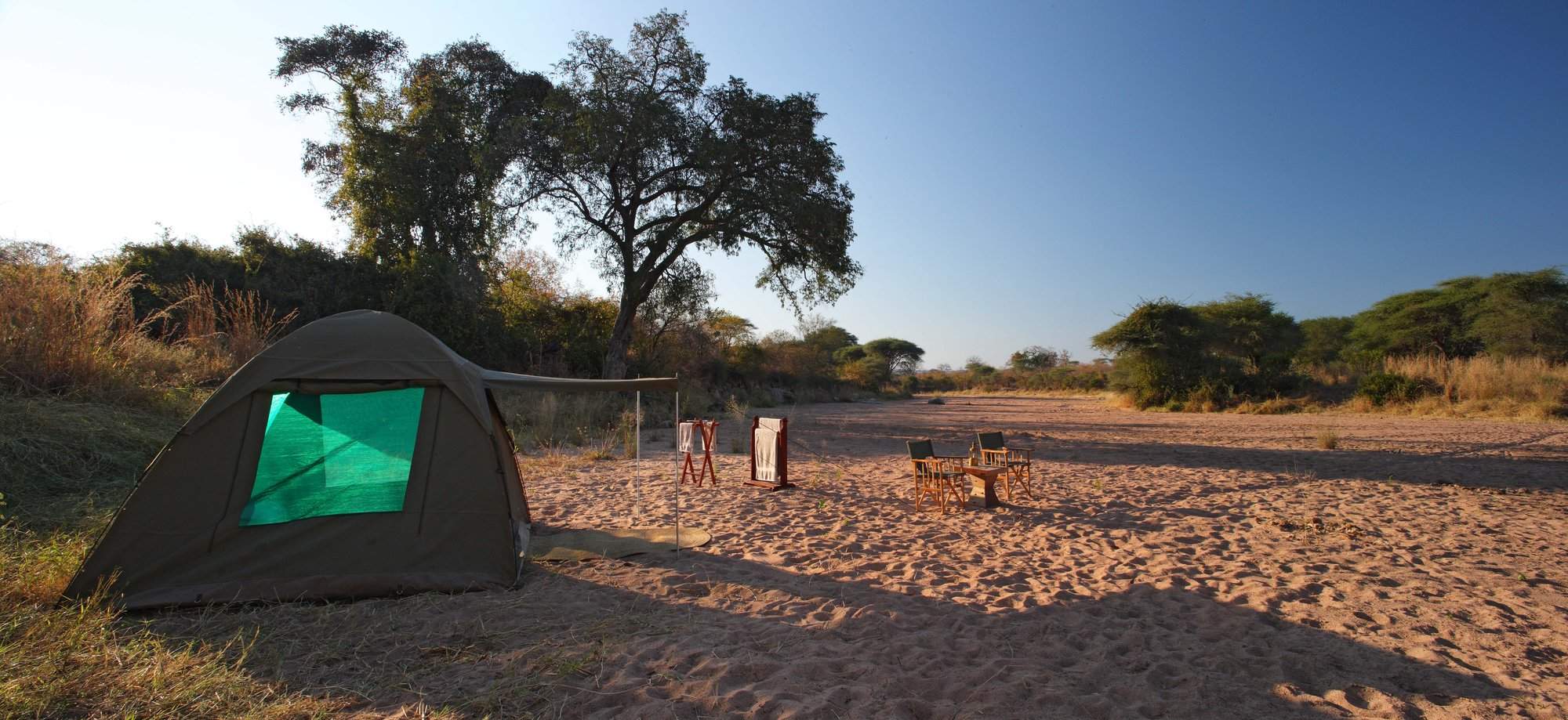
Two authentic bushcamps offer access to Ruaha’s remote wildernesses through walking safaris, day and night 4WD drives and fly-camping. Explore in almost utter isolation, with superb guiding to heighten your immersion in nature.
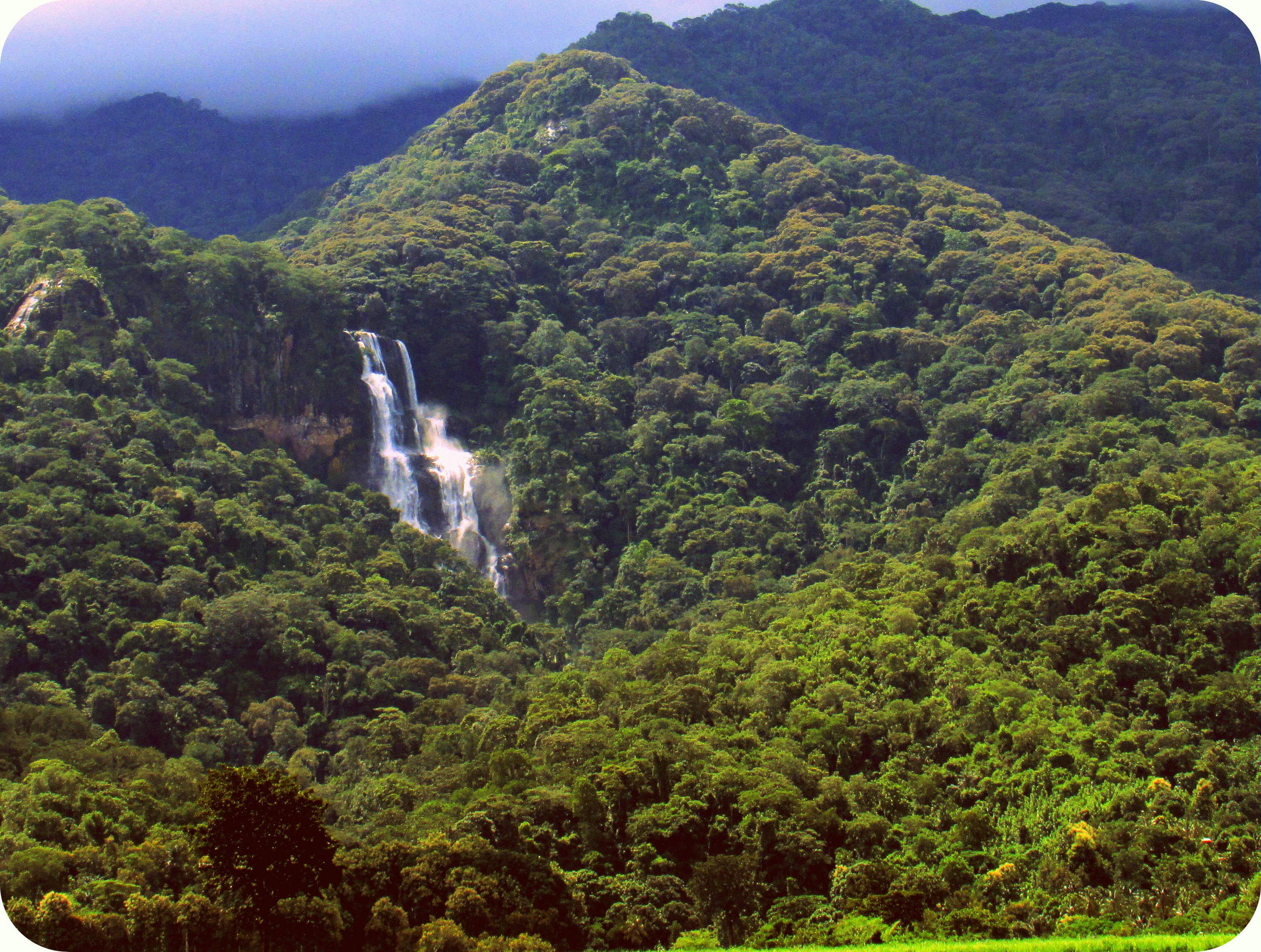
Visiting Ruaha
US$7,950 - US$9,220 per person

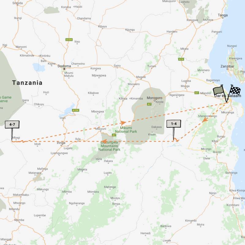
Jackal Fly-in Safari
8 days • 2 locations • 1 country
DAR ES SALAAM AIRPORT TO DAR ES SALAAM AIRPORT
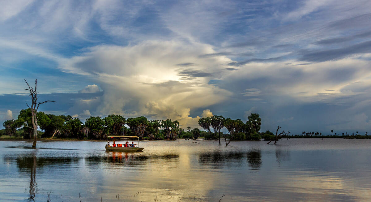
Enjoy a range of activities on this luxury fly-in safari. Explore the remoter regions of Ruaha National Park and Nyerere National Park with phenomenal guides during stays at two impressively comfortable camps that remain perfectly in keeping with their surroundings.
Visiting Nyerere, Ruaha
US$7,740 - US$9,960 per person
Topi Fly-in Safari
7 days • 2 locations • 1 country
DAR ES SALAAM AIRPORT TO DAR ES SALAAM AIRPORT
Explore Nyerere National Park and Ruaha National Park from two luxurious, colonially styled camps. Chosen for their access to good game viewing and thrilling remoteness, these camps also offer a range of varied safari activities.
Visiting Nyerere, Ruaha
US$6,540 - US$6,870 per person


Red Colobus Monkey Safari
11 days • 3 locations • 2 country
DAR ES SALAAM AIRPORT TO DAR ES SALAAM AIRPORT
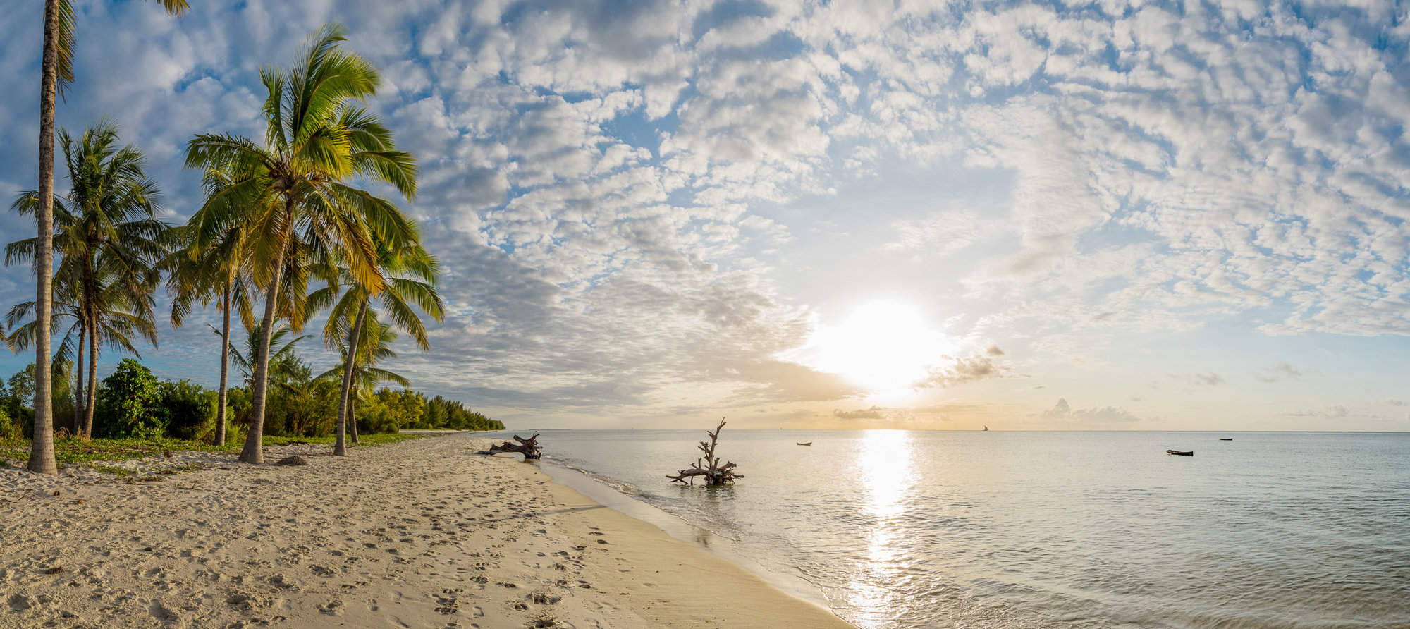
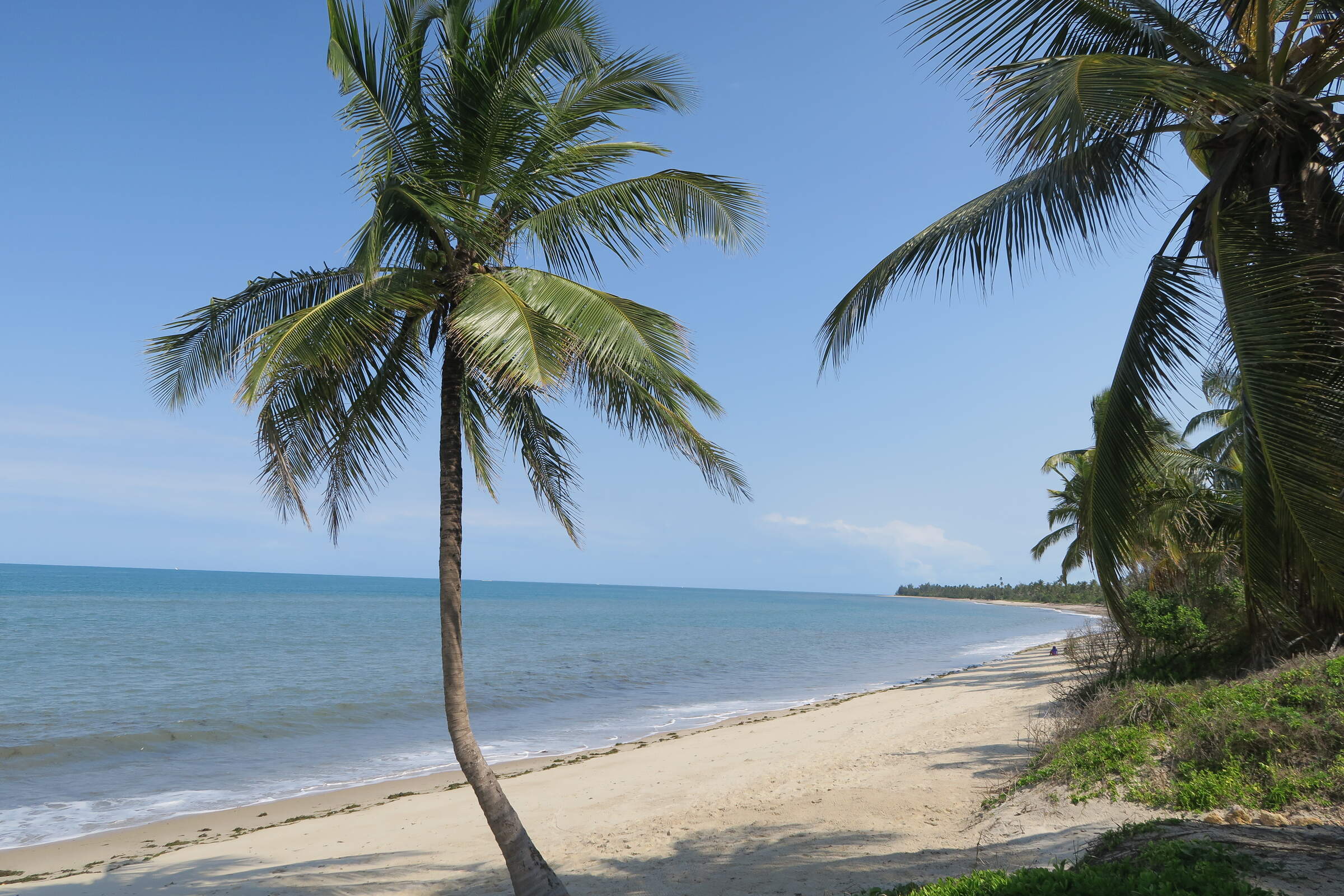
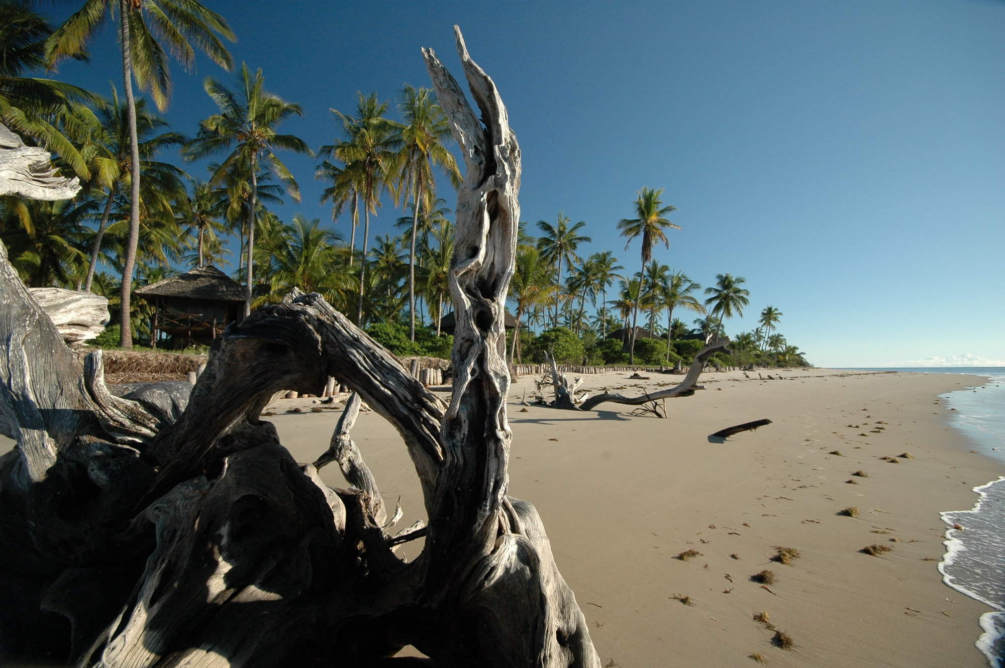
This luxury holiday suggestion combines a wildlife safari in Ruaha National Park with a week on Zanzibar, exploring Stone Town’s narrow streets and relaxing on a palm-shaded beach.
Visiting Ruaha, Stone Town and 1 other area
US$6,020 - US$7,820 per person


Superb Starling Fly-In Safari
7 days • 2 locations • 1 country
DAR ES SALAAM AIRPORT TO DAR ES SALAAM AIRPORT
Explore Nyerere and Ruaha national parks from two luxurious sister camps within wildlife-rich locations. Both offer a range of land- and water-based activities, a superb standard of guiding and access to beautifully contrasting landscapes.
Visiting Ruaha, Nyerere
US$8,300 - US$11,720 per person
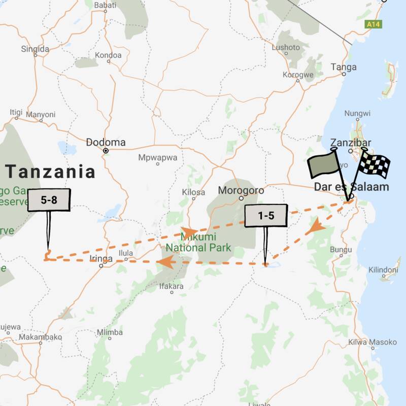
Dwarf Mongoose Fly-in Safari
6 days • 2 locations • 1 country
DAR ES SALAAM AIRPORT TO DAR ES SALAAM AIRPORT
Stay in two eco-friendly, rustic bush camps in Nyerere National Park and Ruaha National Park. Remote wilderness, a diversity of habitats and a good range of activities are available in these two wildlife havens.
Visiting Ruaha, Nyerere
US$4,110 - US$5,060 per person
Turaco Safari
12 days • 4 locations • 2 country
DAR ES SALAAM AIRPORT TO DAR ES SALAAM AIRPORT
This top-value holiday idea combines two safari areas with a week on the Indian Ocean island of Zanzibar. Photograph lions and elephants, then relax under the palms on a powder-sand beach.
Visiting Nyerere, Ruaha and 2 other areas
US$5,460 - US$6,330 per person
Spotted Hyena Fly-in Safari
7 days • 2 locations • 1 country
DAR ES SALAAM AIRPORT TO DAR ES SALAAM AIRPORT
Stay in one of Nyerere National Park's best safari camps before experiencing a truly authentic tented camp in Ruaha. Remote locations, superb guiding and a range of activities await guests during this comfortable fly-in safari.
Visiting Nyerere, Ruaha
US$7,350 - US$9,360 per person

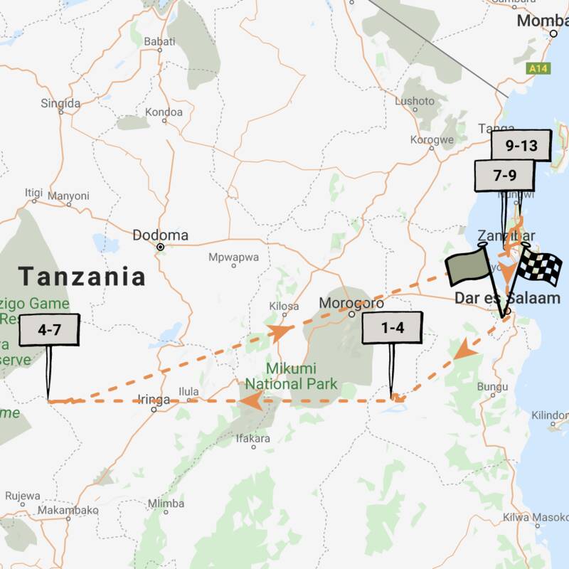
Marabou Stork Fly-in Safari
13 days • 5 locations • 1 country
KILIMANJARO AIRPORT TO DAR ES SALAAM AIRPORT
Four luxurious camps enable exploration of Tanzania’s north and southern regions. With a range of land- and water-based activities available throughout, decidedly comfortable accommodation and applicable long-stay discounts, this adventurous safari is excellent value.
Visiting Tarangire, Serengeti and 3 other areas
US$16,050 - US$23,210 per person

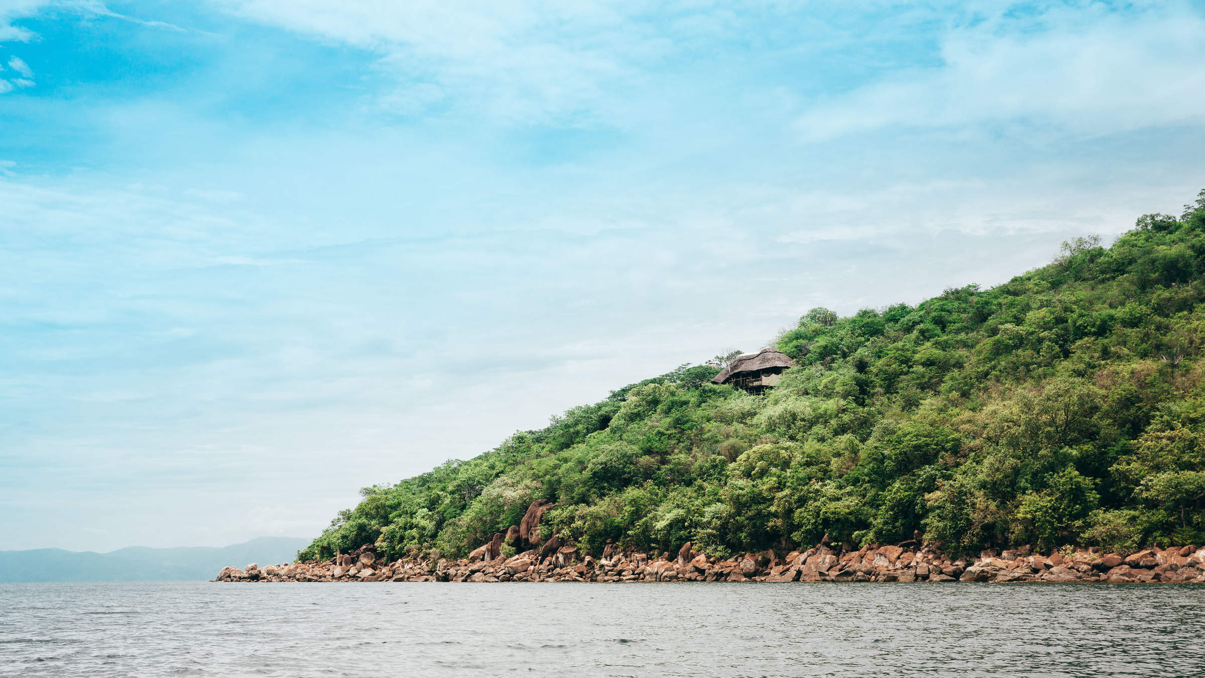
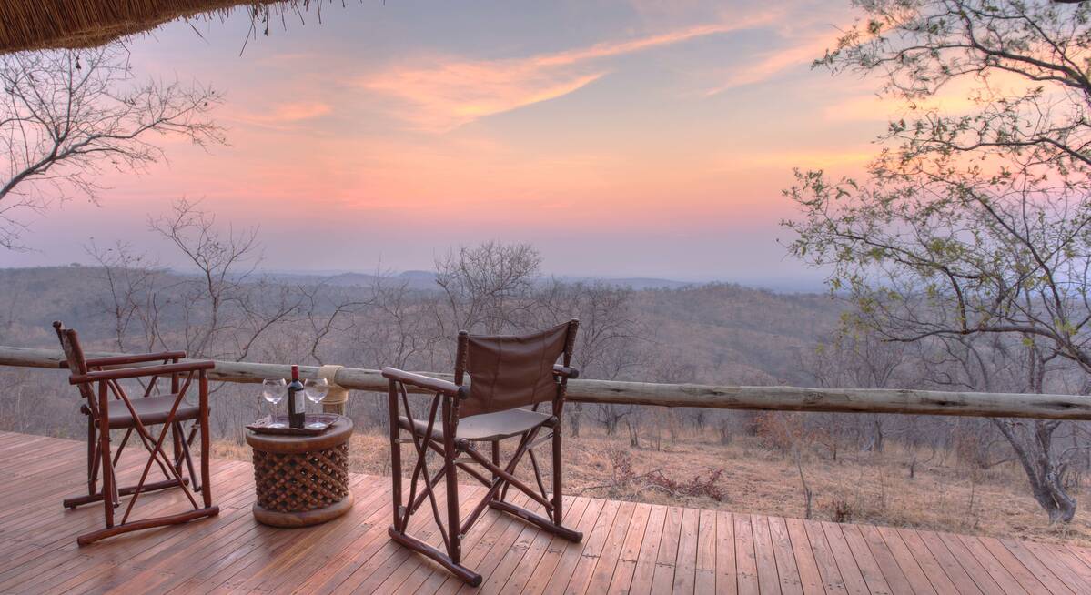
Where to stay in Ruaha
Our suggestions for safari camps in Ruaha National Park
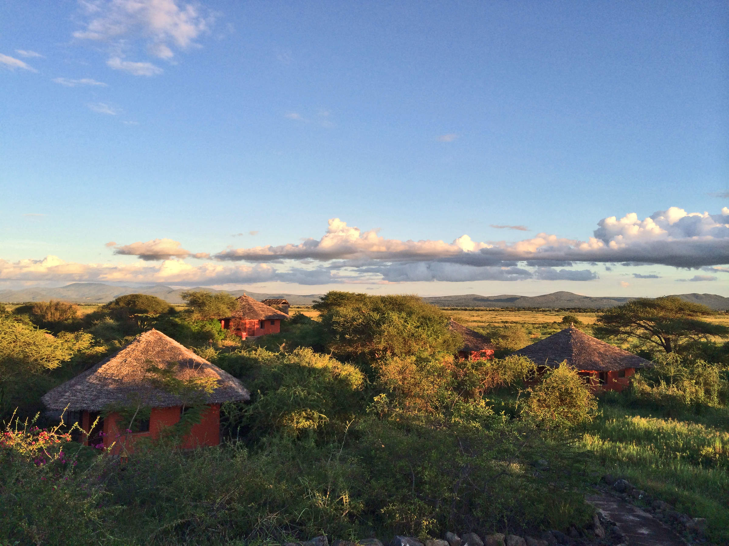
Mdonya Old River Camp
Designed with simplicity in mind, Mdonya River Camp focuses on a great wilderness experience rather than creature comforts.
Mwagusi Safari Camp
Mwagusi is a long-established, permanent, tented safari camp, on an attractive bend of the seasonal Mwagusi River.
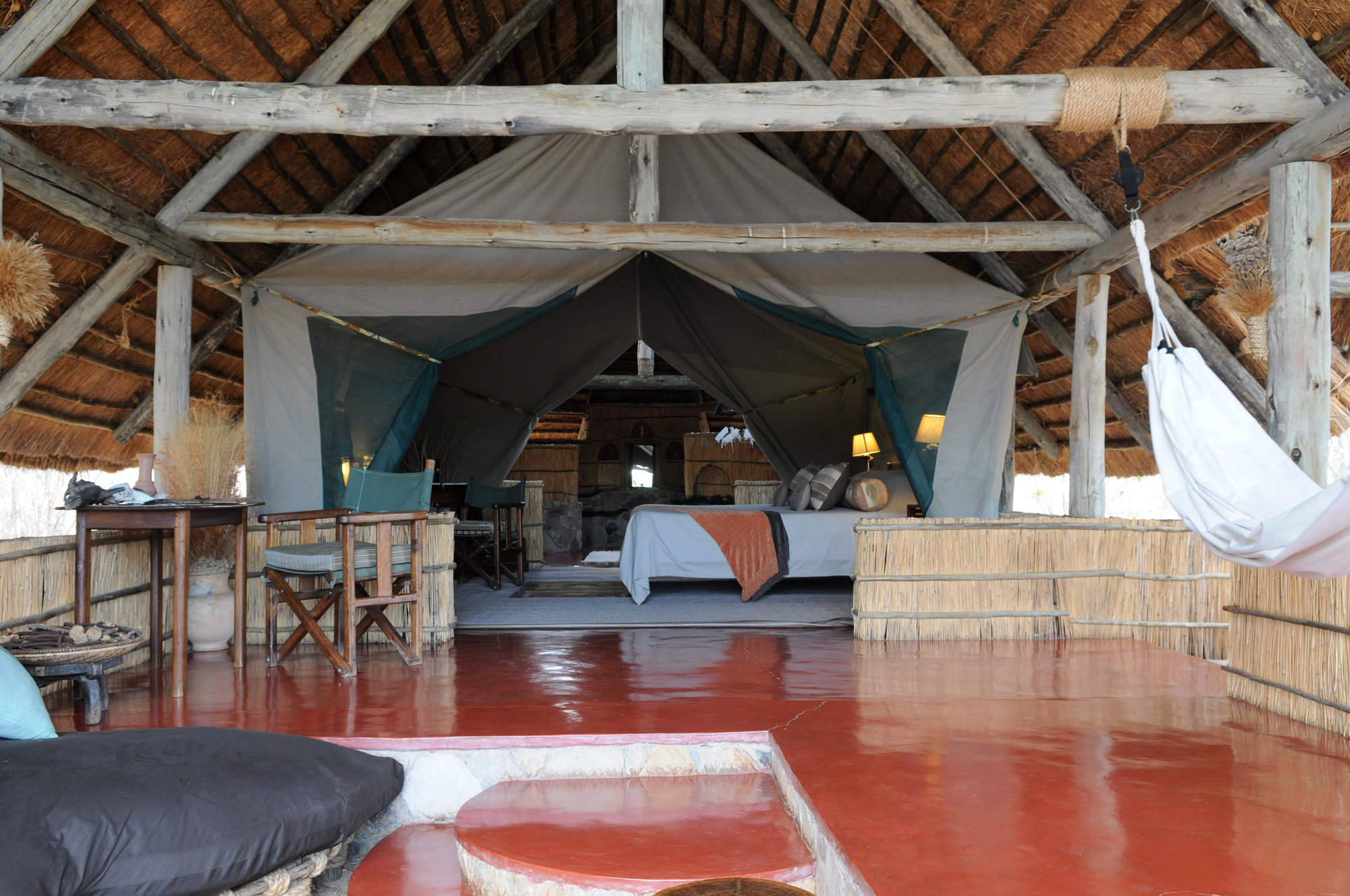
Kwihala Camp
Kwihala is a permanent tented camp in Ruaha National Park, offering a high level of comfort and guiding in a natural setting.
Ikuka Safari Camp
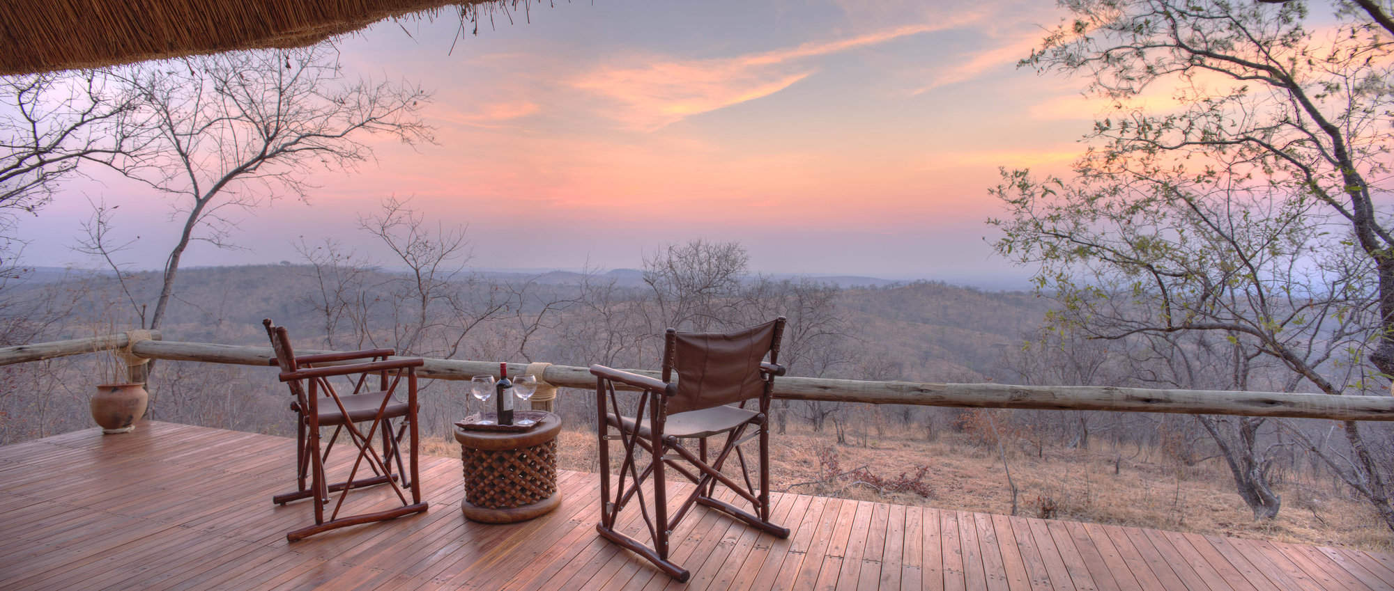
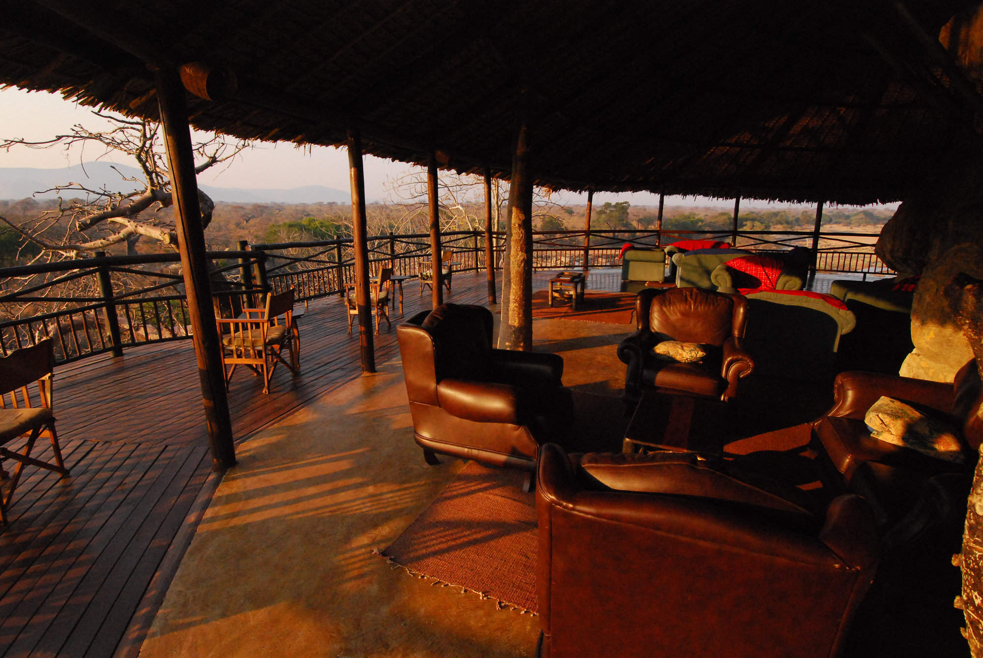
Upmarket and stylish, Ikuka Safari Camp is set high on an escarpment with spectacular panoramic views over Ruaha National Park.
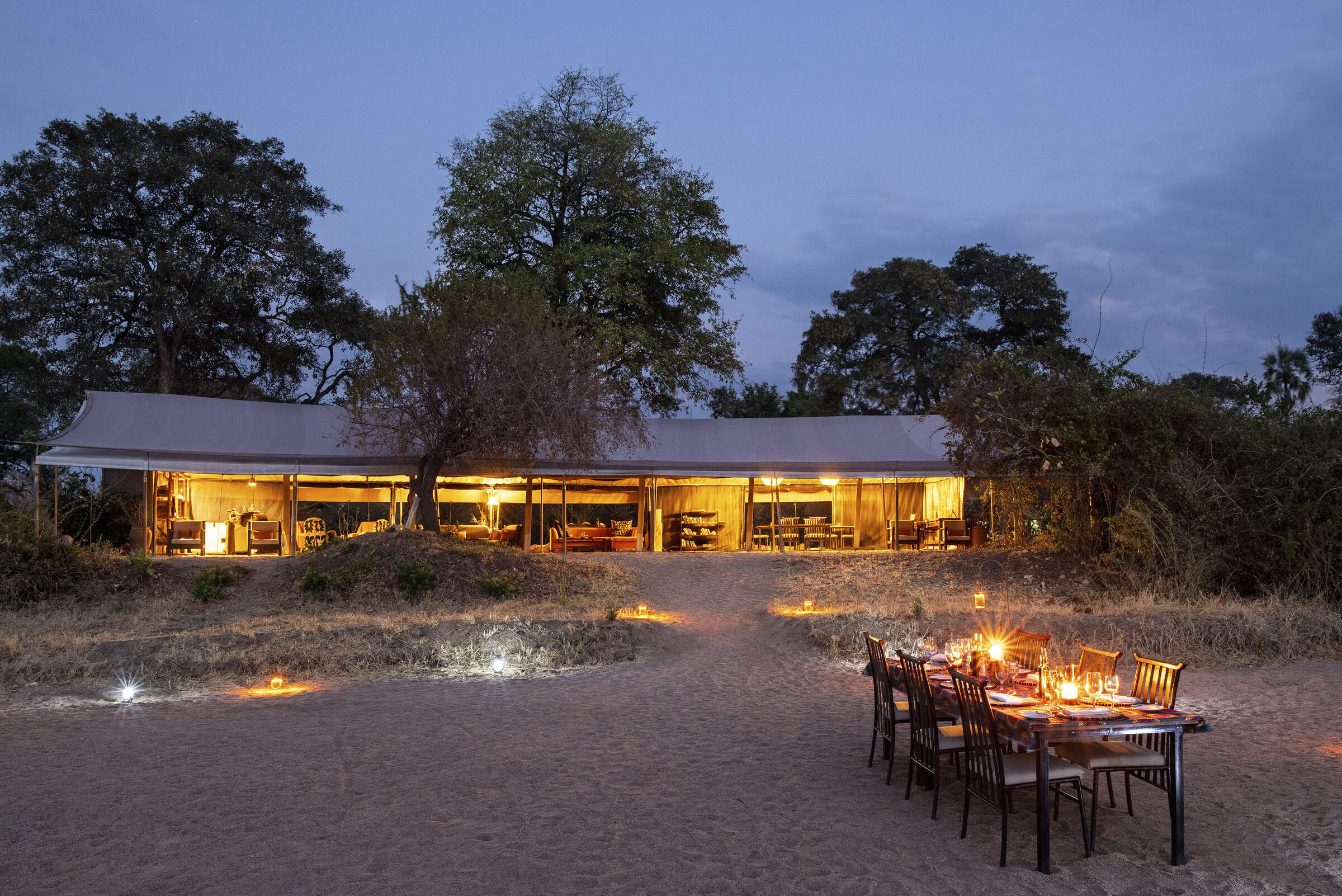
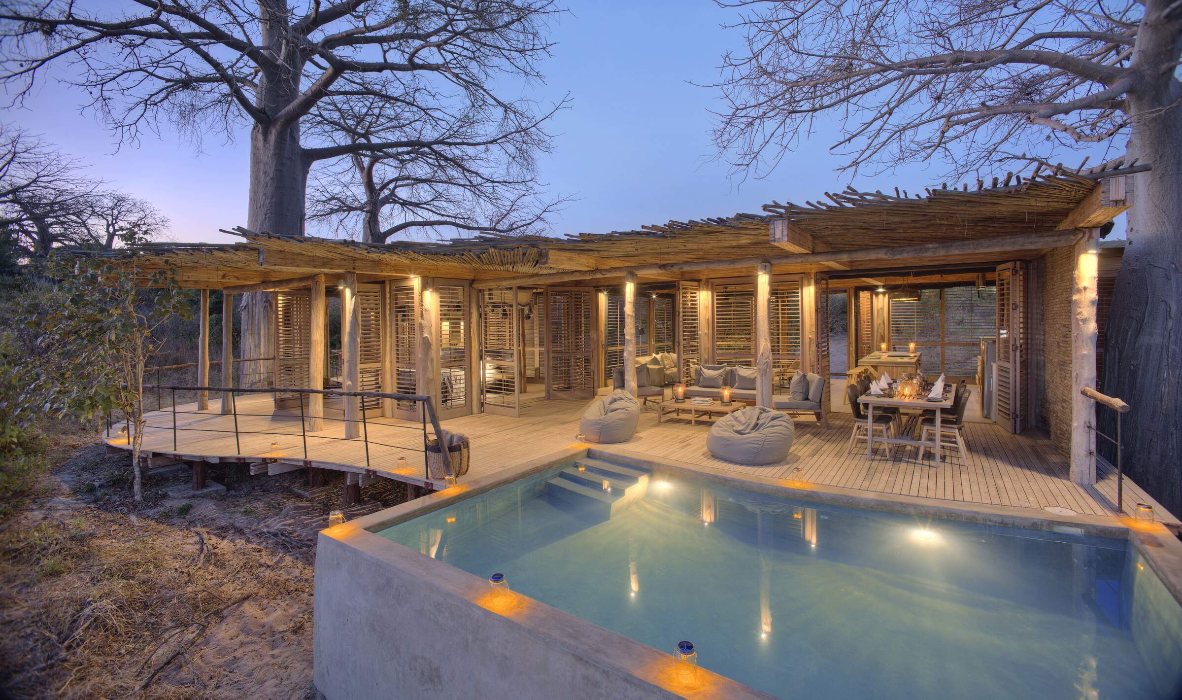
Jongomero Camp
A stylish and luxurious camp in a remote part of Ruaha, Jongomero offers excellent guiding and service in a remote, wilderness area.
Kigelia Camp
Kigelia is a stylish tented camp, set amid a grove of sausage trees, and combining a simple set-up with comforts and luxury.
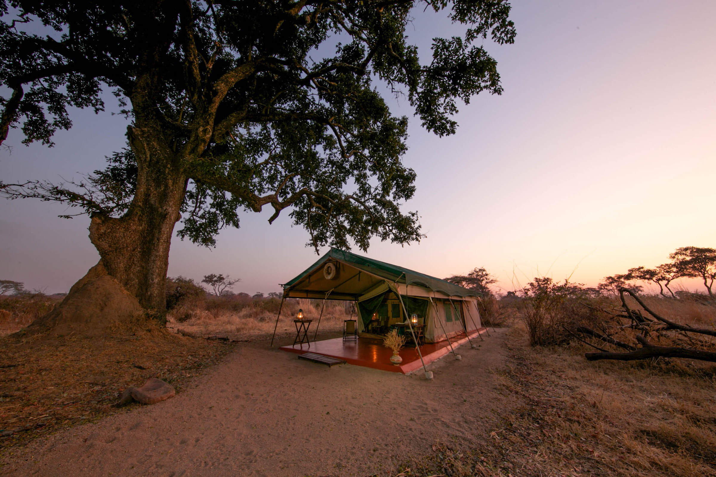
Kichaka Expeditions
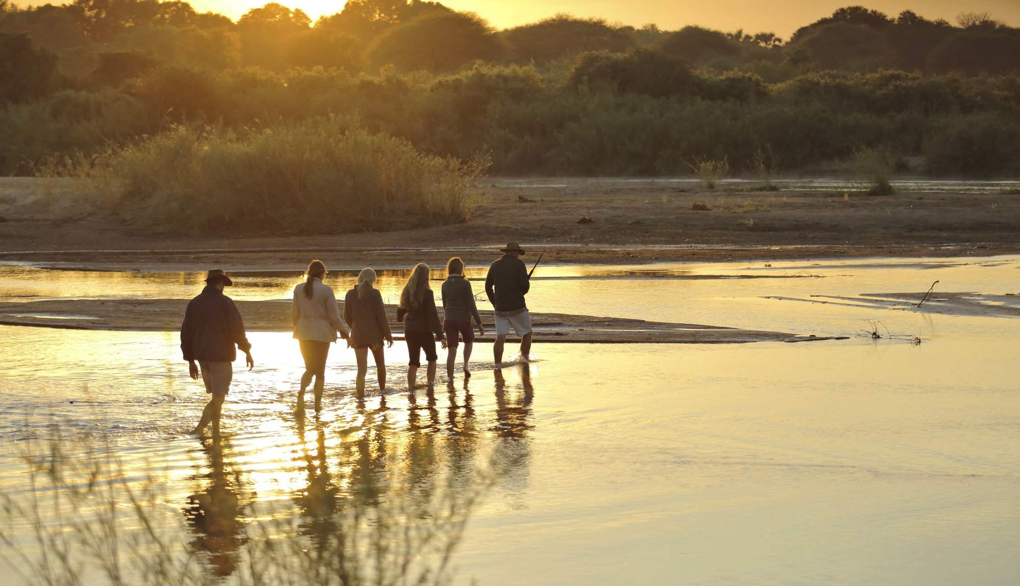
In a remote corner of Ruaha, Kichaka is a private mobile camp focusing on superbly guided walking safaris.
Ruaha River Lodge
In a lovely location beside a rocky river, the unpretentious Ruaha River Lodge is the largest and most economical camp in Ruaha National Park.
Kichaka Zumbua
Kichaka Zumbua is a small, luxurious camp offering on outstanding walking safaris in a remote area of Ruaha.
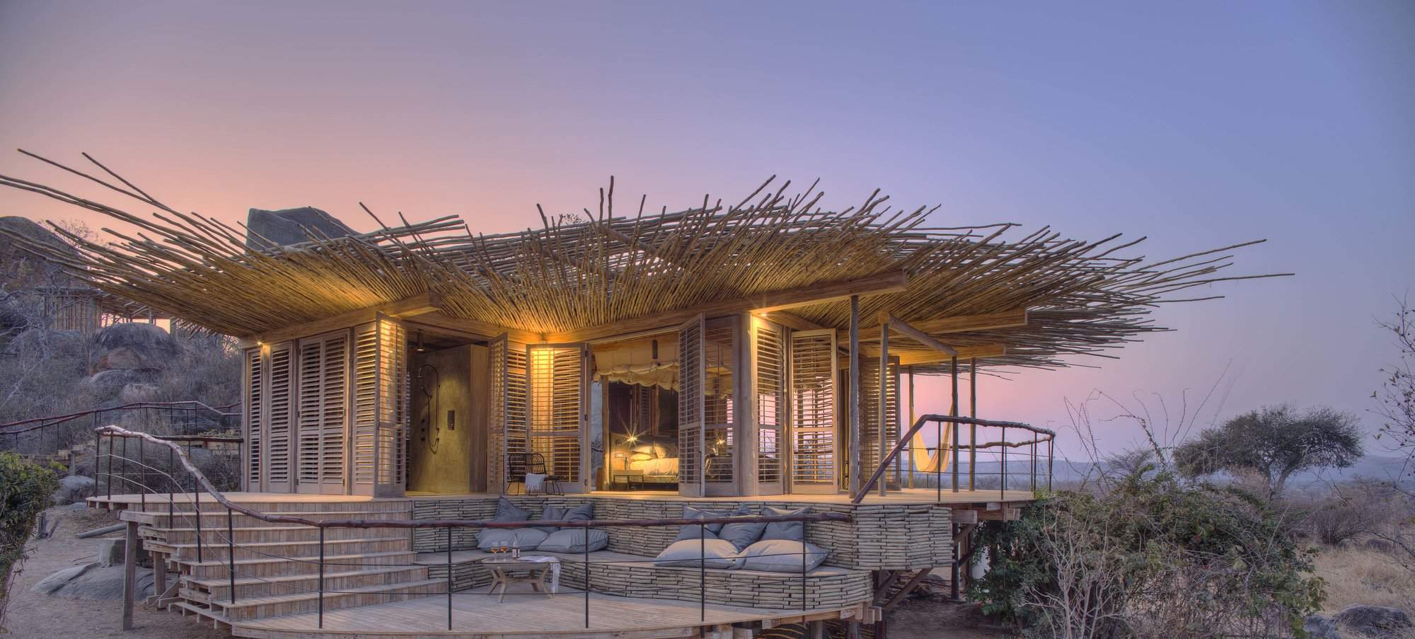
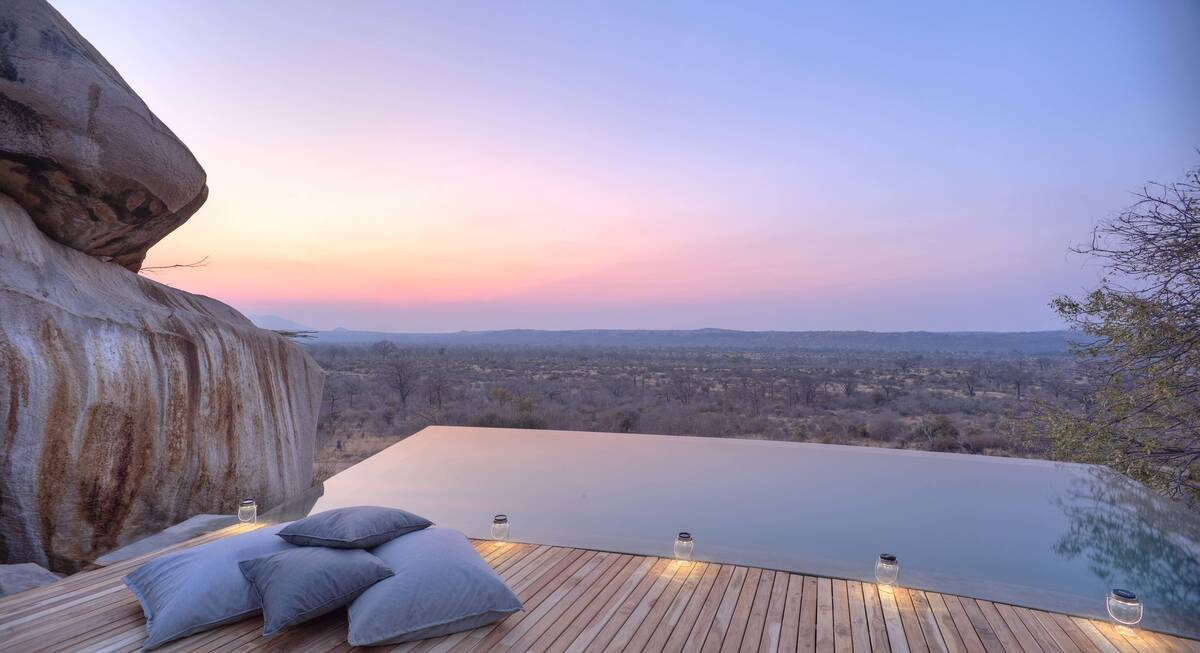
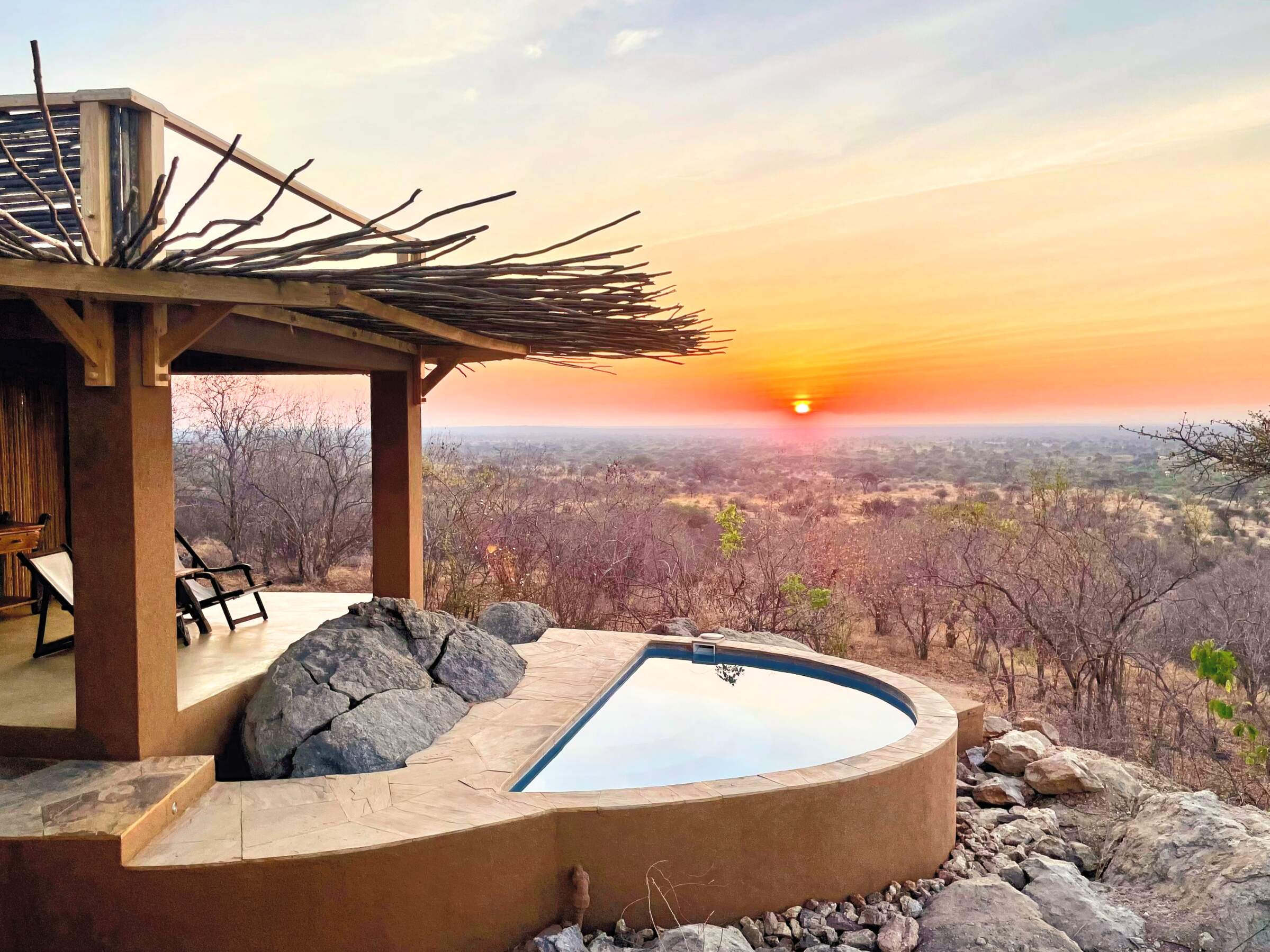
Jabali Ridge
One of Ruaha's most luxurious camps, Jabali Ridge nestles among kopjes and baobabs, with beautiful views of the surrounding area.
Jabali Private House
Jabali Private House in Ruaha National Park provides luxurious accommodation for private groups booked on an exclusive basis.
Jongomero Walking
Fly-camping and walking safaris from Jongomero Camp give you the chance to explore remote safari areas in Ruaha National Park.

Asanja Ruaha
Asanja Ruaha Ndembo is a smart new safari lodge in a picturesque setting overlooking the Great Ruaha River.
Our travellers’ wildlife sightings in Ruaha
This is their success for sightings in Ruaha National Park.
Click on a species for more detail. How we work this out.

100% success

100% success

99% success

95% success

85% success

82% success

68% success

63% success

52% success

22% success

22% success

15% success

12% success

9% success

0% success

0% success