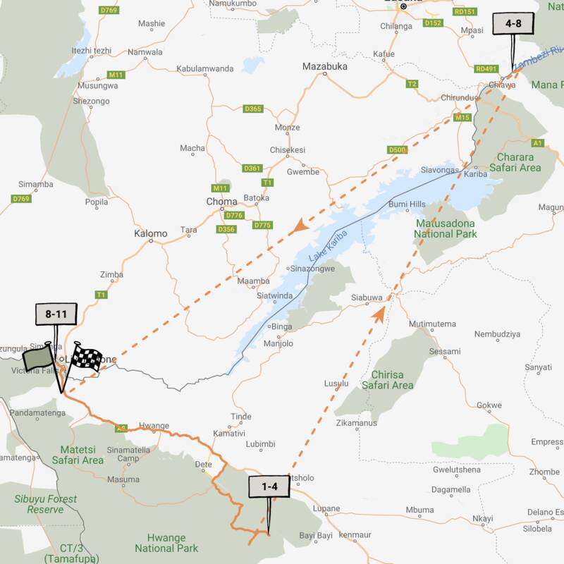
Map of Hwange National Park
Hwange National Park reference map

Google map of Hwange
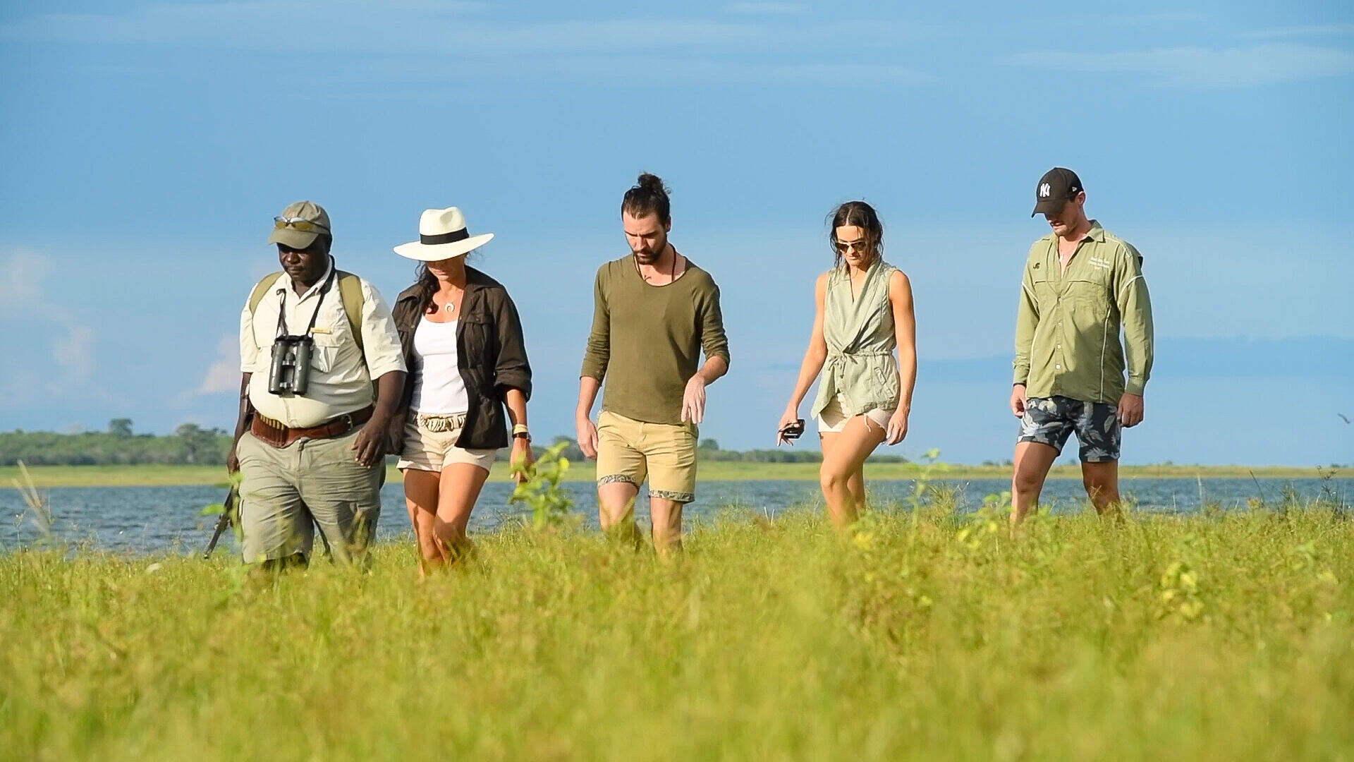
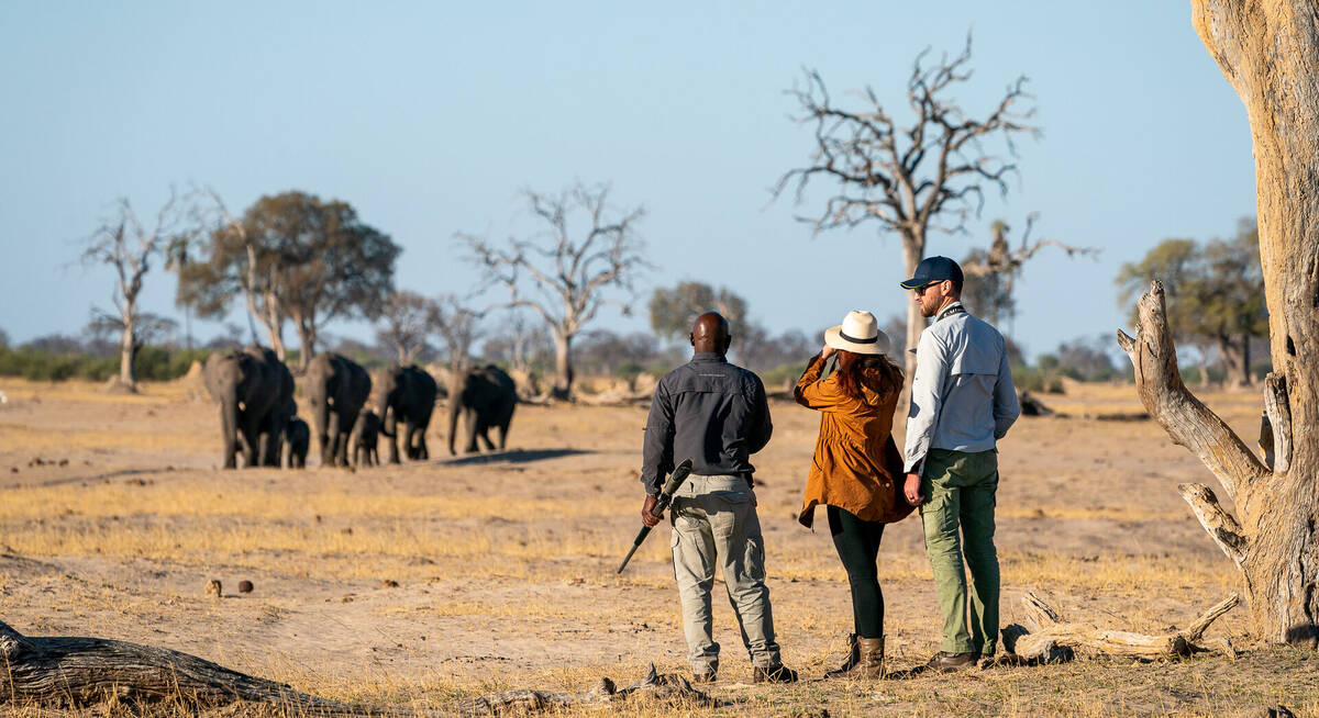
Safaris visiting Hwange
Just ideas, we'll always tailor-make a trip for you
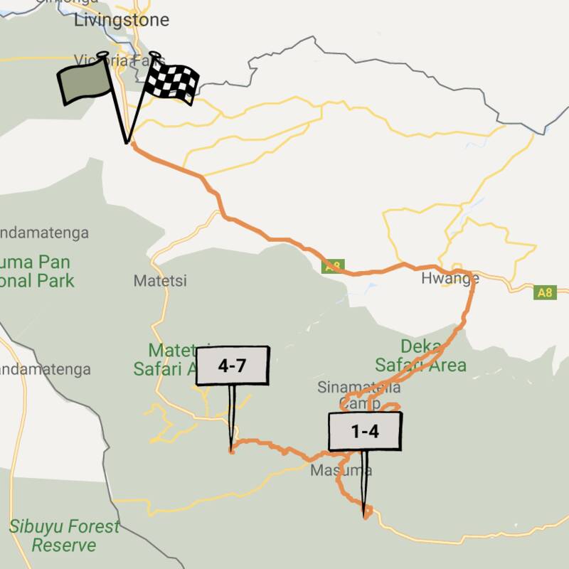
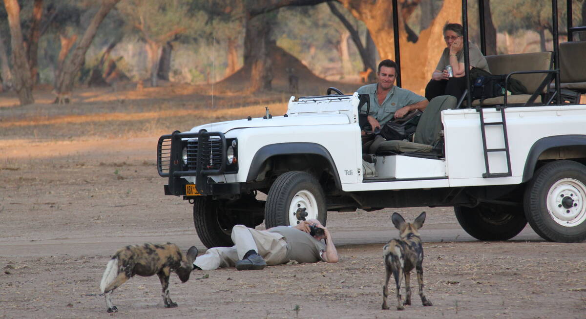
Side-striped Jackal Safari
6 days • 2 locations • 1 country
VICTORIA FALLS AIRPORT TO VICTORIA FALLS AIRPORT
Get an in-depth experience of Zimbabwe’s colossal Hwange National Park, staying at two experience-focused camps with excellent guiding in contrasting areas. An adventurous safari for the real enthusiast.
Visiting Hwange
US$3,480 - US$5,460 per person
Ground Hornbill Safari
9 days • 3 locations • 1 country
VICTORIA FALLS AIRPORT TO BULAWAYO AIRPORT
This Zimbabwean odyssey explores Hwange National Park from two small camps, renowned for their great guiding, before ending with insights into cultural history, a little luxury and first-class rhino tracking in the Matobo Hills.
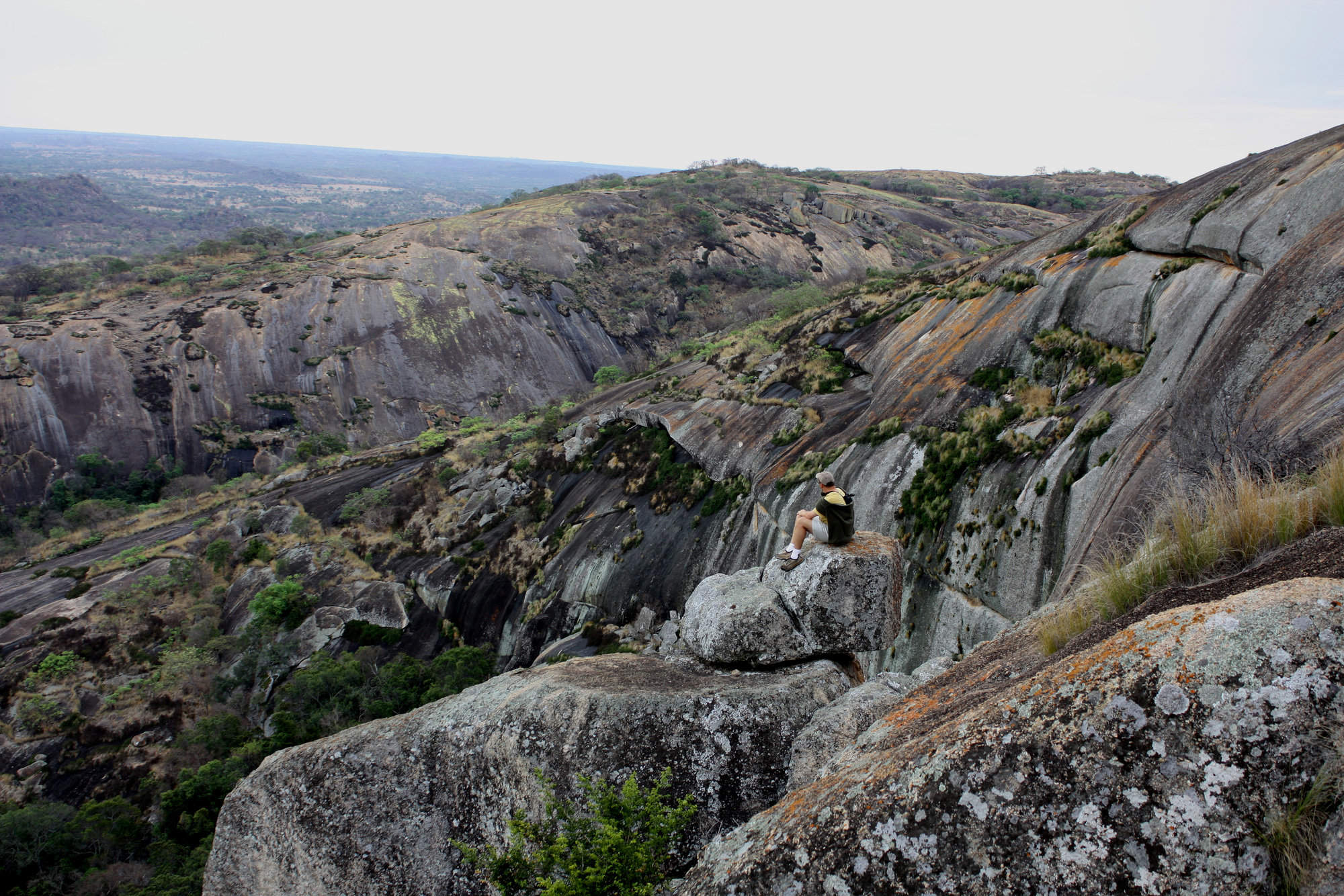
Visiting Matobo, Hwange
US$5,270 - US$8,560 per person


Great Egret Safari
12 days • 4 locations • 3 country
MAUN AIRPORT TO VICTORIA FALLS AIRPORT
A wonderfully varied adventure to Botswana and Zimbabwe combining three fantastic safari areas, a luxury river cruise and the mighty Victoria Falls.
Visiting Caprivi Strip, Okavango Delta and 2 other areas
US$9,180 - US$17,080 per person
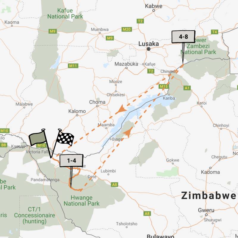
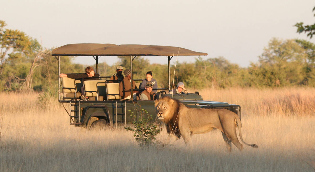
Lion Safari
7 days • 2 locations • 1 country
VICTORIA FALLS AIRPORT TO VICTORIA FALLS AIRPORT
The classic Expert Africa Zimbabwe safari. Combining two of our favourite independent camps, each run by celebrated guides, exciting game drives, world-class walks and canoeing in premier wildlife watching destinations.
Visiting Mana Pools, Hwange
US$6,950 - US$9,830 per person


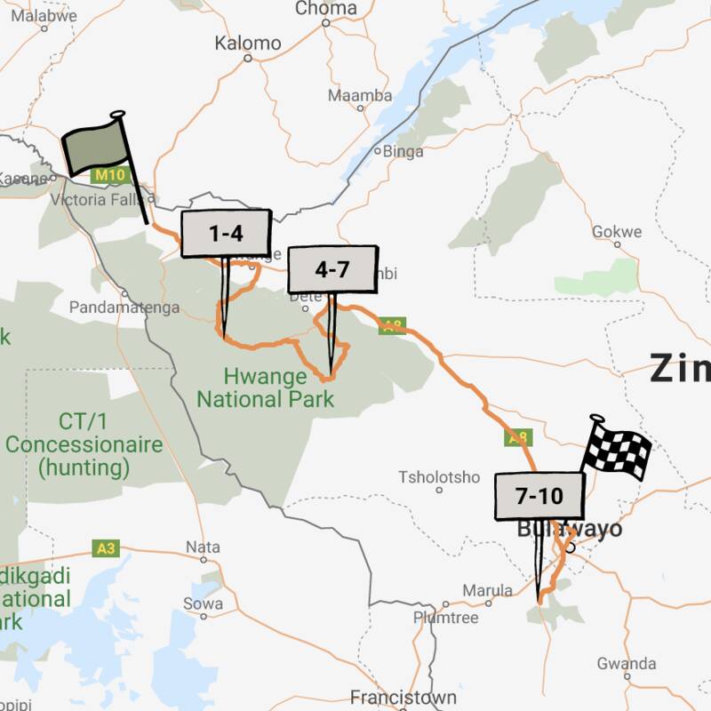
Klipspringer Safari
8 days • 3 locations • 1 country
VICTORIA FALLS AIRPORT TO BULAWAYO AIRPORT
An outstanding-value Zimbabwe safari exploring Victoria Falls and two contrasting locations in western Zimbabwe – Hwange and the Matobo Hills – giving you a real feel for Zimbabwe, its people and wildlife.
Visiting Matobo, Hwange and 1 other area
US$2,890 - US$3,570 per person
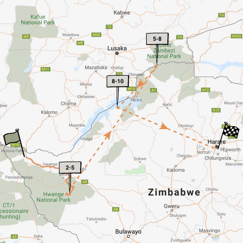
Grysbok Safari
9 days • 3 locations • 1 country
VICTORIA FALLS AIRPORT TO HARARE AIRPORT
Discover three of Zimbabwe’s iconic destinations in style, flying between Hwange, Mana Pools and Lake Kariba on this varied safari adventure staying at authentic yet luxurious camps.
Visiting Hwange, Matusadona and 1 other area
US$8,990 - US$14,380 per person


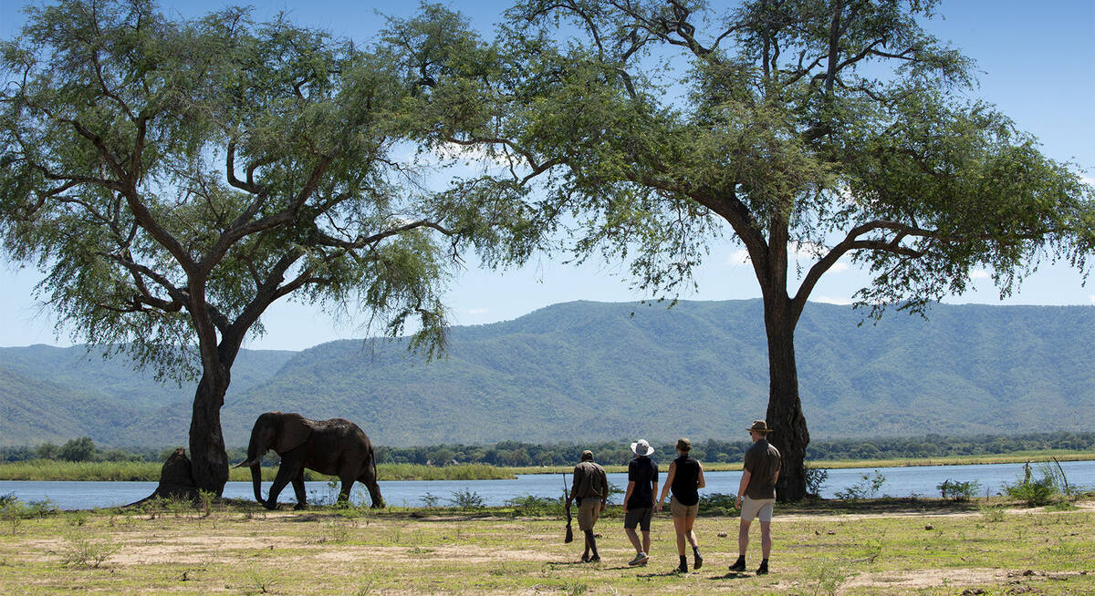
Buffalo Safari
9 days • 3 locations • 1 country
HARARE AIRPORT TO VICTORIA FALLS AIRPORT
Combining Zimbabwe’s Mana Pools and Hwange national parks with stays at intimate six-tent safari camps offering excellent walking, canoeing and game drives. Superb wildlife viewing and a real wilderness-focused experience.
Visiting Mana Pools, Hwange
US$8,040 - US$11,910 per person


Pied Kingfisher Safari
9 days • 3 locations • 1 country
VICTORIA FALLS AIRPORT TO HARARE AIRPORT
A luxury safari combining three of Zimbabwe's top highlights. The trip uses some of the finest safari camps in Zimbabwe and is perfect for a family or small group.
Visiting Victoria Falls, Hwange and 1 other area
US$7,000 - US$10,780 per person
Nyala Safari
10 days • 3 locations • 1 country
VICTORIA FALLS AIRPORT TO VICTORIA FALLS AIRPORT
A superb luxury safari in iconic Hwange and Mana Pools national parks, staying in a pair of the finest safari camps in Zimbabwe, with a grand finale at Victoria Falls
Visiting Mana Pools, Hwange and 1 other area
US$10,150 - US$15,050 per person

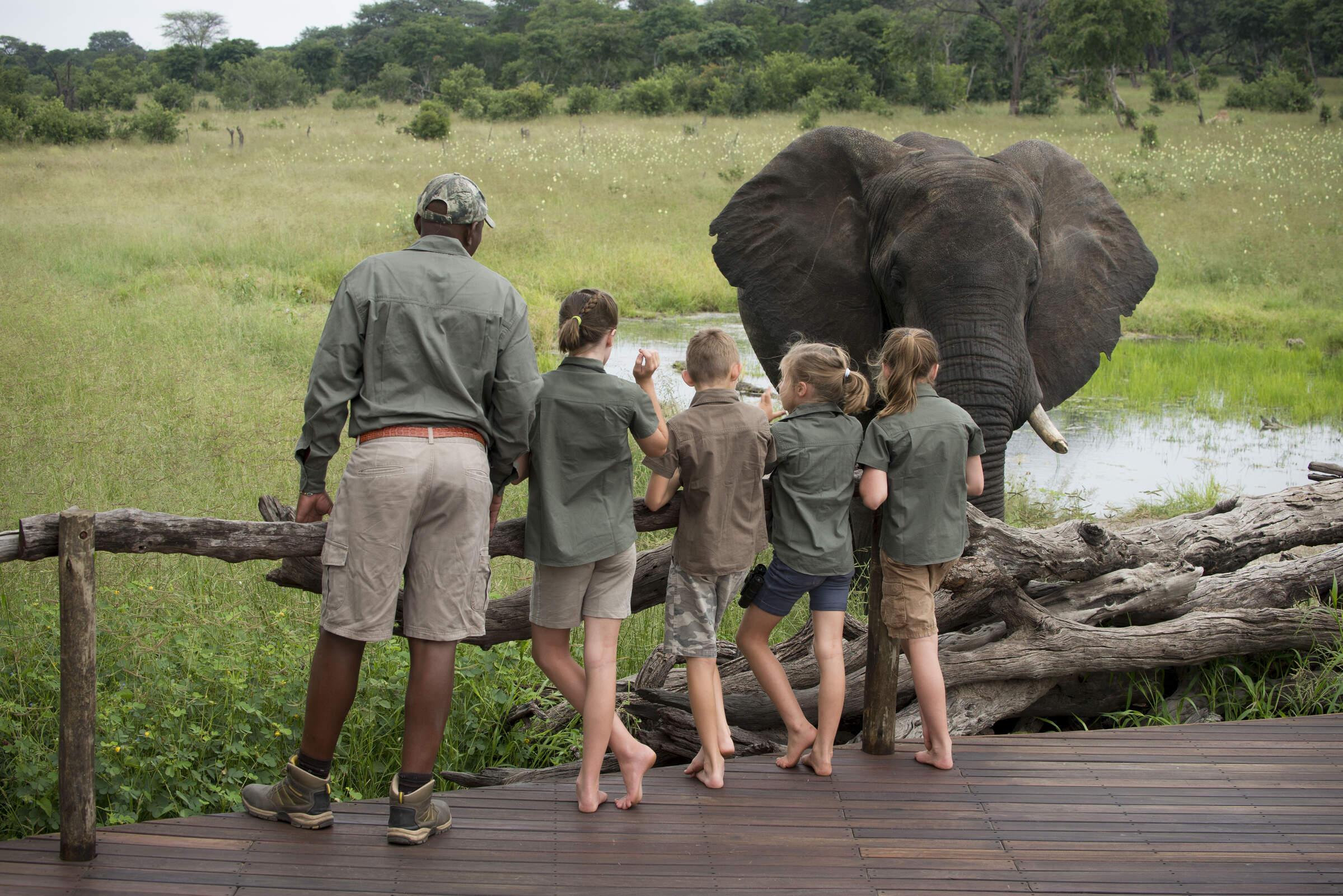
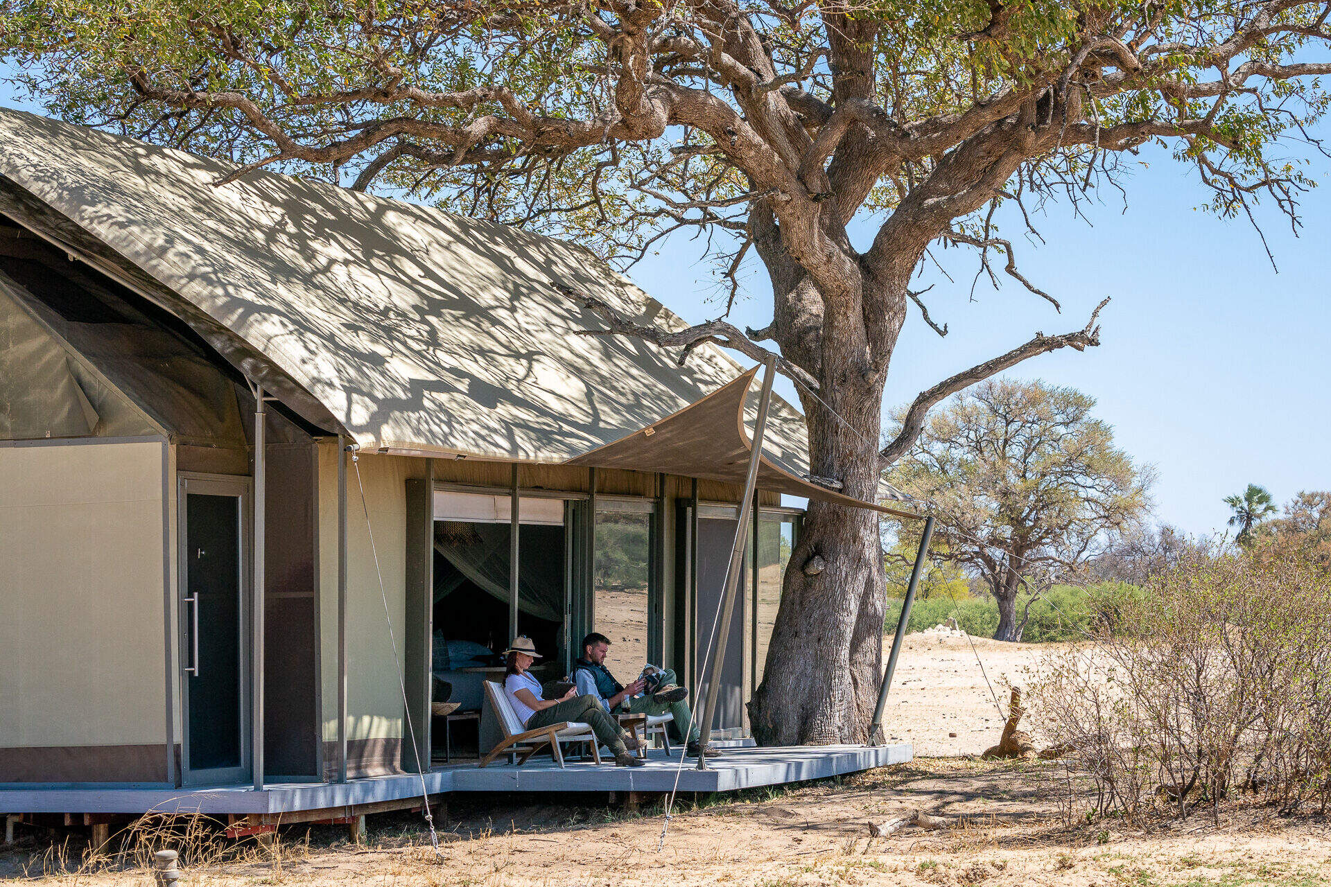
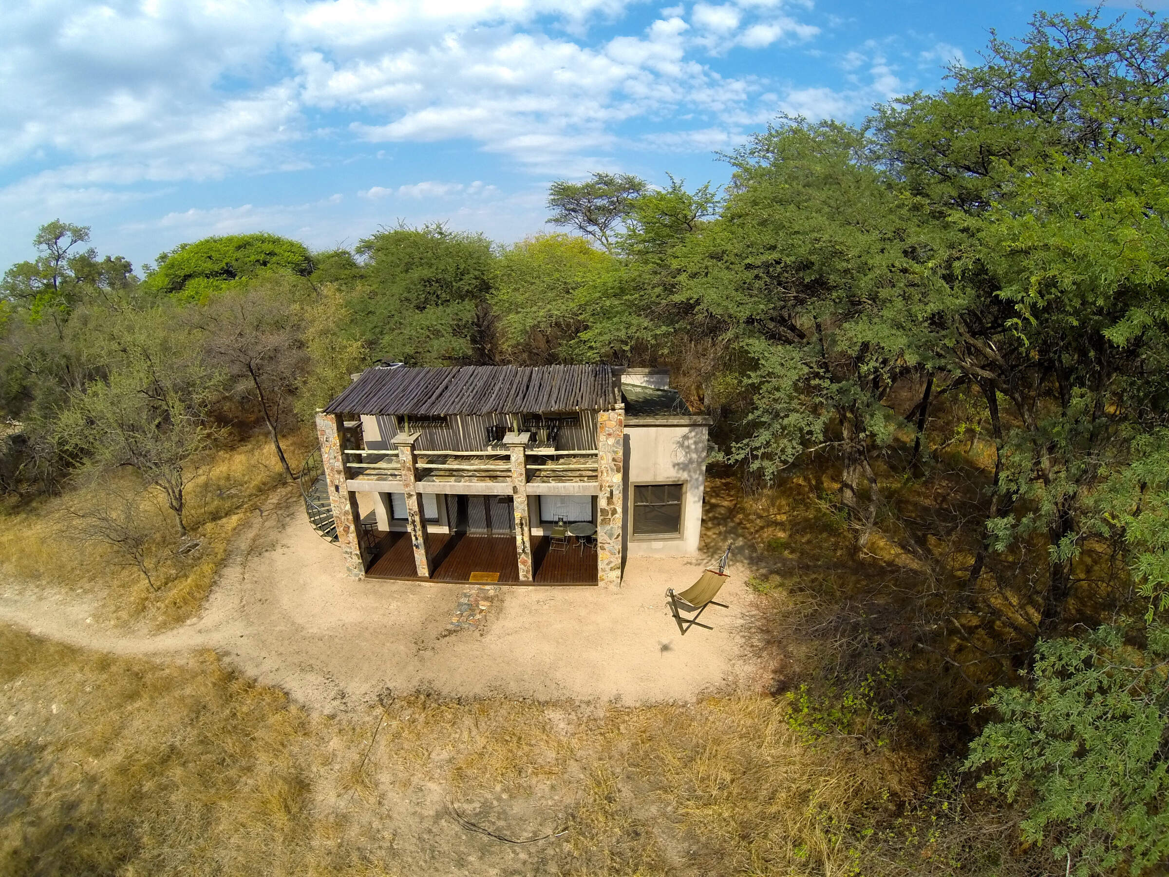
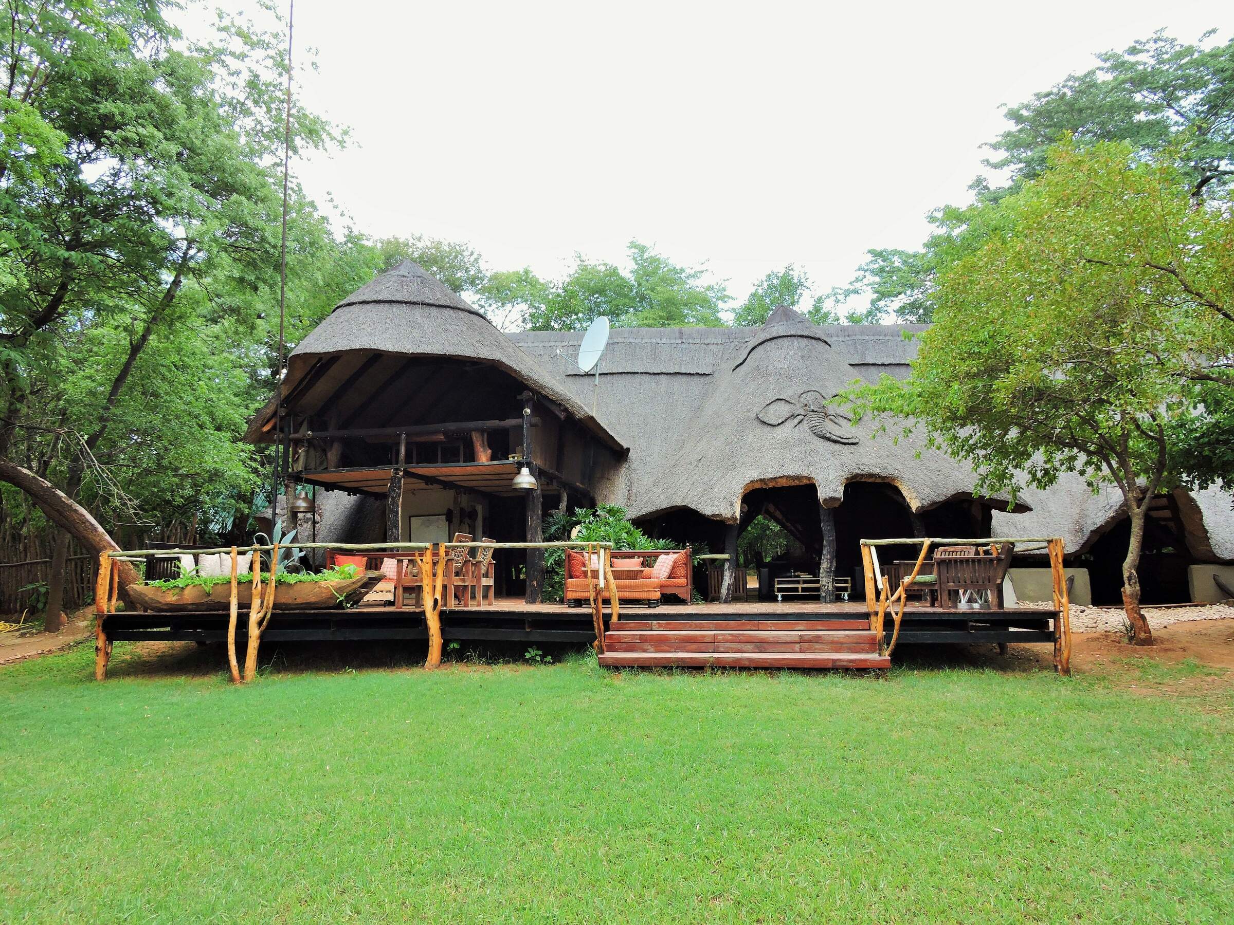
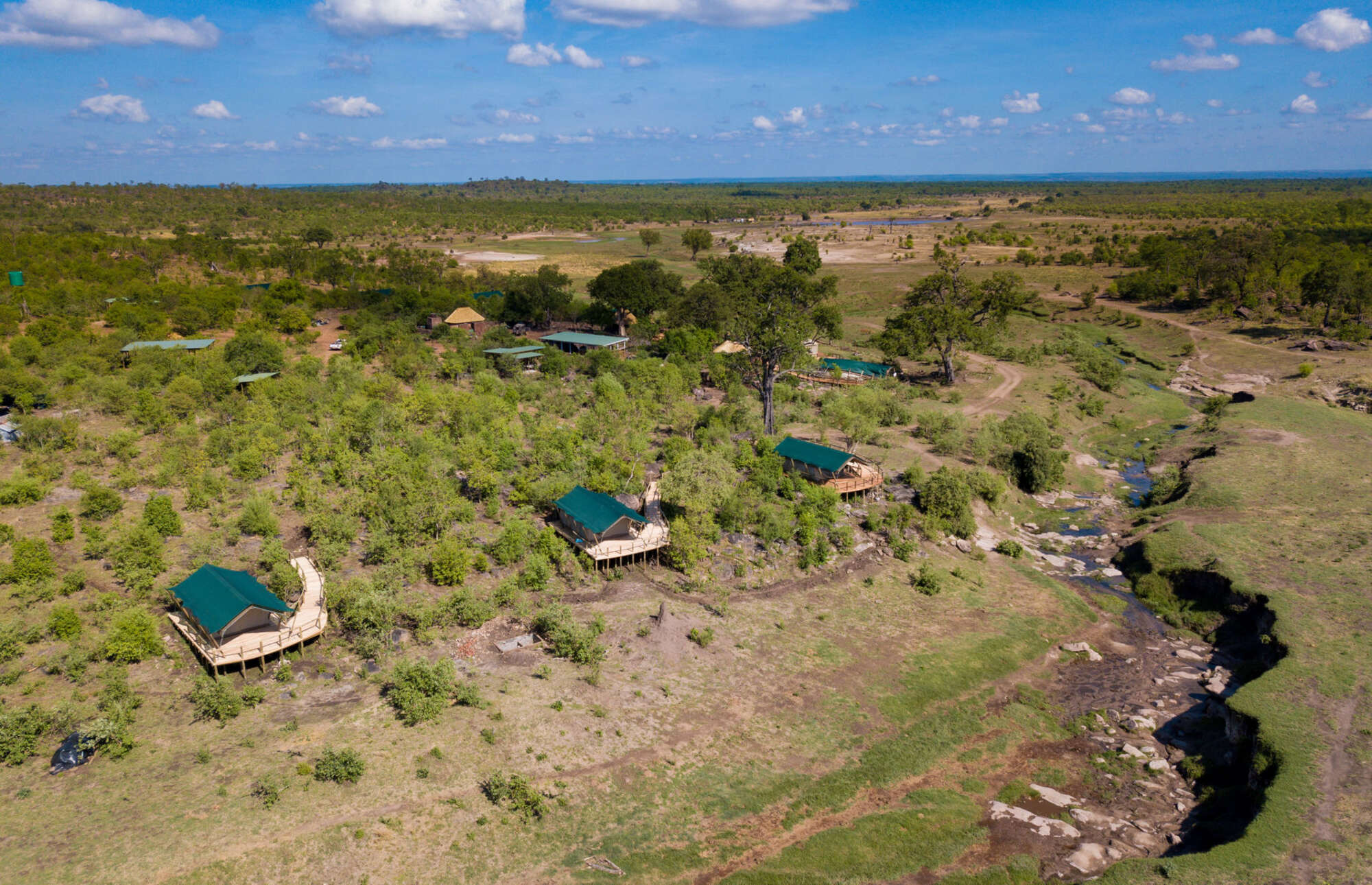
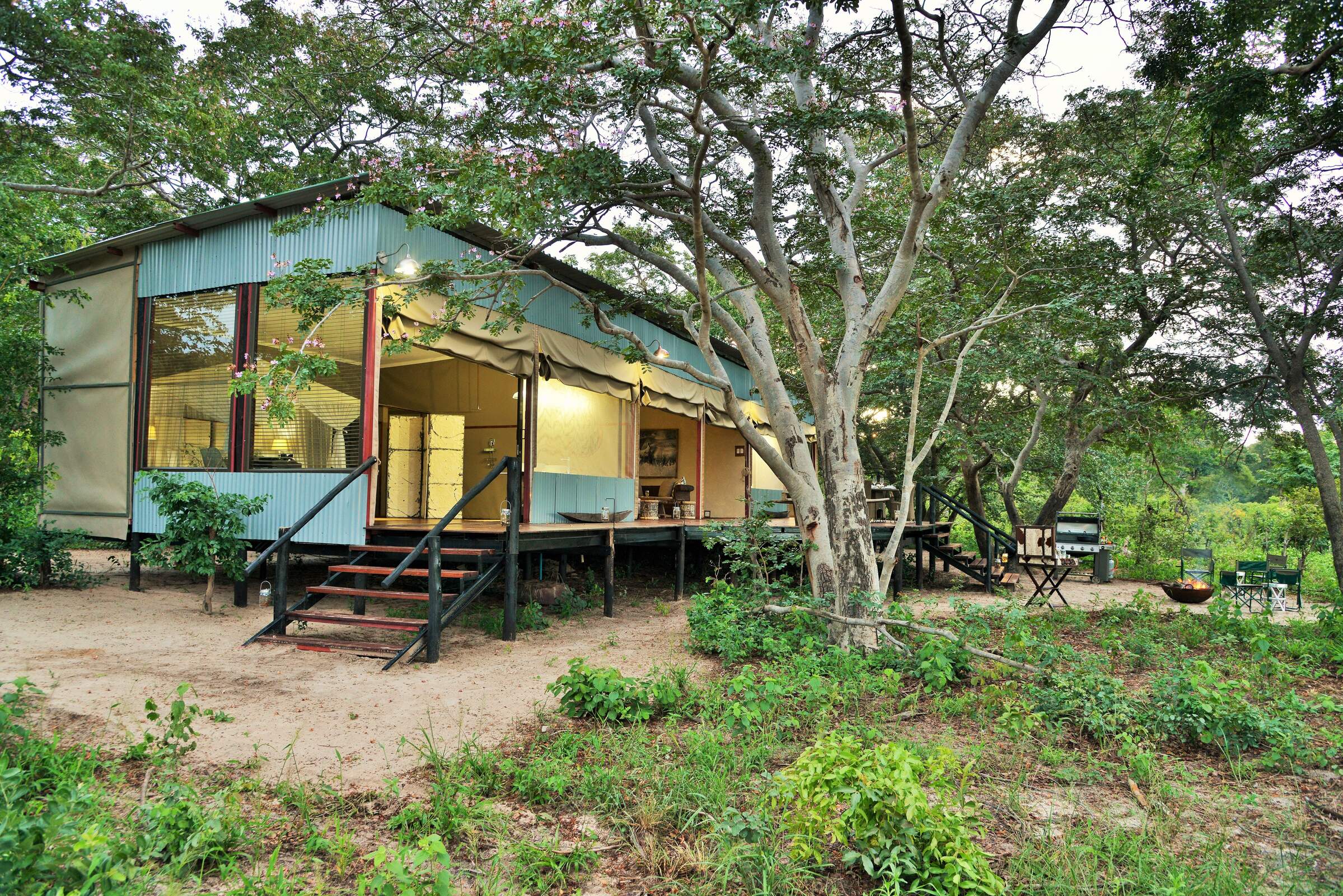
Where to stay in Hwange
Our suggestions for safari camps in Hwange National Park
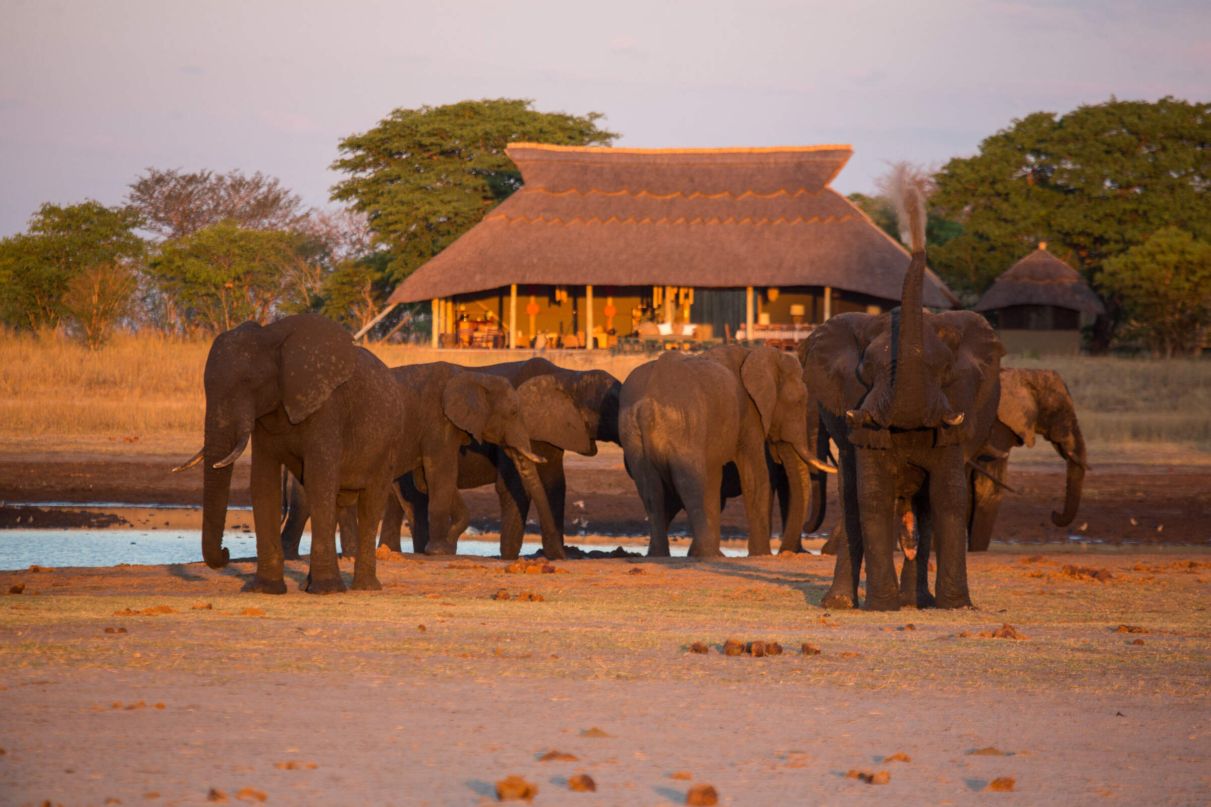
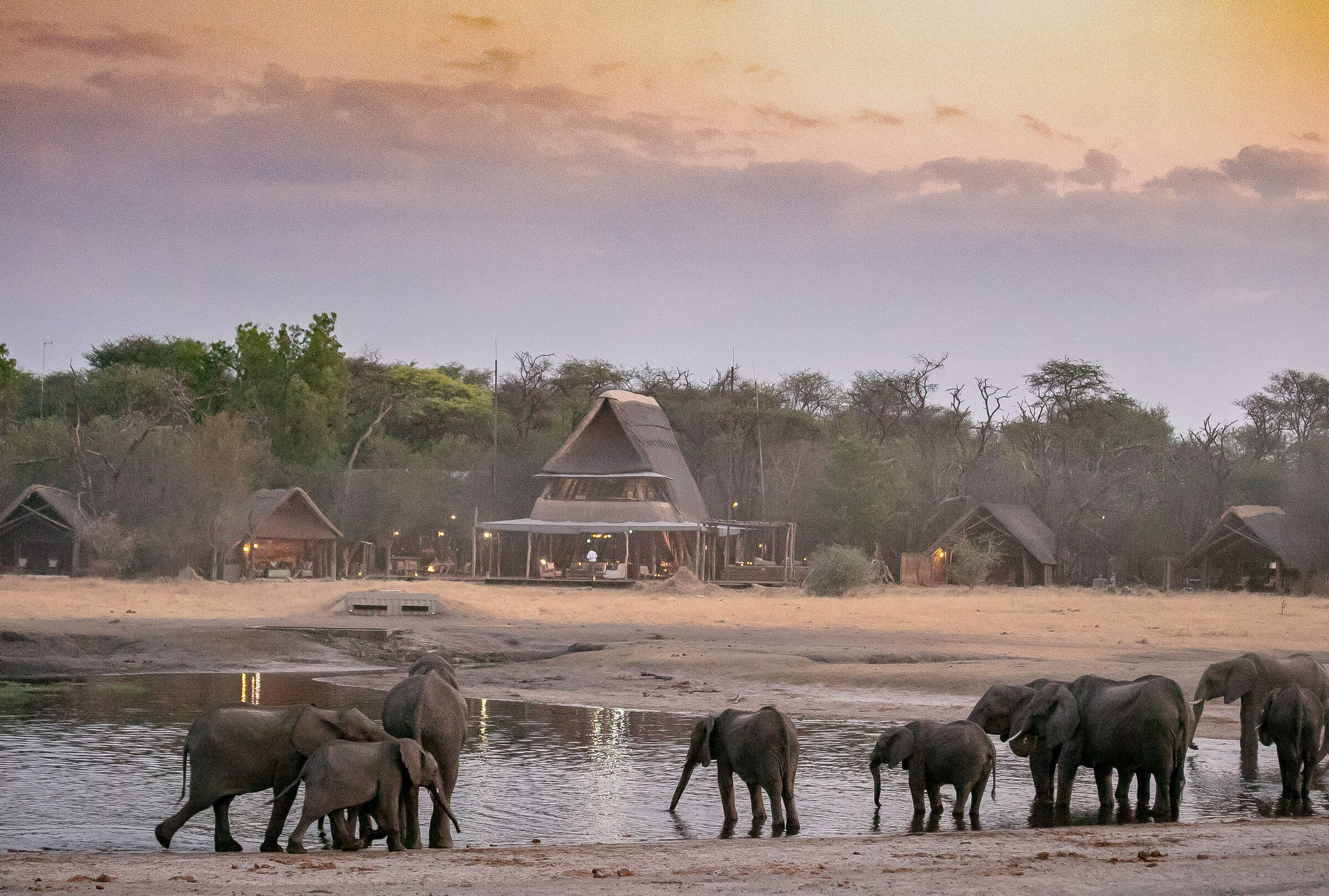
Camp Hwange
Overlooking a waterhole in a remote part of Hwange National Park, Camp Hwange offers great guiding in a pristine wilderness at reasonable prices.
Somalisa Camp
Somalisa is a luxurious, yet remote, safari camp in Hwange National Park, offering walking safaris and game drives.
The Hide
Located in a small, private concession, The Hide is a relaxed and comfortable camp offering submerged hides and great family accommodation.

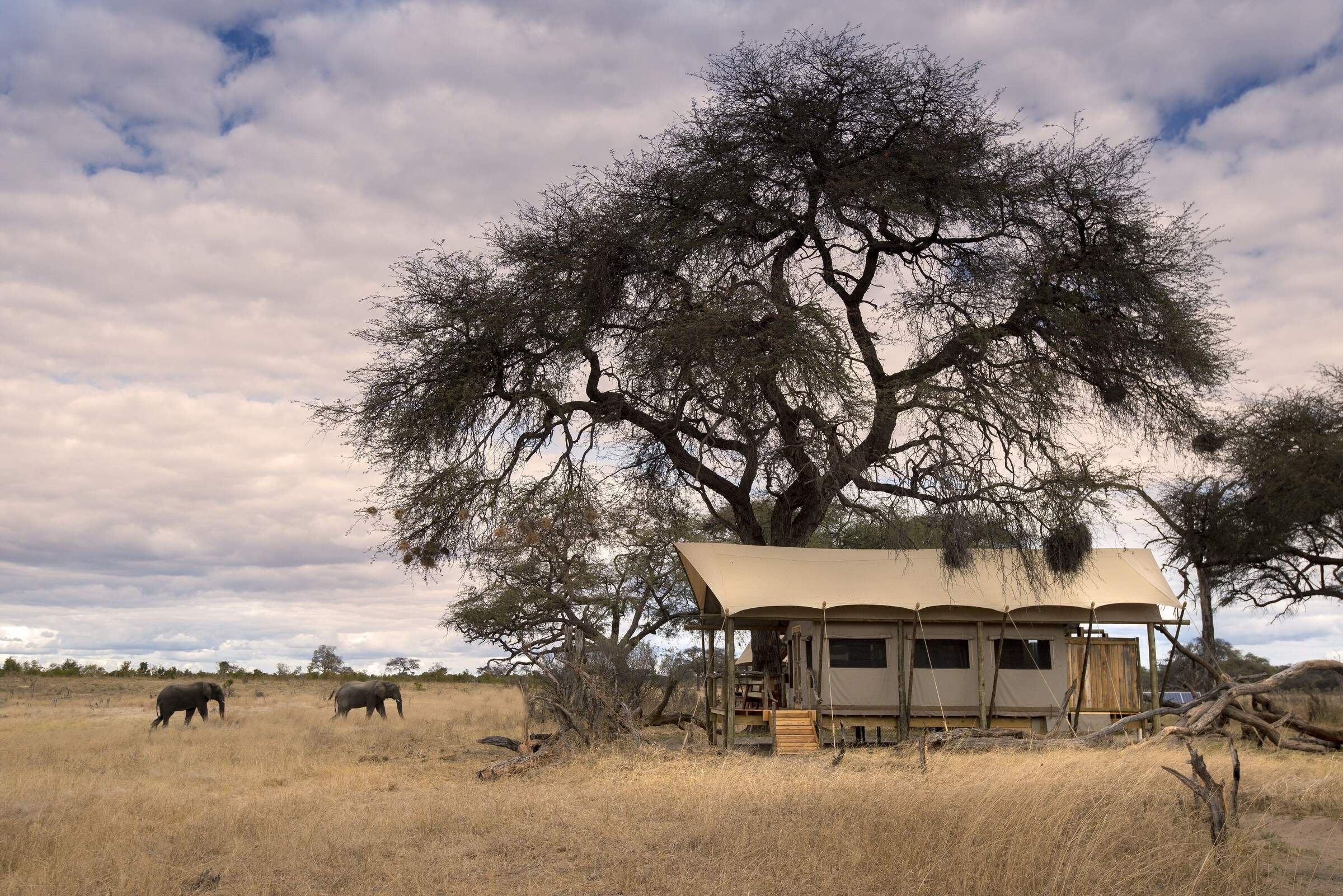
Hwange Bush Camp
Hwange Bush Camp is a small seasonal camp offering comfortable tents, great food, and superb guiding, and is often used by exclusive groups.

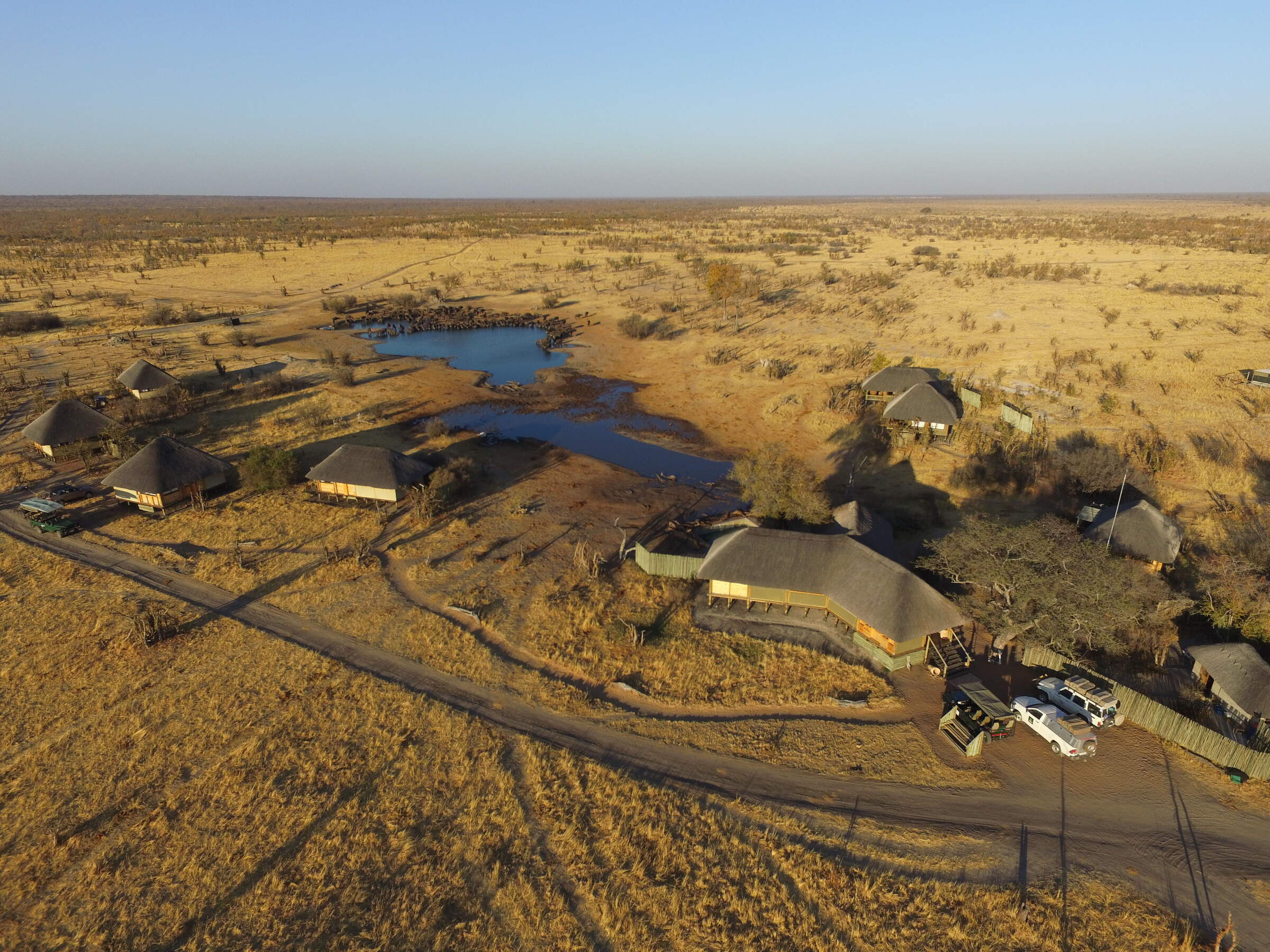
Little Makalolo Camp
Tucked away in Hwange National Park overlooking a waterhole, Little Makalolo Camp combines top guiding with excellent wildlife watching.
Somalisa Expeditions
A simple but stylish camp, Somalisa Expeditions sits in the heart of Hwange National Park, offering walking safaris and game drives.

Davison's Camp
Within the Linkwasha Concession, Davison's Camp offers superb value for money, morning walking safaris and spot-lit drives after dark.
Nehimba Lodge
Nehimba is a comfortable, good-value camp in a remote area of Hwange National Park, teeming with wildlife.

Bomani Tented Lodge
Bomani is a down-to-earth lodge with a range of activities in a remote region of western Zimbabwe, adjacent to Hwange National Park.

Verney's Camp
Verney's Camp is one of the newest offerings in Hwange, located in the wildlife rich, open landscape in the south-eastern section of the park.
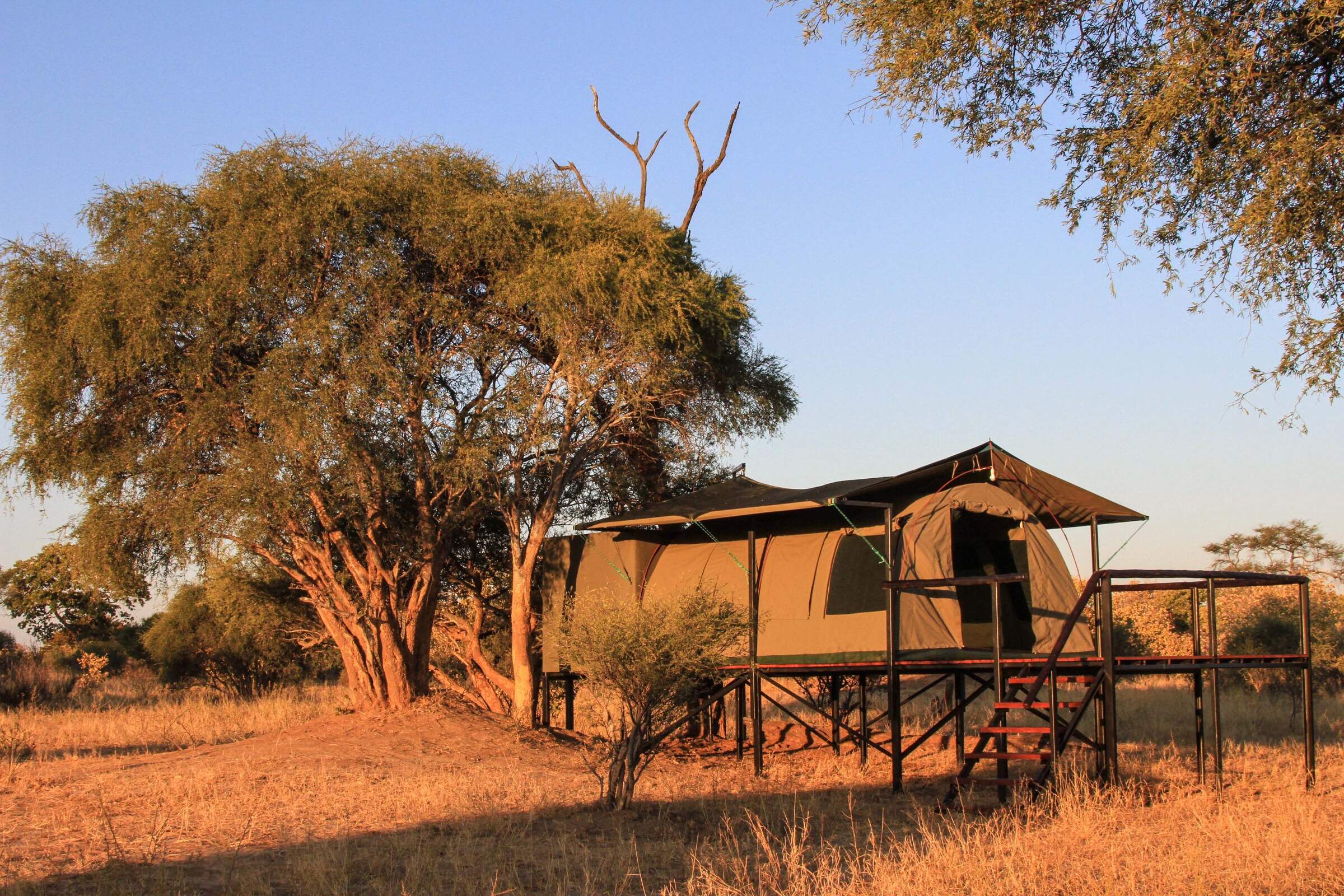
Jozibanini Camp
Remote and rugged, Jozibanini is one of the most remote camps in Zimabwe's largest National Park. Stay here for a real wilderness experience.

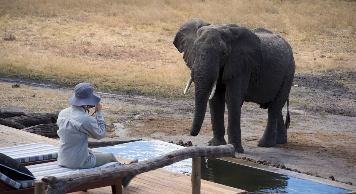
Khulu Bush Camp
Just outside Hwange National Park, Khulu Bush Camp features a waterhole popular with wildlife, especially elephants and offers excellent value for money.
Somalisa Acacia
Somalisa Acacia is a family-friendly, yet remote and luxurious safari camp in Hwange National Park.
Linkwasha Camp
In its own private concession within Hwange National Park, Linkwasha offers excellent wildlife sightings and luxurious surroundings.
Camelthorn
Camelthorn is a stylish lodge with a range of activities in a remote region of western Zimbabwe, adjacent to Hwange National Park.
Ivory Lodge
Just outside Hwange National Park, the small Ivory Lodge is a great place to see large herds of elephant as well as smaller plains game.
Deteema Springs Camp
Nestled deep in Hwange National Parks rugged northern sector, Deteema Springs Camp promises visitors an authentic bush amp experience.

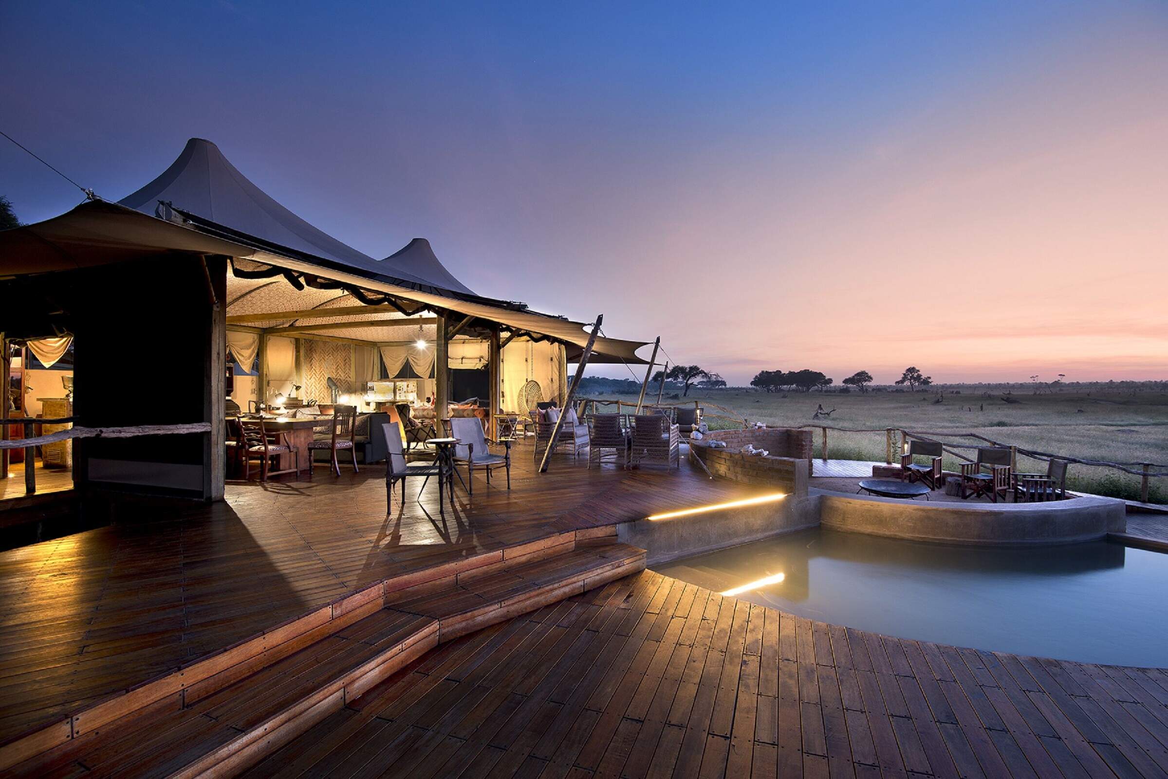
Stimela Star
The Stimela Star is a luxury overnight train that starts in Victoria Falls before making it's way down to Hwange National Park where you can start your safari.

Daka Camp
One of the more remote camps in Hwange National Park, Deka Camp sits almost on the border with Botswana.

Sable Valley Lodge
Set on the 12km Dete Vlei, the recently upgraded and family-friendly Sable Valley sits in a private reserve within easy reach of Hwange National Park.
Khulu's Retreat
Just outside Hwange National Park, Khulu's Retreat is an exclusive private villa and is a great place to spoil yourself on a safari in Zimbabwe.

Elephant's Eye
In a private concession just outside Hwange National Park, the comfortable Elephant's Eye overlooks a pan and waterholes.
Our travellers’ wildlife sightings in Hwange
This is their success for sightings in Hwange National Park.
Click on a species for more detail. How we work this out.

98% success

97% success

94% success

92% success

83% success

78% success

71% success

65% success

56% success

51% success

47% success

42% success

29% success

26% success

11% success

9% success

1% success

1% success

0% success

0% success