Maps of Namibia: two styles
See Namibia in different ways, with two different styles of maps: a Google map and a curated Reference map.
Namibia is vast – and its low rainfall makes much of its geology exceptionally clear. Zoom into the areas and then the lodges on our maps for some amazing views of what the country is really like!
At this scale, note the apricot-orange in the south-west: the Namib Desert. Then double-click a few times to zoom in closer – and see the extraordinary patterns of the dunes themselves. Then look at the sharp, curved northern edge of the desert, where the Kuiseb River halts the march of the dunes northwards.
Double-click near “Etosha National Park”, and immediately you’ll spot the huge saltpan at the heart of Etosha.
Click onto any of the markers, and follow the links in the bubbles, for maps of these areas with precise locations for the various safari camps and lodges.
Our map of Namibia
This a sketch map of Namibia – showing its key road arteries, national parks, towns, and areas of interest for visitors.
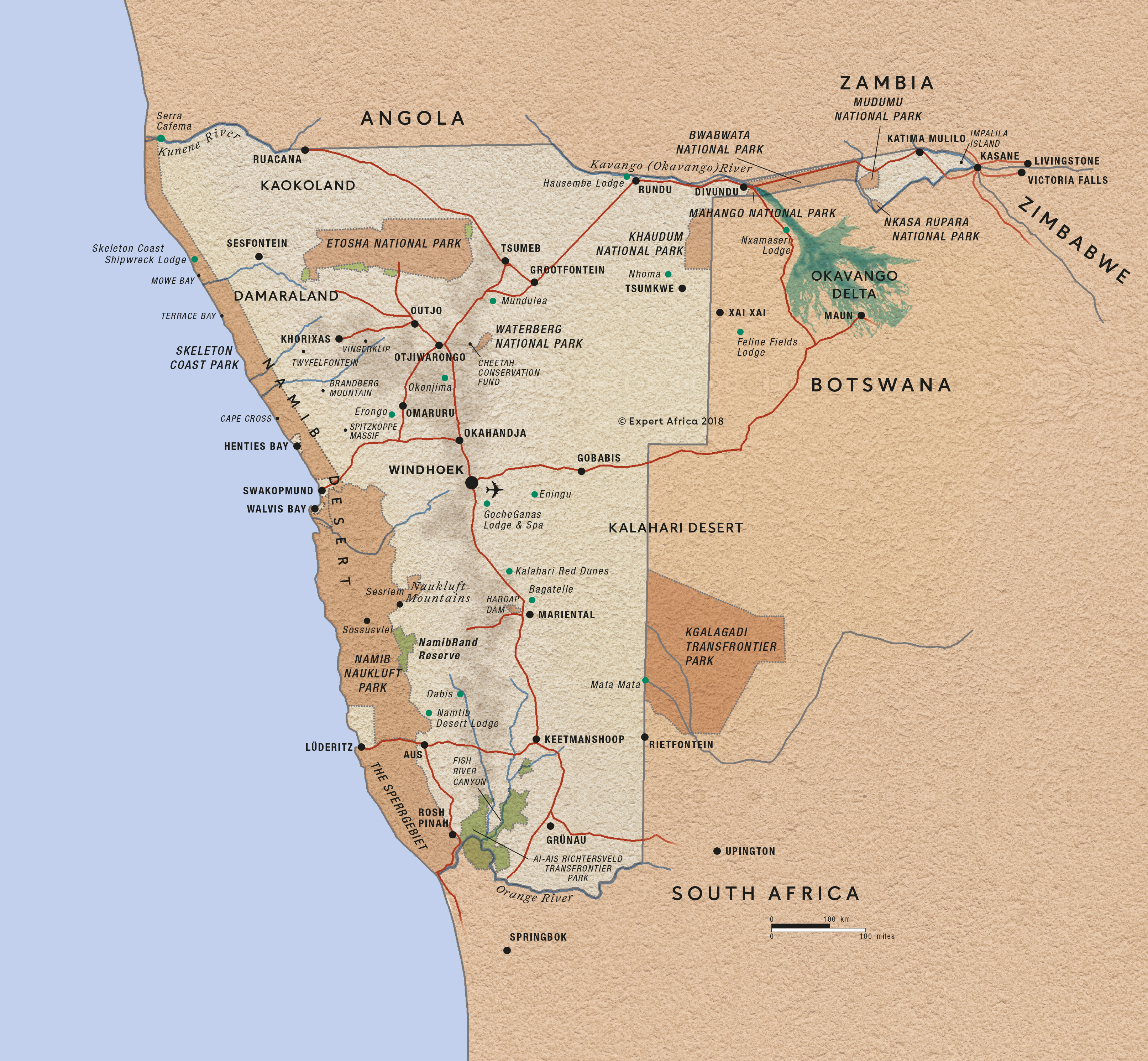
Google map of Namibia
Explore Namibia's huge diversity with this Google map; click the 'satellite' button (top-left of the map) to get topographical view showing the sands of the deserts clearly. See our Reference map here.
Things to see on this Namibia map
Namibia is a vast country – and its low rainfall means that much of its geology is amazingly visible. Zoom into the areas and then the lodges on our maps for some really amazing views of what the country is really like!
At this scale – note the apricot-orange in the south-west of the country: it's the Namib Desert. Then double-click a few times on them to zoom in closer – and see the amazing patterns of the dunes themselves. Move to the north-east of this dune area, and see the inroads that the Tsondab and Tsauchab have made into the dunes. Look at the sharp, curved northern edge of the desert – where the Kuiseb River halts the march of the dunes northwards.
Double-click anywhere near the 'Etosha National Park' marker to see a little closer, and immediately spot the huge saltpan at the heart of Etosha.
Click onto any of the markers, and follow the links in the bubbles, for maps of these areas with precise locations for the various safari camps and lodges.
Our top trips in Namibia
Here are 23 great Namibia trips to inspire you.
Chongololo Self-drive Safari
21 days • 11 locations
WINDHOEK AIRPORT TO WINDHOEK AIRPORT
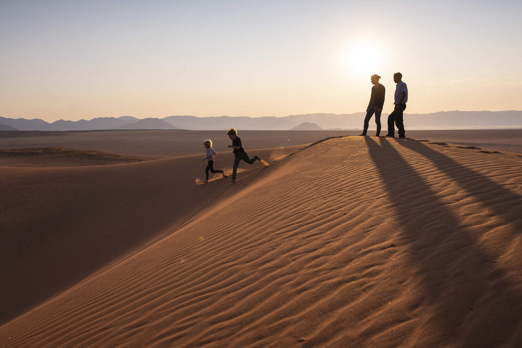
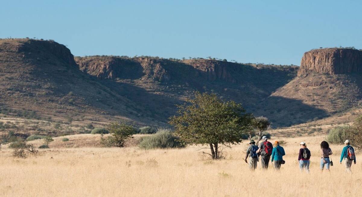
This self-drive safari focuses on the best walking experiences in Namibia. Get your boots ready for the apricot dunes of the Namib Desert and the ancient hills of Damaraland.
US$5,880 - US$7,300 per person
Hartebeest Self-drive Safari
16 days • 8 locations
WINDHOEK AIRPORT TO WINDHOEK AIRPORT
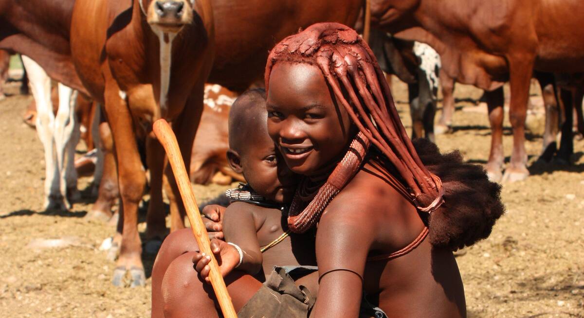
This self-drive safari focuses on the best cultural experiences in Namibia. Visit a Himba village and enjoy three days living with the San Bushmen interspersed with some excellent wildlife watching.
US$3,440 - US$4,210 per person
Rock Hare Self-drive Safari
20 days • 12 locations
WINDHOEK AIRPORT TO VICTORIA FALLS AIRPORT
An in-depth look at Namibia from the Namib Desert to the Caprivi, with additional stops in Botswana and Victoria Falls. This three-week adventure includes an unrivalled mix of environments and is great value.
US$5,140 - US$7,320 per person
Caracal Self-drive Safari
14 days • 8 locations
WINDHOEK AIRPORT TO WINDHOEK AIRPORT
The quintessential Namibian self-drive adventure exploring the highlights from Sossusvlei and the Namib Desert to Damaraland’s wilderness and a safari in Etosha. A great mix of accommodation and excellent value.
US$2,330 - US$3,940 per person
Dune Lark Fly & Drive Safari
14 days • 8 locations
WINDHOEK AIRPORT TO WINDHOEK AIRPORT
A combination fly-in self-drive exploration of Namibia, with quick, easy and scenic flights in and out of Sossusvlei before a classic road trip adventure of the country’s rugged north.
US$4,420 - US$5,680 per person
Brown Hyena Self-drive
14 days • 8 locations
WINDHOEK AIRPORT TO WINDHOEK AIRPORT
The perfect trip for those who want to mix the adventure and freedom of a self-drive with some of our favourite luxury camps in Namibia and a great mix of activities.
US$6,030 - US$7,720 per person

Quiver Tree Self-drive Safari
14 days • 7 locations
WINDHOEK AIRPORT TO WINDHOEK AIRPORT
An offbeat Namibian self-drive adventure exploring the epic Fish River Canyon and fascinating Kolmanskop ghost town in the south, before turning north via the classic highlights of Sossusvlei, Swakopmund and Damaraland.
US$2,320 - US$3,200 per person
Black Wildebeest Self-drive Safari
19 days • 10 locations
CAPE TOWN AIRPORT TO WINDHOEK AIRPORT
Journey from South Africa’s cosmopolitan Cape Town to central Namibia’s Okonjima Nature Reserve during this self-driven safari. The route passes through a stunning variety of landscapes, offering access to this beautiful continent’s rich diversity.
US$3,220 - US$3,700 per person
Cape Fox Guided Safari
13 days • 7 locations
WINDHOEK AIRPORT TO WINDHOEK AIRPORT
A classic clockwise circuit around Namibia’s northern highlights with a private guide and vehicle. We can’t think of a better way to see more in this timeframe.
US$8,190 - US$10,440 per person
Black-faced Impala Guided Safari
13 days • 6 locations
WINDHOEK AIRPORT TO WINDHOEK AIRPORT
A unique mix of luxury and adventure in our original, and perhaps most varied, destination on a privately guided Namibian overland safari. Perfect for families, friends or couples travelling together.
US$4,760 - US$6,270 per person
Namibia fact file
Useful information to help you prepare for your trip in Namibia

Flights to Namibia
Advice on how to get to Namibia

LGBT travel in Namibia
Attitudes, the law & our experiences

Namibia general info
Essential travel info on Namibia

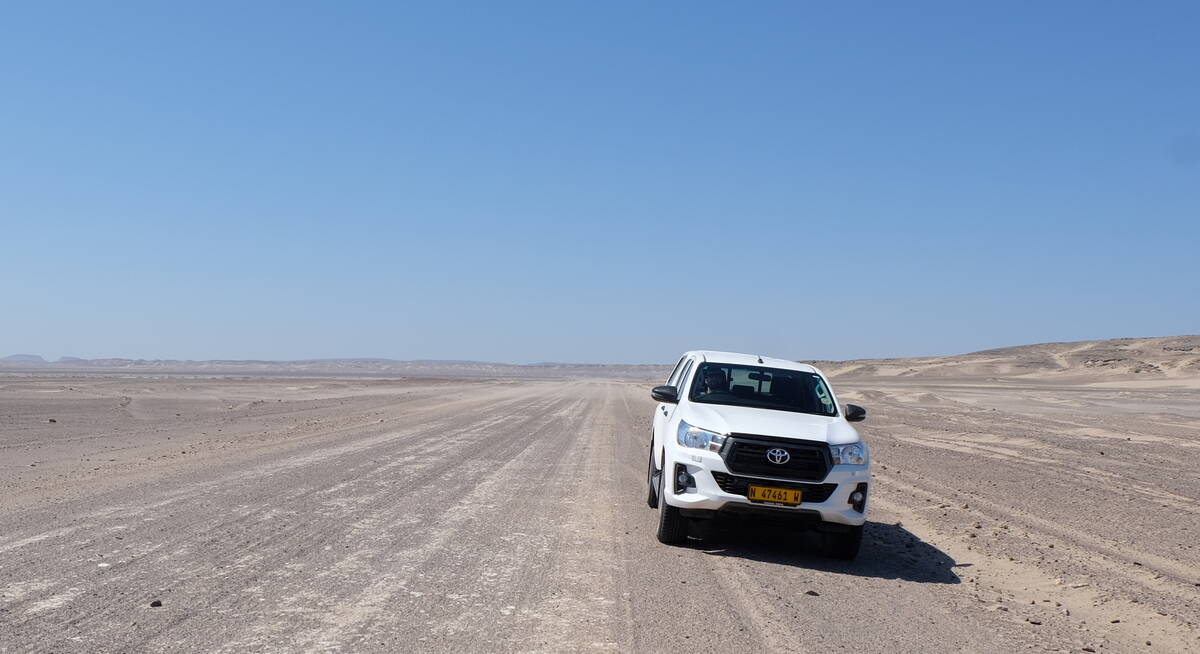
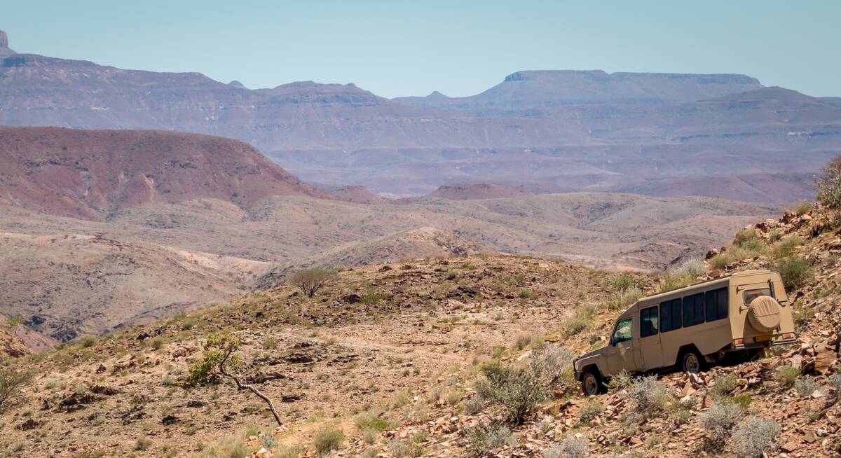
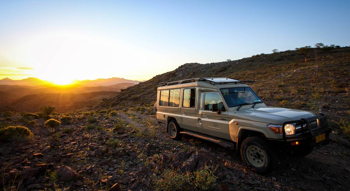
Self-drive - car types
Which car type to rent

Self-drive - driving tips
Tips to make driving in Namibia easier

Self-drive - hire groups
The different car hire group to rent

Self-drive - road types
Including pictures & descriptions of roads

Tipping in Namibia
Expectations & guidelines for tipping

Wildlife - cats & dogs
Including cheetah, lion, leopard, jackal & hyena

Wildlife - large antelope
Including sable, eland & blue wildebeest

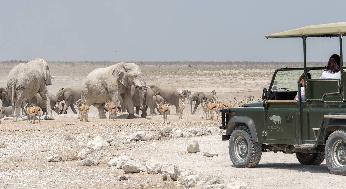
Wildlife - large herbivores
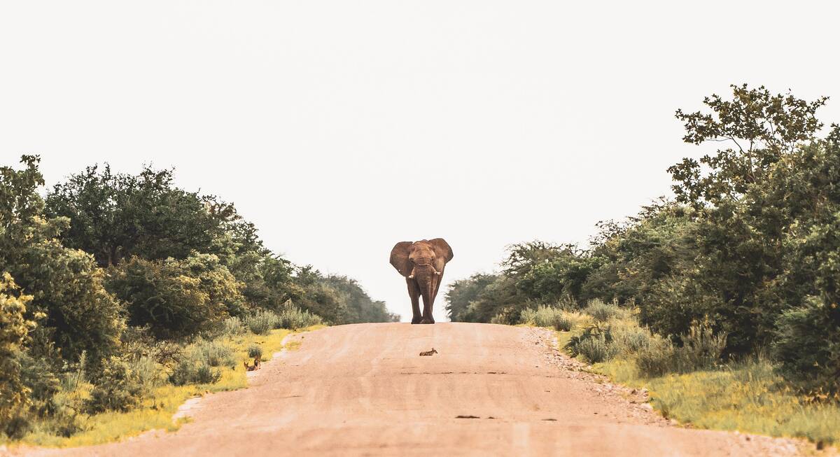
Including elephant & black rhinos

Wildlife - smaller antelope
Including klipspringer & common duiker

Wildlife - primates
including Chacma baboon & Lesser bushbaby

Wildlife - small mammals
Including banded mongoose & pangolin

Weather & climate
The best time to visit Namibia
