Maps of the main regions for a Tanzania safari
Two different maps can help you to understand Tanzania:The GOOGLE MAP shows Tanzania's remarkable landscape, spanning 900,000km2 from vast grasslands to its extensive coastline, whilst our REFERENCE MAP clearly outlines the national parks.
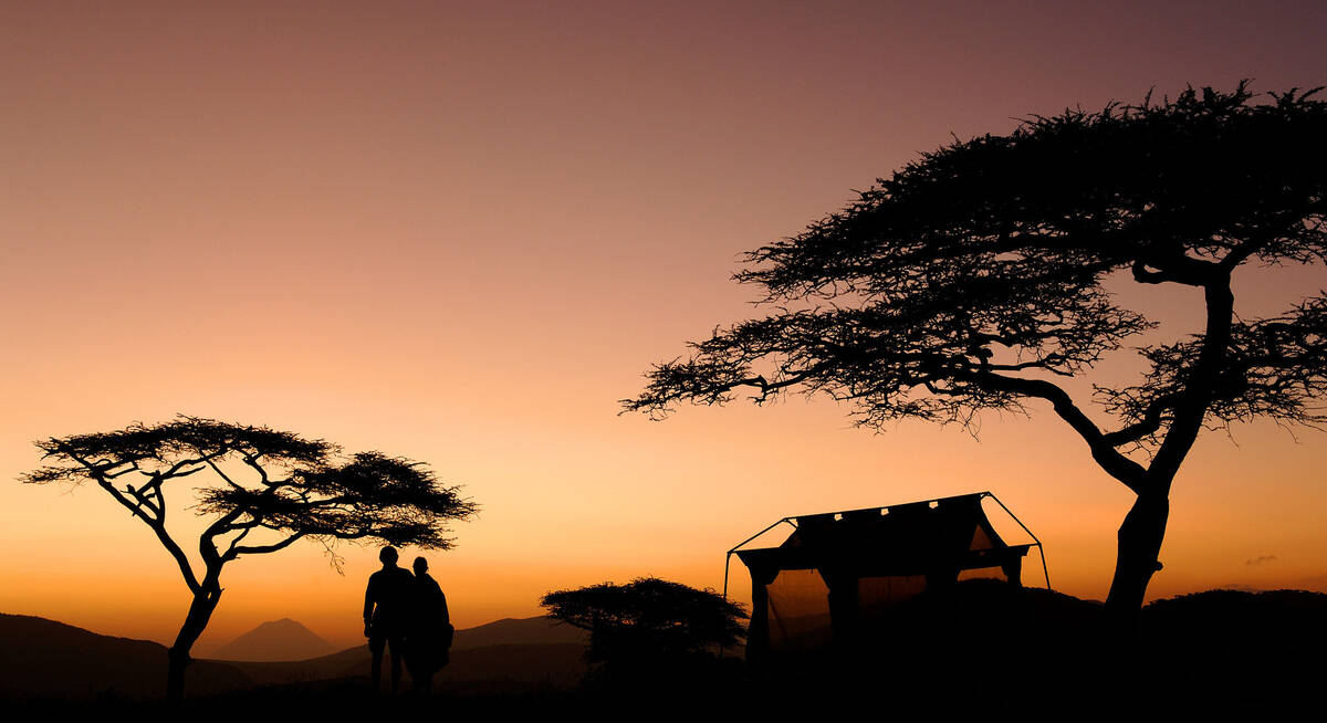
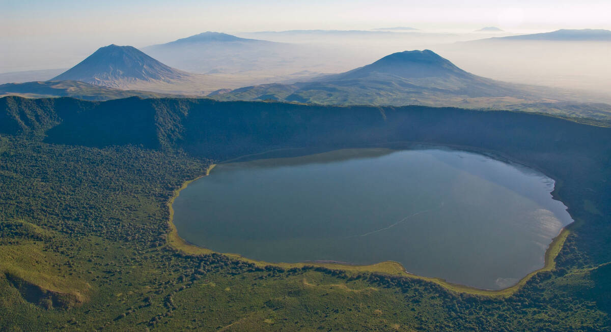
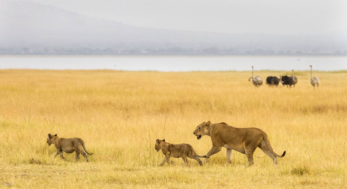
In northern Tanzania, the remarkable wildlife sanctuary of the Ngorongoro Crater rises beside a huge crack in the earth’s crust, the Rift Valley Escarpment, which splits the landscape and bounds the soda-lakes of Lake Manyara and Lake Natron. Nearby, at Olduvai Gorge, the same geology protects some of the earliest hominin fossils ever discovered.
Southern Tanzania’s two main parks are far apart. The flat Nyerere National Park, dominated by many waterways of the mighty Rufiji River, contrasts with the huge, rolling plateau of Ruaha National Park.
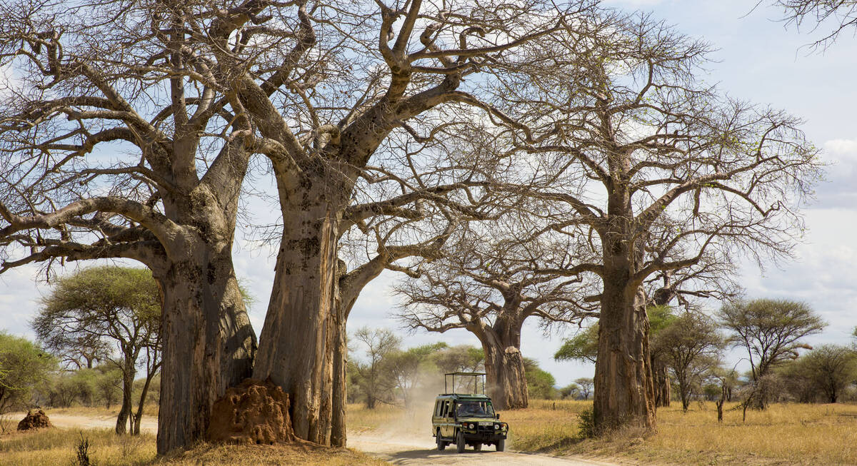
More remote still, in western Tanzania, lie the plains of Katavi National Park and the mountainous sloes of the tropical forests in Mahale Mountains , on the shores of Lake Tanganyika.
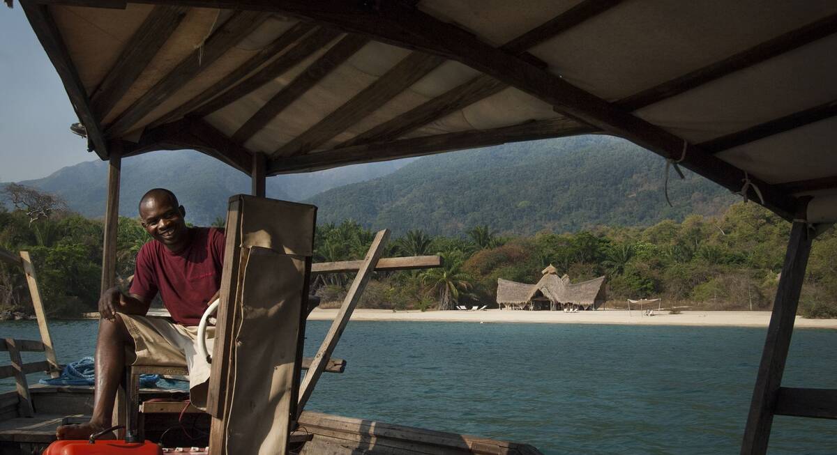
Off Tanzania’s tropical Indian Ocean coastline lie the ‘spice islands’ of Zanzibar and Pemba; the laid-back Mafia Island, and many tiny satellites, like the private islands of Fanjove, Chumbe and Mnemba.
Reference map of Tanzania - showing the main safari areas & wildlife parks
This REFERENCE MAP shows Tanzania’s main protected areas – the national parks and game reserves – plus a few of the key towns/cities which are of particular relevance to our travellers. See below for links to park maps.
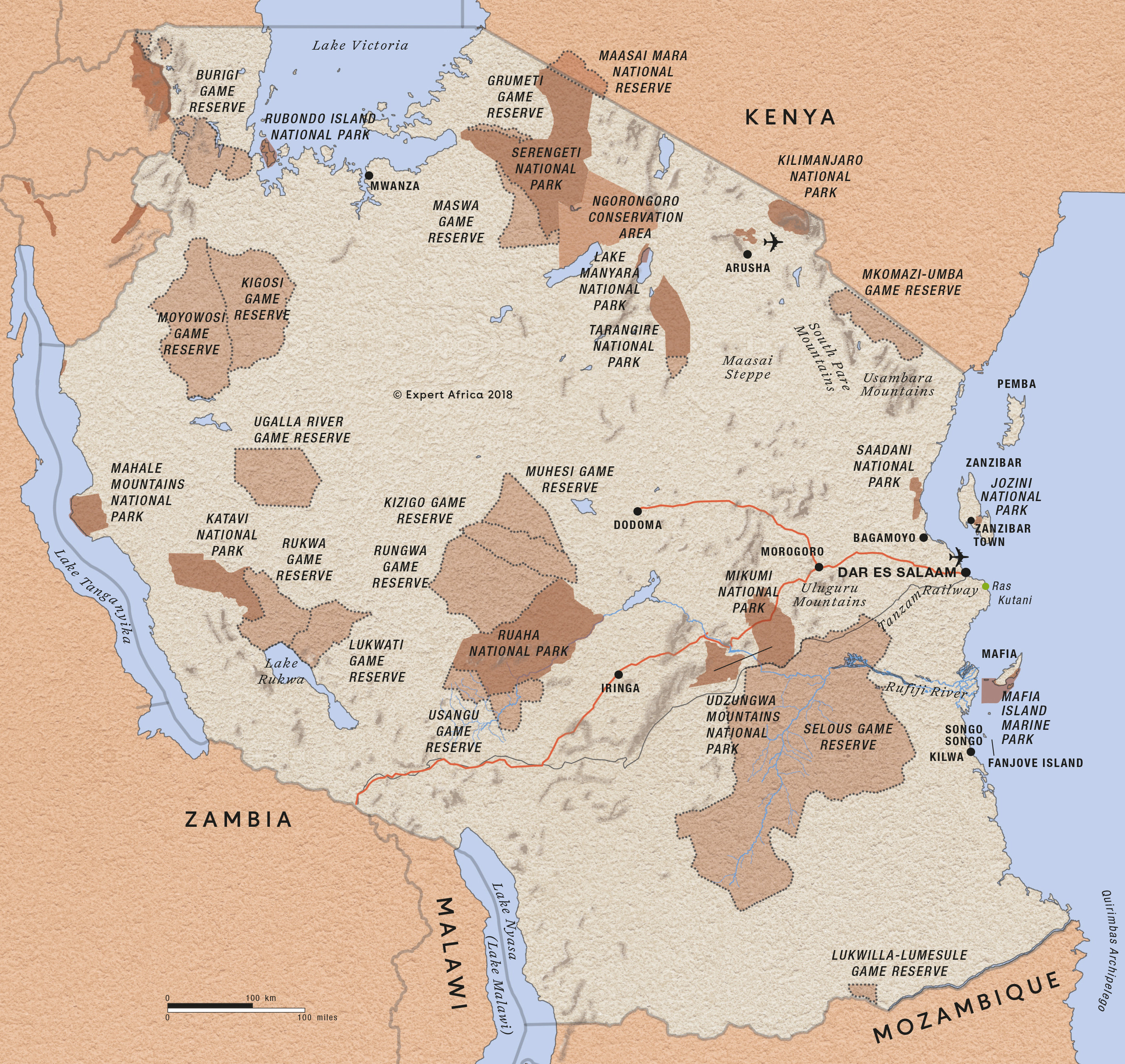
For Reference maps of the keyparks in Tanzania’s “Northern Circuit”, with the key safari lodges shown, see our map of Tarangire, map of Lake Manyara, the map of the Serengetiand the map of Ngorongoro Crater.
Similarly, for Reference maps of the main parks in the south and west of Tanzania – see our map of Nyerere National Park (which is better known by its old name, Selous Game Reserve), map of Ruaha National Park, map of Katavi and the map of Mahale Mountains .
Google map of Tanzania’s national parks
This GOOGLE MAP marks Tanzania’s main safari areas, national parks and holiday and safari areas. Mouse-over the orange pins to see their names; click for a little more info; then click the heading in the box to access our full page on that area.
For Google maps on the individual parks in Tanzania’s “Northern Circuit”, with the key safari lodges shown, see our map of Tarangire, map of Lake Manyara, the map of the Serengetiand the map of Ngorongoro Crater.
Similarly, for Google maps on the main individual parks in the south and west of Tanzania- see our map of Nyerere National Park (which is better known by its old name, Selous Game Reserve), map of Ruaha National Park, map of Katavi and the map of Mahale Mountains .
Our top safaris in Tanzania
Here are 28 great Tanzania safaris to inspire you.
Marabou Stork Fly-in Safari
13 days • 5 locations
KILIMANJARO AIRPORT TO DAR ES SALAAM AIRPORT
Four luxurious camps enable exploration of Tanzania’s north and southern regions. With a range of land- and water-based activities available throughout, decidedly comfortable accommodation and applicable long-stay discounts, this adventurous safari is excellent value.
US$16,050 - US$23,210 per person
Flufftail Guided Safari
10 days • 3 locations
KILIMANJARO AIRPORT TO KILIMANJARO AIRPORT
Stay in three unique camps as you safari across the Ngorongoro Crater and the iconic Serengeti Plains with your private guide and 4WD vehicle: a trip of comfort and autonomy, with excellent wildlife.
US$11,410 - US$16,860 per person
Firefinch Drive-Fly Safari
9 days • 3 locations
KILIMANJARO AIRPORT TO KILIMANJARO AIRPORT
Enjoy a combination of privately guided and shared game drives during this good-value exploration of northern Tanzania. Explore game-dense regions from three comfortable bases which offer a variety of activities.
US$7,440 - US$10,740 per person
Jackal Fly-in Safari
8 days • 2 locations
DAR ES SALAAM AIRPORT TO DAR ES SALAAM AIRPORT
Enjoy a range of activities on this luxury fly-in safari. Explore the remoter regions of Ruaha National Park and Nyerere National Park with phenomenal guides during stays at two impressively comfortable camps that remain perfectly in keeping with their surroundings.
US$7,740 - US$9,960 per person
Chimpanzee Fly-in Safari
8 days • 3 locations
KILIMANJARO AIRPORT TO KILIMANJARO AIRPORT
Combining two of the remotest parks in Tanzania, this safari can deliver extraordinary wildlife viewing in Katavi, and East Africa's best chimp treks, on the shores of Lake Tanganyika.
US$10,130 - US$14,810 per person
Tinkerbird Fly-in Safari
8 days • 4 locations
KILIMANJARO AIRPORT TO KILIMANJARO AIRPORT
Explore Tanzania’s famous northern circuit in Tarangire National Park, the Ngorongoro Conservation Area and the Serengeti National Park. Four smart sister camps offer a high level of care, first-class guiding and a wide range of activities.
US$10,340 - US$15,100 per person
Secretary Bird Fly-in Safari
8 days • 4 locations
KILIMANJARO AIRPORT TO KILIMANJARO AIRPORT
Chosen for comfort and relaxation as much as for its range of activities, this safari makes for a leisurely trip featuring stunning accommodation and swift access to many of northern Tanzania’s best wildlife regions.
US$12,110 - US$16,740 per person
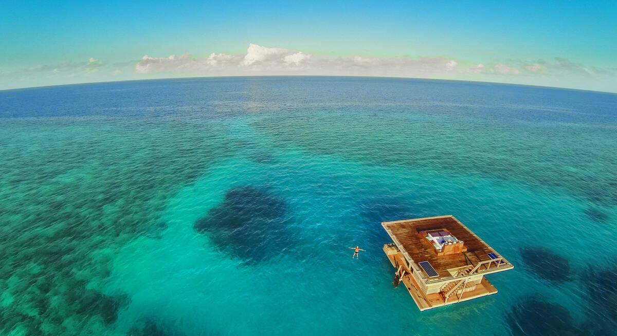
Jasmine Beach Holiday
8 days • 1 locations
DAR ES SALAAM AIRPORT TO DAR ES SALAAM AIRPORT
Relax on Pemba Island’s Manta Resort, a laidback and remote beach retreat with superb views. Enjoy a range of land- and water-based activities, and spend a night in the unique underwater bedroom for a truly special experience.
US$2,710 - US$4,100 per person
Topi Fly-in Safari
7 days • 2 locations
DAR ES SALAAM AIRPORT TO DAR ES SALAAM AIRPORT
Explore Nyerere National Park and Ruaha National Park from two luxurious, colonially styled camps. Chosen for their access to good game viewing and thrilling remoteness, these camps also offer a range of varied safari activities.
US$6,540 - US$6,870 per person
Yellow Baboon Fly-In Safari
7 days • 2 locations
DAR ES SALAAM AIRPORT TO DAR ES SALAAM AIRPORT
Two authentic bushcamps offer access to Ruaha’s remote wildernesses through walking safaris, day and night 4WD drives and fly-camping. Explore in almost utter isolation, with superb guiding to heighten your immersion in nature.
US$7,950 - US$9,220 per person
Tanzania fact file
Useful information to help you prepare for your trip in Tanzania
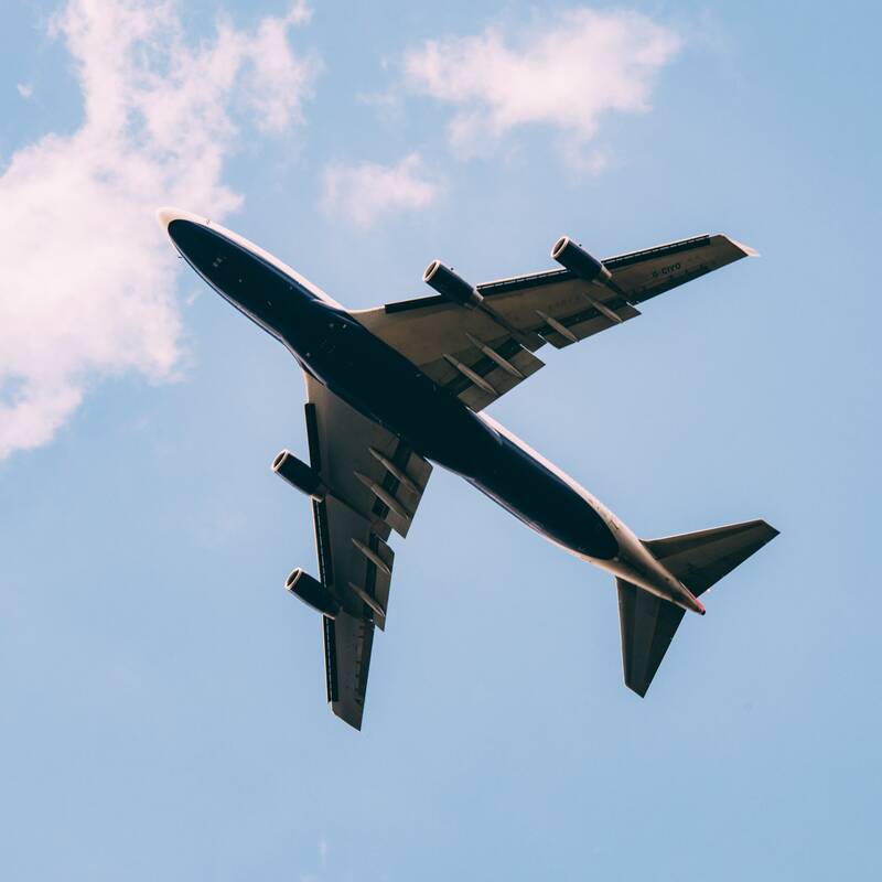
Flights to Tanzania
How to get to and within the country

LGBT travel in Tanzania
Attitudes, the law & our experiences
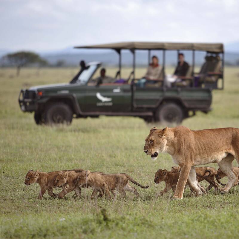
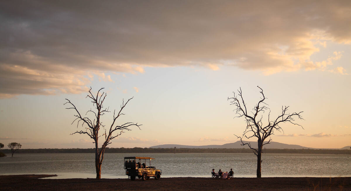
Privately guided safaris
Safari with a private guide in your own 4WD
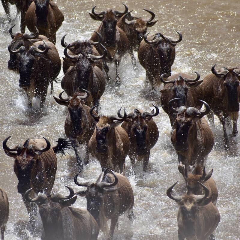
The Great Wildebeest Migration
Info to maximise the experience
Tanzania general info
Essential travel information

Tipping in Tanzania
Expectations & guidelines for tipping

Weather & climate
The best time to visit Tanzania
