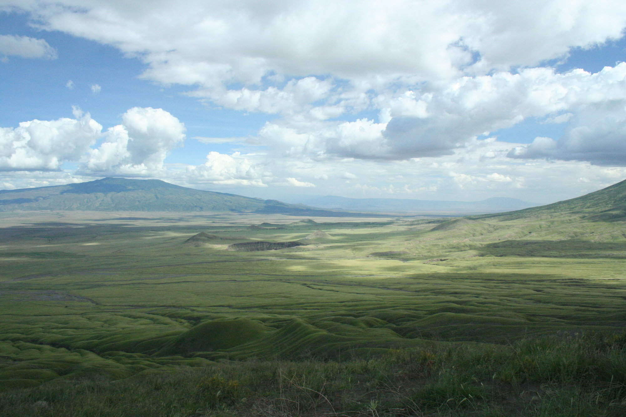
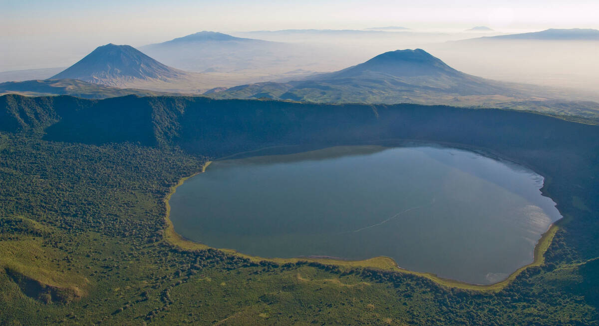
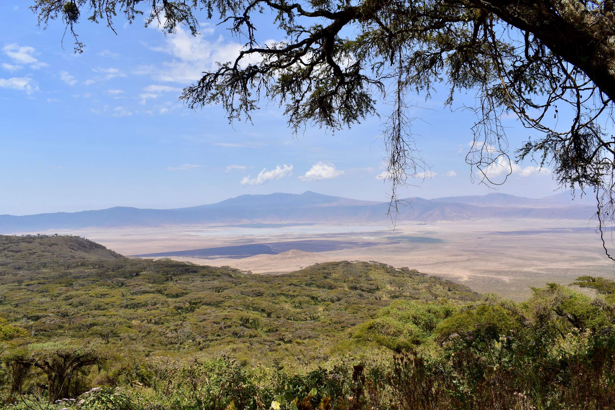
Map of Ngorongoro Crater
Ngorongoro Crater reference map

Google map of Ngorongoro Crater
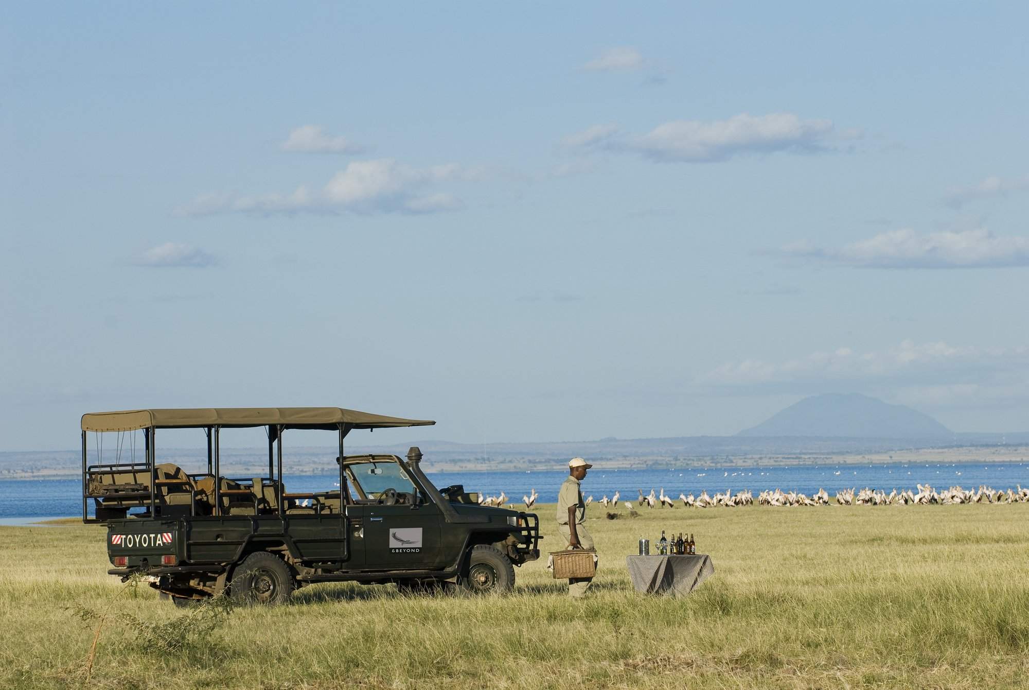
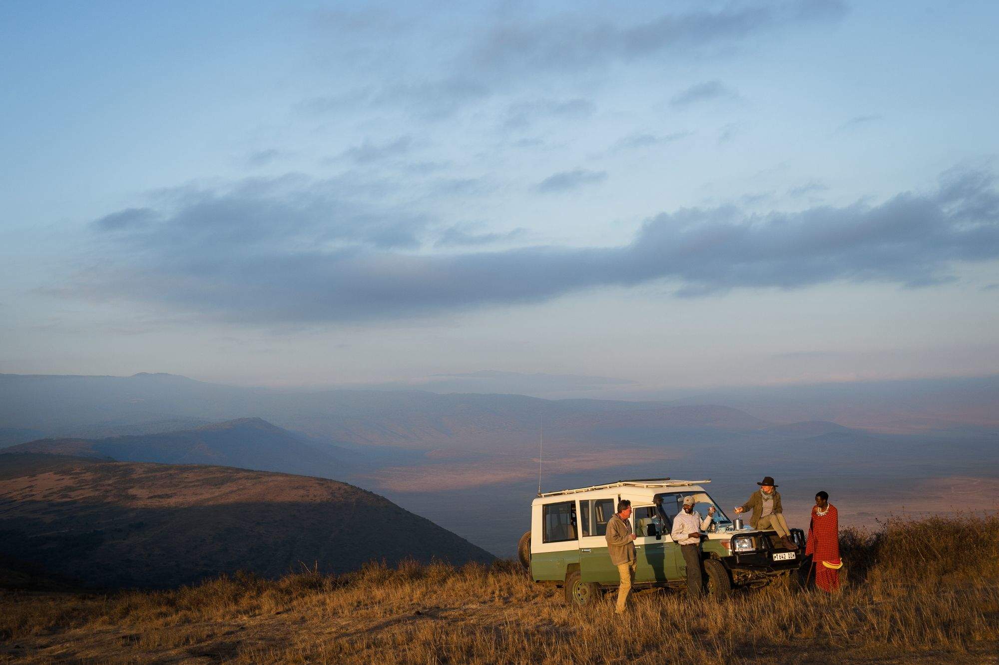
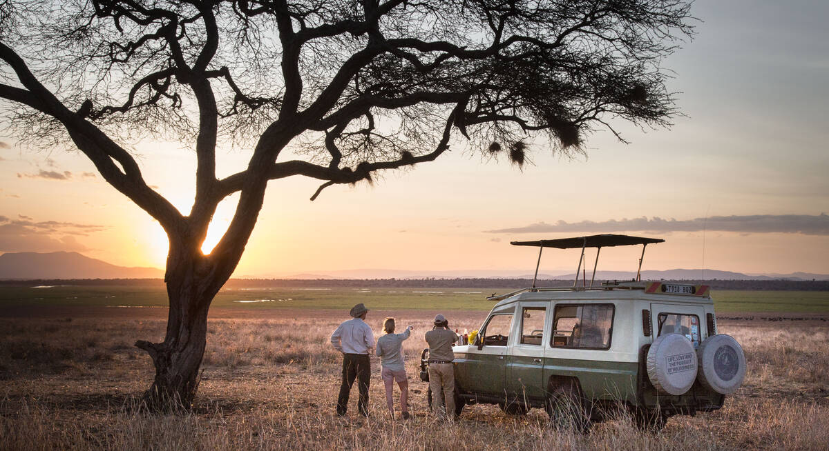
Safaris visiting Ngorongoro Crater
Just ideas, we'll always tailor-make a trip for you

Flufftail Guided Safari
10 days • 3 locations • 1 country
KILIMANJARO AIRPORT TO KILIMANJARO AIRPORT
Stay in three unique camps as you safari across the Ngorongoro Crater and the iconic Serengeti Plains with your private guide and 4WD vehicle: a trip of comfort and autonomy, with excellent wildlife.
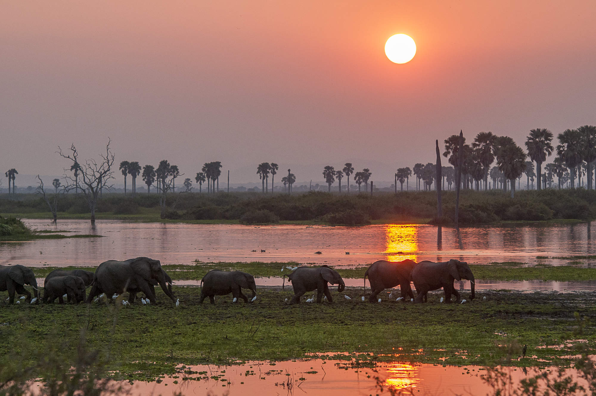
Visiting Serengeti, Ngorongoro Crater
US$11,410 - US$16,860 per person

Firefinch Drive-Fly Safari
9 days • 3 locations • 1 country
KILIMANJARO AIRPORT TO KILIMANJARO AIRPORT
Enjoy a combination of privately guided and shared game drives during this good-value exploration of northern Tanzania. Explore game-dense regions from three comfortable bases which offer a variety of activities.
Visiting Tarangire, Ngorongoro Crater and 1 other area
US$7,440 - US$10,740 per person

Marabou Stork Fly-in Safari
13 days • 5 locations • 1 country
KILIMANJARO AIRPORT TO DAR ES SALAAM AIRPORT
Four luxurious camps enable exploration of Tanzania’s north and southern regions. With a range of land- and water-based activities available throughout, decidedly comfortable accommodation and applicable long-stay discounts, this adventurous safari is excellent value.
Visiting Tarangire, Serengeti and 3 other areas
US$16,050 - US$23,210 per person


Gorillas and Serengeti Safari
11 days • 4 locations • 2 country
KIGALI AIRPORT TO KILIMANJARO AIRPORT
Combine three iconic experiences – mountain gorillas in Rwanda, and the Serengeti plains and awe-inspiring Ngorongoro Crater in Tanzania.
Visiting Kigali, Ngorongoro Crater and 2 other areas
US$12,620 - US$14,390 per person

Tinkerbird Fly-in Safari
8 days • 4 locations • 1 country
KILIMANJARO AIRPORT TO KILIMANJARO AIRPORT
Explore Tanzania’s famous northern circuit in Tarangire National Park, the Ngorongoro Conservation Area and the Serengeti National Park. Four smart sister camps offer a high level of care, first-class guiding and a wide range of activities.
Visiting Tarangire, Serengeti and 1 other area
US$10,340 - US$15,100 per person

Fringe-eared Oryx Fly-in Safari
7 days • 3 locations • 1 country
KILIMANJARO AIRPORT TO KILIMANJARO AIRPORT
Stay in three superbly positioned camps during this exploration of Tanzania’s famous northern circuit. Excellent views over the surrounding areas, relatively remote locations and game-rich habitat make for an exciting and varied safari experience.
Visiting Serengeti, Tarangire and 1 other area
US$8,400 - US$12,520 per person


Regal Sunbird Fly-in Safari
12 days • 5 locations • 2 country
KILIMANJARO AIRPORT TO DAR ES SALAAM AIRPORT
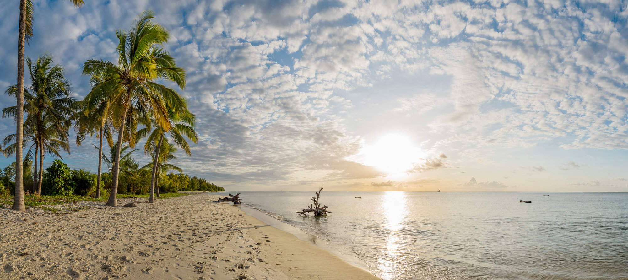
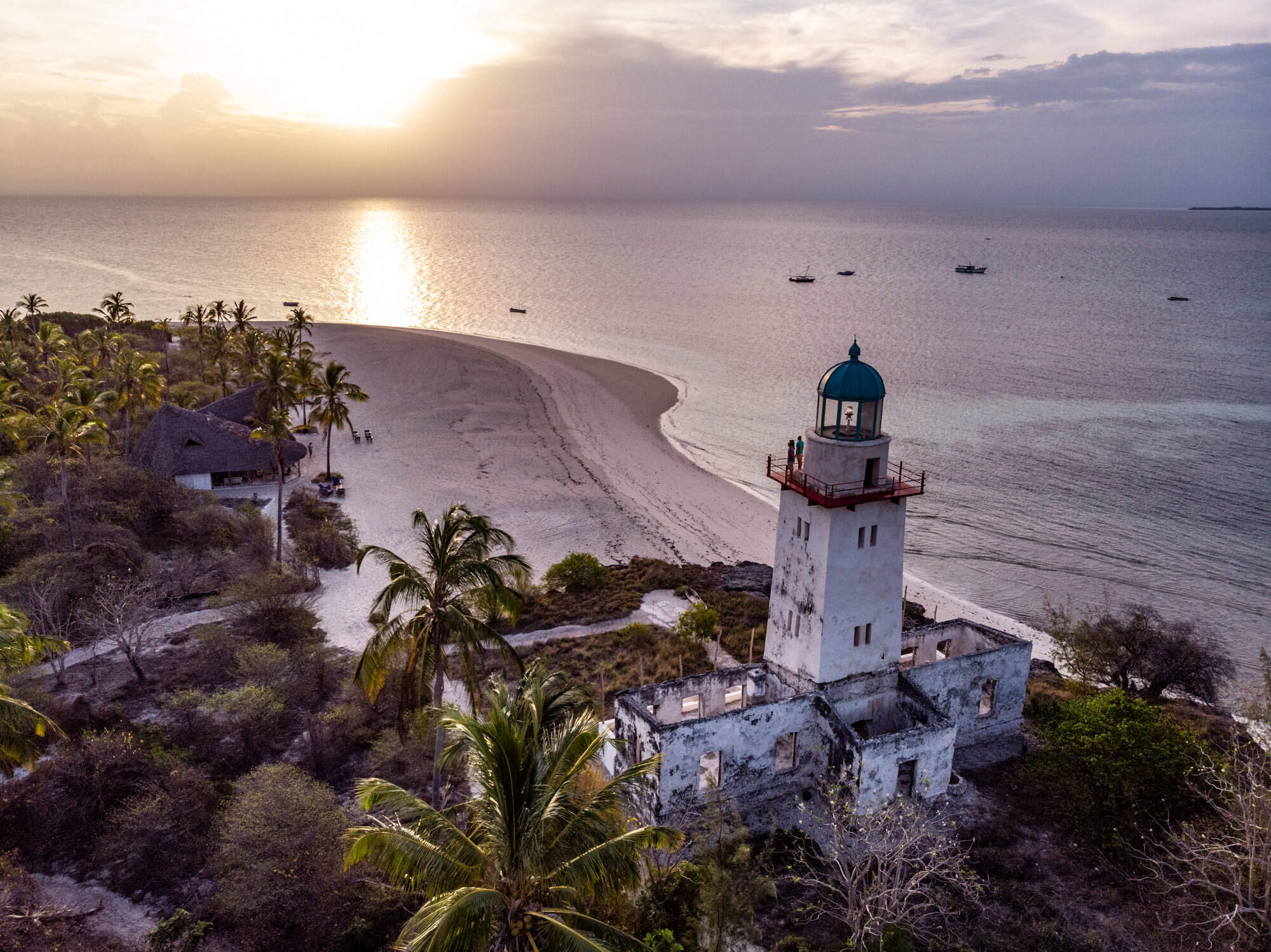
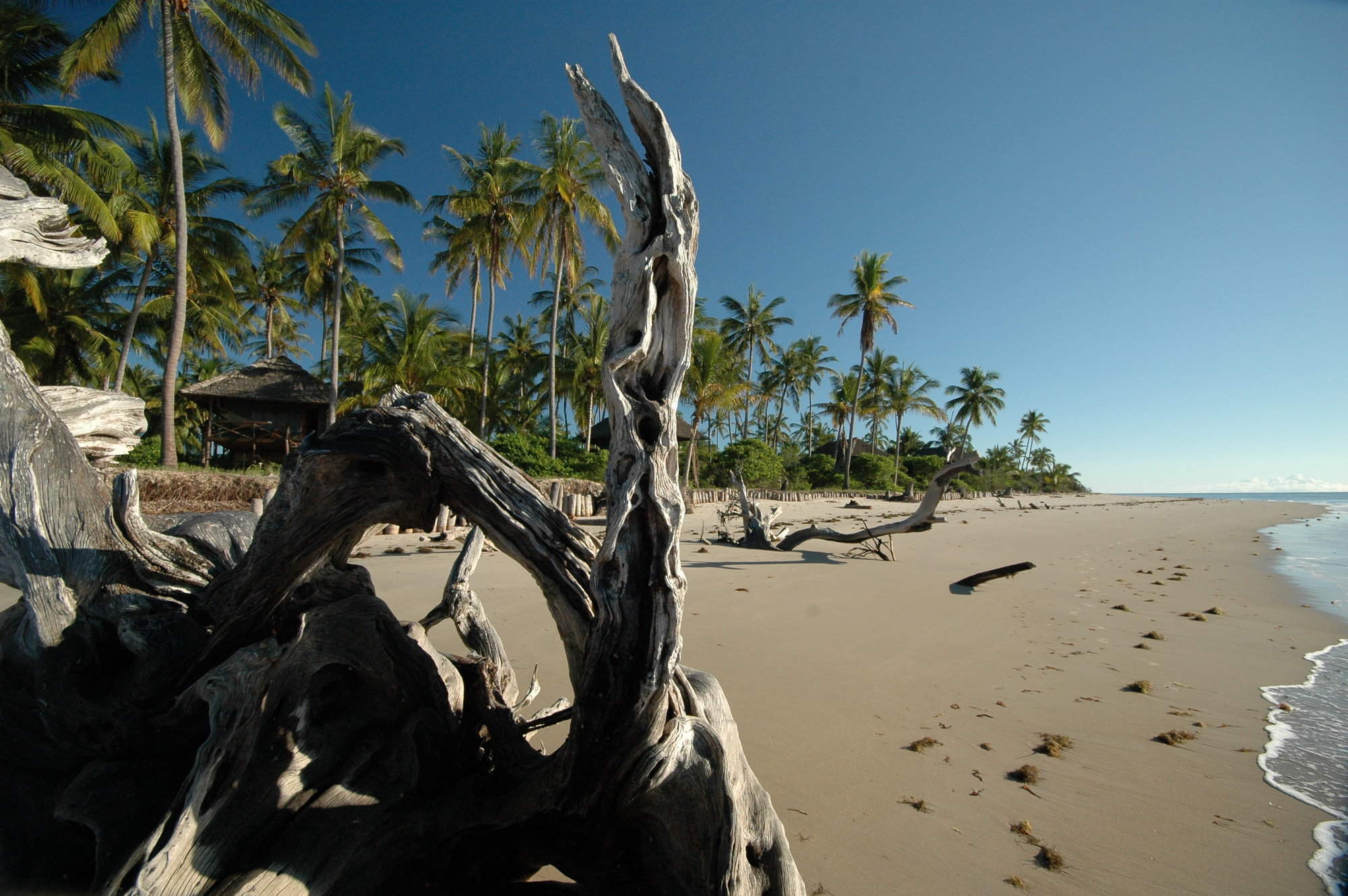
Experience the highlights of Tanzania with a safari in the country’s famous northern parks followed by historic Stone Town and the palm-fringed beaches of Zanzibar, staying in high-quality accommodation throughout.
Visiting Tarangire, Ngorongoro Crater and 3 other areas
US$9,320 - US$15,160 per person


Lovebird Fly-in Safari
5 days • 2 locations • 1 country
KILIMANJARO AIRPORT TO KILIMANJARO AIRPORT
Visit two consistently impressive wildlife destinations during this excellent-value safari in northern Tanzania. Enjoy a range of walks and cultural visits from sister camps at the Ngorongoro Crater and in the heart of the Serengeti.
Visiting Ngorongoro Crater, Serengeti
US$3,820 - US$5,960 per person


Avocet Fly-in Safari
7 days • 3 locations • 1 country
KILIMANJARO AIRPORT TO KILIMANJARO AIRPORT
This luxurious safari explores three iconic African reserves from exclusive lodges in unbeatable locations. A very high standard of food, care and guiding ensure that you can focus on this amazing experience.
Visiting Lake Manyara, Ngorongoro Crater and 1 other area
US$9,280 - US$14,680 per person


Hadeda Ibis Guided Safari
7 days • 3 locations • 1 country
KILIMANJARO AIRPORT TO KILIMANJARO AIRPORT
This great-value safari, in a private 4WD with your own driver-guide, journeys through the stunning landscapes of northern Tanzania’s Great Rift Valley, focusing on its three top national parks.
Visiting Tarangire, Ngorongoro Crater and 1 other area
US$4,470 - US$5,650 per person

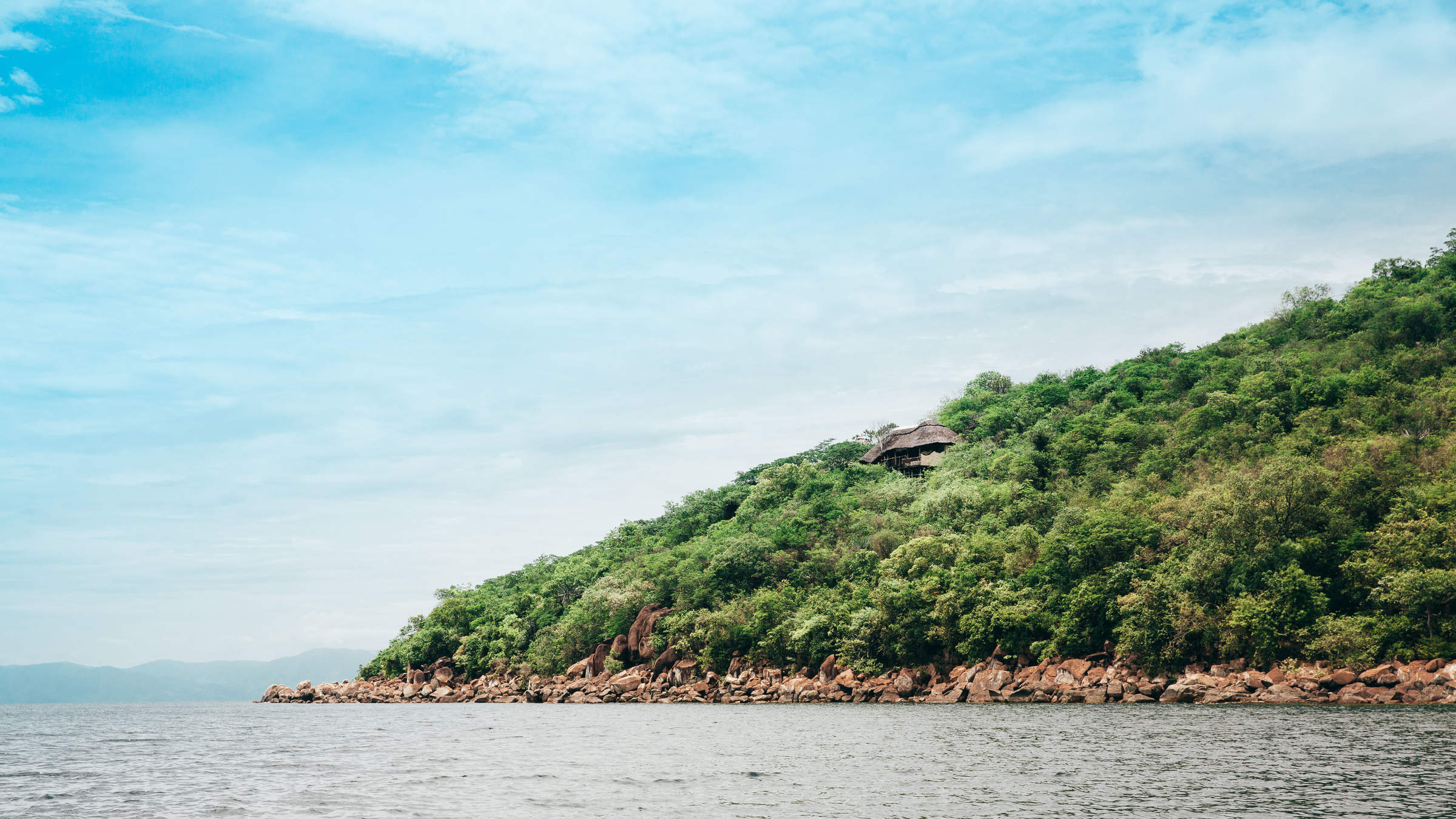
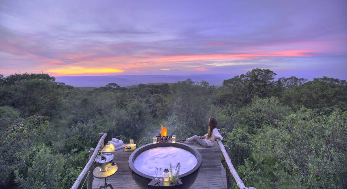
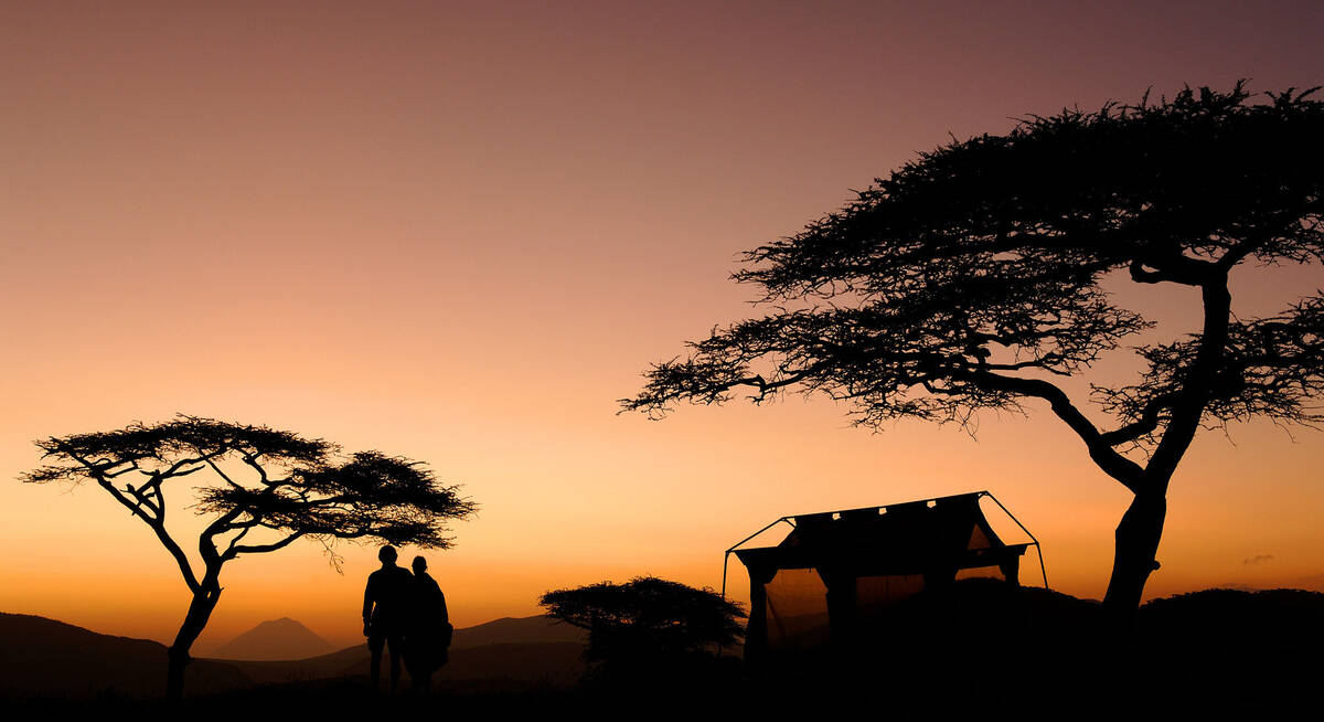
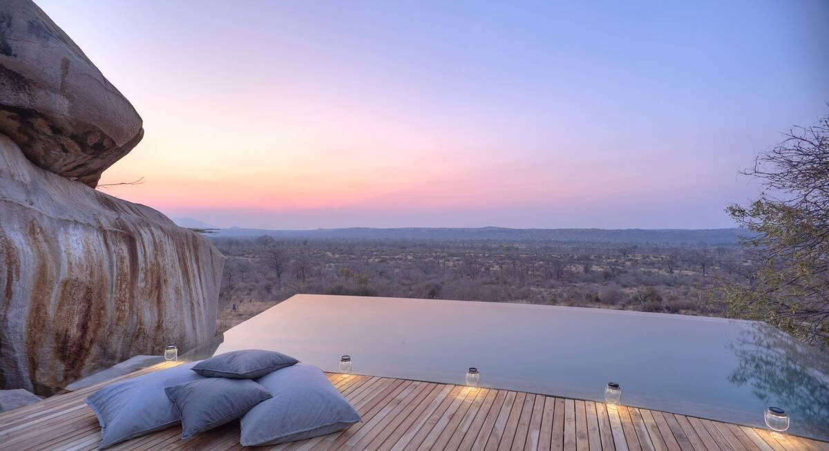
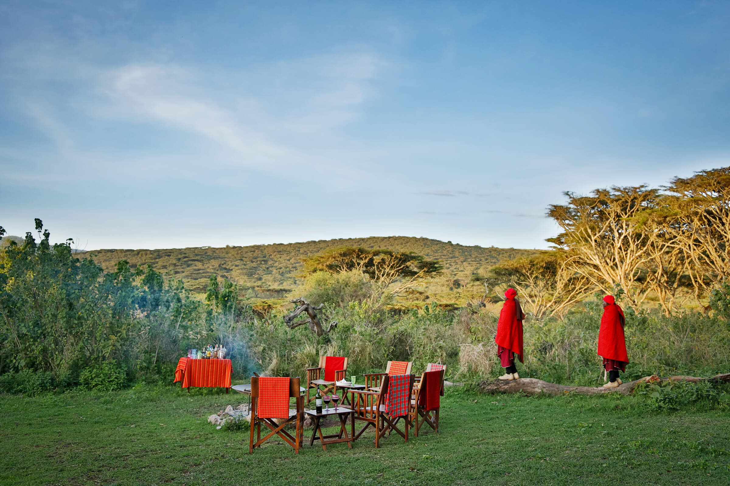
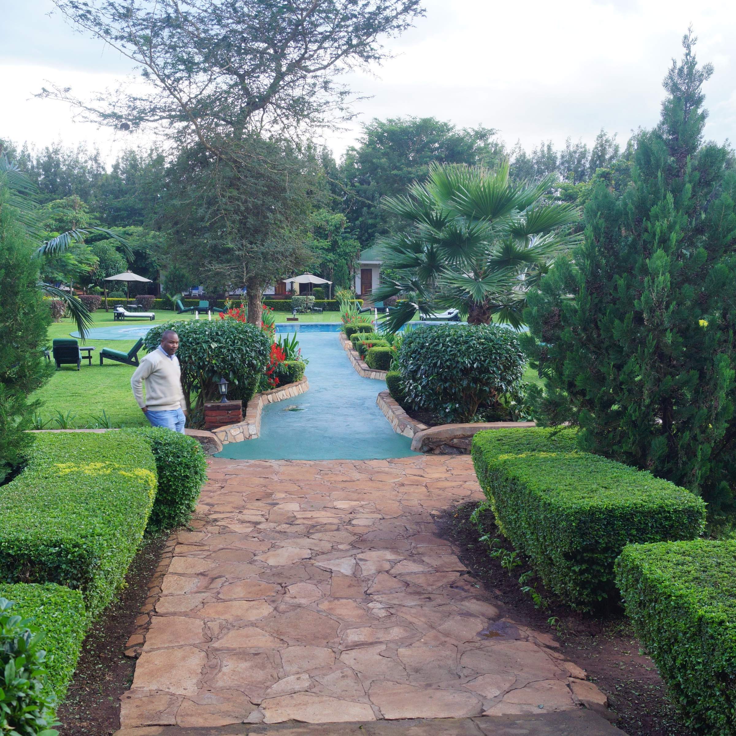
Where to stay in Ngorongoro Crater
Our suggestions for safari camps in Ngorongoro Crater
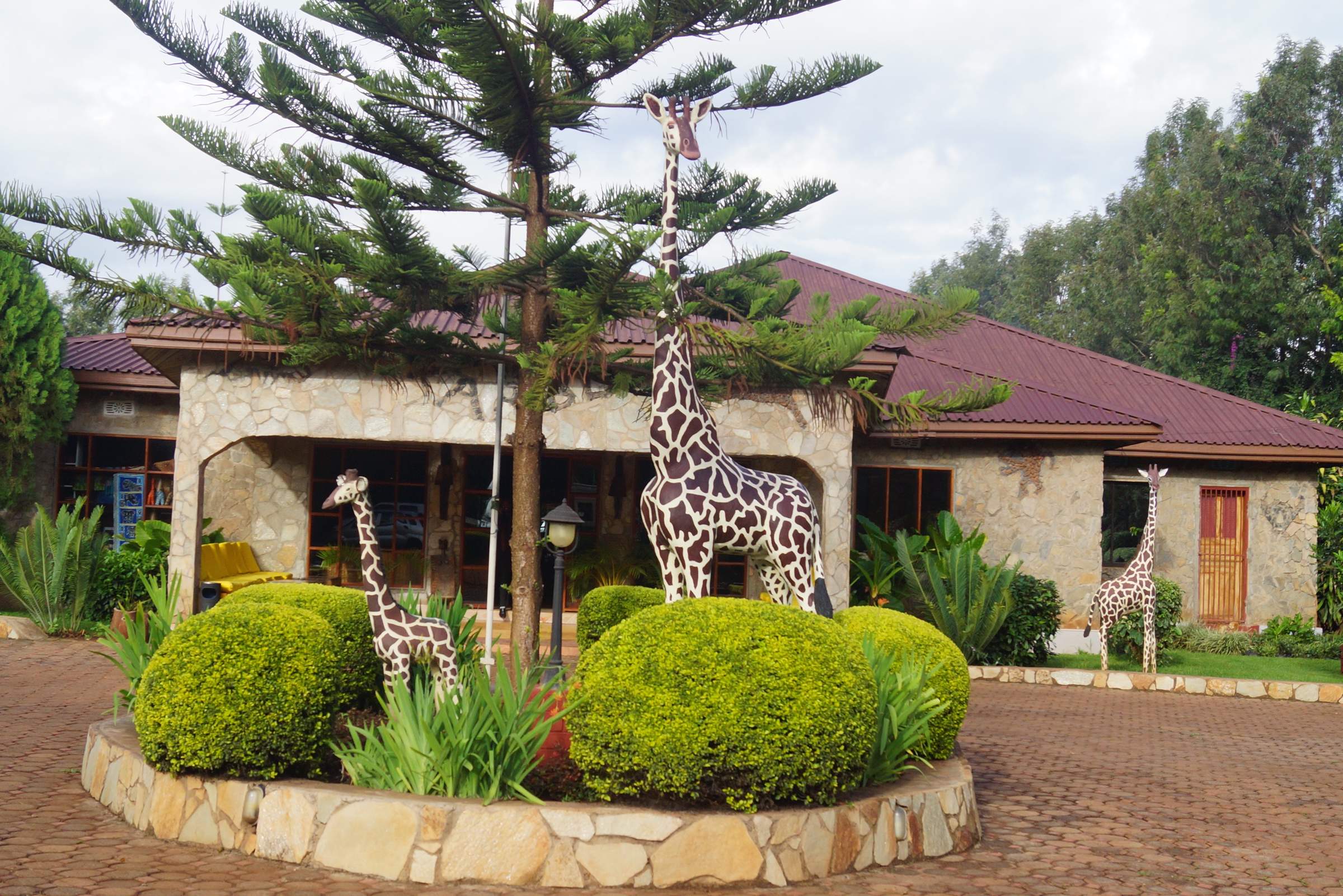
Plantation Lodge
A relaxed base between Ngorongoro and Lake Manyara, Plantation Lodge has lush grounds and offers good value and high standards.
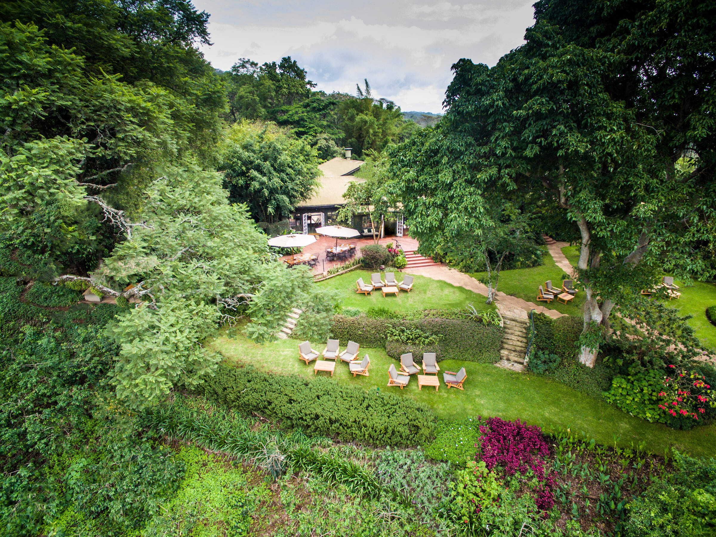
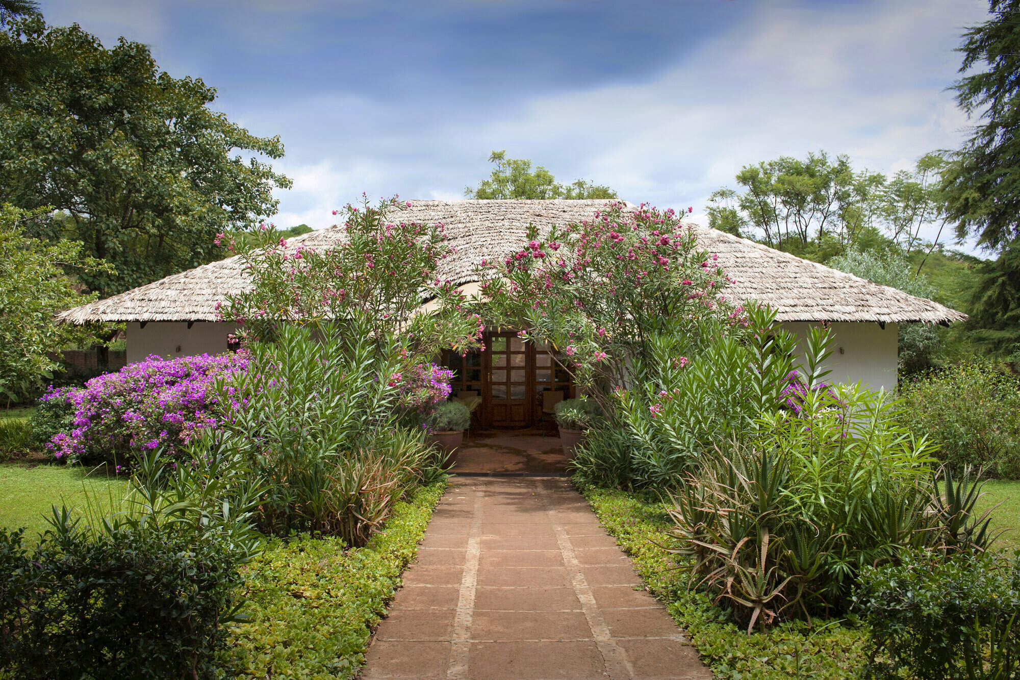
Gibbs Farm
Located not far from the Ngorongoro Conservation Area, Gibb's Farm has comfy rooms, homegrown food and strong community links
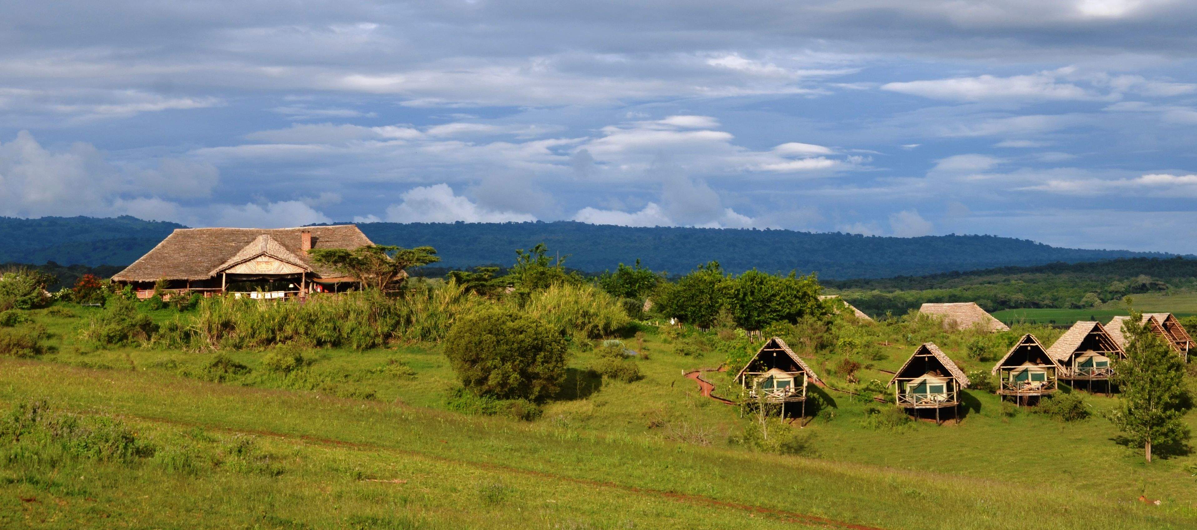
Lemala Ngorongoro
Lemala Ngorongoro is a small, comfortable tented camp on the rim of the Ngorongoro Crater with lovely walking in the vicinity.
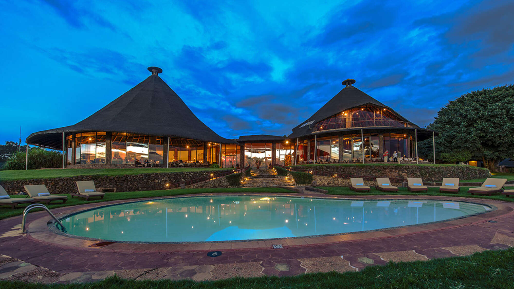
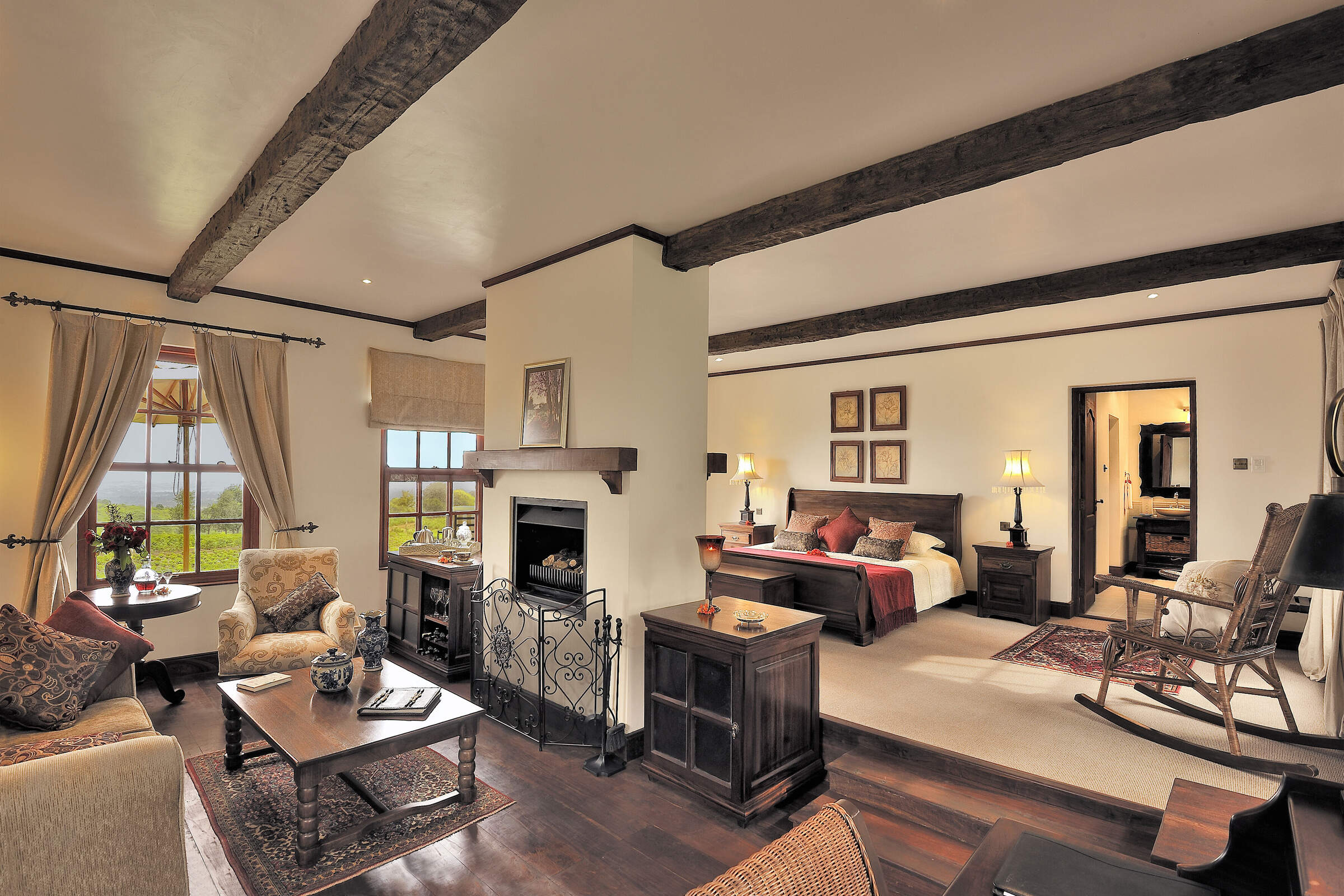
Crater Lodge
The ultra-luxurious Ngorongoro Crater Lodge is perched in a spectacular location on the edge of the Ngorongoro Crater.

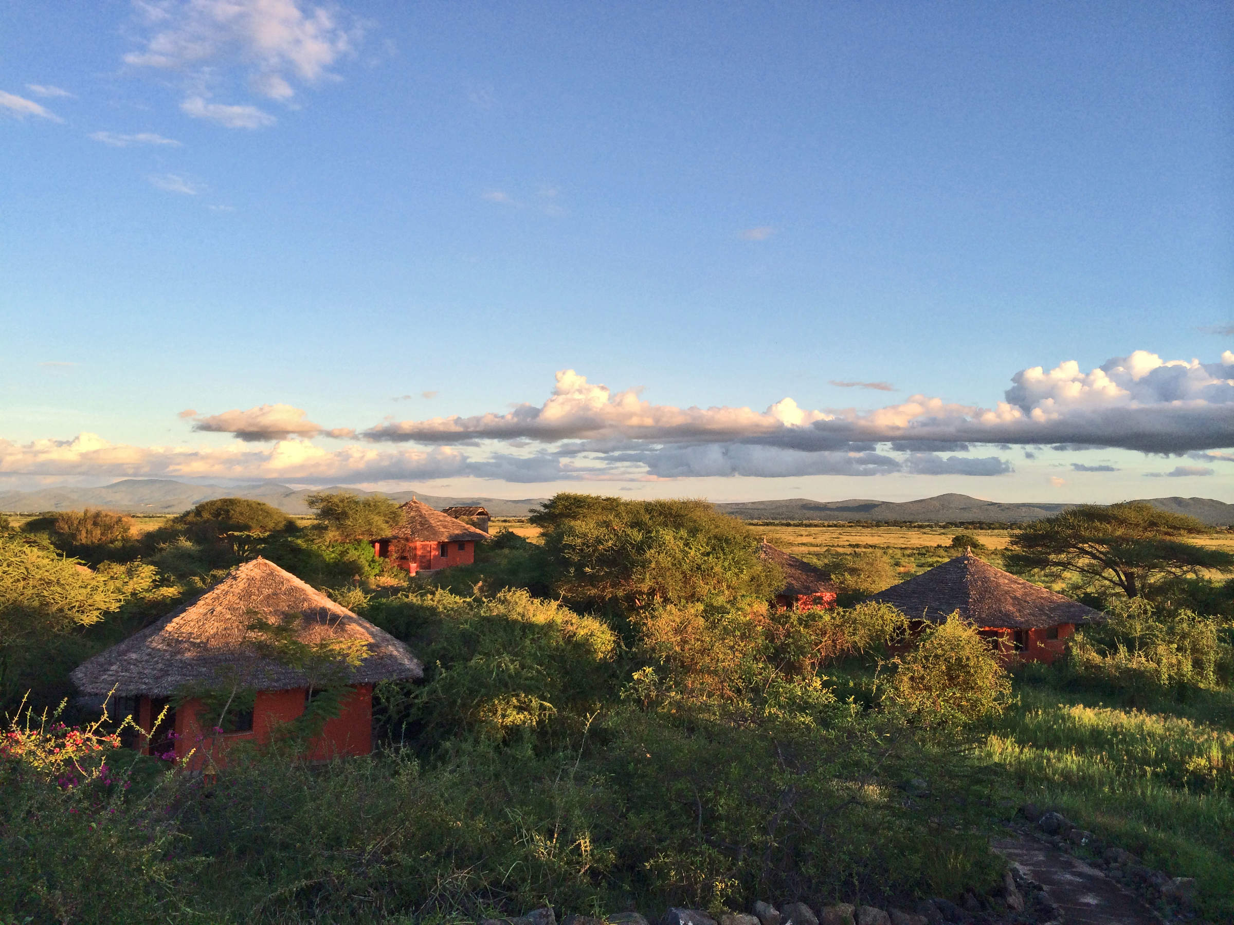
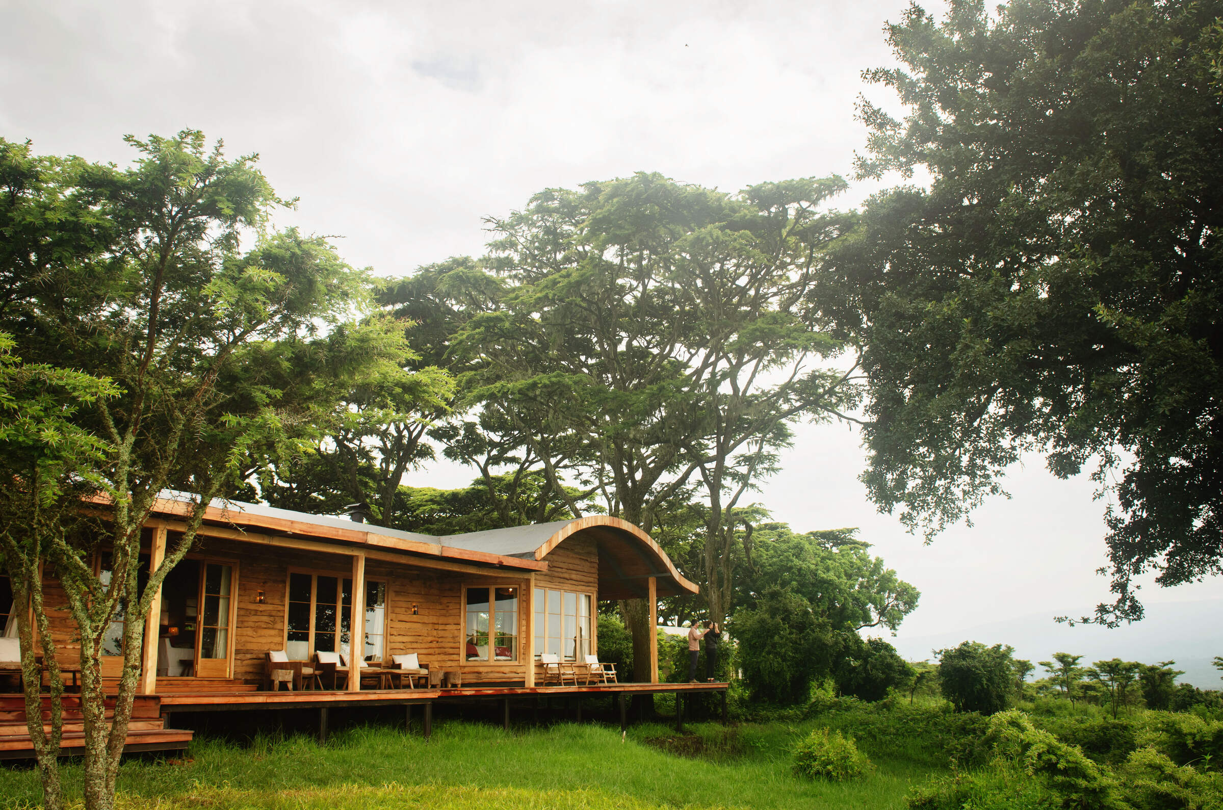
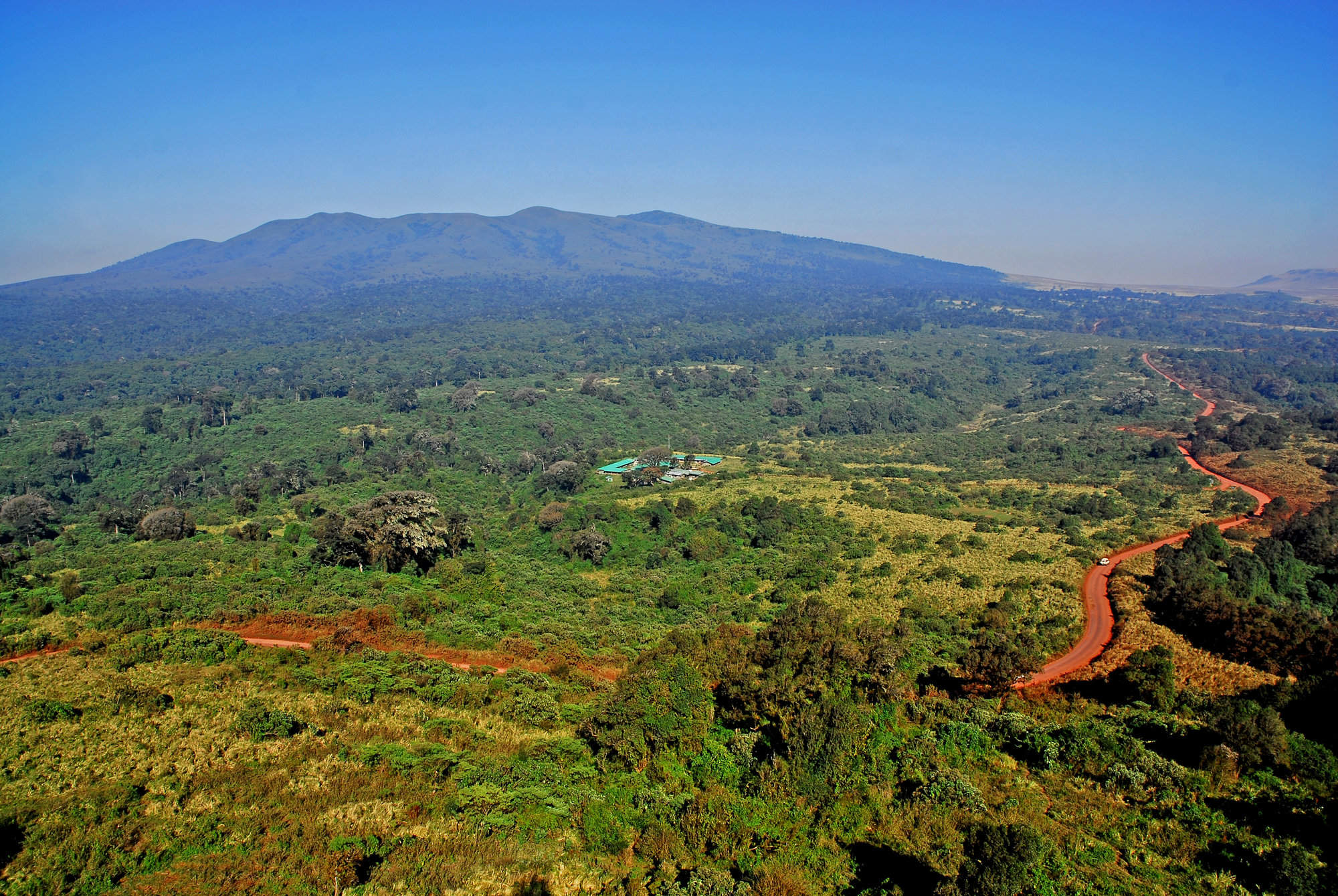
The Highlands
The Highlands is a unique camp near Olmoti Crater, north of Ngorongoro, offering drives, walks and cultural visits from a beautiful remote setting.
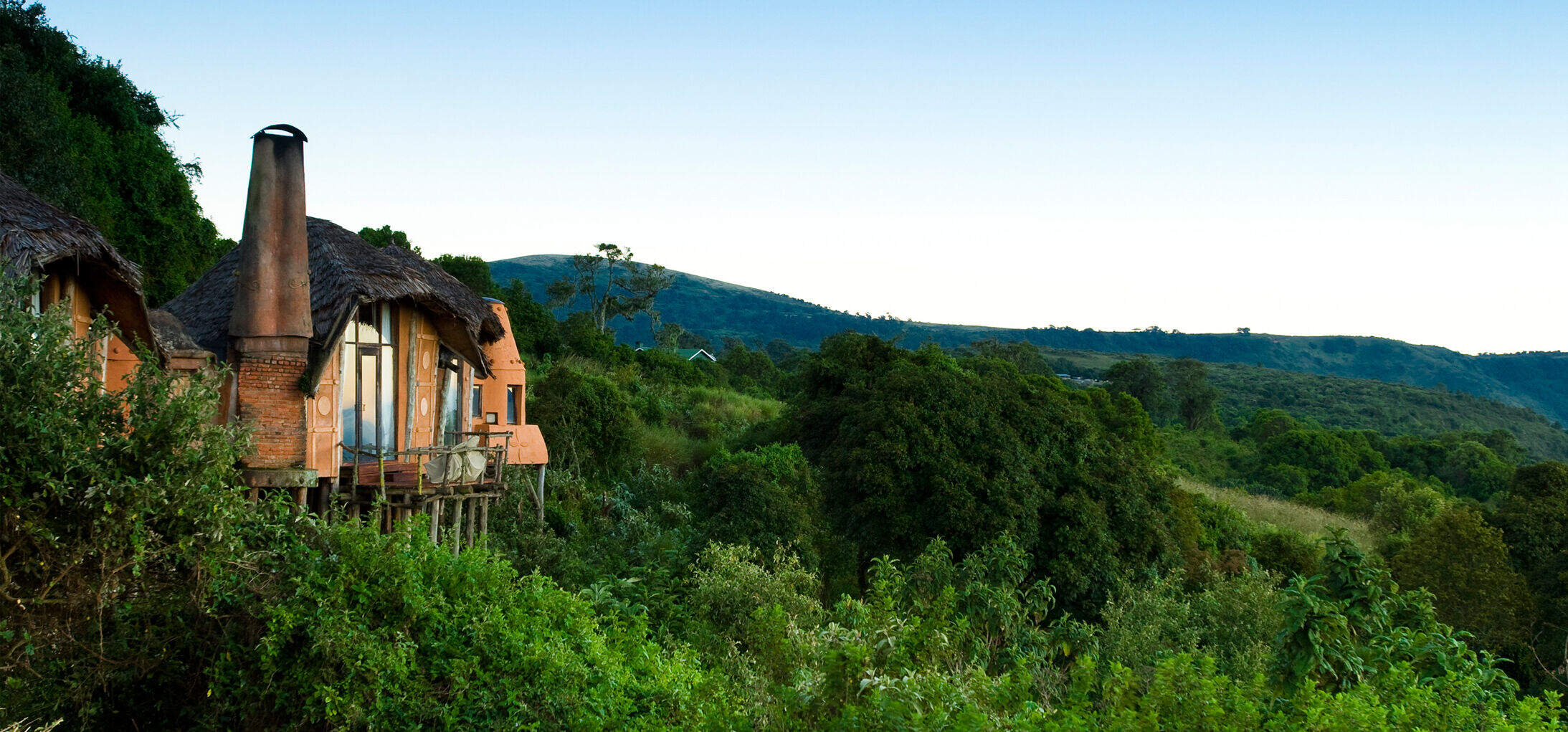
Entamanu Ngorongoro
Opened in 2016, Entamanu Ngorongoro is a small camp high on the Crater rim with views towards the crater and the plains of the Serengeti.
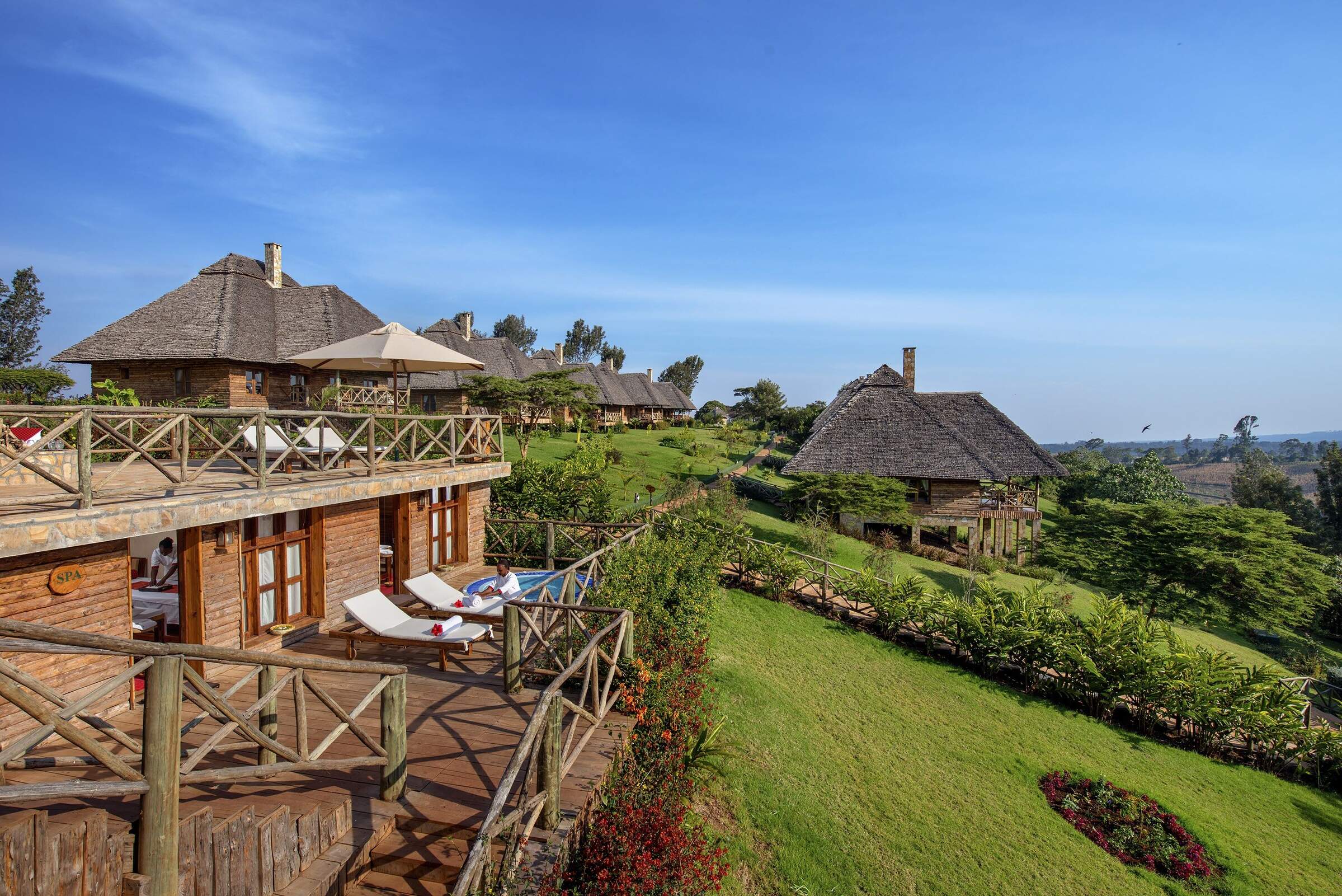
Ngorongoro Sopa Lodge
Situated on the eastern rim of the Ngorongoro Crater, with outstanding views, the Sopa Lodge is a somewhat dated, international-style hotel.
Rhino Lodge
Rhino Lodge is a simple, good-value lodge with a great location near the crater rim, in the Ngorongoro Conservation Area.

Farmhouse Lodge
Ngorongoro Farmhouse Lodge is set on a 750-acres working farm. Close to the NCA gate, it makes a great base for exploring the Crater.
Rhotia Valley Ttd. Lodge
Rhotia Valley is a simple lodge with a strong commitment to the local community, including a children's home, which guests may visit.
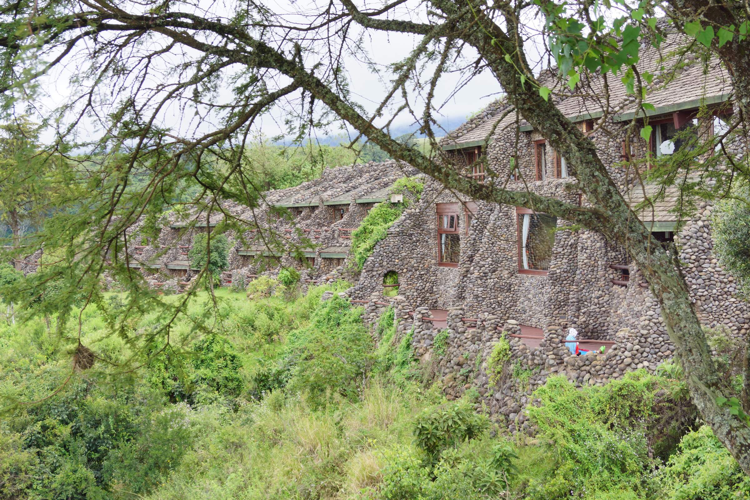
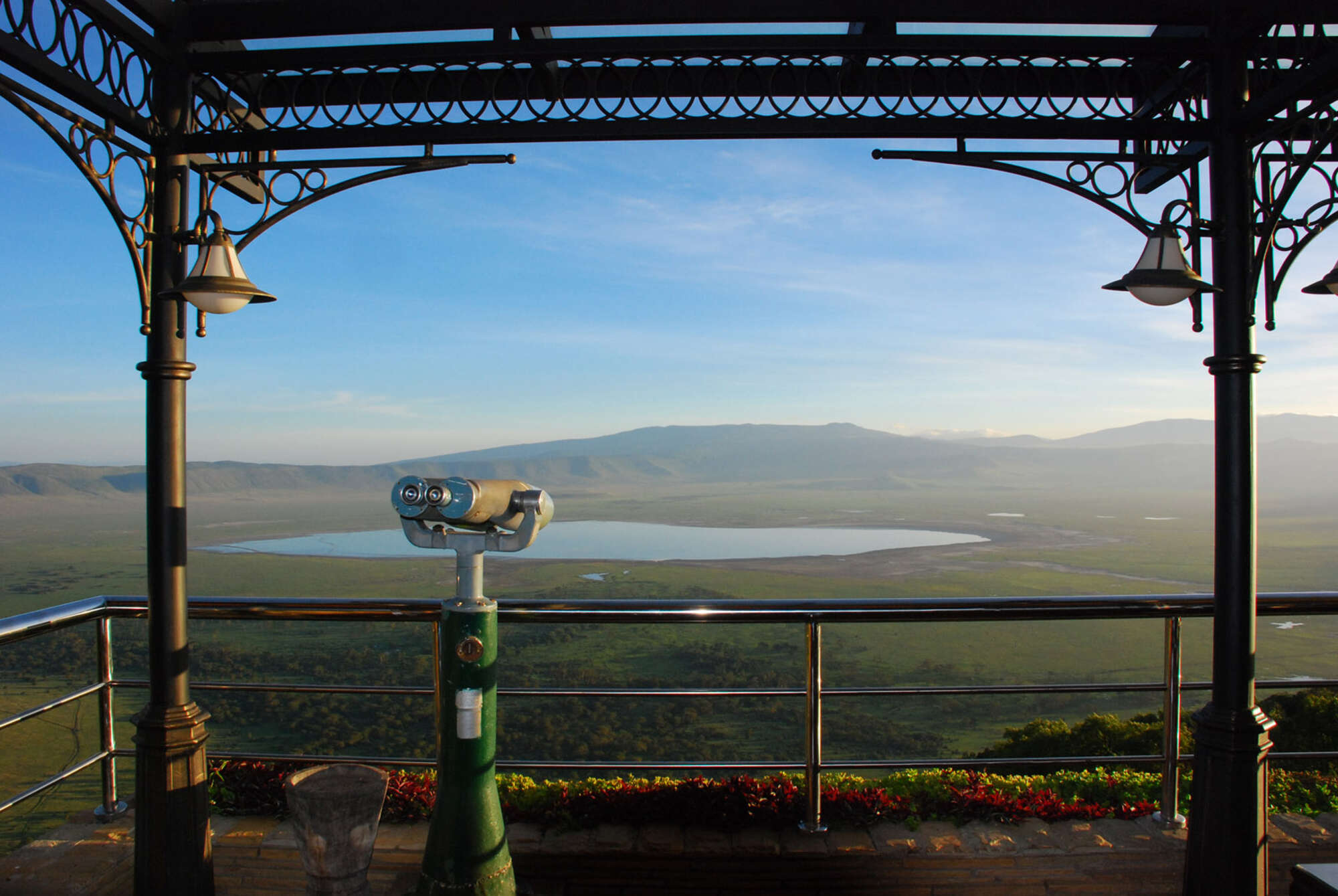
Ngorongoro Serena
The large, hotel-like Ngorongoro Serena Safari Lodge sits on the western rim of Ngorongoro Crater and has stunning views of the caldera.
Bougainvillea Lodge
Bougainvillea Safari Lodge provides an economical base from which to visit Lake Manyara or the Ngorongoro Crater.
The Manor
The Manor is a smart, family-friendly Cape-Dutch-style lodge, offering high-quality service and food in very comfortable surroundings.
Wildlife Lodge
Stay at the Ngorongoro Wildlife Lodge while on road safari in Northern Tanzania's spectacular Ngorongoro Crater area.
Neptune Ngorongoro
Neptune Ngorongoro Luxury Lodge is a smart hilltop lodge with log-style cottages set close to the Ngorongoro Conservation Area.

Kirurumu Ngorongoro
Kirurumu Ngorongoro is a tented camp situated near the Ngorongoro Crater, with seven guest tents.
Ngorongoro Fly-Camp
Explore the remote northern rim of the Ngorongoro Crater on a two-day hike and spend the night in this small fly-camp.
Country Lodge
Country Lodge is conveniently located on the edge of Karatu and provides a comfortable base for exploring Ngorongoro Crater or Lake Manyara.
Our travellers’ wildlife sightings in Ngorongoro Crater
This is their success for sightings in Ngorongoro Crater.
Click on a species for more detail. How we work this out.

100% success

93% success

90% success

90% success

89% success

87% success

87% success

82% success

66% success

54% success

14% success

11% success

9% success

0% success

0% success