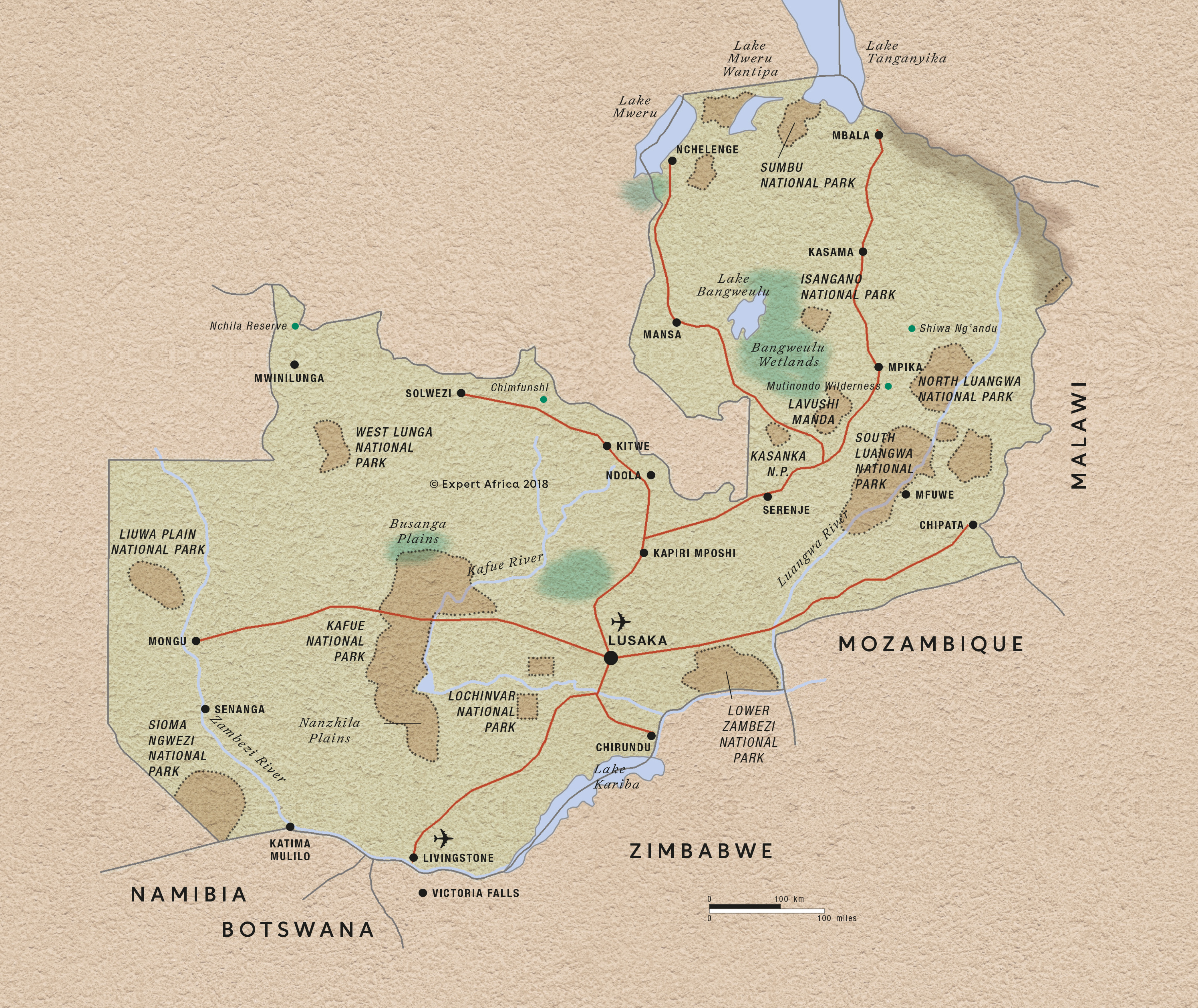
Maps of Zambia: two styles
Zambia’s natural diversity is thrown into relief with different styles of maps. Zoom into the areas and then the lodges on our maps for some amazing views of what the country is really like.
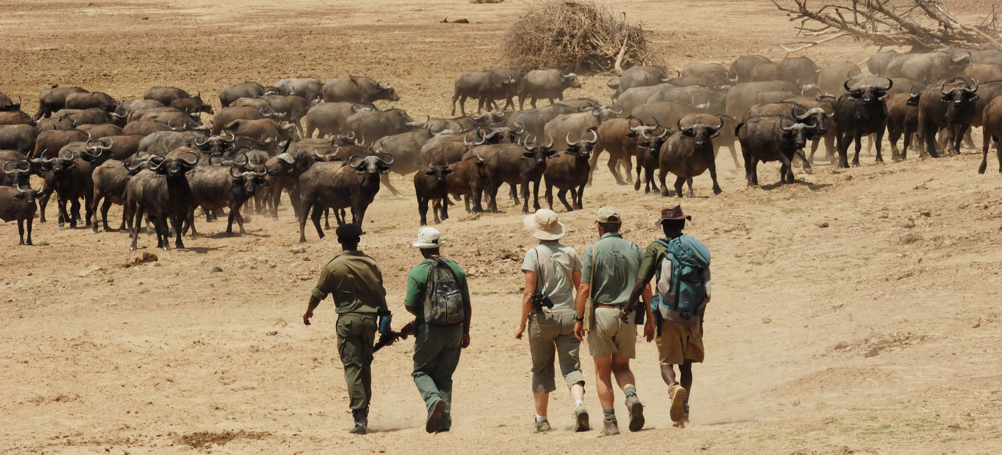
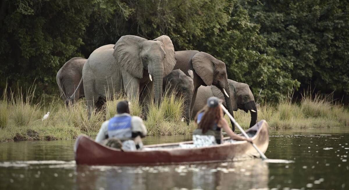
At first glance, the country appears to be solidly green, a verdant land of trees and grasslands that supports a huge range of wildlife. Zoom in closer and you’ll understand why: the land is threaded with a network of rivers, some culminating in huge – occasionally manmade – lakes; others – like the Zambezi – broadening out as it snakes east, and forming the country’s southern border.
Click onto any of the markers, and follow the links in the bubbles until you find maps of these areas, with precise locations for the various safari camps and lodges.
Our map of Zambia
This a sketch map of Zambia – showing its key road arteries, national parks, towns, and areas of interest for visitors.
Google map of Zambia
This map splits what we offer in Zambia into seven parts; read more about them by clicking the blue markers. Our more detailed maps of the areas show the different safari camps, lodges and hotels; to see these, follow links in the bubbles – or at the bottom of the page.
Our top safaris in Zambia
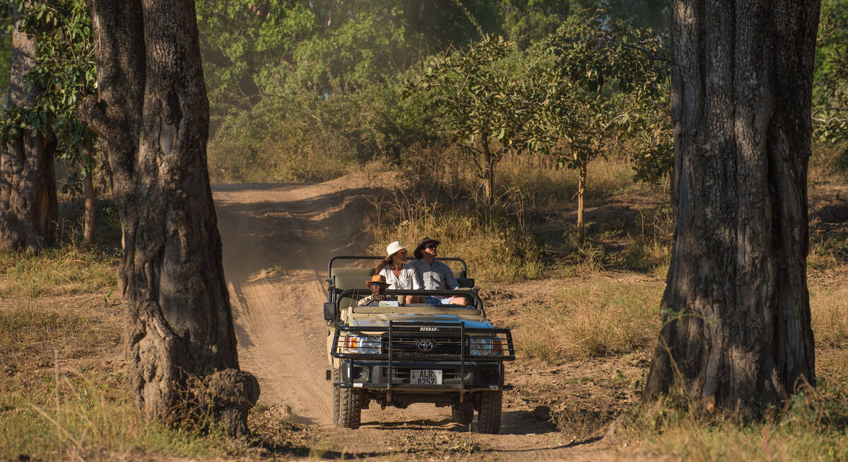
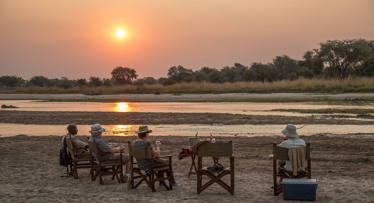
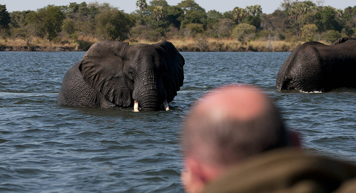
Here are 18 great Zambia safaris to inspire you.
Puku Safari
11 days • 3 locations
LUSAKA AIRPORT TO LIVINGSTONE AIRPORT
Discover South Luangwa’s prolific wildlife before exploring the wildly remote pans of Liuwa Plain National Park and relaxing in one of the Livingstone area’s most romantic and exclusive hideaways. A safari of luxury, style and impressive diversity.
US$13,200 - US$18,440 per person
Perekani Walking Trail
10 days • 5 locations
LUSAKA AIRPORT TO LUSAKA AIRPORT
Five smart but rustic bushcamps are the comfortable staging posts for this walking safari in South Luangwa. The route offers outstanding seclusion and rich wildlife with top-quality guiding throughout.
US$9,250 - US$11,500 per person

Crawshay's Zebra Safari
10 days • 4 locations
LUSAKA AIRPORT TO LUSAKA AIRPORT
This superb safari combines two of Zambia’s best national parks, the South Luangwa and the Lower Zambezi. The camps are small and high quality with excellent safari guides.
US$9,760 - US$13,820 per person
Duiker Safari
10 days • 3 locations
LUSAKA AIRPORT TO LUSAKA AIRPORT
Three luxurious bushcamps in stunning riverside locations, split between the South Luangwa and Lower Zambezi national parks, offer a wide variety of expert-guided safari activities in stunning game-rich environments.
US$8,060 - US$10,020 per person
Hippo Safari
9 days • 4 locations
LUSAKA AIRPORT TO LIVINGSTONE AIRPORT
Combining excellent game with aspects of remoter safari in South Luangwa, as well as the cultural delights of Livingstone, this trip also makes use of long-stay discounts, making it an excellent-value and well-rounded adventure.
US$7,480 - US$8,820 per person
Giraffe Safari
9 days • 3 locations
LUSAKA AIRPORT TO LUSAKA AIRPORT
A safari to the remotest parts of Zambia’s Luangwa Valley. Perfect for experienced safari goers and first-time Africa adventurers. Explore with expert guides whilst staying at small bushcamps.
US$8,390 - US$9,740 per person
Defassa Waterbuck Safari
9 days • 3 locations
LUSAKA AIRPORT TO LUSAKA AIRPORT
Stay in three intimate, owner-run camps during this exploration of Kafue National Park. Remote locations, true wilderness and a range of activities make for a real adventure off the beaten track.
US$8,240 - US$8,670 per person
Civet Safari
9 days • 4 locations
LUSAKA AIRPORT TO LUSAKA AIRPORT
Combining three intimate bushcamps in the quieter south of the South Luangwa, this safari will appeal to those looking for an interesting mix of walking and vehicle safari.
US$7,480 - US$9,230 per person
Purple Roller Safari
8 days • 2 locations
LUSAKA AIRPORT TO LUSAKA AIRPORT
Explore the varied habitats and terrain of Kafue National Park with stays in two wonderfully remote bushcamps: sister camps that offer access to both the centre of the park and the wildlife-rich Busanga Plains.
US$8,790 - US$9,320 per person
Greater Bushbaby Safari
8 days • 2 locations
LUSAKA AIRPORT TO LUSAKA AIRPORT
The perfect safari for a family or group of friends during which to create everlasting memories. Visit Zambia’s two most productive wildlife parks staying in four-bedroom houses, designed in a unique and fun way.
US$9,400 - US$12,260 per person
Zambia fact file
Useful information to help you prepare for your trip in Zambia
Flights to Zambia
How to get there & on to safaris camp destinations
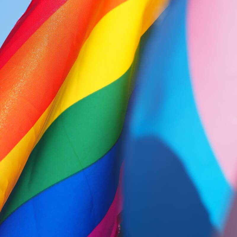
LGBT travel in Zambia
Attitude, the law & our experiences
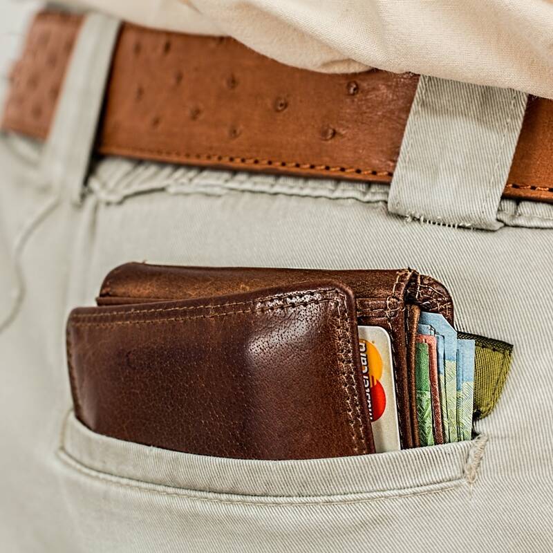
Tipping in Zambia
Expectations & guidelines for tipping
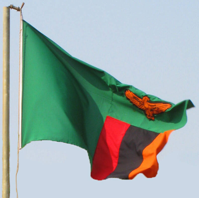
Zambia general info
Essential travel information
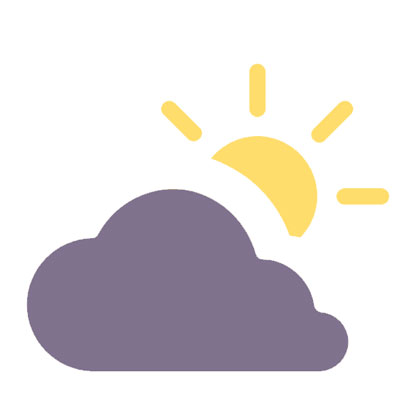
Weather & climate
The best time to visit Zambia
