Map of Nyerere National Park
Nyerere National Park reference map

Google map of Nyerere
This map shows the scattering of safari camps and lodges in Nyerere National Park. Read more about them by clicking the blue markers, and following the links in the bubbles to more details, or a closer view.
Click here to read more about the safari camps and lodges in Nyerere National Park.
Safaris visiting Nyerere
Just ideas, we'll always tailor-make a trip for you

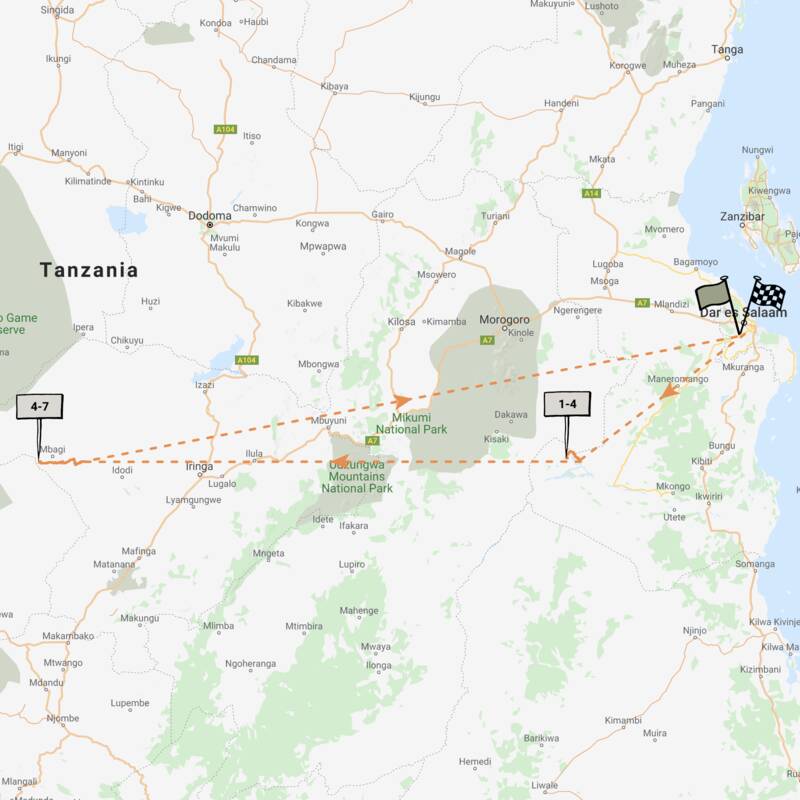
Jackal Fly-in Safari
8 days • 2 locations • 1 country
DAR ES SALAAM AIRPORT TO DAR ES SALAAM AIRPORT
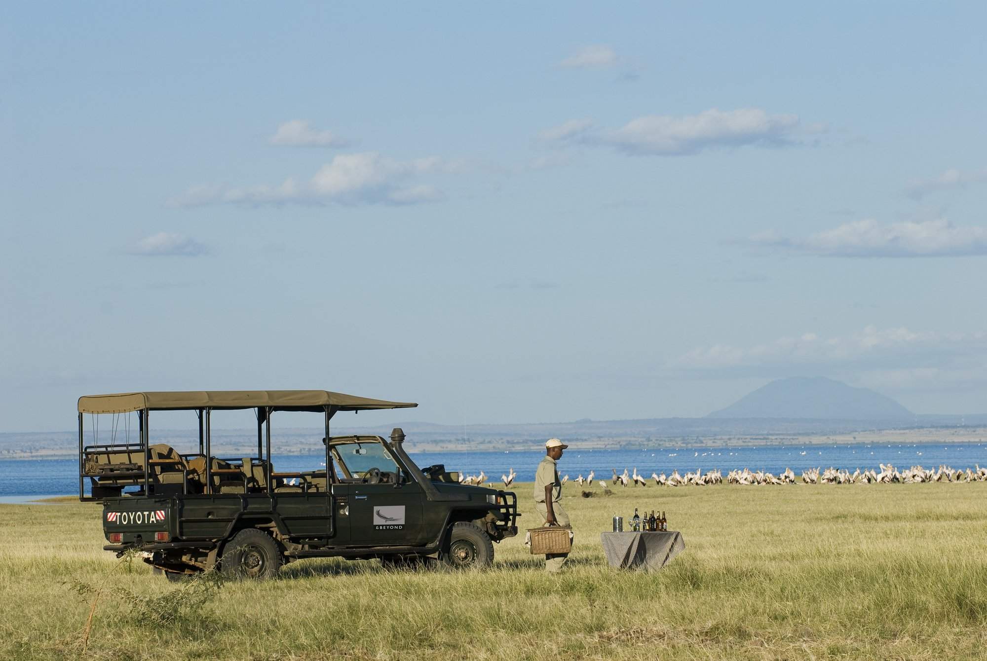
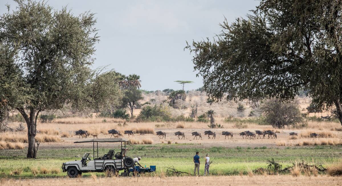
Enjoy a range of activities on this luxury fly-in safari. Explore the remoter regions of Ruaha National Park and Nyerere National Park with phenomenal guides during stays at two impressively comfortable camps that remain perfectly in keeping with their surroundings.
Visiting Nyerere, Ruaha
US$7,740 - US$9,960 per person
Spotted Hyena Fly-in Safari
7 days • 2 locations • 1 country
DAR ES SALAAM AIRPORT TO DAR ES SALAAM AIRPORT
Stay in one of Nyerere National Park's best safari camps before experiencing a truly authentic tented camp in Ruaha. Remote locations, superb guiding and a range of activities await guests during this comfortable fly-in safari.
Visiting Nyerere, Ruaha
US$7,350 - US$9,360 per person
Bat-eared Fox Fly-in Safari
3 days • 1 location • 1 country
DAR ES SALAAM AIRPORT TO DAR ES SALAAM AIRPORT
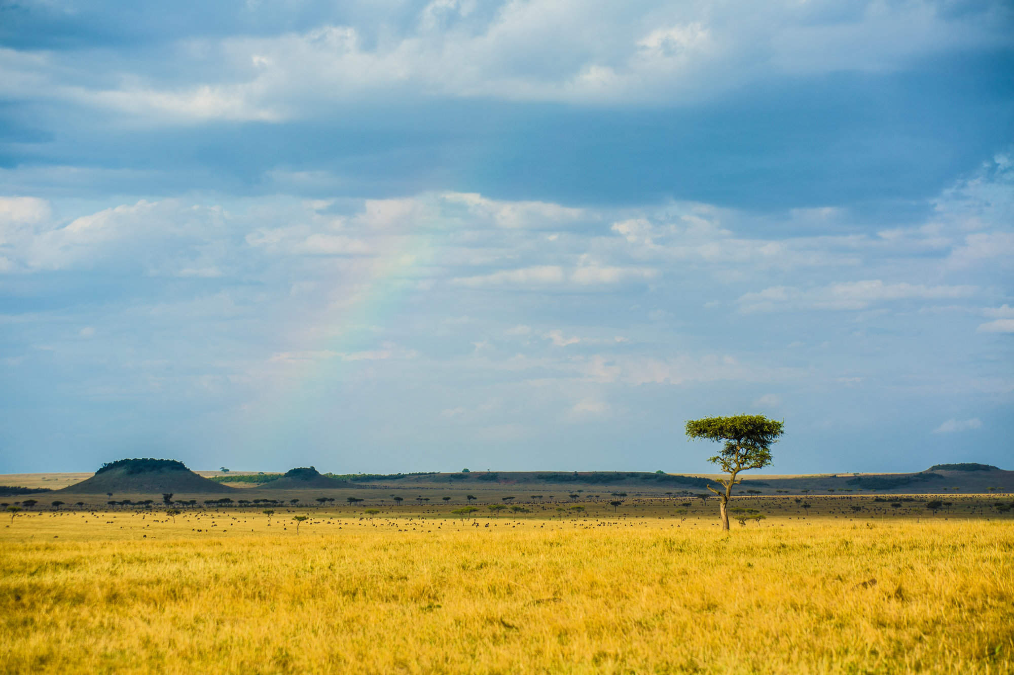
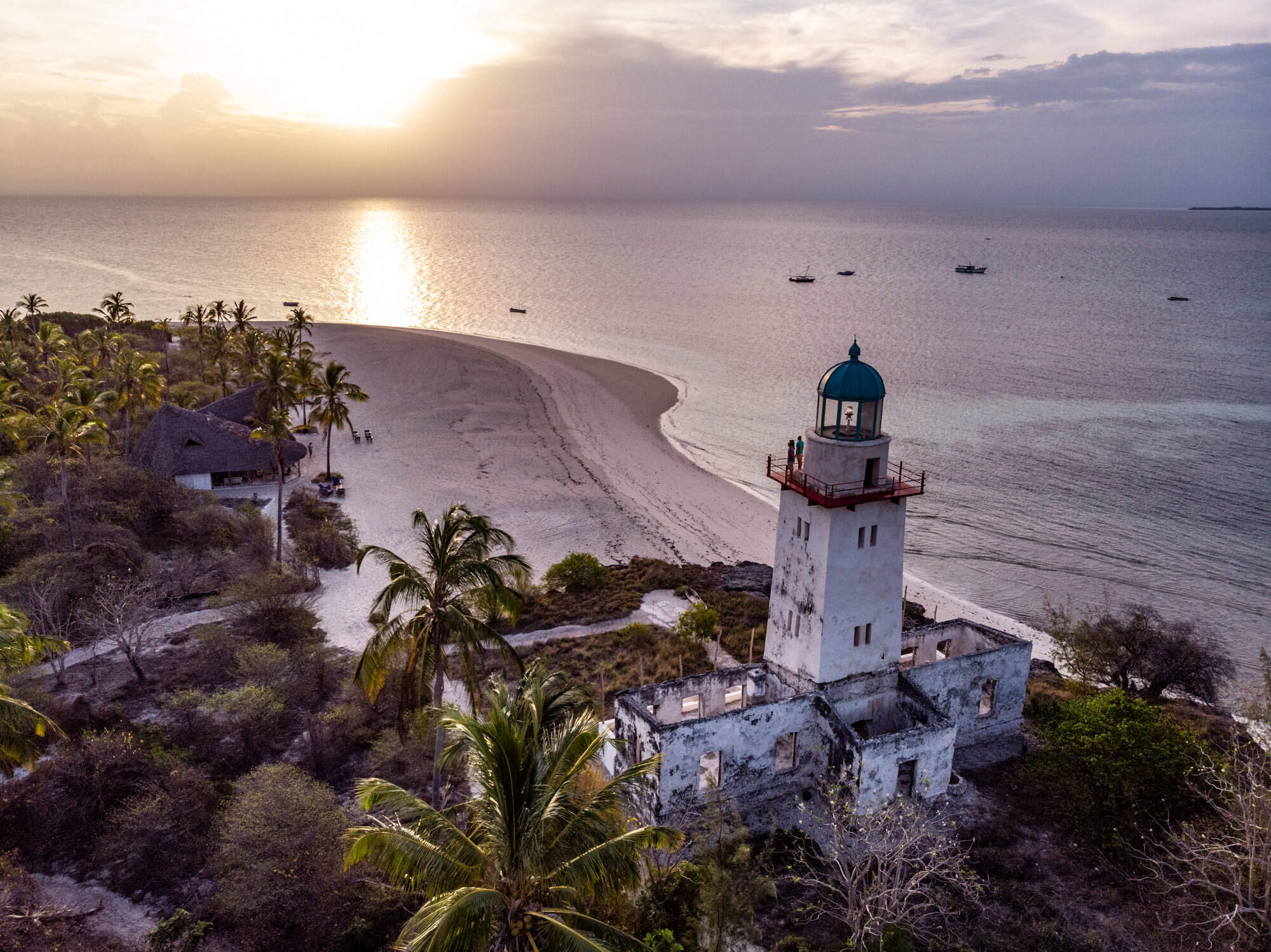
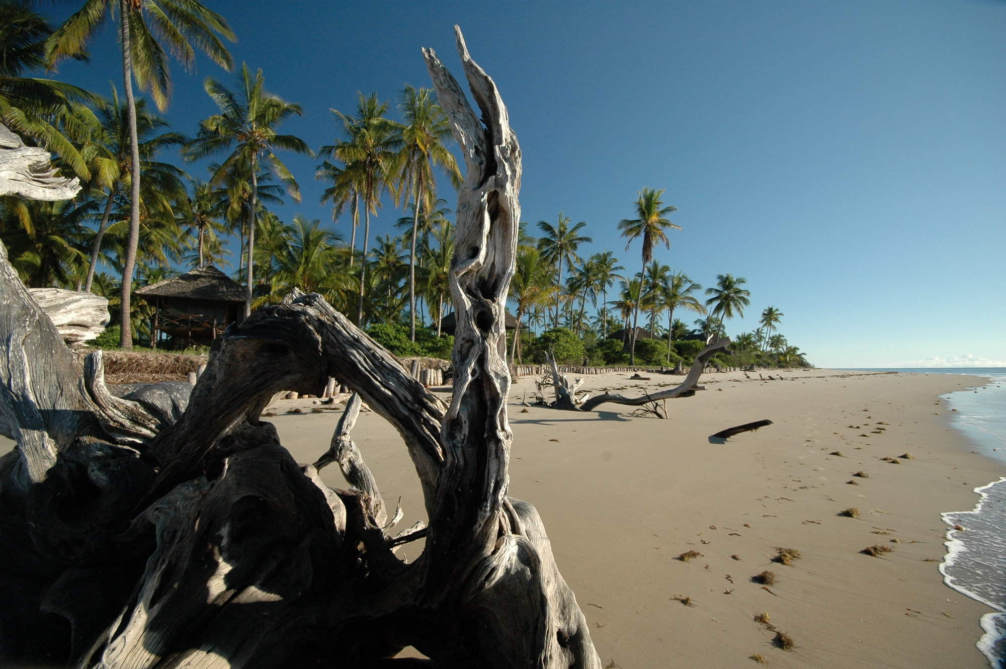
This is an ideal first-time safari and is the perfect add-on to a holiday in Zanzibar. Nyerere National Park is one of Africa’s biggest wildlife areas and is home to an abundance of animals.
Visiting Nyerere
US$2,430 - US$3,030 per person
Dwarf Mongoose Fly-in Safari
6 days • 2 locations • 1 country
DAR ES SALAAM AIRPORT TO DAR ES SALAAM AIRPORT
Stay in two eco-friendly, rustic bush camps in Nyerere National Park and Ruaha National Park. Remote wilderness, a diversity of habitats and a good range of activities are available in these two wildlife havens.
Visiting Ruaha, Nyerere
US$4,110 - US$5,060 per person
Turaco Safari
12 days • 4 locations • 2 country
DAR ES SALAAM AIRPORT TO DAR ES SALAAM AIRPORT
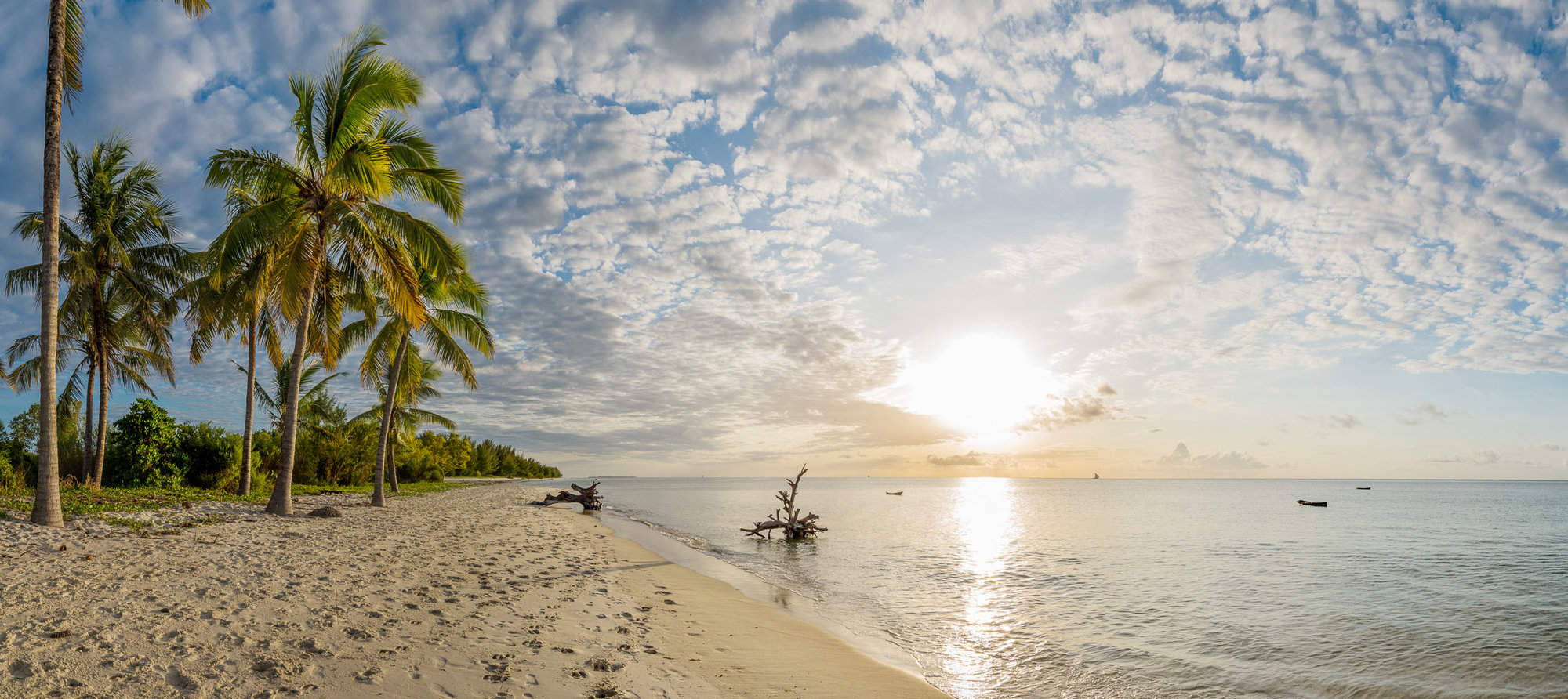
This top-value holiday idea combines two safari areas with a week on the Indian Ocean island of Zanzibar. Photograph lions and elephants, then relax under the palms on a powder-sand beach.
Visiting Nyerere, Ruaha and 2 other areas
US$5,460 - US$6,330 per person
Topi Fly-in Safari
7 days • 2 locations • 1 country
DAR ES SALAAM AIRPORT TO DAR ES SALAAM AIRPORT
Explore Nyerere National Park and Ruaha National Park from two luxurious, colonially styled camps. Chosen for their access to good game viewing and thrilling remoteness, these camps also offer a range of varied safari activities.
Visiting Nyerere, Ruaha
US$6,540 - US$6,870 per person

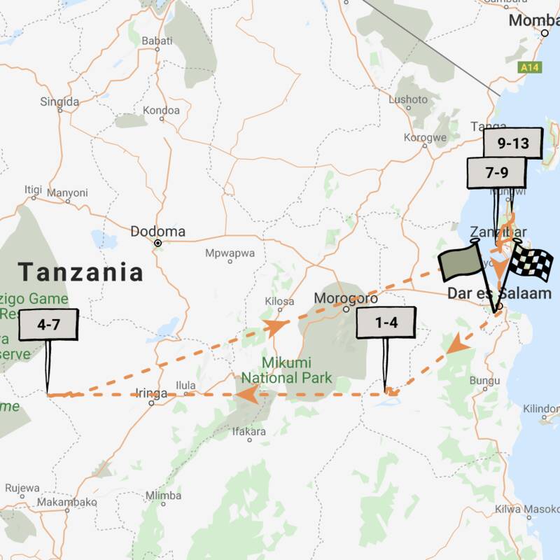
Marabou Stork Fly-in Safari
13 days • 5 locations • 1 country
KILIMANJARO AIRPORT TO DAR ES SALAAM AIRPORT
Four luxurious camps enable exploration of Tanzania’s north and southern regions. With a range of land- and water-based activities available throughout, decidedly comfortable accommodation and applicable long-stay discounts, this adventurous safari is excellent value.
Visiting Tarangire, Serengeti and 3 other areas
US$16,050 - US$23,210 per person


Superb Starling Fly-In Safari
7 days • 2 locations • 1 country
DAR ES SALAAM AIRPORT TO DAR ES SALAAM AIRPORT
Explore Nyerere and Ruaha national parks from two luxurious sister camps within wildlife-rich locations. Both offer a range of land- and water-based activities, a superb standard of guiding and access to beautifully contrasting landscapes.
Visiting Ruaha, Nyerere
US$8,300 - US$11,720 per person

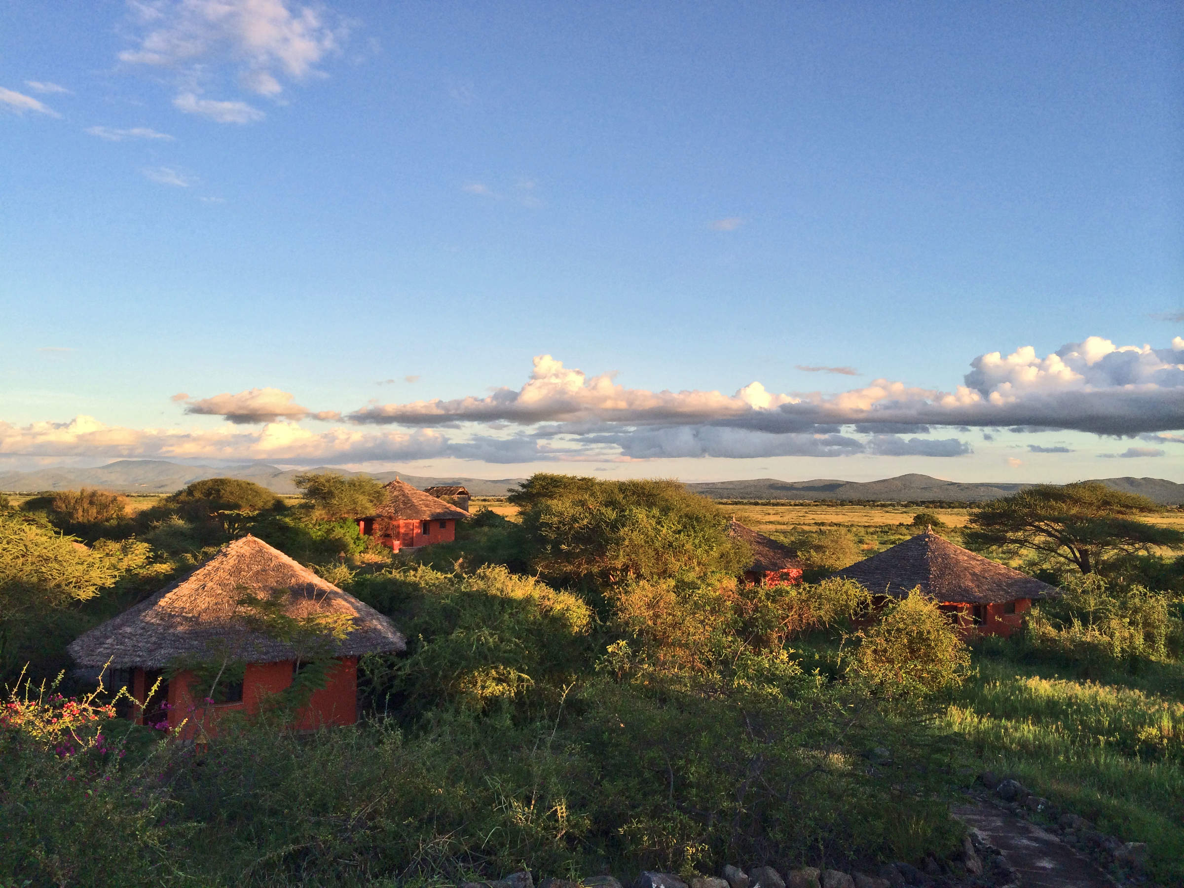
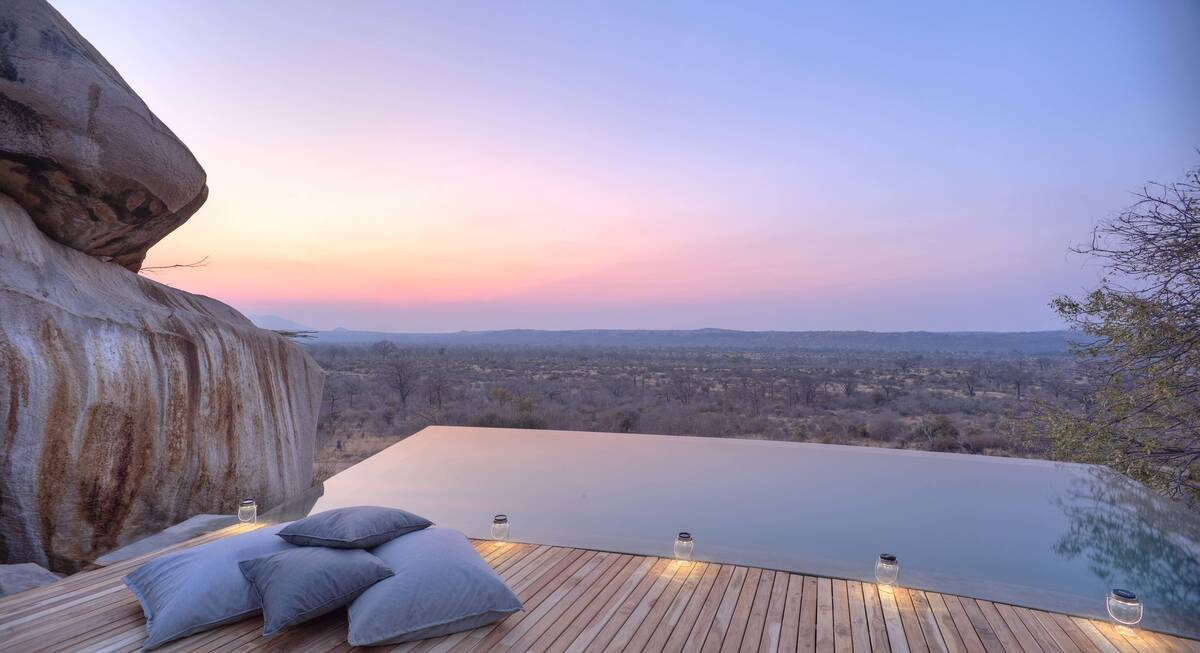
Where to stay in Nyerere
Our suggestions for safari camps in Nyerere National Park
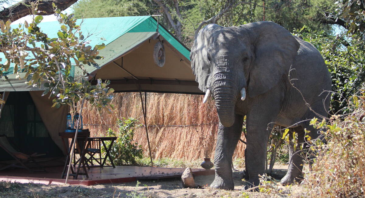
Impala Camp
Impala Camp is a comfortable, excellent-value camp with colourful tented rooms raised on platforms, good guiding and tasty food.
Lake Manze Camp
Lake Manze Camp is a rustic, lakeside bushcamp in Nyerere National Park that offers a great wilderness experience and doesn’t cost the earth.
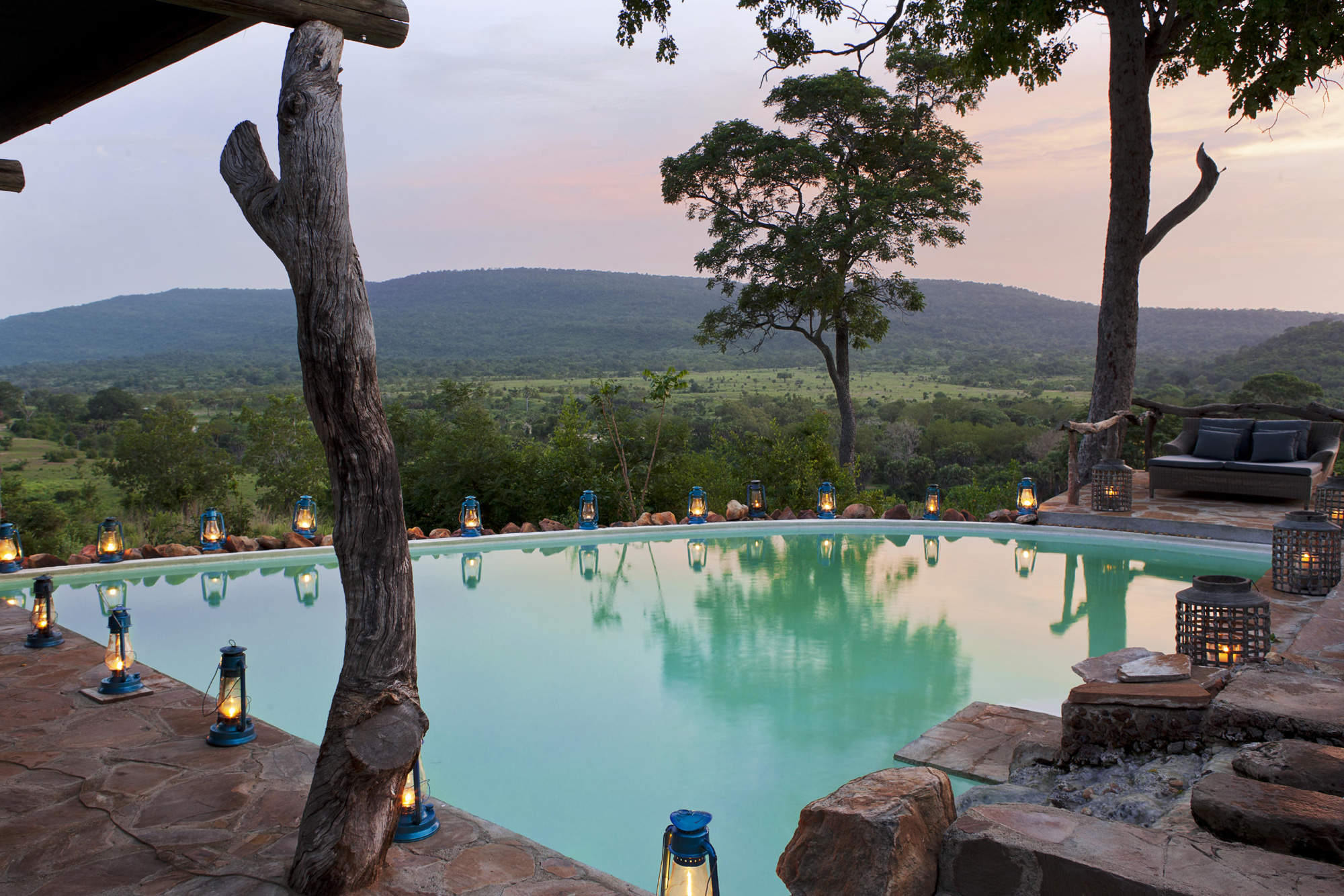
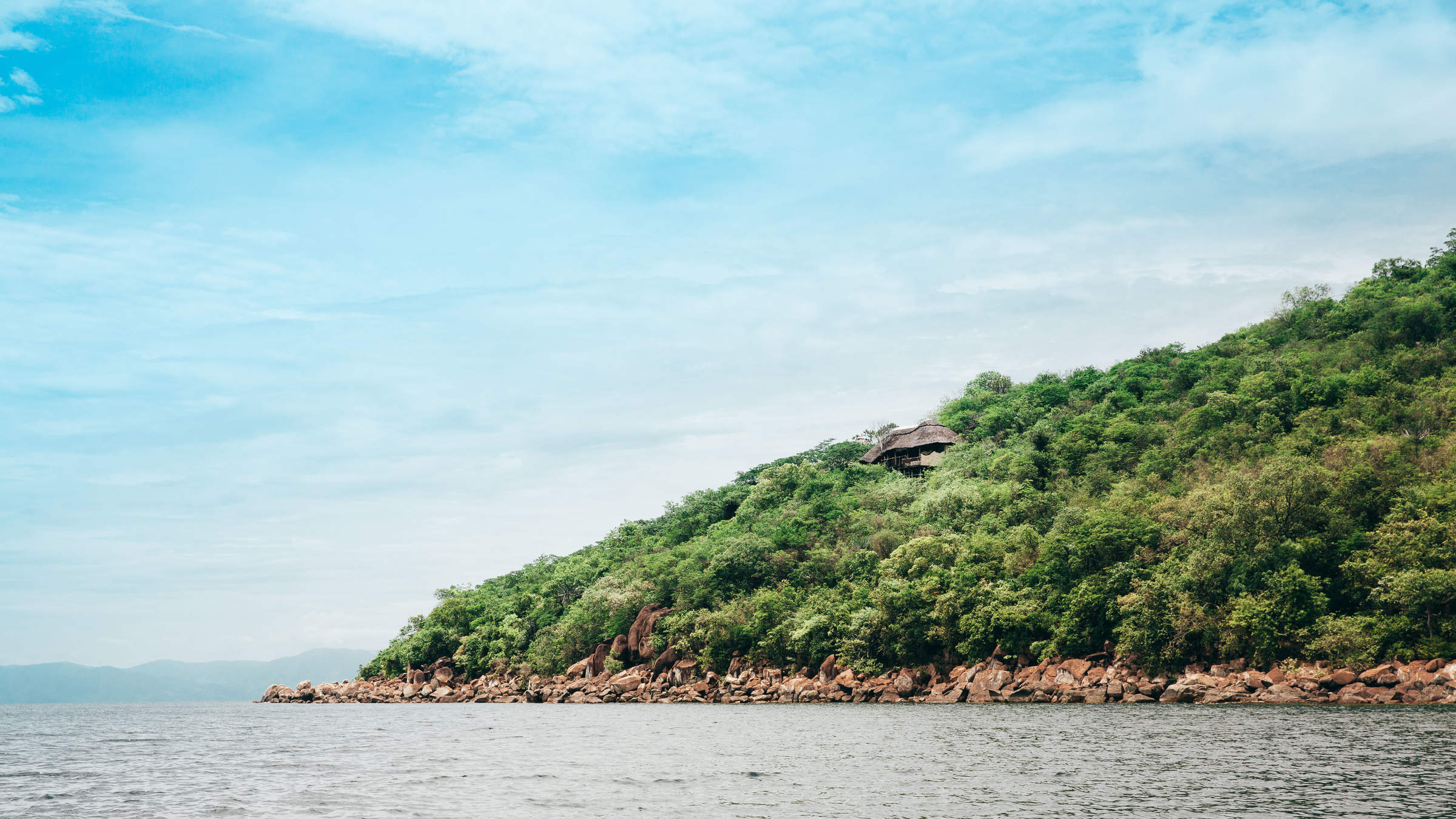
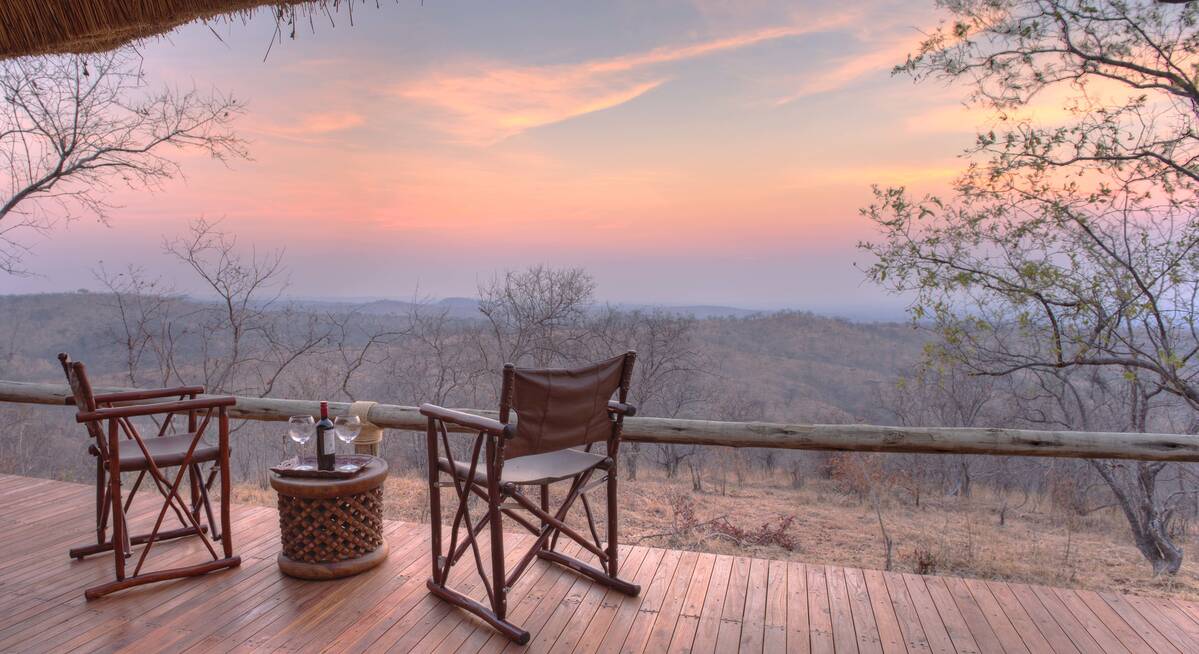
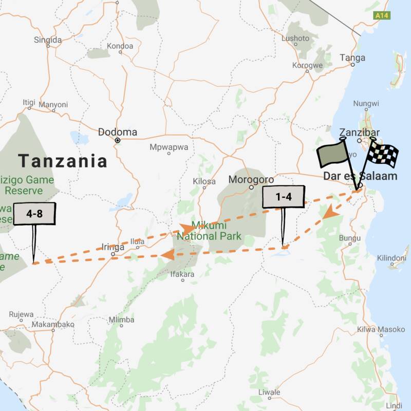
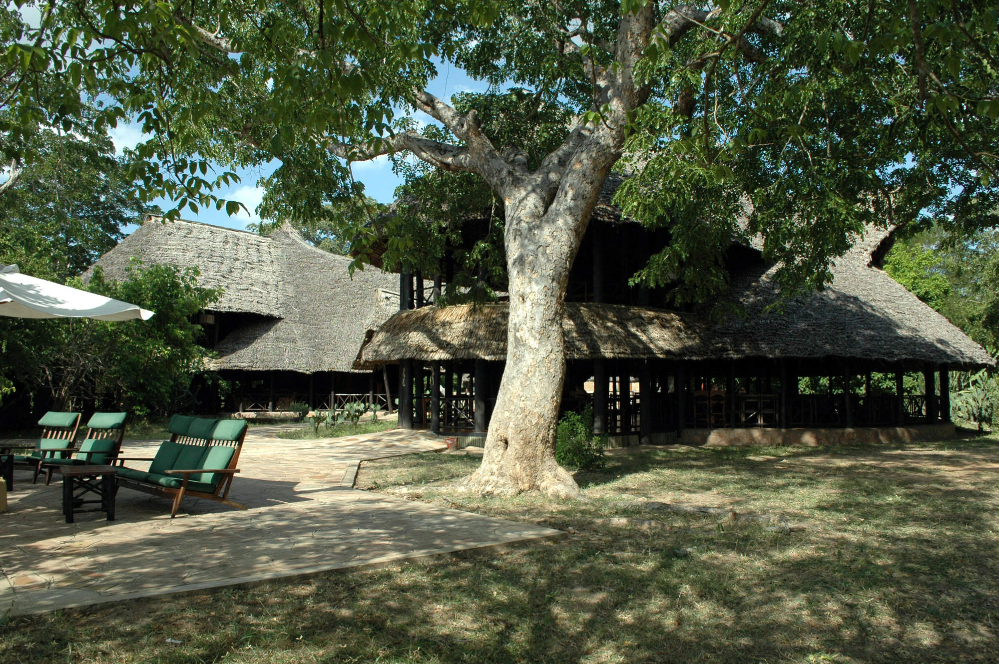
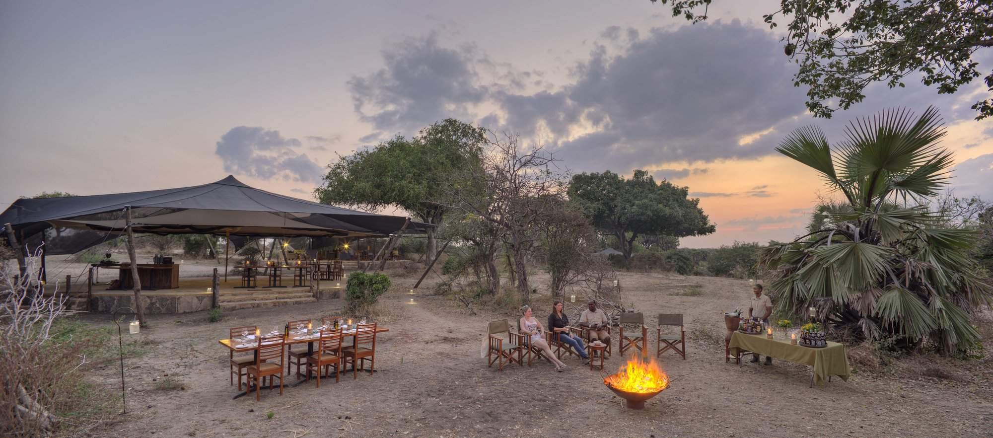
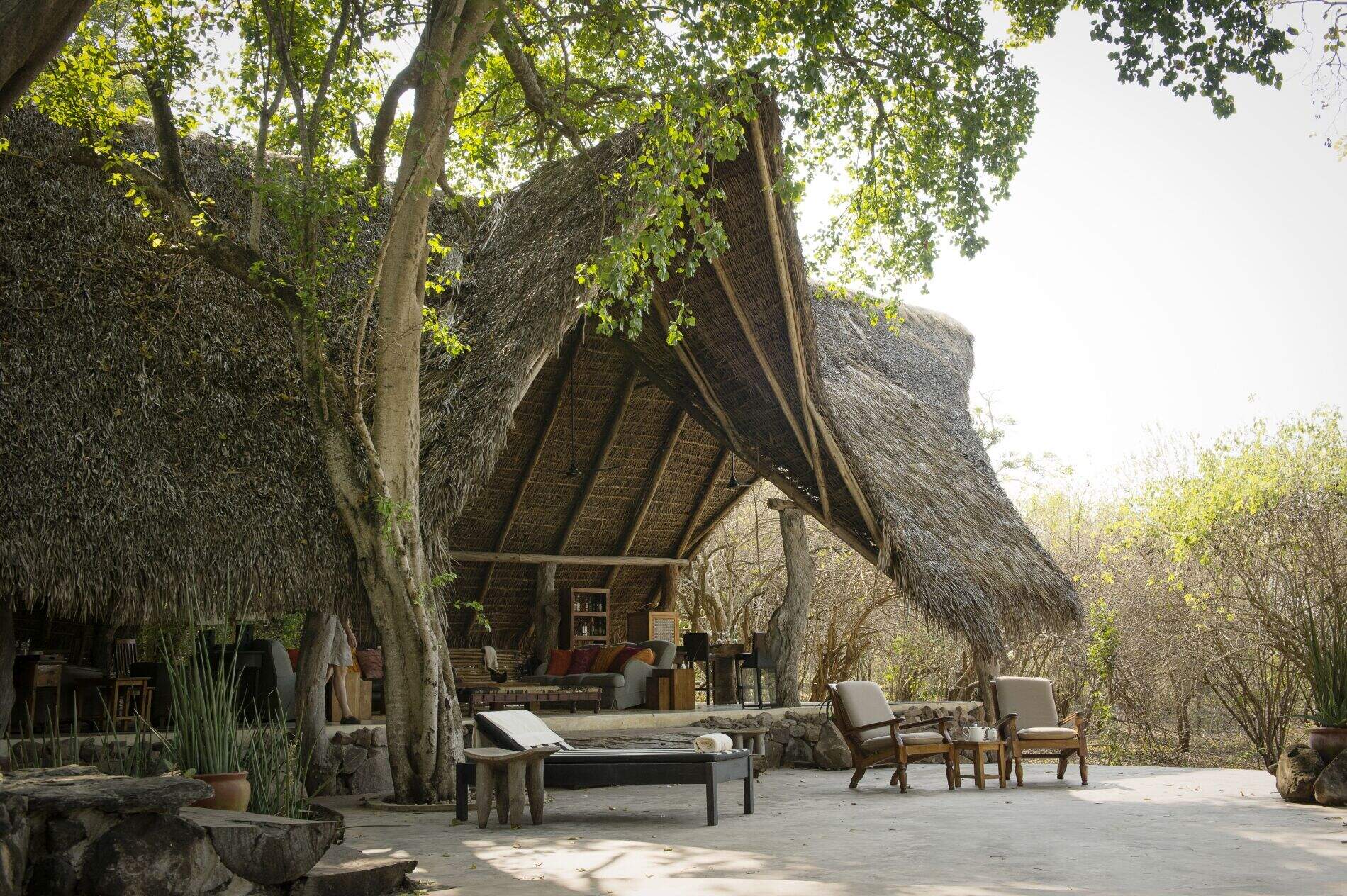
Beho Beho
Beho Beho is one of the best camps we work with in Africa, with gracious hosts, fantastic food and most importantly, excellent guiding.
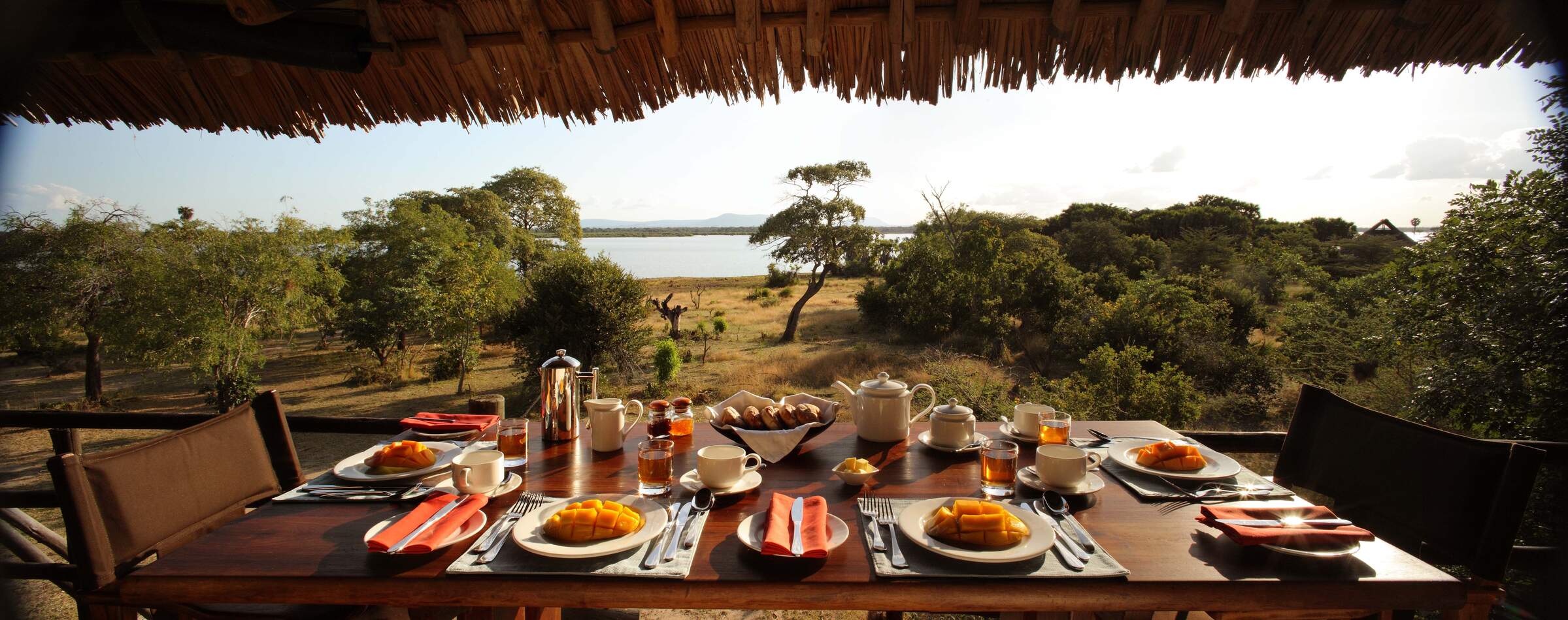
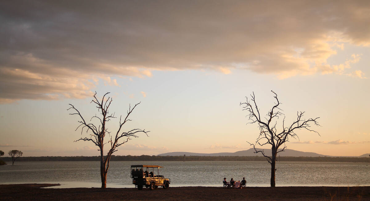
Siwandu
Siwandu is a luxurious and smoothly run camp with beautiful rooms and superb service offering great views over Lake Nzerakera.
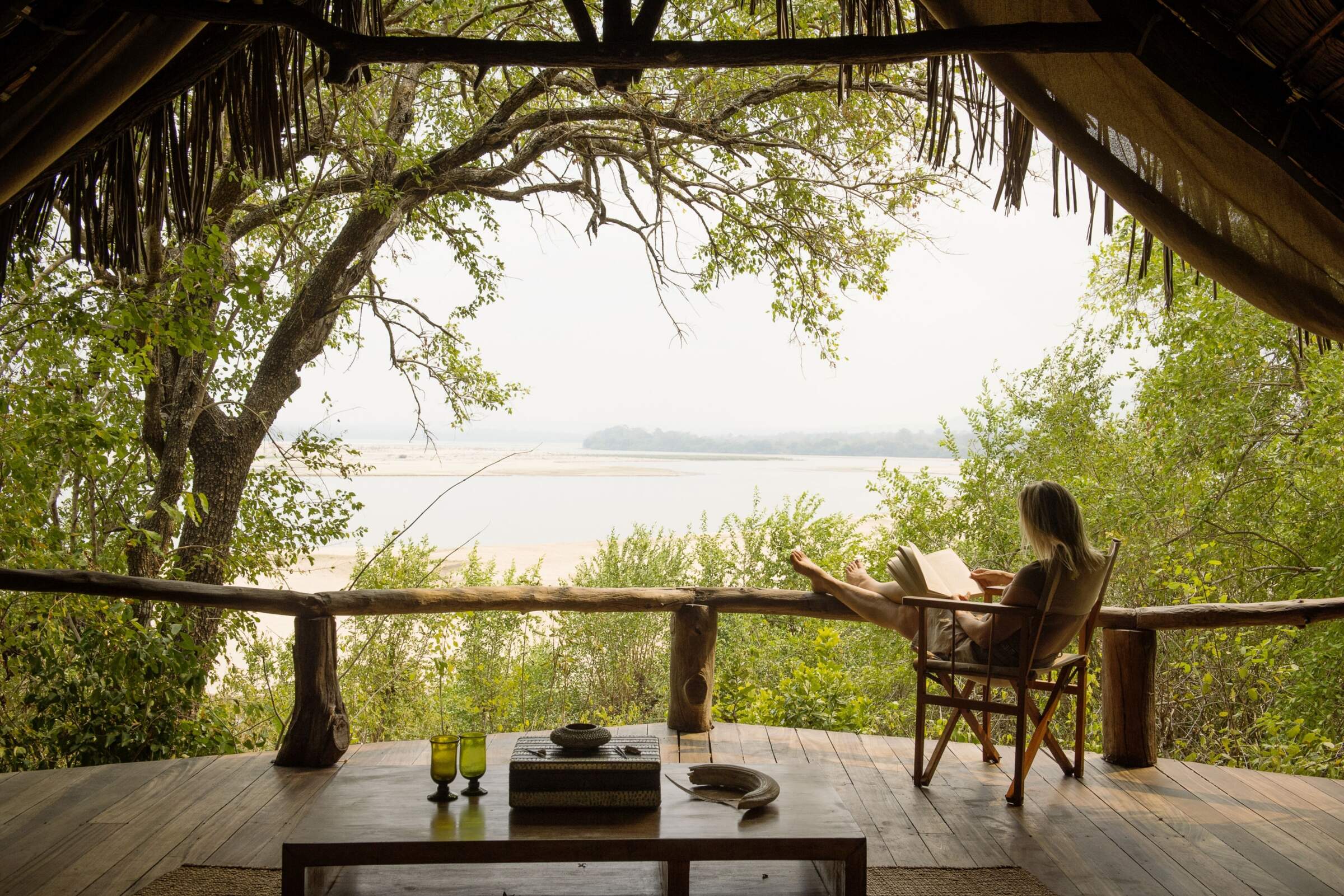
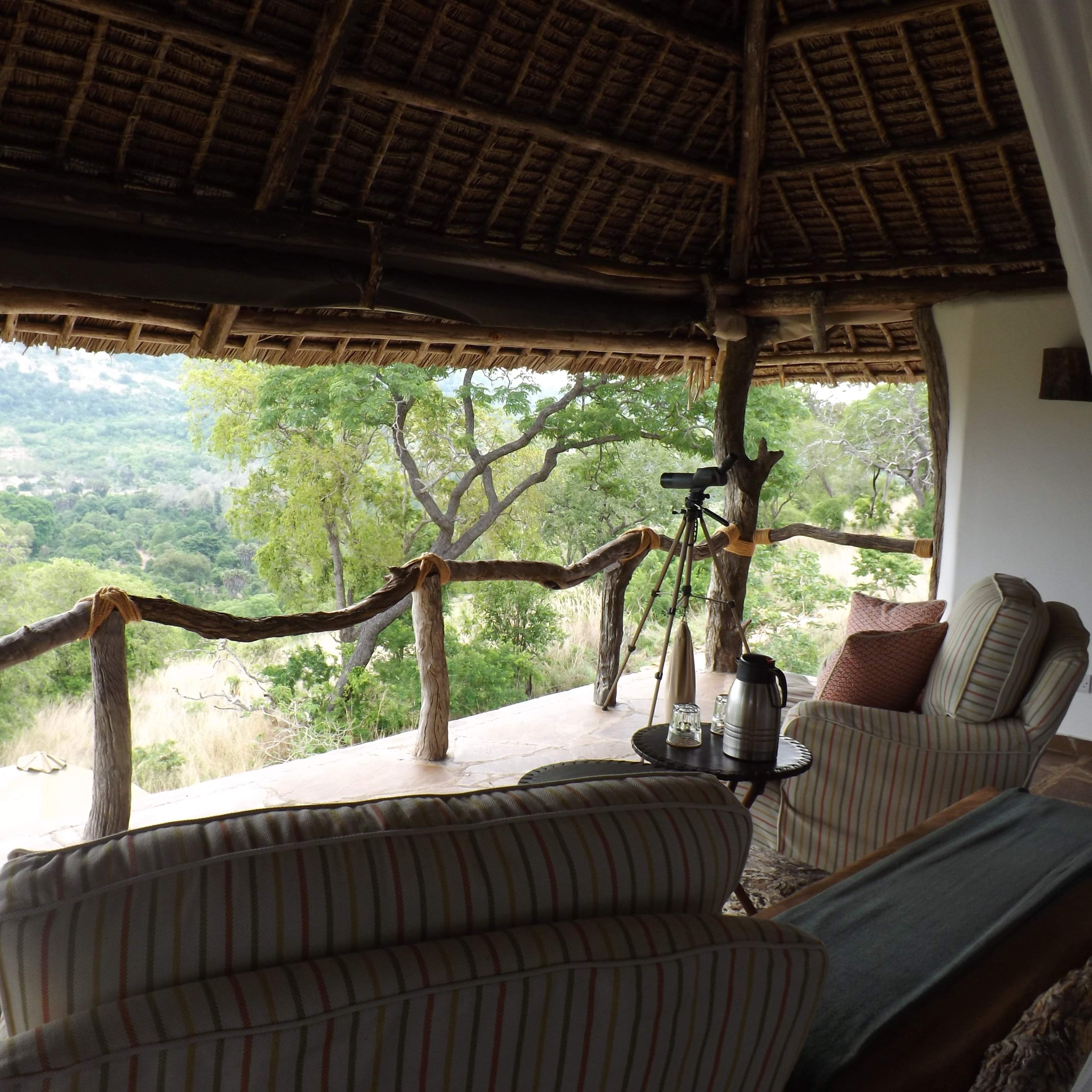
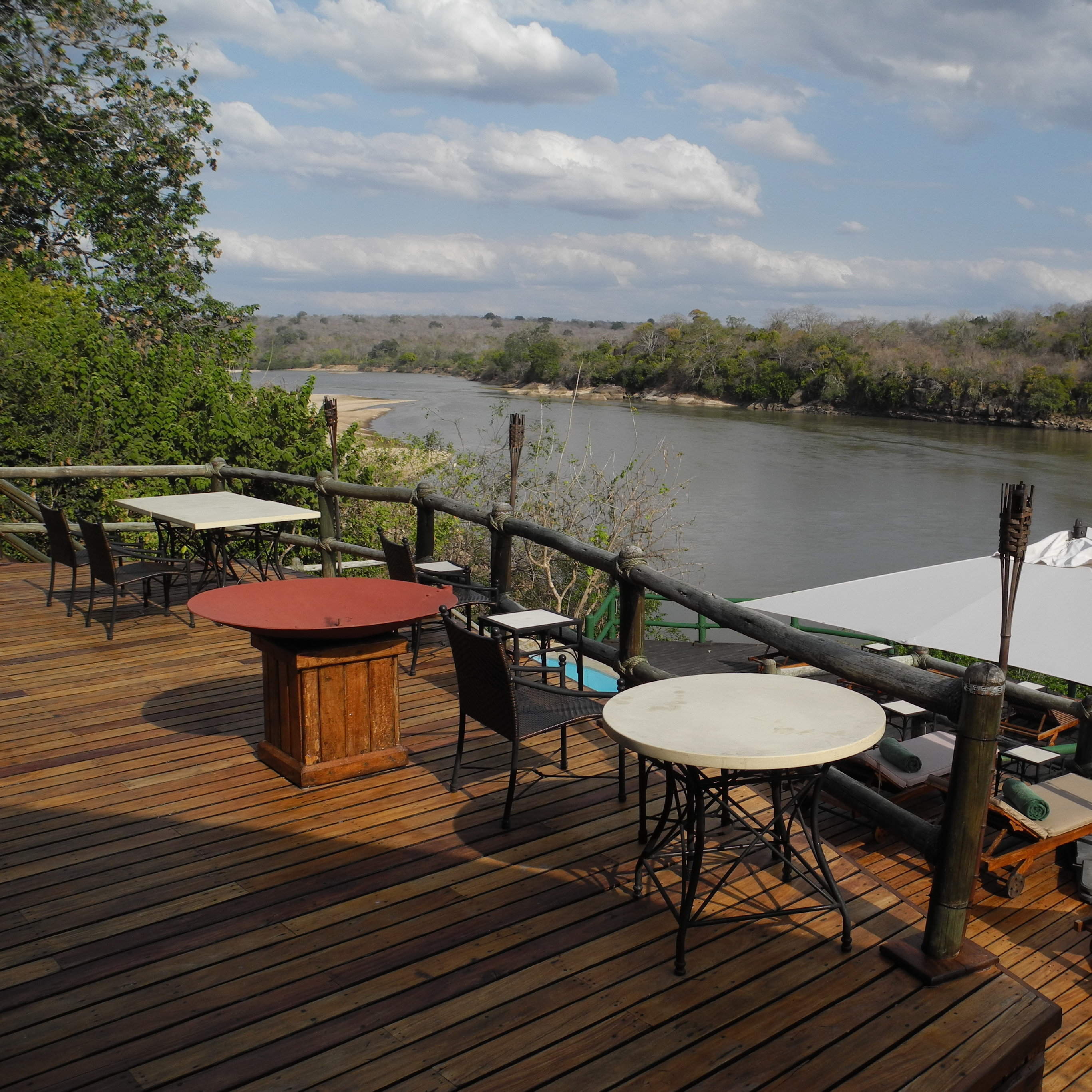
Sand Rivers Camp
The stylishly put together Sand Rivers has an outstanding reputation, with a wonderful location on the Rufiji River and great guides.
Beho Beho Tree-house
Beho Beho Treehouse is a satellite tree platform for just one couple, managed by Beho Beho and ideal as a one-night honeymoon retreat

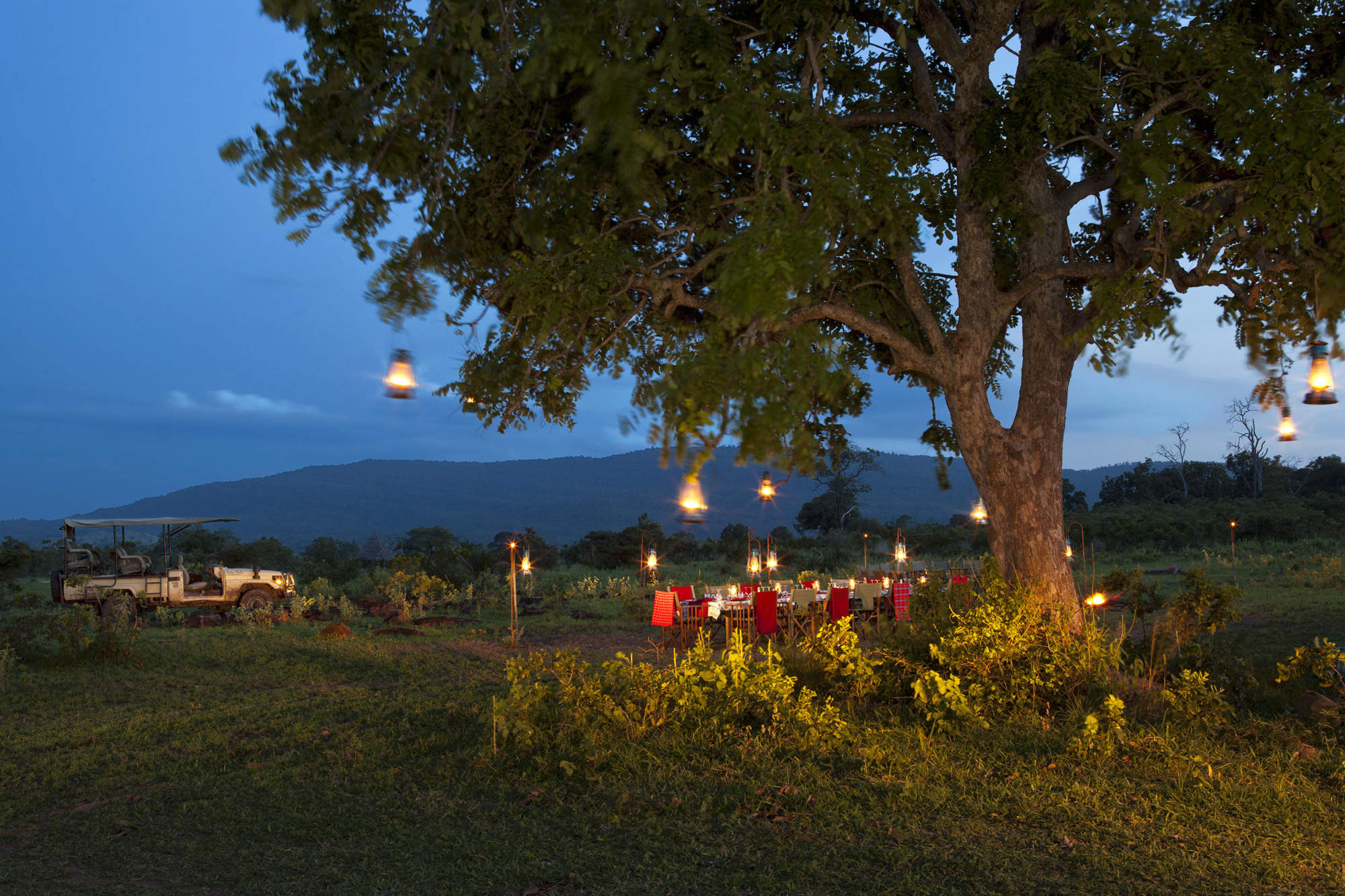
Impala fly-camping
While you're staying at Impala Camp in Nyerere National Park, you can enjoy a few nights' fly-camping in the heart of the bush.
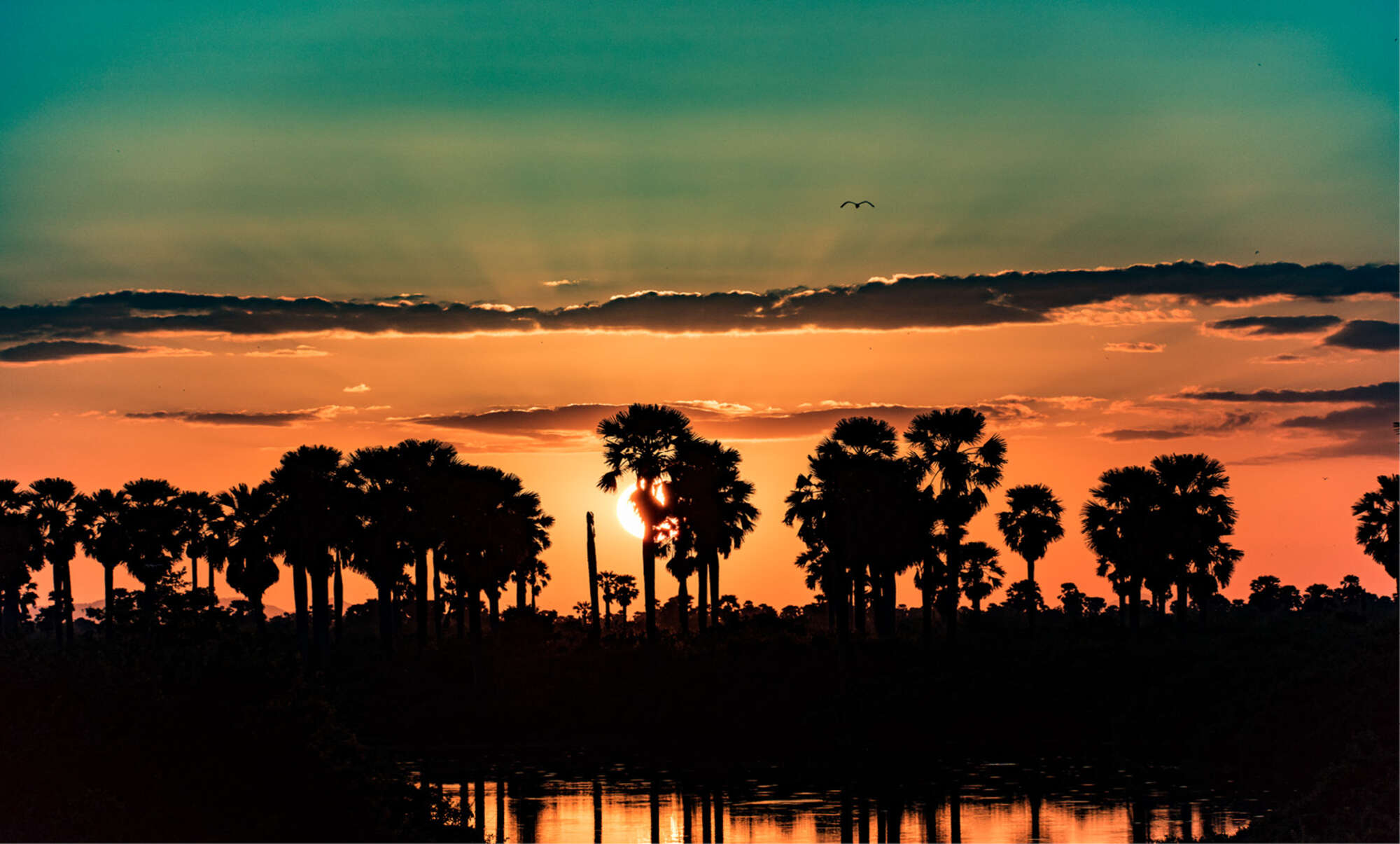
Rufiji River Camp
Rufiji River Camp has a lovely location right on the edge of the Rufiji River and while not luxurious, it is one of the lowest-cost camps in the park.
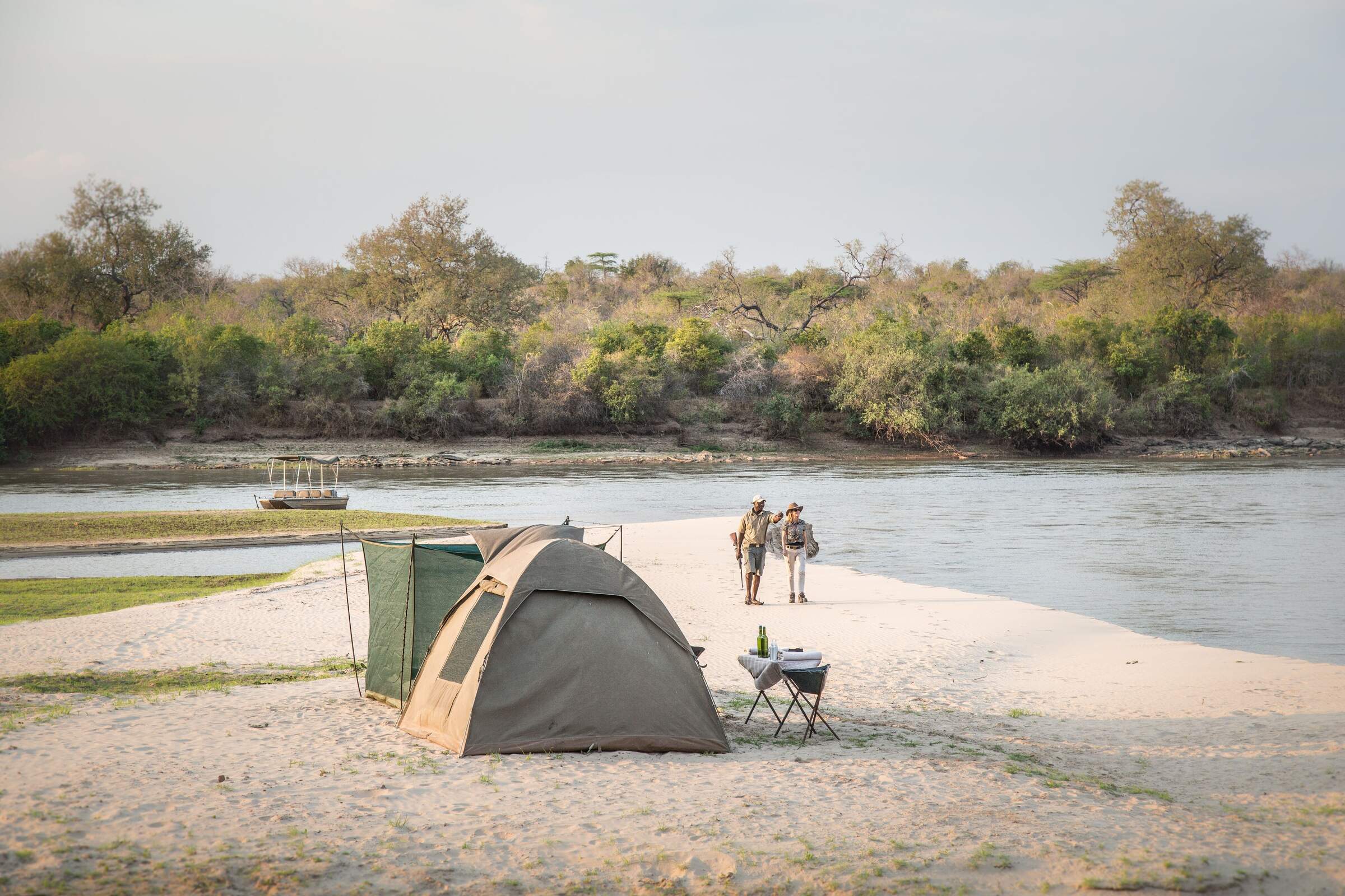
Sand Rivers fly-camp
Sand Rivers fly-camping safaris in Tanzania's Nyerere National Park operate out of Sand Rivers Camp, on the Rufiji River.
Roho ya Selous
Roho ya Selous is a smart tented camp on the west side of lake Nzerakera, close to the park’s best wildlife-viewing areas.
Beho Beho Bailey's Banda
Bailey's Banda at Beho Beho is a luxurious safari lodge in Nyerere National Park which can be booked exclusively for you and your party.
Kiba Point
Kiba Point is the private sister camp of Sand Rivers, available on an exclusive basis, with its own private drivers and staff.
Rufiji River fly-camp
Fly-camping trips can be organised from Rufiji River Camp in Tanzania's Nyerere National Park
Mivumo River Lodge
Mivumo River Lodge is Serena's main lodge in the Selous. Although comfortable, the windows and air-conditioning dispel any wilderness feel.
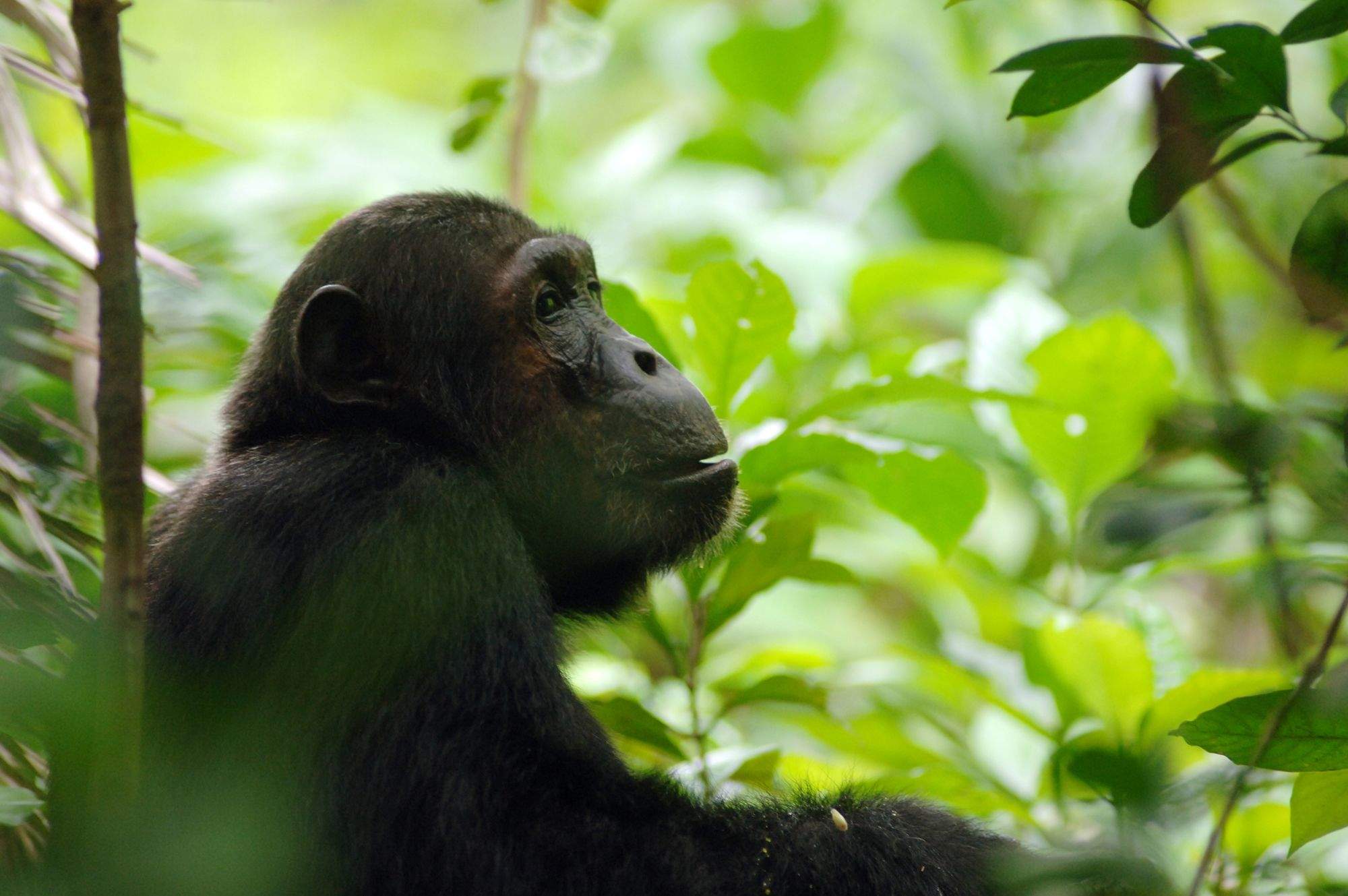
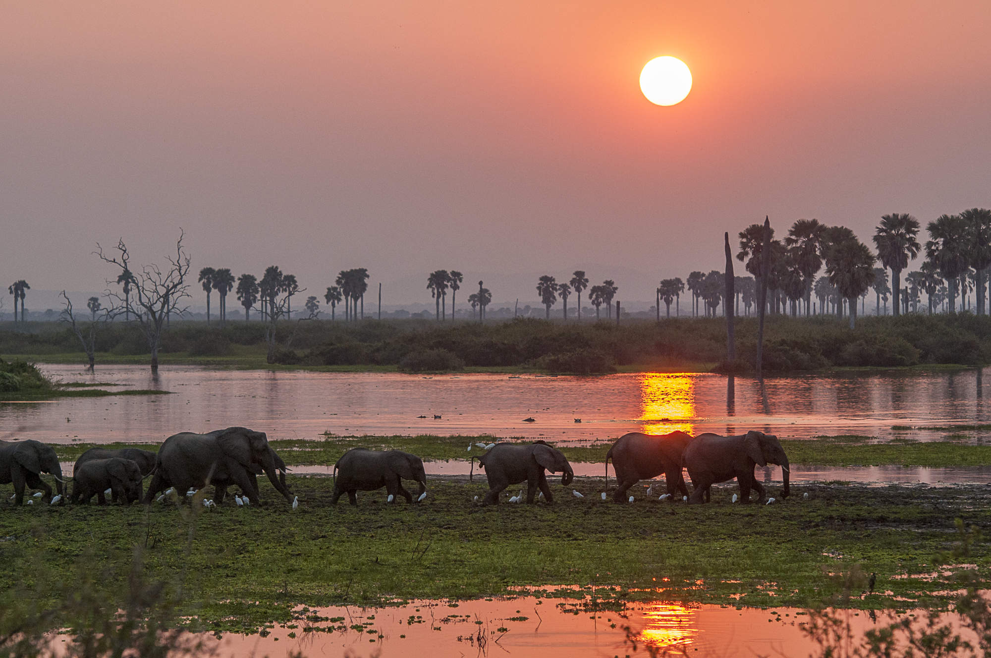
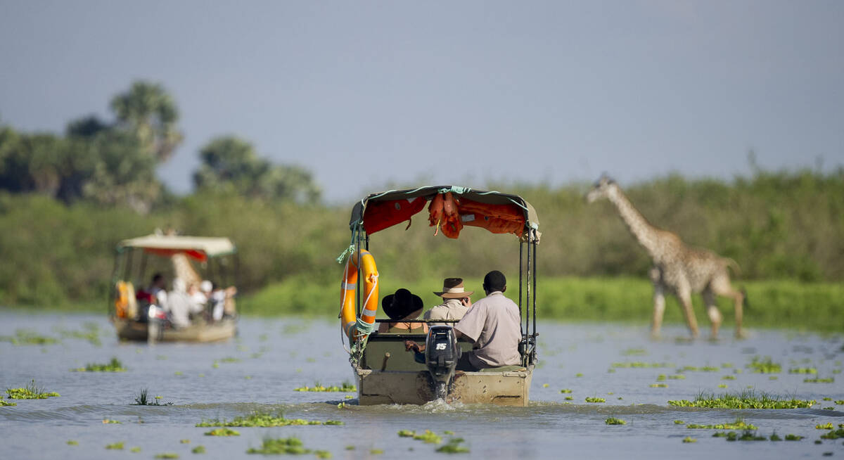
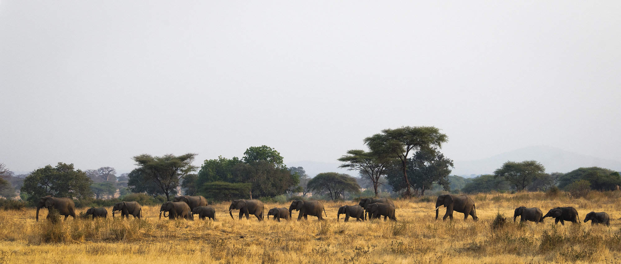
Our travellers’ wildlife sightings in Nyerere
This is their success for sightings in Nyerere National Park.
Click on a species for more detail. How we work this out.

100% success

100% success

99% success

98% success

98% success

97% success

90% success

88% success

76% success

48% success

27% success

14% success

1% success

1% success

0% success