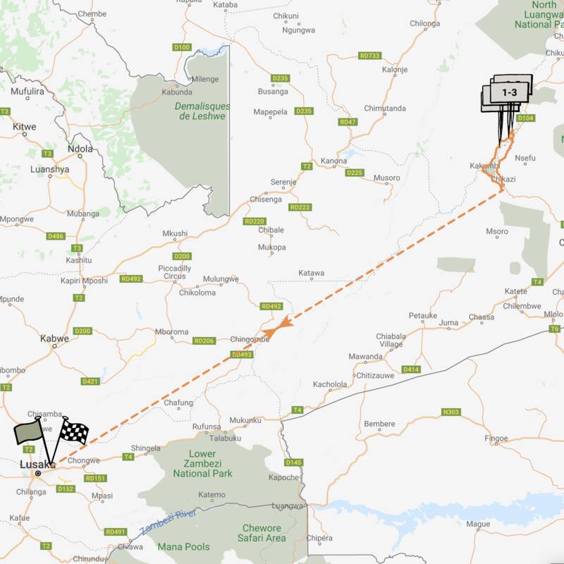
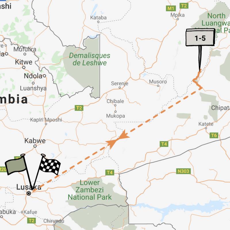
Map of South Luangwa National Park
South Luangwa National Park reference map

Google map of South Luangwa
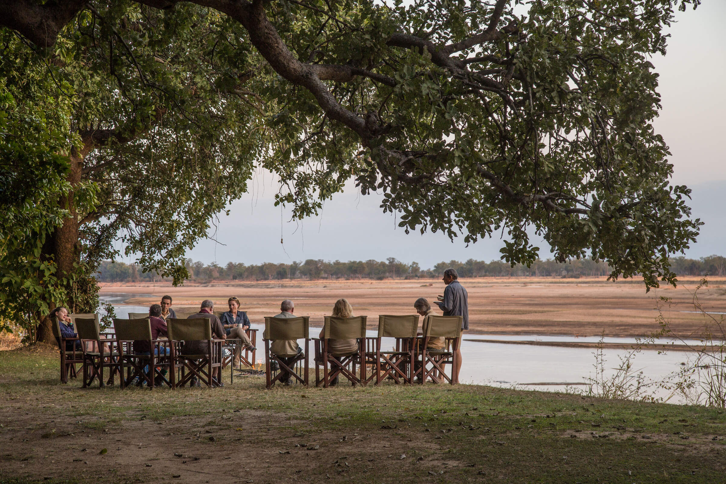
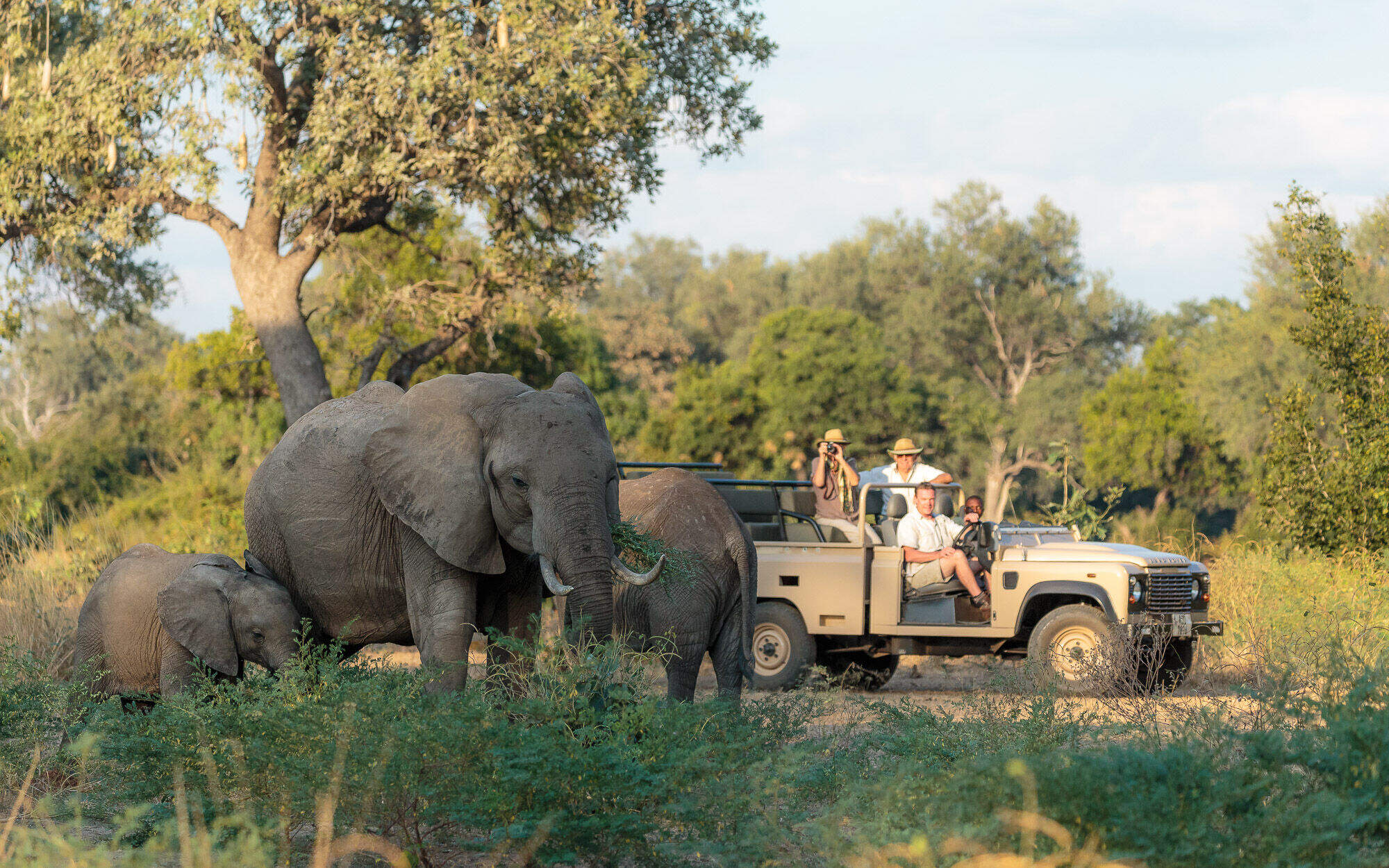
Below are the top 40-or-so safari camps & lodges in South Luangwa National Park - largely grouped around the course of the Luangwa River. Read more about each by clicking the blue markers, and following the links.
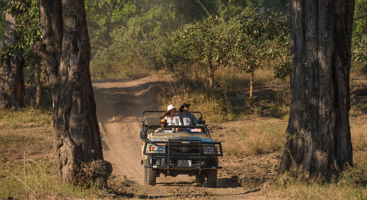
Safaris visiting South Luangwa
Just ideas, we'll always tailor-make a trip for you
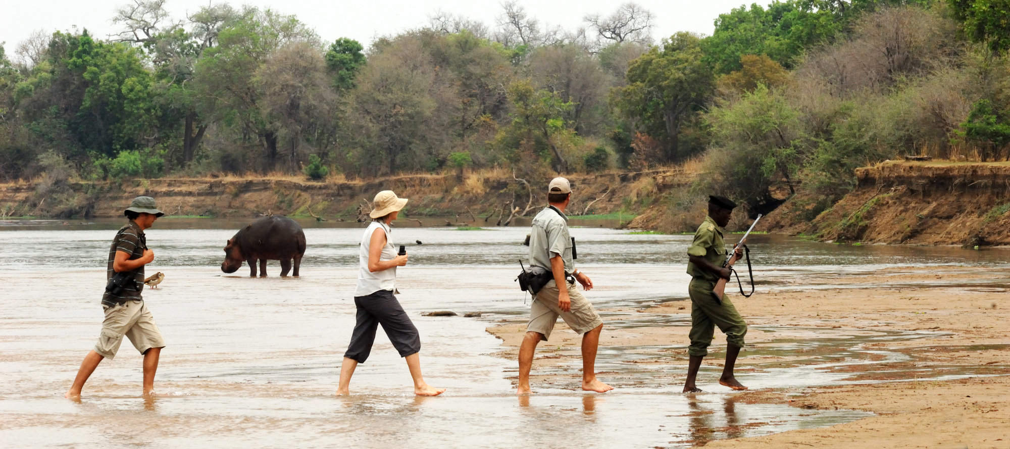
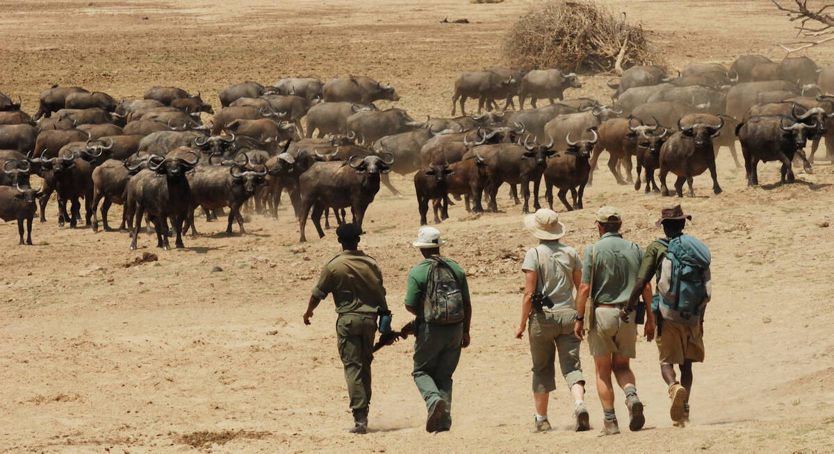
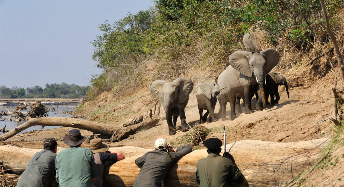
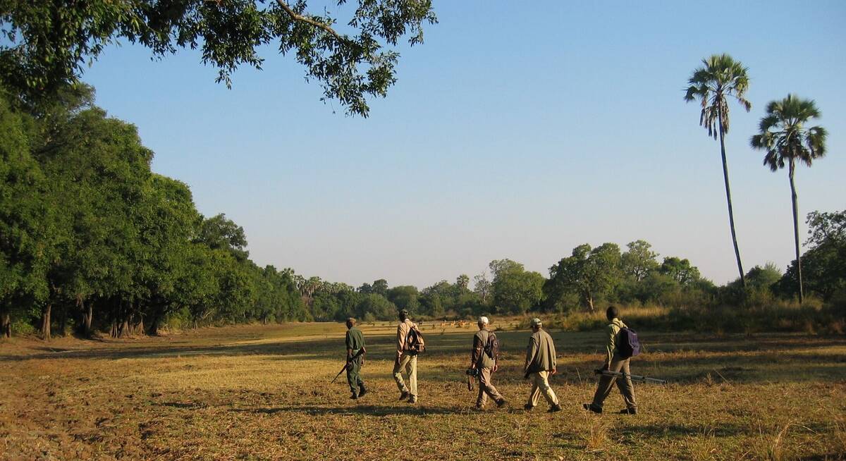
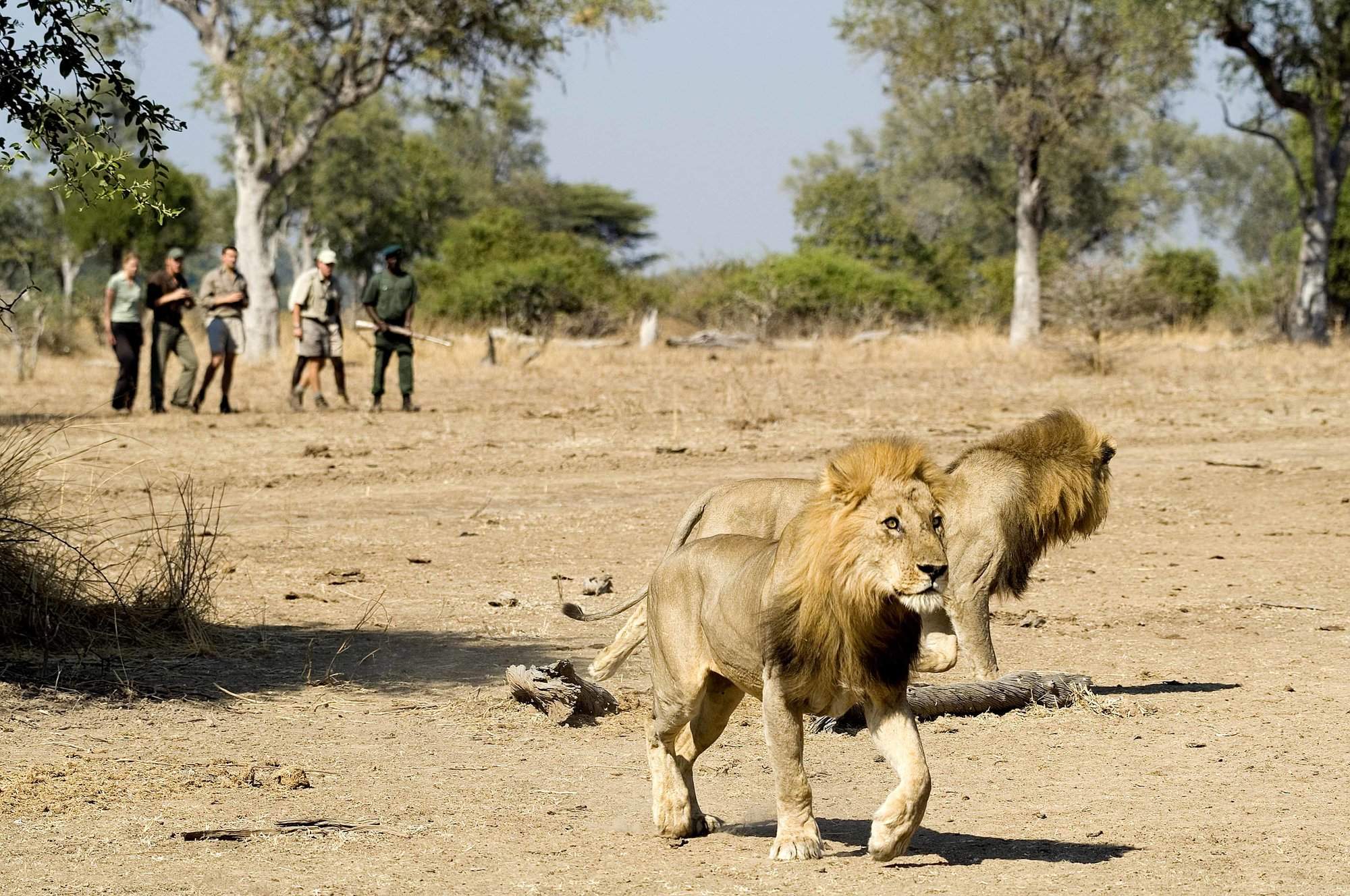
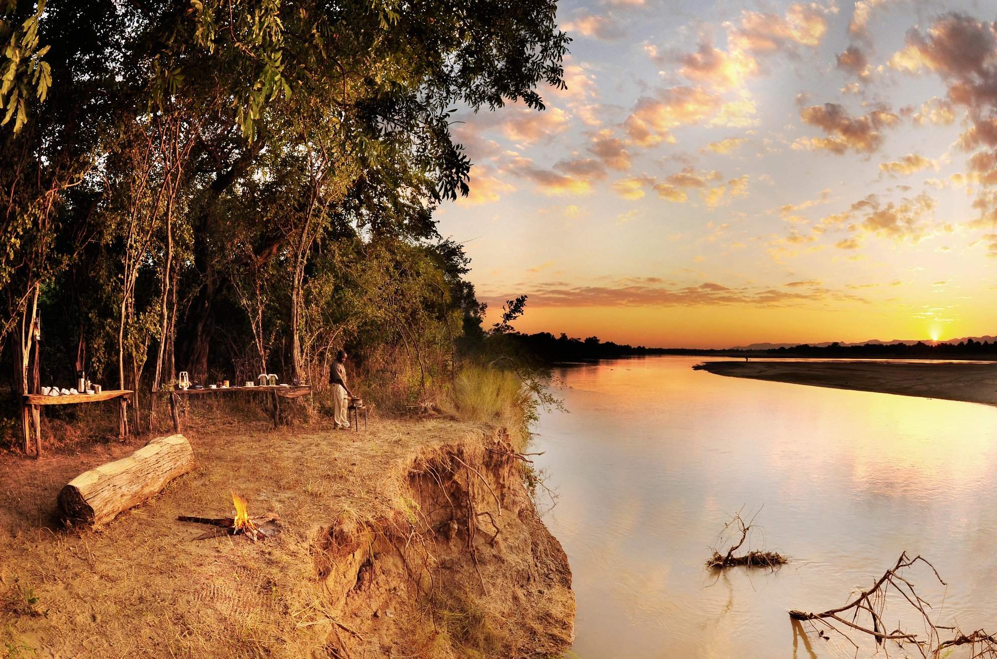
Perekani Walking Trail
10 days • 5 locations • 1 country
LUSAKA AIRPORT TO LUSAKA AIRPORT
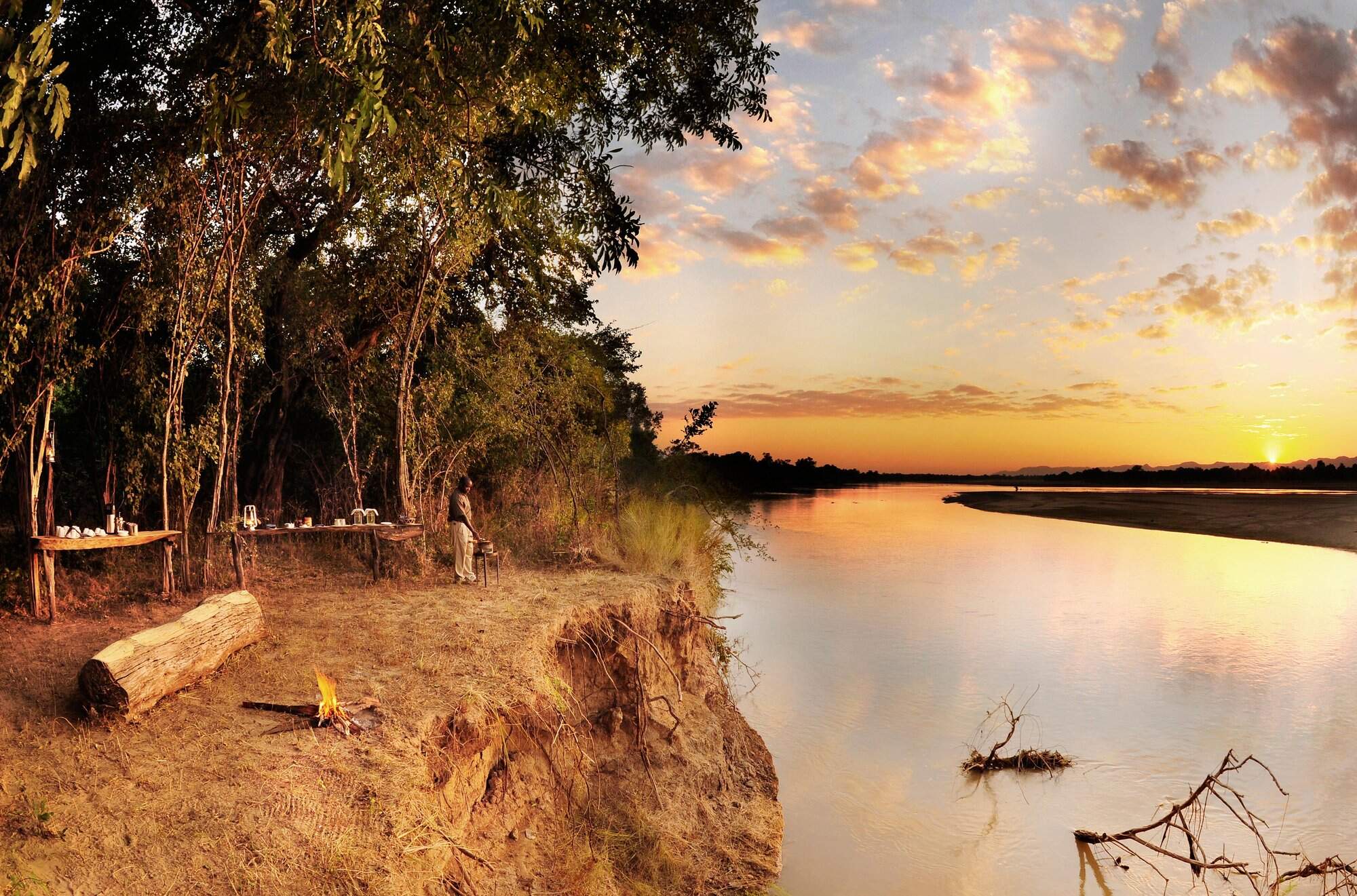
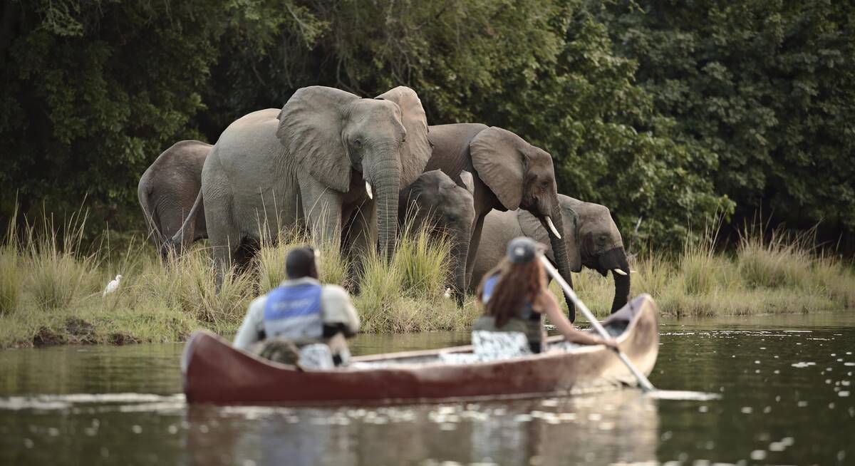
Five smart but rustic bushcamps are the comfortable staging posts for this walking safari in South Luangwa. The route offers outstanding seclusion and rich wildlife with top-quality guiding throughout.
Visiting South Luangwa
US$9,590 - US$12,210 per person
Civet Safari
9 days • 4 locations • 1 country
LUSAKA AIRPORT TO LUSAKA AIRPORT
Combining three intimate bushcamps in the quieter south of the South Luangwa, this safari will appeal to those looking for an interesting mix of walking and vehicle safari.
Visiting South Luangwa
US$8,490 - US$9,970 per person
Scrub Hare Safari
7 days • 3 locations • 1 country
LUSAKA AIRPORT TO LUSAKA AIRPORT
Camps run by welcoming owners with a passion for their environment are rare, and Tafika is one of the best. Combine this with walking safaris at equally excellent bushcamps for the best of the South Luangwa.
Visiting South Luangwa
US$6,290 - US$7,630 per person
Boehm's Zebra Safari
7 days • 2 locations • 1 country
LUSAKA AIRPORT TO LUSAKA AIRPORT
This safari combines two high-quality owner-run camps in a very productive region of the South Luangwa. The guiding is excellent and with its hides this safari is perfect for serious photographers.
Visiting South Luangwa
US$7,490 - US$9,410 per person

Hippo Safari
10 days • 4 locations • 1 country
LUSAKA AIRPORT TO LIVINGSTONE AIRPORT
Combining excellent game with aspects of remoter safari in South Luangwa, as well as the cultural delights of Livingstone, this trip also makes use of long-stay discounts, making it an excellent-value and well-rounded adventure.
Visiting South Luangwa, Livingstone
US$7,360 - US$8,780 per person
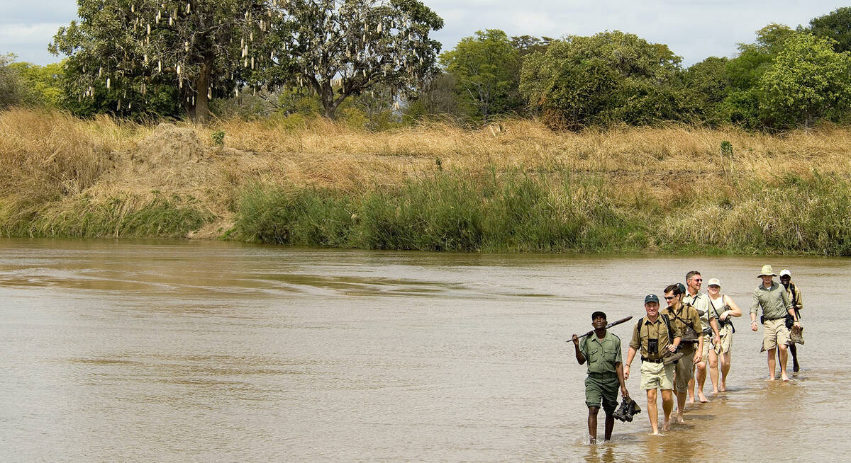

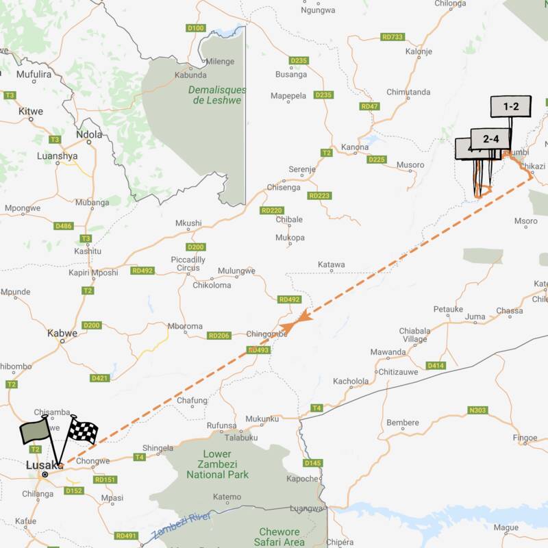
Robin Pope Walking Safari
7 days • 3 locations • 1 country
LUSAKA AIRPORT TO LUSAKA AIRPORT
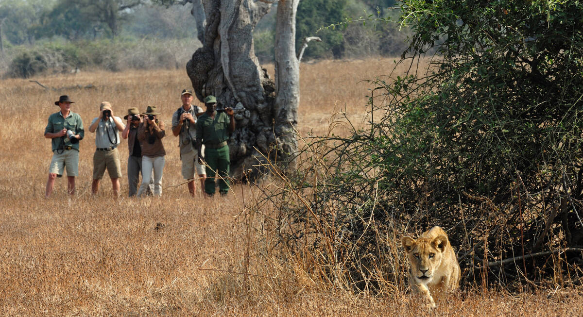
The definitive, original mobile walking safari; explore the remote north of the South Luangwa on foot while staying in a simple mobile camp that moves with the group.
Visiting South Luangwa
US$7,370 - US$8,500 per person

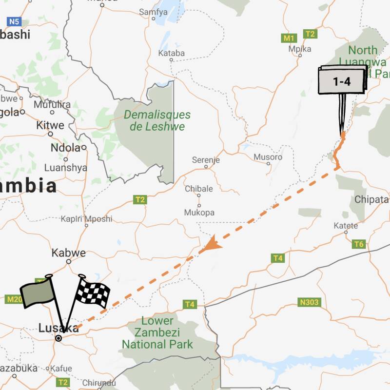
Duiker Safari
10 days • 3 locations • 1 country
LUSAKA AIRPORT TO LUSAKA AIRPORT
Three luxurious bushcamps in stunning riverside locations, split between the South Luangwa and Lower Zambezi national parks, offer a wide variety of expert-guided safari activities in stunning game-rich environments.
Visiting Lower Zambezi, South Luangwa
US$10,960 - US$14,470 per person
Nile Monitor Safari
6 days • 2 locations • 1 country
LUSAKA AIRPORT TO LUSAKA AIRPORT
Great-value South Luangwa safari to two sister camps: a classic safari camp for 4WD safaris by day and night and its simpler sibling: a remote, seasonal bushcamp for expert-guided walking safaris.
Visiting South Luangwa
US$4,800 - US$4,800 per person

Hyena Safari
11 days • 4 locations • 2 country
VICTORIA FALLS AIRPORT TO LILONGWE AIRPORT
Mix relaxation and adventure on a safari combining the South Luangwa with Victoria Falls and the beaches of Lake Malawi. These three locations are among the most iconic in southern Africa.
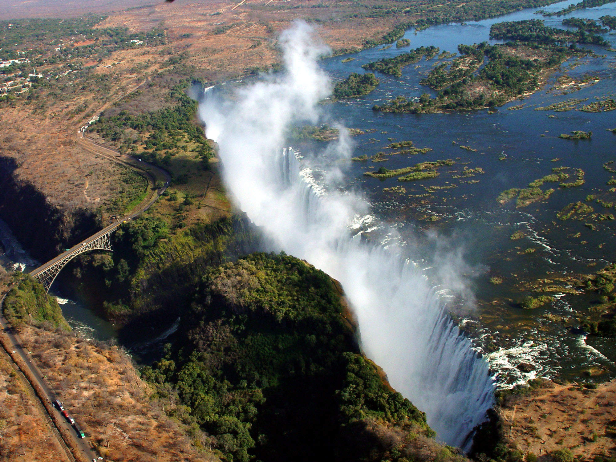
Visiting Livingstone, South Luangwa and 1 other area
US$9,490 - US$11,910 per person


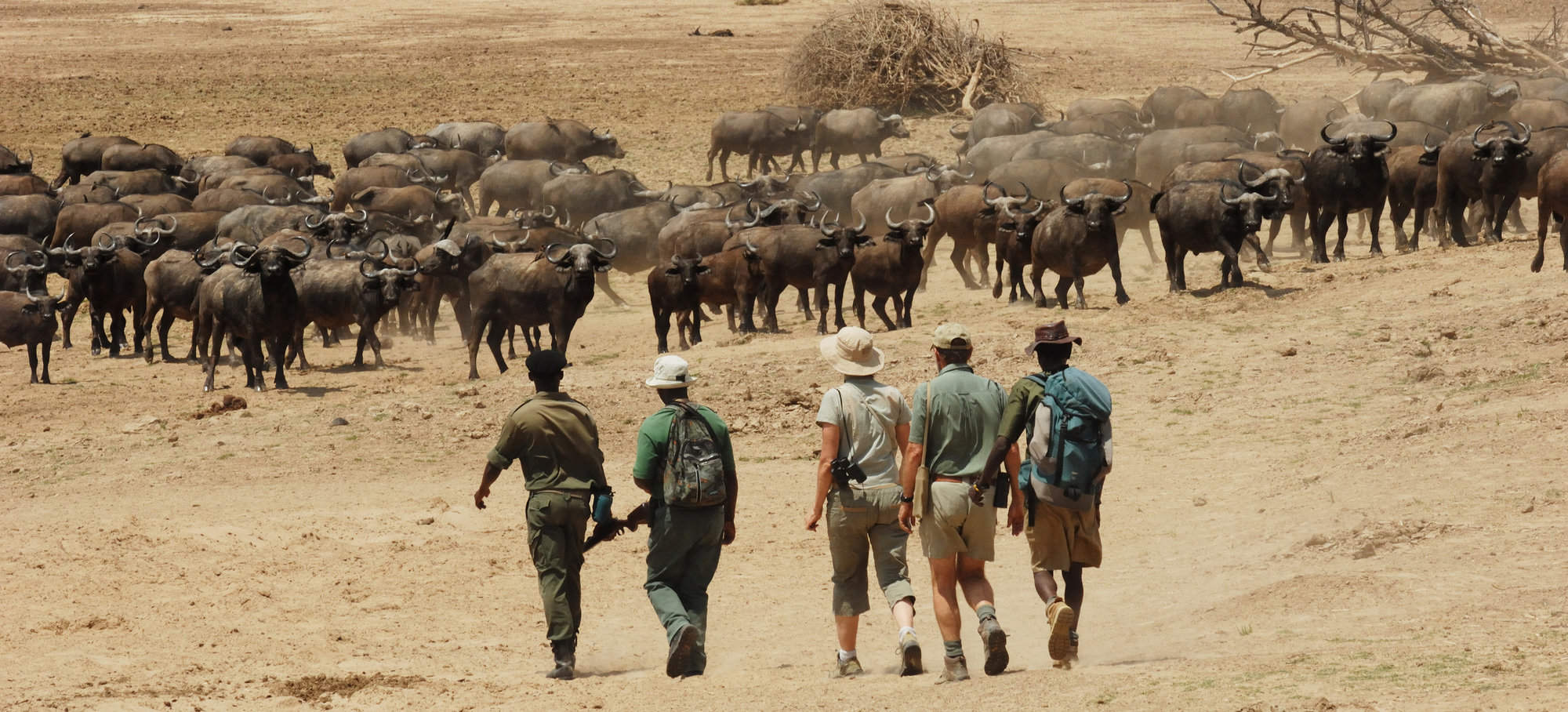
Crawshay's Zebra Safari
10 days • 4 locations • 1 country
LUSAKA AIRPORT TO LUSAKA AIRPORT
This superb safari combines two of Zambia’s best national parks, the South Luangwa and the Lower Zambezi. The camps are small and high quality with excellent safari guides.
Visiting Lower Zambezi, South Luangwa
US$10,460 - US$13,820 per person

Looking for inspiration on where to travel next?
Visit our trip chooser to explore your options and find inspiration for your perfect African adventure
Inspire meWhere to stay in South Luangwa
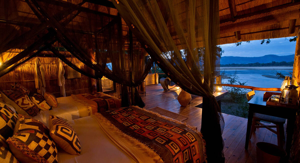
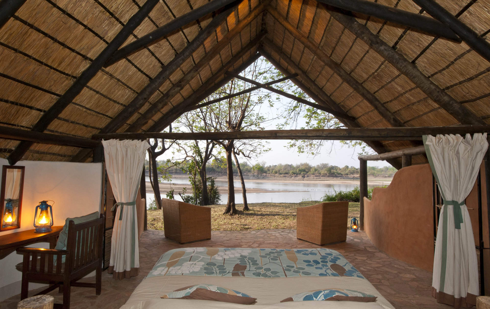
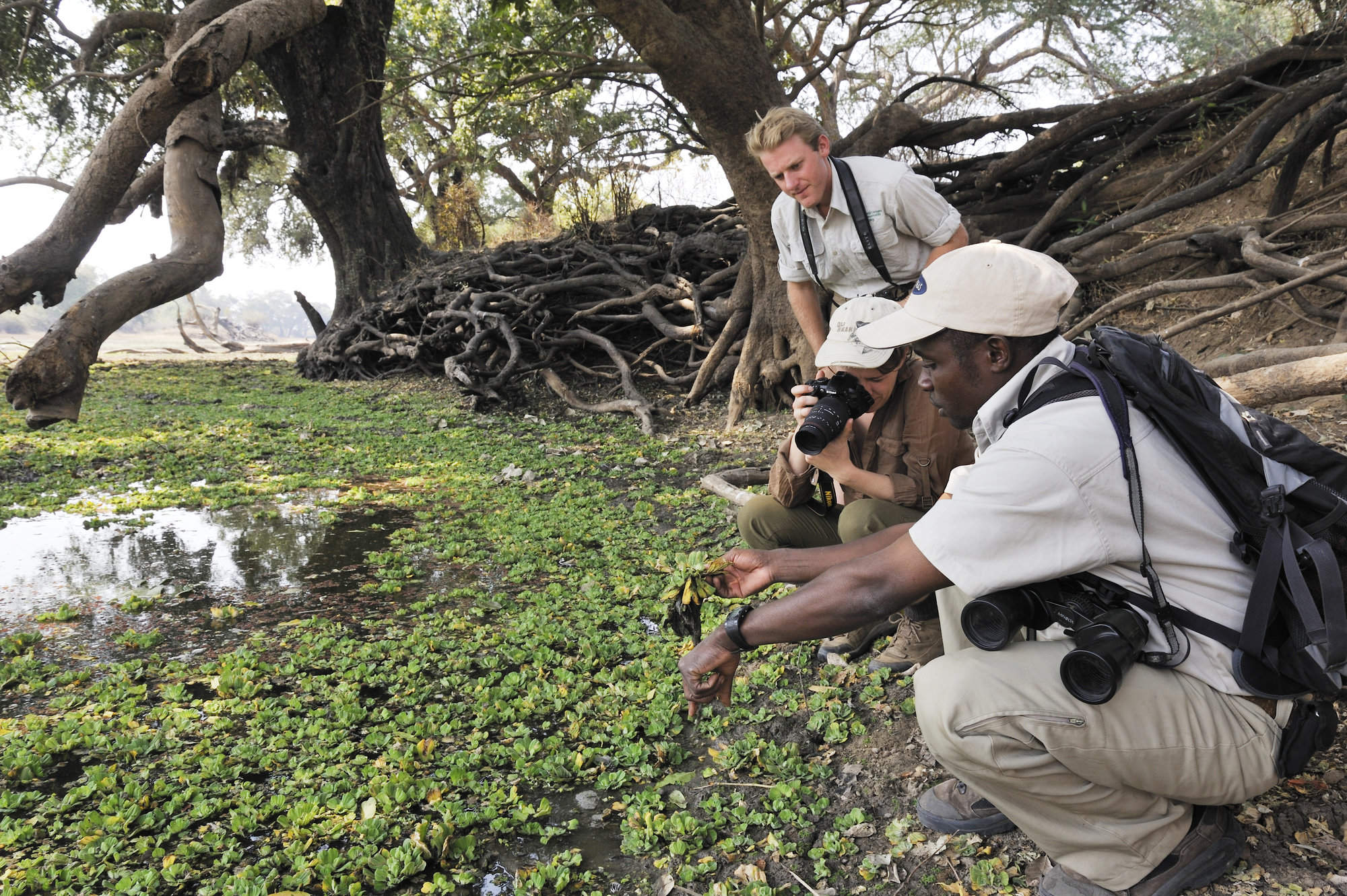
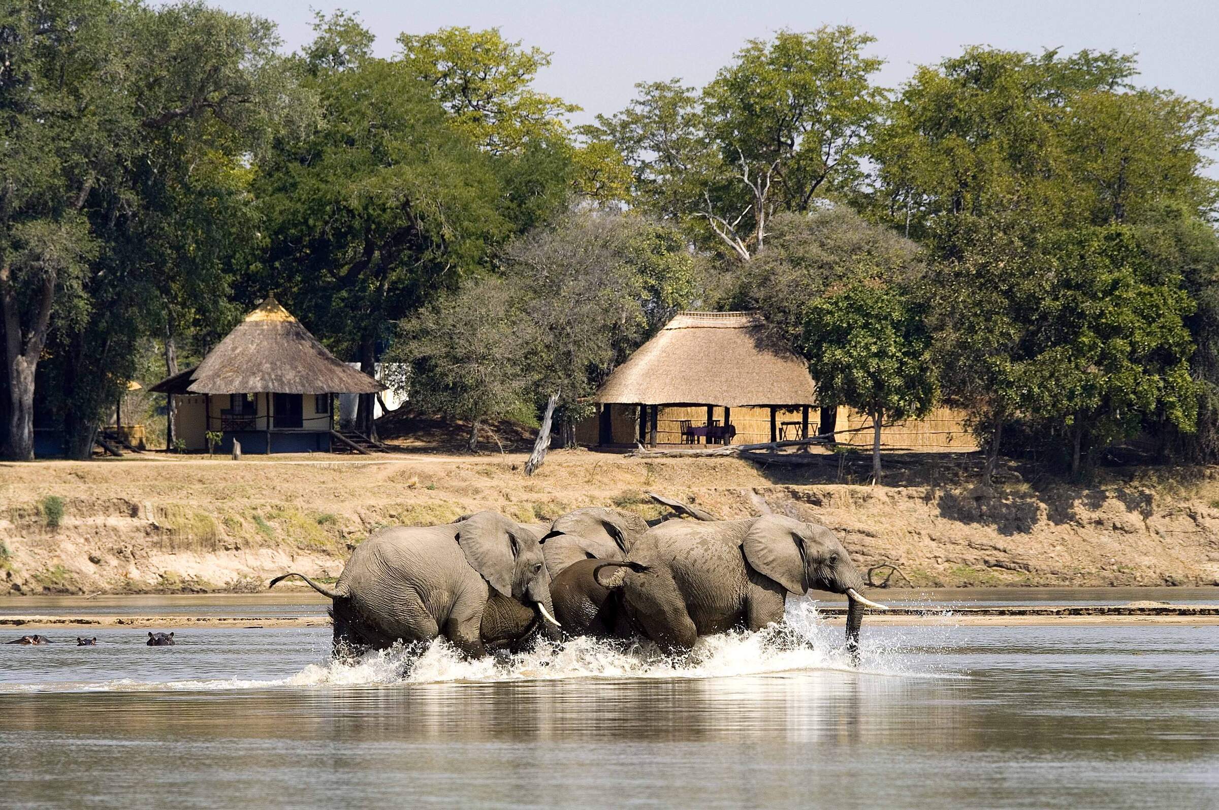
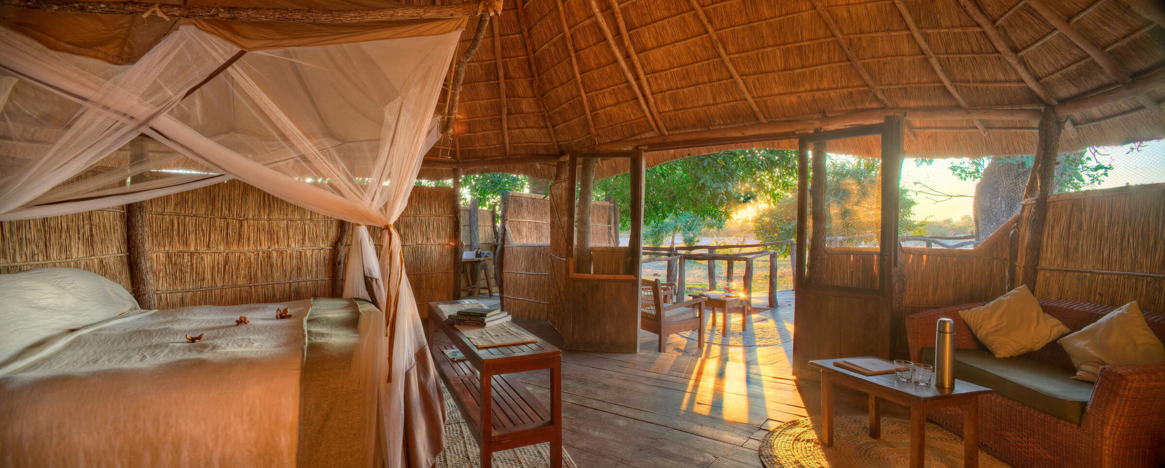
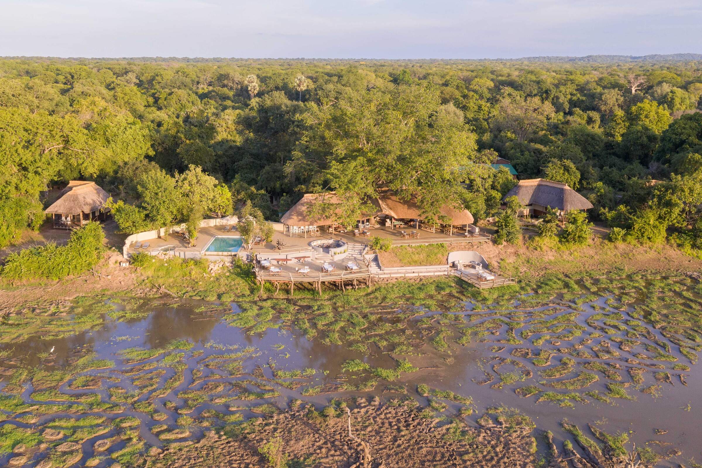
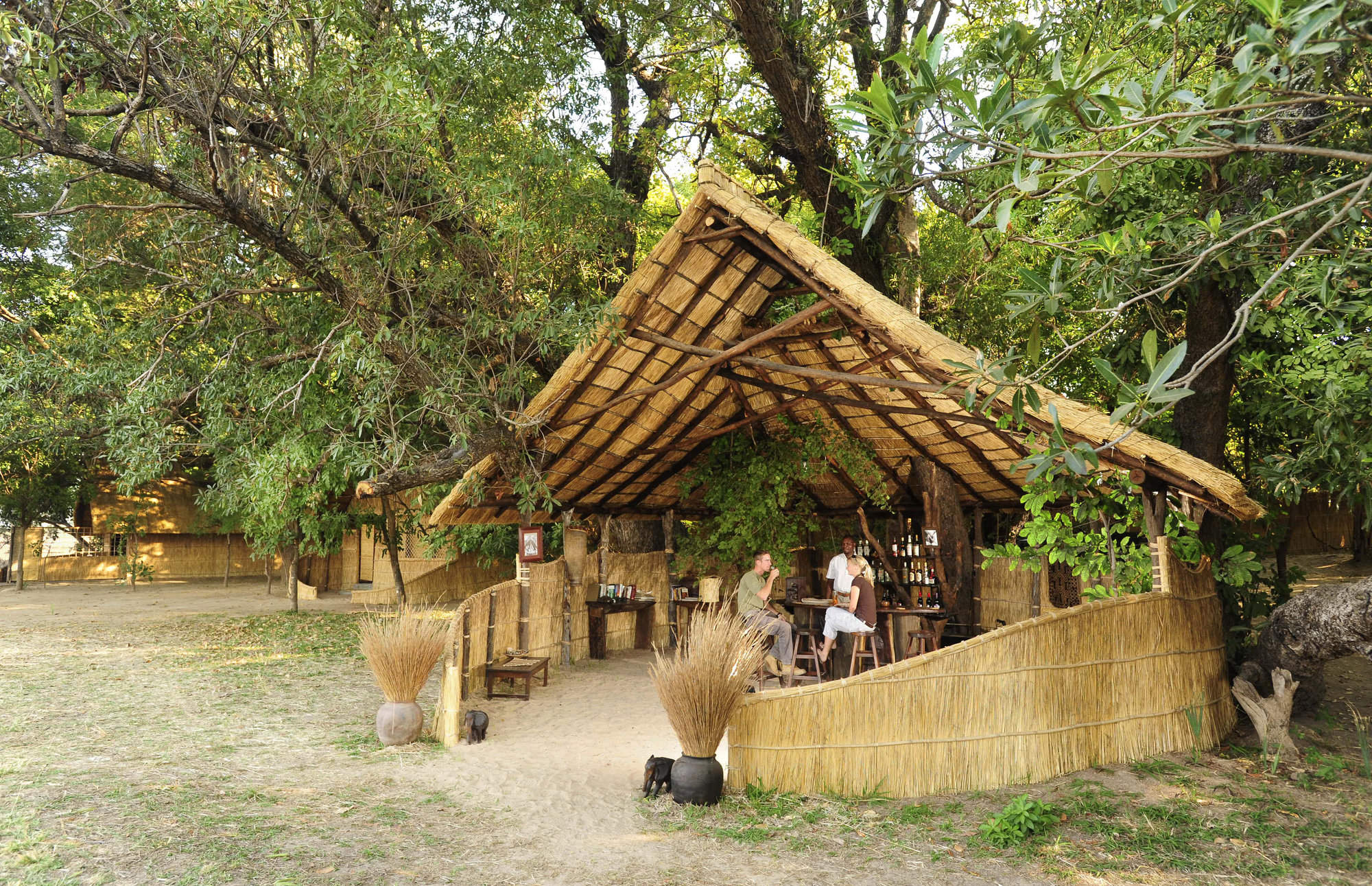
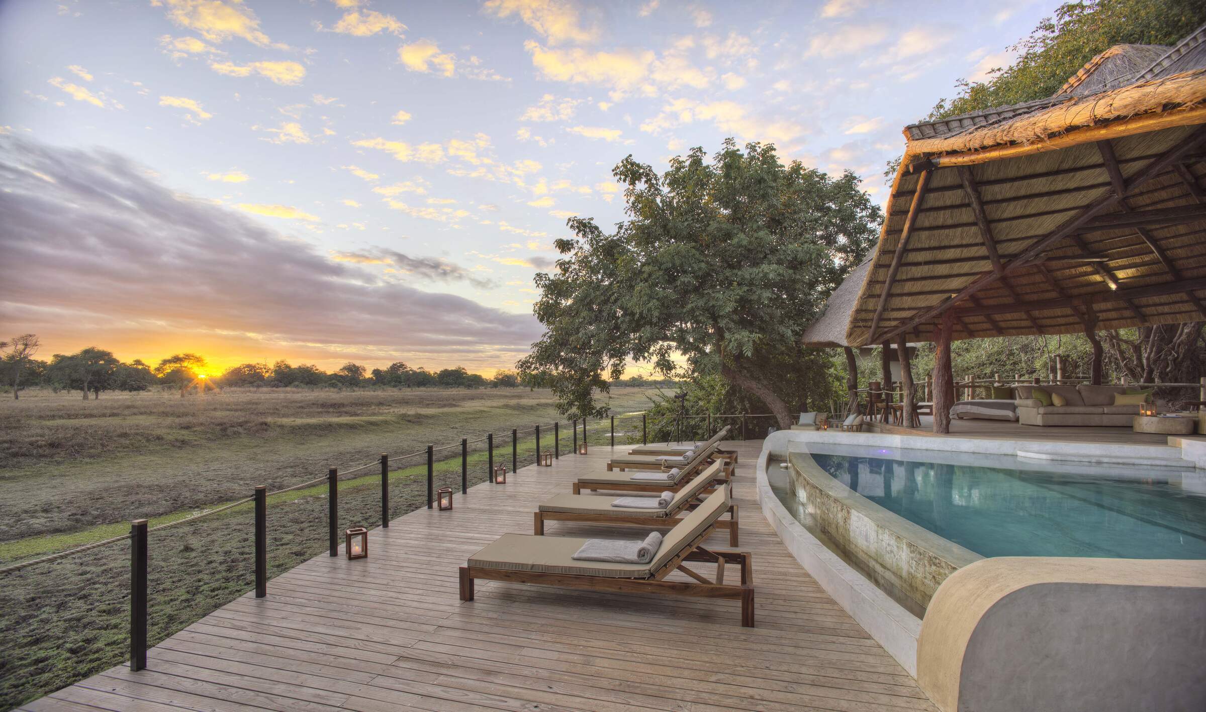
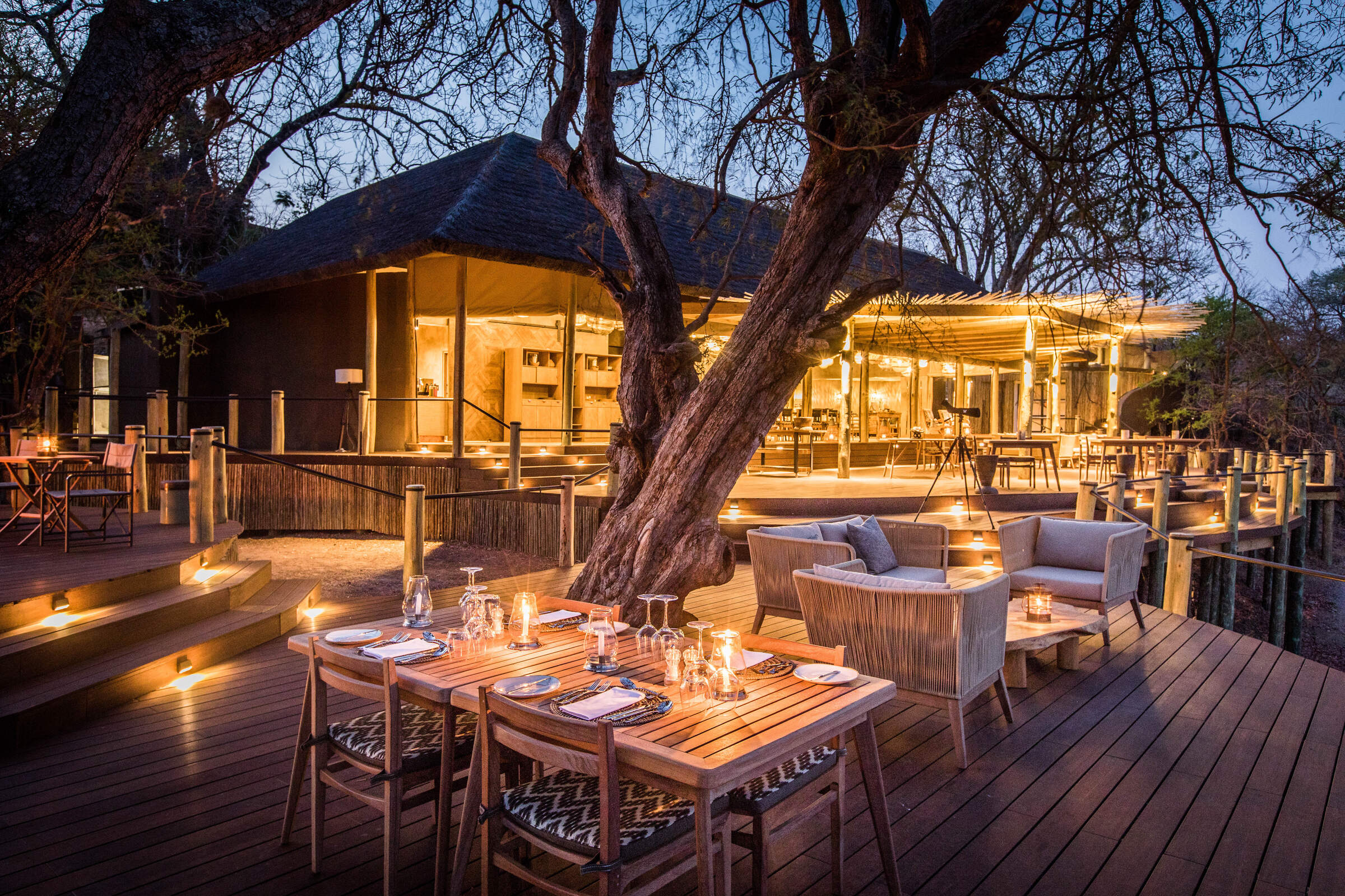
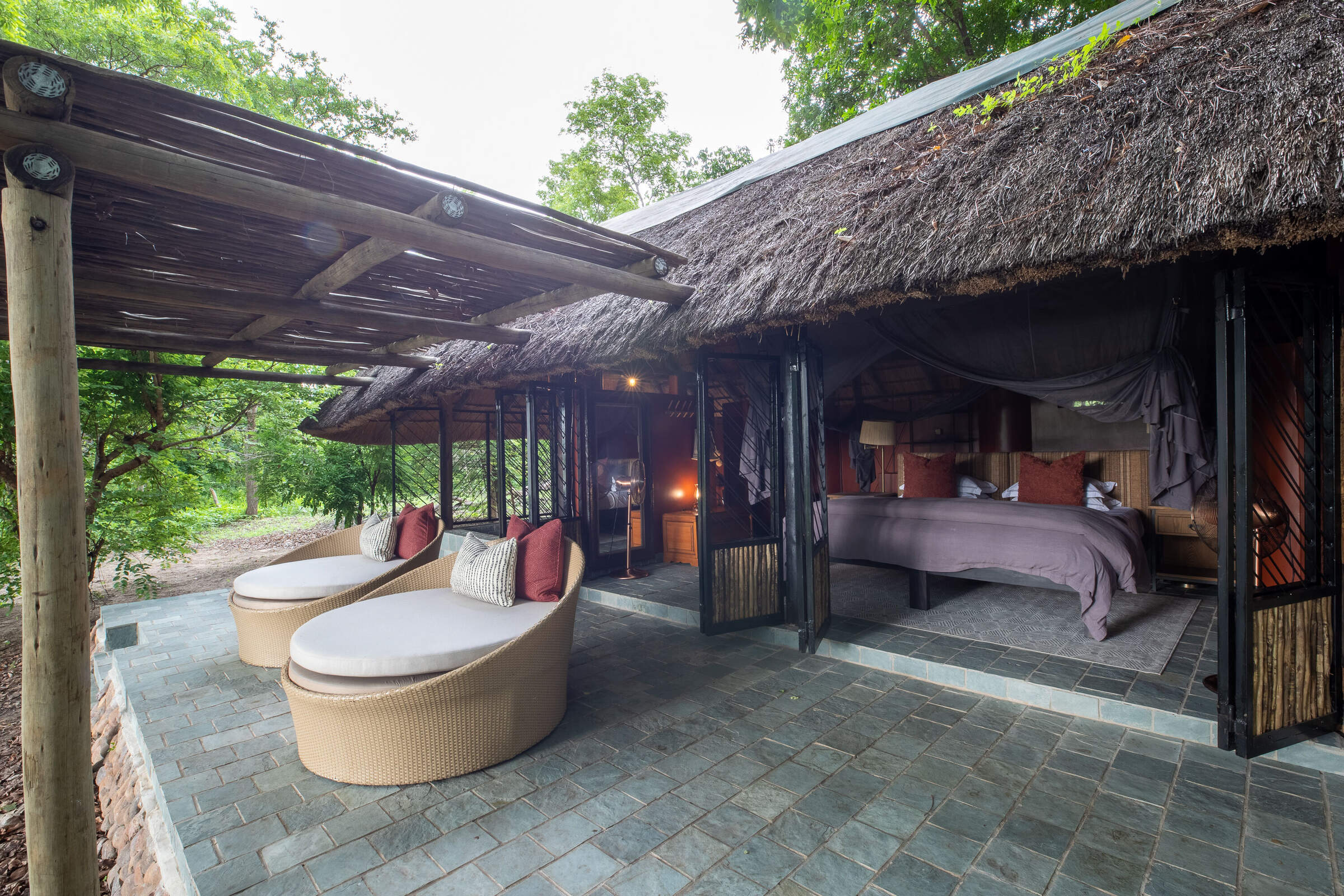
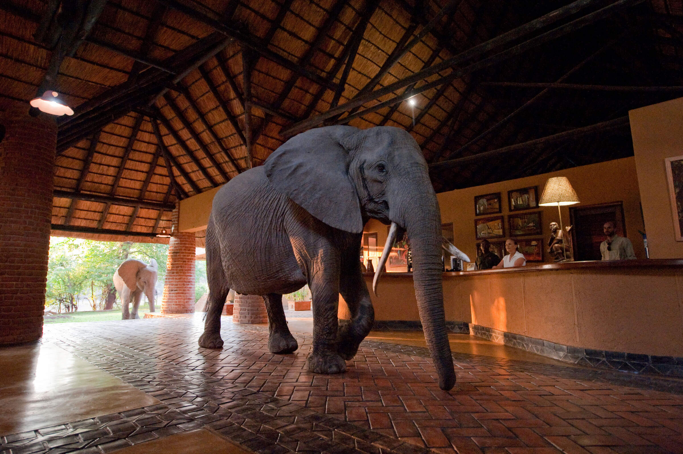
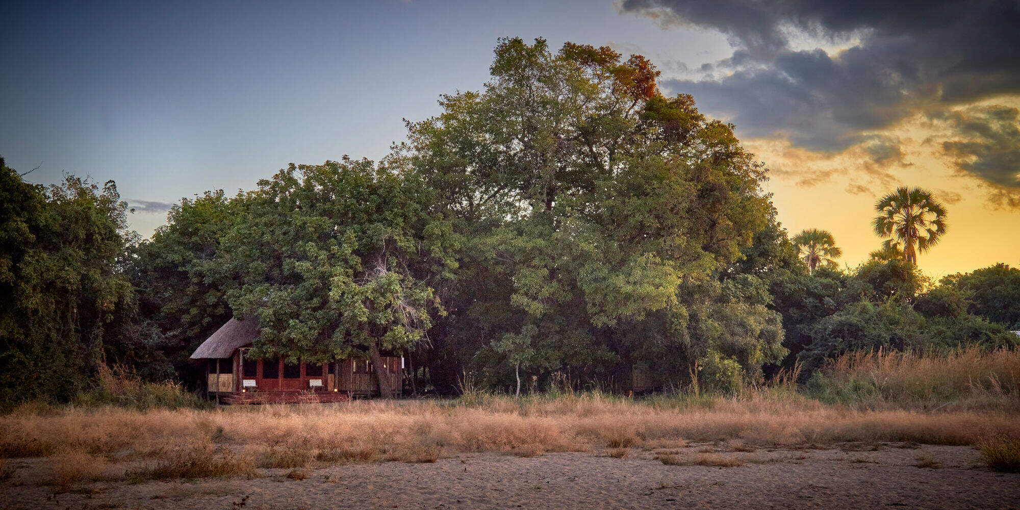
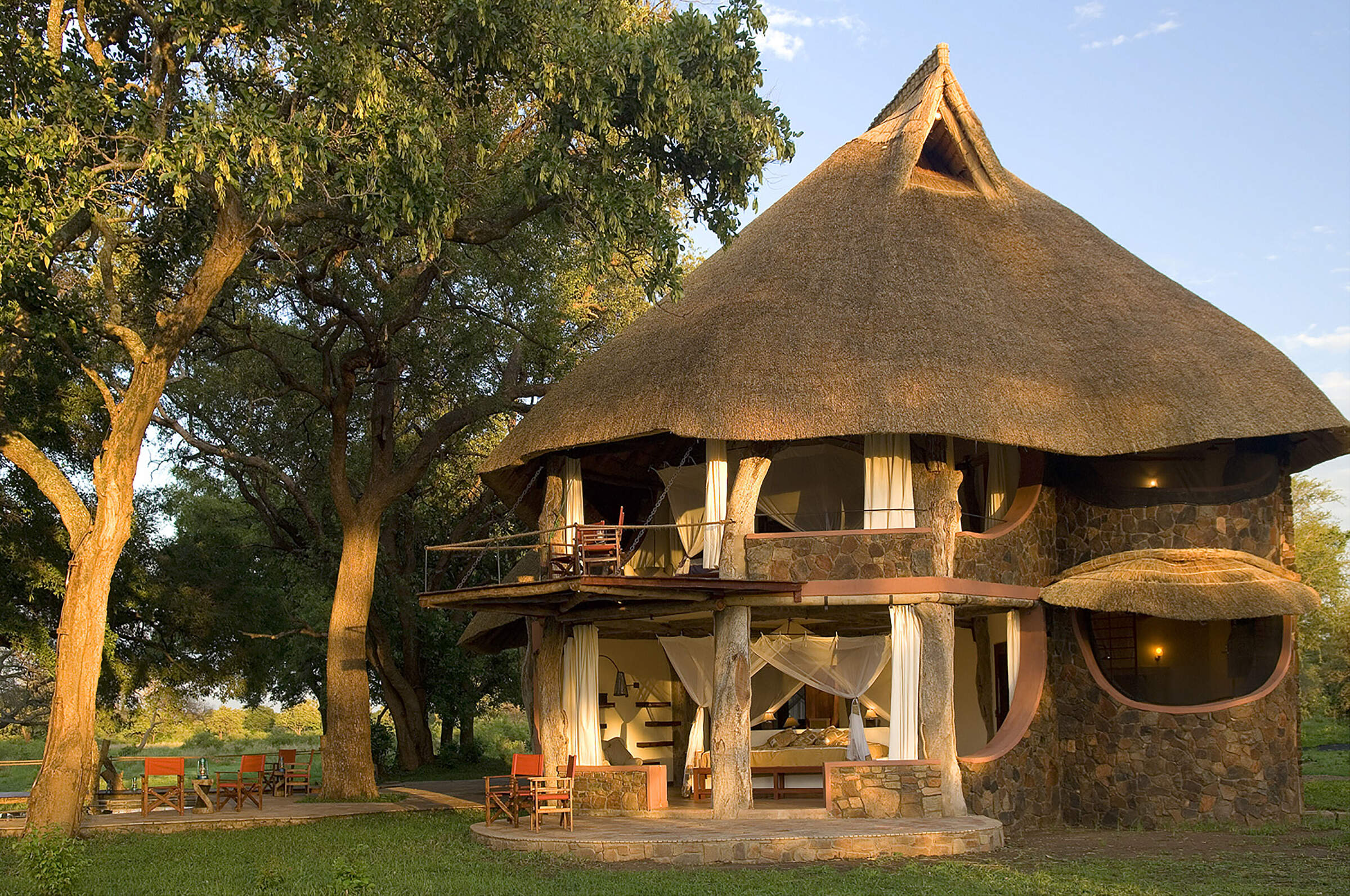
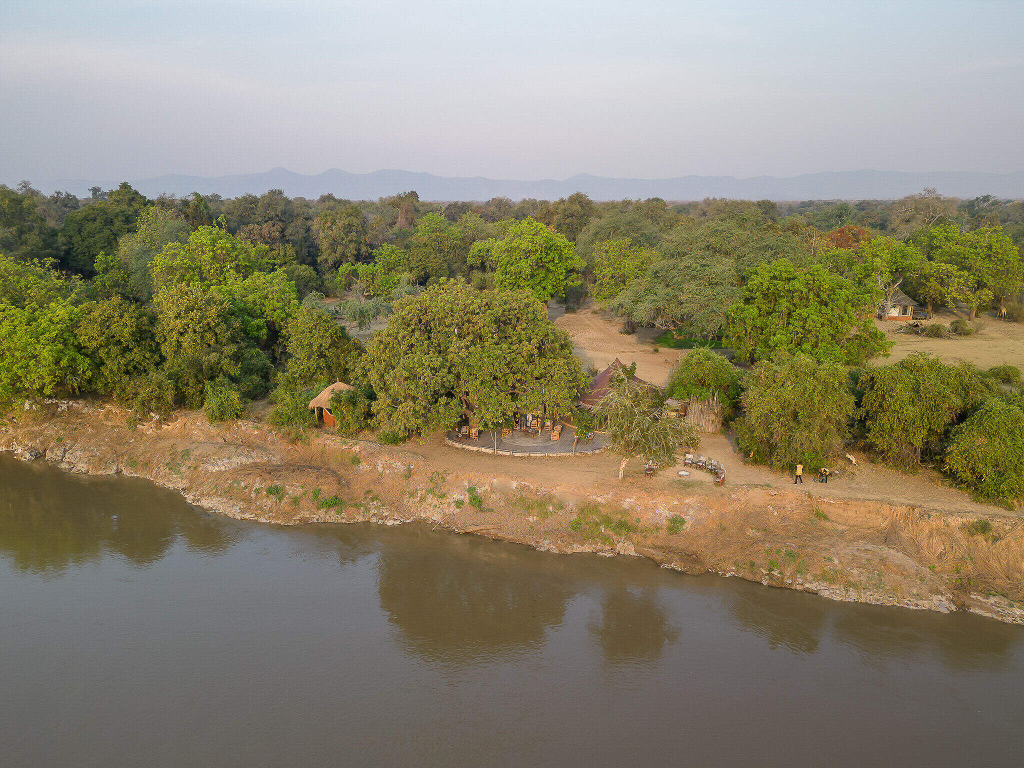
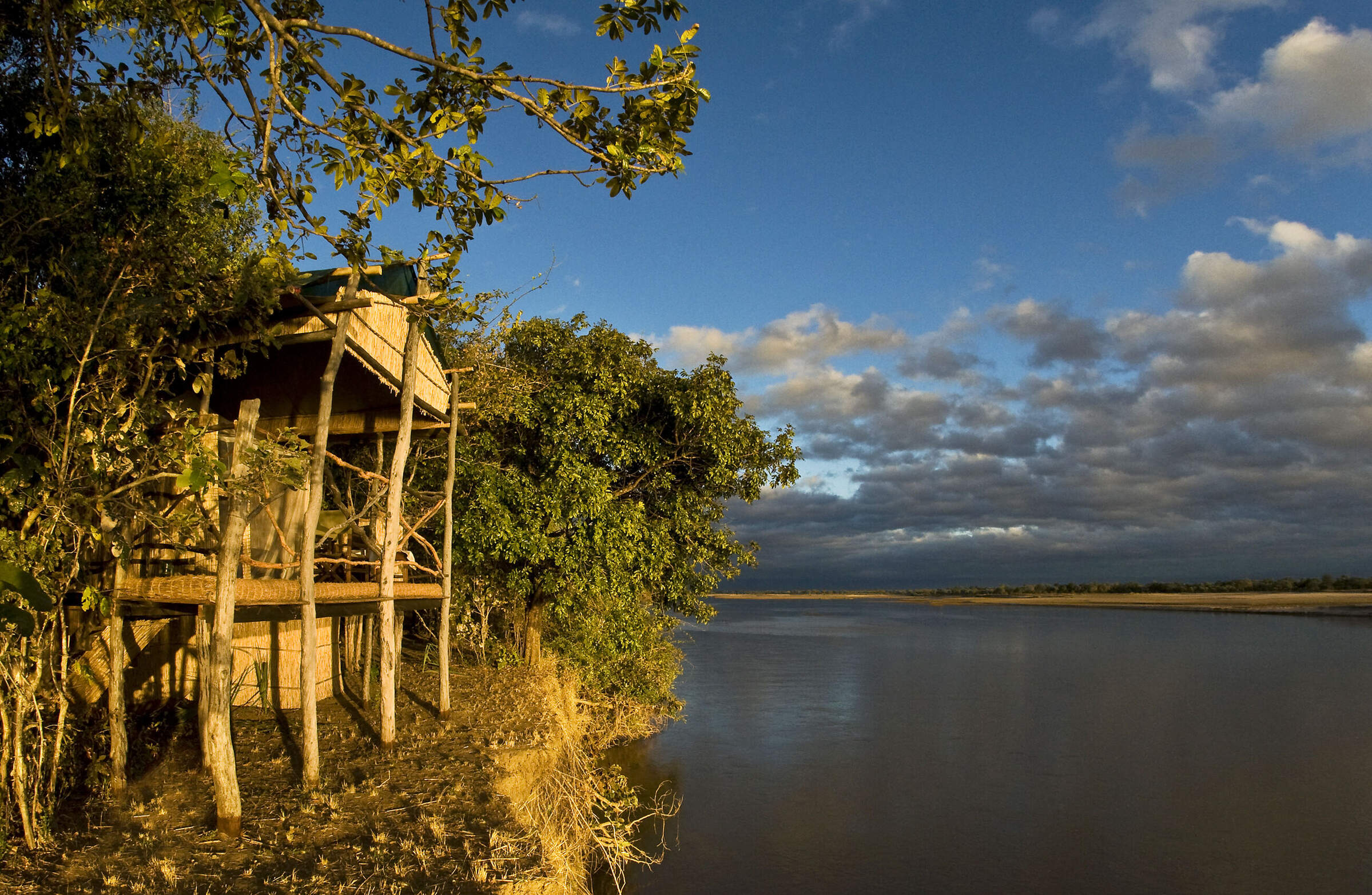
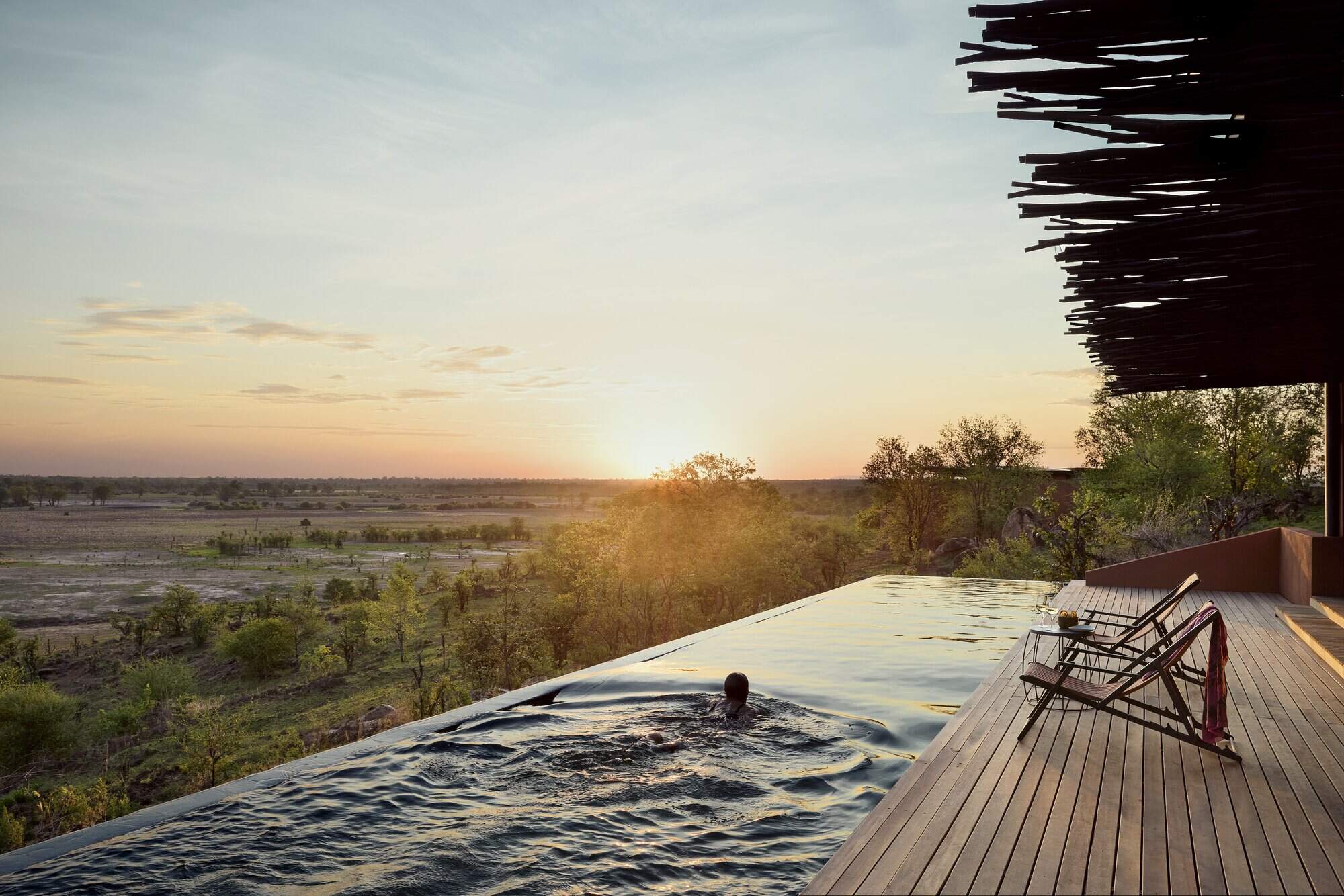
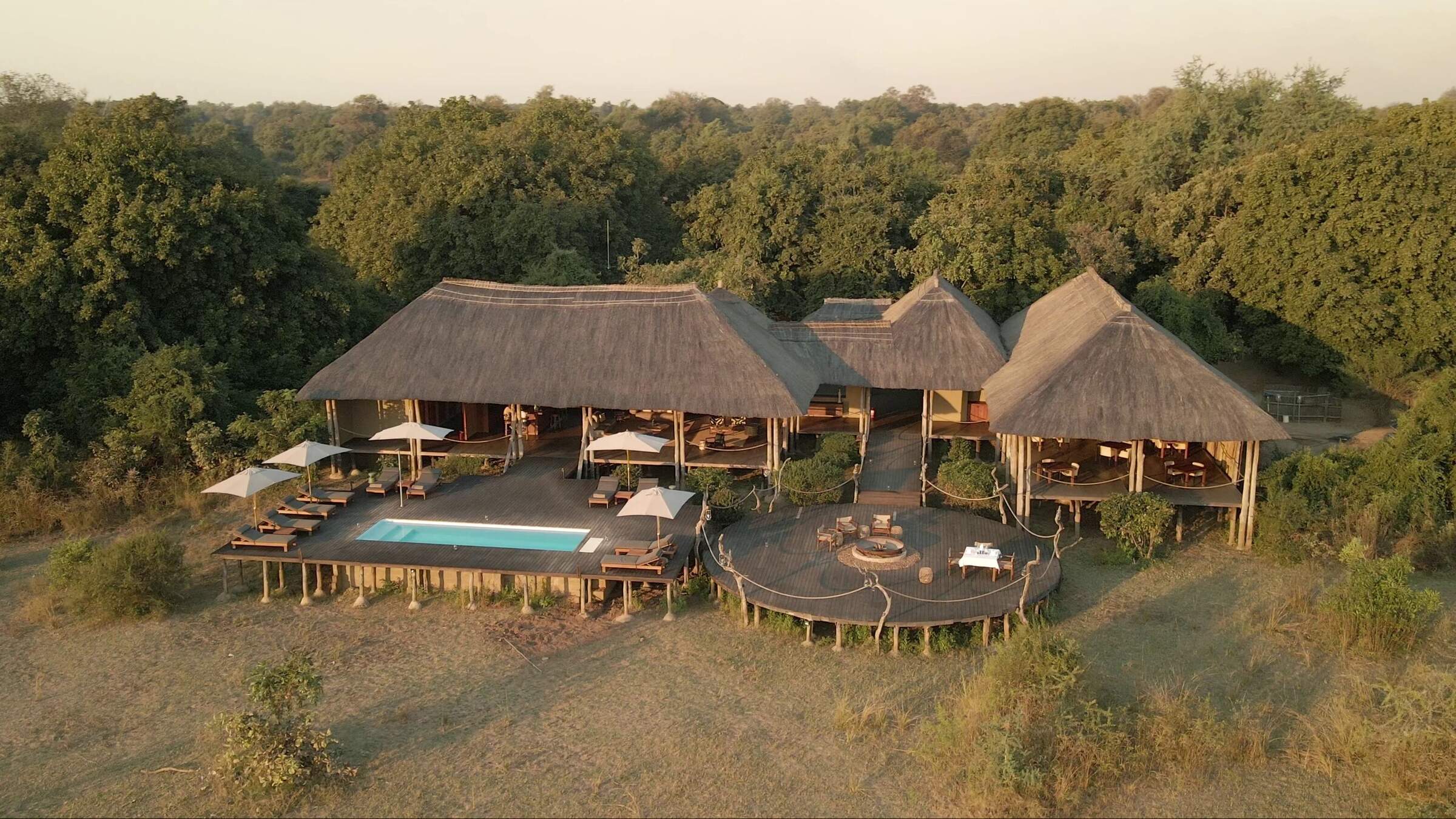
Our suggestions for safari camps in South Luangwa National Park
Tafika
One of the best camps in Zambia, Tafika is naturally built, combining excellent service and food with top guiding skills for a superb wildlife experience.
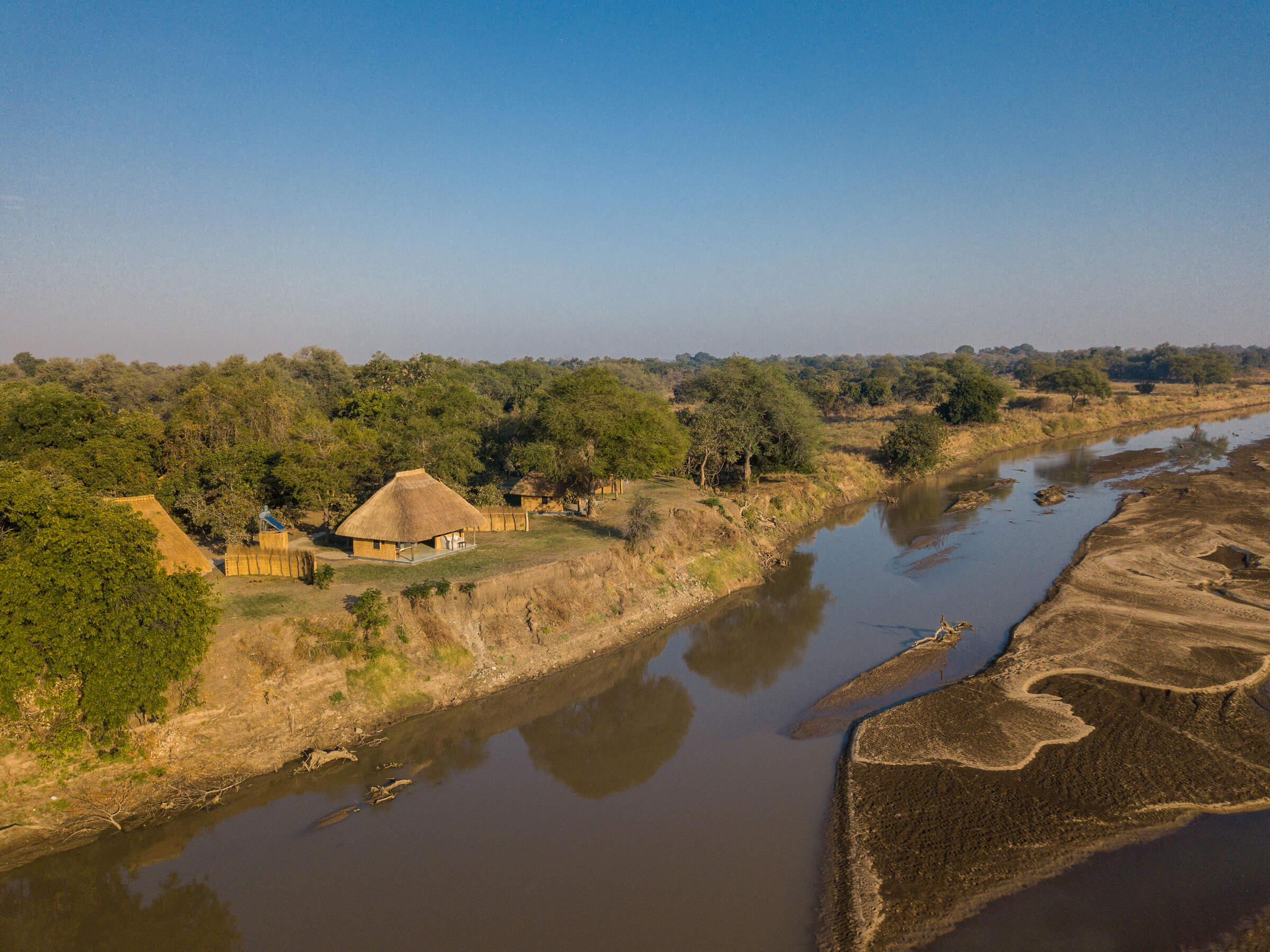
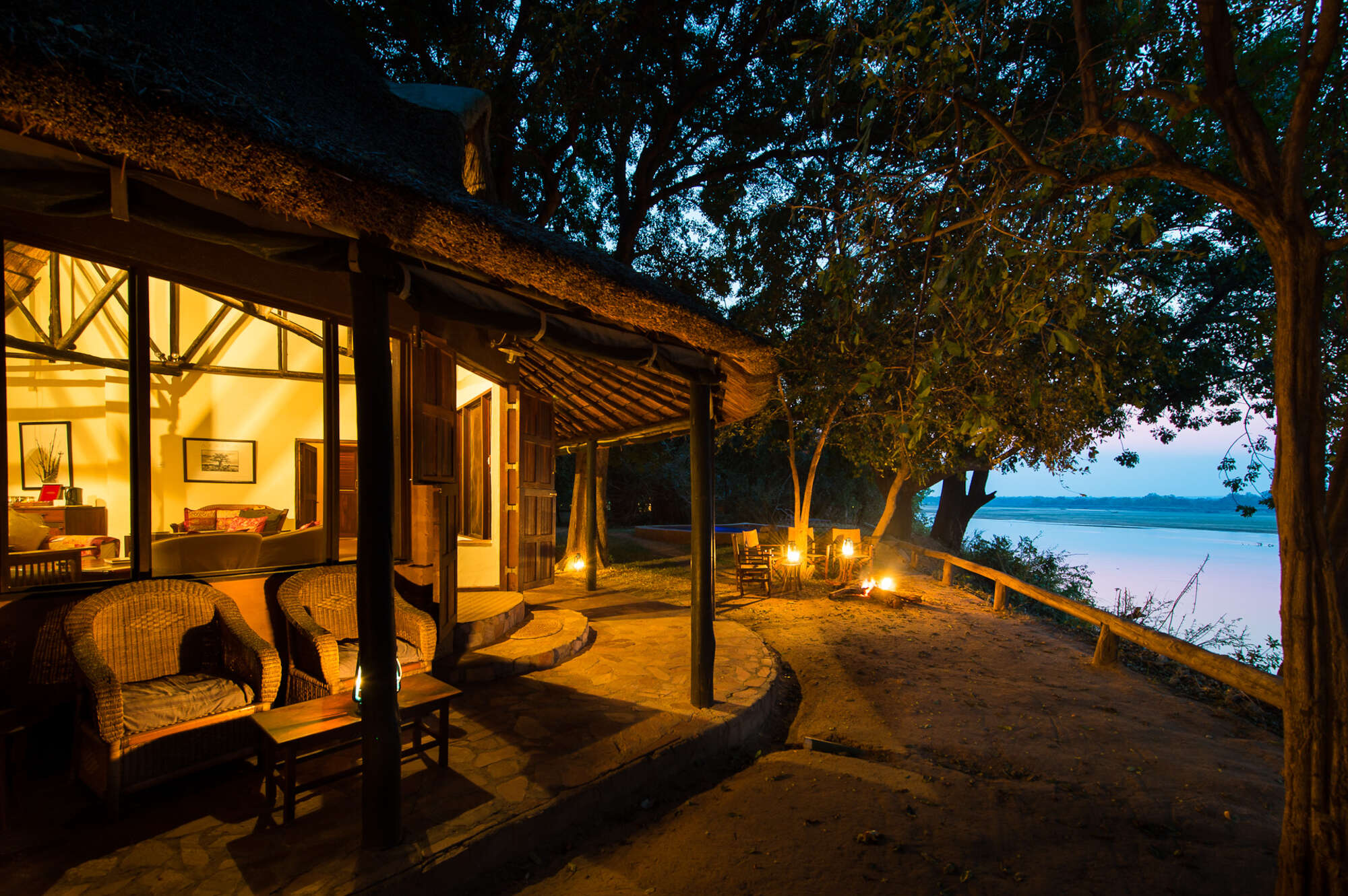
Nkwali
On the banks of the Luangwa River, with its own access to the national park, the intimate Nkwali is open year round.
Kaingo Camp
Small and owner-run, the riverside Kaingo occupies a a quiet but excellent game area, with a series of wildlife hides and a focus on photography.
Nsefu
One of the Luangwa's oldest camps, Nsefu is a great safari camp in a remote, beautiful and game-rich location with top-rate guiding.
Mwamba Bushcamp
Small, remote and owner-run, Mwamba offers first-class walking, 4WD safari drives and superb hides, with excellent guides and a real bush feel.
Tena Tena
One of the Luangwa's best camps, in a beautiful, remote bush location, Tena Tena is very small, exceedingly well-run and has top-rate guiding.
Chikoko Tree Camp
Chikoko Tree Camp is an excellent small, rustic bushcamp that concentrates on walking safaris, and is run by a top-quality operation.
Big Lagoon Camp
Big Lagoon Camp is a great little rustic bushcamp built to high standards that focuses on excellent walking safaris, with the emphasis on top wildlife guides.
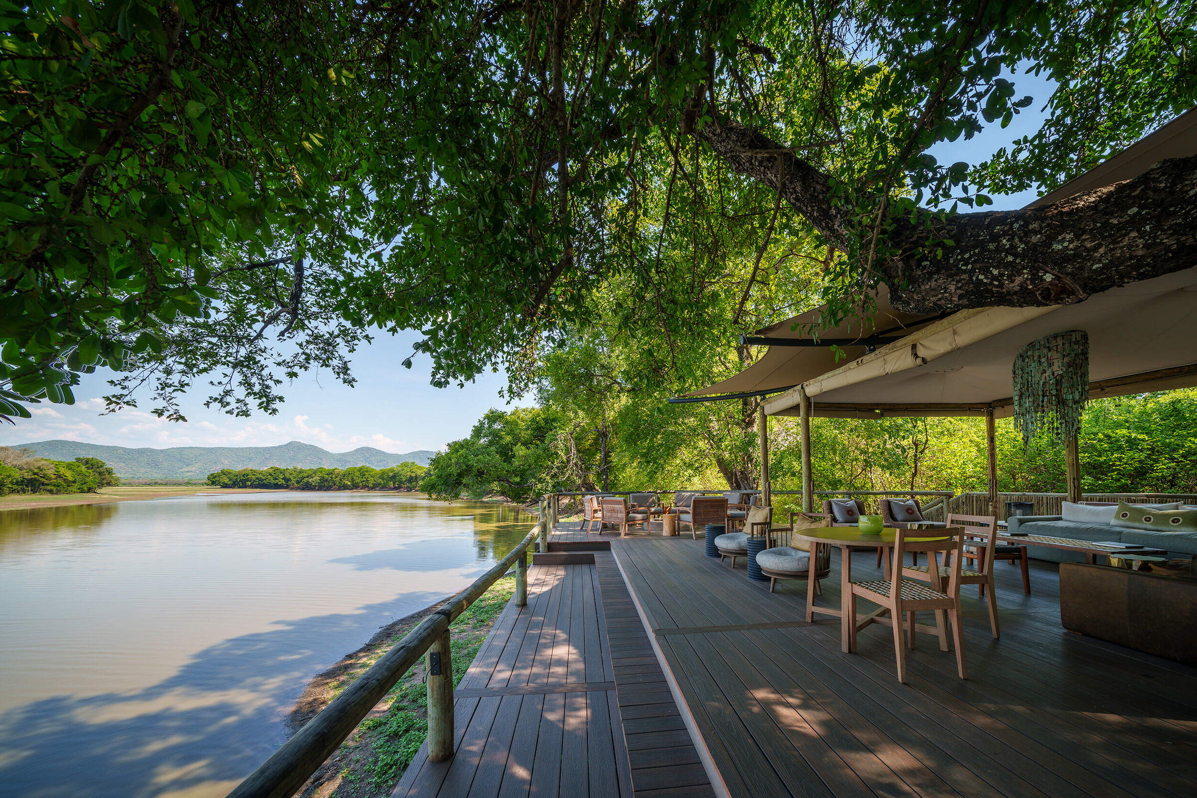
Luangwa River Camp
Luangwa River Lodge is a small and consciously stylish lodge in the Mfuwe area, overlooking the Luangwa River and the South Luangwa National Park beyond – an area renowned for great game.
Flatdogs Camp
A relatively big safari camp, Flatdogs offers value for money with great guiding and good food in a comfortable, relaxed setting.
Kapani Lodge
Kapani Lodge is now the main office base for Norman Carr Safaris, one of the Luangwa's oldest safari operations.
Mchenja Bushcamp
Set in a shady ebony grove on the banks of the Luangwa, Mchenja is a smart tented bushcamp. It combines well with Kakuli and Nsolo – its sister camps with a focus on walking safaris.
Kakuli Bushcamp
Beside the Luangwa River, Kakuli is a comfortable tented bushcamp offering 4WD safaris and walking safaris – the best of which are camp-to-camp walks linking Kakuli with its nearby sister camps.
Nsolo Bushcamp
Nsolo is a small, comfortable bushcamp overlooking one or two pools in the usually dry Luwi riverbed. It concentrates on walking safaris in an interesting and diverse area, led by a knowledgeable guide.
Kafunta River Lodge
Kafunta is a laid-back, friendly and good-value lodge on the outskirts of South Luangwa National Park.
Luwi Bushcamp
In a remote part of the South Luangwa National Park, Luwi is a rustic bushcamp whose emphasis is on walking safaris with great guiding and a chance of seeing some rarely seen and elusive antelope.
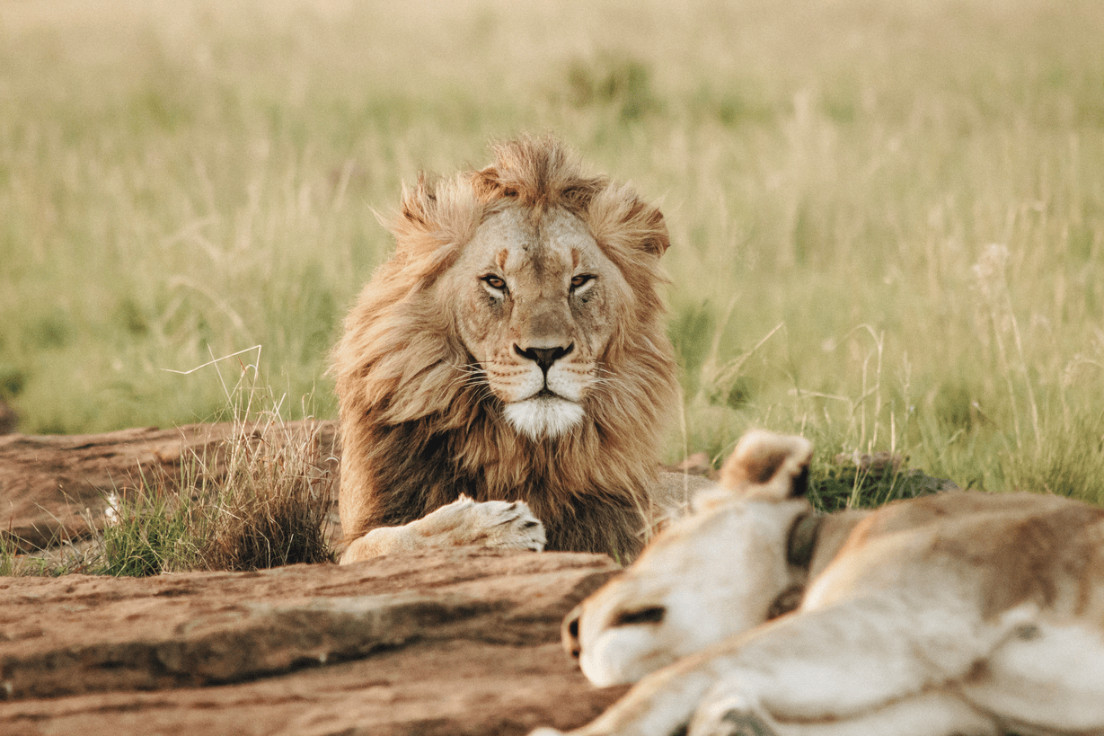
Lion Camp
Lion Camp is an established and comfortable camp with a swimming pool, located near to the game-rich Lion Plain in the northern part of South Luangwa National Park.
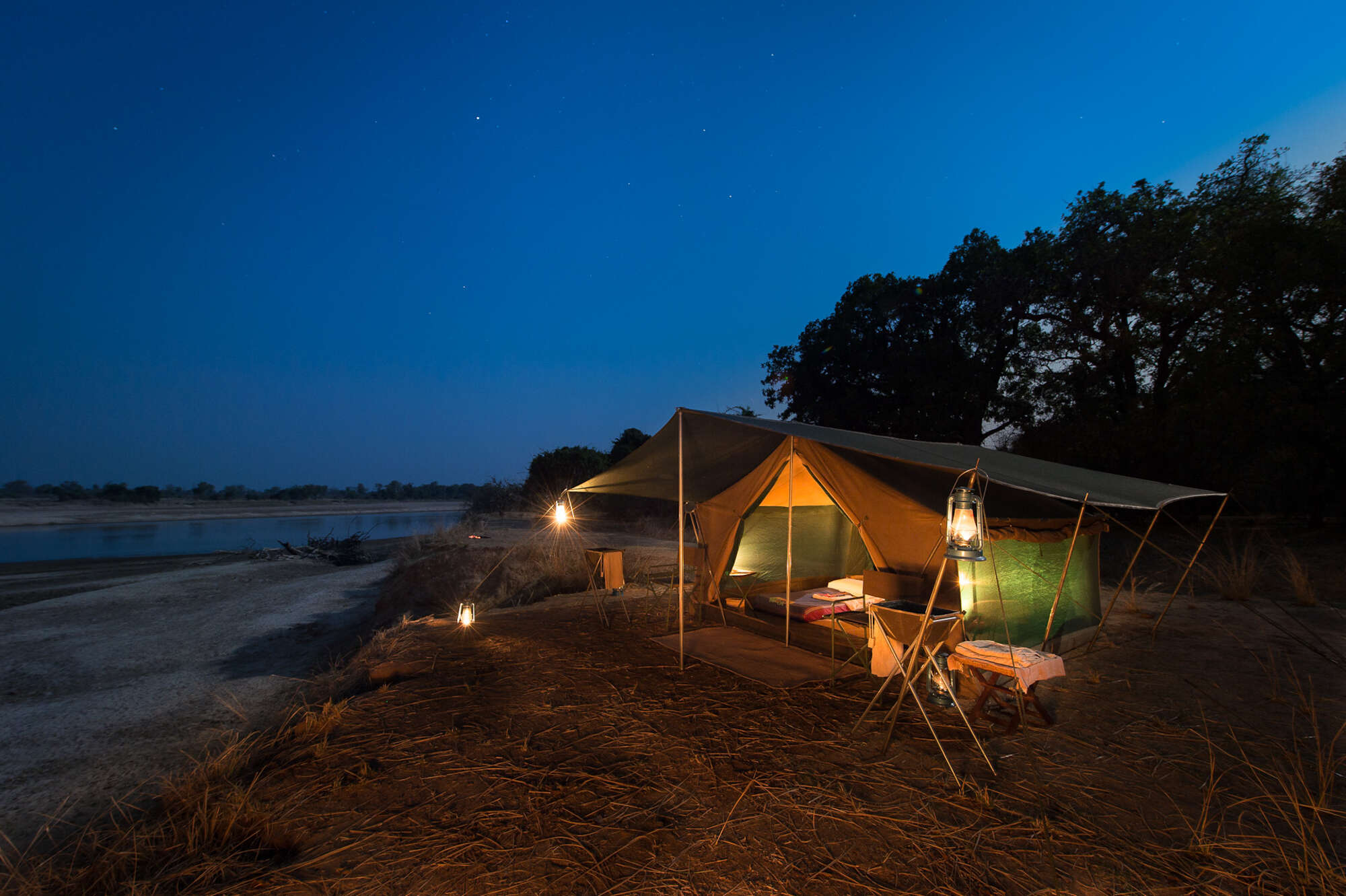
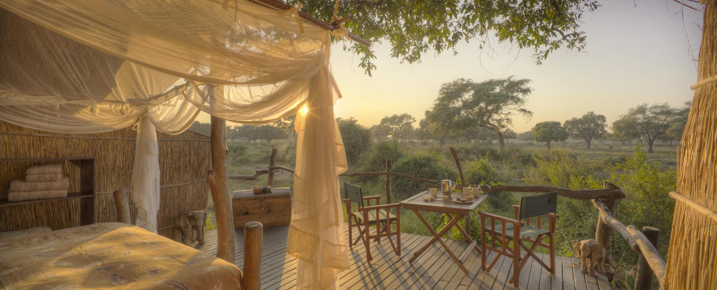
Robin Pope mobile
RPS mobile safari camps are at the heart of their set-itinerary walking safaris in South Luangwa National Park, which start and finish at a permanent camp.
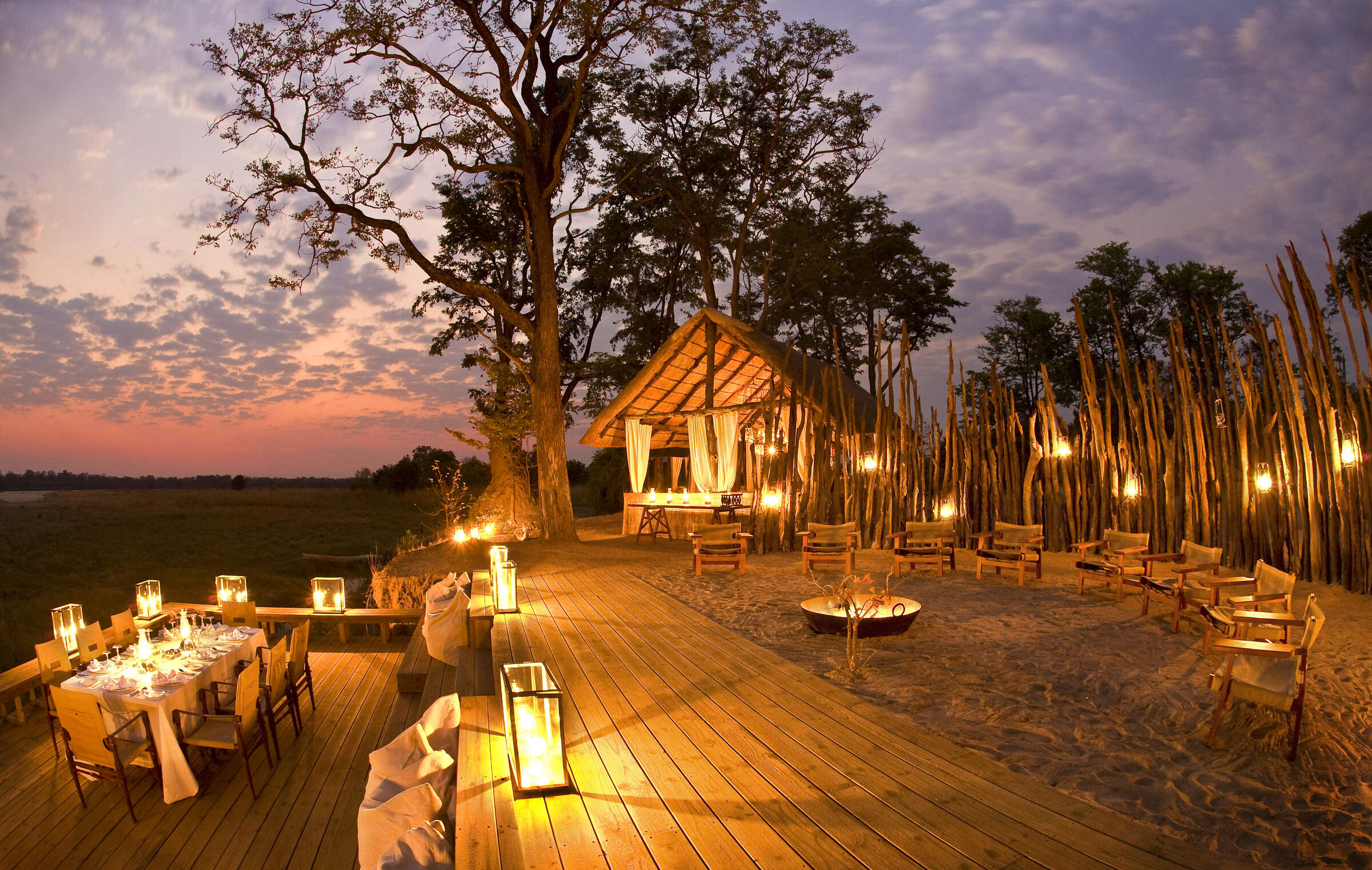
Puku Ridge
Puku Ridge is a luxurious designer camp set in a stunning location, high on a hill overlooking a floodplain within South Luangwa. Explore from here on 4WD safaris and walks.
Kapamba Bushcamp
In the remote far south of South Luangwa National Park, Kapamba is a small and very comfortable bushcamp offering good walks and game drives.
Mfuwe Lodge
In a game-rich area close to the South Luangwa’s main Mfuwe Gate, Mfuwe Lodge is relatively large by park standards, but it’s stylish, modern and family friendly.
Kuyenda Bushcamp
Kuyenda Bushcamp is a classic bushcamp with particularly delightful hosts and offers top-class walking safaris in South Luangwa National Park.
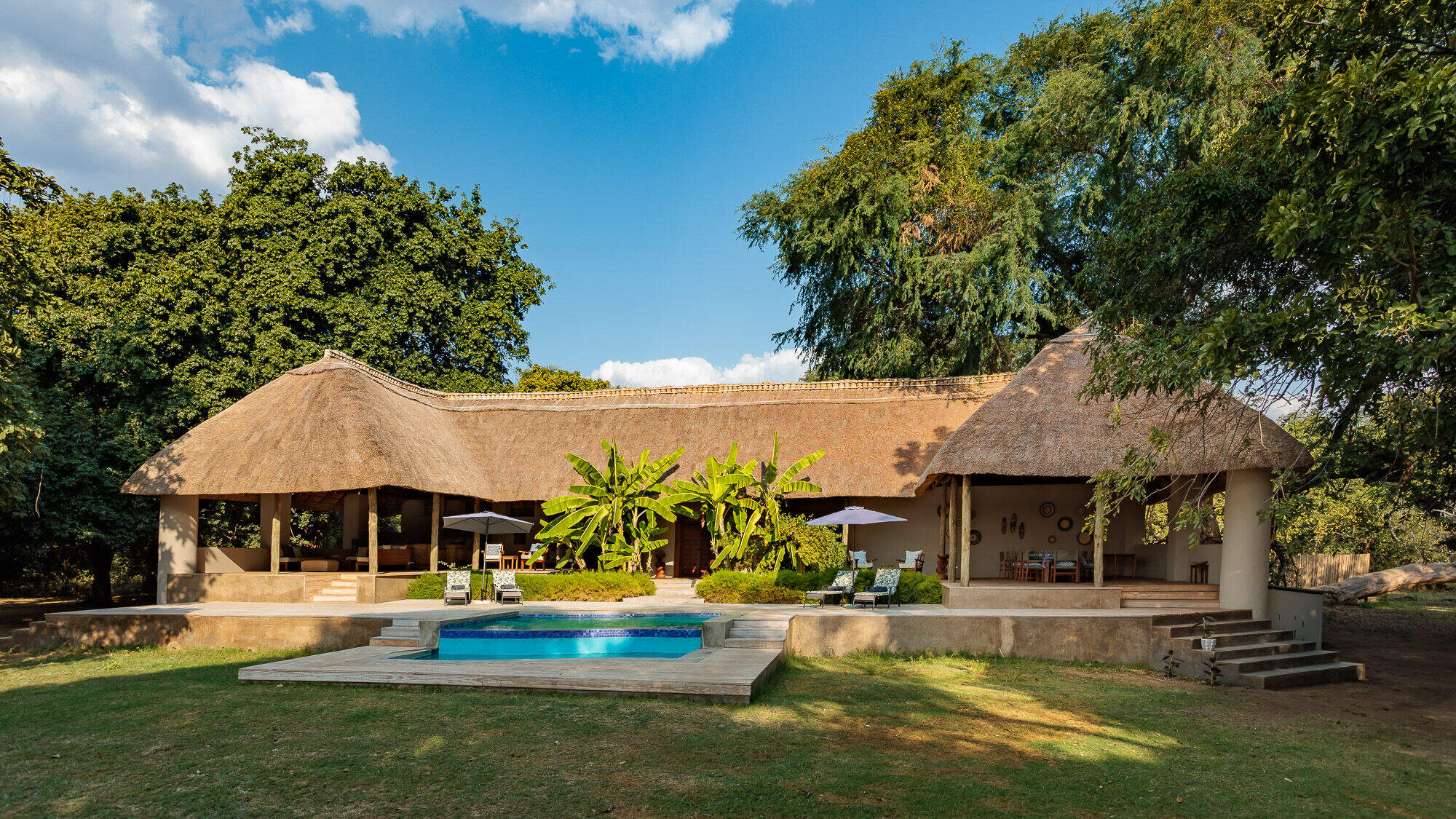
Luangwa Safari House
Luangwa Safari House is a vast and very smart four-bedroom house specifically designed for families and small groups, and offering an exclusive and flexible safari experience.
Three Rivers Camp
In the remote far south of South Luangwa National Park, Three Rivers Lodge sits at the confluence of three of the valleys rivers.
Island Bush Camp
Island Bushcamp is a good-value, rustic, walking-only camp, in arguably one of the most remote parts of the South Luangwa, well away from all other camps.
Bilimungwe Bushcamp
A smart bushcamp with four very spacious chalets, Bilimungwe offers interesting walking safaris in pretty riverine woodland, as well as day and night safari drives.
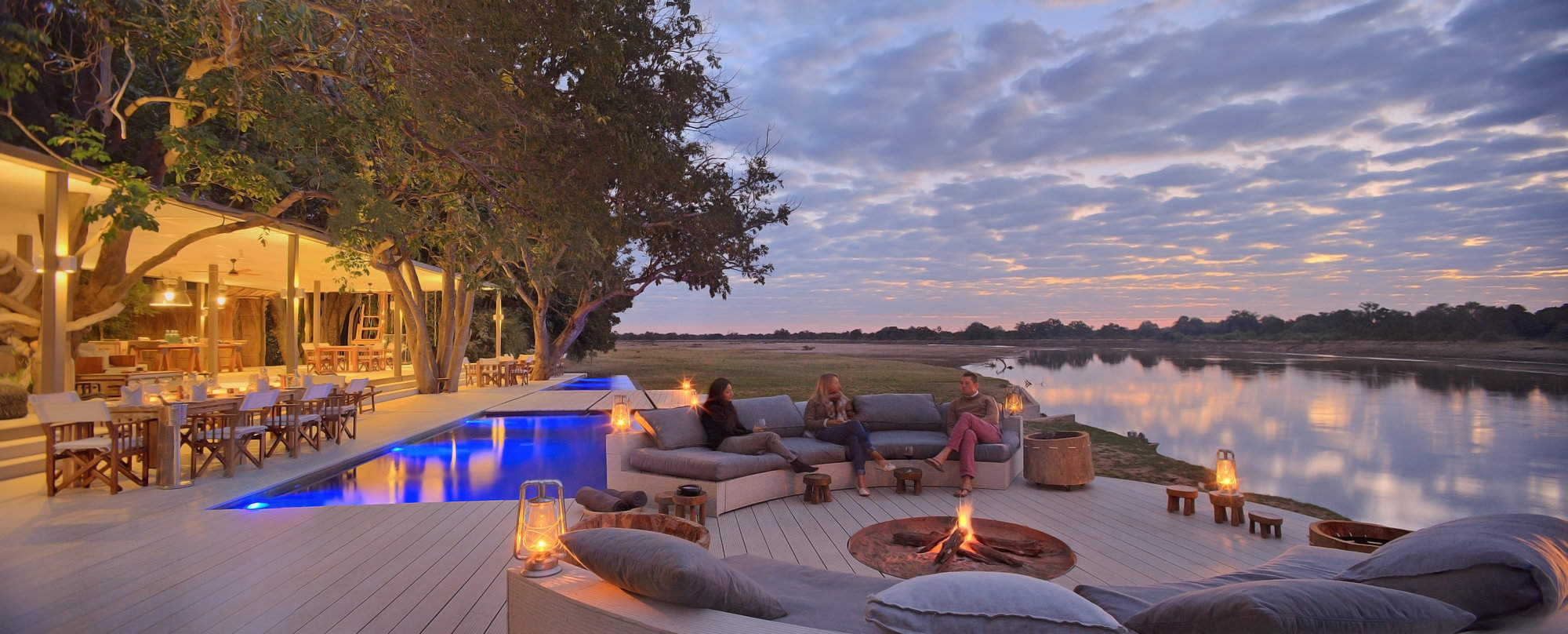
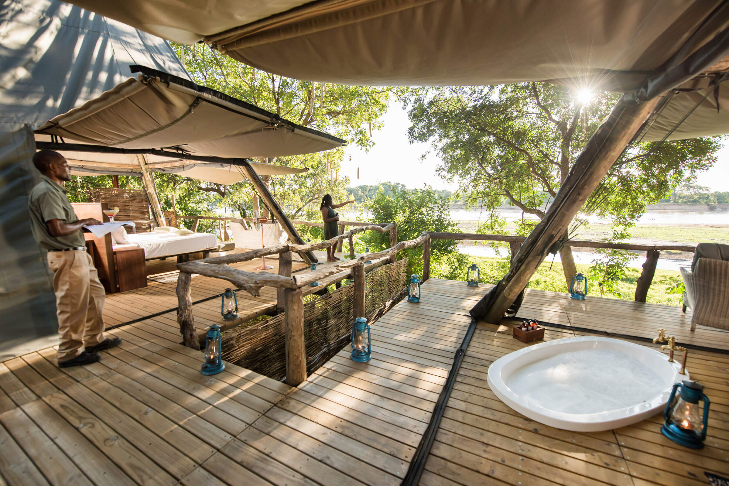
Chinzombo
Opened in early June 2013, Chinzombo offers luxurious and stylish accommodation with very high levels of service and excellent guiding.
Chindeni
Chindeni Bushcamp is a very modern and minimalist camp, which is a far cry from your traditional bushcamp and unlike most of the other camps in South Luangwa.
Robin's House
With your own expert guide, private vehicle, chef and valet, the two-bedroom Robin's House offers an exclusive, flexible safari experience – and is open year round.
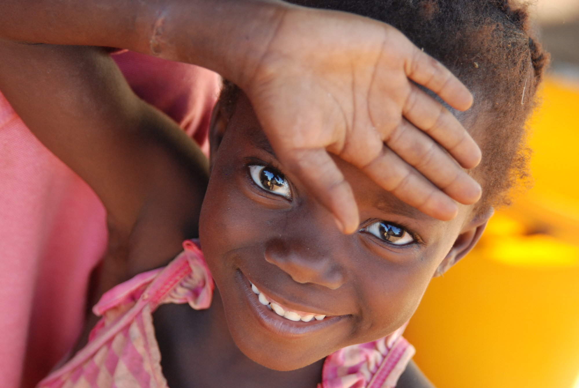
Kawaza Village
Kawaza Village – beside the South Luangwa National Park, offers guests the rare opportunity to appreciate local village life. Visit for a few hours or stay overnight.
Chamilandu Bushcamp
A comfortable little bushcamp, Chamilandu has a picturesque setting by the Luangwa River, in an area with a range of habitats to explore on foot and by 4WD.
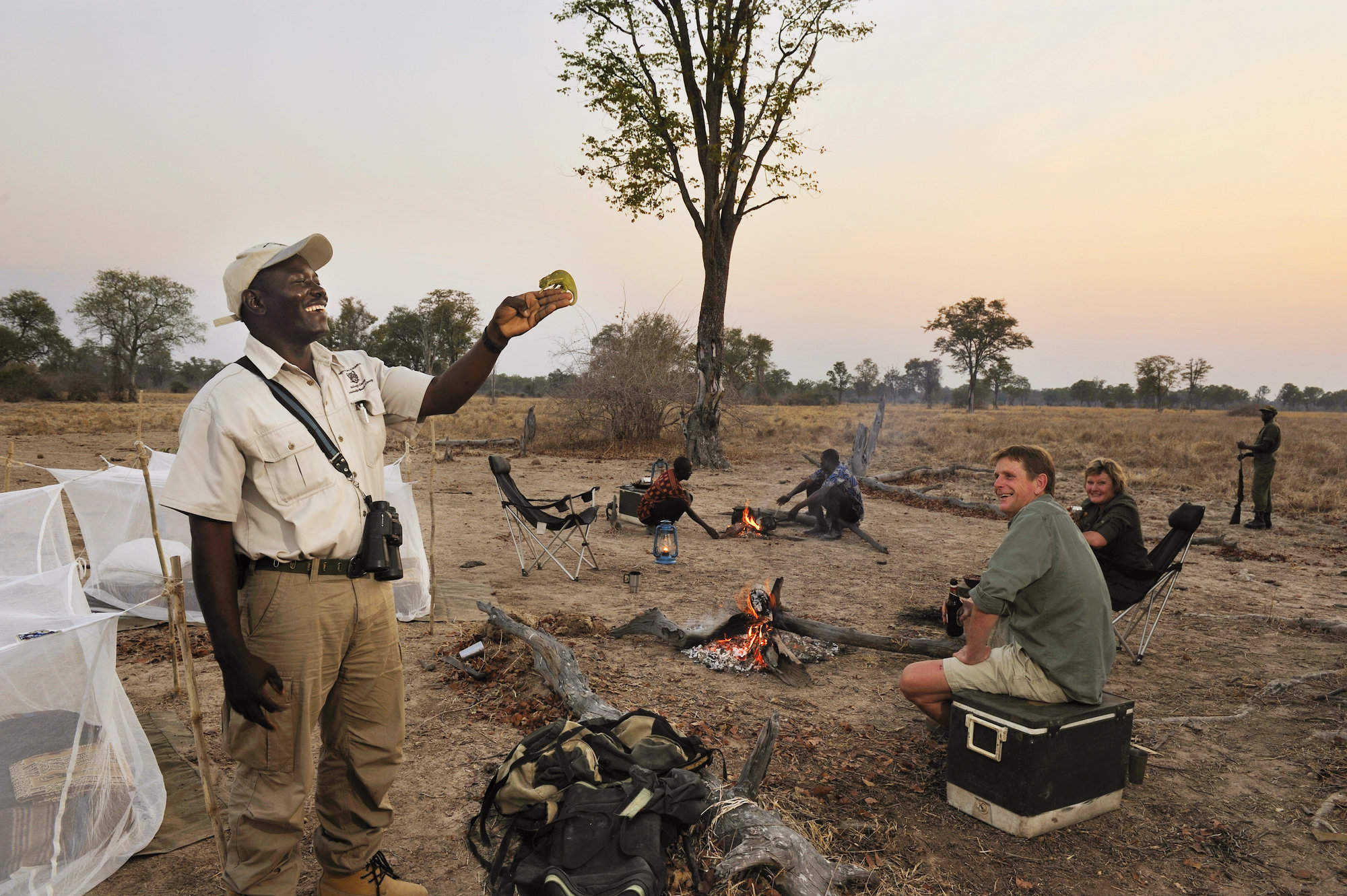
Mwamba Camp-out
The Mwamba-Camp Out allows you to have an incredibly adventurous night in the bush, sleeping under mosquito nets with activities led by some of the best guides in Zambia.
Zungulila
Zungulila is a small, comfortable tented bushcamp with an emphasis on walking safaris, in the remote southern section of the South Luangwa.
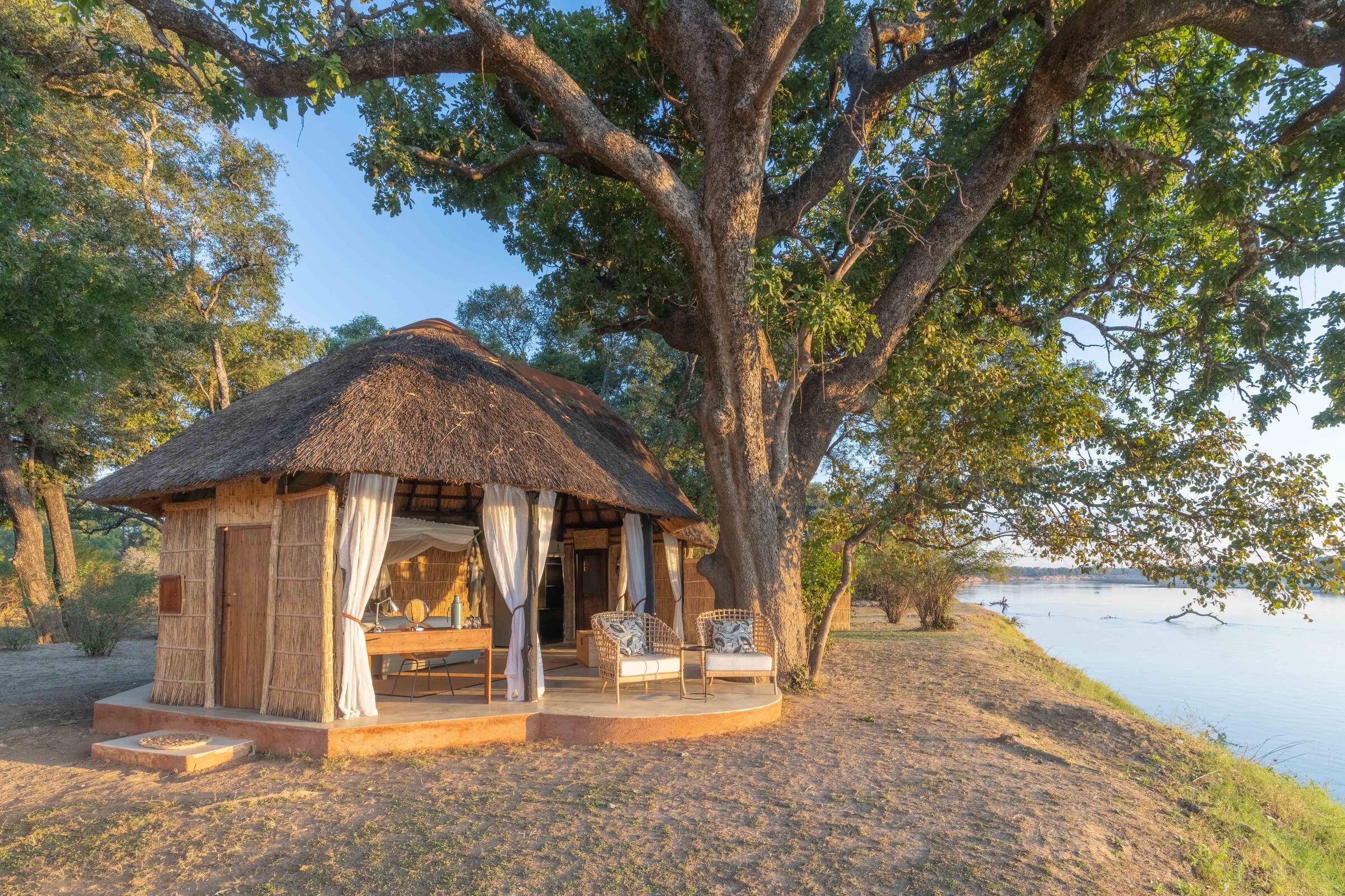
Shawa Luangwa
Opened in June 2021, Shawa Luangwa Camp is a small, intimate and rustic camp, with a good location in a remote section of the South Luangwa National Park.
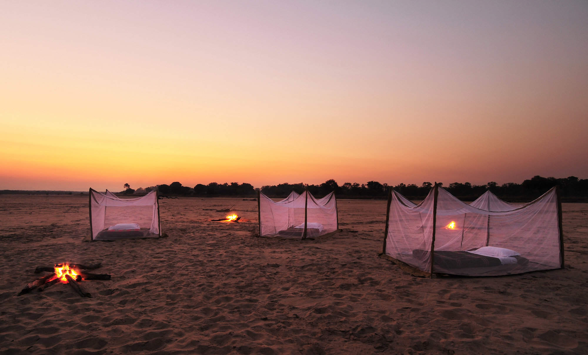
Luwi Riverbed Sleepout
For an adventurous night in South Luangwa National Park, come and sleep out in the bush, around a campfire, with an experienced guide and game scout.
Chichele Lodge
Currently in the final stages of an extensive rebuild, Chichele Presidential Lodge stands high within the park, with superb views, and is due to reopen in early 2025.
Nkonzi Camp
A simple and rustic bush camp, Nkonzi has a strong focus on walking safaris in this remote section of Zambia’s South Luangwa National Park.
Chikunto
Chikunto Safari Lodge is a more traditional property in the South Luangwa National Park, sitting on a peninsula of land created by the meandering Luangwa River.
Our travellers’ wildlife sightings in South Luangwa
This is their success for sightings in South Luangwa National Park. Click on a species for more detail. How we work this out.

99% success

99% success

96% success

96% success

90% success

86% success

85% success

83% success

47% success

40% success

16% success

7% success

4% success

1% success

1% success