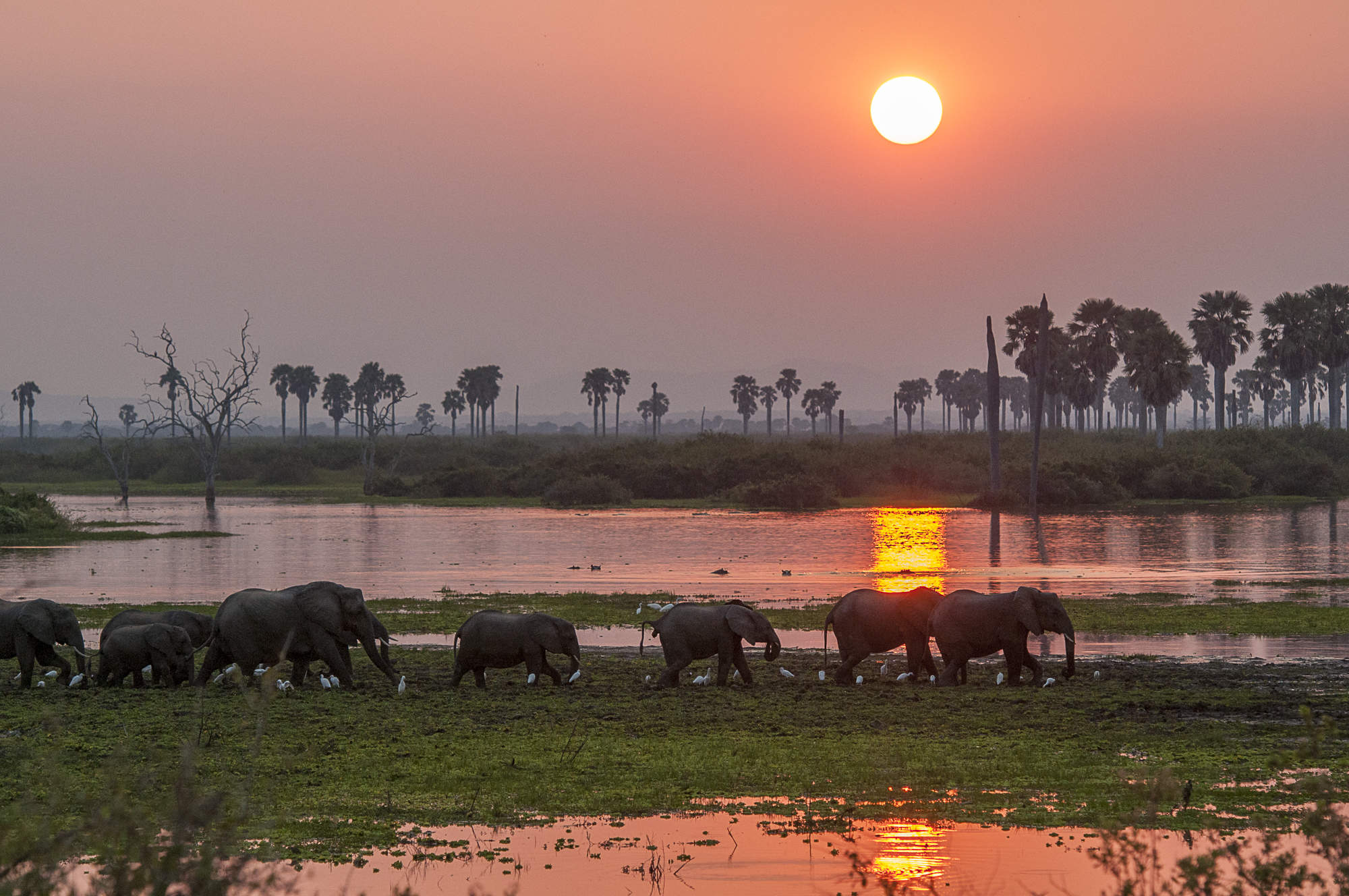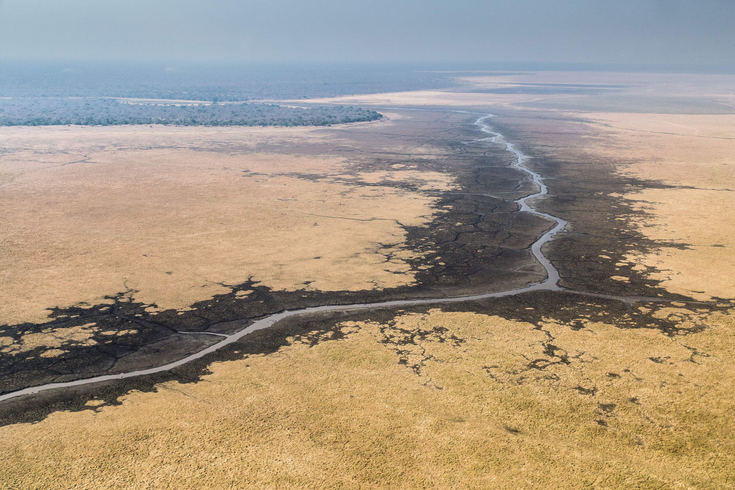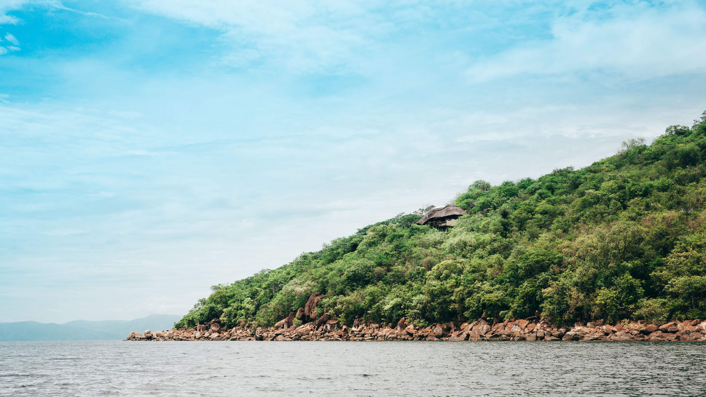
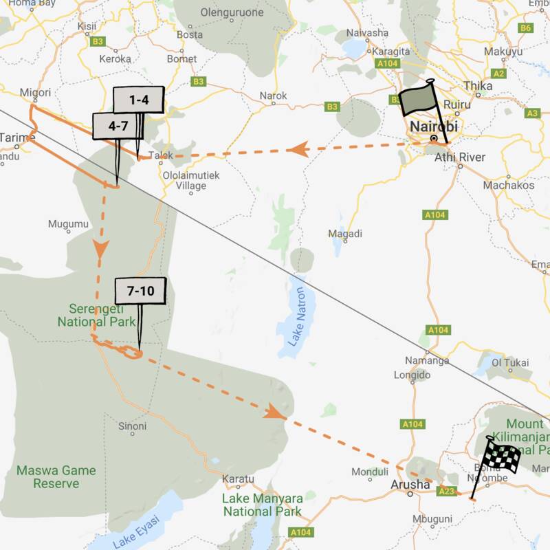
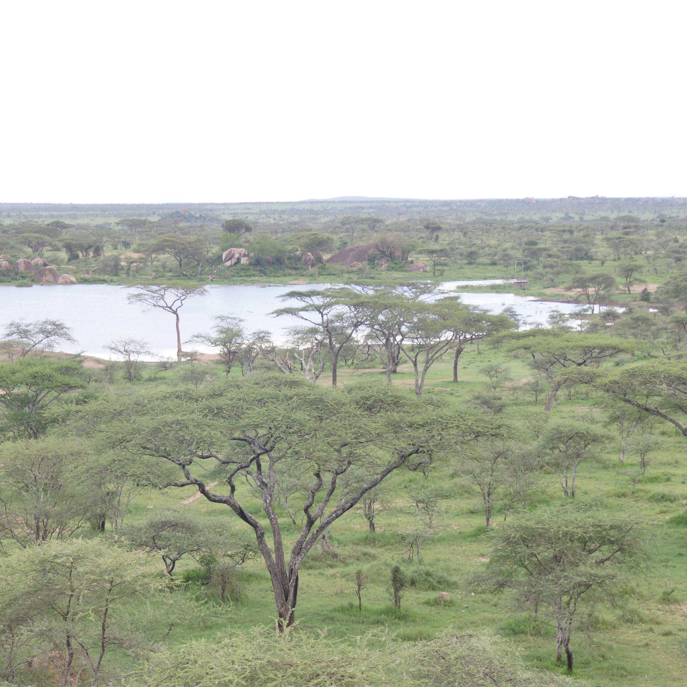
Map of Serengeti Migration Area
Serengeti Migration Area reference map
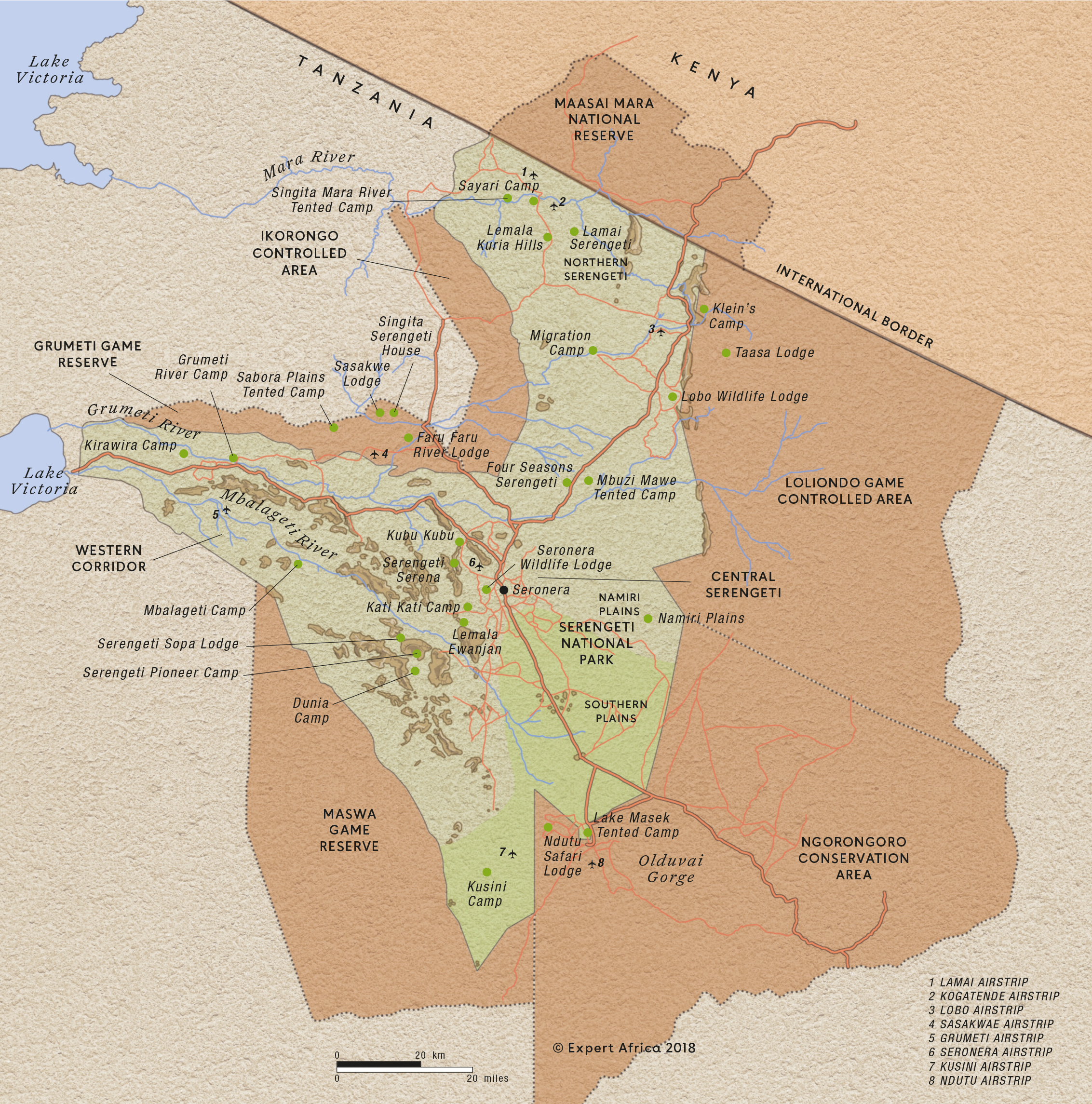
Google map of Serengeti
This map shows the Serengeti National Park and its surrounds, including Kenya's Masaai Mara National Reserve. The markers show the precise locations of Expert Africa's selected safari camps and lodges.
For more information, also see:
► Map of the Serengeti showing the boundaries of the national park
► A moving map of the wildebeest migration – tracking them month-by-month
► An area-by-area commentary on the Serengeti, listing each area's camps and lodges
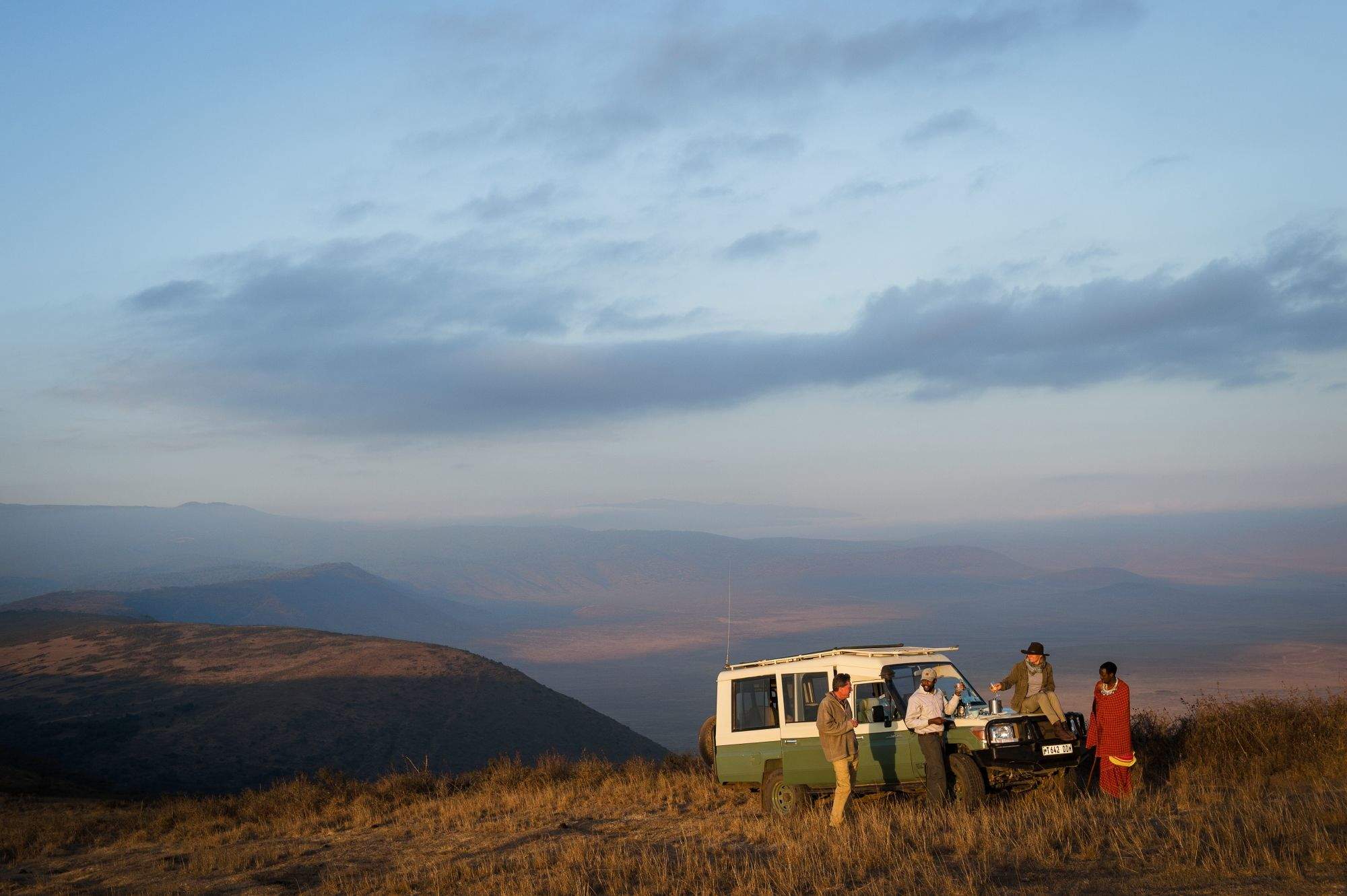
Safaris visiting Serengeti
Just ideas, we'll always tailor-make a trip for you

Flufftail Guided Safari
10 days • 3 locations • 1 country
KILIMANJARO AIRPORT TO KILIMANJARO AIRPORT
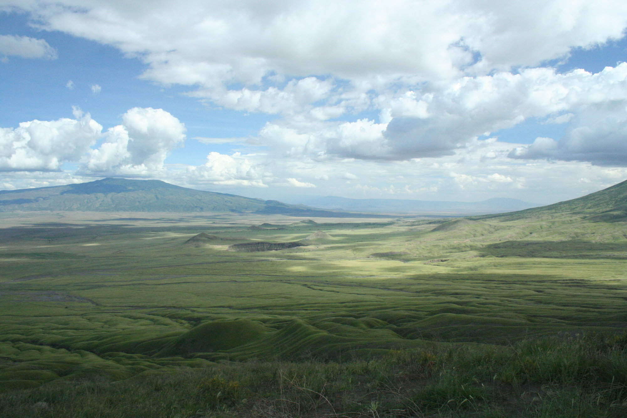
Stay in three unique camps as you safari across the Ngorongoro Crater and the iconic Serengeti Plains with your private guide and 4WD vehicle: a trip of comfort and autonomy, with excellent wildlife.
Visiting Serengeti, Ngorongoro Crater
US$12,990 - US$18,900 per person
Martial Eagle Fly-in Safari
9 days • 3 locations • 2 country
NAIROBI AIRPORT TO KILIMANJARO AIRPORT
This stylish fly-in safari visits two of Africa’s most iconic parks, the Maasai Mara National Reserve in Kenya and Tanzania's Serengeti National Park.
Visiting Serengeti, Maasai Mara
US$12,720 - US$17,740 per person

Tinkerbird Fly-in Safari
8 days • 4 locations • 1 country
KILIMANJARO AIRPORT TO KILIMANJARO AIRPORT
Explore Tanzania’s famous northern circuit in Tarangire National Park, the Ngorongoro Conservation Area and the Serengeti National Park. Four smart sister camps offer a high level of care, first-class guiding and a wide range of activities.
Visiting Tarangire, Serengeti and 1 other area
US$10,410 - US$14,140 per person


Gorillas and Migration Safari
9 days • 3 locations • 2 country
KIGALI AIRPORT TO KILIMANJARO AIRPORT
This luxury safari combines two iconic wildlife experiences: trekking to see the mountain gorillas in Rwanda, then flying to the northern Serengeti in search of the wildebeest migration and spectacular river crossings.
Visiting Serengeti, Volcanoes and 1 other area
US$19,360 - US$25,280 per person


Gorillas and Serengeti Safari
11 days • 4 locations • 2 country
KIGALI AIRPORT TO KILIMANJARO AIRPORT
Combine three iconic experiences – mountain gorillas in Rwanda, and the Serengeti plains and awe-inspiring Ngorongoro Crater in Tanzania.
Visiting Kigali, Ngorongoro Crater and 2 other areas
US$14,370 - US$15,540 per person

Firefinch Drive-Fly Safari
9 days • 3 locations • 1 country
KILIMANJARO AIRPORT TO KILIMANJARO AIRPORT
Enjoy a combination of privately guided and shared game drives during this good-value exploration of northern Tanzania. Explore game-dense regions from three comfortable bases which offer a variety of activities.
Visiting Tarangire, Ngorongoro Crater and 1 other area
US$7,720 - US$14,200 per person

Fringe-eared Oryx Fly-in Safari
7 days • 3 locations • 1 country
KILIMANJARO AIRPORT TO KILIMANJARO AIRPORT
Stay in three superbly positioned camps during this exploration of Tanzania’s famous northern circuit. Excellent views over the surrounding areas, relatively remote locations and game-rich habitat make for an exciting and varied safari experience.
Visiting Serengeti, Tarangire and 1 other area
US$7,300 - US$14,860 per person


Regal Sunbird Fly-in Safari
12 days • 5 locations • 2 country
KILIMANJARO AIRPORT TO DAR ES SALAAM AIRPORT
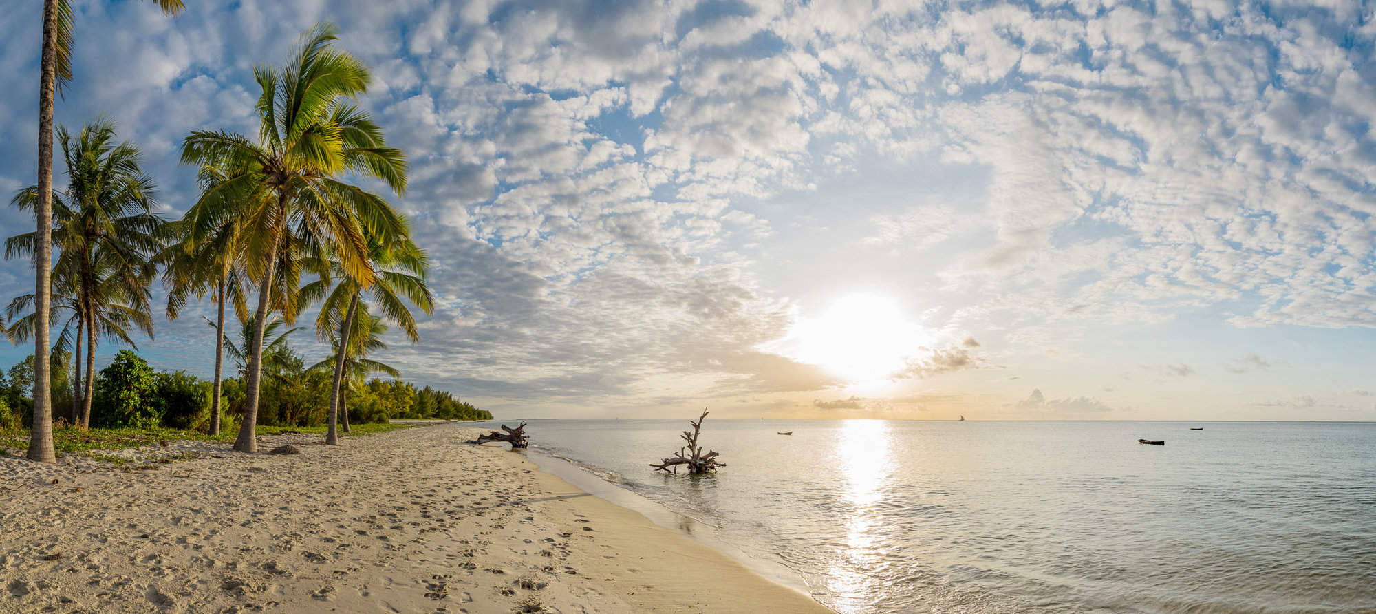
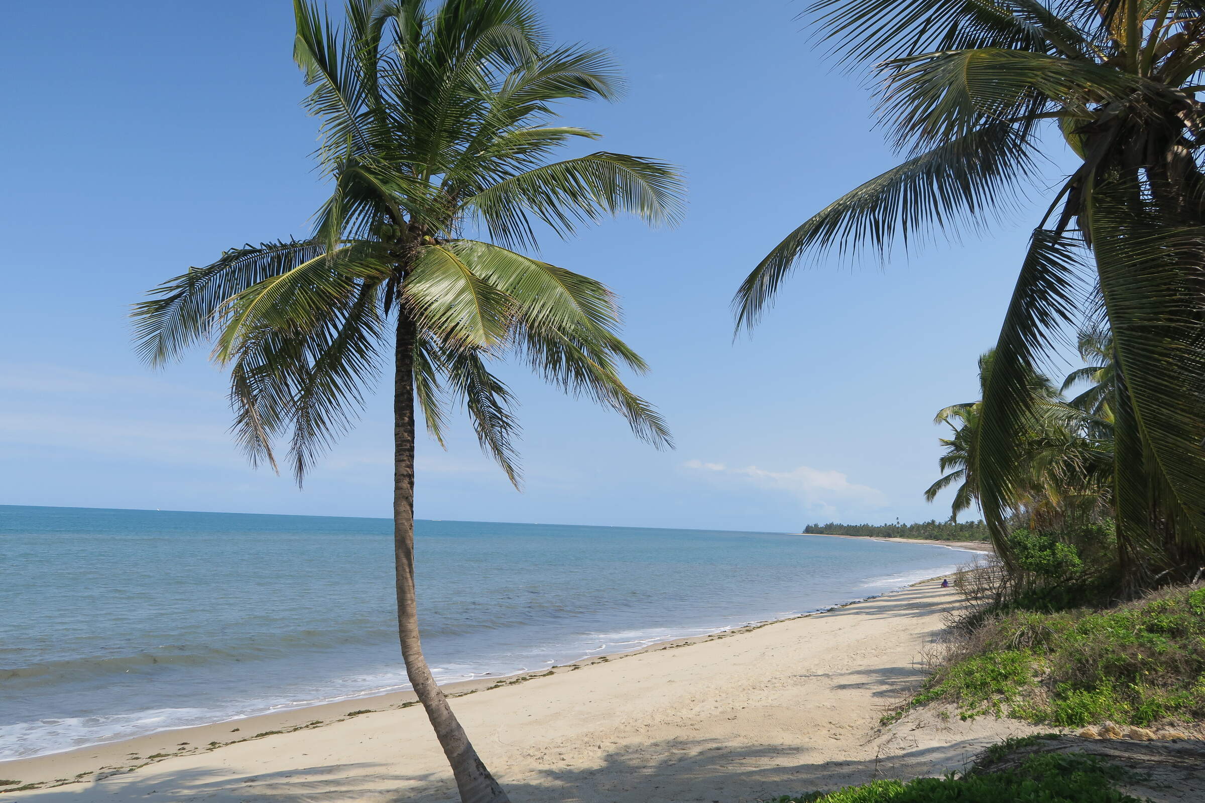
Experience the highlights of Tanzania with a safari in the country’s famous northern parks followed by historic Stone Town and the palm-fringed beaches of Zanzibar, staying in high-quality accommodation throughout.
Visiting Tarangire, Ngorongoro Crater and 3 other areas
US$10,570 - US$16,370 per person


Lovebird Fly-in Safari
5 days • 2 locations • 1 country
KILIMANJARO AIRPORT TO KILIMANJARO AIRPORT
Visit two consistently impressive wildlife destinations during this excellent-value safari in northern Tanzania. Enjoy a range of walks and cultural visits from sister camps at the Ngorongoro Crater and in the heart of the Serengeti.
Visiting Ngorongoro Crater, Serengeti
US$3,520 - US$4,900 per person


Avocet Fly-in Safari
7 days • 3 locations • 1 country
KILIMANJARO AIRPORT TO KILIMANJARO AIRPORT
This luxurious safari explores three iconic African reserves from exclusive lodges in unbeatable locations. A very high standard of food, care and guiding ensure that you can focus on this amazing experience.
Visiting Lake Manyara, Ngorongoro Crater and 1 other area
US$10,520 - US$15,860 per person

Looking for inspiration on where to travel next?
Visit our trip chooser to explore your options and find inspiration for your perfect African adventure
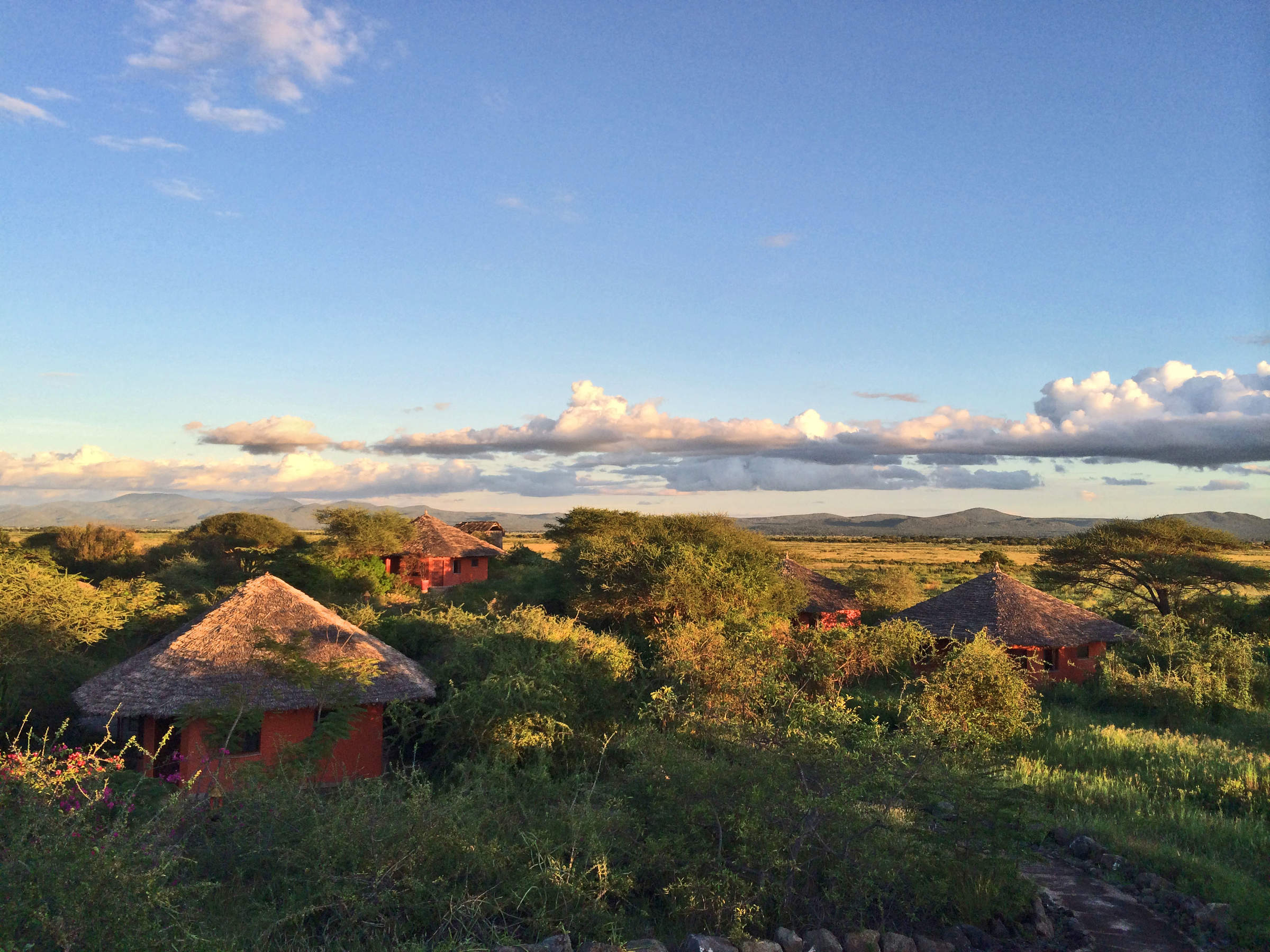
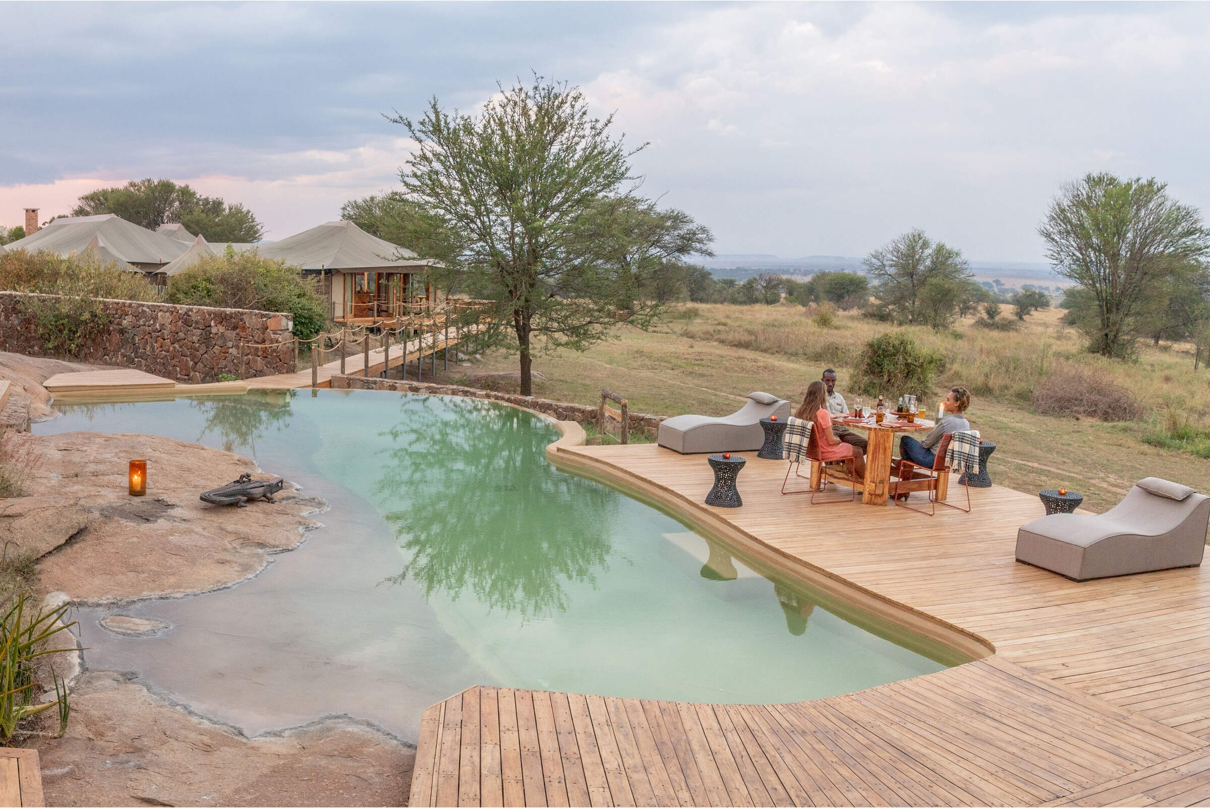
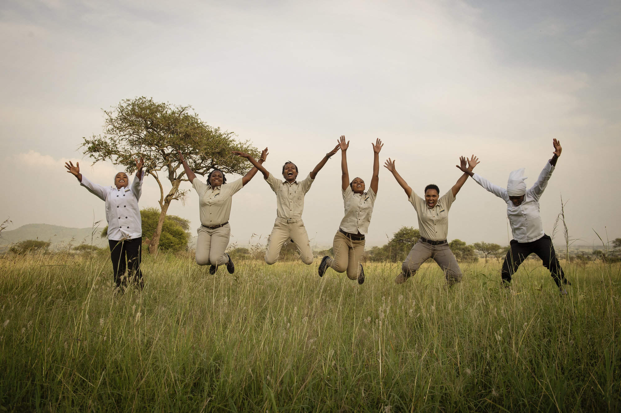
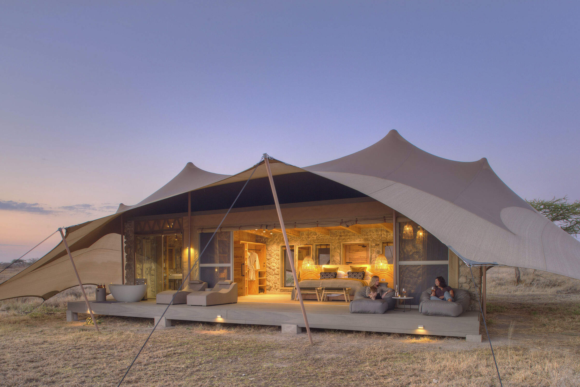
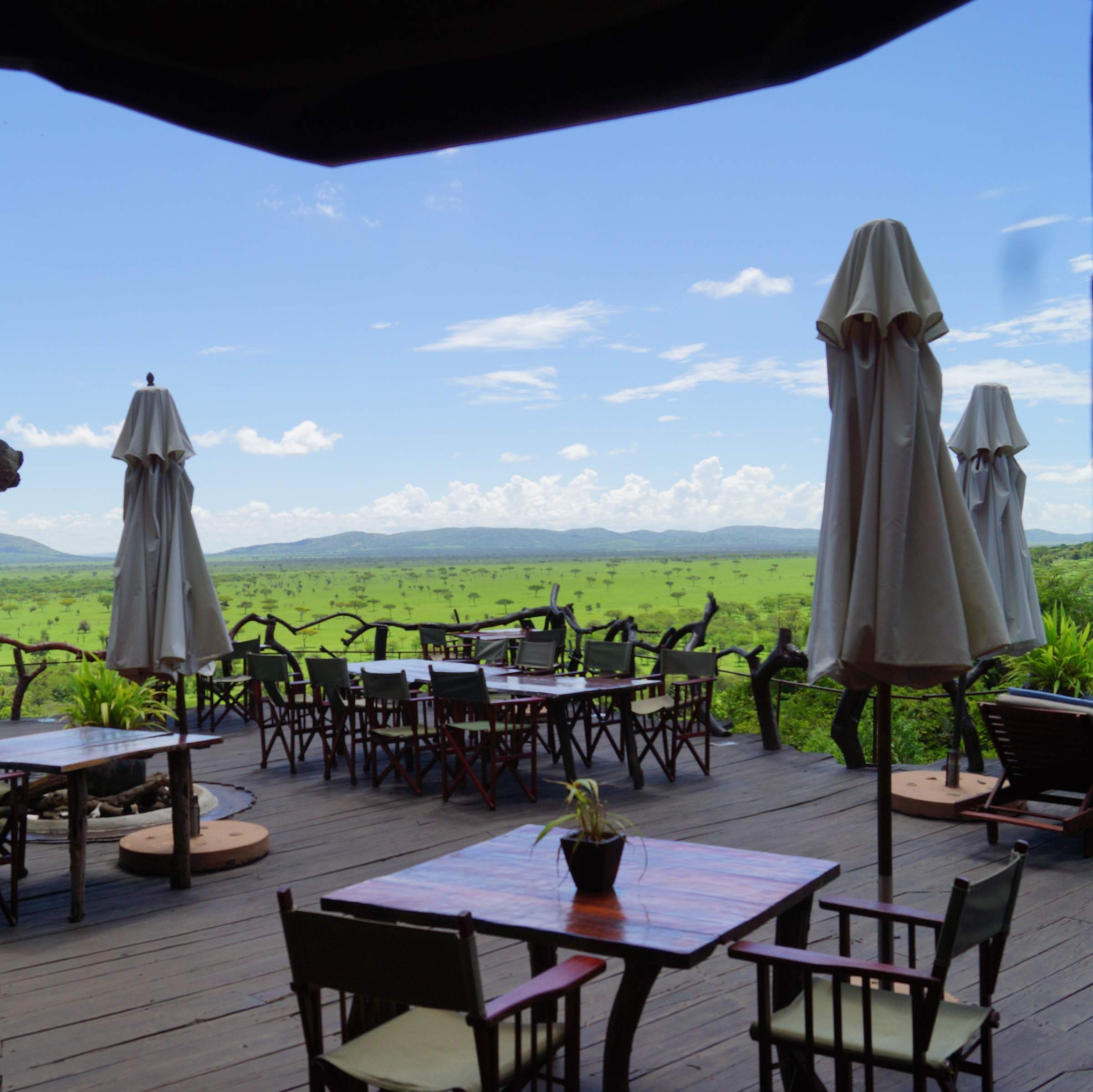
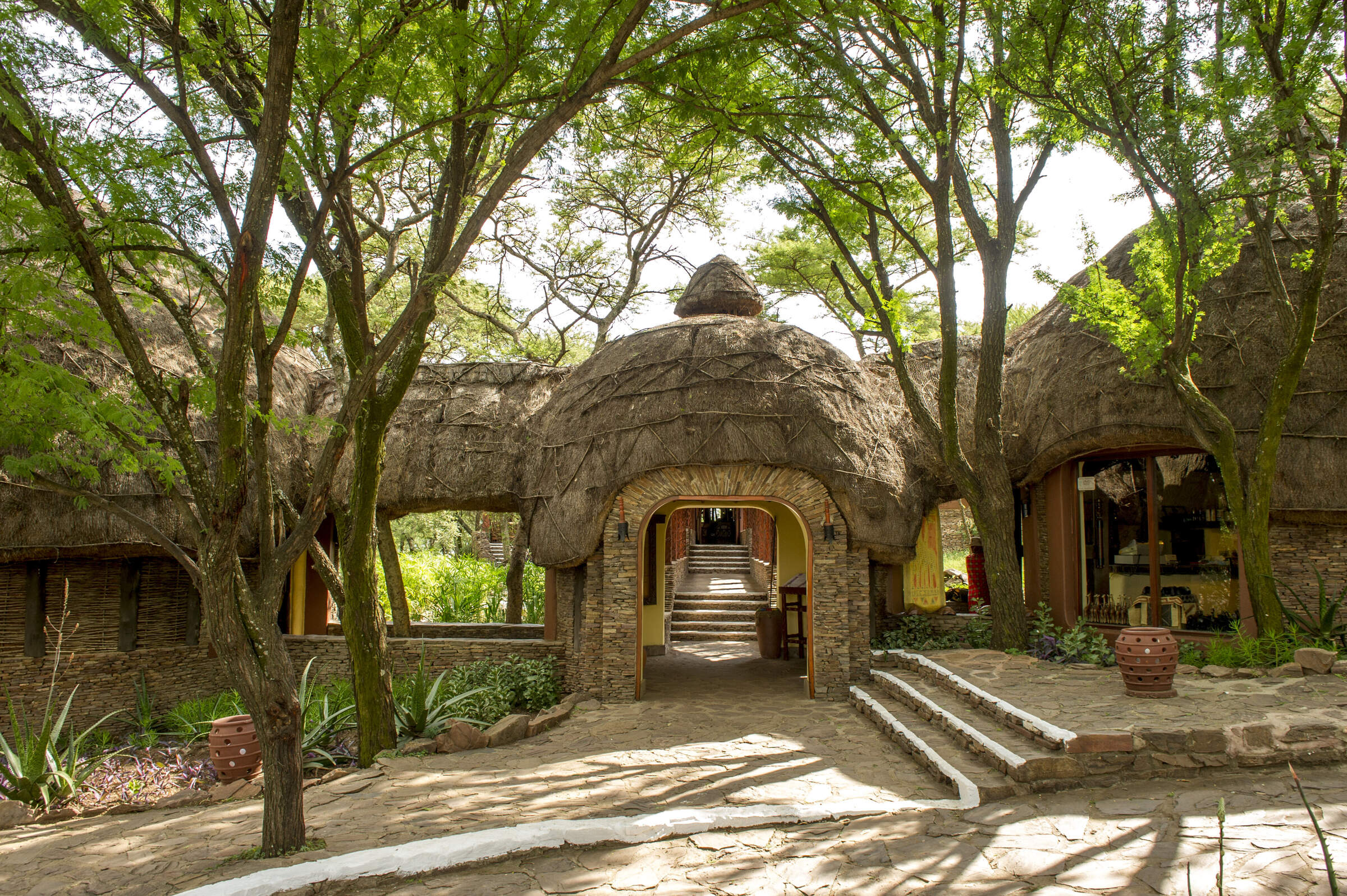
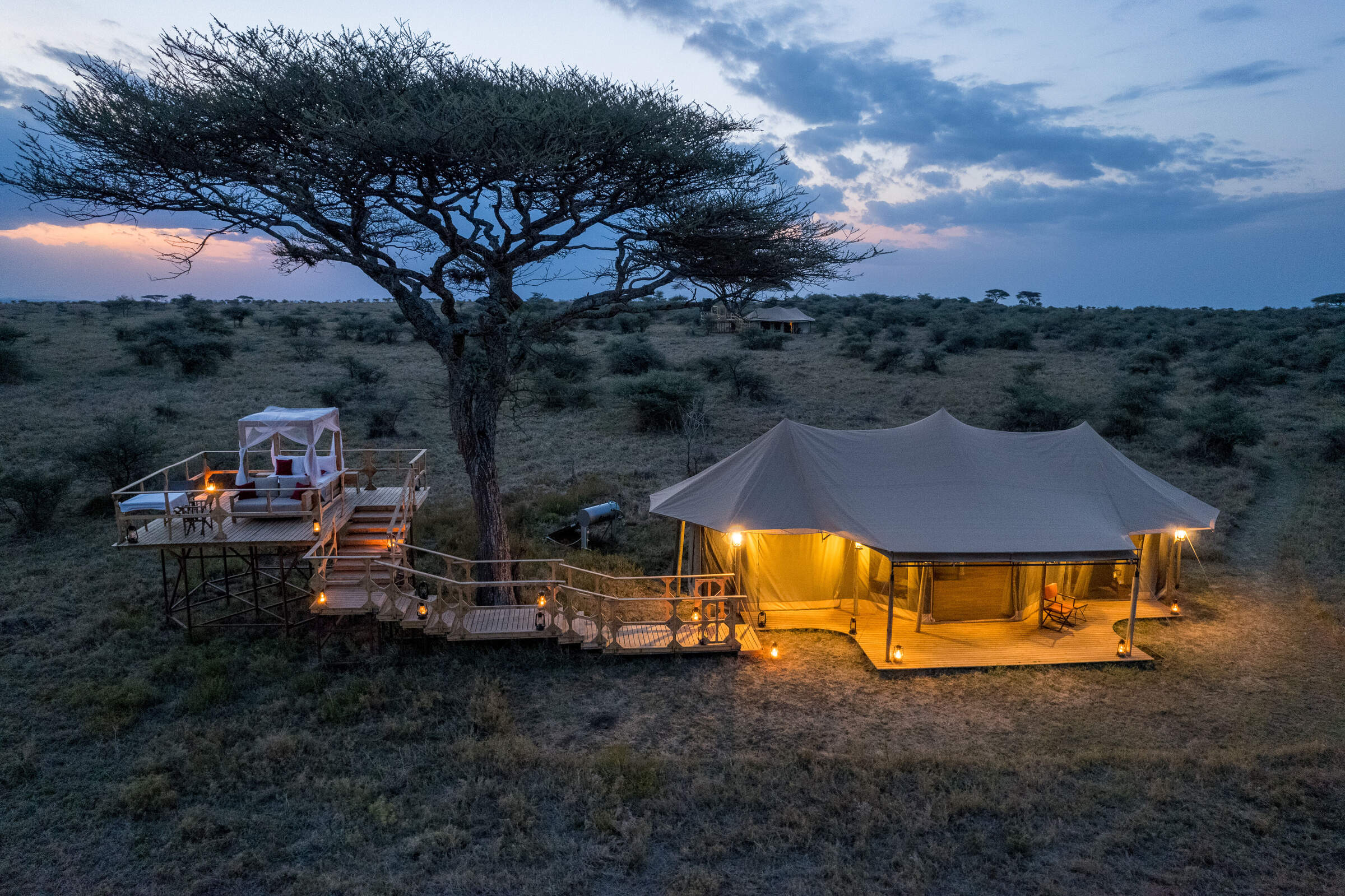
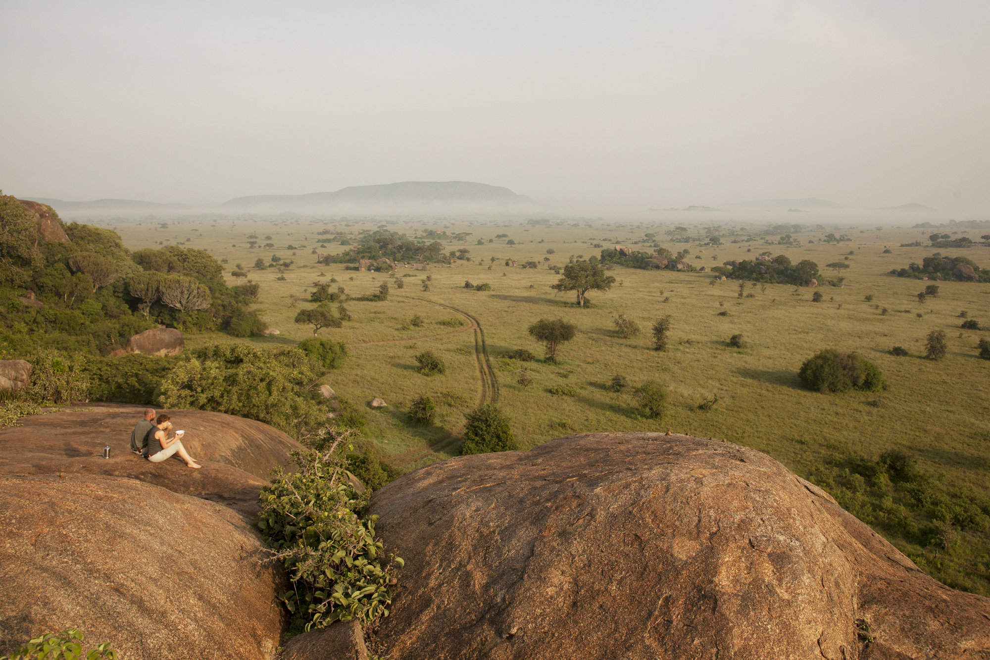
Inspire meWhere to stay in Serengeti
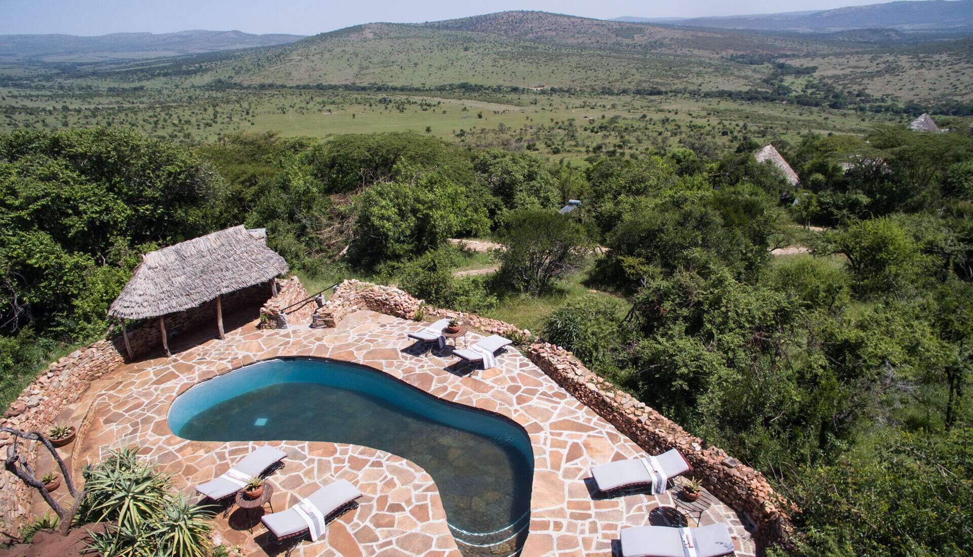
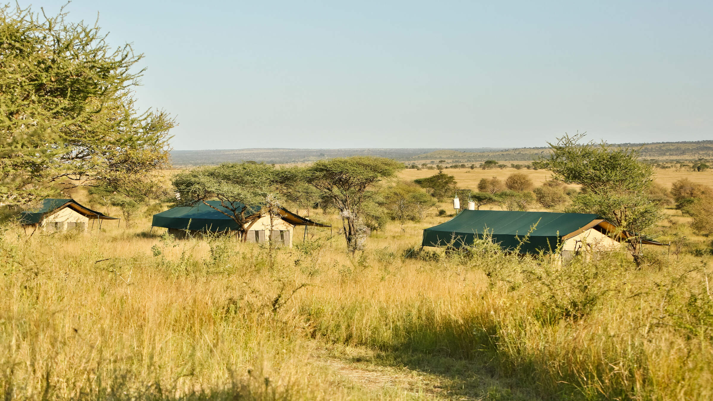
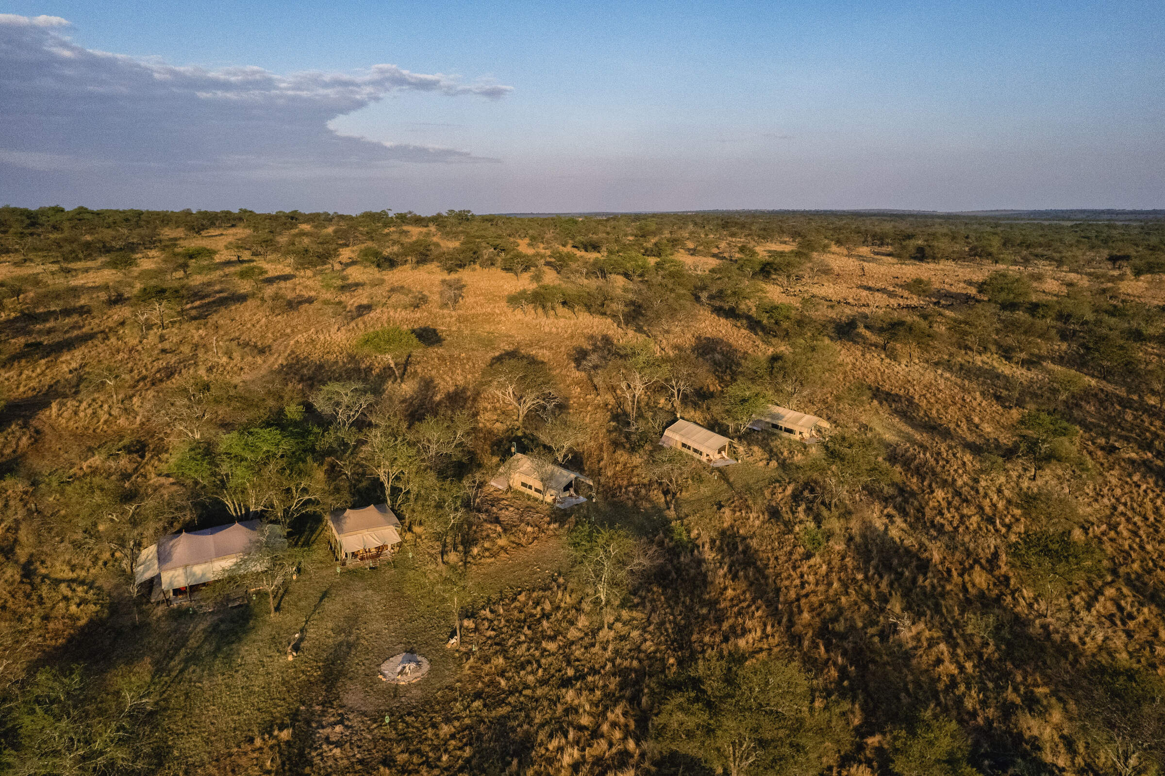
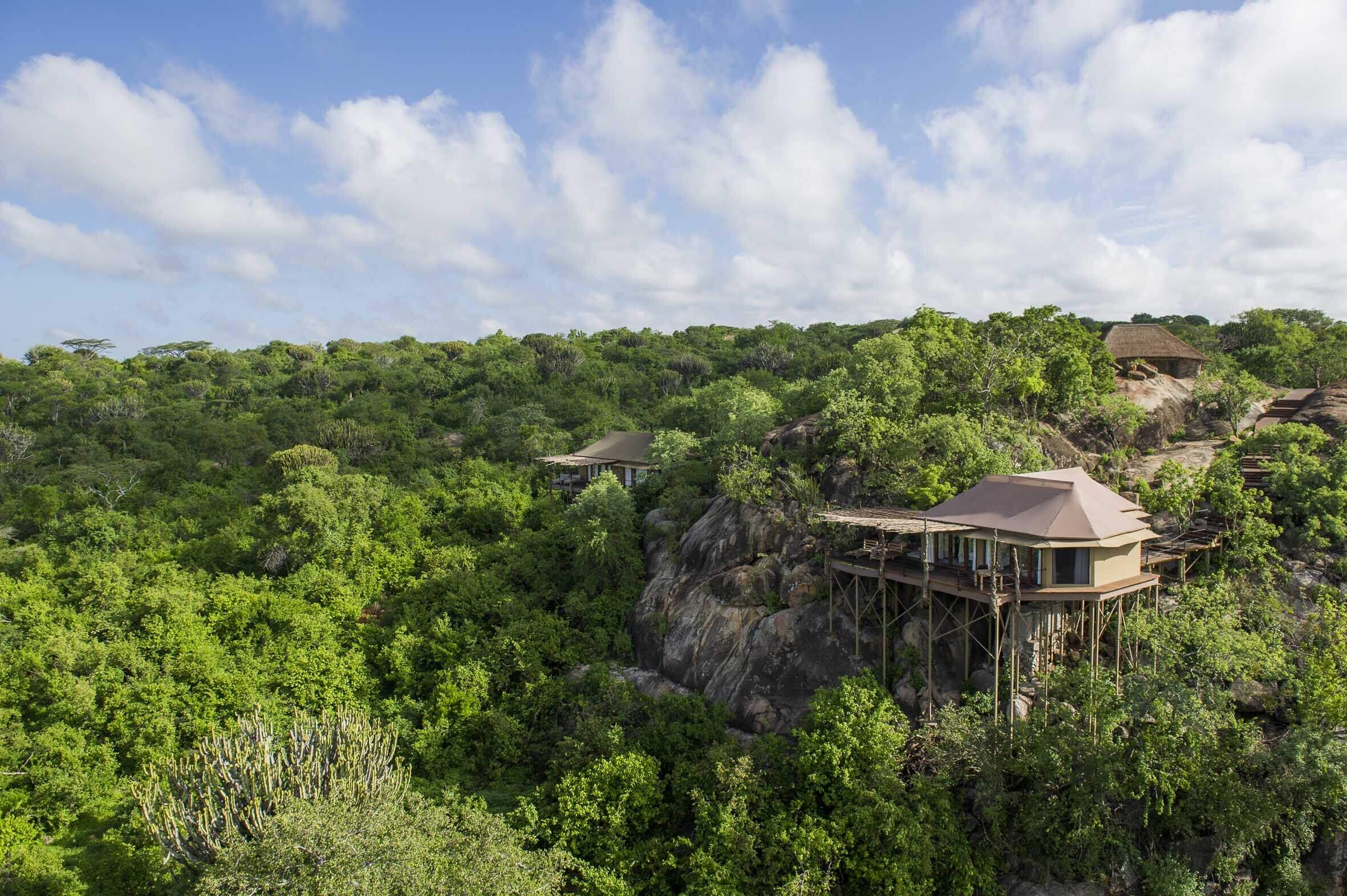
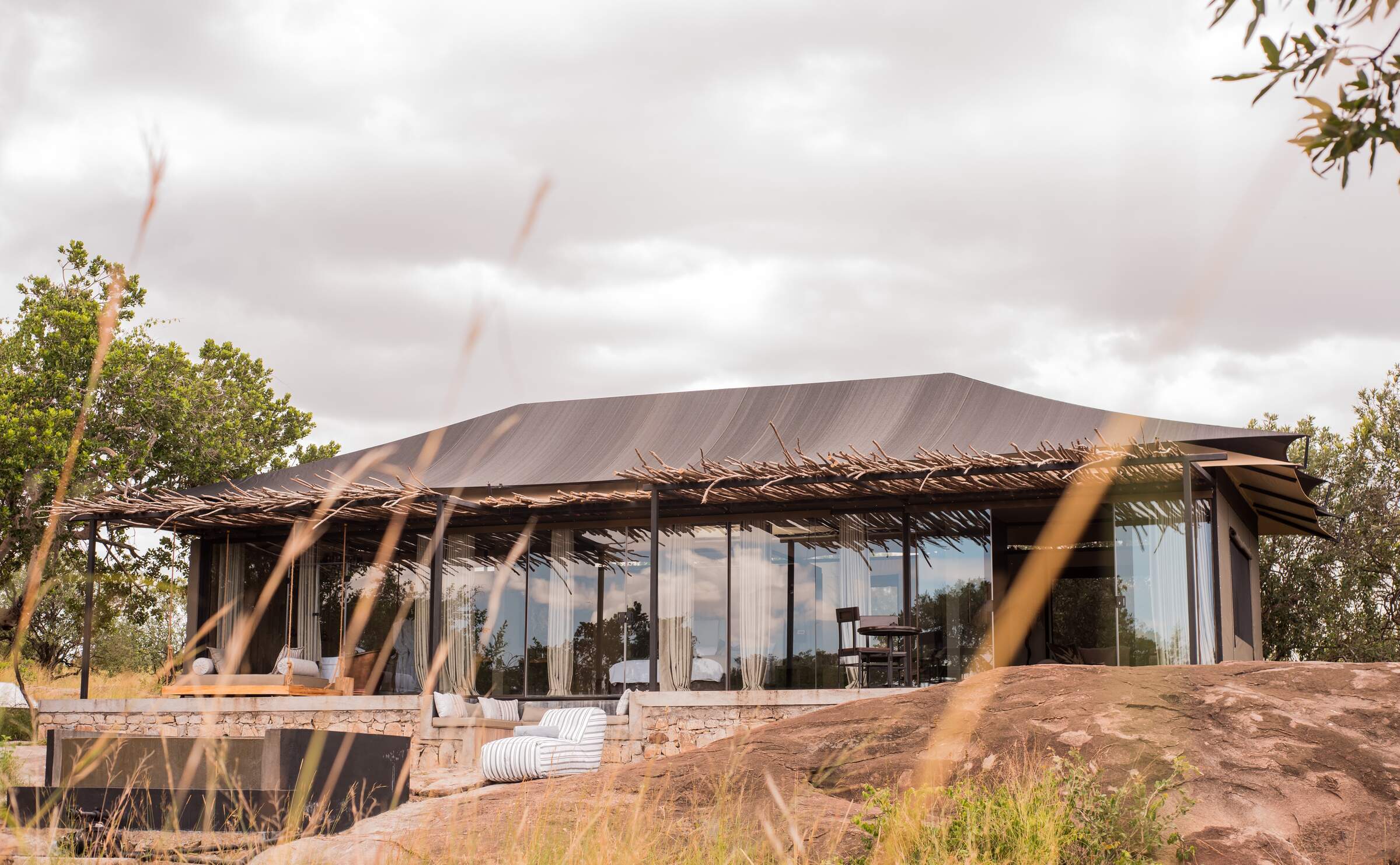
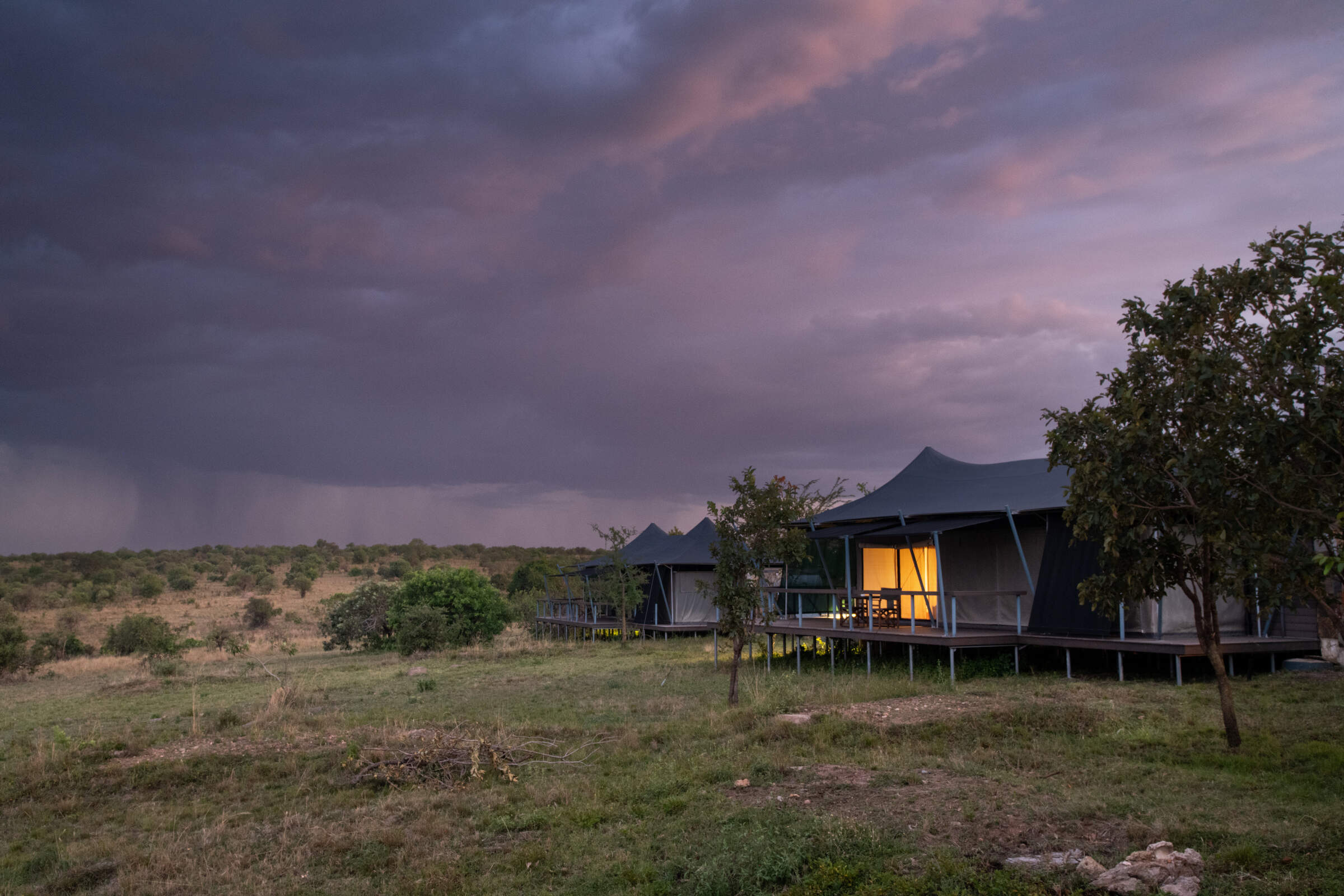
Our suggestions for safari camps in Serengeti Migration Area
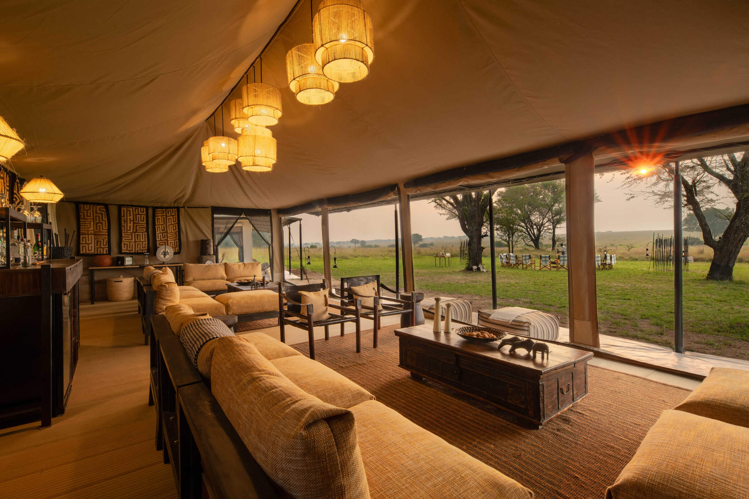
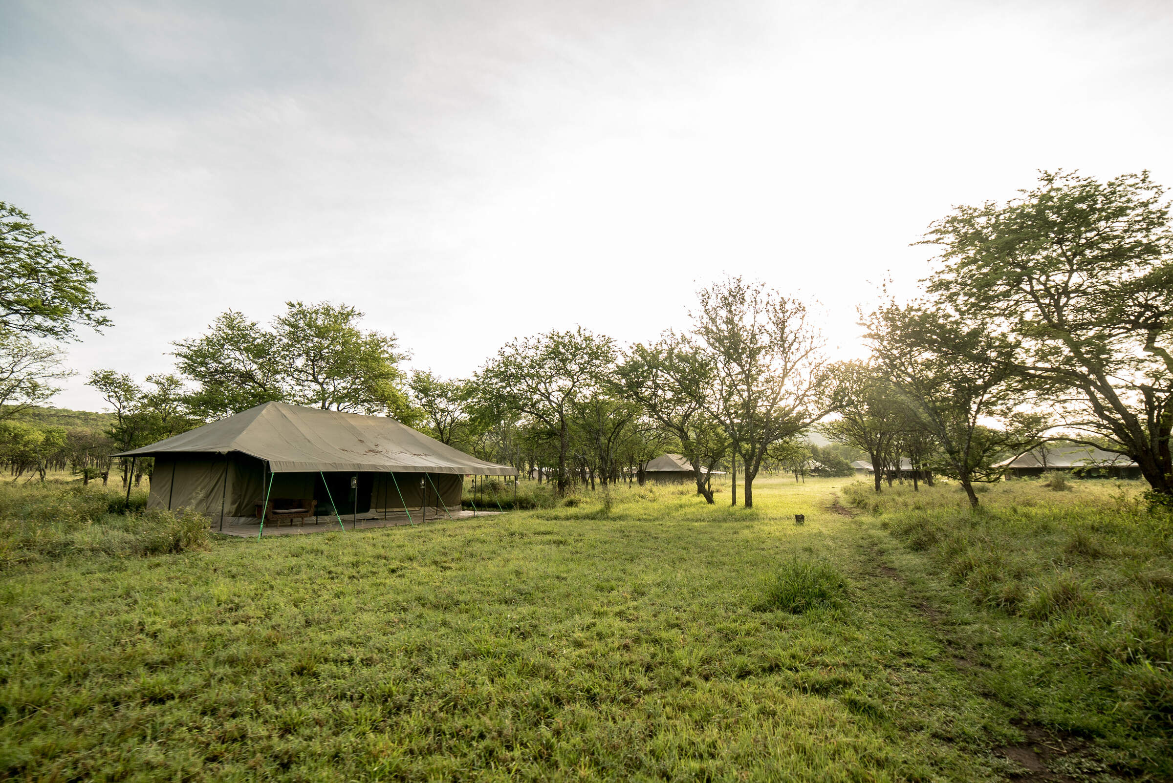
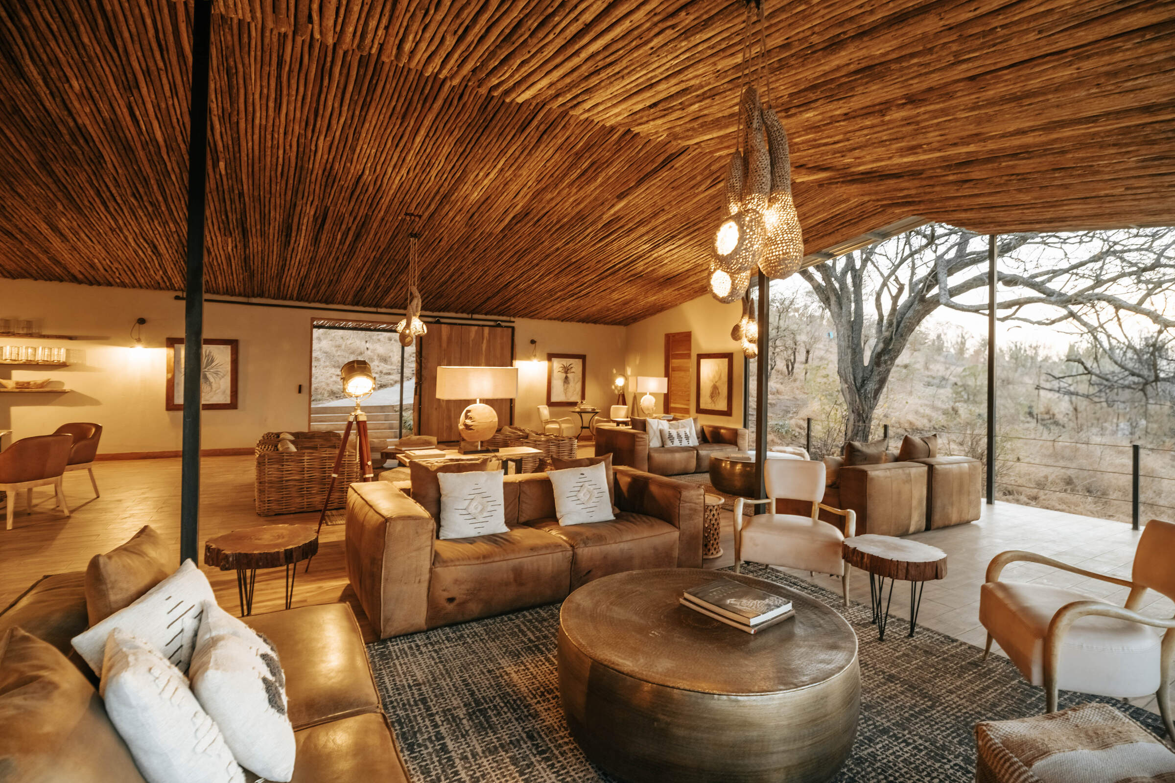
Olakira Camp
Comfortable, friendly and relaxed, Olakira Camp moves between the Mara River and the southern Ndutu area, in line with the wildebeest migration.
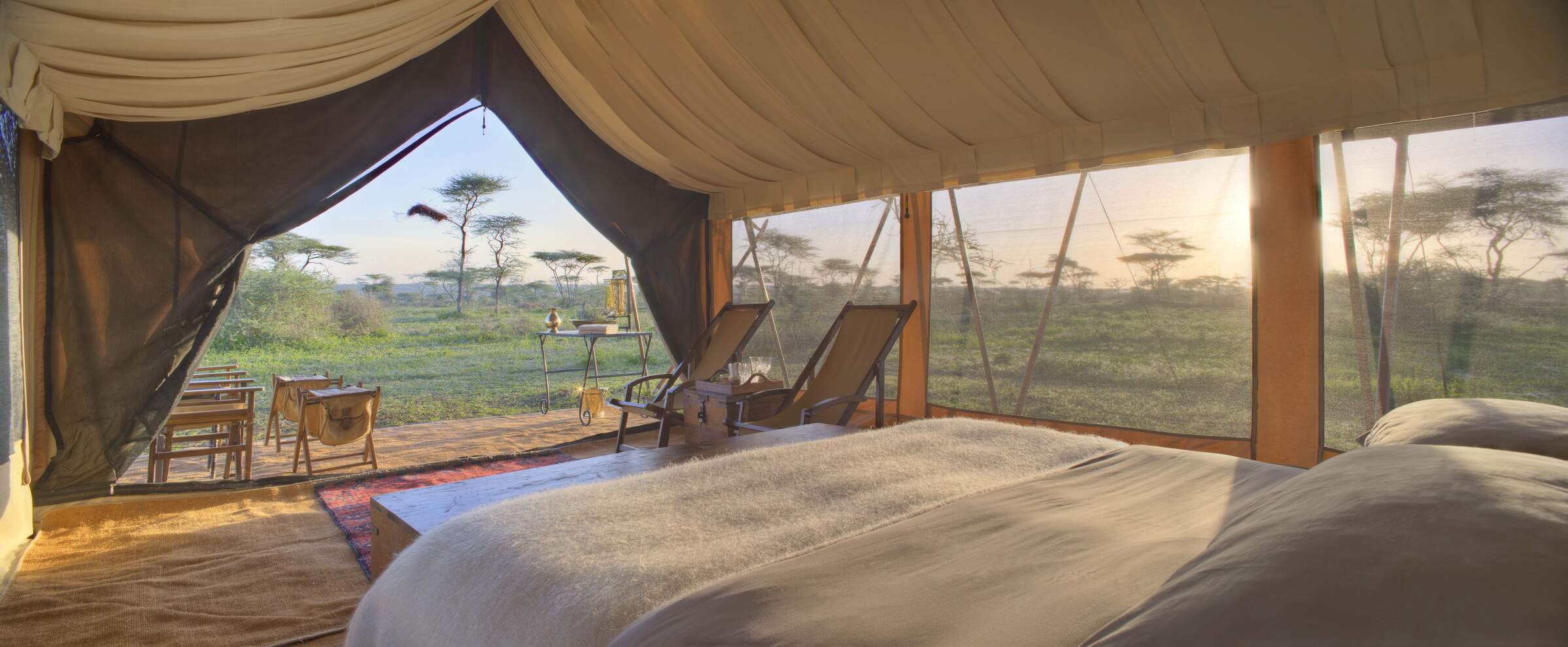
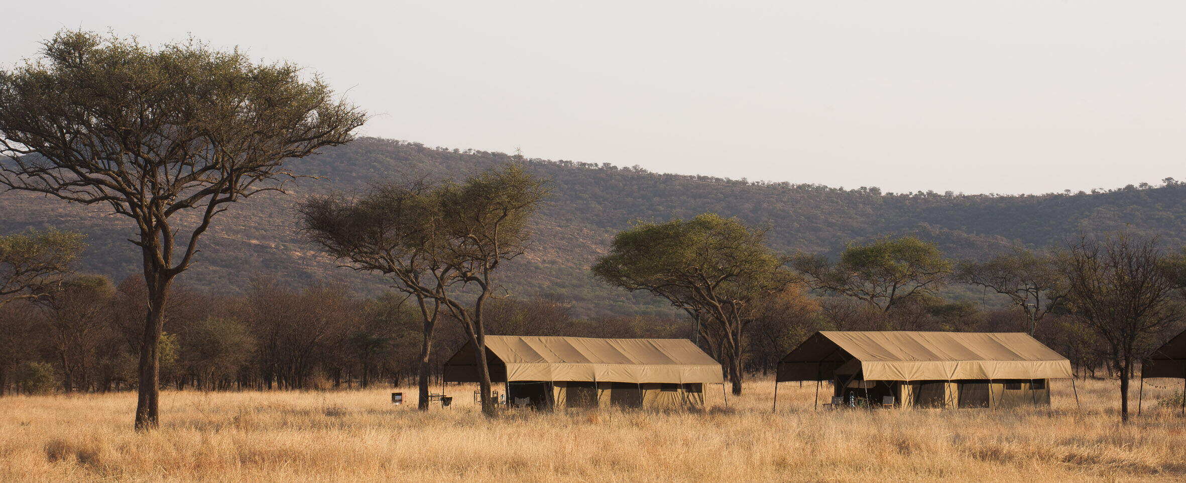
Nomad Serengeti Camp
Serengeti Safari Camp is a well-appointed tented camp that moves several times a year to follow the predicted path of the migration.
Sayari Camp
In the northern Serengeti, near the Mara River, luxurious Sayari Camp offers excellent wildife all year – boosted further by the wildebeest migration.
Dunia Camp
Dunia Camp is well located for the migration from December to March, and has excellent game viewing for the rest of the year.
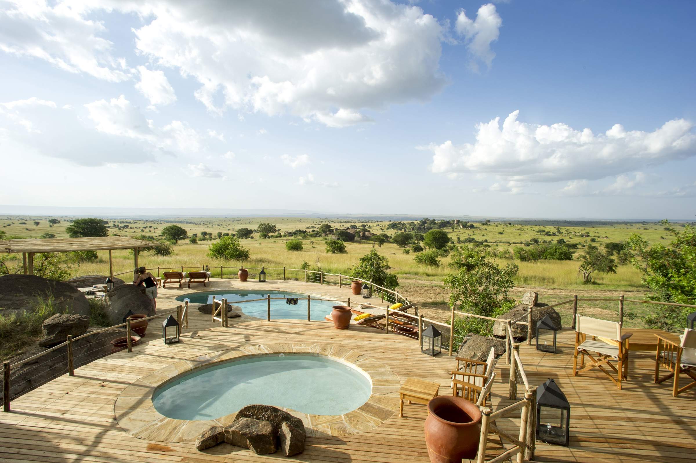
Namiri Plains Camp
Namiri Plains is one of the best camps in the Serengeti and its remoteness ensures a fantastic wildlife experience away from the crowds.
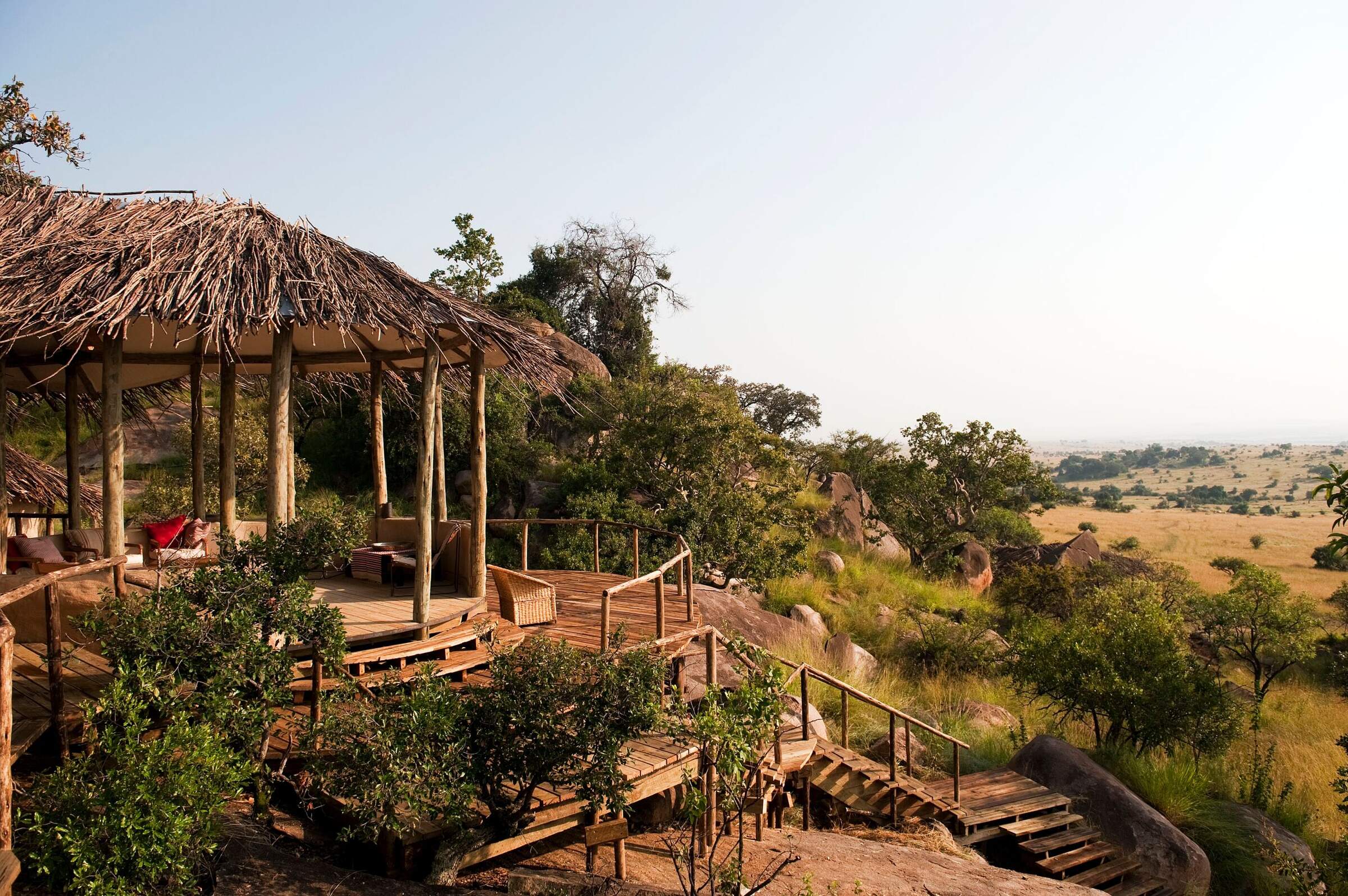
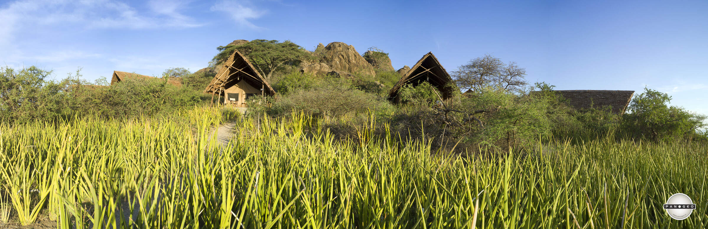
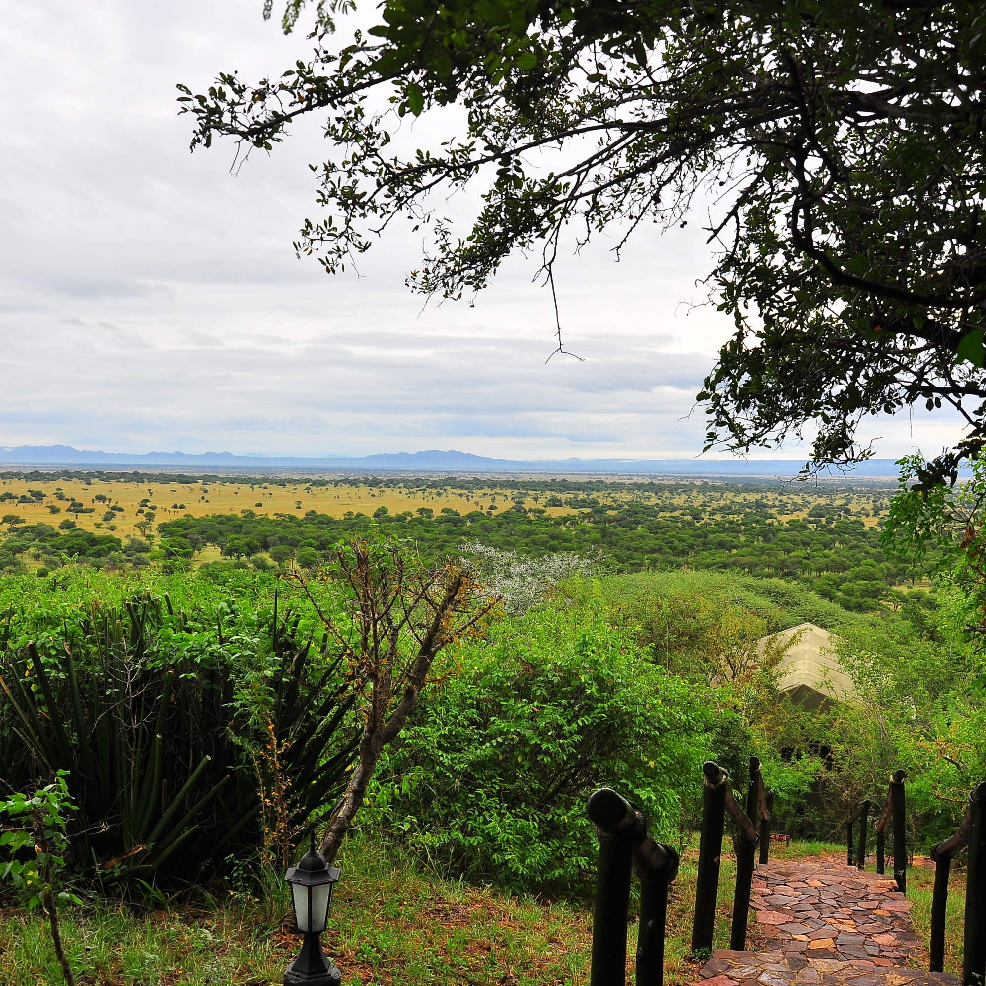
Lamai Serengeti
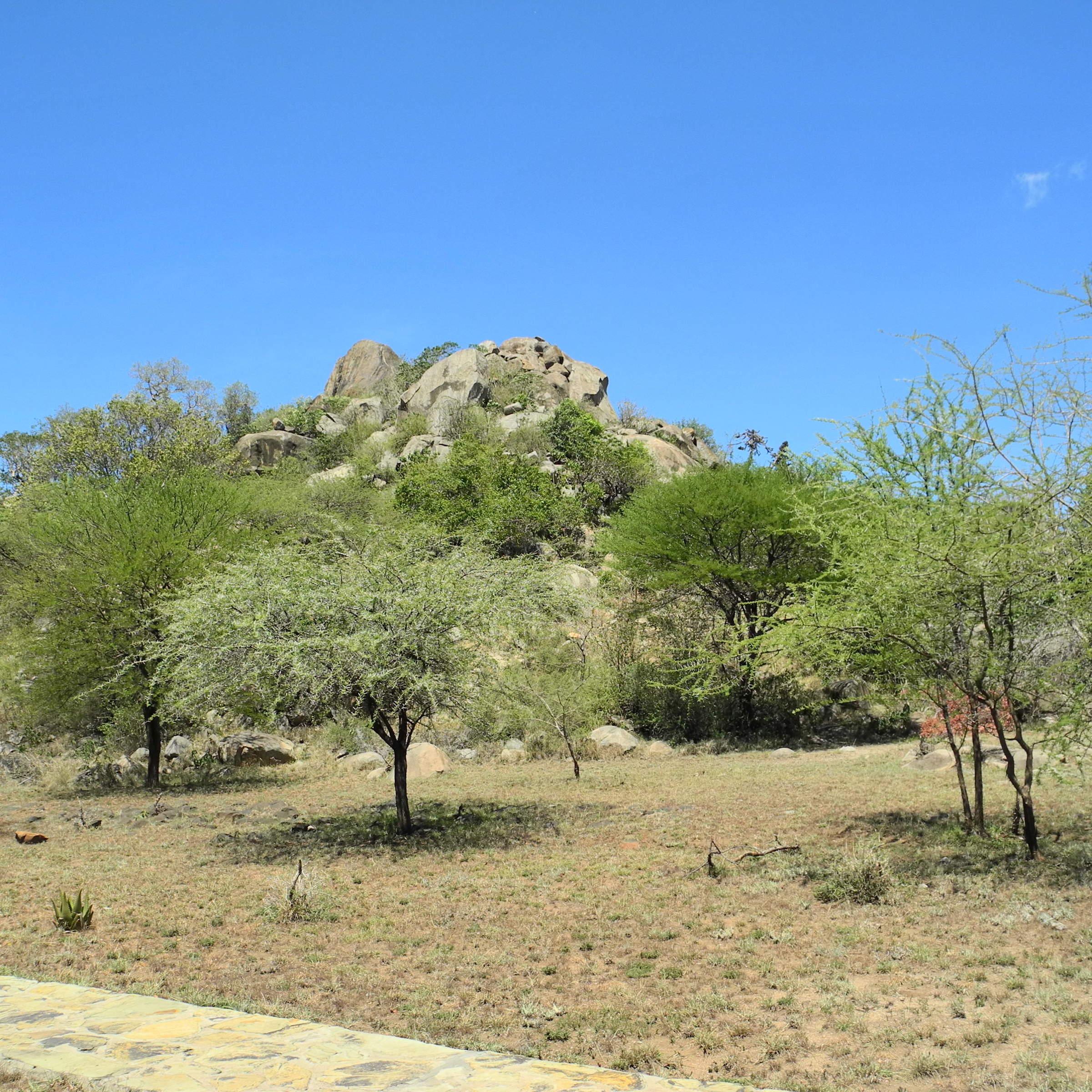
Set high in the kopjes with fantastic views, Lamai Serengeti offers top service and guiding and good migration sightings from Jul-Oct.
Ubuntu Camp
Ubuntu Camp has several locations in the Serengeti, following the wildebeest migration, so it is often in a great location to see the herds.
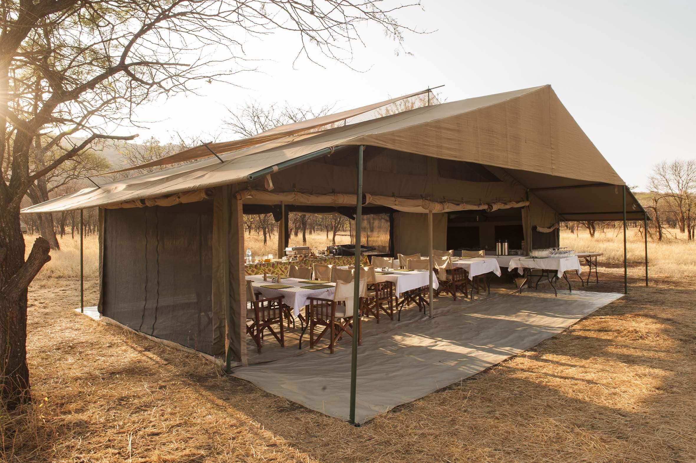
Kati Kati Camp
Kati Kati is a small, very simple bushcamp, which is well-positioned to explore the wildlife-rich Seronera area.
Ndutu Safari Lodge
Large and economical, but not luxurious, Ndutu Safari Lodge is well located in the southern Serengeti, so book early to get space.
Serian Serengeti
Serian Serengeti is a mobile tented operation run by Alex Walker which moves between two locations following the wildebeest migration.
Klein's Camp
Klein's Camp, in a private area of the northern Serengeti, sets high standards. Activities include walks, nights drives and Maasai village visits.
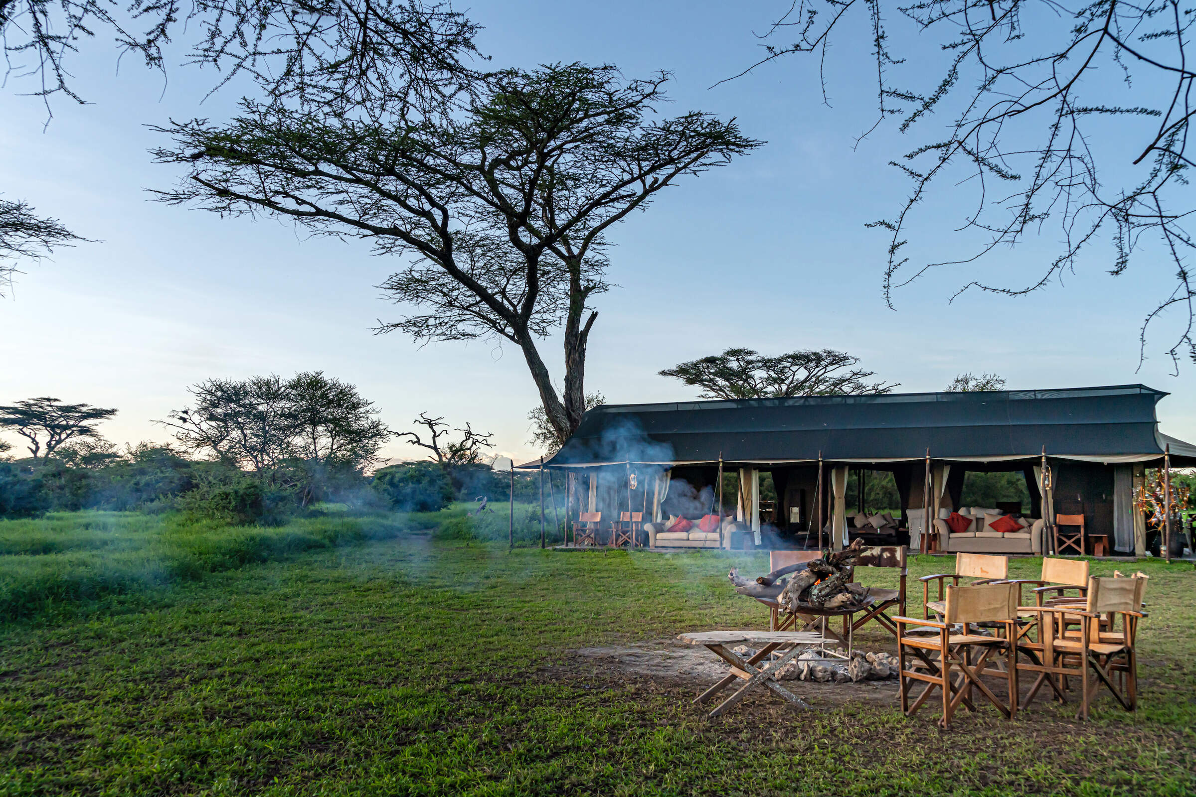
Serengeti under Canvas
Two of the three Serengeti under Canvas camps move through the Serengeti National Park every few months to follow the wildebeest migration.
Grumeti River Camp
Grumeti River Camp offers a laid-back atmosphere combined with top service, first-rate food, expert guiding and an excellent location.
Lemala Mara-Ndutu
Lemala Mara-Ndutu is a semi-permanent camp that moves between the north and south of the Serengeti to witness the wildebeest migration.
Lemala Kuria Hills
Lemala Kuria Hills is a luxury permanent camp that is ideally located for wildlife all year around, but especially during the wildebeest migration.
Lemala Ewanjan
Lemala Ewanjan is a comfortable and stylish tented camp in the Seronera area of the central Serengeti National Park.
Lemala Nanyukie
Lemala Nanyukie is a stylish camp located in the quieter part of the central Serengeti.
Kubu Kubu
Kubu Kubu is a contemporary, tented lodge, well located in the central Seronera area of the Serengeti National Park.
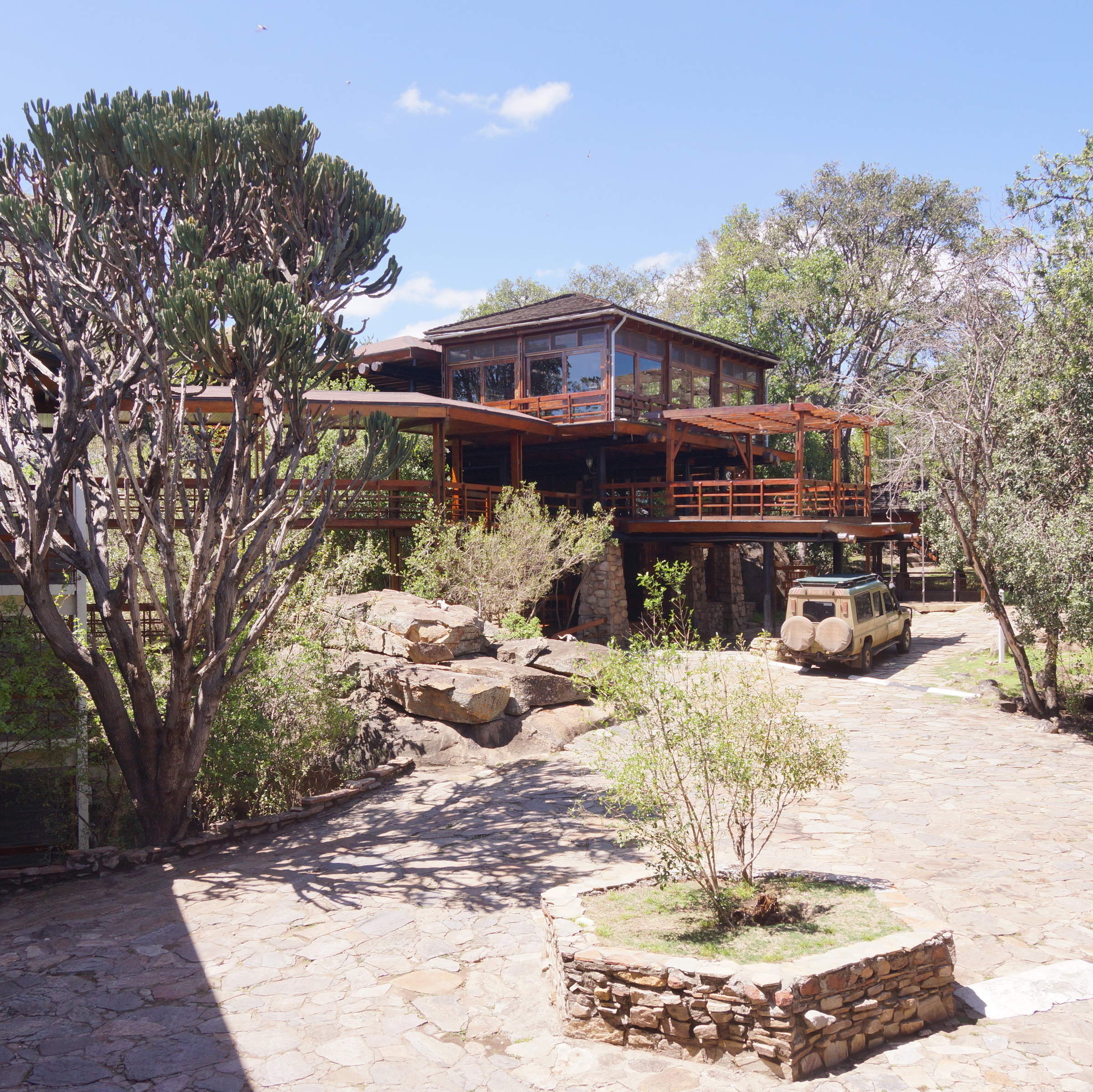
Lobo Wildlife Lodge
The large Lobo Wildlife Lodge has simple, functional rooms in a stunning location. It's a good base for exploring the north-eastern Serengeti.
Mkombe's House Lamai
Mkombe's House Lamai is a fully staffed private house in the Wogakuria Kopjes district of Serengeti National Park.
Kusini Camp
Kusini Camp is permanent, luxury camp located on a beautiful kopje in a quiet, wildlife-rich corner of the south-west Serengeti.
Serengeti Walking Mobile
This fairly simple camp offers only walking activities, but it's very well done and combines well with more conventional camps or lodges.
Mbalageti Lodge
Mbalageti is a well-run lodge in a quiet part of the Serengeti's western corridor – an ideal location during the Apr-Jun migration.
Serengeti Serena
The Serengeti Serena Safari Lodge is a large, hotel-style lodge and a good family-friendly base from which to explore the central Serengeti.
Olmara Camp
With just eight guest tents, including two family tents and three signature stargazer tents, Olmara is a simple, family-friendly camp with a wonderfully attentive team. The camp captures an authentic bush experience, welcoming travellers of every kind.
Serengeti Green Camp
Serengeti Green Camp is a comfortable camping experience, in your own private safari camp and at the heart of a great wildlife area.
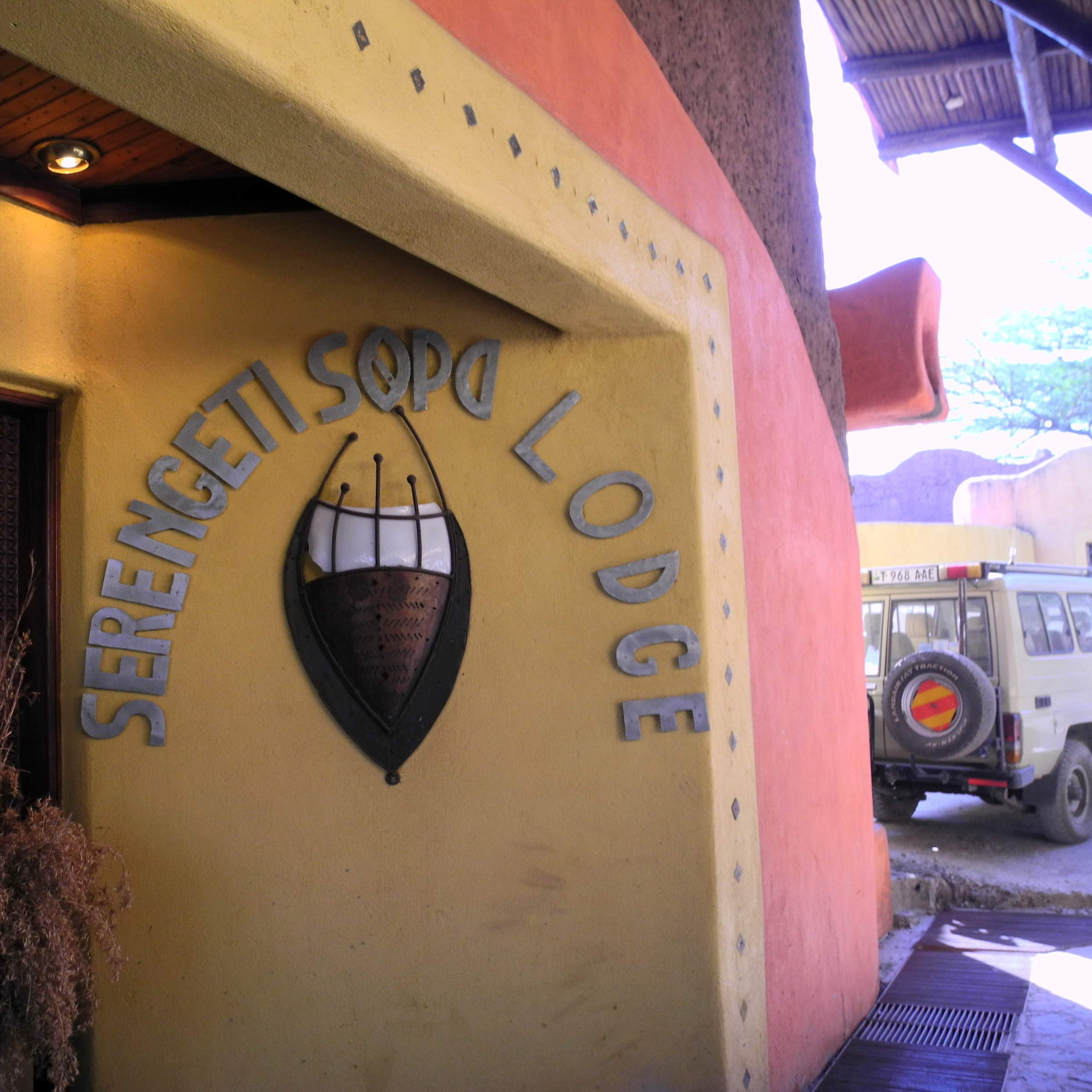
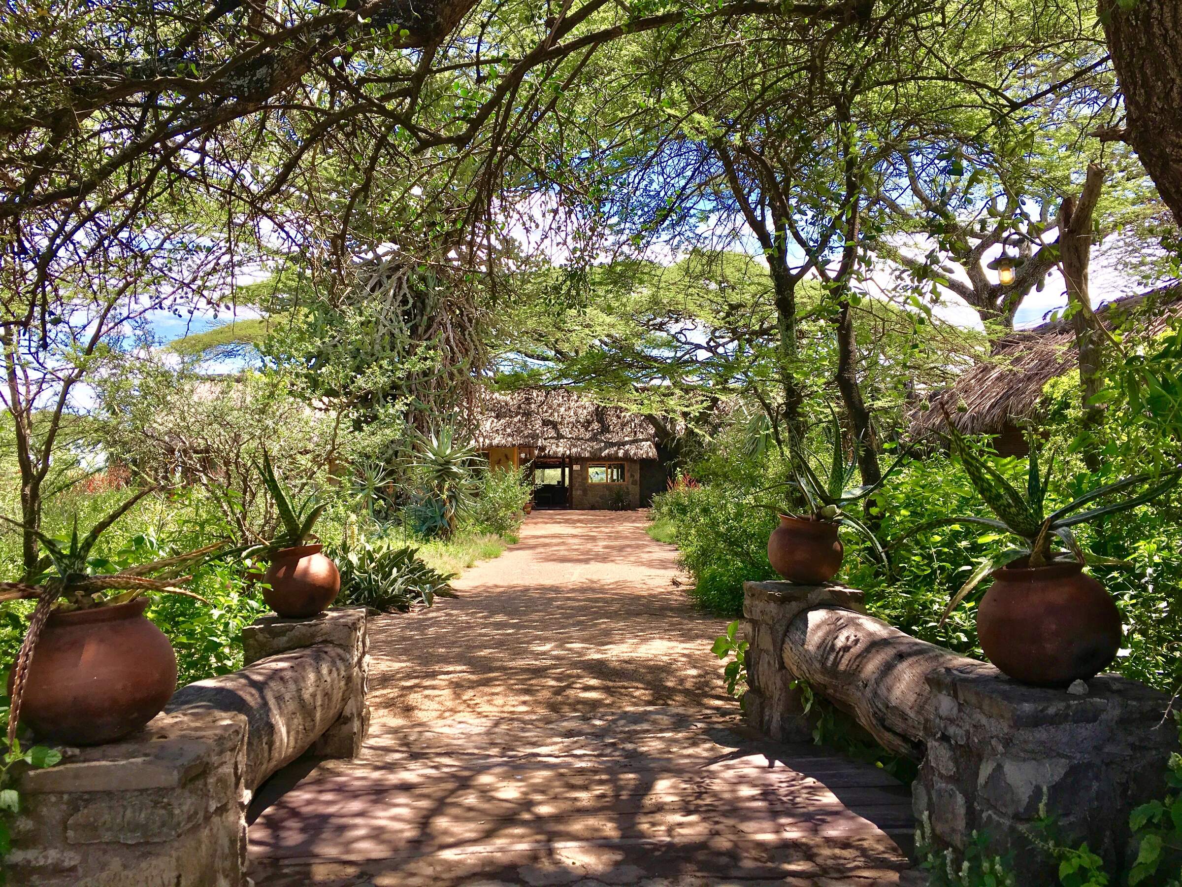
Serengeti Sopa Lodge
Serengeti Sopa Lodge is an international-style hotel offering good-value accommodation in the central Serengeti, with lovely views of the plains.
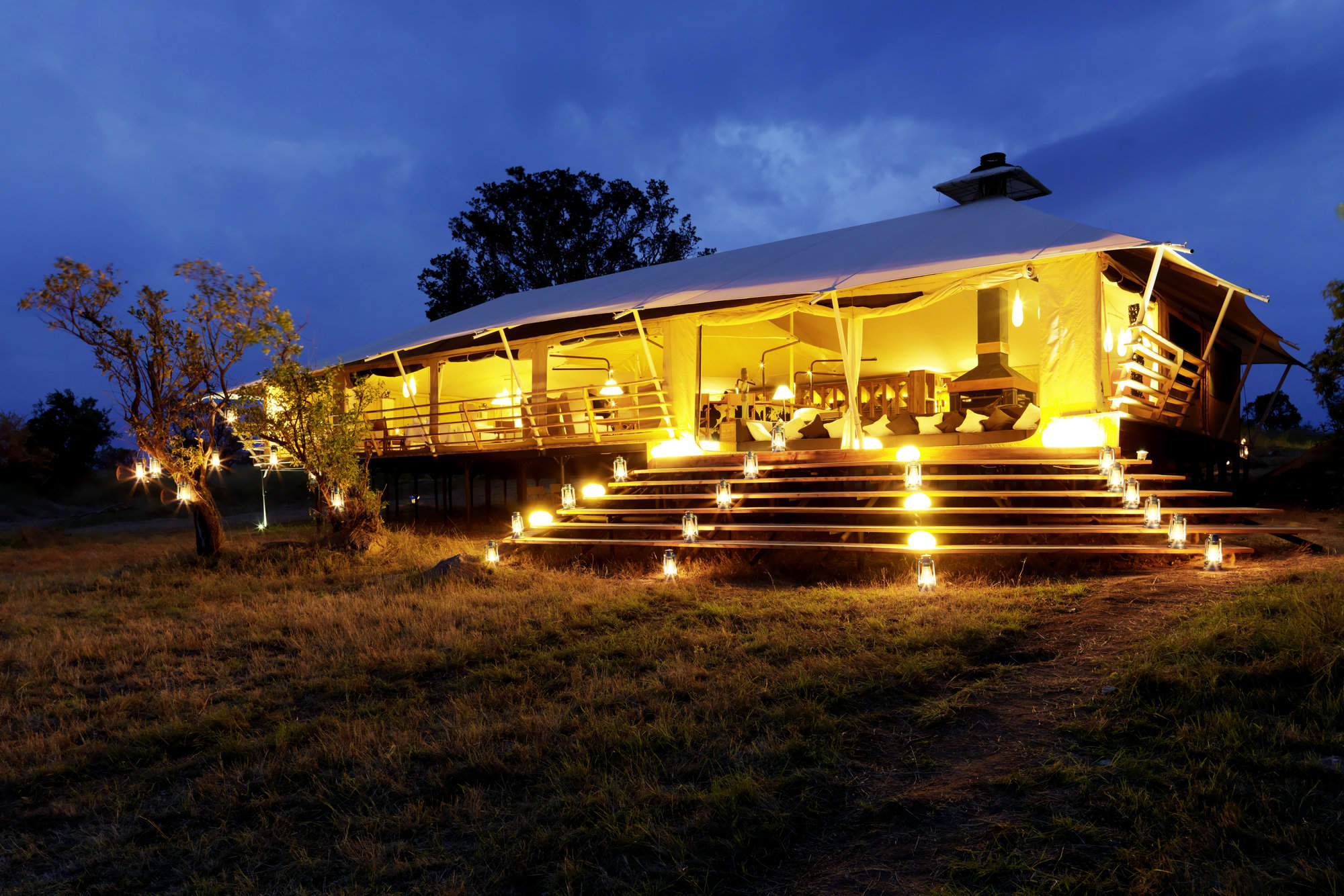
Singita Mara River
Singita Mara River Tented Camp is a luxurious camp in the isolated and rewarding Lamai wedge region of the northern Serengeti.
Migration Camp
Serengeti Migration Camp is a smart tented camp, good for the wildebeest migration from Jul–Aug, or to explore the Lobo Kopjes any time.
Faru Faru Lodge
On the north bank of the Grumeti River, Faru Faru is a small, chic hideaway in this exclusive corner of the Serengeti.
Sasakwa Lodge
On a hill looking over the Serengeti plains, Sasakwa Lodge is grand, luxurious safari camp, one of the most opulent properties in Tanzania.
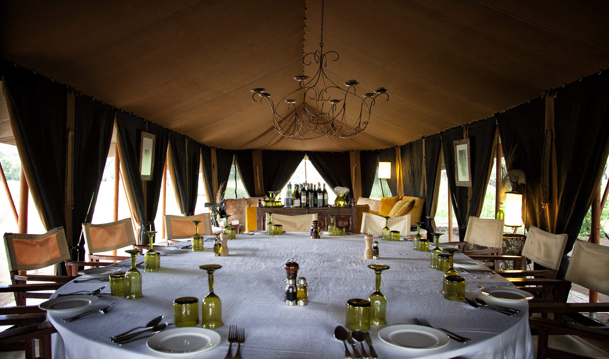
Sabora Tented Camp
Sabora Tented Camp is a smart tented camp – one of the most luxurious, professional and stylish properties to be found in Tanzania.
Kirurumu Migration Camp
Kirurumu is a rustic tented camp which moves around the Serengeti twice a year to follow the wildebeest migration.

Four Seasons Serengeti
The Four Seasons Safari Lodge is the only hotel in the Serengeti offering international facilities such as a gym, spa and children’s club.
Lake Masek Tented Camp
Ideally located for the wildebeest migration from Dec–Apr, Lake Masek Tented Camp is a good, mid-market safari camp.
Nyikani Central
Nyikani Central is a comfortable tented camp located in the game-rich Seronera area of the central Serengeti.
Esirai Migration Camp
A season migration camp, with only 8 tents and 1 family tent and plenty of character. Esirai is ideally placed for excellent wildlife and enjoys a simplistic and comfortable under-canvas experience.
Mwiba Lodge
Mwiba Lodge is a luxurious property located on a private concession on the edge of the southern Serengeti.
Nimali Mara
Nimali Mara is a luxurious safari lodge in a quiet region of the northern Serengeti with good access to the wildebeest migration.
Mara Mara
Mara Mara is a smart tented camp in the northern Serengeti, situated on a small hill close to the Mara River.
Ndutu Kati Kati
Ndutu Kati Kati is a seasonal tented camp, based in the southern Serenget from Dec-Mar, ideal for the migration as it passes through.
Olduvai Camp
Olduvai Camp lies between Ngorongoro and the southern Serengeti plains. It's a good base for the southern plains during the rainy season.
Bushtops
Serengeti Bushtops is a permanent luxury camp in the northern Serengeti, with spacious and private tents with their own hot tubs.
Seronera Wildlife Lodge
Seronera Wildlife Lodge is large hotel-style safari lodge in the heart of the Serengeti, offering good value and a great location.
Mara Kati Kati
Mara Kati Kati is a simple bush camp in the northern Serengeti, based from Jul-Oct near the Mara River for the wildebeest migration.
Nasikia Naona
Naona Camp is a small tented camp, located in the Moru Kopjes, west of the Serengeti central area
Kirawira Camp
Set high on a hill, in the Serengeti's western corridor, Kirawira is a relatively large tented camp in the Serena group.
Mbuzi Mawe
Mbuze Mawe is a comfortable tented camp in a convenient, central-north location when driving through the Serengeti.
Laba Migration Camp
A luxury mobile camp that moves between the Western Corridor, Mara River and the southern Ndutu area, in line with the wildebeest migration.
Serengeti Pioneer Camp
Serengeti Pioneer Camp is a luxurious tented camp in the central Serengeti, styled on African explorers' camps of the early 20th century.
Taasa Lodge
Taasa Lodge is a slightly quirky option offering guided walks and night game drives, which are not permitted in Serengeti National Park.
Nimali Serengeti
Opened in July 2017, Nimali Serengeti is a smart, permanent tented camp located in the Seronera area of the central Serengeti.
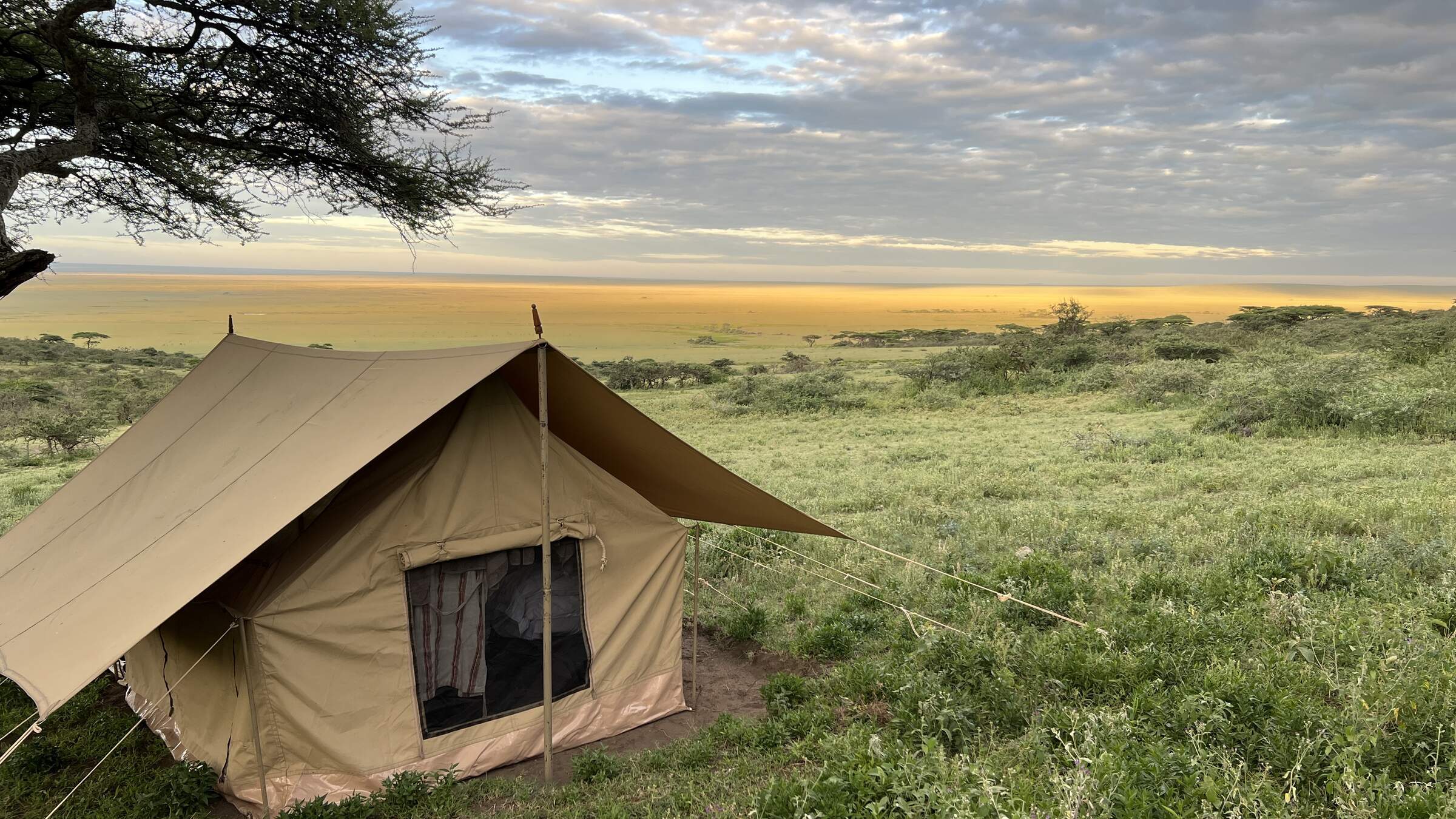
Nomad Walking Camp
Nomad Expeditionary Walking Camp is a simple camp of up to three tents, plus infrastructure, that changes location to allow guests to do substantial walks between campsites.
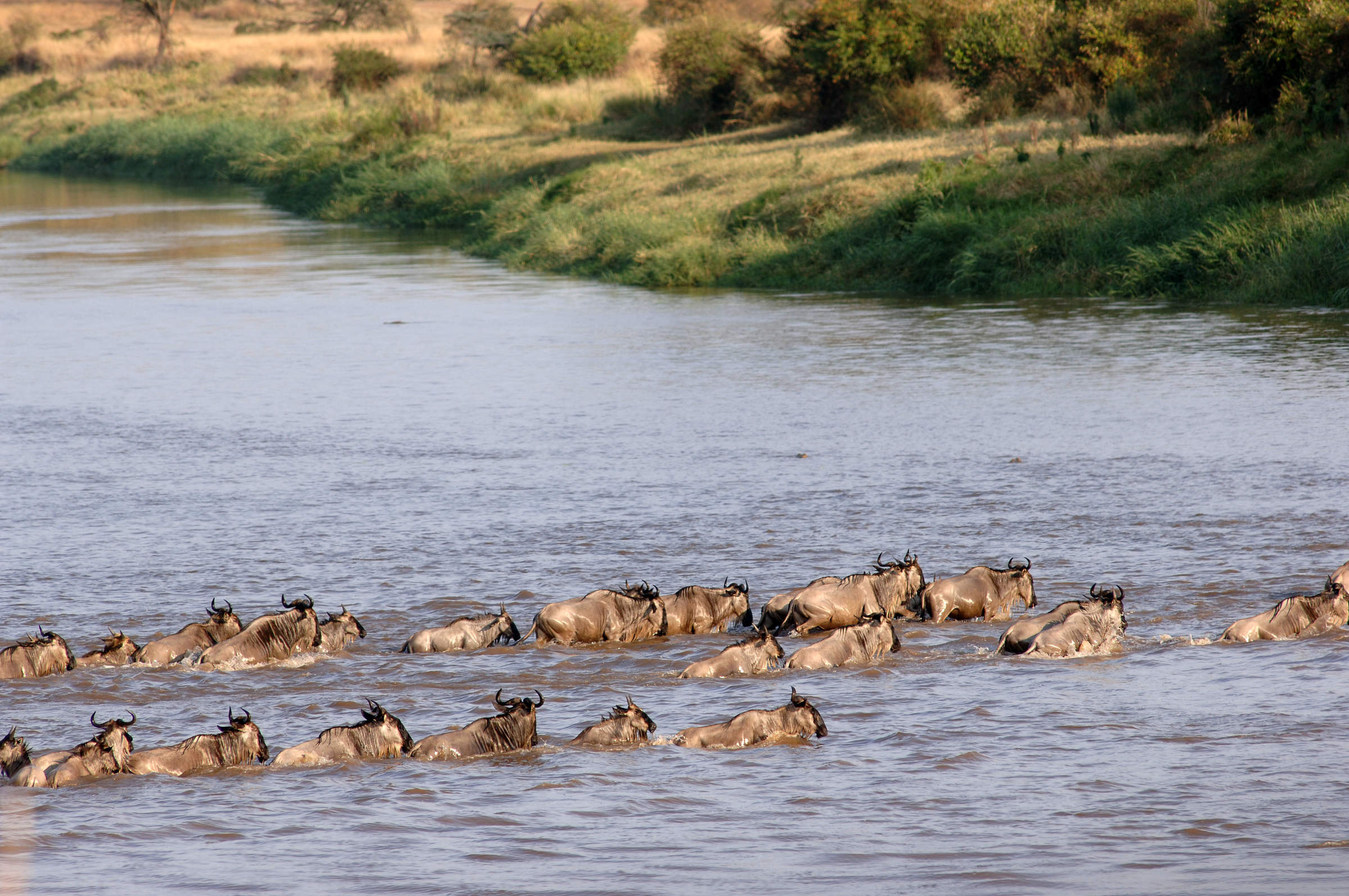
Our travellers’ wildlife sightings in Serengeti
This is their success for sightings in Serengeti Migration Area. Click on a species for more detail. How we work this out.

98% success

97% success

97% success

95% success

93% success

90% success

88% success

81% success

74% success

73% success

69% success

26% success

21% success

16% success

16% success

7% success

3% success

1% success