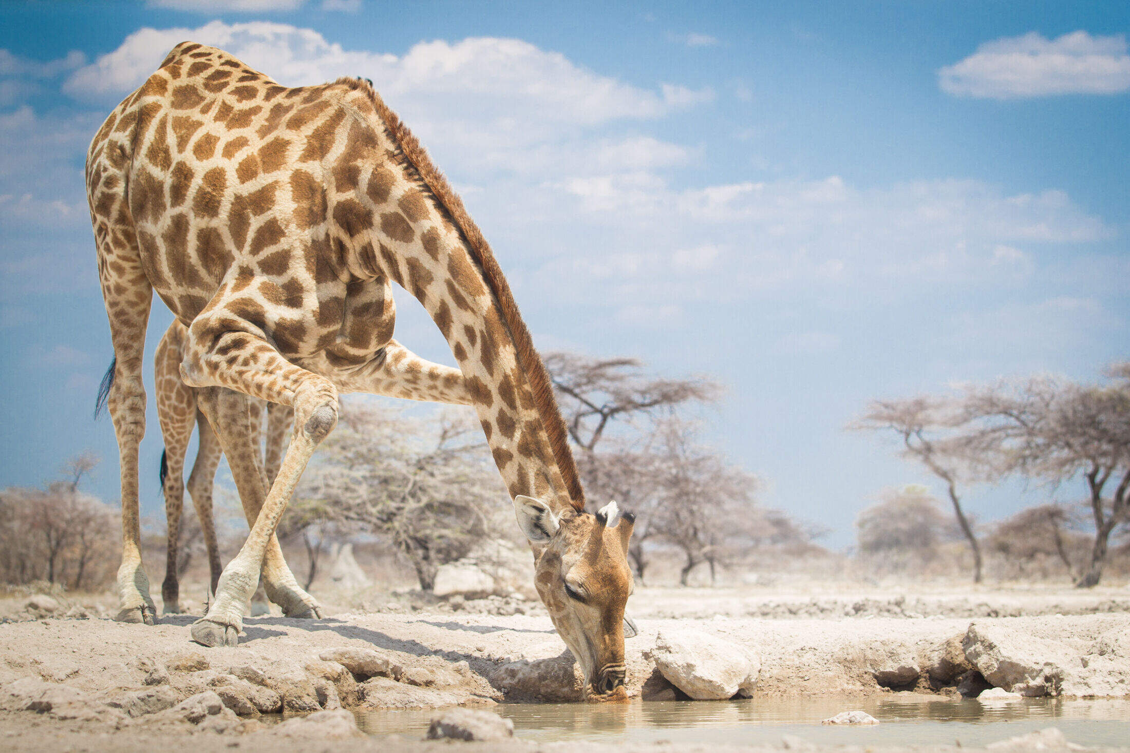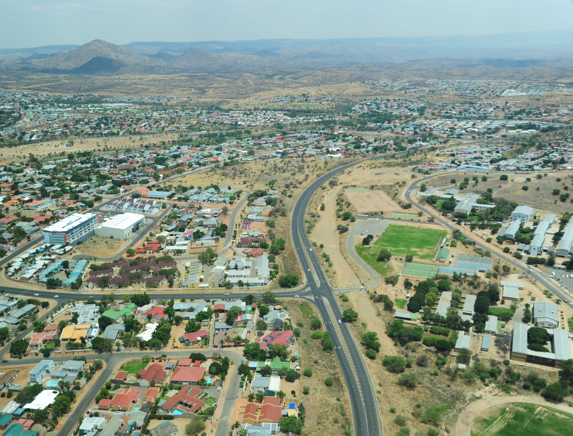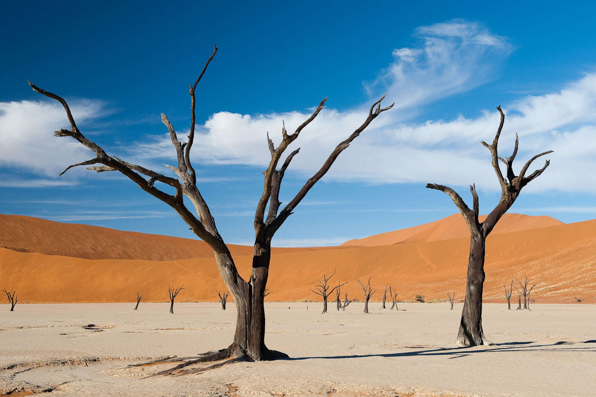
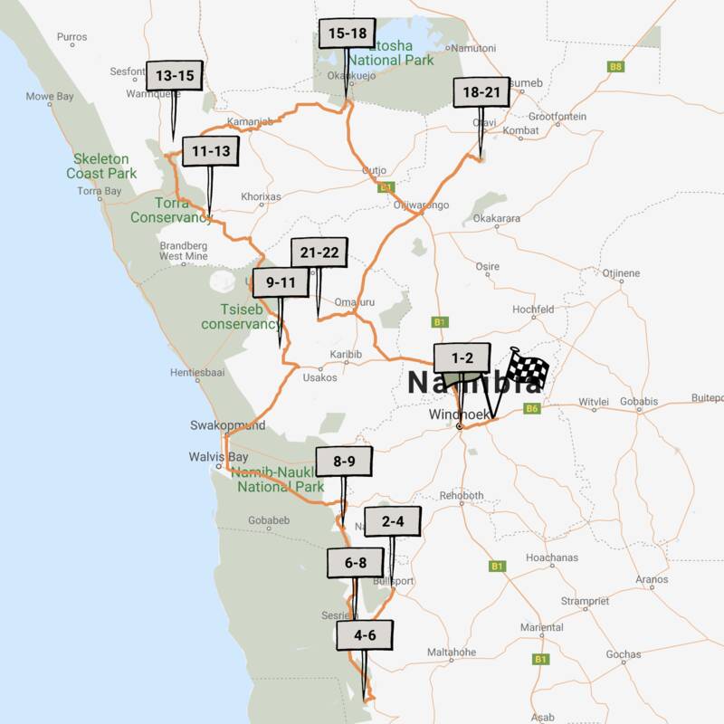
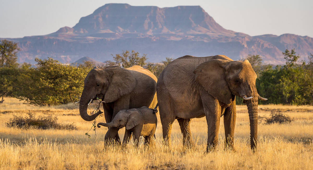
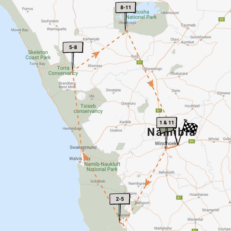
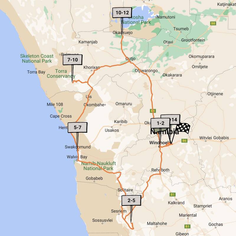
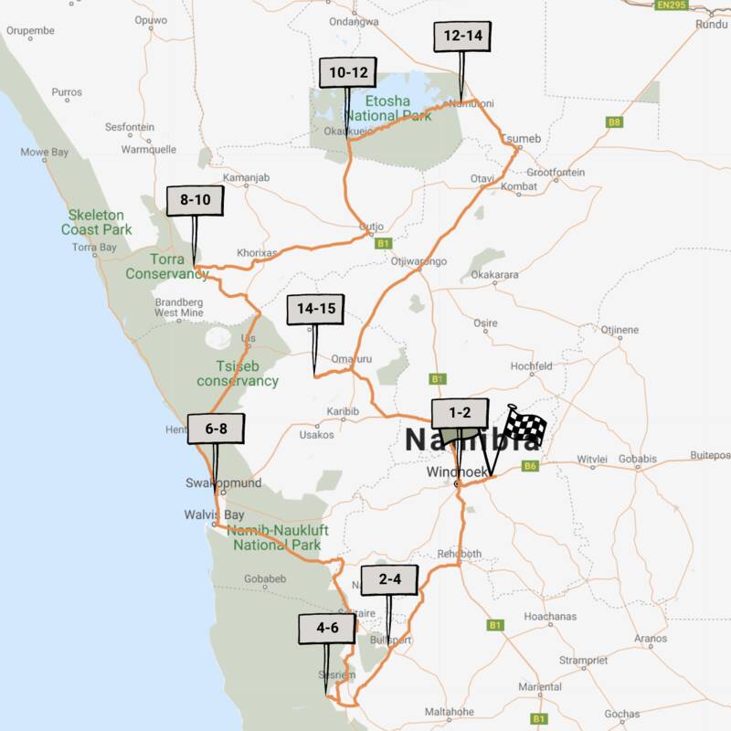
Map of Damaraland
Damaraland reference map

Google map of Damaraland
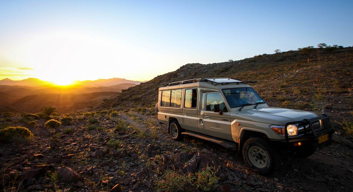
Safaris visiting Damaraland
Just ideas, we'll always tailor-make a trip for you
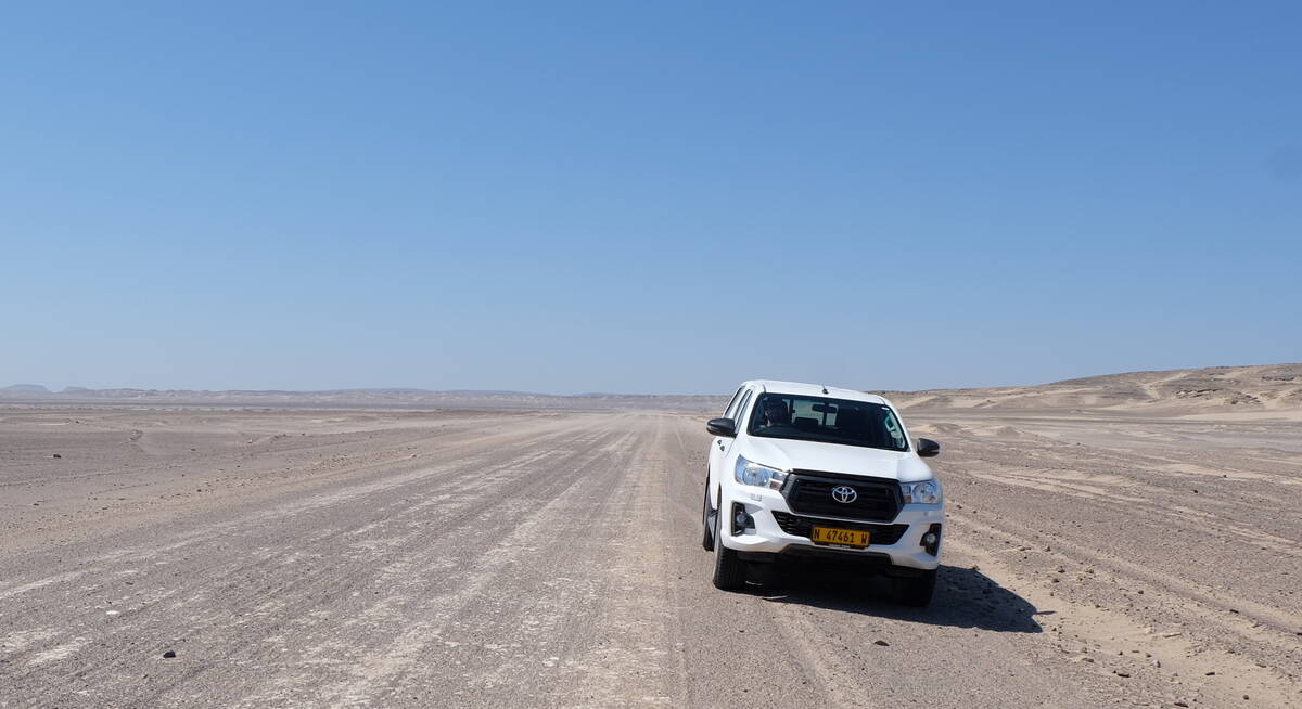
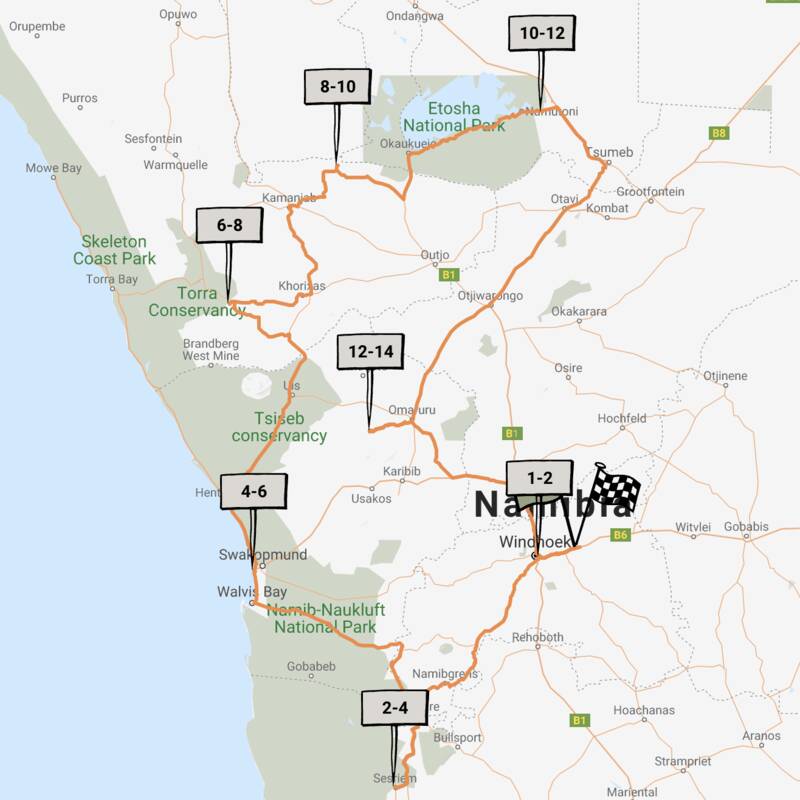
Chongololo Self-drive Safari
21 days • 11 locations • 1 country
WINDHOEK AIRPORT TO WINDHOEK AIRPORT
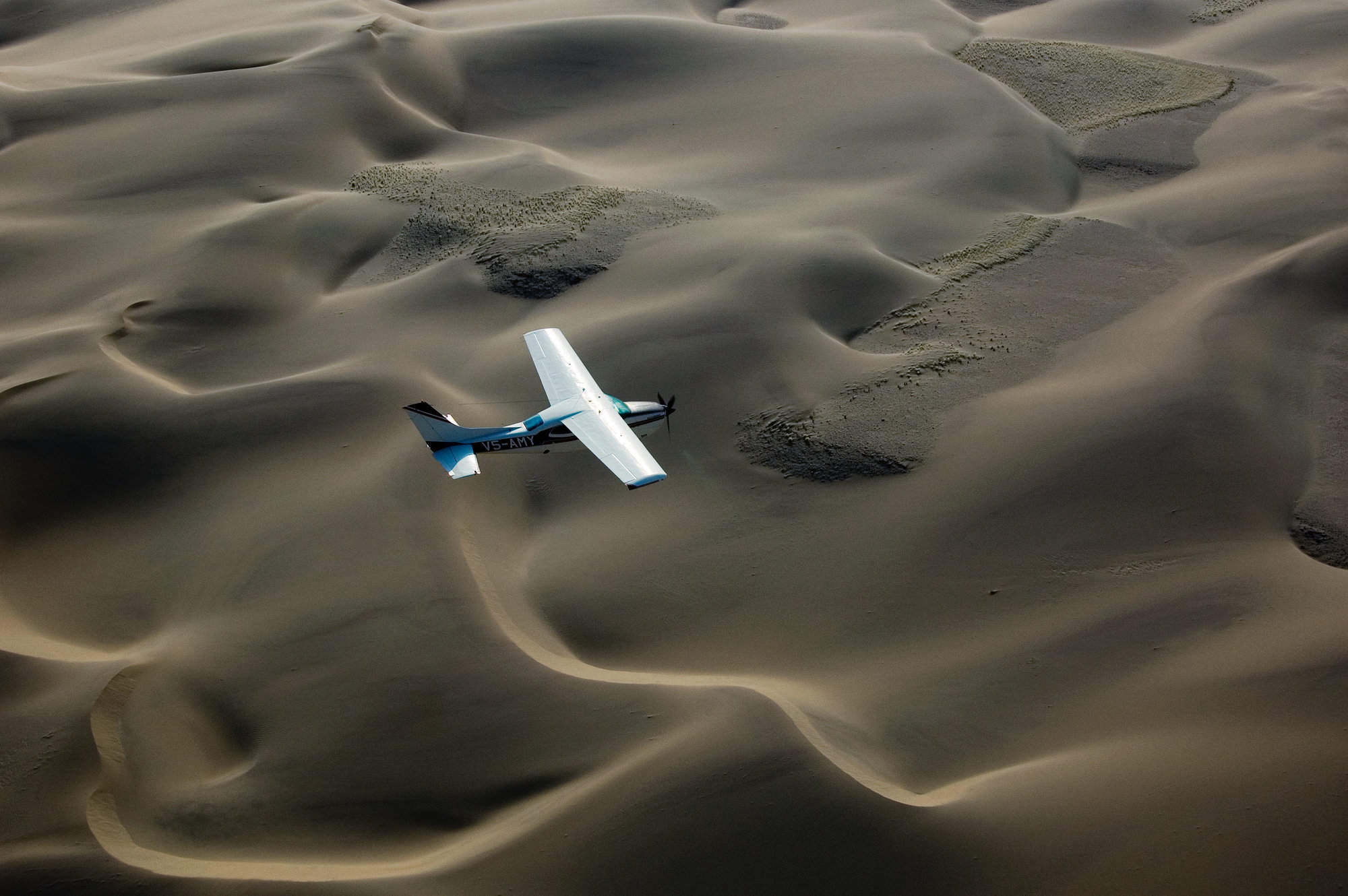
This self-drive safari focuses on the best walking experiences in Namibia. Get your boots ready for the apricot dunes of the Namib Desert and the ancient hills of Damaraland.
Visiting Central Highlands, Namib-Naukluft and 4 other areas
US$7,260 - US$9,770 per person

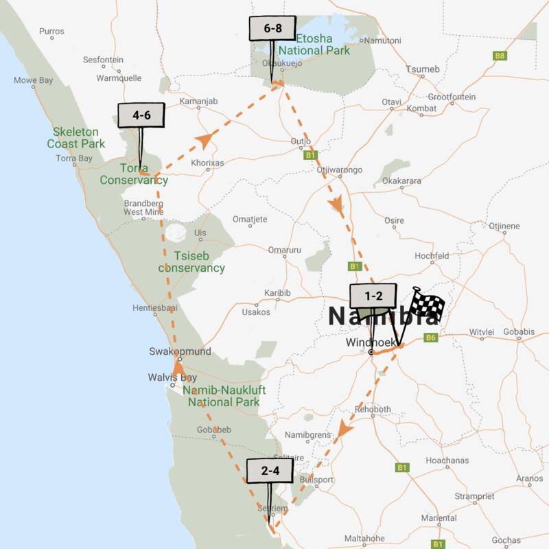
Hartebeest Self-drive Safari
16 days • 8 locations • 1 country
WINDHOEK AIRPORT TO WINDHOEK AIRPORT
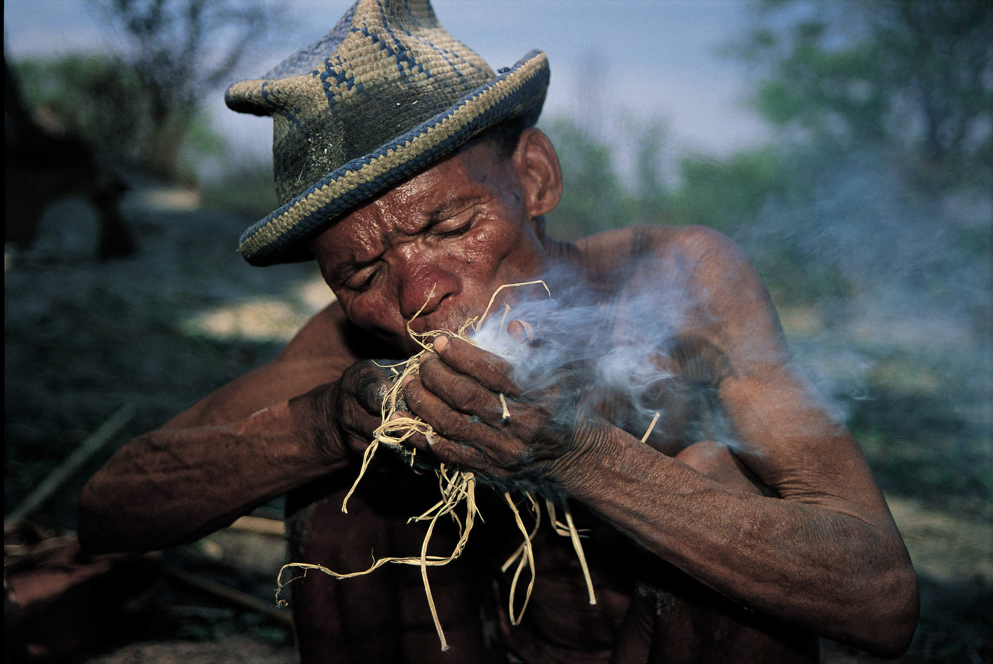
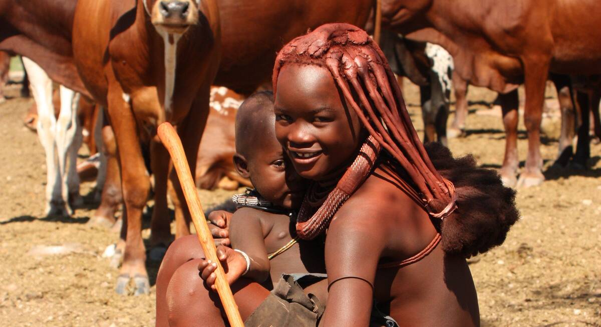
This self-drive safari focuses on the best cultural experiences in Namibia. Visit a Himba village and enjoy three days living with the San Bushmen interspersed with some excellent wildlife watching.
Visiting Bushmanland, Central Highlands and 3 other areas
US$3,470 - US$4,260 per person
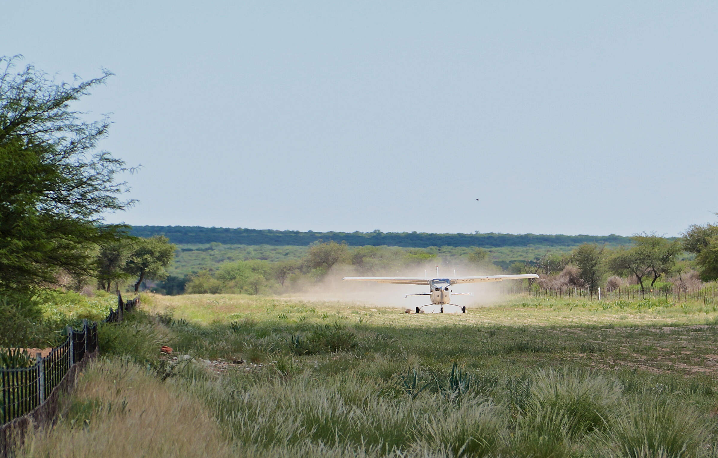
Hoopoe Fly-in Safari
11 days • 4 locations • 1 country
WINDHOEK AIRPORT TO WINDHOEK AIRPORT
This relaxed fly-in safari reveals Namibia at its best. Generous timings and a wide choice of activities help travellers to enjoy the best of the country’s most spectacular areas.
Visiting Windhoek, Namib-Naukluft and 2 other areas
US$6,050 - US$9,070 per person

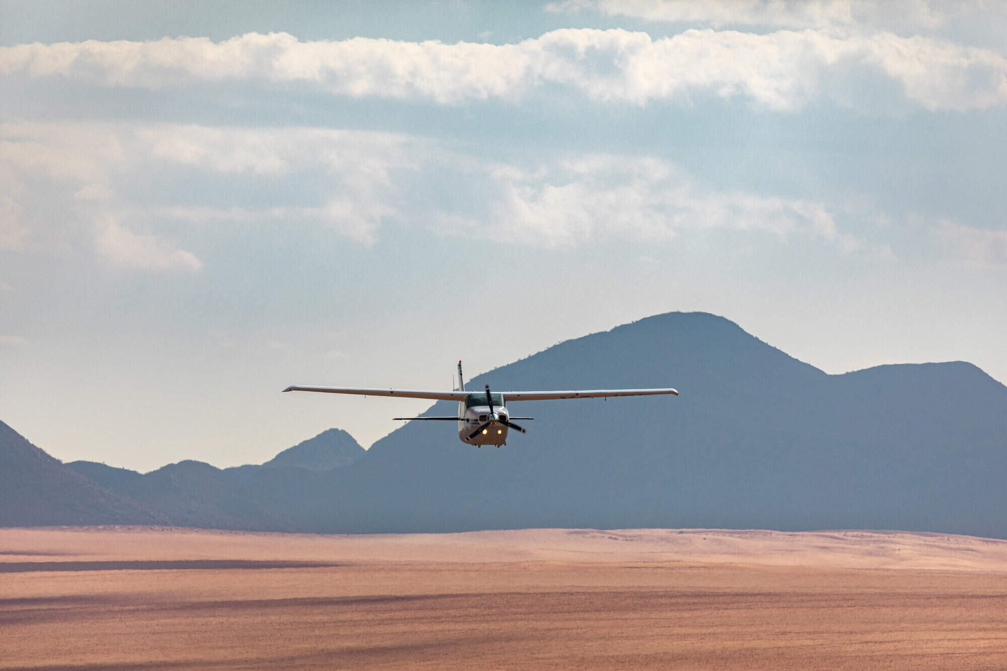
Dune Lark Fly & Drive Safari
14 days • 8 locations • 1 country
WINDHOEK AIRPORT TO WINDHOEK AIRPORT
A combination fly-in self-drive exploration of Namibia, with quick, easy and scenic flights in and out of Sossusvlei before a classic road trip adventure of the country’s rugged north.
Visiting Okonjima, Namib-Naukluft and 4 other areas
US$4,470 - US$5,740 per person
Black-faced Impala Guided Safari
13 days • 6 locations • 1 country
WINDHOEK AIRPORT TO WINDHOEK AIRPORT
A unique mix of luxury and adventure in our original, and perhaps most varied, destination on a privately guided Namibian overland safari. Perfect for families, friends or couples travelling together.
Visiting Windhoek, Namib-Naukluft and 3 other areas
US$4,820 - US$6,340 per person
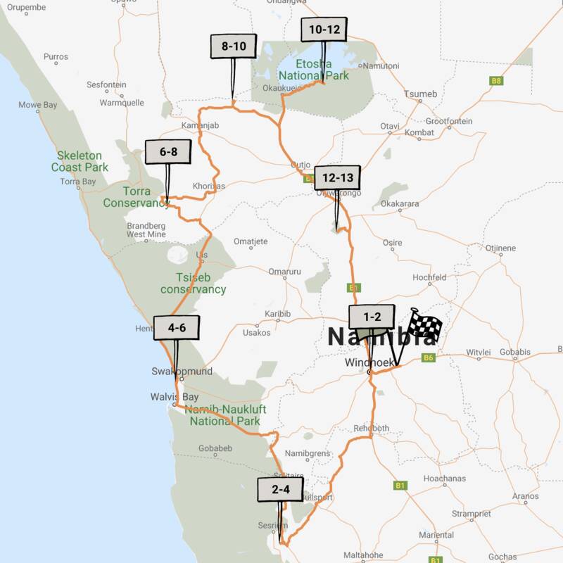
Caracal Self-drive Safari
14 days • 8 locations • 1 country
WINDHOEK AIRPORT TO WINDHOEK AIRPORT
The quintessential Namibian self-drive adventure exploring the highlights from Sossusvlei and the Namib Desert to Damaraland’s wilderness and a safari in Etosha. A great mix of accommodation and excellent value.
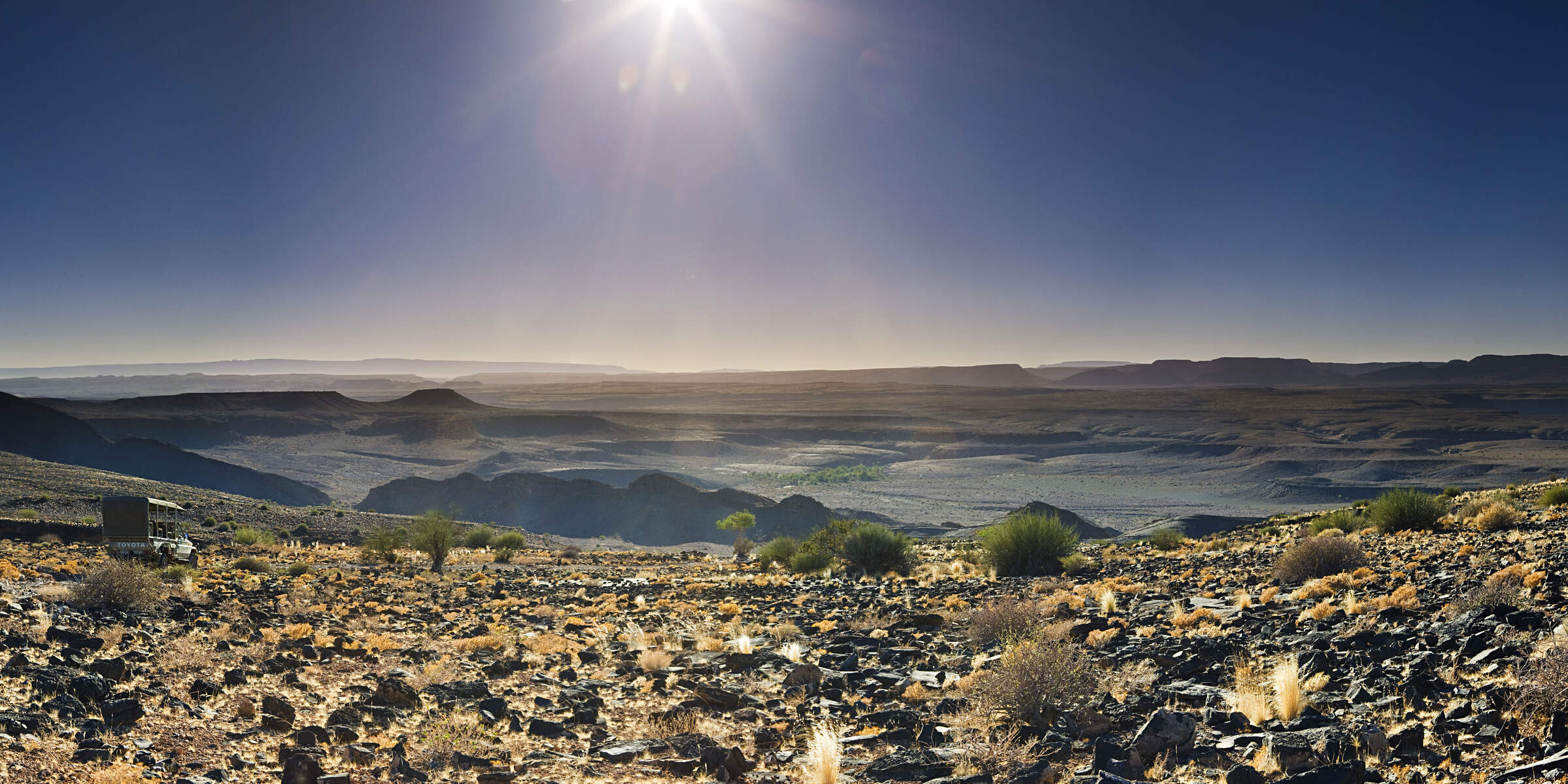
Visiting Namib-Naukluft, Damaraland and 4 other areas
US$2,660 - US$4,070 per person
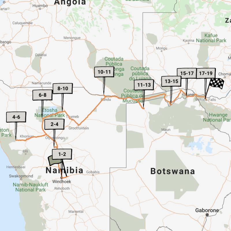
Pygmy Mouse Self-drive Safari
18 days • 10 locations • 3 country
WINDHOEK AIRPORT TO VICTORIA FALLS AIRPORT
A truly epic southern African self-drive safari adventure from Namibia’s mountains and deserts, along the lush Caprivi Strip to Botswana and Victoria Falls in Zimbabwe, staying at luxury lodges throughout.
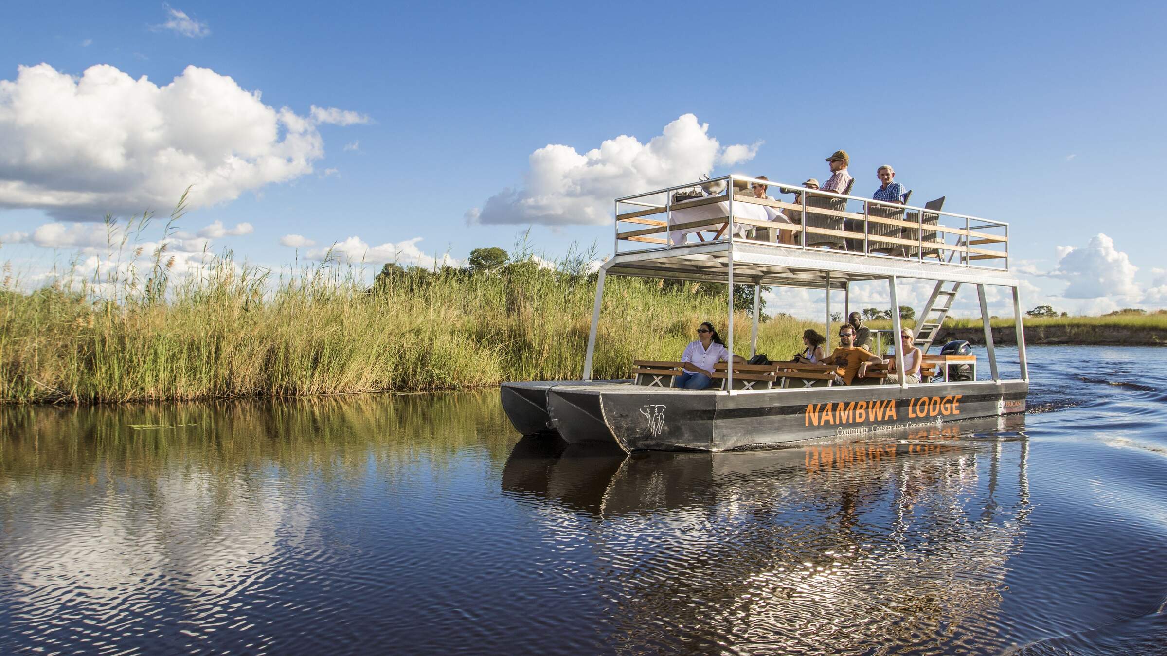
Visiting Etosha, Victoria Falls and 6 other areas
US$6,120 - US$10,340 per person
Bateleur Fly-in Safari
7 days • 4 locations • 1 country
WINDHOEK AIRPORT TO WINDHOEK AIRPORT
Classic fly-in Namibian safari staying at excellent camps. Explore Sossusvlei’s dunes and track Damaraland’s desert elephants before a safari in Etosha. Incredible scenery, good wildlife viewing and authentic cultural experiences.
Visiting Namib-Naukluft, Damaraland and 2 other areas
US$5,740 - US$9,070 per person
Cape Fox Guided Safari
13 days • 7 locations • 1 country
WINDHOEK AIRPORT TO WINDHOEK AIRPORT
A classic clockwise circuit around Namibia’s northern highlights with a private guide and vehicle. We can’t think of a better way to see more in this timeframe.
Visiting Windhoek, Namib-Naukluft and 4 other areas
US$8,280 - US$10,550 per person
Namaqua Chameleon Self-drive
12 days • 7 locations • 1 country
WINDHOEK AIRPORT TO WINDHOEK AIRPORT
A classic 12-night self-drive adventure around the highlights of eastern and northern Namibia taking in Sossusvlei, Swakopmund, Damaraland, Etosha and a final stop at Okonjima. Comfortable lodges and great value.
Visiting Okonjima, Etosha and 4 other areas
US$2,830 - US$4,520 per person

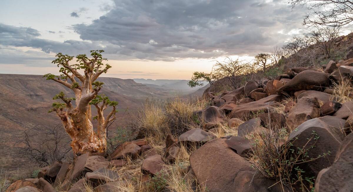
Where to stay in Damaraland
Our suggestions for safari camps in Damaraland

Doro Nawas
Comfortable rooms and a convenient location make the community run Doro Nawas a great base for exploring Damaraland.

Mowani Mountain Camp
Mowani is a beautiful and stylish mountain retreat in southern Damaraland; it makes a great base for visits toTwyfelfontein.

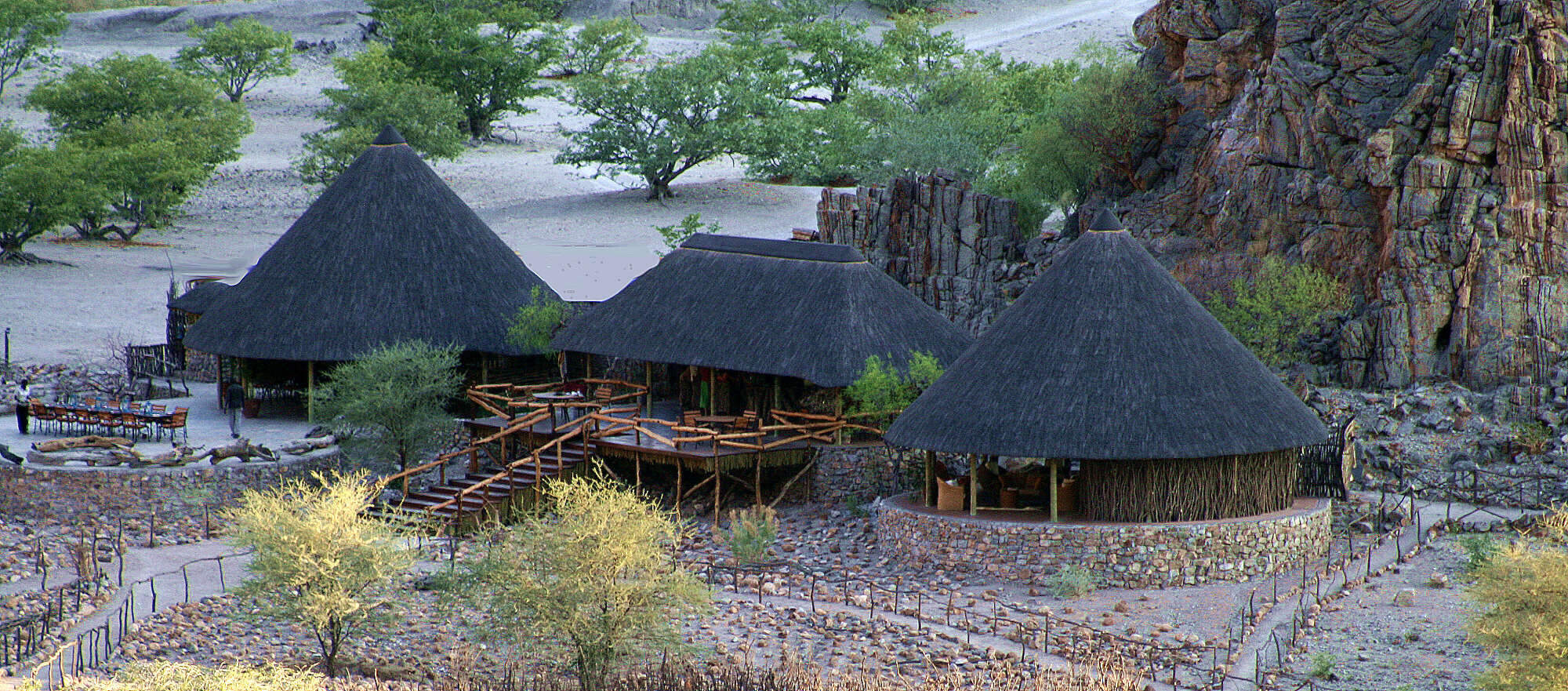
Damaraland Camp
Setting the standard for community partnerships, Damaraland Camp offers a beautiful location, a range of activities – and a genuine welcome.

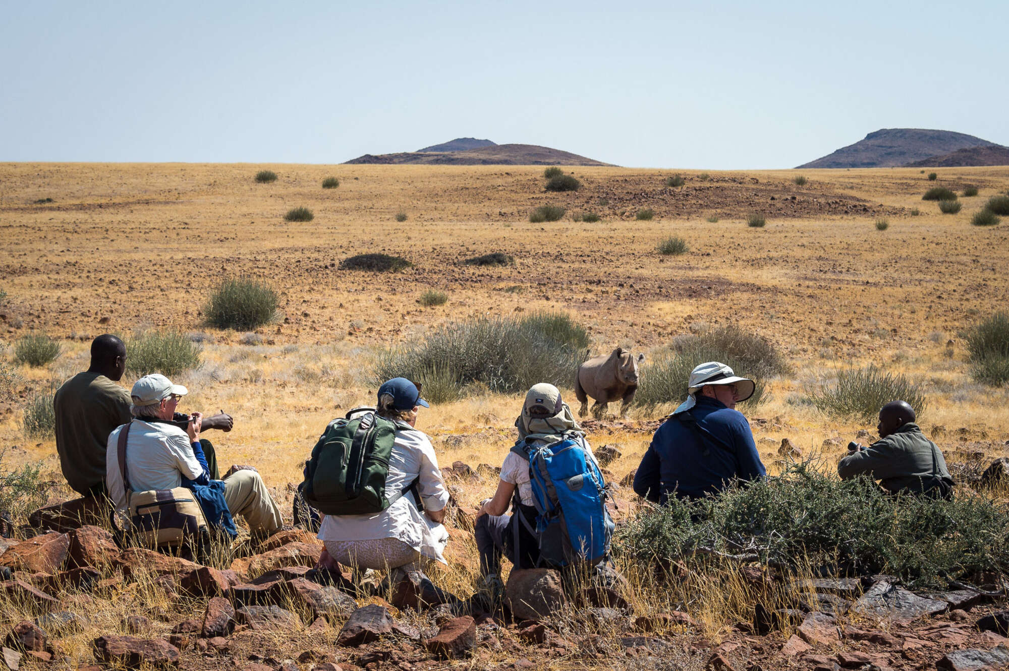
Desert Rhino Camp
Desert Rhino Camp offers a rare opportunity to track black rhino on foot in one of the last true wilderness areas – an amazing experience.

Camp Kipwe
With unusual, igloo-like rooms, open-air bathrooms and beautiful scenery, Camp Kipwe is well placed for nature and cultural excursions.

Etendeka Camp
Etendeka is an owner-run camp in the remote and less visited north of Damaraland. The camp is renowned for it's spectacular guided walking trails.

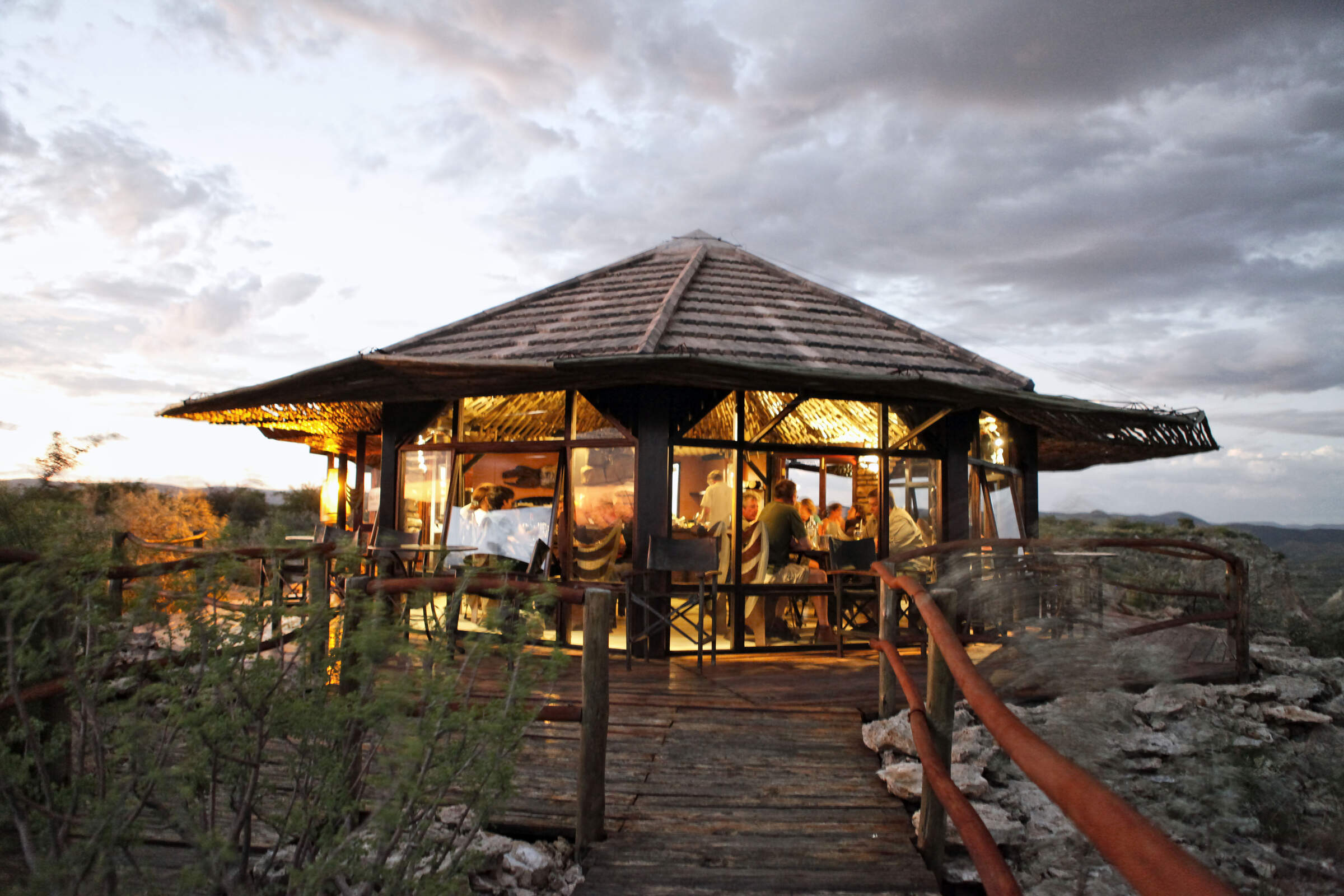
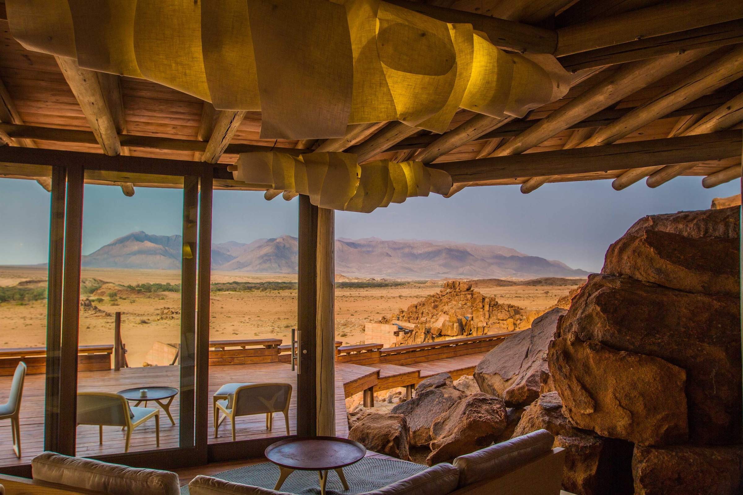
Grootberg Lodge
On the edge of an ancient plateau Grootberg Lodge has a stunning location and arguably the best views of any lodge in Namibia.

Twyfelfontein C'try Lod.
A large lodge set among the rocks, Twyfelfontein Country Lodge is a convenient base for visiting the rock engravings, which are only 4km away.

Spitzkoppen Lodge
Spitzkoppen Lodge provides stylish accommodation in an area of scenic grandeur with guided access to sites of ancient Bushman rock art.

Palmwag Lodge
Palmwag Lodge has a great location by a spring in the Uniab River and offers access to an area where you can see a variety of desert-dwelling animals.

Huab Lodge
Huab is a classic little Namibian Lodge which is slightly off the beaten track in a lesser visited part of Damaraland.
Brandberg White Lady
Brandberg White Lady Lodge, nestled at the foot of its namesake, makes a good base from which to visit bushman rock paintings including the 'White Lady'.
Vingerklip Lodge
Vingerklip Lodge occupies a lovely location, but is a little too far east for guests to visit Damaraland's main attractions.
Khowarib Lodge
Khowarib Lodge has a great location overlooking the Hoanib River. This is one of the few places to offer authentic Himba village visits.
Malansrus Camp
Within easy reach of Twyfelfontein, Malansrus offers a simple but comfortable base for visits to the rock engravings or seek out desert-adapted elephants.

White Lady B & B
White Lady B&B, a small, comfortable guesthouse, offers a stepping stone to the sites of southern Damaraland.

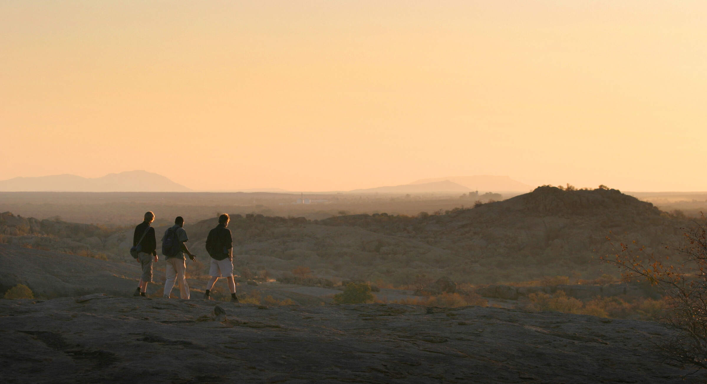
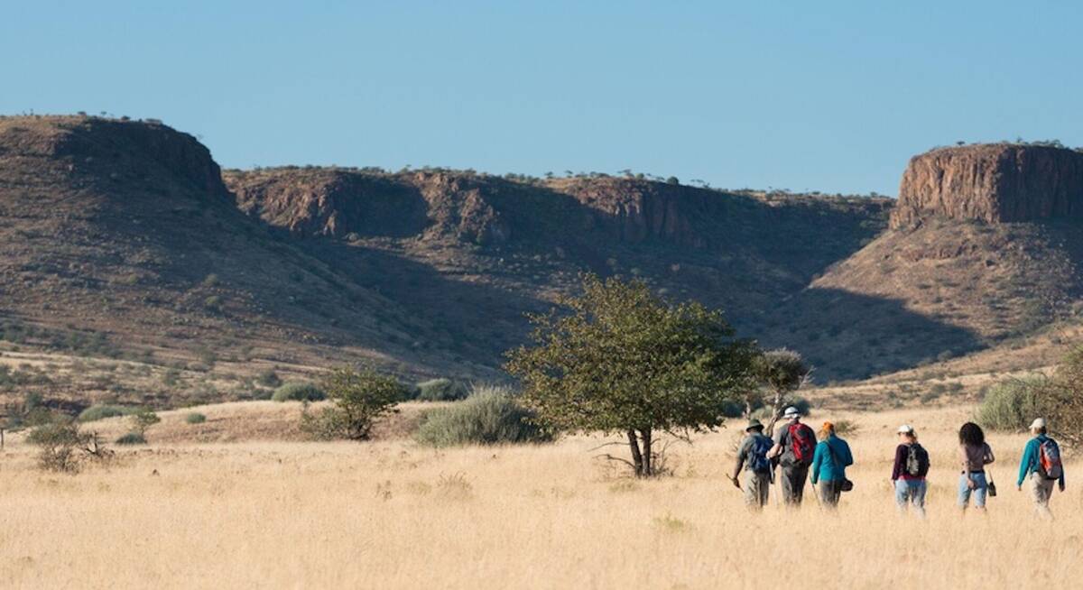
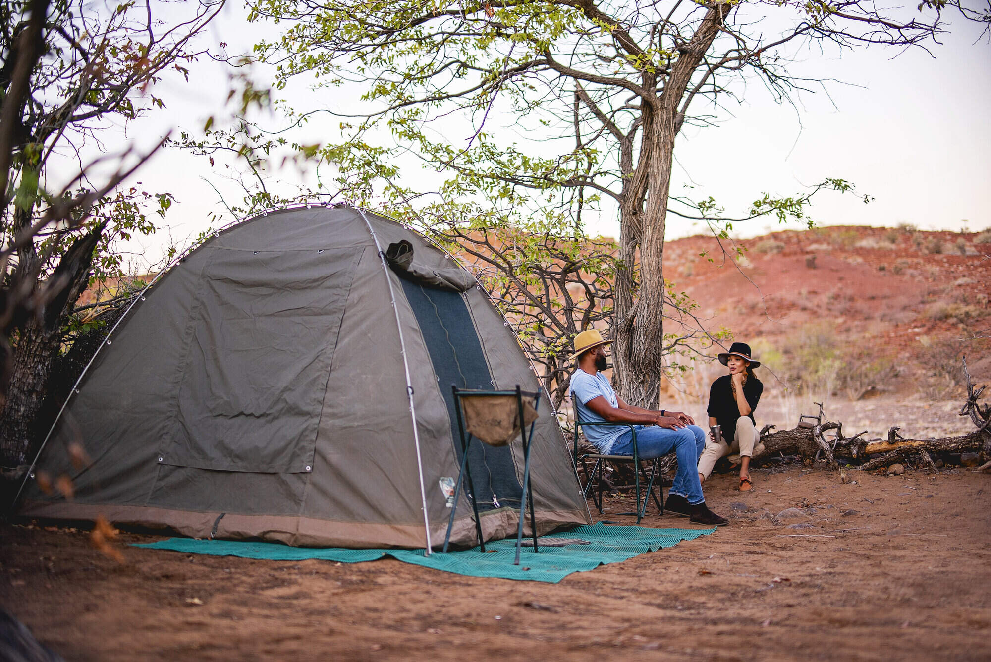
Etendeka Walking Trail
The Etendeka Walking Trail promises to offer a back-to-basics walking and camping experience in one of Namibia's most remote and untouched wilderness areas.

Brandberg Restcamp
Brandberg Restcamp is a simple, no-frills place, close to many attractions, offering sundowner drives, guided hikes up the Brandberg and game drives .

Onduli Ridge
Onduli Ridge is a luxurious, low-impact luxury camp offering top-notch guiding in a remote wilderness area of Damaraland.

Ugab Terrace Lodge
Ugab Terrace Lodge is a comfortable stopover between Damaraland and Etosha National Park or Namibia’s Central Highlands.
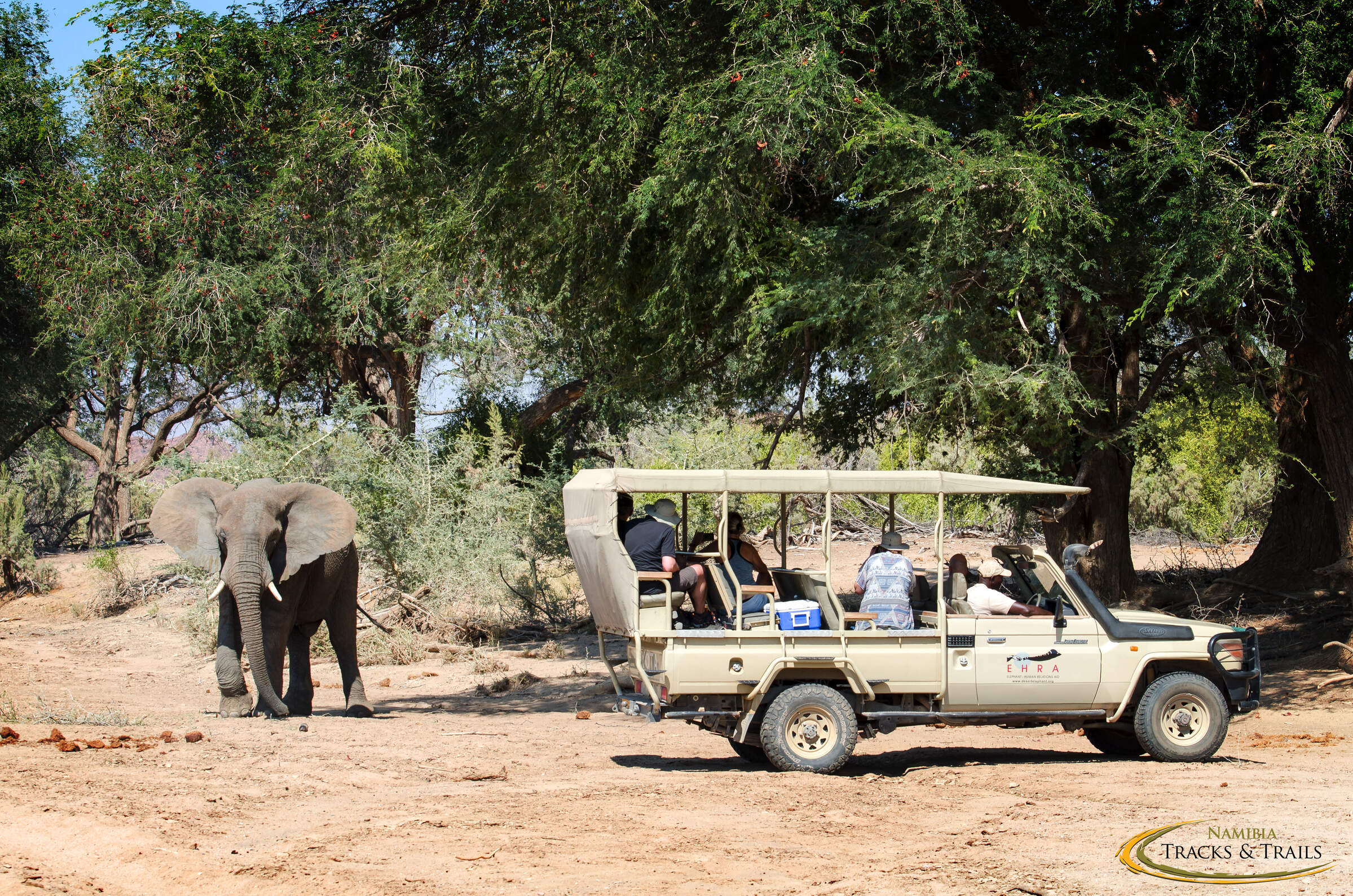
Ozondjou Trails
The simple Ozondjou Trails gives a unique perspective on living with Damaraland’s desert-adapted elephants and how tourism is key to protecting them and the livelihood of the people.

Damara Mopane Lodge
Damara Mopane Lodge is a large 60 room lodge surrounded by beautiful gardens. It can be used as a comfortable stopover between Etosha and the Skeleton Coast

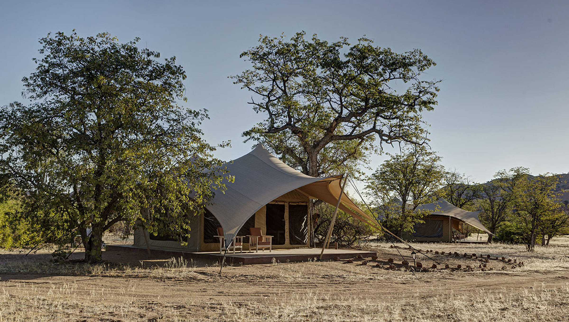
Huab Under Canvas
Huab under Canvas is a no thrills bush camp offering top notch guiding in a remote wilderness area of Damaraland.
Palmwag Sleep-out
Palmwag Sleep-out is a simple camping experience and a great way to enjoy the remote beauty of the vast Palmwag Concession

Camp Doros
Small, intimate and with excellent eco-credentials, Camp Doros is set above an ephemeral river within a remote community concession of Damaraland.
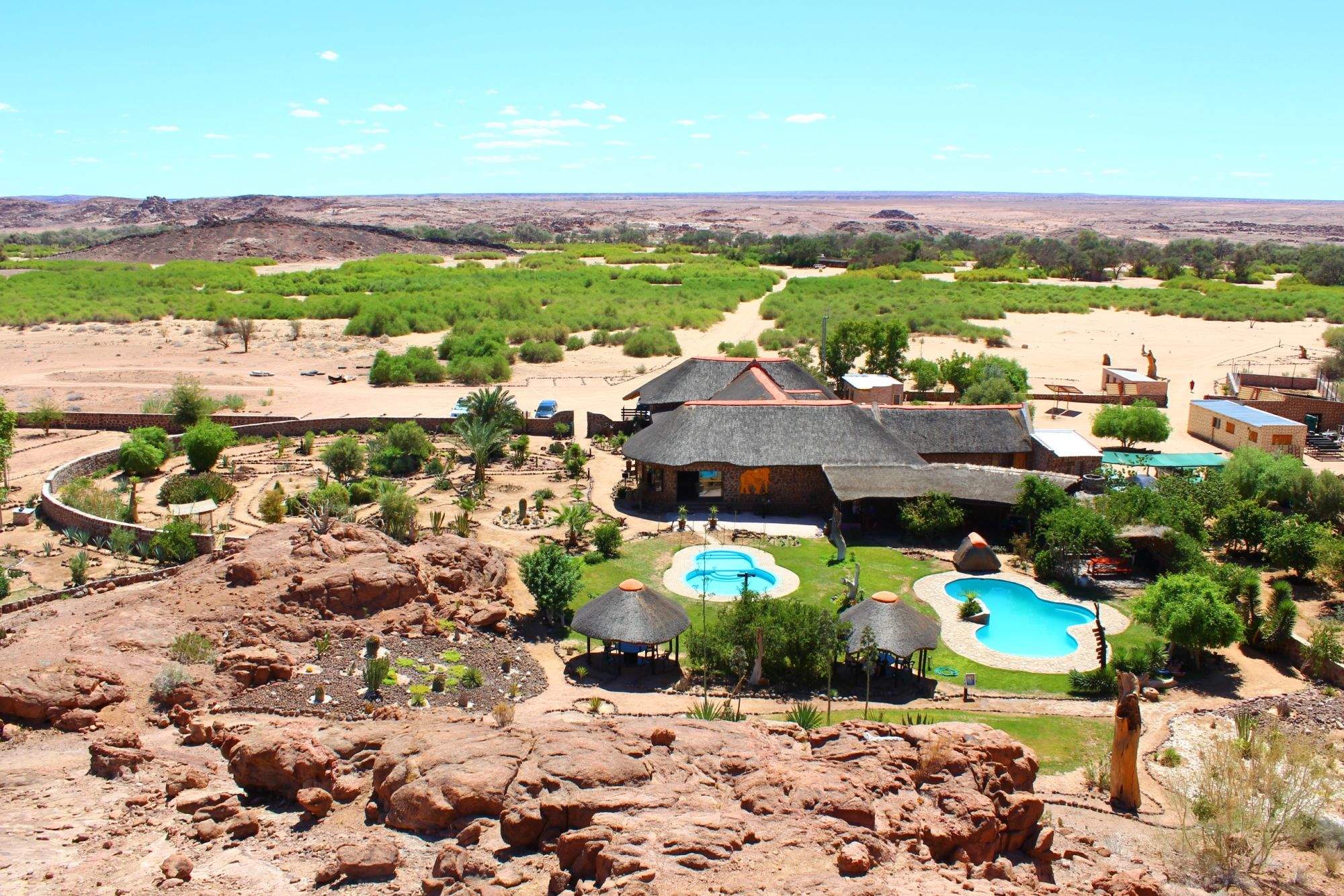
Sorris Sorris Lodge
Overlooking the Brandberg Massif, Sorris Sorris is probably the most luxurious lodge in southern Damaraland.
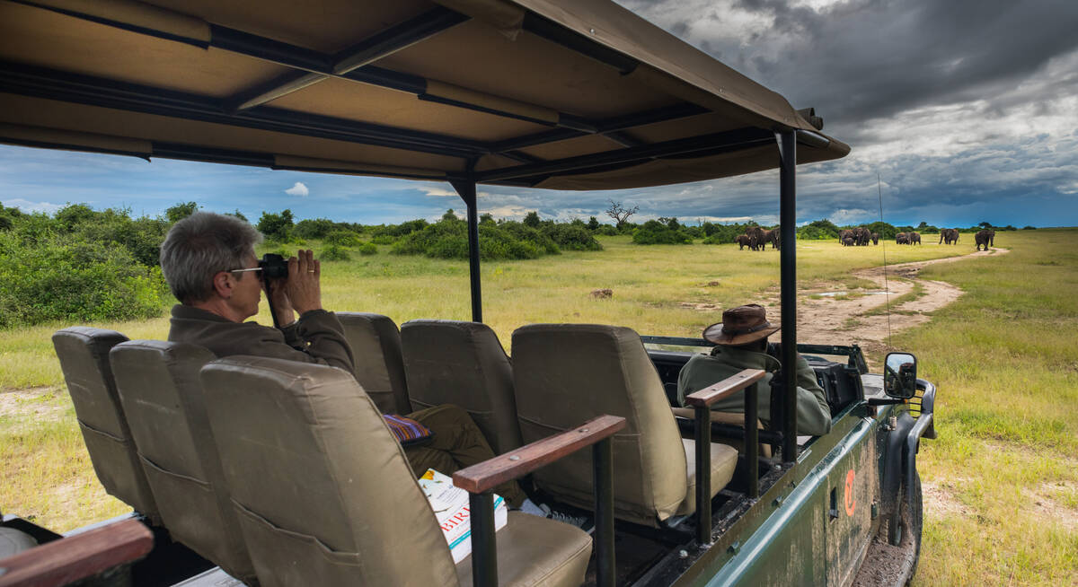
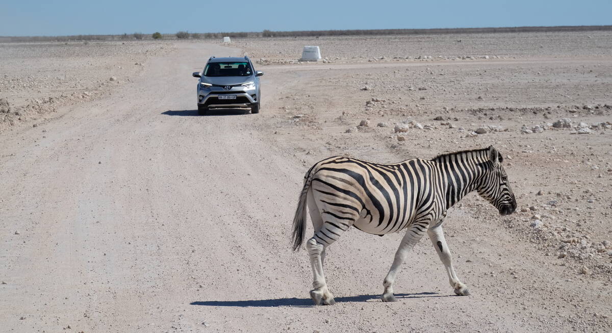
Our travellers’ wildlife sightings in Damaraland
This is their success for sightings in Damaraland.
Click on a species for more detail. How we work this out.

72% success

59% success

57% success

40% success

30% success

22% success

9% success

6% success

6% success

5% success

2% success

1% success