Map of Maasai Mara National Reserve
Maasai Mara National Reserve reference map
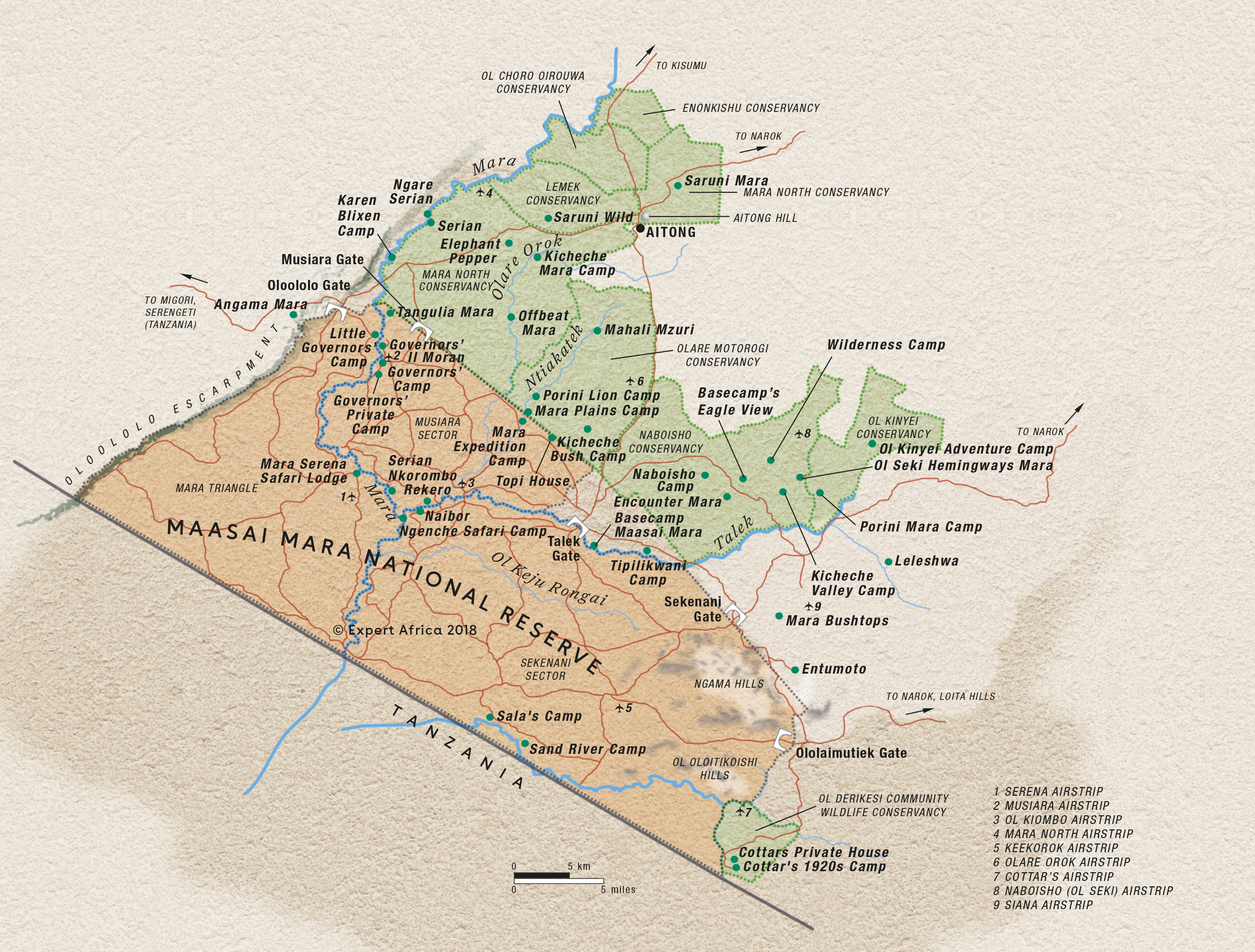
Google map of Maasai Mara
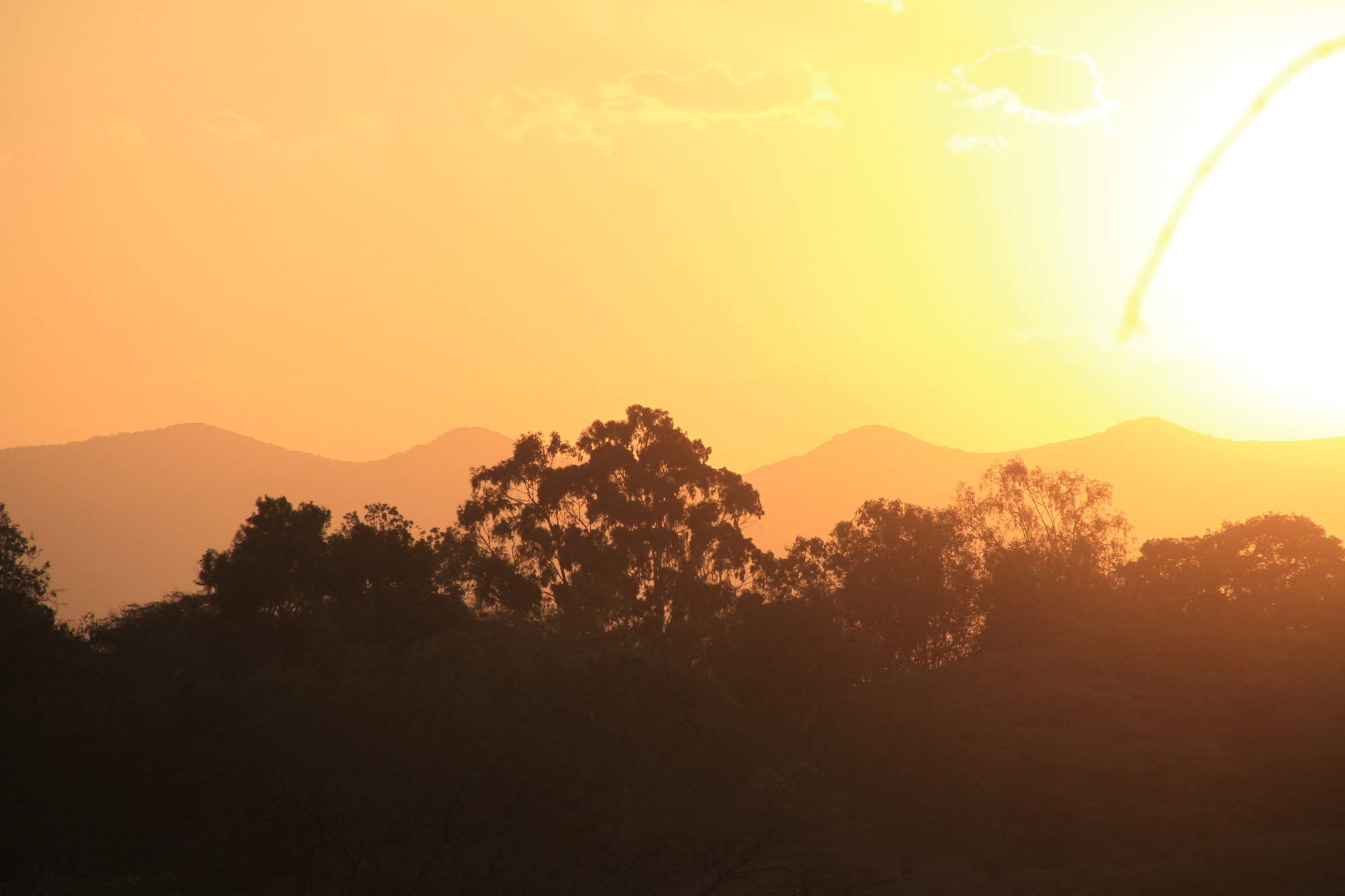
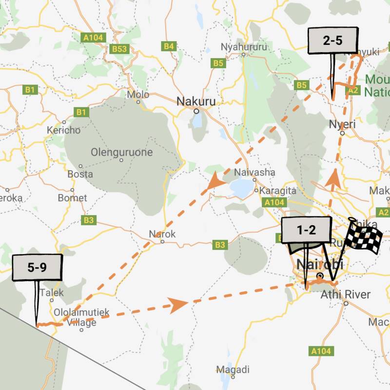
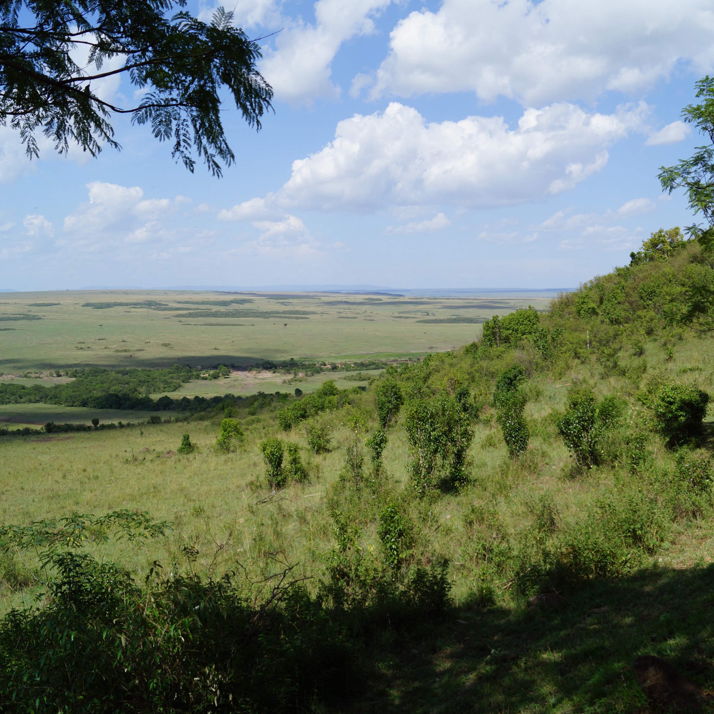
This map/satellite image shows the whole Maasai Mara region. The map is centered over the small settlement of Talek, with the densely wooded Mara River curving south to the west, the Oloololo Escarpment in the far west and the Tanzanian border the diagnonal line to the south.
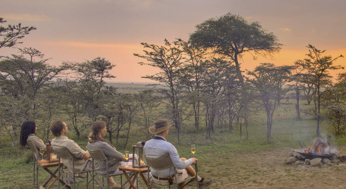
Safaris visiting Maasai Mara
Just ideas, we'll always tailor-make a trip for you
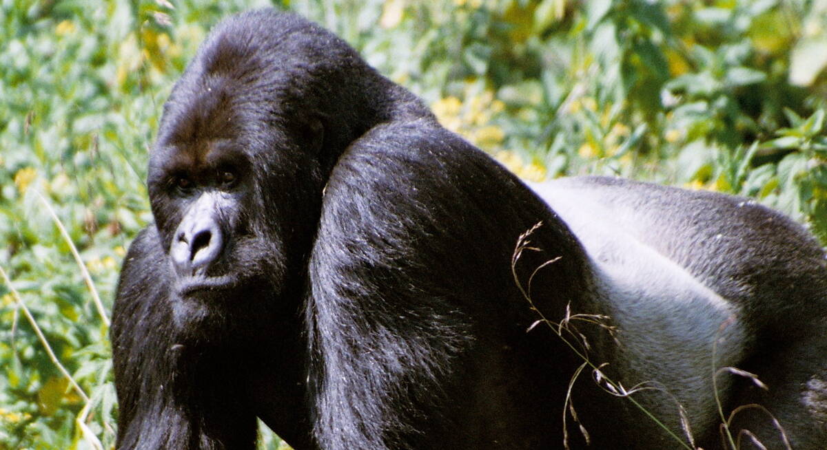
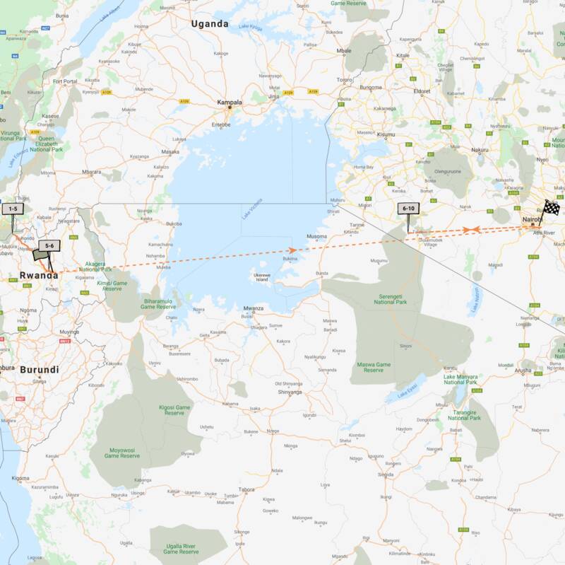
Gorillas and Maasai Mara Safari
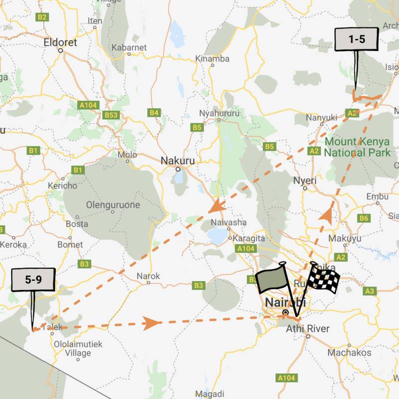
9 days • 3 locations • 2 country
KIGALI AIRPORT TO NAIROBI AIRPORT
This trip combines two of Africa's most unforgettable wildlife experiences – Rwanda's mountain gorillas and Kenya's Maasai Mara.
Visiting Kigali, Volcanoes and 1 other area
US$11,400 - US$13,520 per person
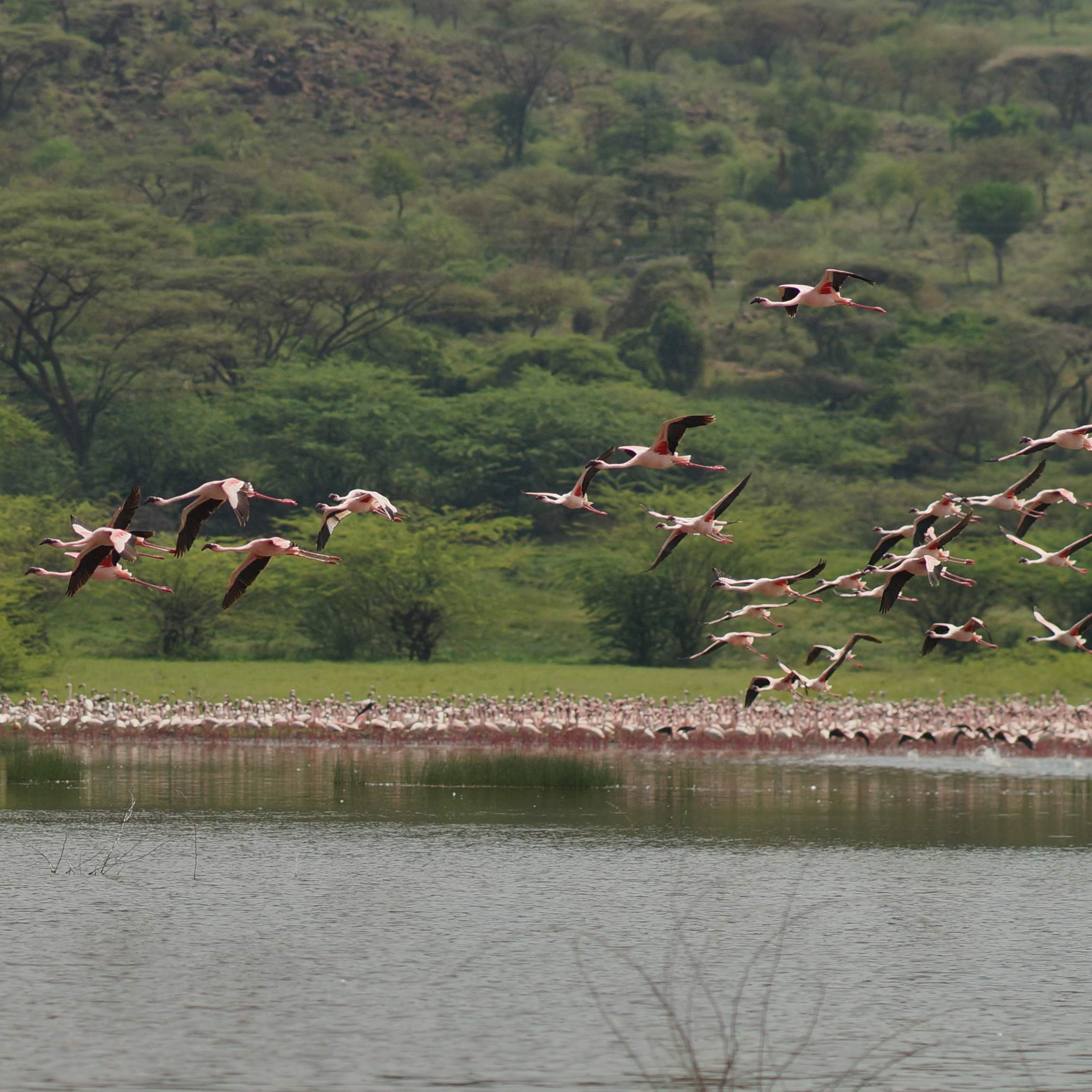
Steppe Eagle Fly-in Safari
7 days • 2 locations • 1 country
NAIROBI AIRPORT TO NAIROBI AIRPORT
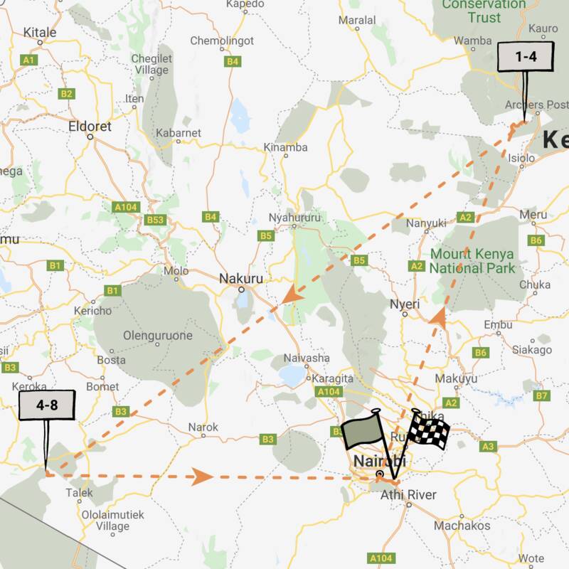
Two comfortable tented camps overlooking the Ewaso Nyiro and Mara River put you at the heart of the action. Experience spectacular diversity in species and habitat with safari in Samburu and the Masaai Mara National Reserve.
Visiting Maasai Mara, Samburu
US$6,920 - US$9,310 per person
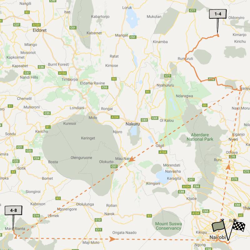
Greater Kudu Fly-In Safari
7 days • 2 locations • 1 country
NAIROBI AIRPORT TO NAIROBI AIRPORT
Experience a truly authentic bush experience on this safari at two classic tented camps, in Laikipia and the Maasai Mara. These are some of the best places to spot wild dogs and big cats.
Visiting Laikipia, Maasai Mara
US$8,130 - US$9,080 per person
Rothschild Giraffe Safari
8 days • 3 locations • 1 country
NAIROBI AIRPORT TO NAIROBI AIRPORT
A example of a luxury Kenyan safari, starting at the iconic Giraffe Manor before fabulous stays on the spectacular Solio Reserve and Sala’s Camp in a remote corner of the Maasai Mara.
Visiting Nairobi, Maasai Mara and 1 other area
US$12,650 - US$17,830 per person

Big Cat Fly-in Safari
8 days • 2 locations • 1 country
NAIROBI AIRPORT TO NAIROBI AIRPORT
Combining two of Kenya’s best wildlife-viewing areas, this slow-paced safari to the Lewa Conservancy and Maasai Mara guarantees iconic wildlife. The long-established, well-rated camps are great value, too.
Visiting Maasai Mara, Laikipia
US$6,940 - US$8,850 per person
Golden Jackal Fly-in Safari
8 days • 2 locations • 1 country
NAIROBI AIRPORT TO NAIROBI AIRPORT
A contrasting safari of a lodge and a tented camp, with action-packed activities in Laikipia and wildlife-filled game drives in the Maasai Mara, offers a consistently high-quality experience.
Visiting Laikipia, Maasai Mara
US$11,200 - US$14,130 per person
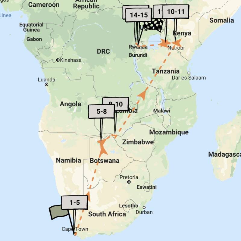
The Highlights of Africa
17 days • 7 locations • 5 country
CAPE TOWN AIRPORT TO KIGALI AIRPORT
An epic adventure taking in some of Africa’s most incredible sights and wildlife experiences, from Cape Town to the Okavango Delta, Victoria Falls, the Maasai Mara and an encounter with mountain gorillas.
Visiting Cape Town, Okavango Delta and 5 other areas
US$16,710 - US$19,880 per person
Martial Eagle Fly-in Safari
9 days • 3 locations • 2 country
NAIROBI AIRPORT TO KILIMANJARO AIRPORT
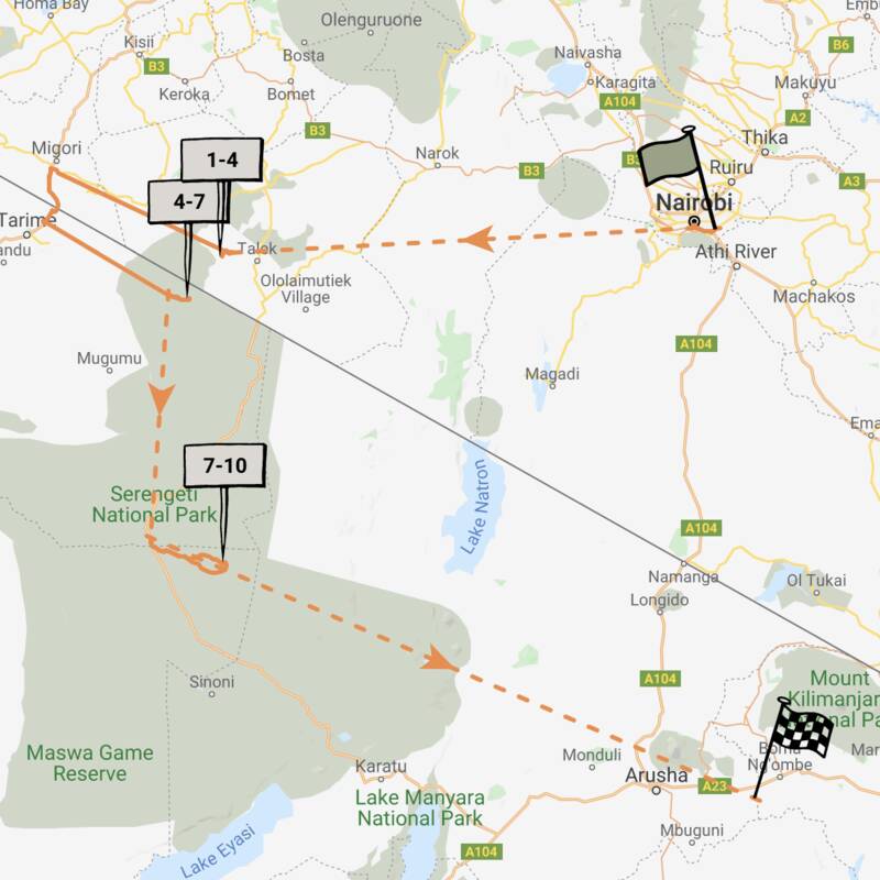
This stylish fly-in safari visits two of Africa’s most iconic parks, the Maasai Mara National Reserve in Kenya and Tanzania's Serengeti National Park.
Visiting Serengeti, Maasai Mara
US$12,720 - US$17,740 per person
De Brazza Monkey Fly-in Safari
9 days • 3 locations • 1 country
NAIROBI AIRPORT TO NAIROBI AIRPORT
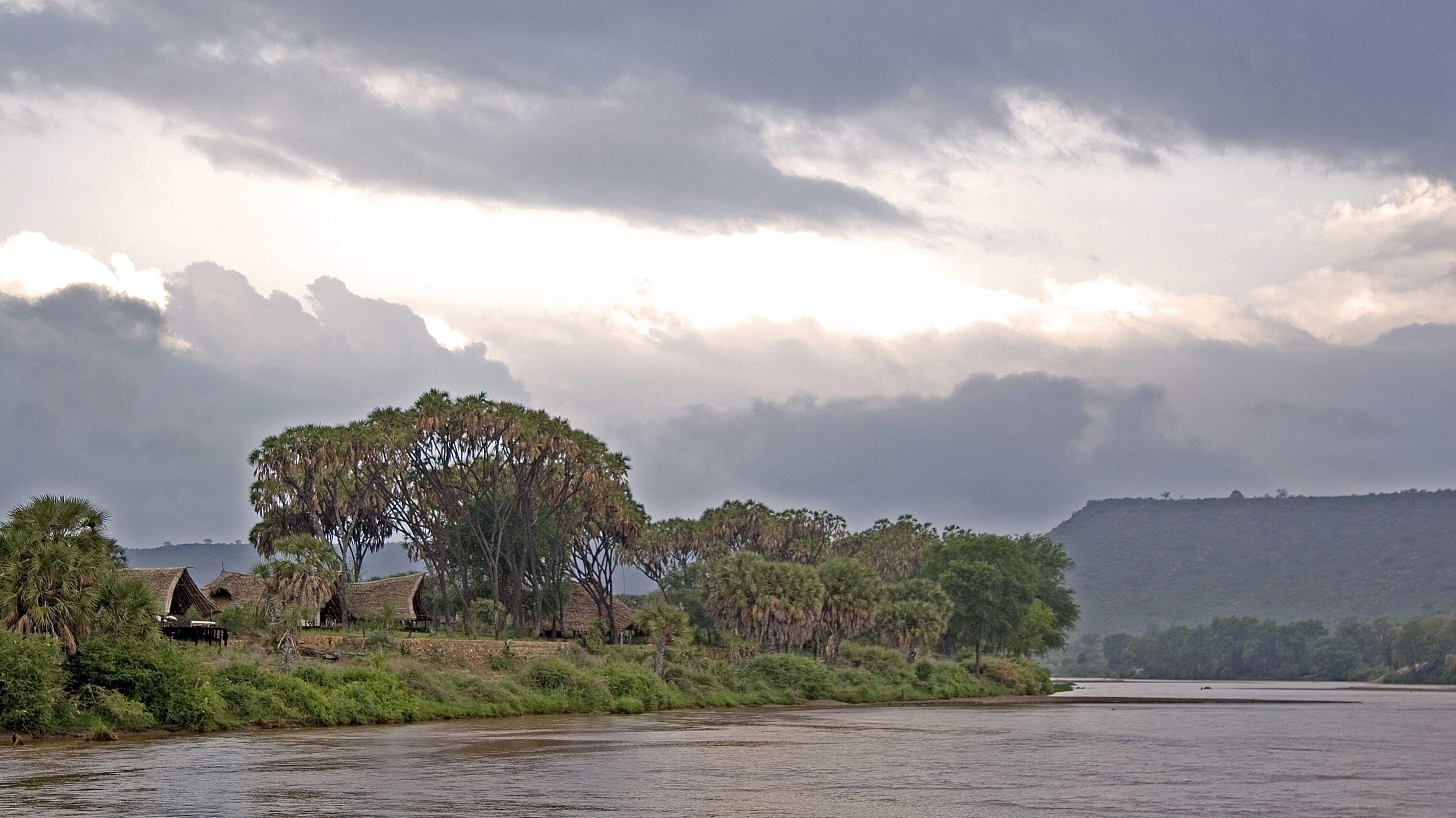
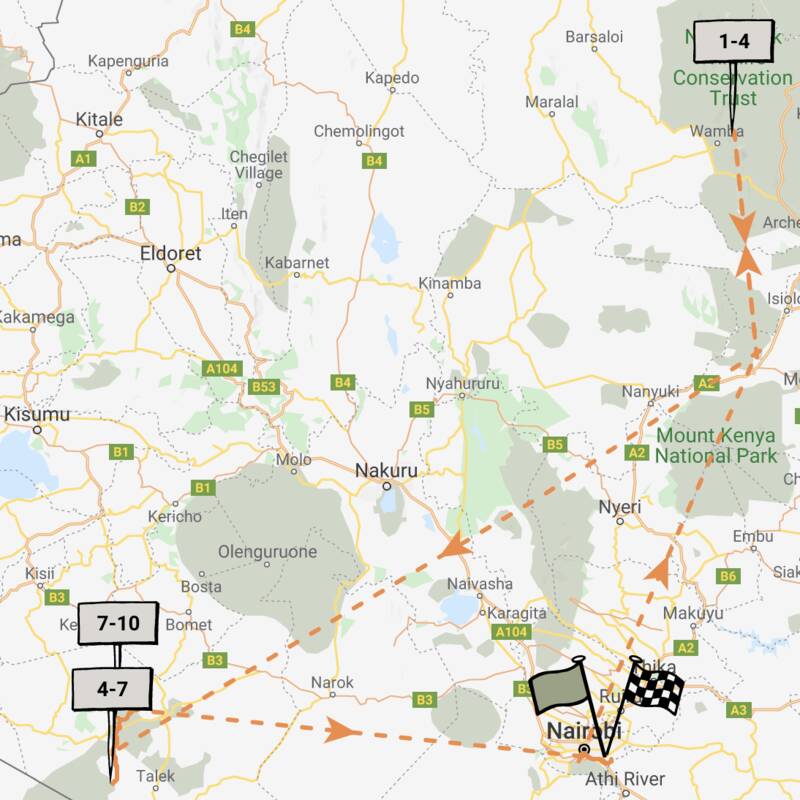
Enjoy a range of activities in the remote wilderness of northern Kenya before exploring the wildlife-rich plains of the Mara ecosystem. Private vehicles and guides heighten the personalisation of this highly immersive safari.
Visiting Northern Kenya, Mara Conservancies and 1 other area
US$13,540 - US$16,320 per person

Looking for inspiration on where to travel next?
Visit our trip chooser to explore your options and find inspiration for your perfect African adventure
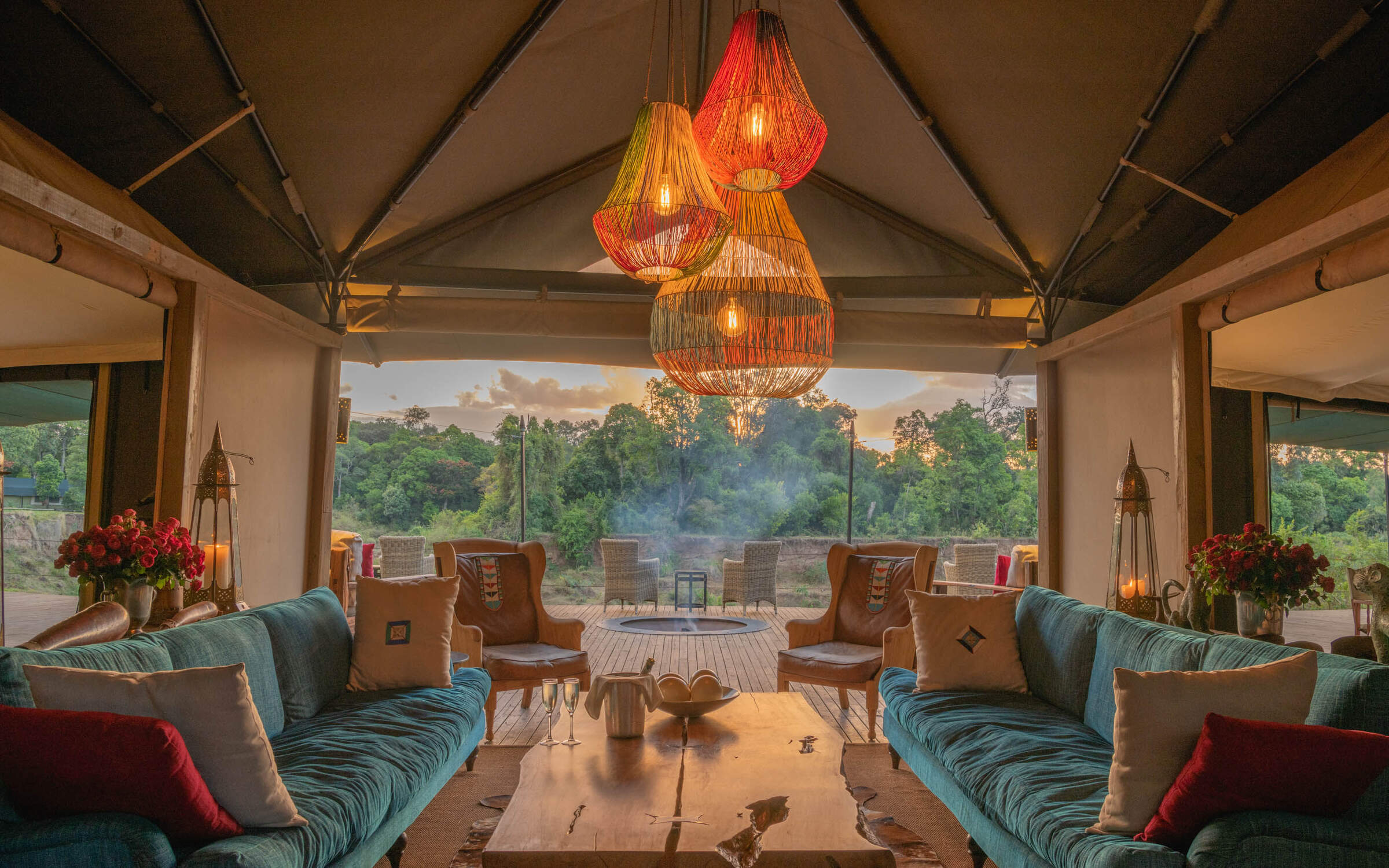
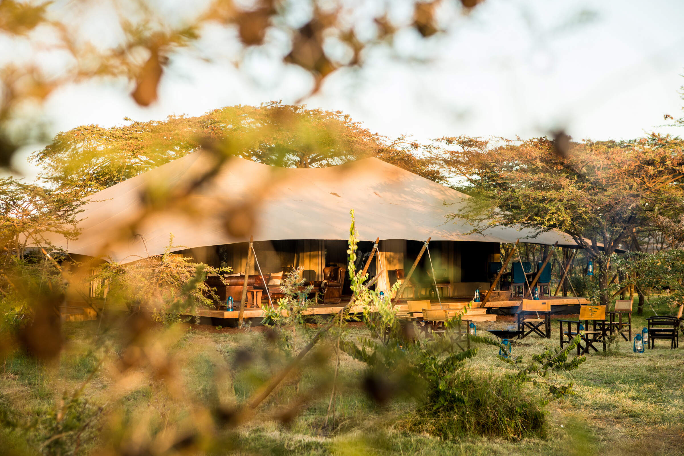
Inspire meWhere to stay in Maasai Mara
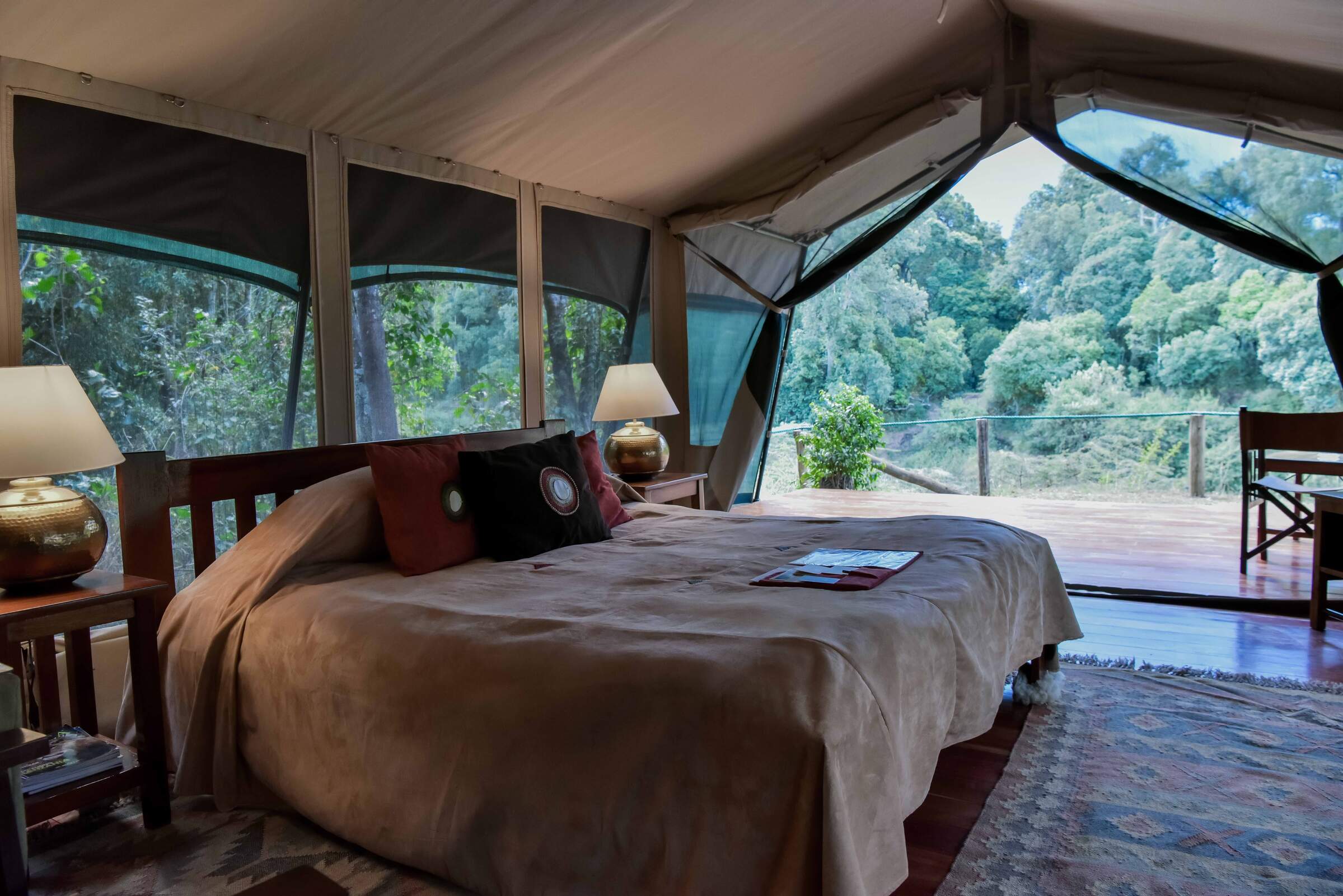
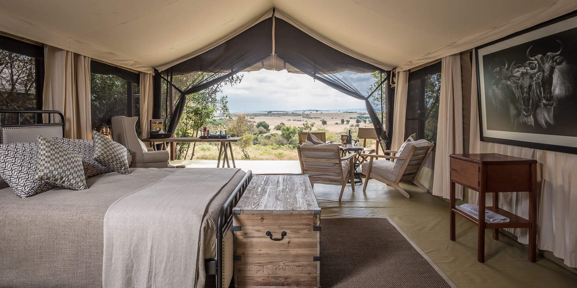
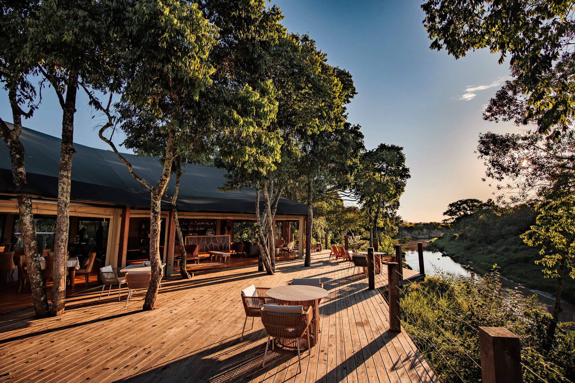
Our suggestions for safari camps in Maasai Mara National Reserve
Little Governors'
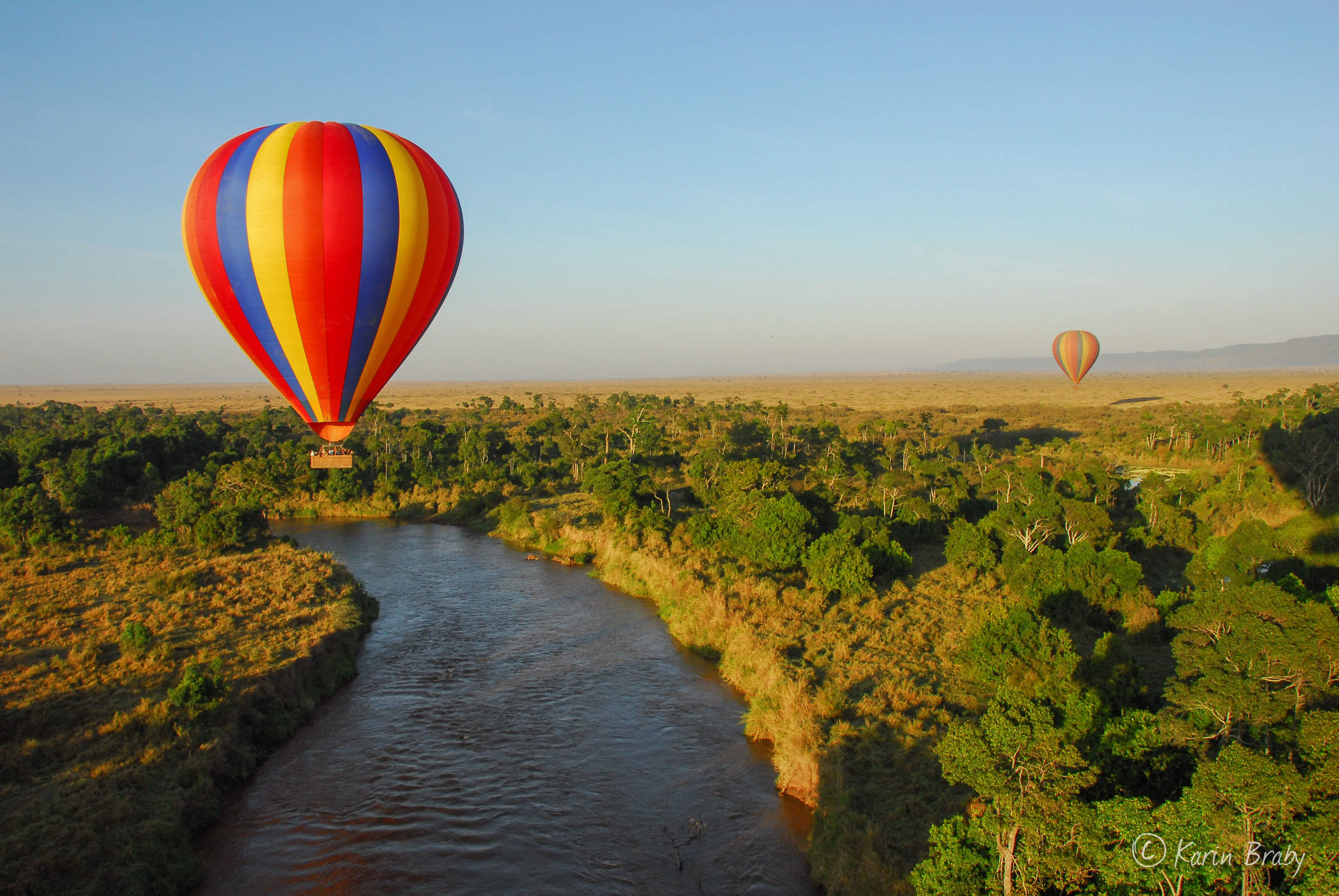
Little Governors’ Camp sits by a swamp (an old oxbow of the Mara River) in the Mara Triangle sector of the Maasai Mara National Reserve. It has its own balloon-launching site.
Rekero
Rekero is an unpretentious, high-end safari camp, for travellers who take their wildlife watching seriously and are prepared to pay for an exceptional location.
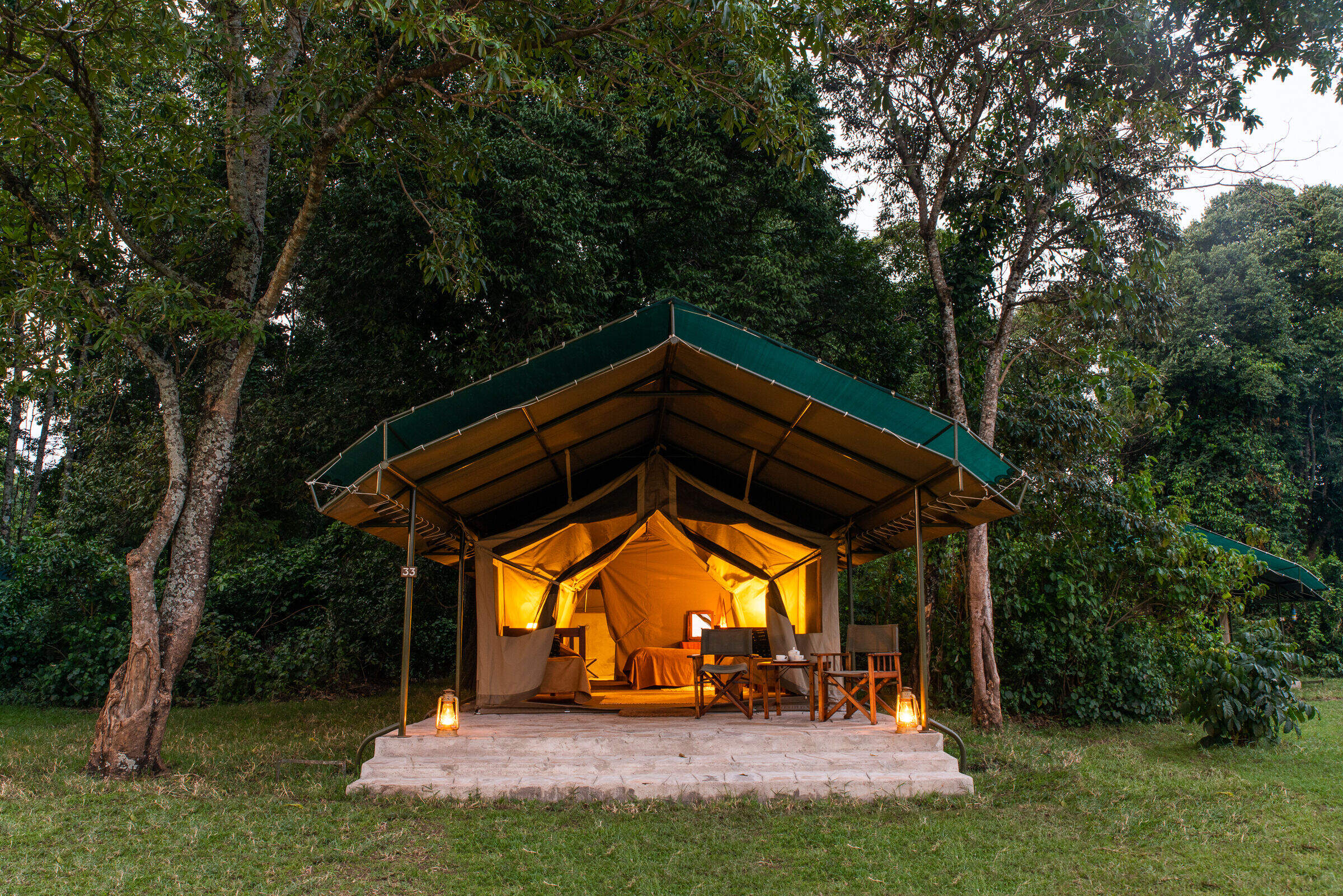
Tangulia Mara
Tangulia Mara is a rustic and traditional safari camp on the border of the Maasai Mara National Reserve owned by Jackson Looseyia of Big Cat Diary fame.
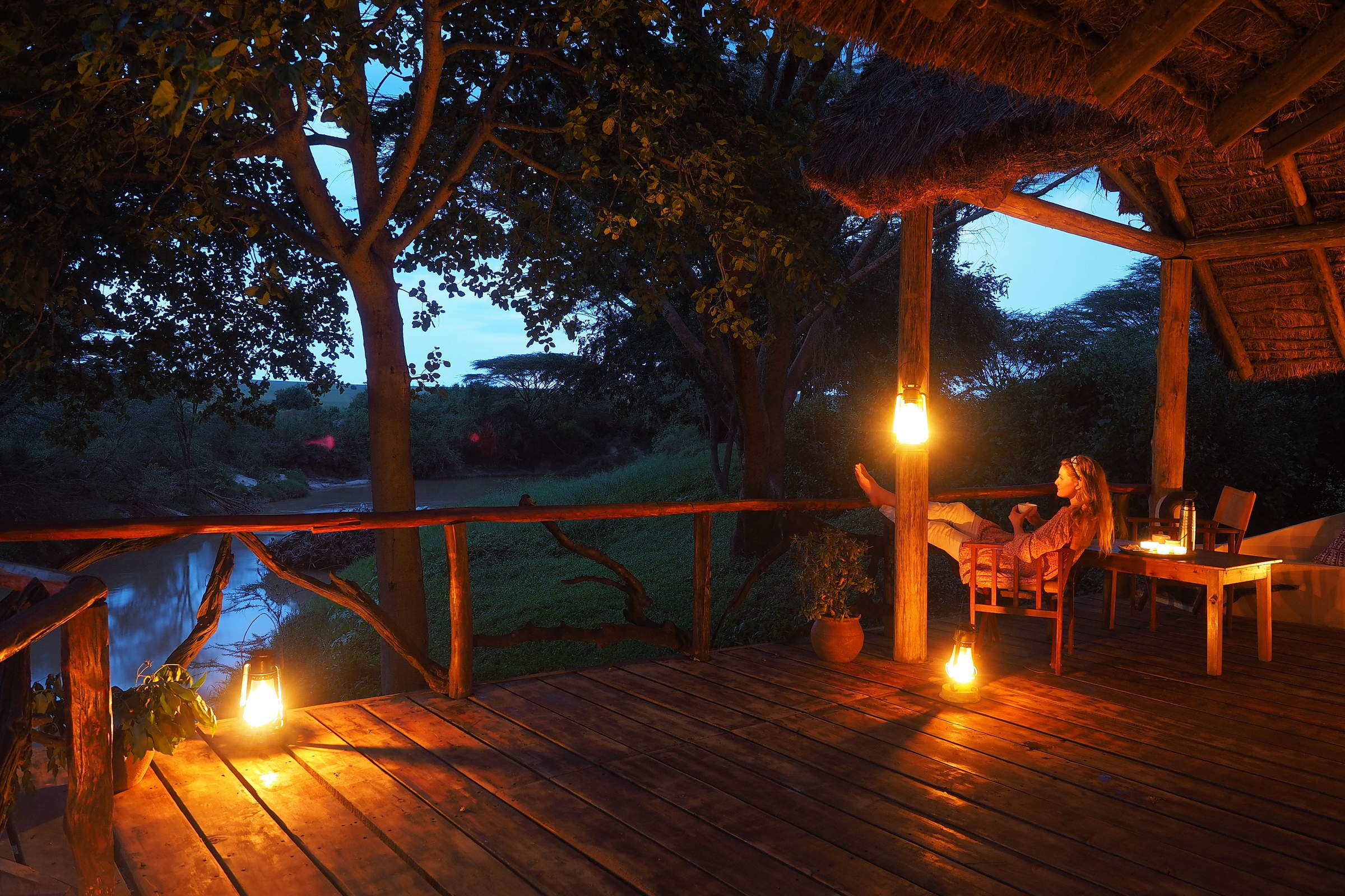
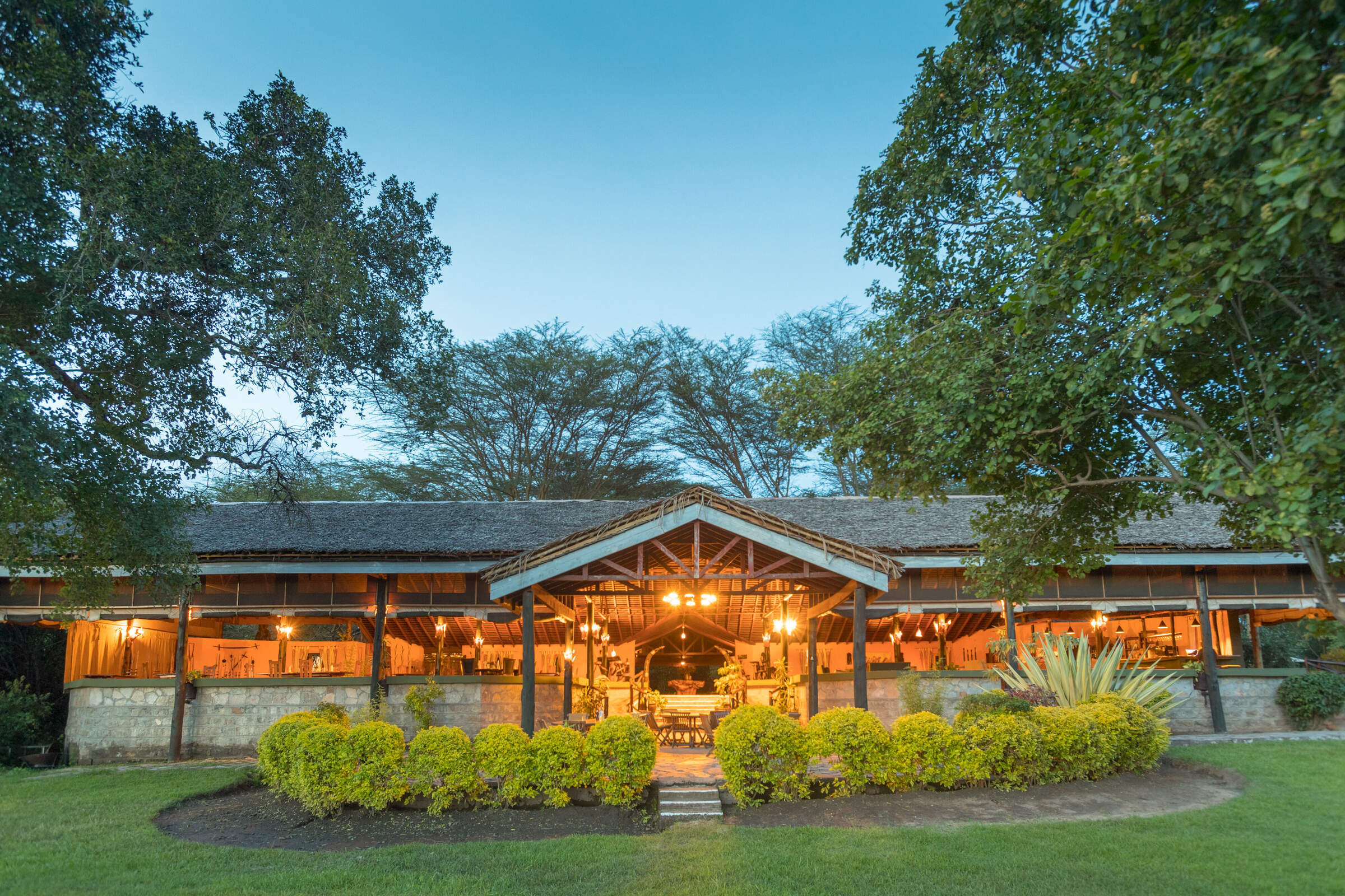
Governors' Camp
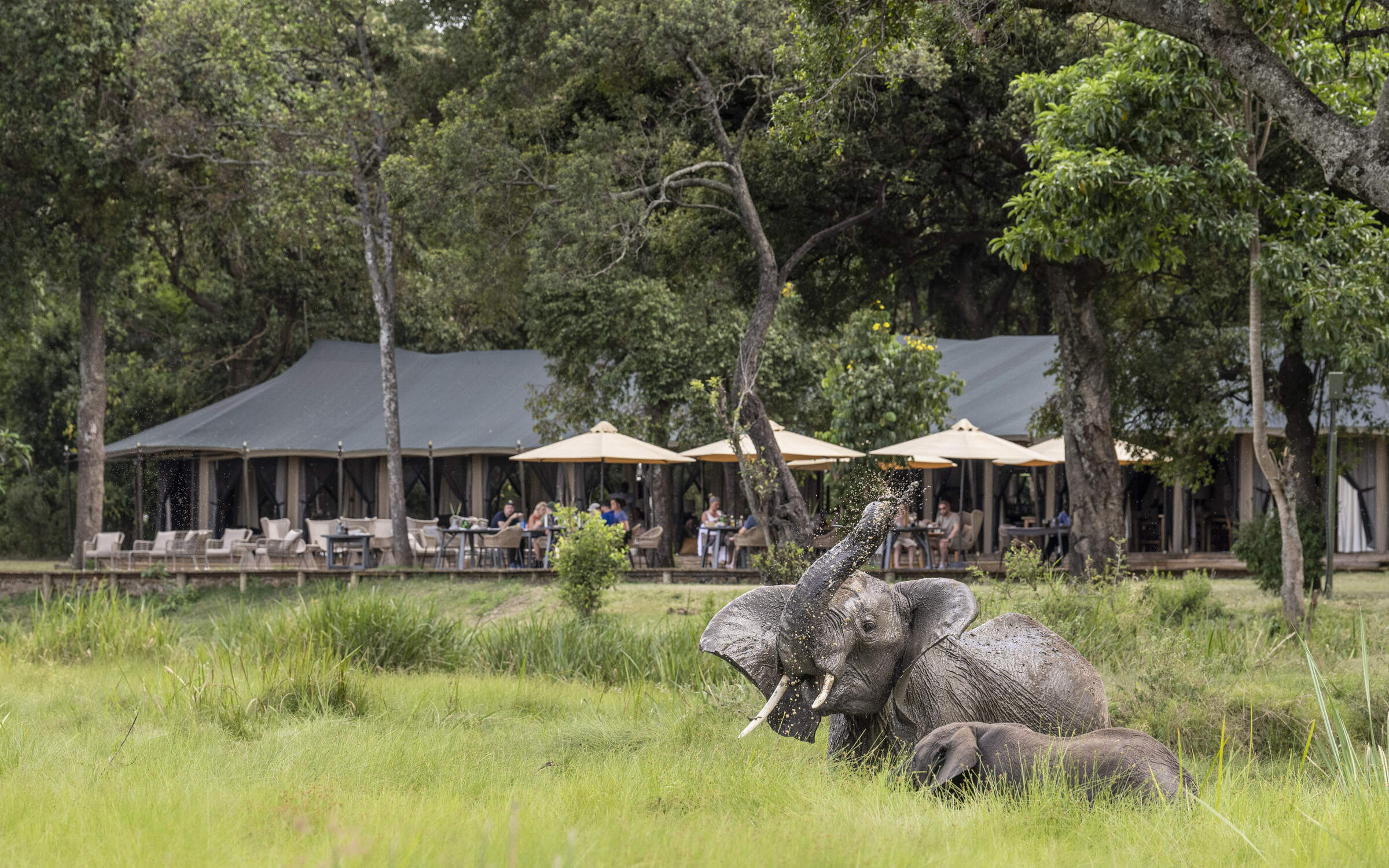
Governors' Camp is a large tented camp on the Mara River and one of the oldest in the Mara region, dating from 1972. Although unfenced, and regularly visited by elephants, the whole compound is always busy with human activity.
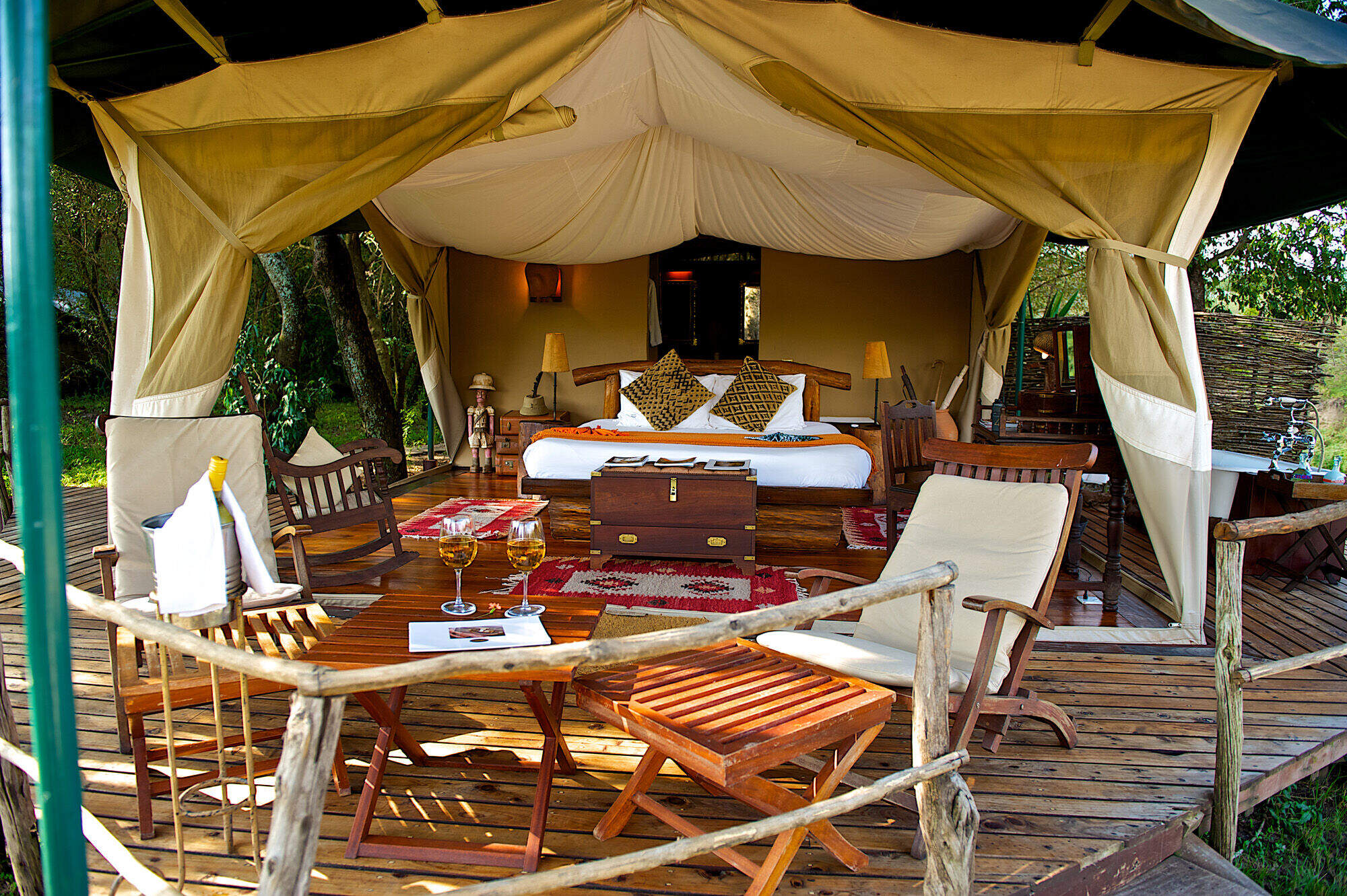
Serian Nkorombo
Serian Nkorombo is a luxury bush camp in the Musiara sector of the Maasai Mara National Reserve on the east side of the Mara River.
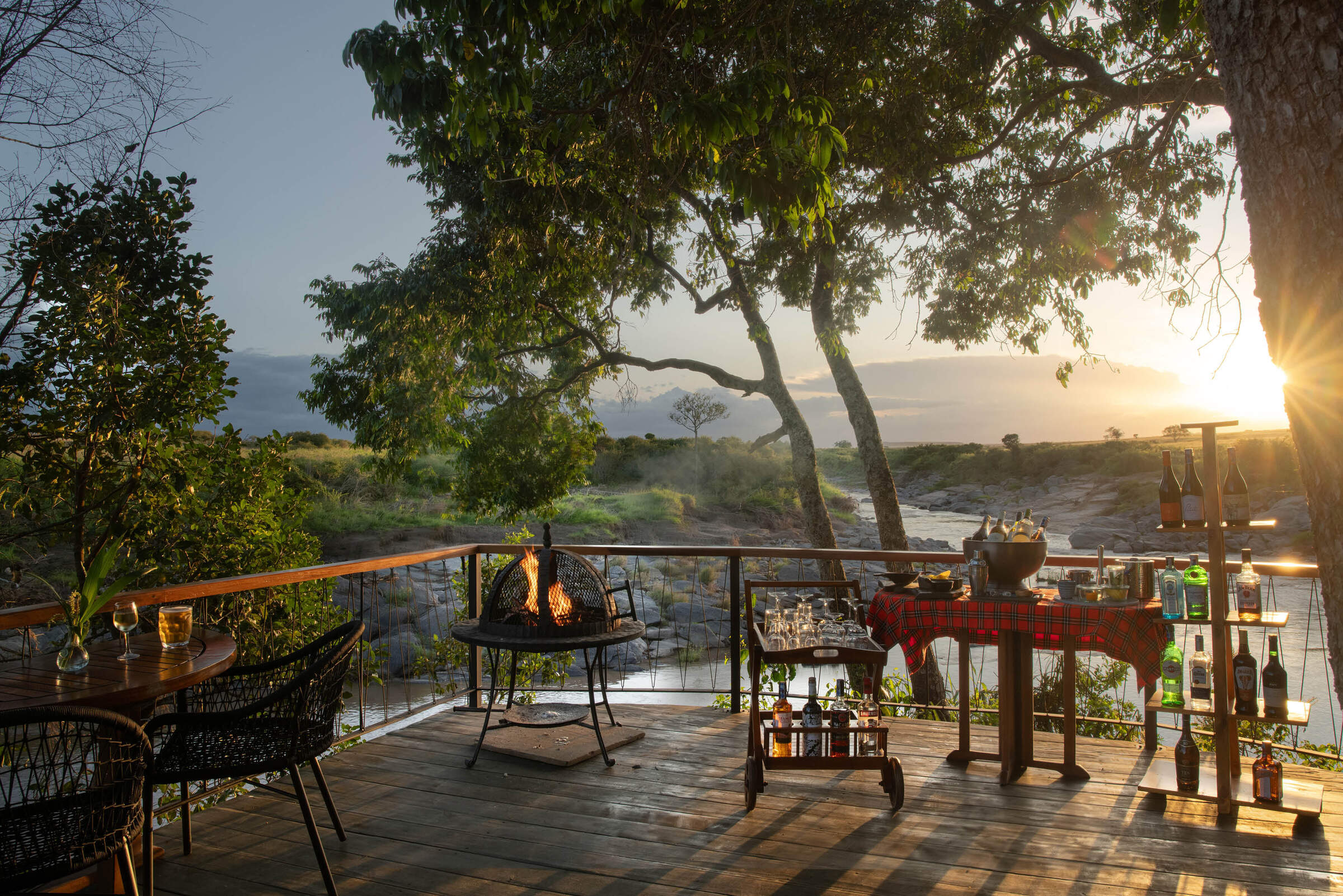
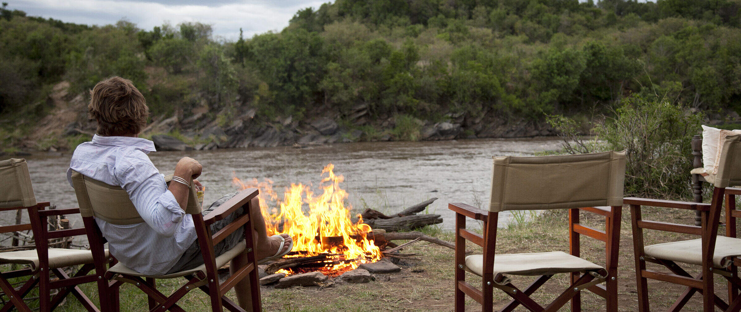
Sand River Camp
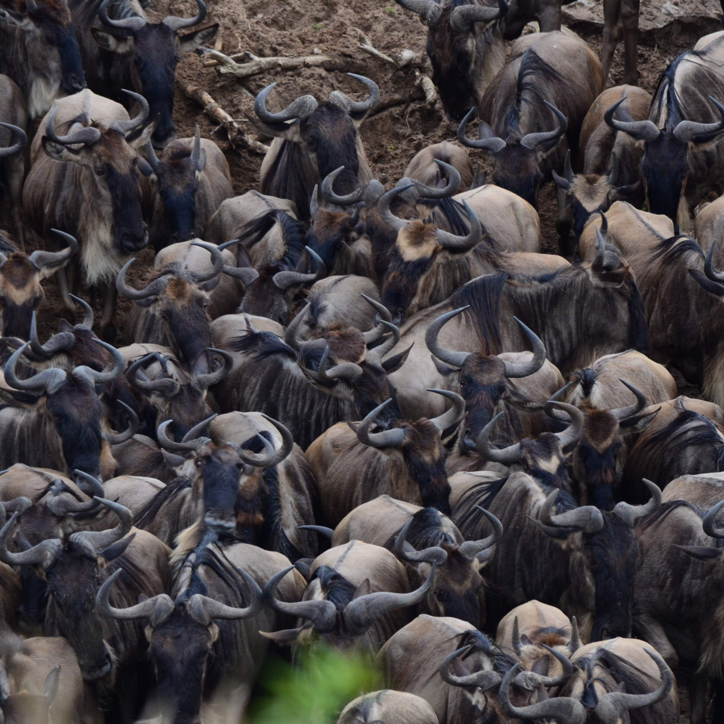
Luxury colonial-style tented camp on the banks of the Sand River close to the Tanzania border – a great spot to see the wildebeest migration.
Sala's Camp
Sala’s Camp is a comfortable and intimate tented camp, with seven tented rooms, located on the banks of the Sand River, in the far south of the Maasai Mara National Reserve.
Governors' Il Moran
The smallest and most expensive of the three camps in the Governors’ group, Governors’ Il Moran Camp hugs a meander of the Mara River just 1km north of the main Governors’ Camp.
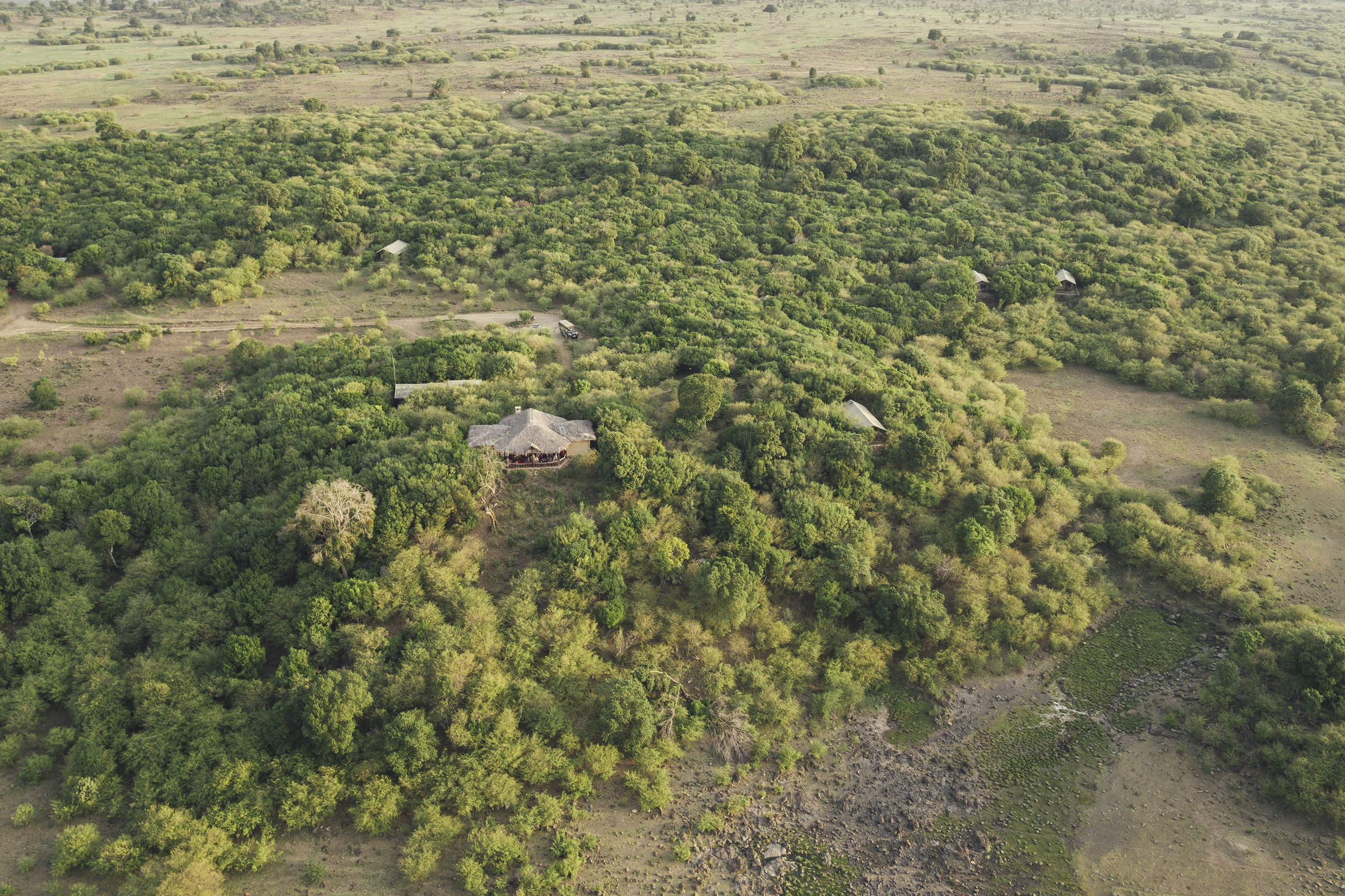
Mara Expedition Camp
Mara Expedition Camp is a small luxury camp located in a slightly elevated area of bush and woodland, just outside the Maasai Mara National Reserve.
Basecamp Maasai Mara
Basecamp Maasai Mara is a family-friendly, award-winning eco-camp on a U-bend on the north bank of the Talek River, on the boundary of the Maasai Mara National Reserve.
Ilkeliani Camp
Ilkeliani Camp is a smart elegant camp overlooking the Talek River, on the edge of the Maasai Mara National Reserve.
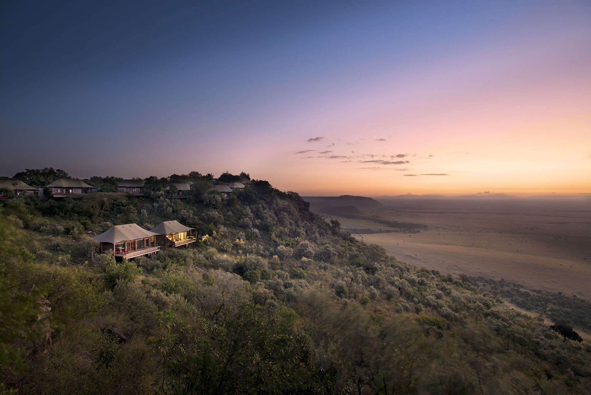
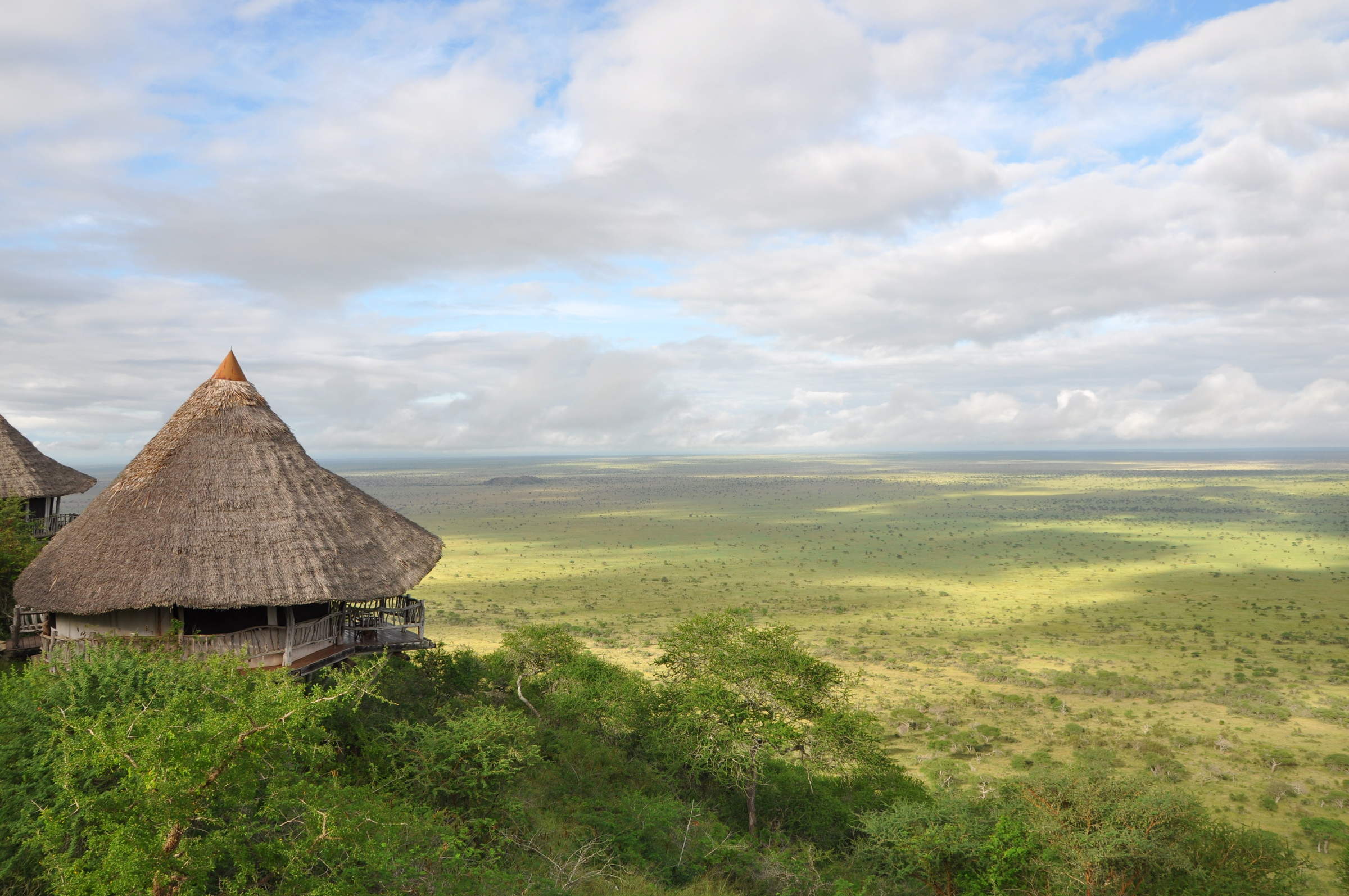
Angama Mara
Angama Mara is a top-end luxury tented camp on the Siria-Oloololo escarpment of the Maasai Mara ecoystem, just above the Mara Triangle sector of the Maasai Mara National Reserve.
Ngenche Safari Camp
Mara Ngenche is a non-hosted, luxury tented camp with an antique style, which is perfect if you're looking for private dining while staying somewhere small and personal.
Tipilikwani Camp
Tipilikwani Mara Camp is a larger, mid-range tented camp offering good value from its base on the Talek River just outside the Mara National Reserve.
Mara Serena Safari Lodge
Mara Serena Safari Lodge is a large safari hotel with views of the Mara River, in the Mara Triangle sector of the Maasai Mara National Reserve.
Mara Explorer Camp
Mara Explorer is a smart tented camp is in a scenic location on a bend in the Talek River.
Governors' Private Camp
Located on a secluded bend of the Mara River, Governor’s Private Camp has just eight tents and is booked on an exclusive basis.
Entim Camp
Entim Camp is well located in the heart of the Mara National Reserve, offering traditionally styled tented accommodation.

Naibor Camp
Naibor has a great location in the Mara reserve, and offers accommodation to suit different budgets, with stylish high-end tents and some simpler ones too.
Ishara
Ishara is a highly luxurious safari camp in the Maasai Mara, located on the Talek River, which is one of the best areas in Kenya for wildlife.
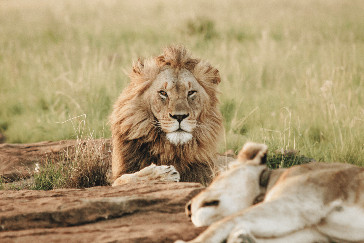
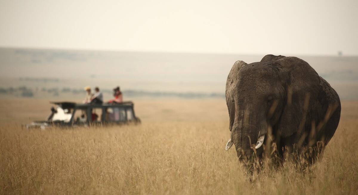
Our travellers’ wildlife sightings in Maasai Mara
This is their success for sightings in Maasai Mara National Reserve. Click on a species for more detail. How we work this out.

100% success

100% success

100% success

99% success

99% success

99% success

97% success

89% success

84% success

79% success

64% success

35% success

17% success

7% success

2% success

0% success