Maps of South Africa: two styles
The scale of South Africa’s natural diversity is thrown into relief with different styles of maps. Zoom into the areas and then the lodges and reserves on our maps for a vivid indication of the country’s topography.
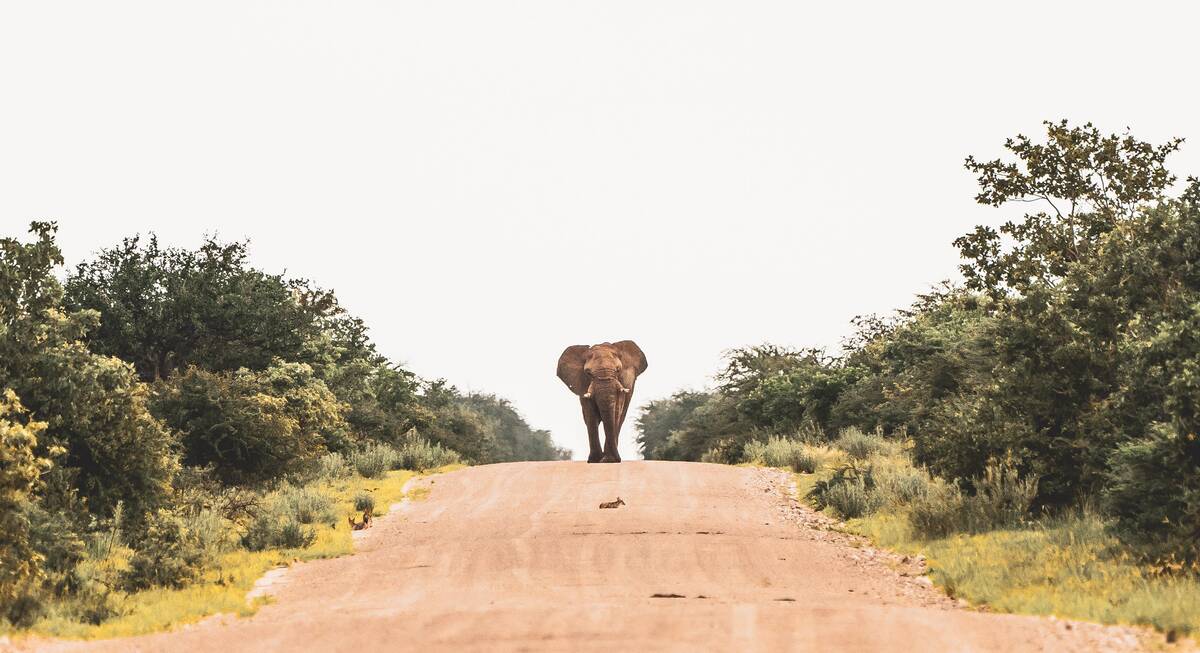
At first glance, South Africa appears to be dominated by a vast arid landscape, with a fertile green fringe that stretches north towards Botswana and Zimbabwe. Switch to satellite imagery and you’ll see that much of that “arid” land is taken up by the great mountain ranges that dissect the country, opening out to the north into the desert areas of the Kalahari.
Click onto any of the markers, and follow the links in the bubbles until you find maps of these areas, with precise locations for the various safari camps and lodges.
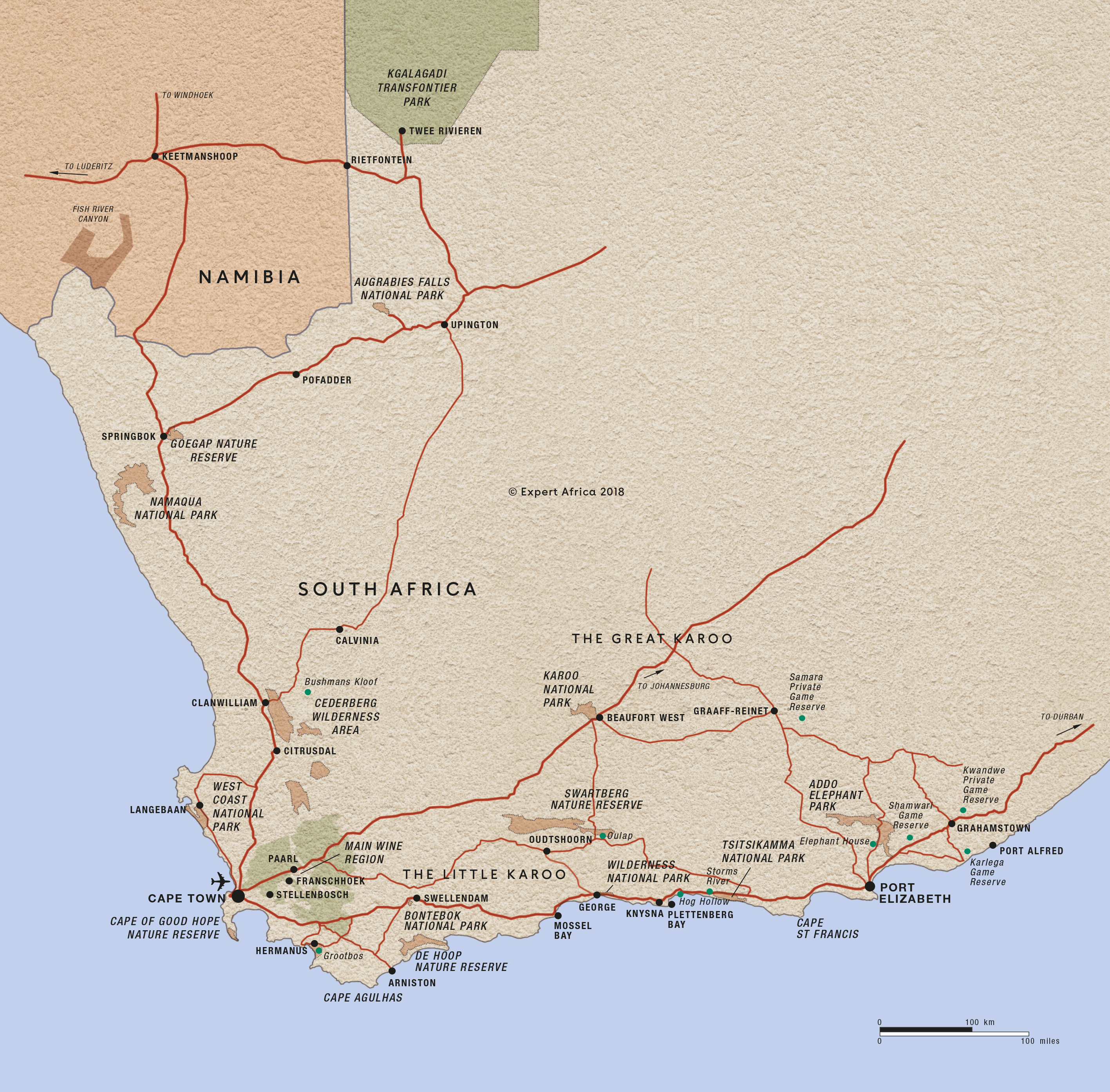
Our map of South Africa
This a sketch map of South Africa – showing its key road arteries, national parks, towns, and areas of interest for visitors.
Google map of South Africa
This map splits areas for holidays and safaris in the Cape into seven areas, each marked by a large blue marker. Read about them by clicking on these large markers.
To see the more detailed maps of these areas follow links in the bubbles – or at the bottom of the page. These more detailed area maps mark the precise locations of various different hotels, guest houses and safari lodges and camps – and can be viewed as fully-detailed street maps in some areas.
Our top trips in South Africa
Here are 9 great South Africa trips to inspire you.
Cape Genet Self-drive Safari
20 days • 8 locations
CAPE TOWN AIRPORT TO CAPE TOWN AIRPORT
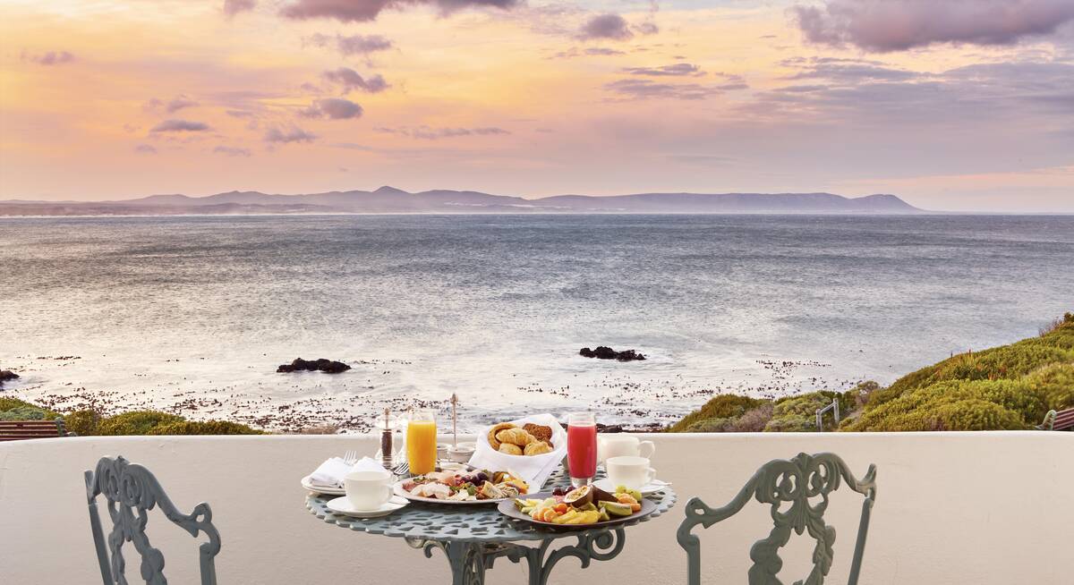
Enjoy fine-dining in Cape Town, whale-watching in Hermanus, and a range of walking and water-based activities throughout De Hoop’s Nature Reserve, the Klein Karoo and Plettenberg. This relaxed self-driven safari concludes with stays in The Winelands and Namaqualand.
US$3,770 - US$4,520 per person
Cape Grysbok Self-drive Safari
20 days • 8 locations
CAPE TOWN AIRPORT TO CAPE TOWN AIRPORT
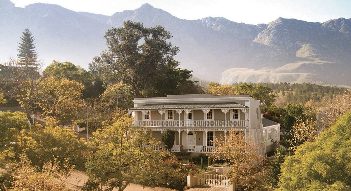
Explore Cape Town, Hermanus, Franschhoek and Namaqualand, amongst other memorable destinations, during this leisurely self-driven safari. Fine dining, varied activities and impressively comfortable lodges, estates and country houses await.
US$4,970 - US$7,490 per person
Bontebok Self-drive Safari
12 days • 5 locations
CAPE TOWN AIRPORT TO PORT ELIZABETH AIRPORT
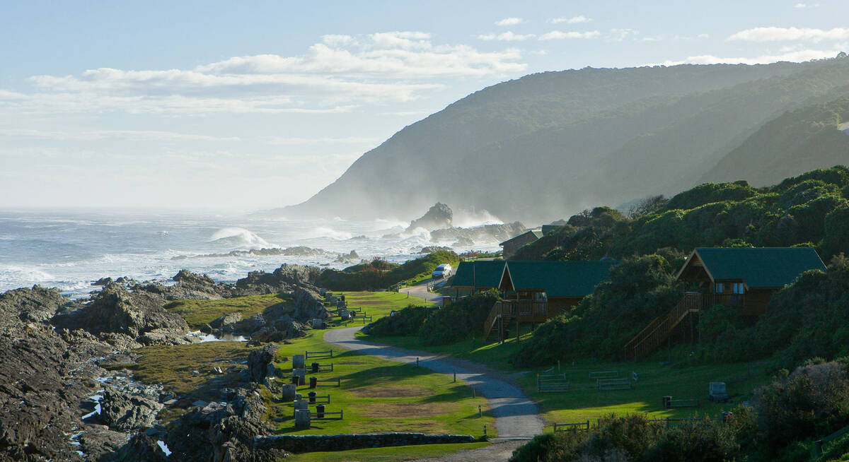
This varied and great-value self-drive trip visits Cape Town, the Winelands and diverse sections of the Garden Route, staying at great places with real local character. It’s ideal for active couples and families who want to explore the Cape’s stunning locations.
US$1,860 - US$1,950 per person
Waterbuck self-drive
12 days • 6 locations
CAPE TOWN AIRPORT TO PORT ELIZABETH AIRPORT
A classic Cape and Garden Route self-drive taken at a leisurely pace and staying in charming boutique hotels. Great food and wine paired with spectacular scenery and an exciting array of activities.
US$3,080 - US$3,310 per person
Cape Mountain Zebra Self-drive Safari
12 days • 4 locations
CAPE TOWN AIRPORT TO CAPE TOWN AIRPORT
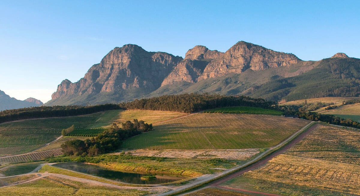
Fine dining, luxurious accommodation and a wide of range of leisurely activities make this a superbly comfortable self-driven safari. Visit the cosmopolitan Cape Town, tranquil coastal retreats, stylish wine farms and spectacularly peaceful nature reserves.
US$4,680 - US$6,960 per person
Black Wildebeest Self-drive Safari
19 days • 10 locations
CAPE TOWN AIRPORT TO WINDHOEK AIRPORT
Journey from South Africa’s cosmopolitan Cape Town to central Namibia’s Okonjima Nature Reserve during this self-driven safari. The route passes through a stunning variety of landscapes, offering access to this beautiful continent’s rich diversity.
US$4,280 - US$4,390 per person
The Highlights of Africa
17 days • 7 locations
CAPE TOWN AIRPORT TO KIGALI AIRPORT
An epic adventure taking in some of Africa’s most incredible sights and wildlife experiences, from Cape Town to the Okavango Delta, Victoria Falls, the Maasai Mara and an encounter with mountain gorillas.
US$16,710 - US$19,880 per person
Leopard Safari
13 days • 4 locations
VICTORIA FALLS AIRPORT TO CAPE TOWN AIRPORT
Victoria Falls, Botswana and Cape Town – a classic southern African itinerary combining luxury, wilderness, safari and culture. We can't think of a better way to spend two weeks.
US$15,260 - US$18,150 per person
Kwandwe Self-drive Safari
3 days • 1 locations
PORT ELIZABETH AIRPORT TO PORT ELIZABETH AIRPORT
An elegantly stylish lodge that is well suited to families, Kwandwe offers a range of safari activities and the chance to sight all of the "Big 5" during exploration of the Eastern Cape.
US$3,230 - US$4,570 per person
South Africa fact file
Useful information to help you prepare for your trip in South Africa
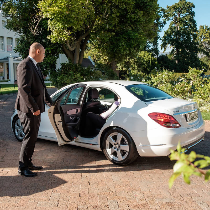
South Africa car hire
Car hire, rental choices and our experiences
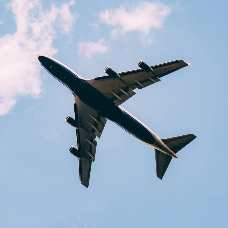
Flights to South Africa
How to get there & travelling locally

LGBT travel in South Africa
Attitude, the law & our experiences
South Africa general info
Essential travel information

Tipping in South Africa
Expectations & guidelines for tipping
Weather & climate
The best time to visit South Africa

Looking for inspiration on where to travel next?
Visit our trip chooser to explore your options and find inspiration for your perfect African adventure
Inspire me