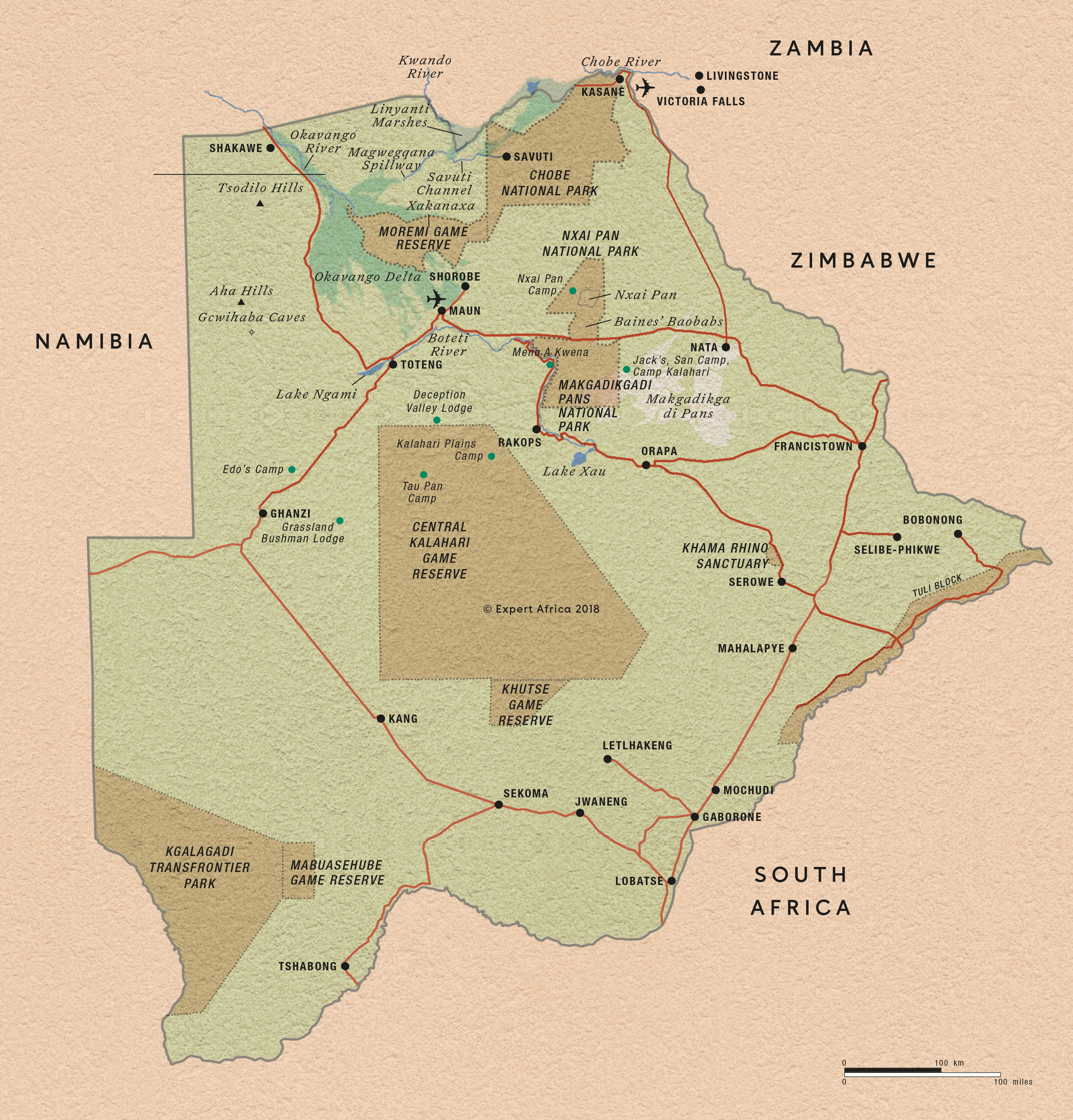
Maps of Botswana: two styles
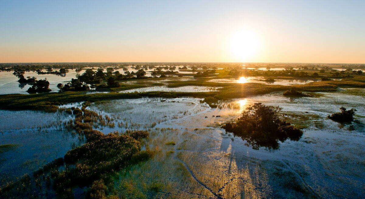
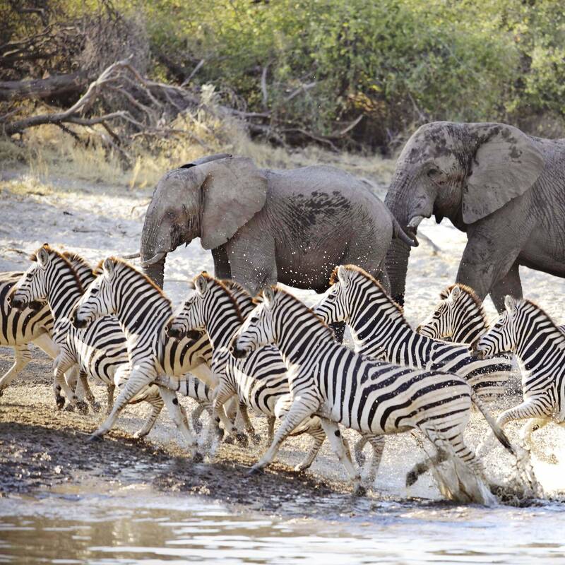
Take a look at the satellite map of Botswana, below, and the geography of northern Botswana is thrown into graphic relief. Even at this scale, the dramatic sweep of the Okavango Delta, fanning out from the broad Panhandle as it enters the country in the north-west, stands out against the surrounding, largely arid terrain. Most of Botswana’s main safari camps are found within the wider parameters of the Delta, but some are clustered in the Kwando-Linyanti area to the north-east and along the Chobe River within Chobe National Park. To find the location of these and other safari camps and lodges, just zoom in on the map.
To the south-east, the huge white expanse of the Kalahari's Salt Pans is clearly visible, while south again is the vast emptiness of the Central Kalahari Game Reserve. With just a handful of safari camps in these areas, visitors are a rarity – but the rewards can be significant.
Our map of Botswana
This a sketch map of Botswana – showing its key road arteries, national parks, towns, and areas of interest for visitors.
Google map of Botswana - key safari areas
Even at this scale – the huge expanse of the Kalahari's Salt Pans are visible as a blue-white splodge, just below the relevant bubble. Zoom in by one level on the scale to see the Okavango delta more clearly, entering Botswana in the north-east (where the 'Okavango Panhandle' marker is), and then fanning out. It's in this area that most of the main safari camps are.
Click onto any of the markers, and follow the links in the bubbles, for maps of these areas with precise locations for the various safari camps and lodges
Our top safaris in Botswana
Here are 26 great Botswana safaris to inspire you.
Wild Dog Safari
13 days • 5 locations
KASANE AIRPORT TO MAUN AIRPORT
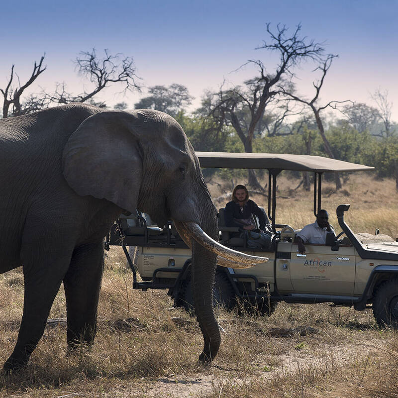
An in-depth discovery of northern Botswana’s wilderness, from Chobe and the private Kwando Reserve to the Moremi and iconic Okavango Delta with a great variety of activities and wildlife.
US$12,930 - US$21,350 per person
Porcupine Safari
11 days • 4 locations
MAUN AIRPORT TO MAUN AIRPORT
Visit dramatically contrasting landscapes boasting a variety of species during this exploration of Botswana’s top-safari destinations. A combination of national parks and private reserves allows for a range of activities.
US$11,780 - US$16,860 per person

Spring Hare Safari
9 days • 3 locations
KASANE AIRPORT TO MAUN AIRPORT
An authentic and diverse safari to Botswana combining the Chobe Forest Reserve, Savuti Marshes and the Okavango Delta. Strong wildlife viewing, a variety of activities and excellent value camps.
US$8,710 - US$14,180 per person
Large-spotted Genet Safari
9 days • 3 locations
MAUN AIRPORT TO MAUN AIRPORT
A luxury safari exploring the Okavango Delta and Linyanti–Savuti, two of the best wildlife viewing areas in Botswana, staying at three top camps renowned for their guiding for a first-class experience.
US$14,230 - US$23,640 per person
Red Lechwe Safari
9 days • 3 locations
MAUN AIRPORT TO MAUN AIRPORT
Superb guiding from three fabulous camps full of character in three contrasting areas for a fabulous safari to the Okavango Delta and Kalahari Desert.
US$17,600 - US$28,240 per person
Steenbok Safari
9 days • 3 locations
MAUN AIRPORT TO MAUN AIRPORT
A classic Botswana safari exploring the Moremi, Chobe National Park and Okavango Delta. Excellent wildlife viewing and a variety of activities from three of our favourite traditional tented camps.
US$8,920 - US$13,480 per person
Pangolin Safari
8 days • 3 locations
MAUN AIRPORT TO MAUN AIRPORT
Three relaxed, local feeling camps in pristine settings – the Kwando Reserve and Okavango Delta. Guided by a driver and tracker at each, this a great trip for spotting Botswana’s top predators.
US$9,730 - US$16,340 per person
Bushbuck Safari
8 days • 3 locations
MAUN AIRPORT TO MAUN AIRPORT
Discover three of Botswana’s best game-viewing regions with stays in the private Linyanti, Chitabe and Vumbura reserves. Intimate, smart camps offer a range of activities by which to discover these stunningly varied habitats.
US$18,020 - US$31,740 per person
Reedbuck Safari
8 days • 3 locations
MAUN AIRPORT TO MAUN AIRPORT
Focussing on the Okavango Delta and combining the crème de la crème of Botswana’s camps – Zarafa, Vumbura Plains and Mombo – this is one of the finest safari experiences in Africa.
US$23,410 - US$36,280 per person
Tsessebe Safari
7 days • 3 locations
MAUN AIRPORT TO MAUN AIRPORT
Visit three sister-camps in and around Moremi Game Reserve during this thorough exploration of the Okavango Delta. A range of activities provide excellent opportunity to observe the local birdlife, mammals and fauna.
US$8,520 - US$11,410 per person
Botswana fact file
Useful information to help you prepare for your trip in Botswana
Botswana general info
Essential info for travelling in Botswana
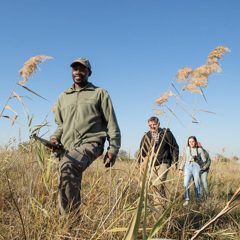
Botswana safari guides
Info on some of Botswana's top guides
Botswana safari packing list
Advice and tips on what to take on safari
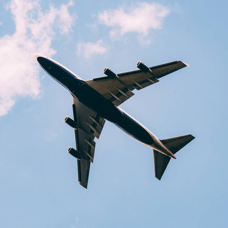
Flights to Botswana
How to get to Botswana
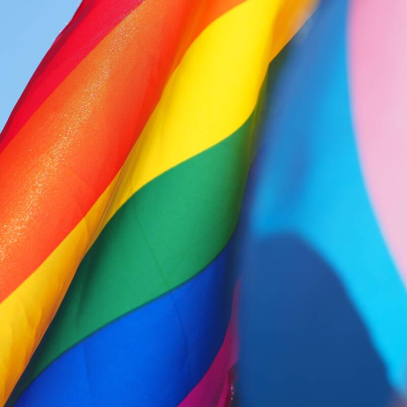
LGBT Travel in Botswana
Attitudes, the law & our experiences
Migrations in Botswana
Seasonal wildlife migrations
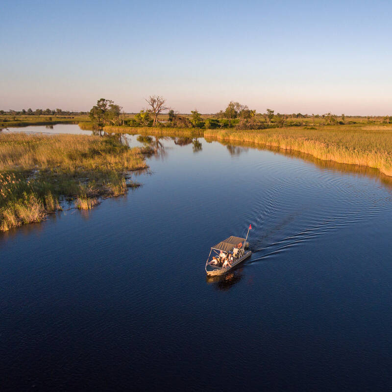
Okavango Delta Flood
Year on year flood water levels
Tipping in Botswana
Expectations & guidelines for tipping
Types of Botswana safaris
Types of safari experiences
Weather & climate
The best time to visit Botswana

Looking for inspiration on where to travel next?
Visit our trip chooser to explore your options and find inspiration for your perfect African adventure
Inspire me