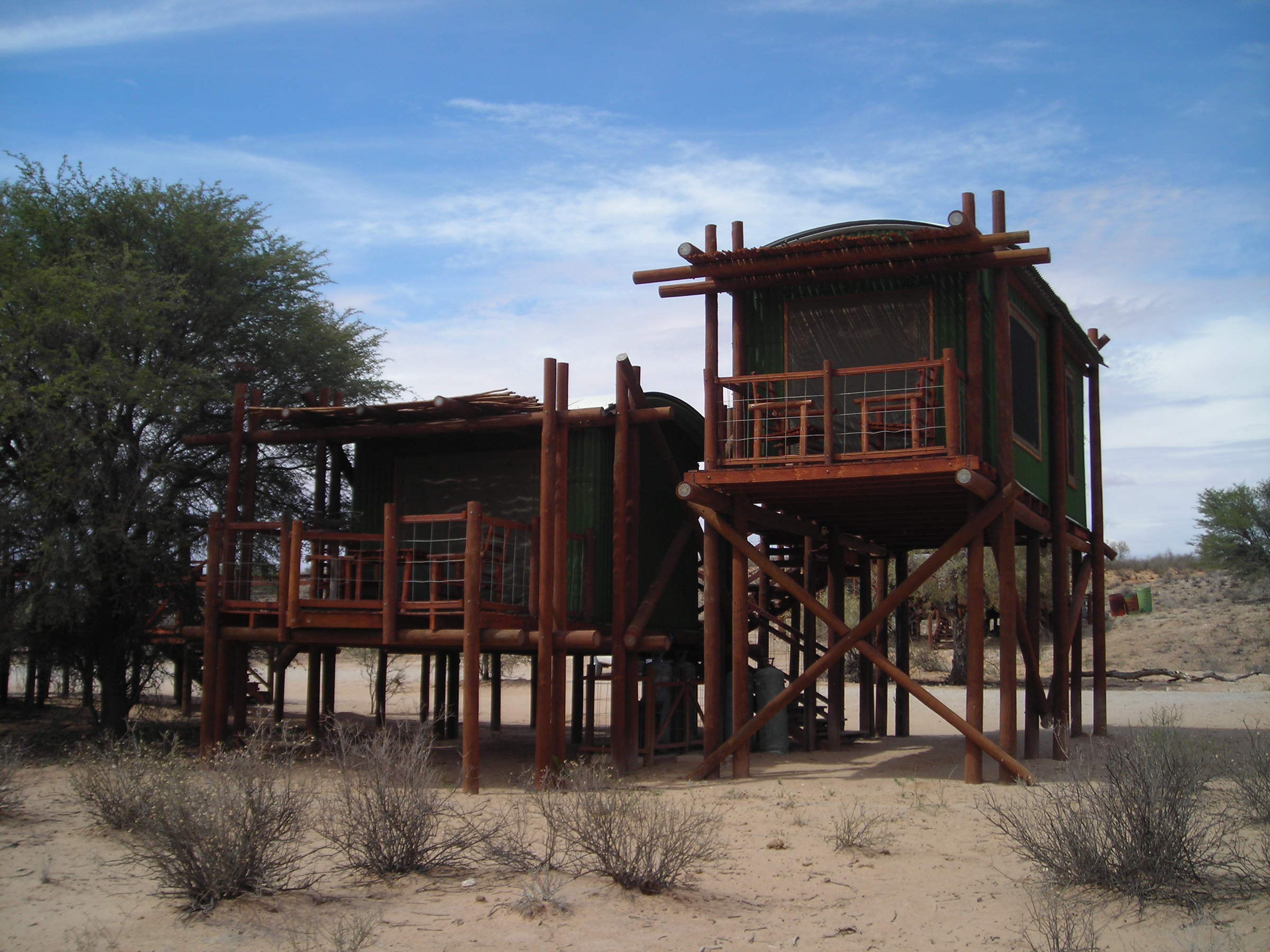
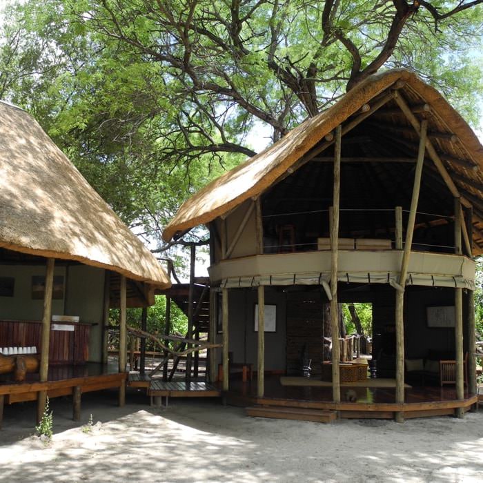
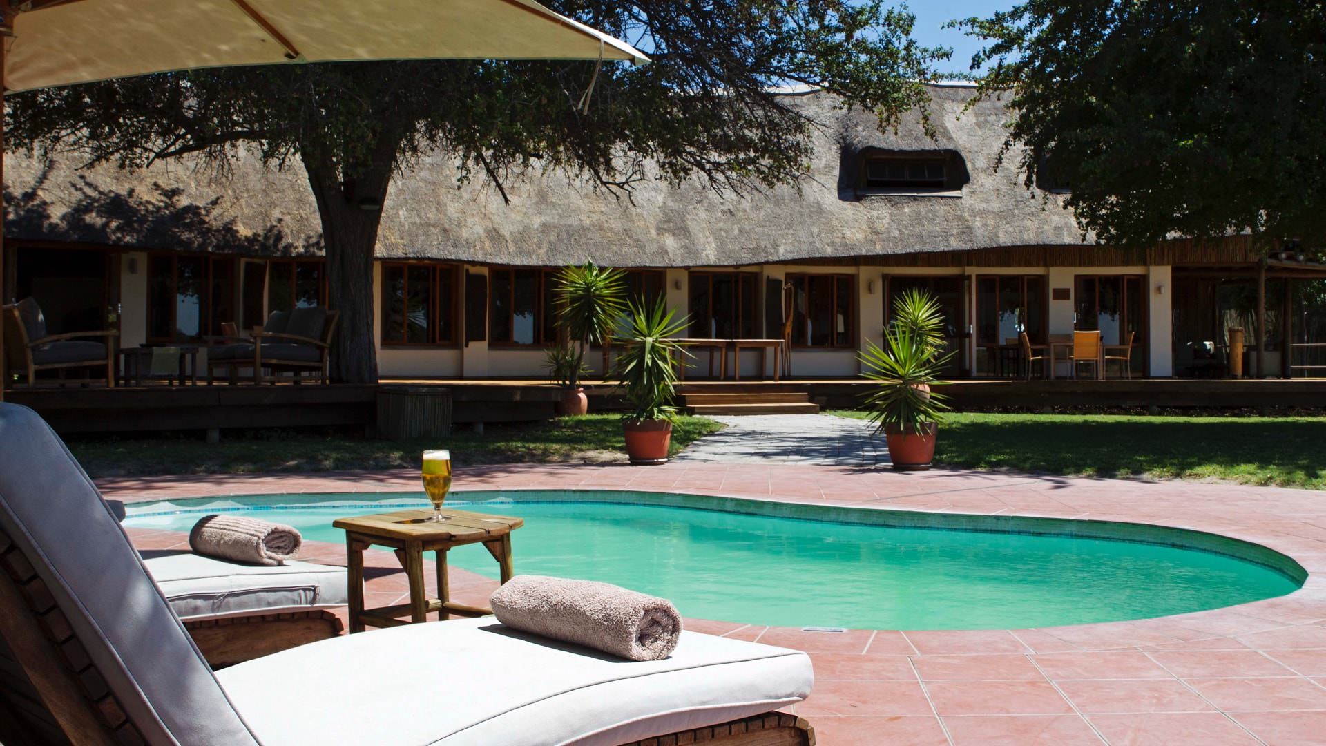
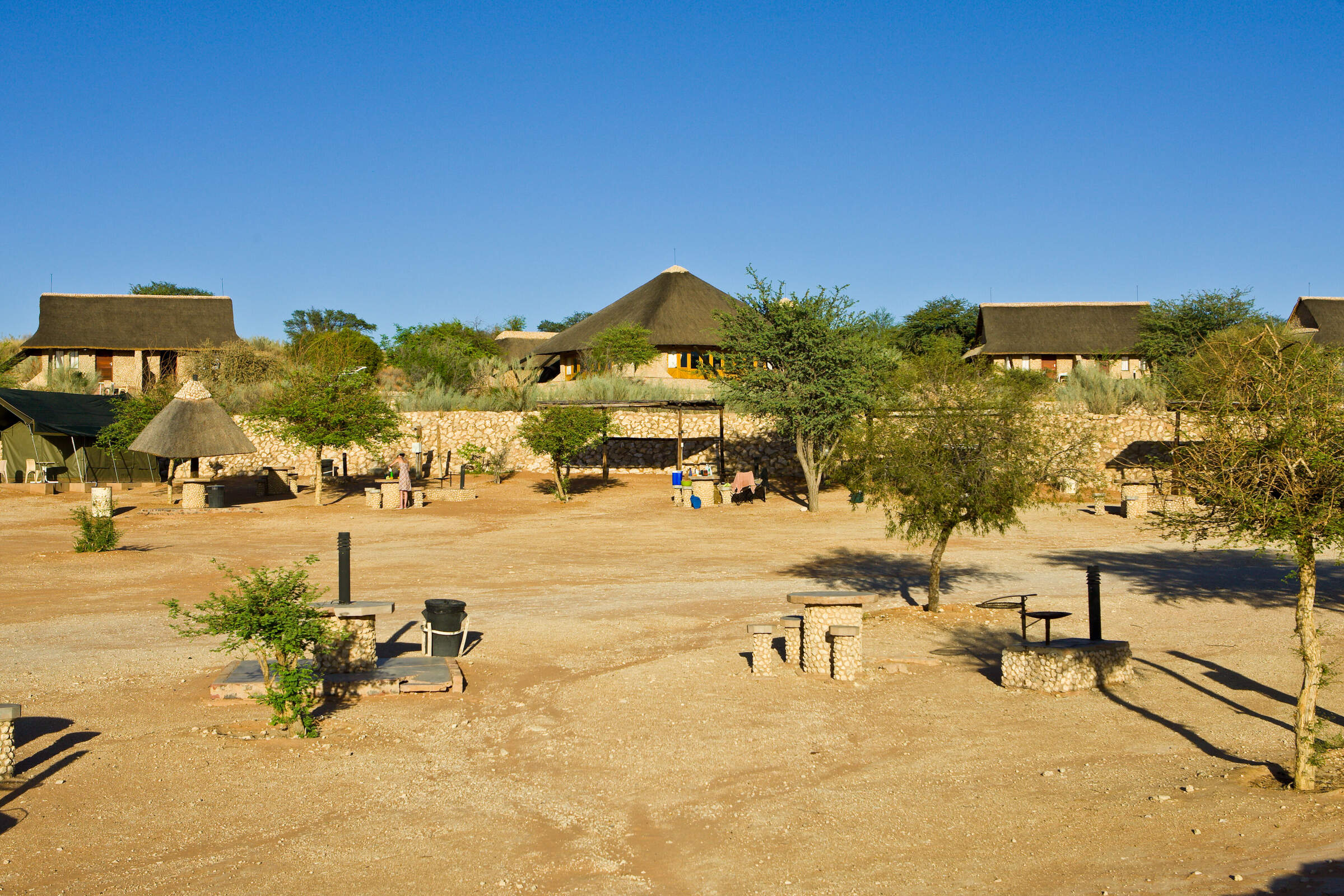
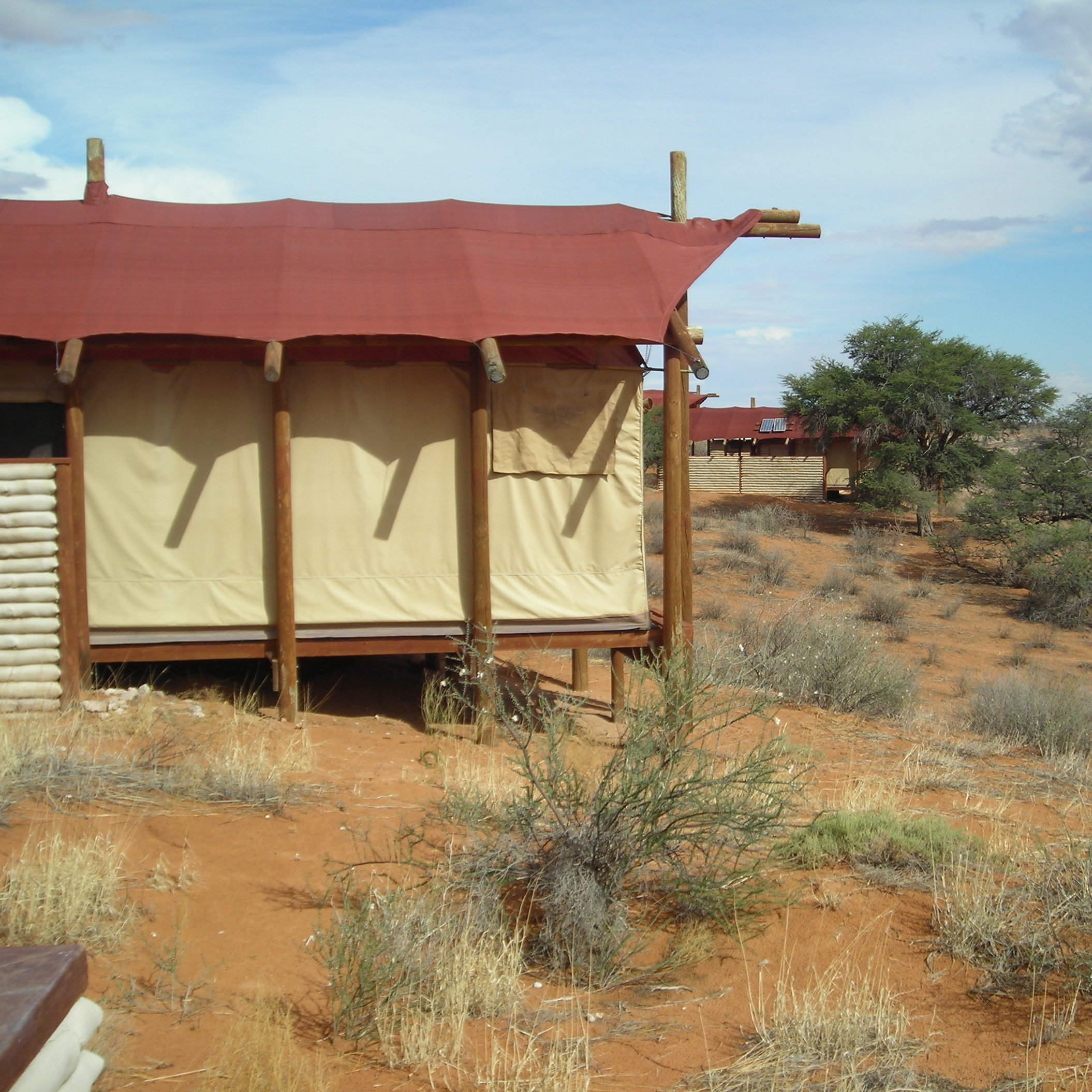
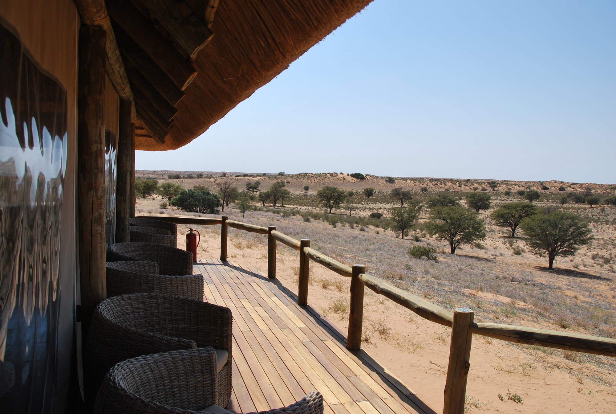
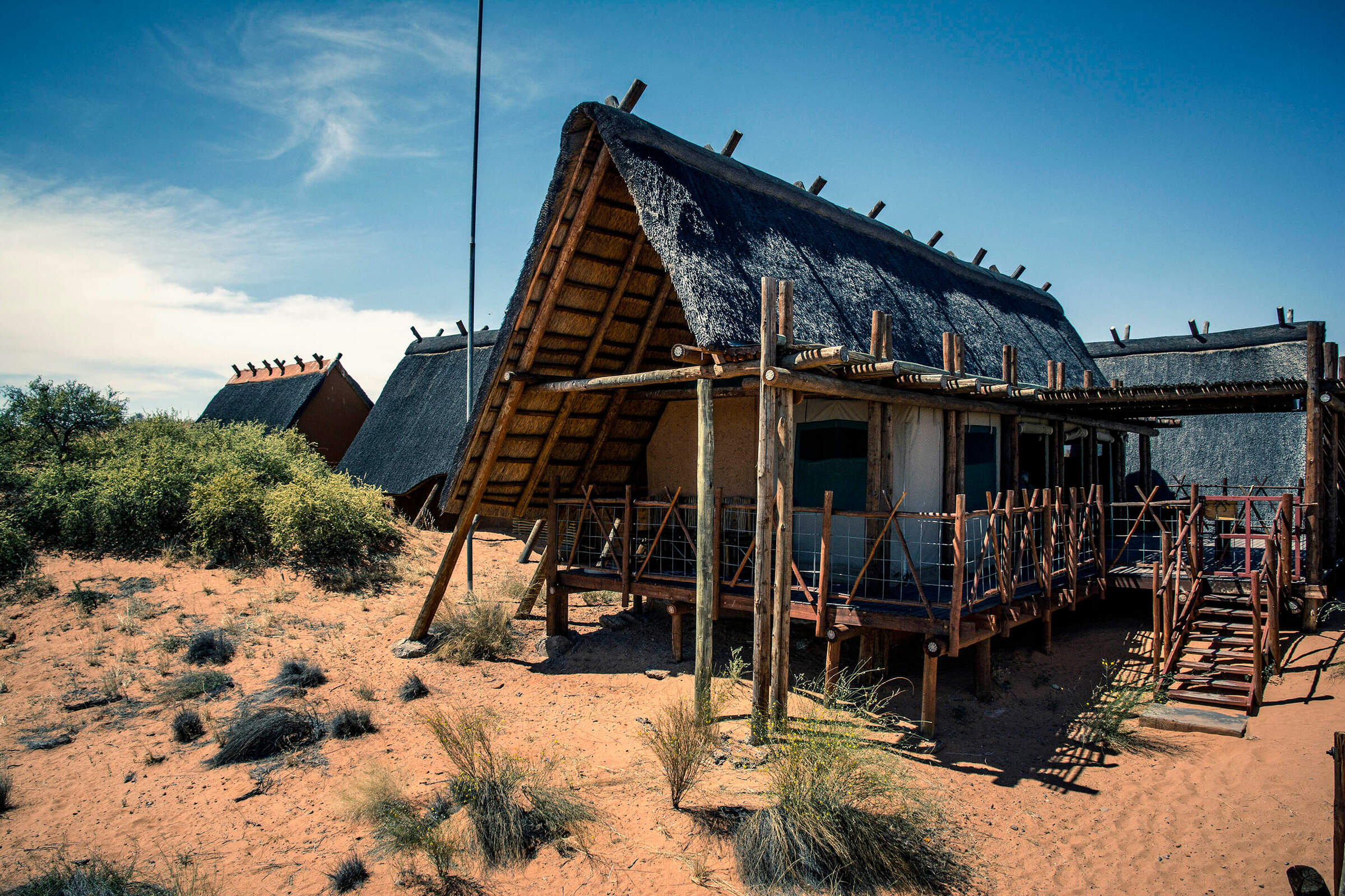
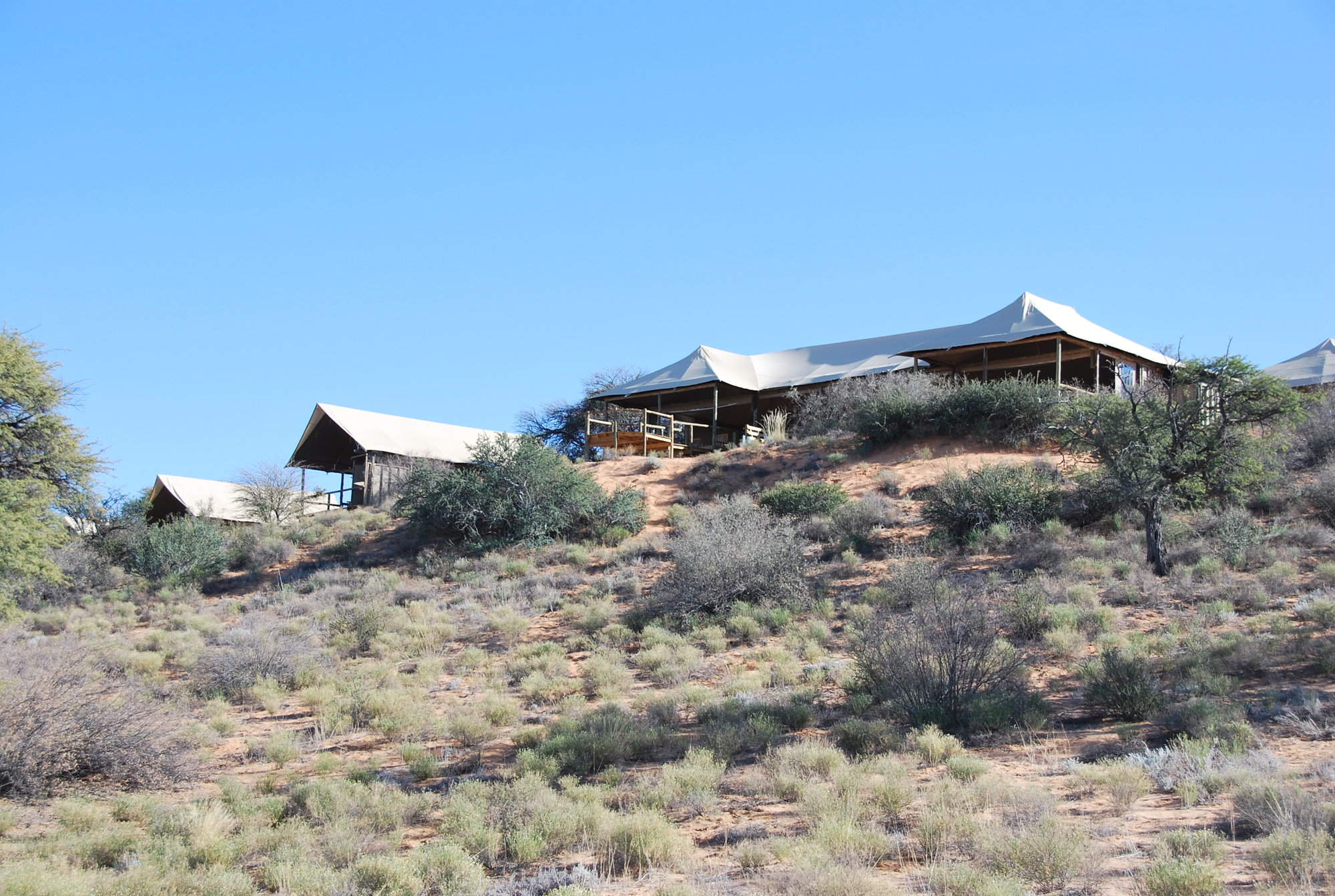
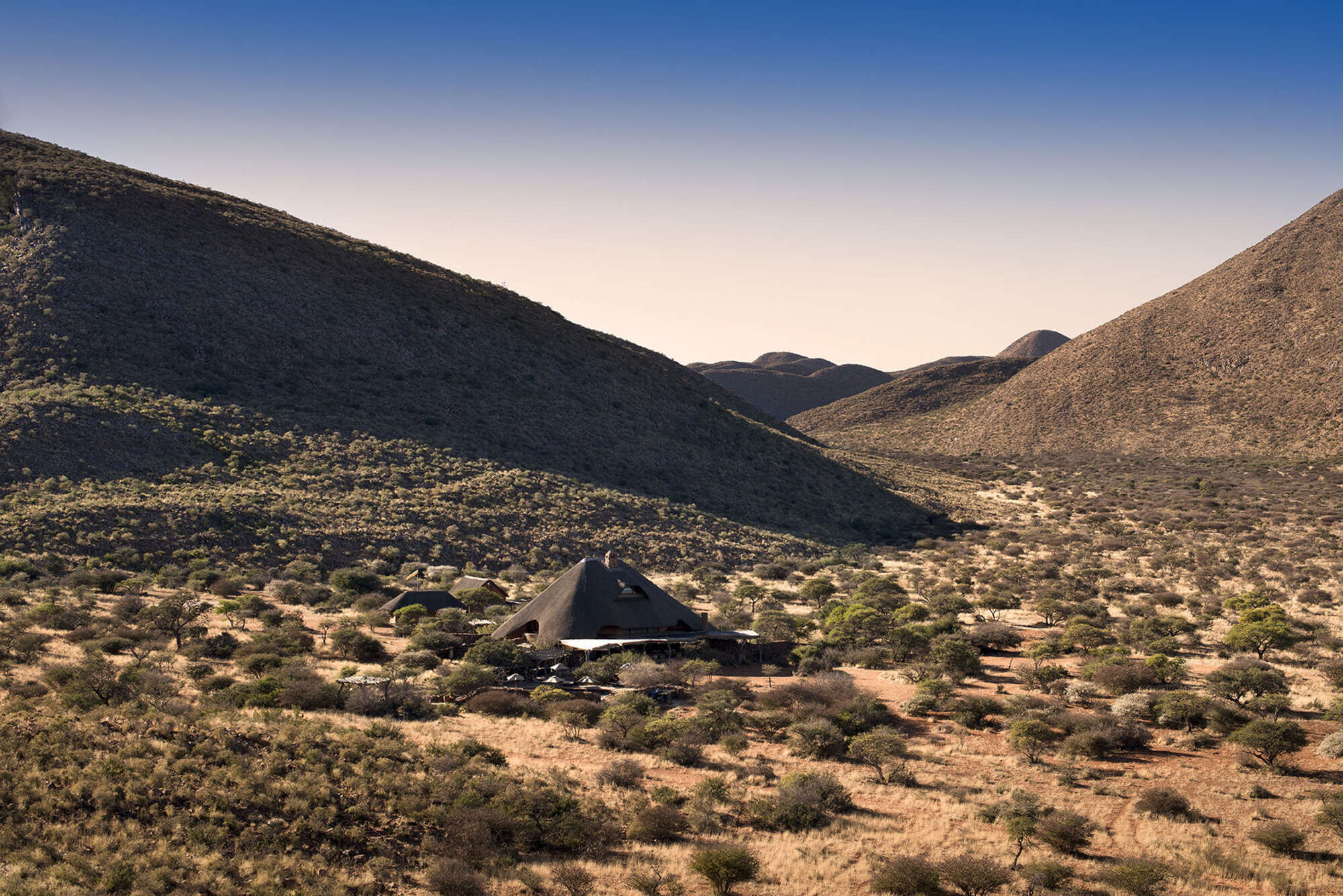
About Urikaruus Wilderness Camp
Situated in the eastern part of the Kgalagadi Transfrontier Park, Urikaruus Wilderness Camp has four cabins ...
... built on stilts that overlook the dry Auob riverbed.
Urikaruus is one of the most popular camps in the Kgalagadi National Park and as such gets fully booked up a year in advance. Forward planning is needed to stand any chance of getting a cabin in this lovely camp.
Our view
Urikaruus is one of the most popular camps in the Kgalagadi National Park and as such gets fully booked up a year in advance. Forward planning is needed to stand any chance of getting a cabin in this lovely camp.

Country manager: South Africa
Traveller reviews of Urikaruus Wilderness Camp
10 real, un-edited reviews from Expert Africa's travellers.
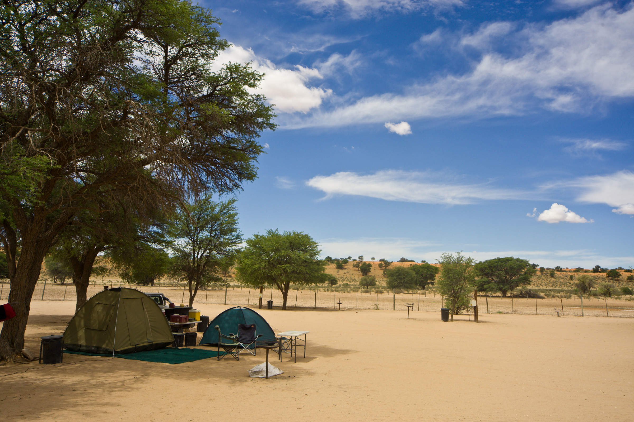
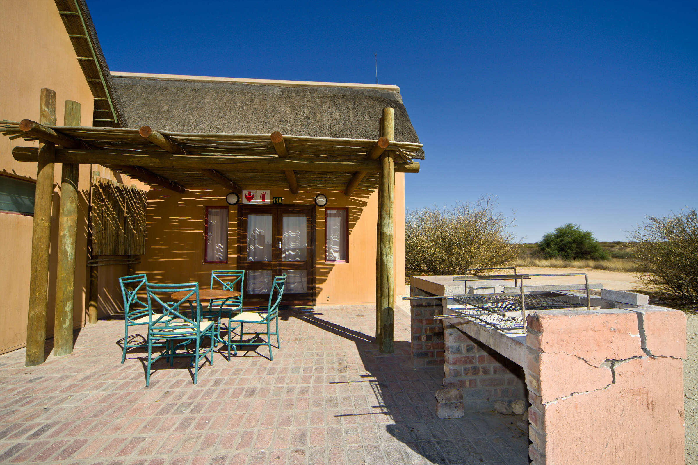
Expert Africa's gallery
When we travel we take lots of photos ourselves to give you a real and un-edited view of the safaris. See our 3 pictures of Urikaruus Camp to get the candid view.
View galleryUrikaruus Wilderness Camp: Our full report
Situated in the eastern part of the Kgalagadi Transfrontier Park, Urikaruus Wilderness Camp has four cabins ...
... built on stilts that overlook the dry Auob riverbed.
We are in the process of updating our information on this camp; please call us for further information.
Activities
Families & children
- Attitude towards children
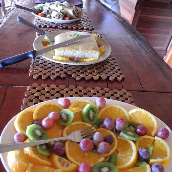
Food & drink
- Usual board basis
- Room Only
- Food quality
- Only self-catering facilities are available here.
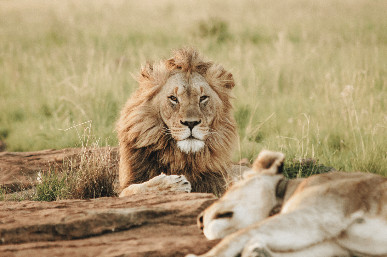
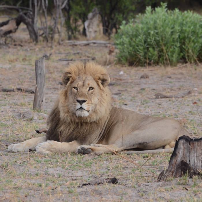
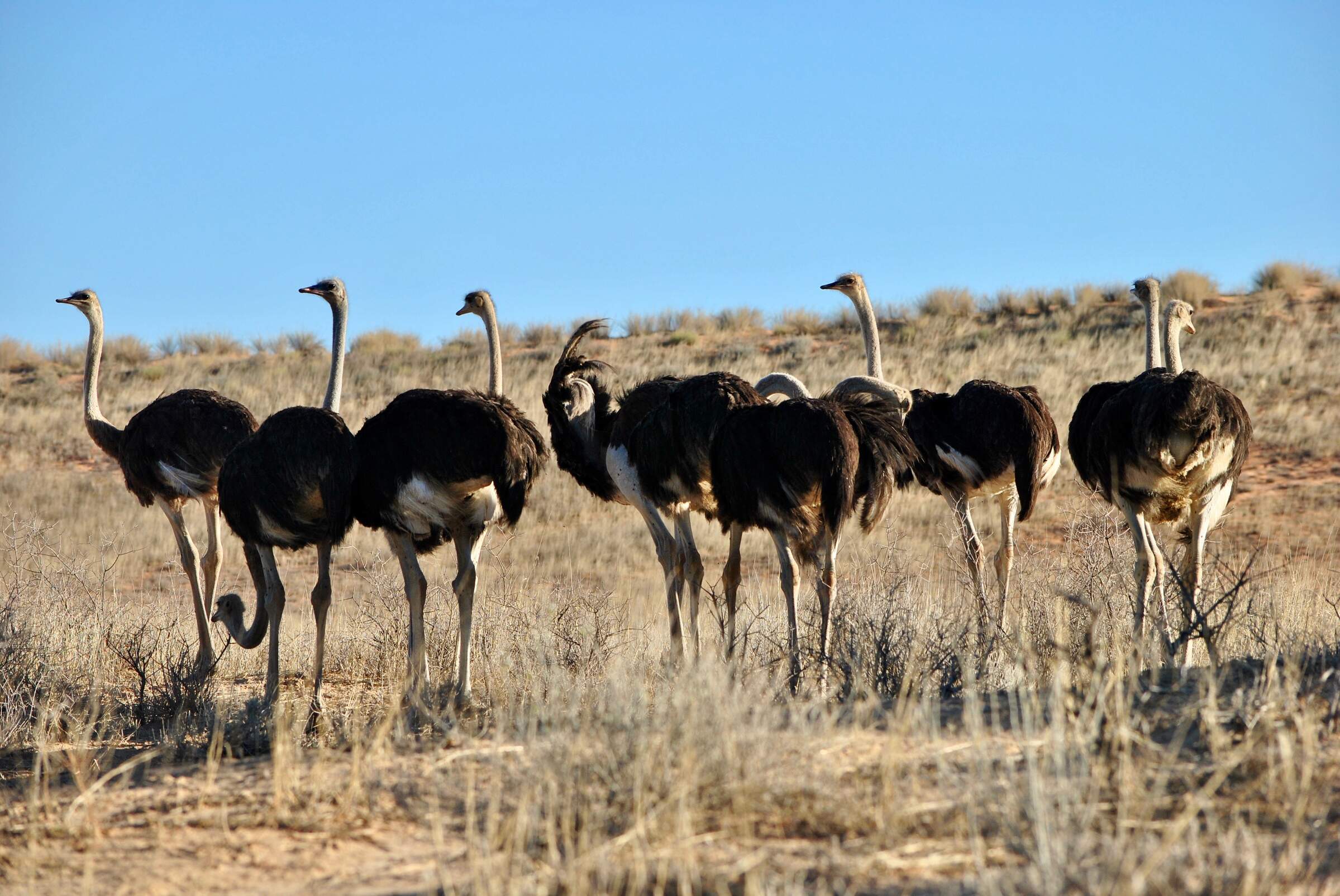
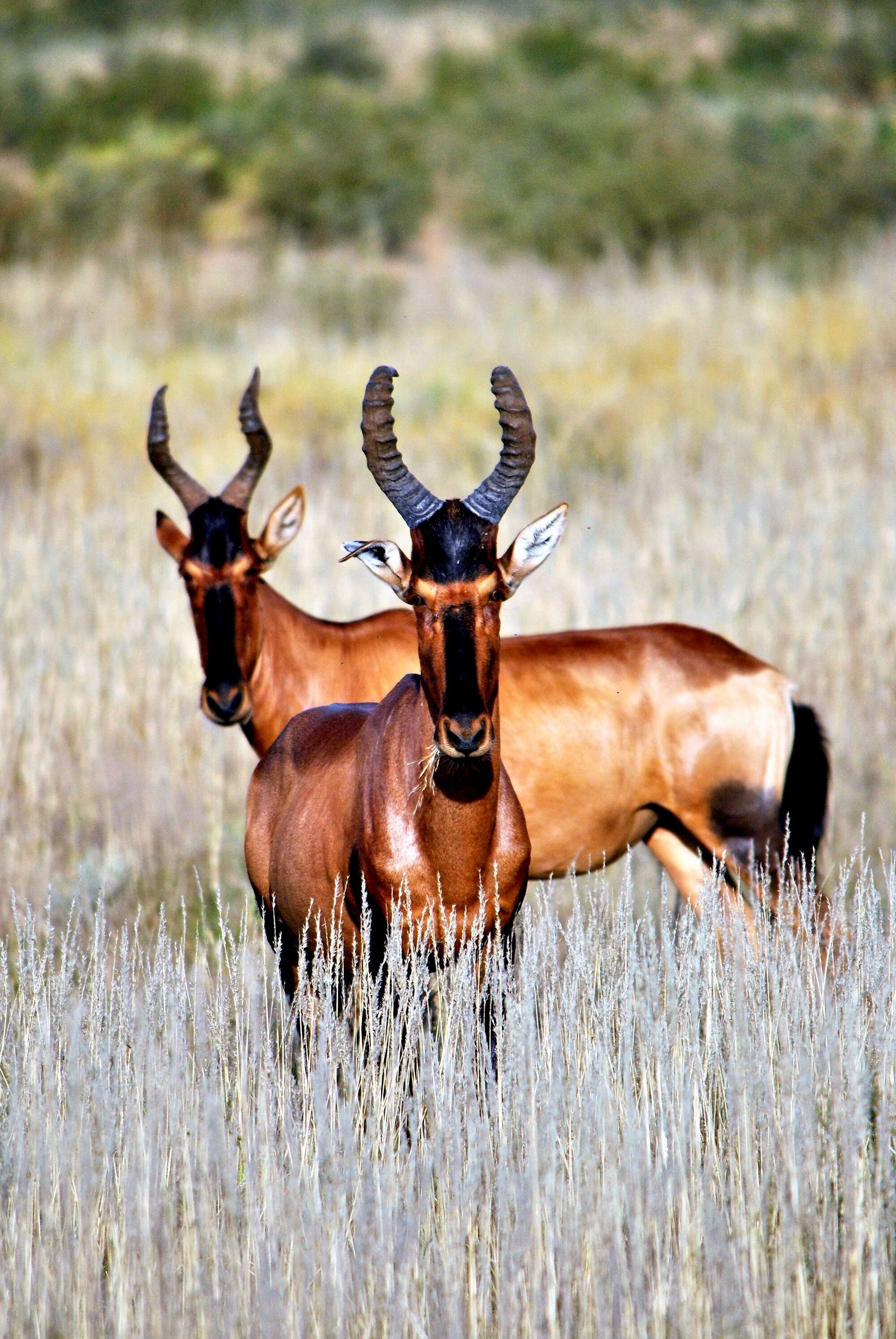
Our travellers’ wildlife sightings from Urikaruus Camp
Since mid-2018, many of our travellers who stayed at Urikaruus Wilderness Camp have kindly recorded their wildlife sightings and shared them with us. The results are below. Click an animal to see more, and here to see more on our methodology.

100% success

100% success

100% success

100% success

100% success

100% success

100% success

100% success

100% success

0% success

0% success

0% success

0% success
Getting there
- Location
- Kgalagadi Transfrontier Park, South Africa
- Ideal length of stay
- Two nights
- Accessible by
- Self-drive
Health & safety
- Dangerous animals
- High Risk
- Fire safety
Useful info
- Disabled access
- Laundry facilities
- 0
Plan and book your trip with Expert Africa
All of our trips are tailor-made, so we'll always adapt them to suit you. Talk to an Expert and let us plan and arrange your perfect trip.

Talk to an Expert
Call or email us now! We’ll match you with the Specialist in our team who is best suited to help you. Then together we can start planning your trip.

Set up your itinerary
Based on our experience and your ideas, your specialist will create a detailed, costed itinerary. We’ll refine it together, until we have a trip that you’re perfectly happy with.

Prepare for your trip
The same Specialist will make the seamless arrangements for your trip, send you detailed travel documents, and be available to answer any questions before you depart.

Travel with peace of mind
After you set off, you’ll be cared for by our partners in Africa, most of whom have worked with Expert Africa for decades. And if you ever need us urgently, we’re available 24/7.

When you return
We love to learn about your trip, and so will always be grateful if you’ve the time to give feedback to your Specialist when you return.
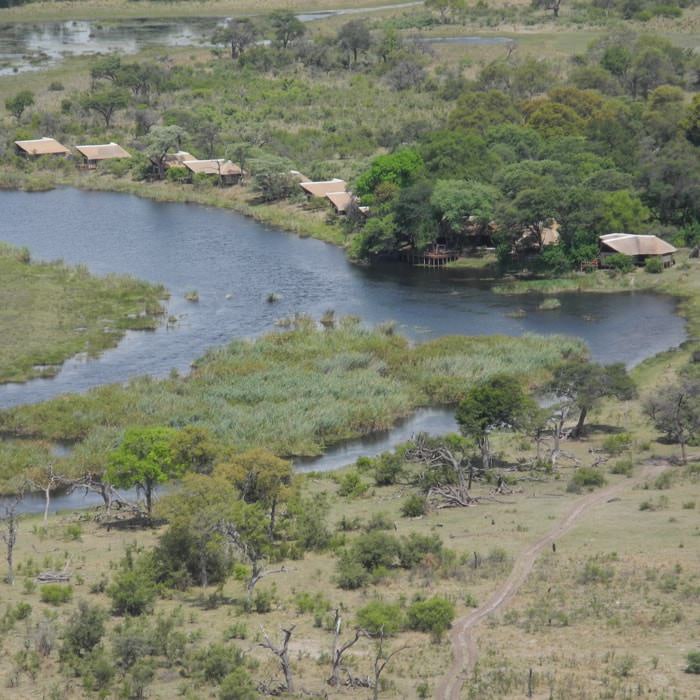
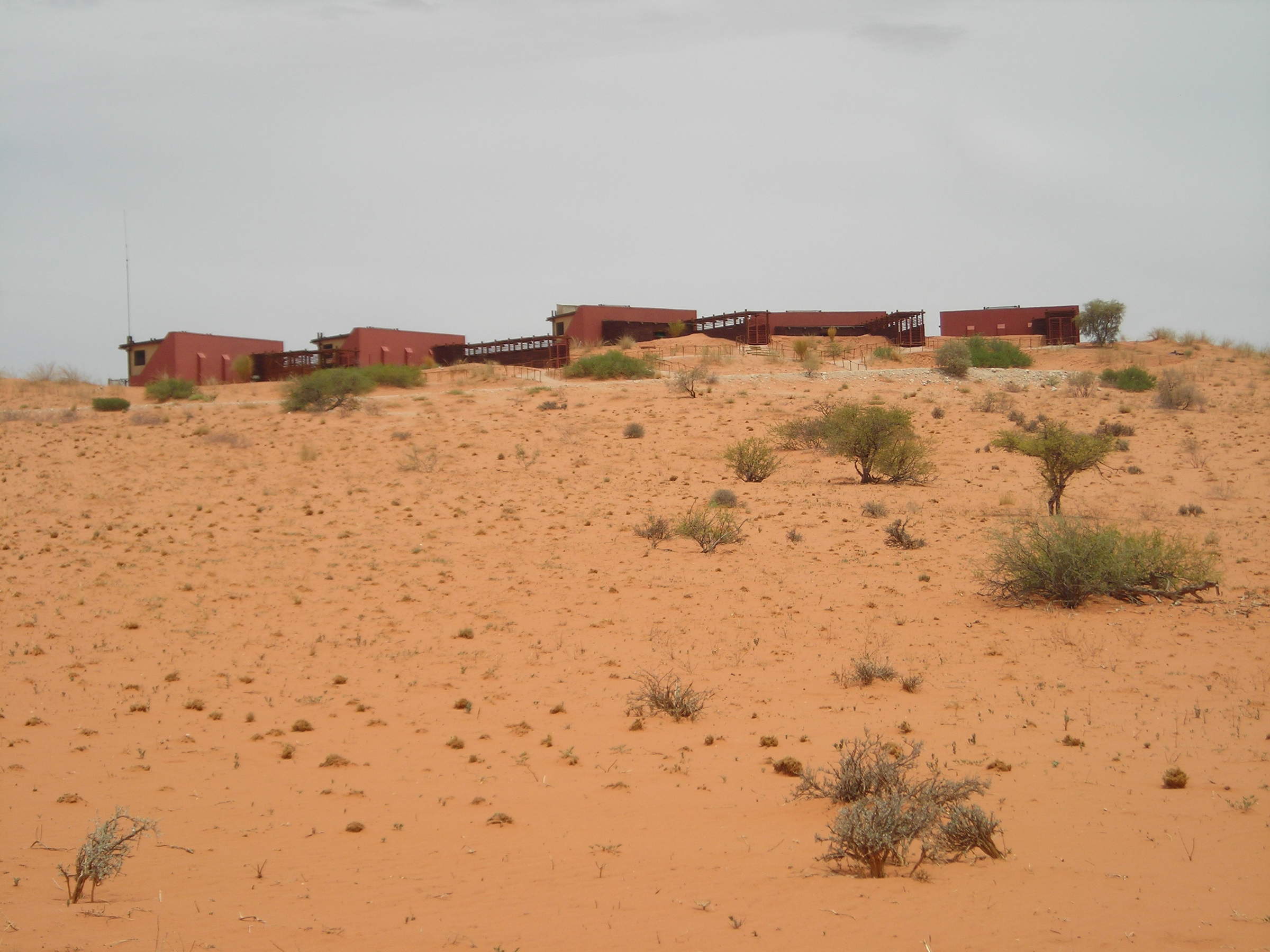
Urikaruus Wilderness Camp's location
Look closer at the environment and surroundings of Urikaruus Camp.
Other lodges in Kgalagadi Transfrontier Park
Alternative places to stay in this same area.
Twee Rivieren
The Kgalagadi's largest restcamp, Twee Rivieren is the centre for the park's administration, and an obvious stop for food and fuel for self-driving visitors.
Kalahari Tented Camp
Kalahari Tented Camp, with self-catering accommodation, is an unusual and well positioned base for exploration of the Kgalagadi Transfrontier Park.
Ta Shebube Rooiputs
One of just three private lodges in the Kgalagadi, Ta Shebube Rooiputs offers a well-appointed base from where you can explore this delightful National Park.
Mata Mata Rest Camp
On the western border of the Kgalagadi Transfrontier Park, Mata Mata Restcamp offers camping and simple self-catering chalets, great for adventurous travellers on self-drive explorations of this park.
Nossob Rest Camp
A basic but very well positioned rest camp within the heart of the Kgalagadi Transfrontier Park. Simple self-catering accommodation is available as well as camping options
Gharagab Camp
Gharagab Wilderness Camp is located in a remote corner of the Kgalagadi Transfrontier Park, which is wonderful if you like wilderness areas. However, access takes time - so it's not the best base for exploring the park.
Bitterpan Camp
Bitterpan is a basic self-catering camp in the Kgalagadi's central dune-field; it suits experienced self-drivers comfortable with remote travel.
Grootkolk Camp
Grootkolk Wilderness Camp has quirky sand-bag self-catering accommodation and simple amenities, offering a comfortable place to stay while exploring the north western Kgalagadi Transfrontier Park.
!Xaus Lodge
!Xaus Lodge mixes guided wildlife safaris with very good community interactions, suiting those who prefer not to drive and cater for themselves.
Ta Shebube Polentswa
Although accessed via South Africa, Ta Shebube Polentswa is situated just across the border, in a private concession on the Botswana side of the Kgalagadi Transfrontier Park
Kielie Krankie Camp
Perched high atop a huge red sand dune, the small Kielie Krankie wilderness camp it is well positioned for accessing both east and west sides of the Kgalagadi National Park.
Molopo Lodge
Less than an hours' drive from the Kgalagadi, this makes a good base near to the park if you're arriving late in the afternoon.
The Motse at Tswalu
Tswalu Motse is a smart lodge located in the Tswalu Game Reserve, the largest private reserve in South Africa.
When to go to Kgalagadi Transfrontier Park
Our month by month guide: What it's like to visit Urikaruus Camp in Kgalagadi Transfrontier Park
Jan
Feb
Mar
Apr
May
Jun
Jul
Aug
Sep
Oct
Nov
Dec
South Africa in January
January is considered one of the best months to travel. In Cape Town the weather is hot and generally dry. The Garden Route is also excellent at this time of the year but has a more temperate climate, with slightly lower temperatures and rain can fall at any time of the year. In the Kgalagadi temperatures often top 40°C and short, sharp thunderstorms are also fairly frequent. Wildlife tends to disperse, although birding is excellent.
As this is the high season in the Cape there are numerous events, festivals and outdoor activities to attract visitors. Accommodation books up quickly and it may be necessary to book at least a year in advance. Reservations will often be needed for restaurants and visitor attractions too.
- Hot, largely dry days with clear skies – except on Garden Route
- Wildlife disperses in the Kalahari but birding excellent
- Events, festivals and outdoor activities staged for the high season
- The high season in the Cape, accommodation can cost up to 50% more
- Pre-booking of activities & attractions is essential
Our view
Fantastic: the very best time to visit
Weather in January
South Africa in February
In February conditions are largely the same as in January, although temperatures can be slightly higher, especially in the interior. The wind in Cape Town starts to ease off. Although the Garden Route can experience some rain, the days are pleasantly warm and largely dry.
The Kgalagadi remains very hot, but the birding is still excellent. Wildlife viewing can be tricky especially if there has been some rain, as the resulting long grass can obscure the animals.
For visitors it’s still the high season, but with the local school holidays over and residents back at work, it is less busy than December and January. Accommodation costs remain high and it’s still advisable to pre-book certain activities and restaurants.
- Hot, largely dry days with little cloud
- Wind starts easing in Cape Town
- Slightly less busy than December & January
- Accommodation costs remain high, activities still best pre-booked
Our view
Fantastic: the very best time to visit
Weather in February
South Africa in March
March is still a very good time to visit. Conditions remain dry and very warm in Cape Town, although temperatures start dropping off towards the end of the month. The wind has usually died right down.
The Kalahari remains very hot and in years of good rains vegetation is at its most lush – making wildlife viewing tricky.
Typically, the crowds dwindle, but it can get very busy if Easter falls in March. It is also worth bearing in mind that during major events in March, including the Cape Town Cycle Tour, Cape Epic Mountain Bike Tour, The Cape Town Carnival and the International Jazz Festival, accommodation can get very full.
Attractions remain busy but booking is less essential.
- Temperatures start falling towards the end of the month
- Cape Town hosts a number of world class sport and cultural events
- Wildlife in the Kgalagadi disperses, game viewing more challenging
- Crowds diminish as the high season comes to an end
- Accommodation can get busy during major events
Our view
Fantastic: the very best time to visit
Weather in March
South Africa in April
April is South Africa’s “shoulder” season and is often the most pleasant. Not too hot, not too cold, some rain but not masses. In Cape Town and along the Garden Route days are usually sunny, warm, windless and largely dry, although in Cape Town the chance of rain increases from the end of the month.
In the Kgalagadi the rainy season is typically over and migratory birds are starting to make their journey back up North. Vegetation remains lush but wildlife viewing starts picking up towards the end of the month.
The region is still relatively busy (especially of its still Easter) but it gets quieter towards the end of the month thus availability improves. Accommodation rates start to decrease, and it becomes less important to book restaurants and attractions in advance.
- Temperatures still warm and very pleasant, with little wind.
- Rain starts easing in the Kalahari and migratory birds start to depart
- Less busy, especially towards the end of the month - busy over Easter
- Accommodation frees up and prices start to come down
Our view
A very good time to visit
Weather in April
South Africa in May
May marks the start of the dry season in the Kgalagadi. Days are warm and dry with almost zero rainfall. Night-time/early-morning temperatures can drop towards 0°C. Wildlife viewing is at its peak as animals concentrate around the few remaining water sources.
Days can still be warm and sunny in Cape Town and on the Garden Route, but the weather becomes a lot more variable. May heralds the start of the rainy season in Cape Town and the winelands. Night-time temperatures rarely drop below 10 degrees in the coastal areas.
With far fewer tourists, accommodation prices are at their lowest. There is rarely any need to pre-book activities, but reservations are still advisable at some of the top restaurants.
- Higher chance of rain in Cape Town & the Winelands
- Day time temperatures drop significantly
- Wildlife viewing peaks in the Kgalagadi
- Low season so rarely busy & very few crowds
- Low season rates at the hotels & lodges
Our view
A good time to visit, with pros & cons
Weather in May
South Africa in June
Winter is now in full swing. Maximum temperatures in Cape Town rarely reach 20°C and the rainy season is well under way. Outdoor activities therefore become limited, but a number of high-quality indoor events are organised.
The Garden Route has, in general milder weather and less rain than Cape Town.
June sees the arrival of the first whales which migrate to the South African coastline to give birth.
In the Kgalagadi, daytime temperatures are warm but nights and early mornings are bitterly cold. Wildlife viewing is excellent as animals are drawn to the few remaining permanent water points.
Overall tourist numbers are at their lowest, as are the costs of flights and accommodation.
- Cold & wet weather in Cape Town, Kgalagadi warm days but cold at night
- One of the best months for wildlife viewing in the Kgalagadi
- Whales start arriving to have their calves
- Low visitor numbers & no crowds
- Accommodation & flight prices remain low
Our view
A good time to visit, with pros & cons
Weather in June
South Africa in July
The winter weather continues with very cold nights and early mornings in the Kgalagadi and virtually no rainfall. Vegetation here is really thinning out now and water even more scarce – so wildlife is easy to spot.
Despite the winter and local school holidays, Cape Town remains a great place to visit. On a wet and cold day, the Two Oceans Aquarium, Zeitz Mocca (art museum) and the Cape Town Comedy Club all make for great days out, as does a trip to the wine country or the annual Oyster Festival at Knysna.
By mid-July most of the whales have arrived to give birth. Hermanus is the best place to see them.
At the height of the low season, so accommodation and flight prices remain low.
- Generally cold & wet in the Cape, but good quality indoor events
- Very good wildlife viewing in the Kgalagadi
- Oyster festival in Knysna
- Local school holidays can make places a little busier than usual
- Accommodation and flight prices remain low
Our view
A good time to visit, with pros & cons
Weather in July
South Africa in August
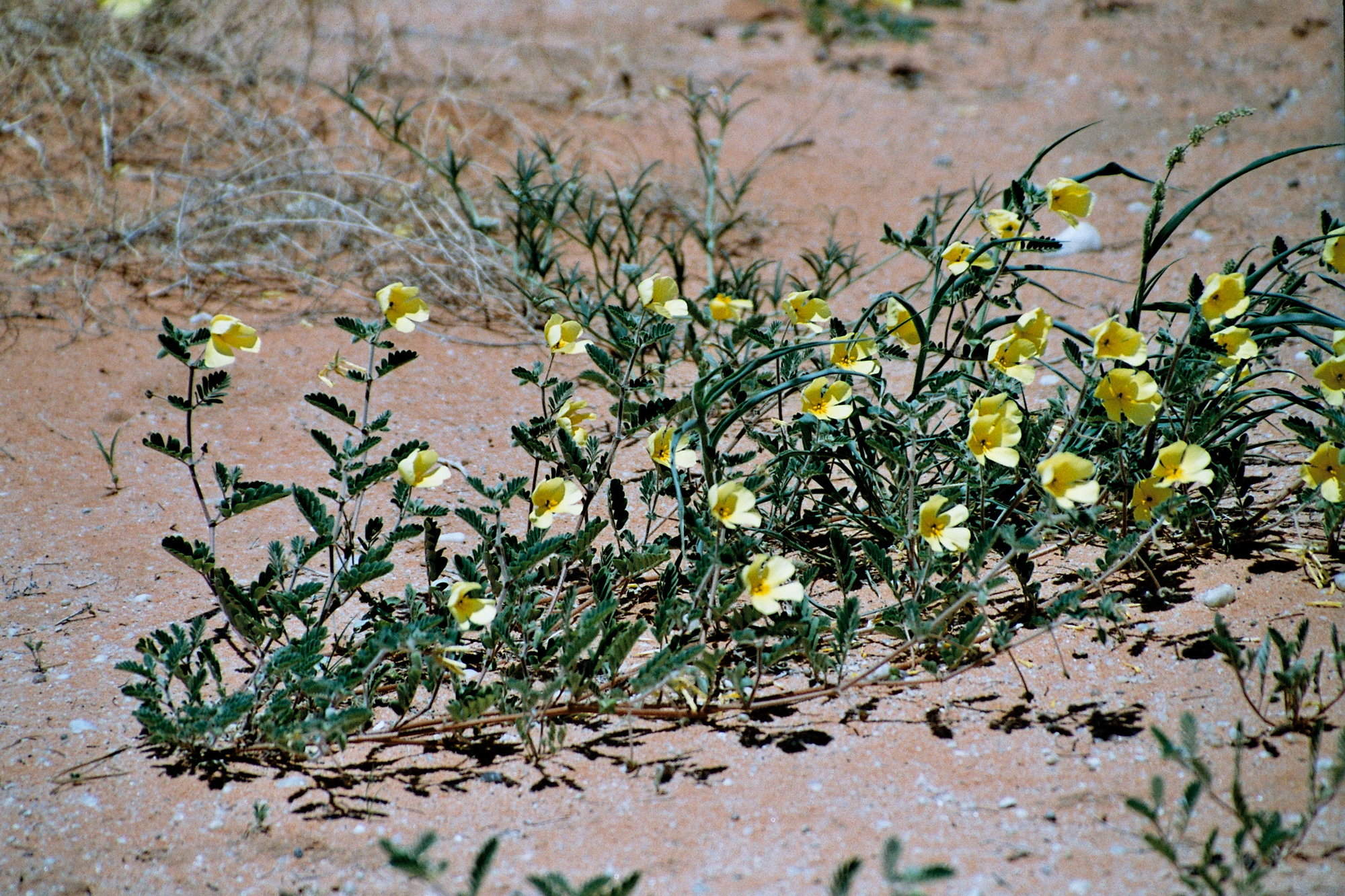
While August experiences mostly wintry weather it does mark the very beginning of spring with temperatures starting to rise. Visitors are drawn to the West Coast and Namaqualand to see the wildflowers, which start blooming in late August and can be seen until mid-September. Whales are still in abundance now too.
The Kgalagadi is now very dry and wildlife vieiwng is still good. Temperatures start climbing towards the end of the month.
Despite the weather , visitor numbers can be high as the northern hemisphere schools close for their summer holidays. It may be a good idea to book certain attractions and restaurants in advance.
Simlarly, although accommodation prices are still low, flight prices can be a little higher than in previous months.
- Temperatures start rising – but still potential for cold & wet weather
- Wildflowers on the West Coast & in Namaqualand
- Good wildlife viewing in the Kgalagadi
- Whales continue to attract visitors
- Can get busy due to northern hemisphere school summer holidays
Our view
A good time to visit, with pros & cons
Weather in August
South Africa in September
Good wildlife viewing in the Kgalagadi continues and daytime temperatures increase quite dramatically. Mornings and evenings are still on the chilly side, but not as cold as they are in June, July and August.
The 1st of September is officially the start of spring in Cape Town. Days become warmer but not quite warm enough to enjoy the city’s beautiful beaches. Venues all over Cape Town play host to various artists during the Cape Town Fringe Festival.
Rainy days are fewer, but night times can still get chilly. Many hotels are still charging low season rates making September great value for money.
Elsewhere, Hermanus hosts the popular annual Whale Festival, and in the West of the Cape, wildflowers continue to bloom until the middle of the month.
- The start of spring; temperatures start rising
- Whale festival in Hermanus
- Cape Town Fringe Ferstival attracts a wide range of artists
- Wildflowers blooming well until the middle of the month
- Good wildlife viewing continues in the Kgalagadi
Our view
A very good time to visit
Weather in September
South Africa in October
The weather starts warming up nicely, Cape Town experiences pleasant days, with much less rain, nights can still be quite cool, but not cold. Some days are now warm enough to enjoy the beach. This is one of the best months to visit the Cape Region.
October is one of the hottest months in the Kalahari. Water remains very scarce, so the wildlife viewing is still very good. Towards the end of the month the odd spectacular thunderstorm is possible with much lightning and thunder. Migratory birds start to arrive, and resident species gear up for the breeding season.
The whales are still present with Hermanus and False Bay the best places to see them.
- Days start warming up; fewer rainy days in Cape Town
- Very hot in the Kalahari – thunderstorms season starts
- Migratory birds start arriving & resident birds start breeding
- Whale watching still excellent in Hermanus and False Bay areas
- Start of the high season, getting busy and accommodation prices rise
Our view
A very good time to visit
Weather in October
South Africa in November
By November Cape Town is experiencing summer conditions with hot, clear days and warm, pleasant evenings. It’s a great month to enjoy the beaches before the peak holiday season in December. There are no real downsides to visiting in November and you may even get a few accommodation specials before prices go up for the festive season. Kirstenbosch Botanical Gardens begins their summer outdoor concerts with local and international artists performing.
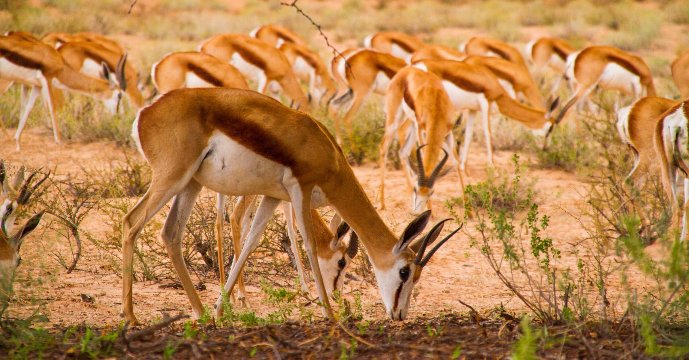
The Kgalagadi remains hot but thunderstorms are a bit more regular. With the rains, water sources become more plentiful and wildlife disperses but this is when herbivores such as Springbok start lambing. Photography improves as conditions become less hazy.
This is the last month for regular whale sightings – they tend to migrate back down south by early December.
- Summer now in full swing, with temperatures often reaching 30°C
- Rainy days scarce; evenings warm & very pleasant
- Antelope start lambing in the Kgalagadi; wildlife generally dispersed
- Last month for regular whale sightings
- Good time to visit Cape Town before the peak holiday season
Our view
Fantastic: the very best time to visit
Weather in November
South Africa in December
December is usually Cape Town’s hottest month when temperatures frequently breach 30°C. You can expect hot and cloudless days, and almost no rain but December does see the occasional very windy day.
The Kalahari is still hot, but temperatures are not quite as high as previous months. With the rainfall the bush transforms into various shades of green. Wildlife disperses as water become more widely available.
The Garden Route enjoys warm to hot days with rain at any time but usually not over an extended period.
Mid to late December becomes incredibly busy with concerts, festivals and various outdoor activities in Cape Town. Hotel prices rise, tourist attractions and beaches are crowded and most popular sites and restaurants need to be booked in advance.
- Long, hot sunny days
- Kgalagadi bursts into life as rainy season kicks in
- Wildlife viewing a bit trickier as wildlife disperses
- Cape Town buzzing with concerts, events, festivals etc
- Peak season: attractions get very busy & accommodation costs rise
Our view
Fantastic: the very best time to visit
Weather in December

Looking for inspiration on where to travel next?
Visit our trip chooser to explore your options and find inspiration for your perfect African adventure
Inspire me