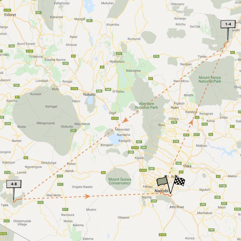
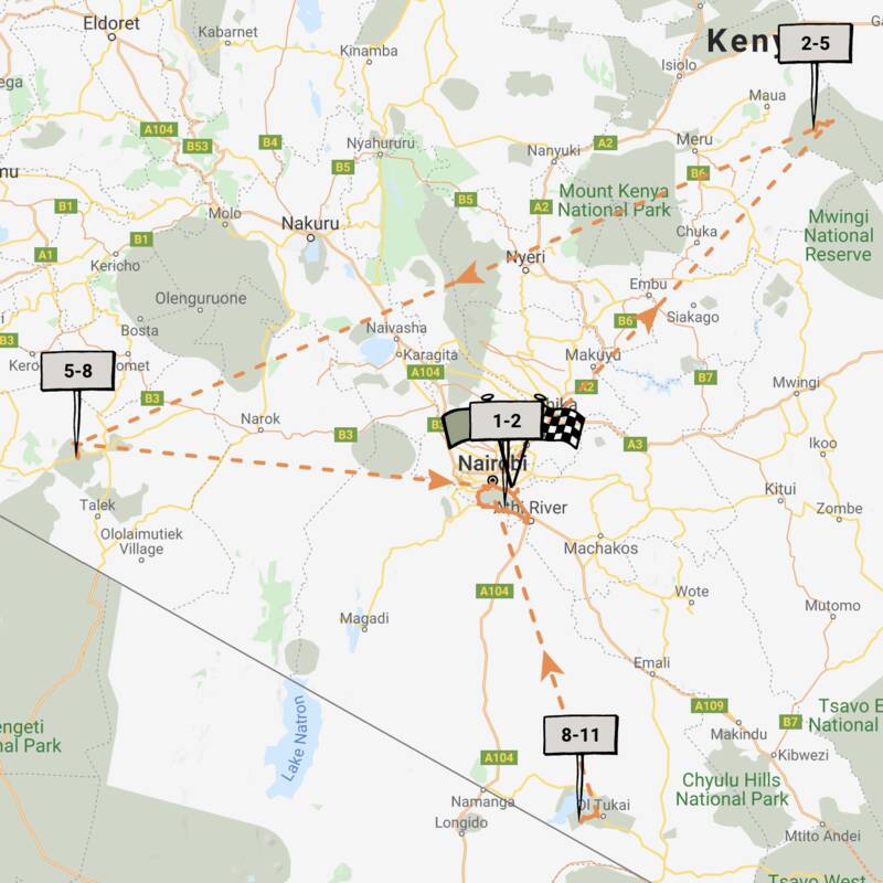
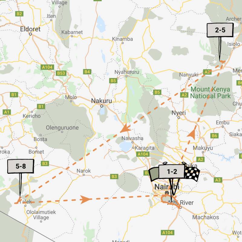
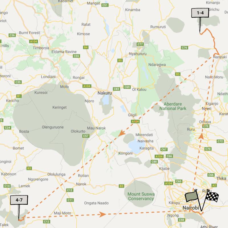
Map of Maasai Mara Conservancies
Maasai Mara Conservancies reference map
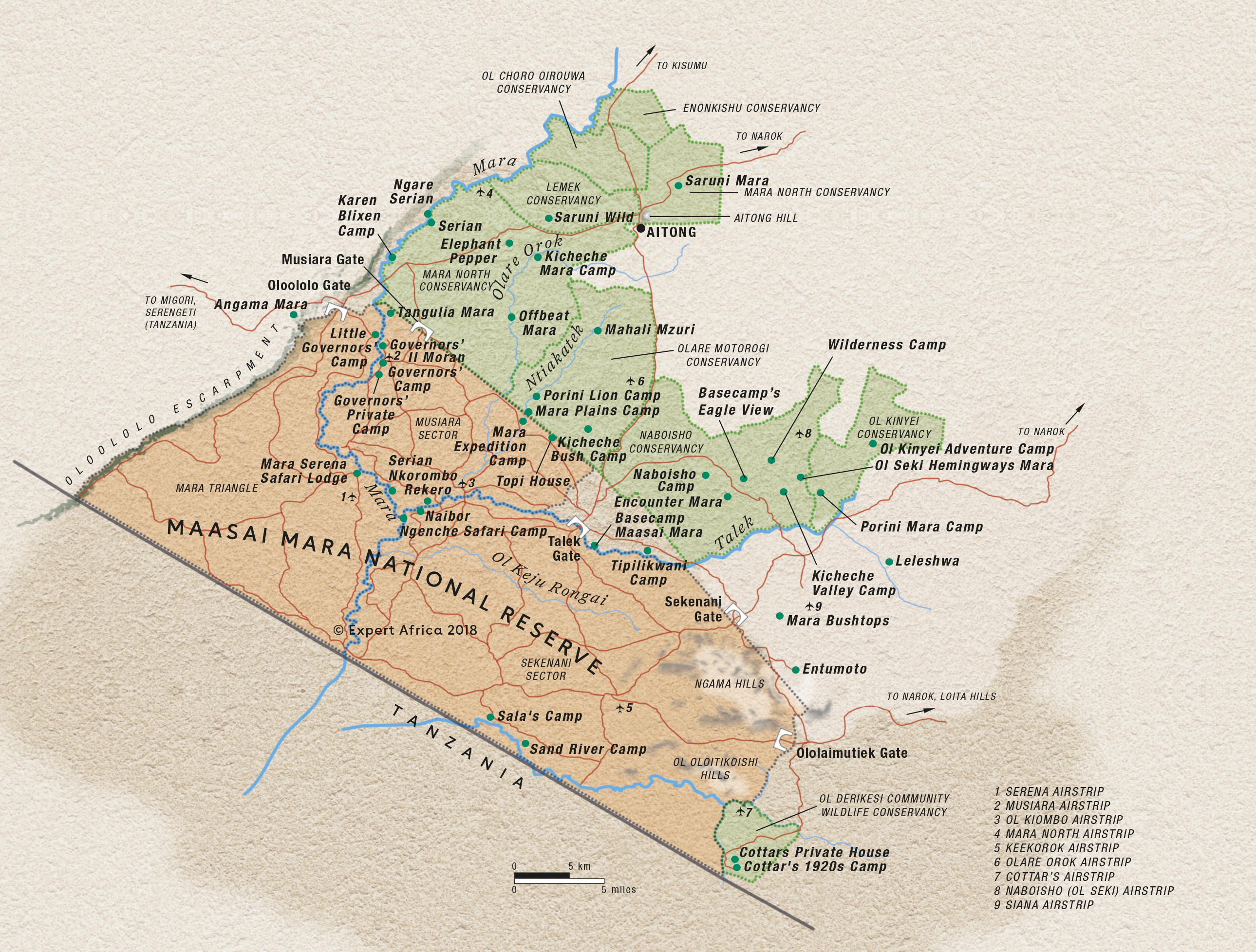
Google map of Mara Conservancies
This map/satellite image shows the whole Maasai Mara region. The map is centered over the small settlement of Talek, with the densely wooded Mara River curving south to the west, the Oloololo Escarpment in the far west and the Tanzanian border the diagnonal line to the south.
Safaris visiting Mara Conservancies
Just ideas, we'll always tailor-make a trip for you
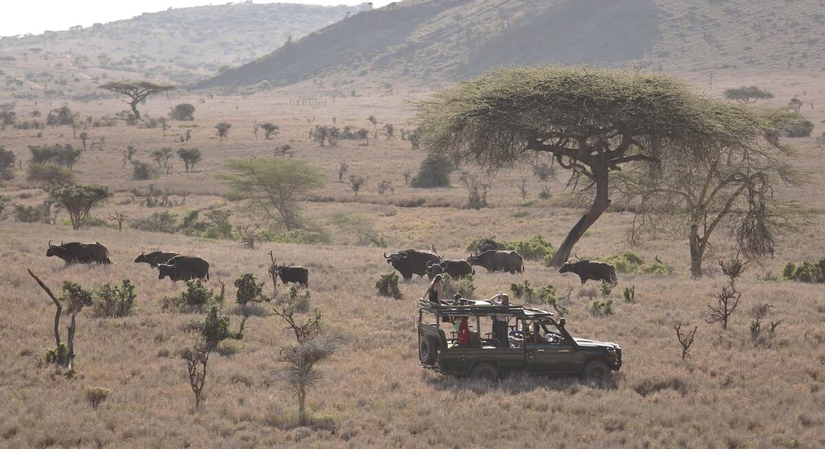
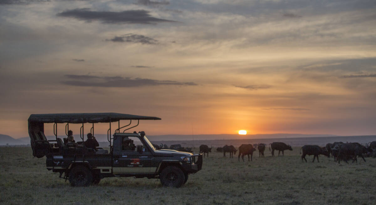
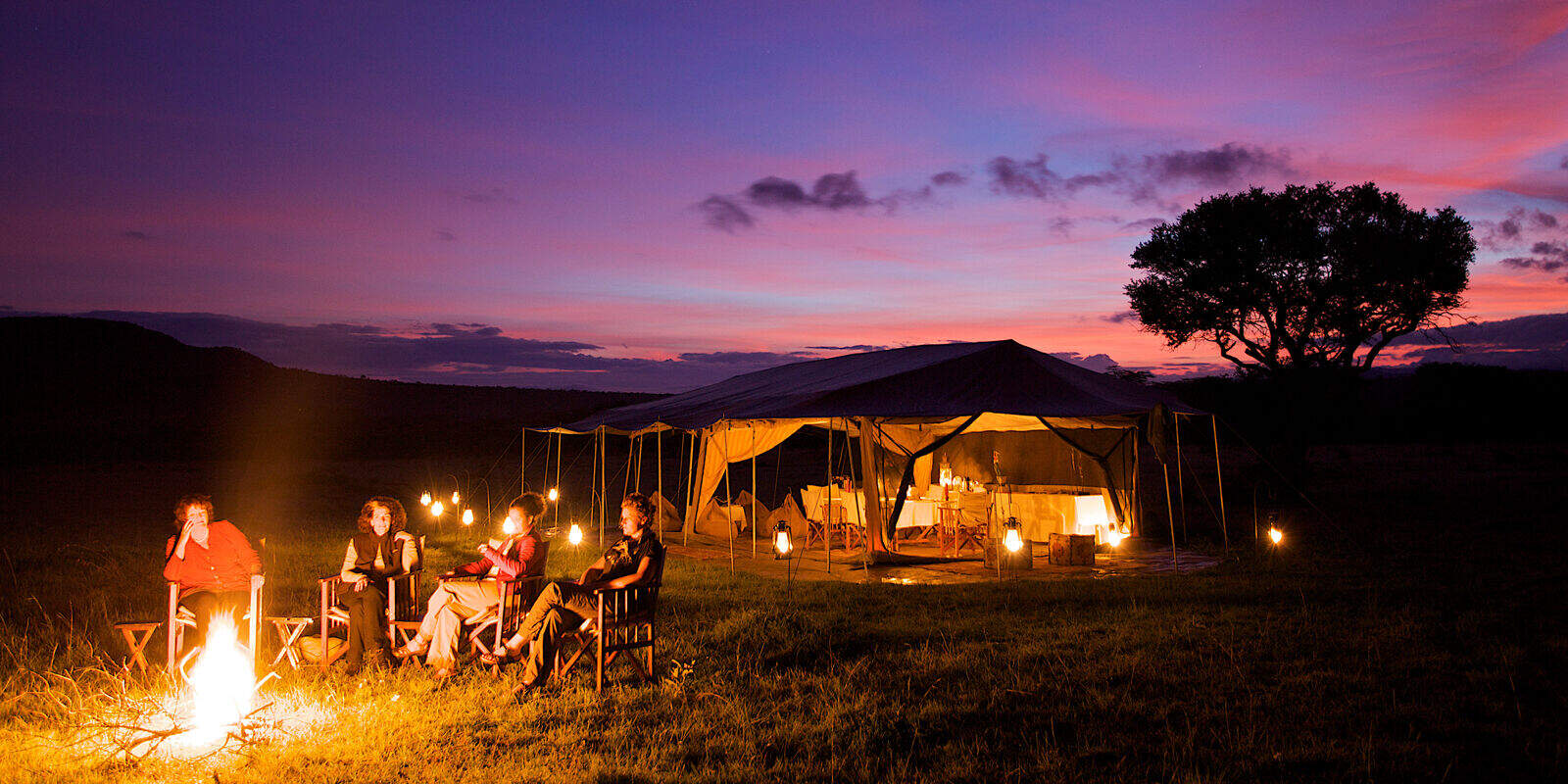
Striped Hyena Safari
5 days • 3 locations • 1 country
NAIROBI AIRPORT TO NAIROBI AIRPORT
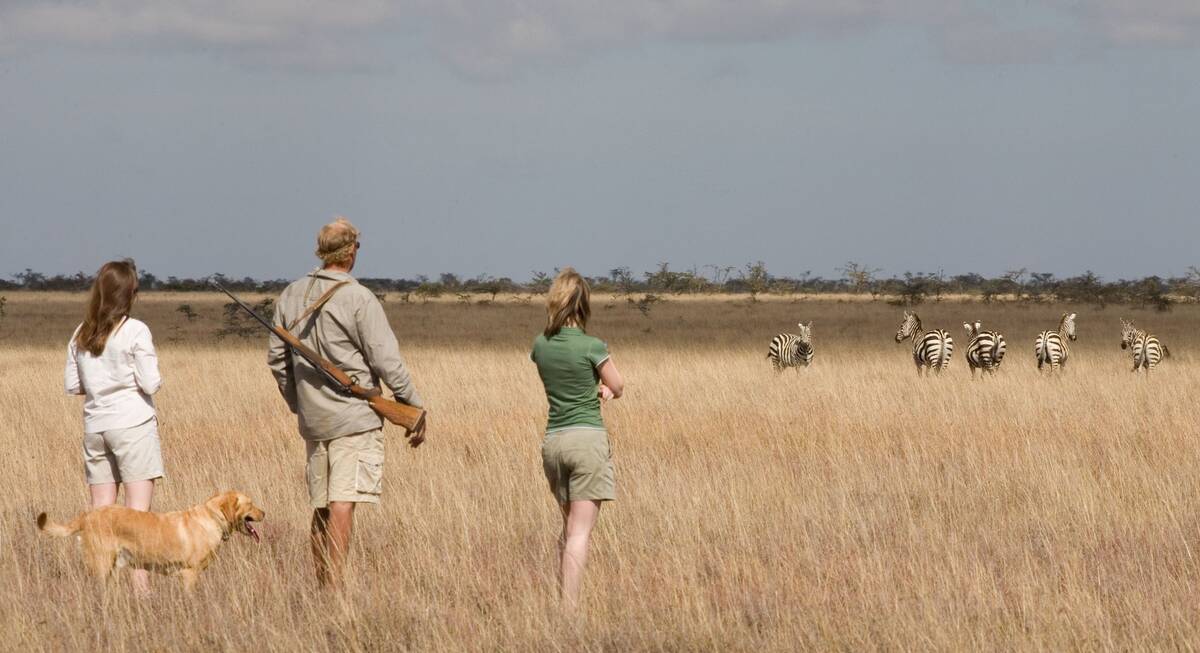
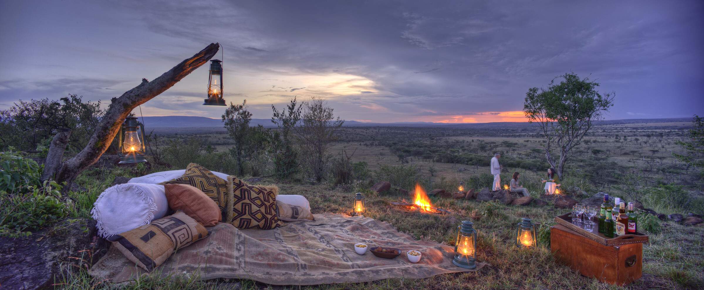
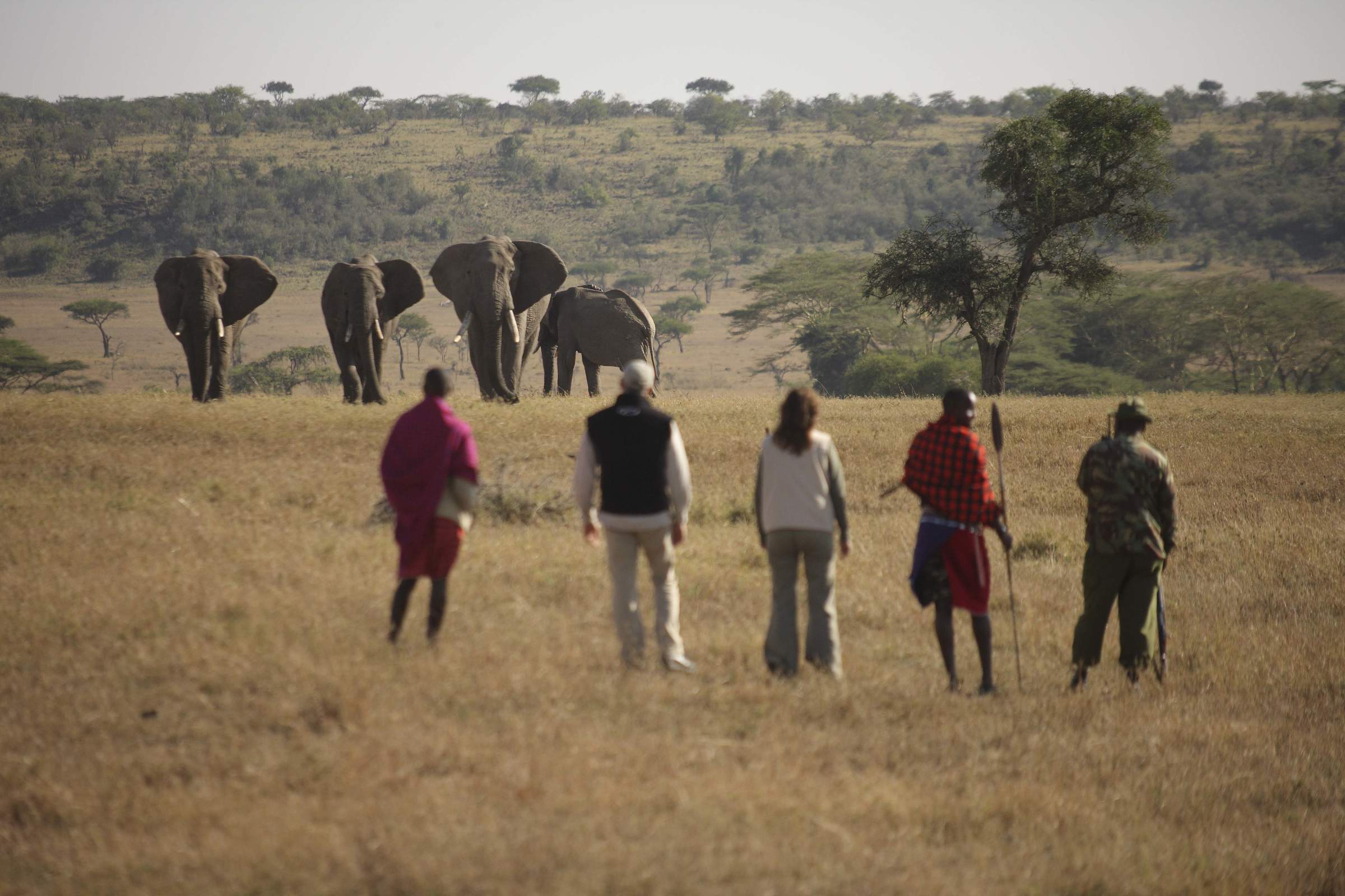
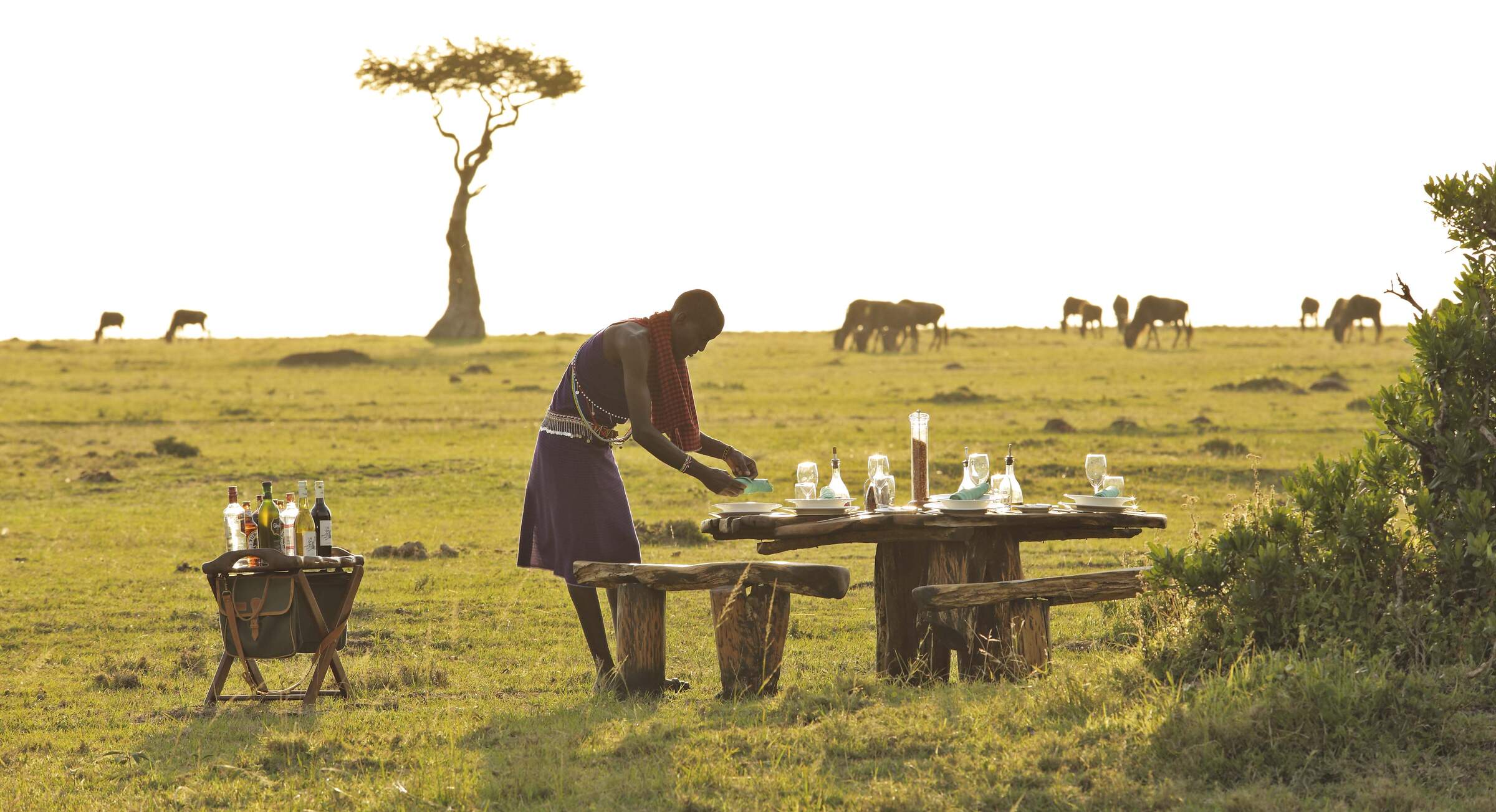
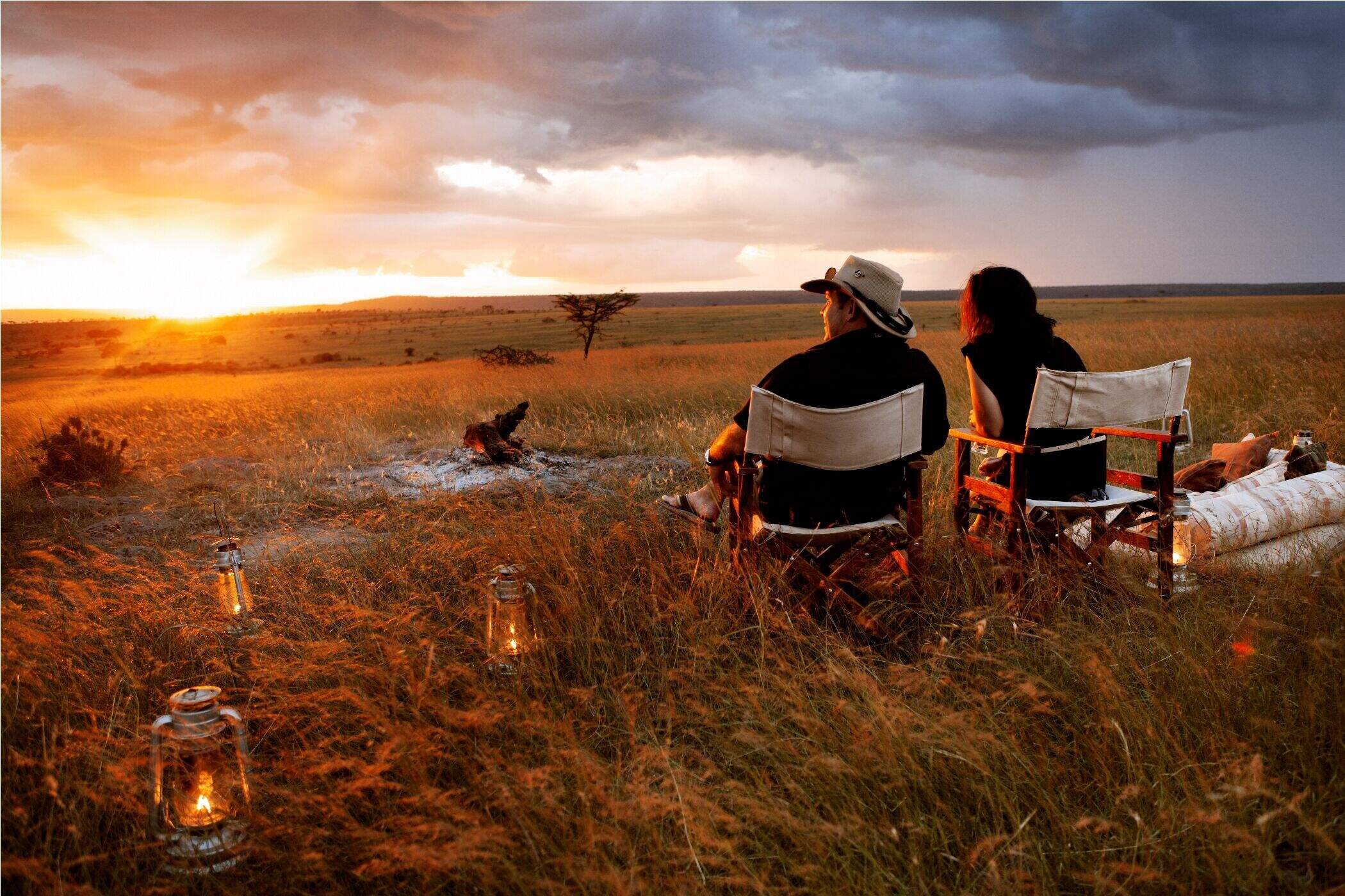
Just one example of a possible itinerary for keen walkers, this safari enables you to experience the sounds and sights of the bush, and its wildlife, in an unusually direct way.
Visiting Mara Conservancies
US$5,700 - US$6,990 per person
African Hawk-Eagle Fly-in Safari
7 days • 2 locations • 1 country
NAIROBI AIRPORT TO NAIROBI AIRPORT
Two luxurious camps provide relatively quiet game-viewing within Laikipia and the Mara ecosystem. Situated on private conservancies, both Lewa Wilderness and Naboisho offer the chance to sight all of the "Big 5" and to enjoy a range of safari activities.
Visiting Laikipia, Mara Conservancies
US$9,360 - US$16,430 per person
Hamerkop Fly-In Safari
8 days • 2 locations • 1 country
NAIROBI AIRPORT TO NAIROBI AIRPORT
Different wildlife, contrasting camps and a whole host of activities, this is a safari for those wanting to get out and about and not just sit in a vehicle.
Visiting Laikipia, Mara Conservancies
US$7,430 - US$10,960 per person
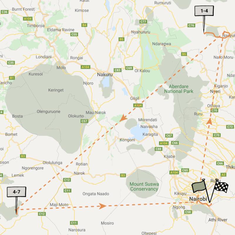
Tawny Eagle Fly-in Safari
7 days • 2 locations • 1 country
NAIROBI AIRPORT TO NAIROBI AIRPORT
Explore Laikipia and the Maasai Mara ecosystem with stays in the Ol Pejeta and Naboisho conservancies. Two smart yet authentically rustic bush camps provide a traditional safari experience, offering a high standard of guiding and excellent level of care.
Visiting Laikipia, Mara Conservancies
US$6,550 - US$8,630 per person
Purple Grenadier Fly-In Safari
6 days • 2 locations • 1 country
NAIROBI AIRPORT TO NAIROBI AIRPORT
Fantastic guiding from intimate, well-run mid-range tented camps, in superb conservancy locations: this safari is all about making the most of the incredible wildlife in Laikipia and the Maasai Mara.
Visiting Laikipia, Mara Conservancies
US$6,390 - US$8,800 per person
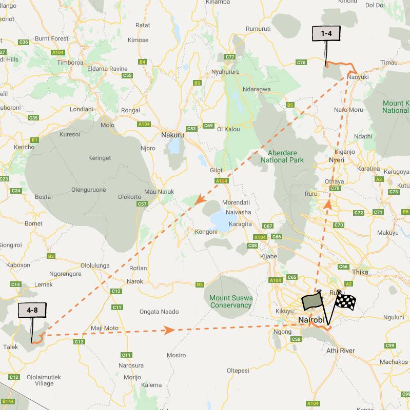
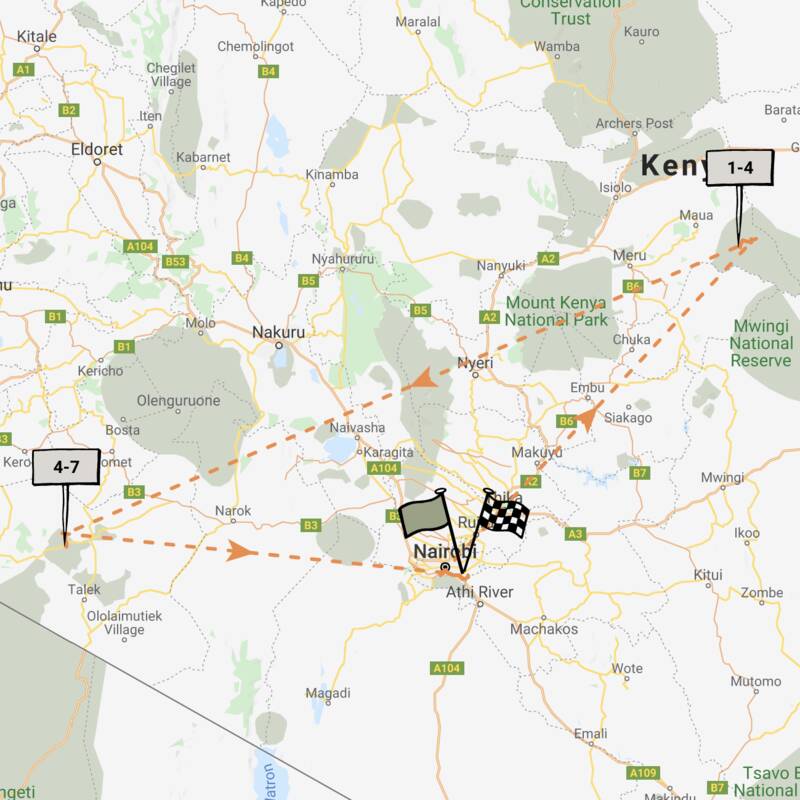
Black Kite Fly-in Safari
10 days • 4 locations • 1 country
NAIROBI AIRPORT TO NAIROBI AIRPORT
Explore Kenya in-depth with visits to Nairobi and Meru national parks, the Mara Conservancies and Amboseli. Nestled in remoter regions, four camps provide fantastic access to rich game, a range of activities and beautifully diverse landscapes.
Visiting Nairobi, Mara Conservancies and 2 other areas
US$10,410 - US$14,150 per person
African Finfoot Fly-in Safari
7 days • 3 locations • 1 country
NAIROBI AIRPORT TO NAIROBI AIRPORT
After a unique start in Nairobi National Park, classic, luxurious camps combine for a high-end and exclusive safari in fantastic wildlife destinations.
Visiting Nairobi, Laikipia and 1 other area
US$11,230 - US$17,340 per person
Peregrine Falcon Fly-In Safari
6 days • 2 locations • 1 country
NAIROBI AIRPORT TO NAIROBI AIRPORT
Discover two of Kenya’s quieter wildlife havens with visits to Meru National Park and Mara North Conservancy. Top-quality sister camps provide considerable comfort and a range of activities by which to explore the game-rich surroundings.
Visiting Mara Conservancies, Meru
US$7,840 - US$8,980 per person
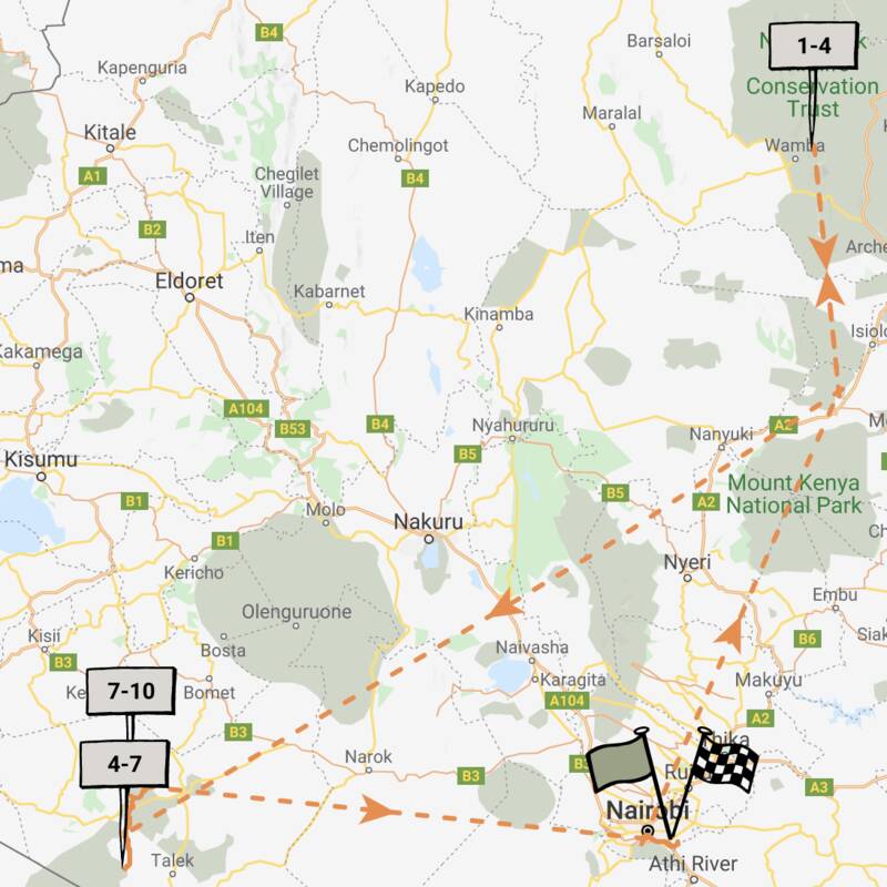
De Brazza Monkey Fly-in Safari
9 days • 3 locations • 1 country
NAIROBI AIRPORT TO NAIROBI AIRPORT
Enjoy a range of activities in the remote wilderness of northern Kenya before exploring the wildlife-rich plains of the Mara ecosystem. Private vehicles and guides heighten the personalisation of this highly immersive safari.
Visiting Northern Kenya, Mara Conservancies and 1 other area
US$13,540 - US$16,320 per person

Wahlberg's Eagle Fly-in Safari
6 days • 2 locations • 1 country
NAIROBI AIRPORT TO NAIROBI AIRPORT
A great value safari in Laikipia and the Maasai Mara that provides an immersive, authentic bush camp experience with activities for families of all ages.
Visiting Laikipia, Mara Conservancies
US$5,880 - US$6,450 per person

Looking for inspiration on where to travel next?
Visit our trip chooser to explore your options and find inspiration for your perfect African adventure
Inspire meWhere to stay in Mara Conservancies
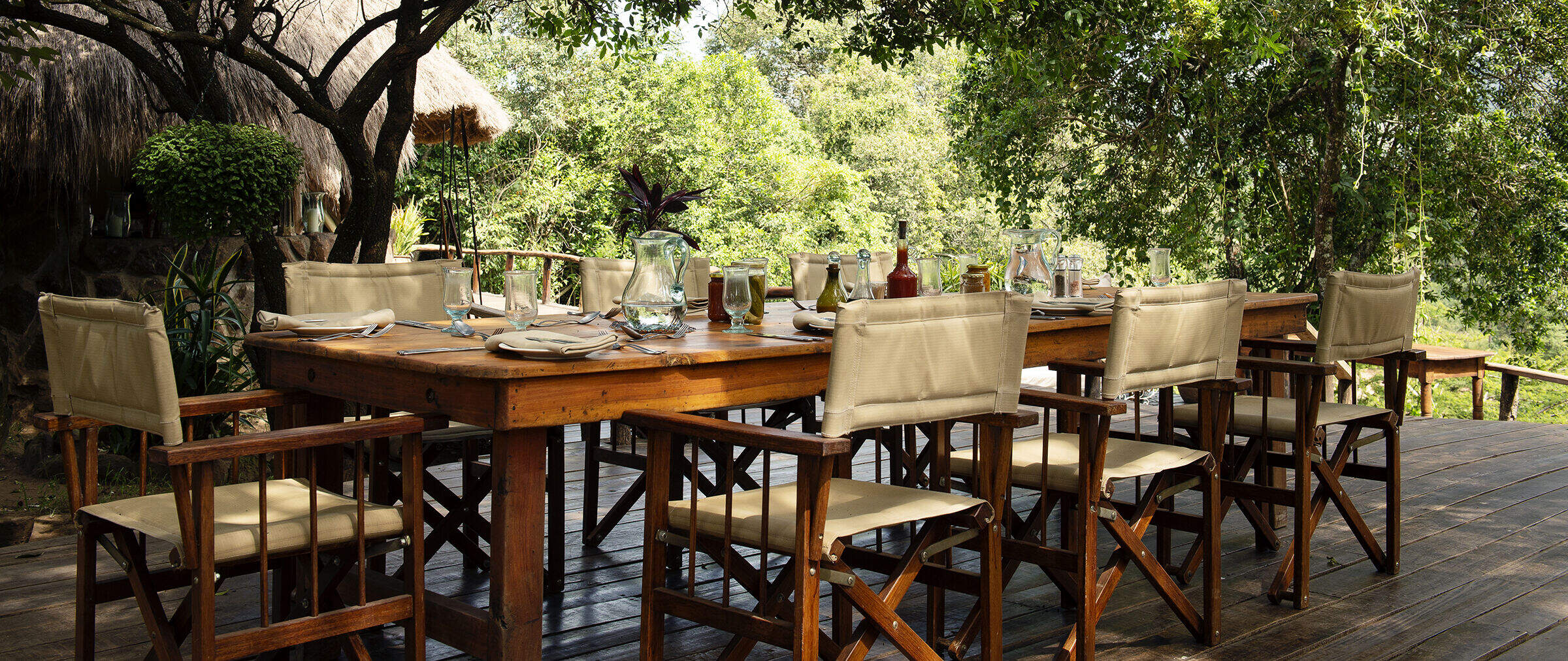
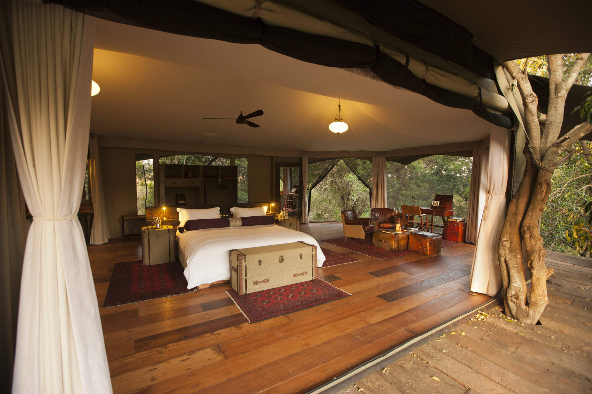
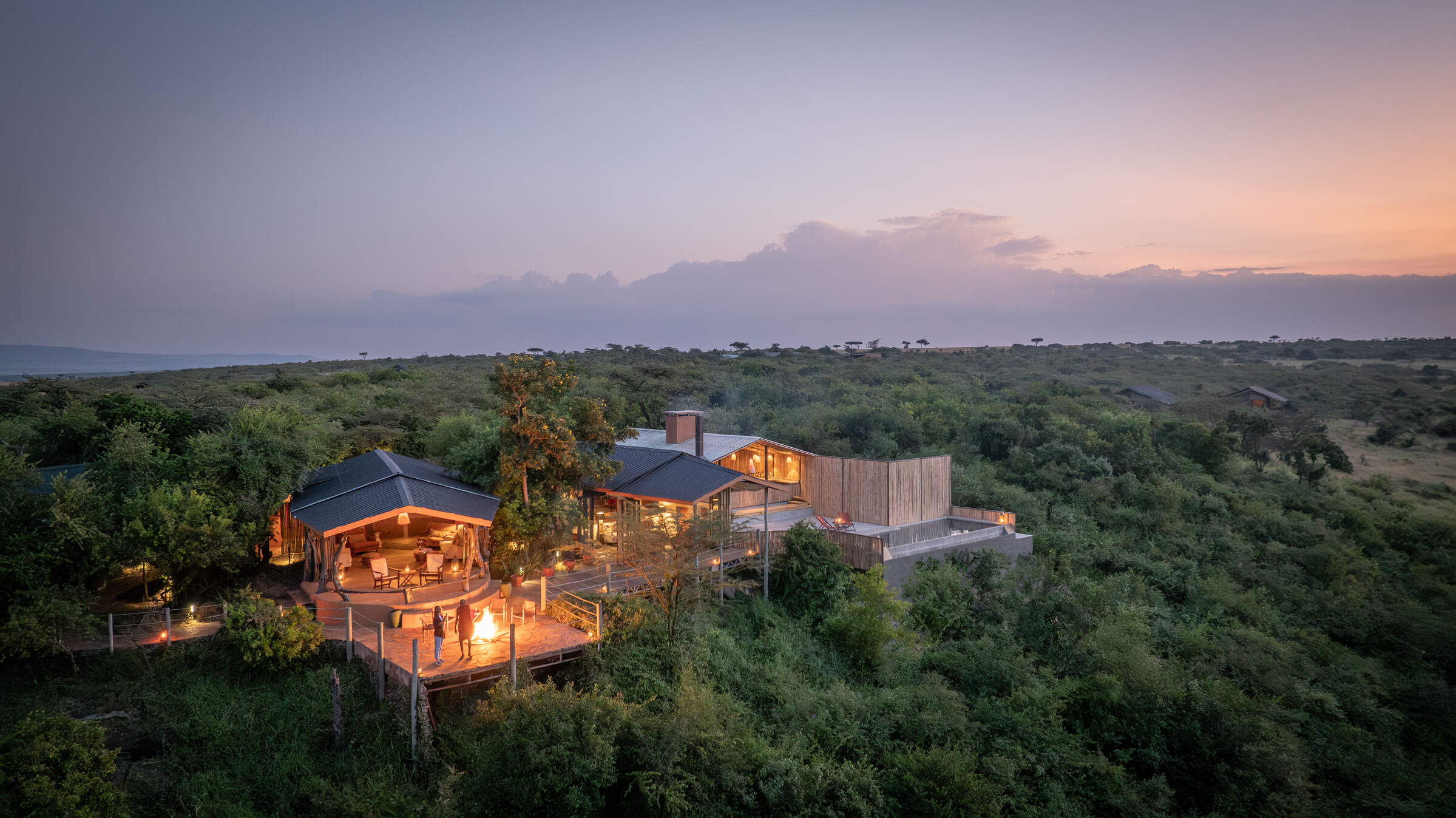
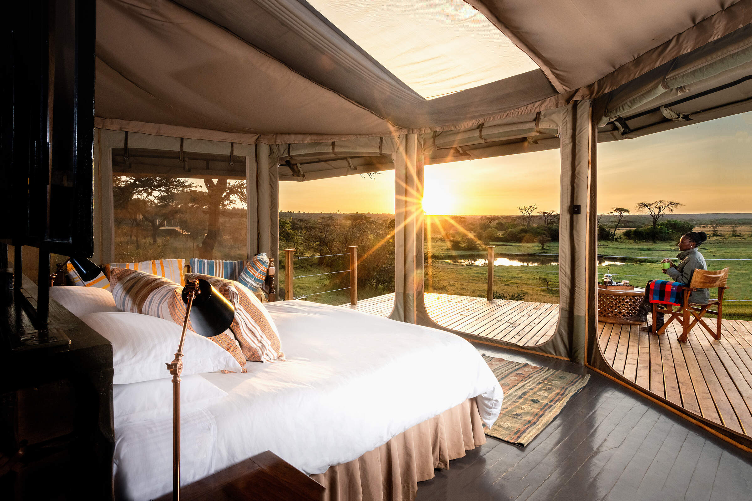
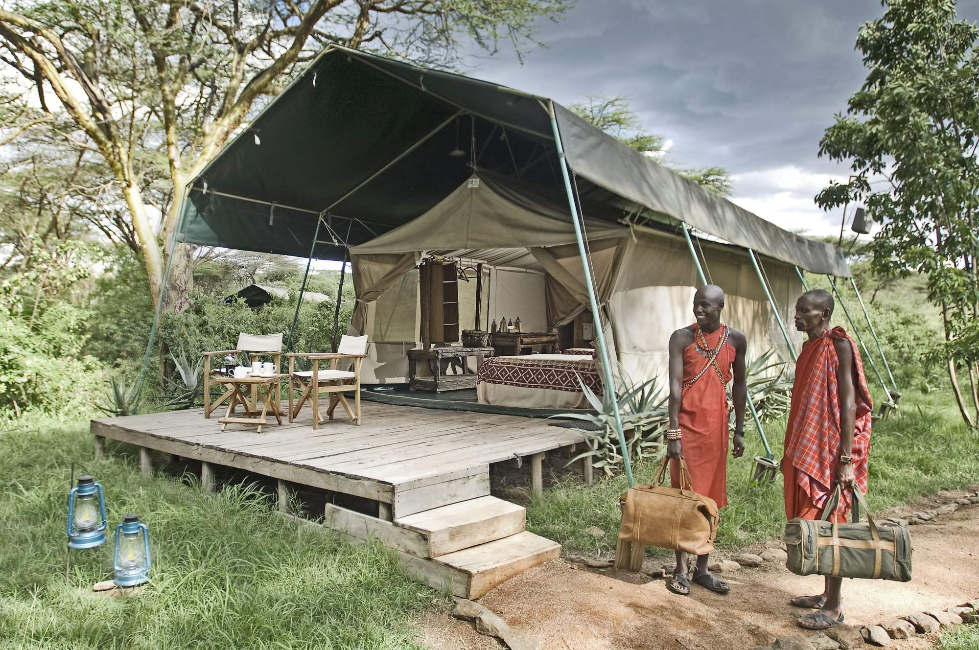
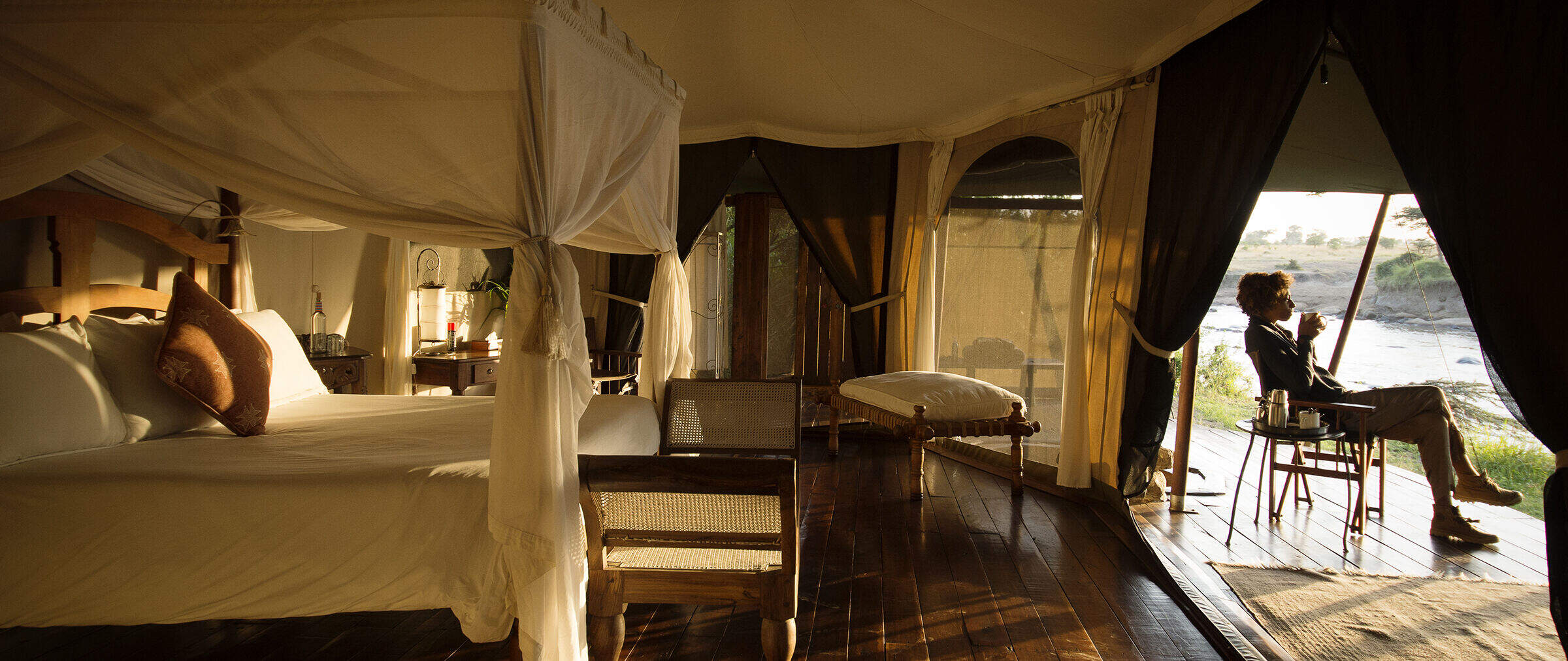
Our suggestions for safari camps in Maasai Mara Conservancies
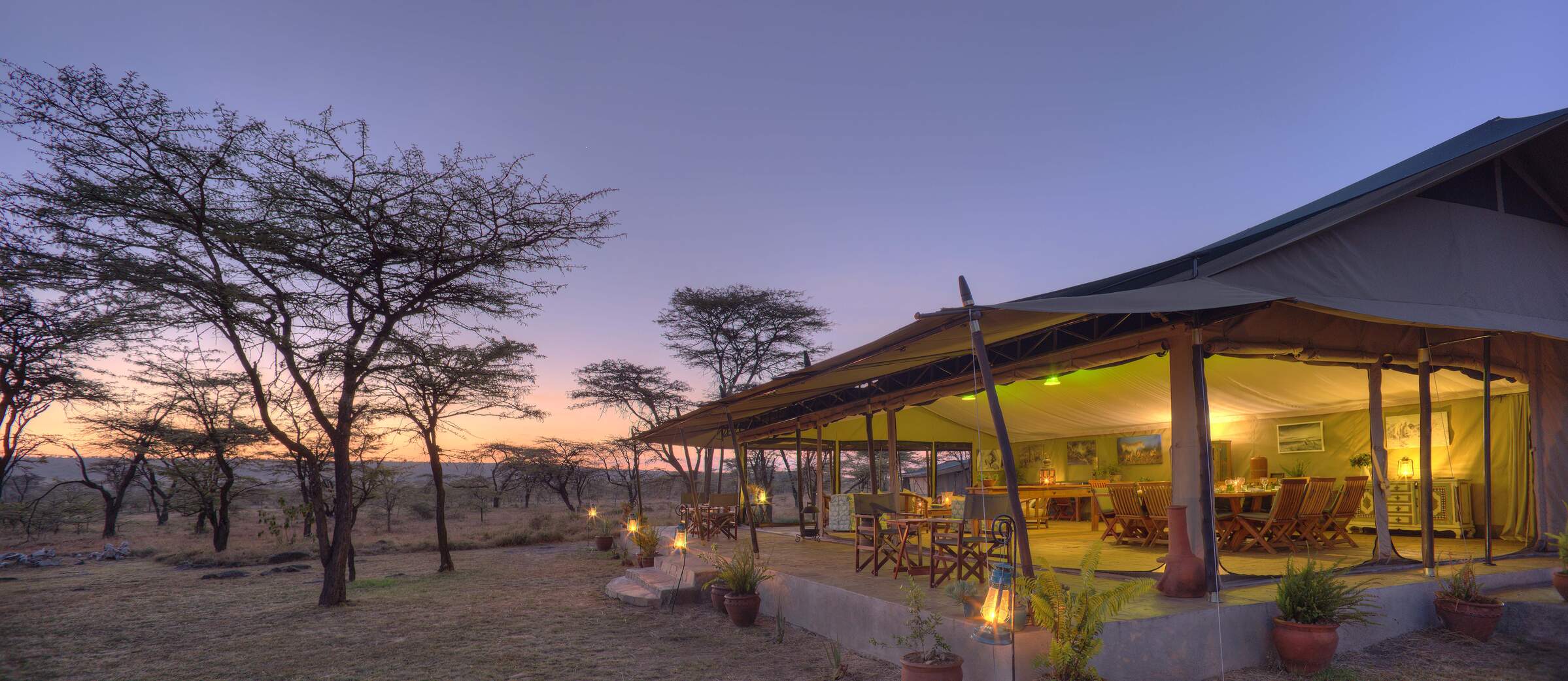
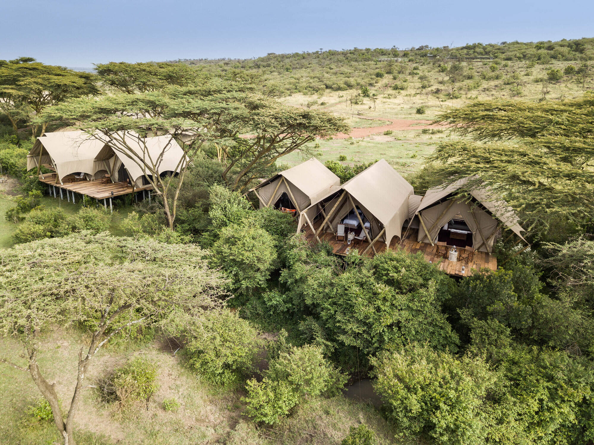
Kicheche Bush Camp
Kicheche Bush Camp is a smart and intimate tented camp with a relaxed atmosphere and the perfect base in the Mara for keen photographers.
Kicheche Mara
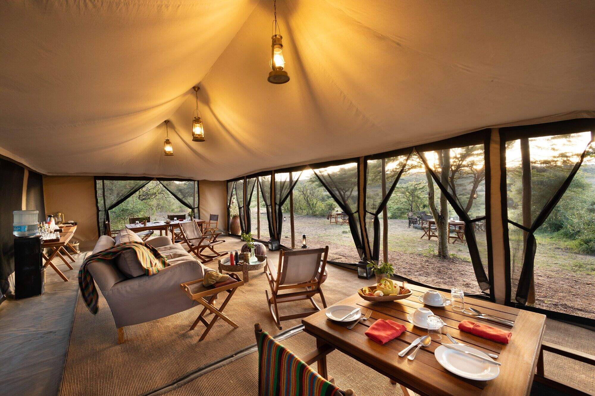
Kicheche Mara Camp has just ten tents and a rustic and comfortable feel. It is set by a stream in a pretty area of the Mara ecosystem's Mara North Conservancy.
Kicheche Valley
Kicheche Valley is a boutique tented camp in a wooded district of the Mara ecosystem's Naboisho Conservancy, with plenty of wildlife in the area.
Naboisho Camp
Naboisho Camp is one of the most luxurious of the handful of camps in the Naboisho Conservancy. It offers day and night game drives, game walks and full creature comforts in the bush.
Offbeat Mara
Offbeat Mara is a small traditional camp that appeals to safari traditionalists, located in one of the Maasai Mara’s quiet conservancies.
Encounter Mara
Encounter Mara is located in the private Naboisho Conservancy – a game-rich area of the Mara ecosystem – and offers a contemporary take on the traditional, low-impact luxury safari camp.
Elephant Pepper Camp
Elephant Pepper Camp is a small 10-tent bush camp, put together in the traditional "campaign" style, and including a large honeymoon/family tent.
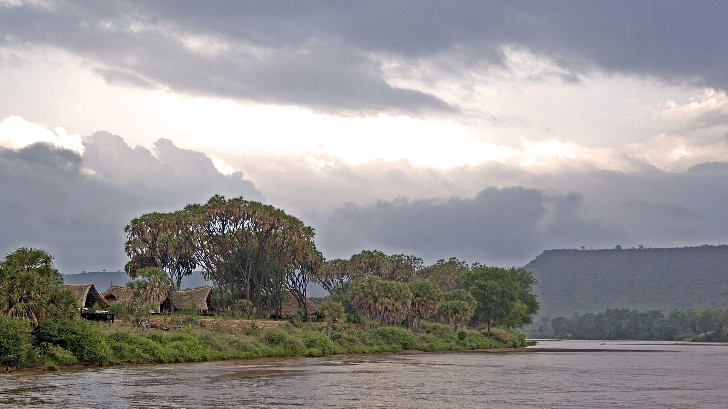
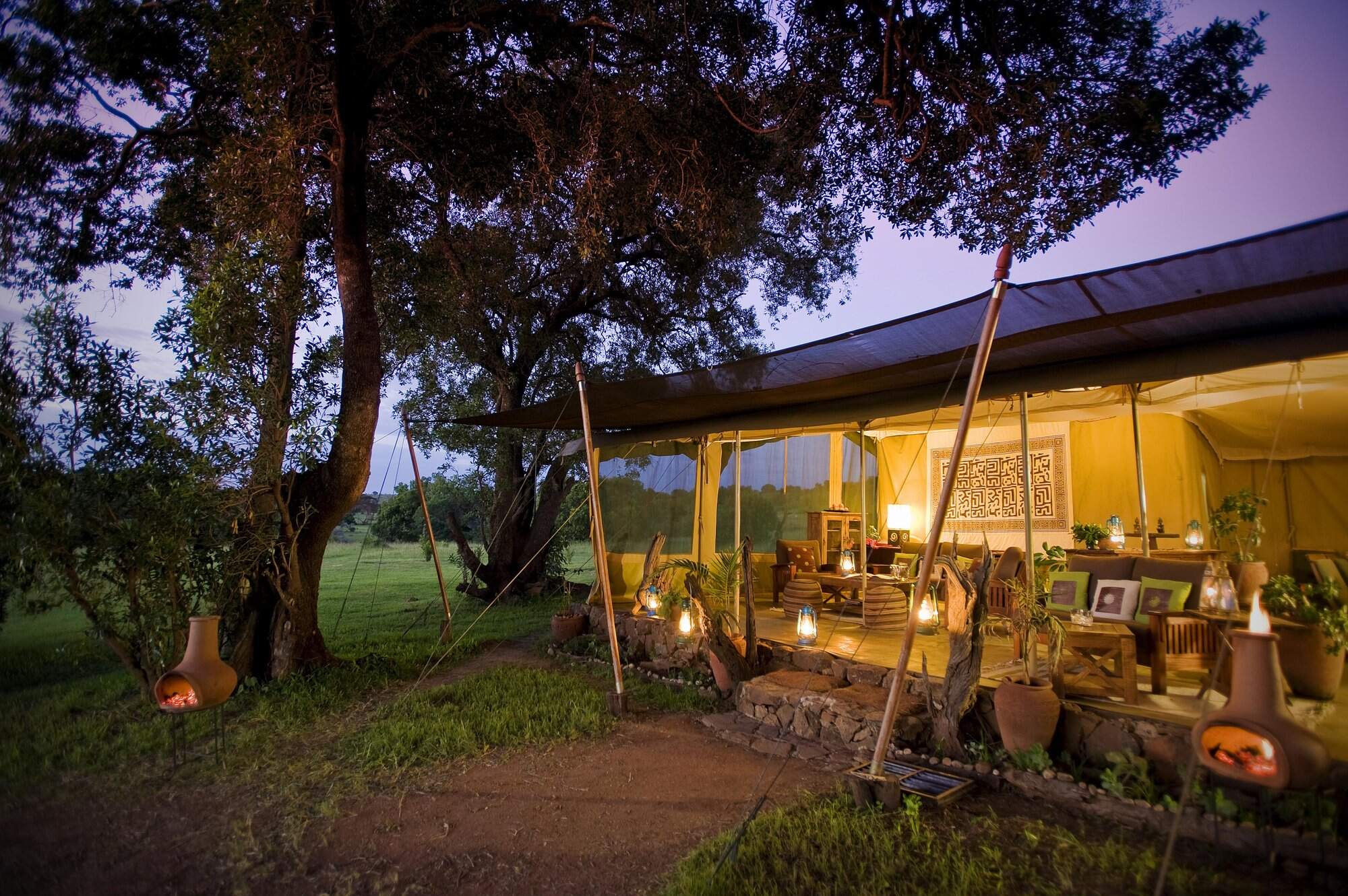
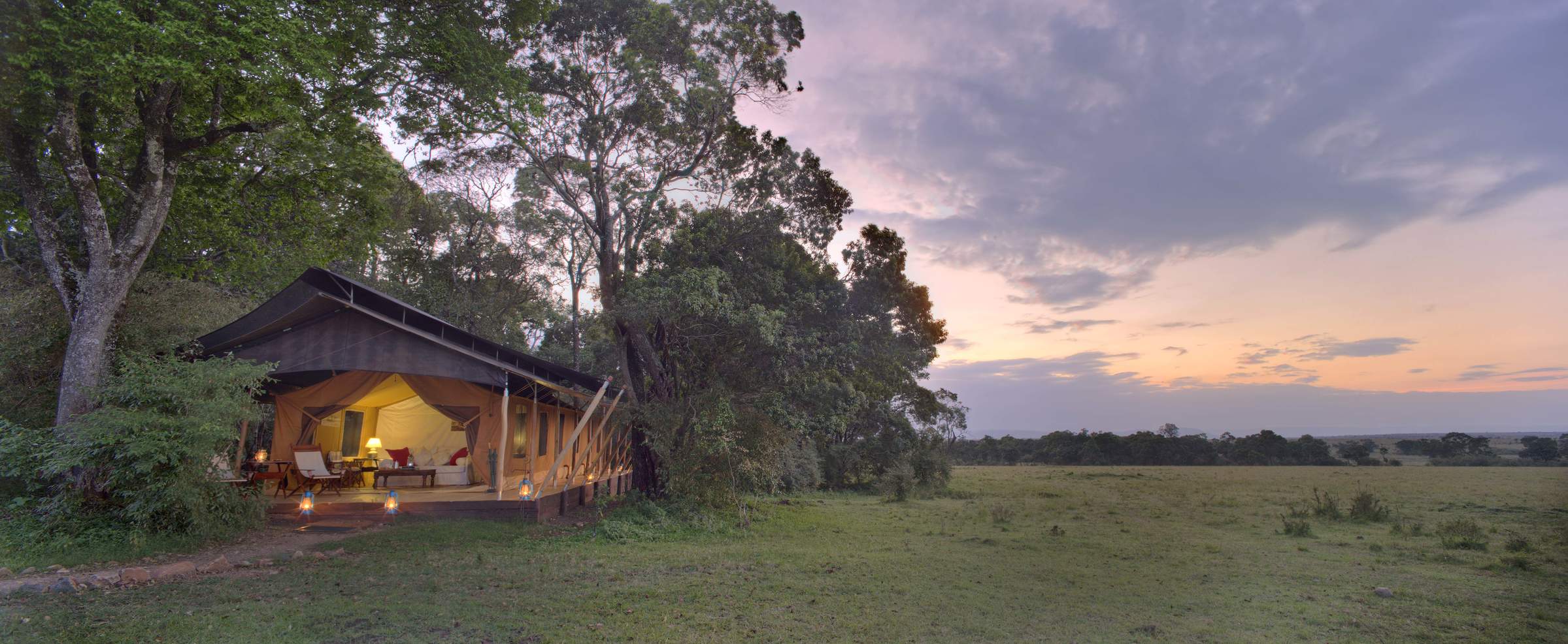
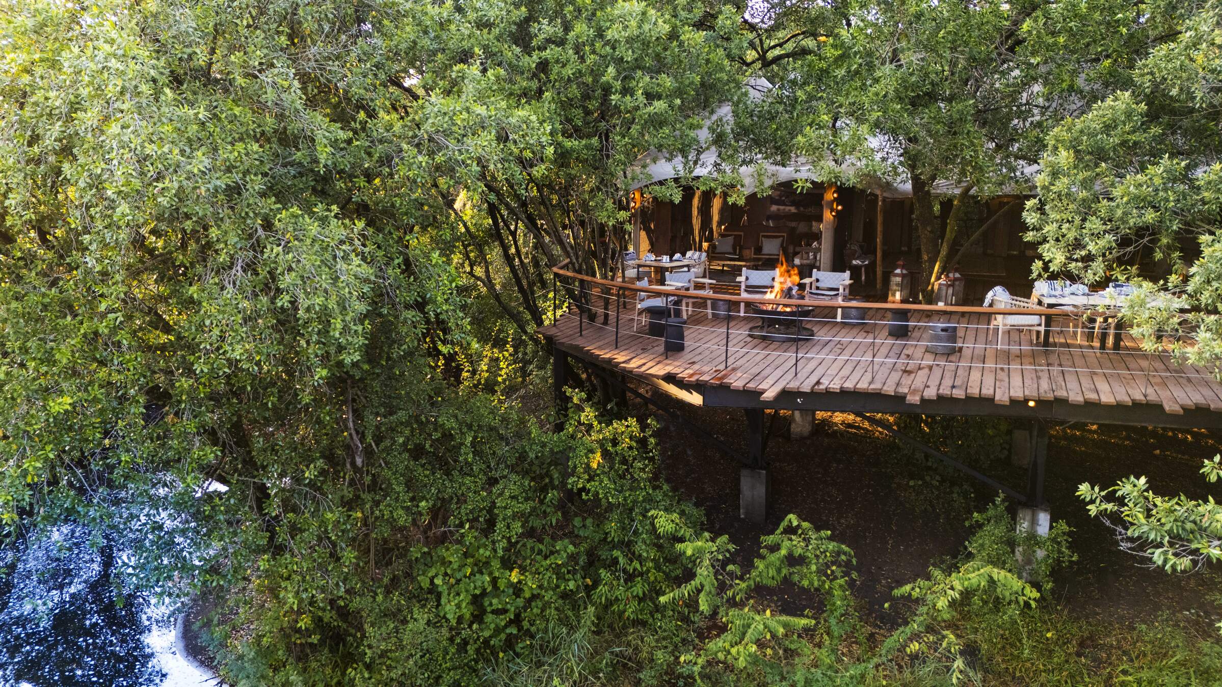
Serian
Serian is a luxury tented camp on the east bank of the Mara River in the Mara North Conservancy. It is the sister camp of Ngare Serian, on the west bank.
Mara Plains Camp
Mara Plains is one of the very best camps in the Mara ecosystem. Located in the Olare Motorogi Conservancy, just outside the Mara reserve, it has access to three wildlife-viewing areas.
Basecamp Eagle View
Basecamp Eagle View is a community-focused safari camp in the Naboisho Conservancy, with a strong emphasis on responsible tourism and a spectacular location.
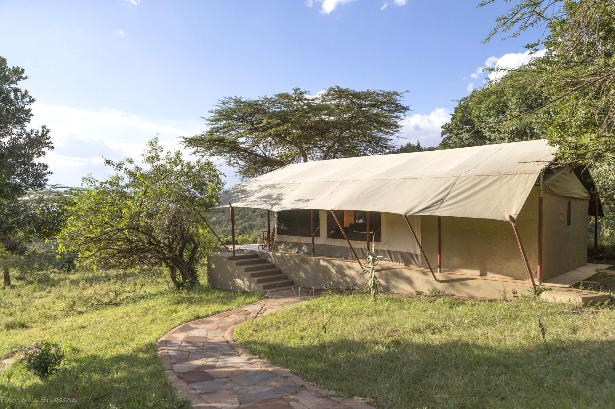
Kicheche Fly Camp
Kicheche Walking Wilderness Fly Camp is a temporaray dome tent camp set up for participants in Kicheche's two-day walking safari between Kicheche Valley and Kicheche Bush Camp.
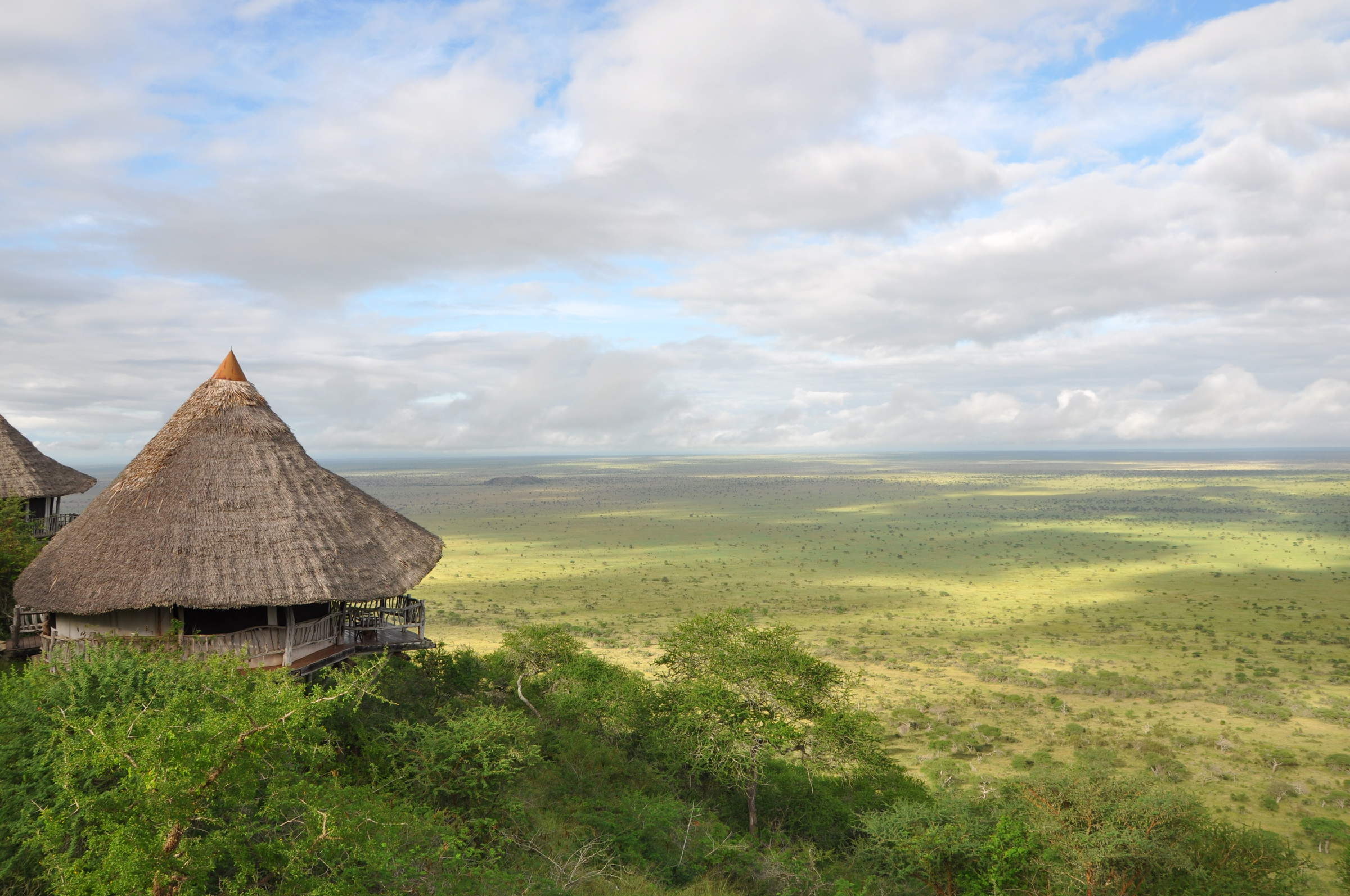
Hemingways Ol Seki
Magnificently located tented lodge on a bluff looking south across the Naboisho Conservancy toward the Maasai Mara National Reserve.
Saruni Wild
Saruni Wild is a rustic and traditional safari camp in the Lemek Conservancy, with just three tents and limited electricity.
Porini Lion Camp
Porini Lion Camp is a pioneering, community focused eco-camp, with excellent guides and game viewing, in the predator-rich, Olare Motorogi Conservancy.
Offbeat Ndoto
Small and intimate, Offbeat Mara is set in a valley above the (often dry) Olare Orok River within the Mara North Conservancy.
Basecamp Leopard Hill
With six beautiful tents, Basecamp Leopard Hill is a smart safari camp in the Naboisho Conservancy in the Maasai Mara ecosystem.
Porini Mara Camp
Porini Mara Camp is a small, pioneering eco-camp in the first private conservancy in the Mara region, with comfortable accommodation and a range of activities.
Ngare Serian
The luxurious Ngare Serian and its sister camp Serian face each other across the Mara River on the western side of the Mara North Conservancy
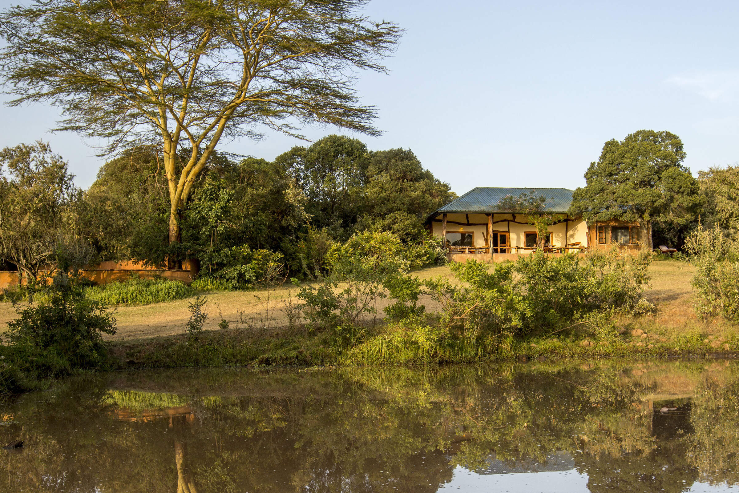
Karen Blixen Camp
Karen Blixen Camp sits on a meander of the Mara River in the Mara North Conservancy, just beyond the northern boundary of the Maasai Mara National Reserve.
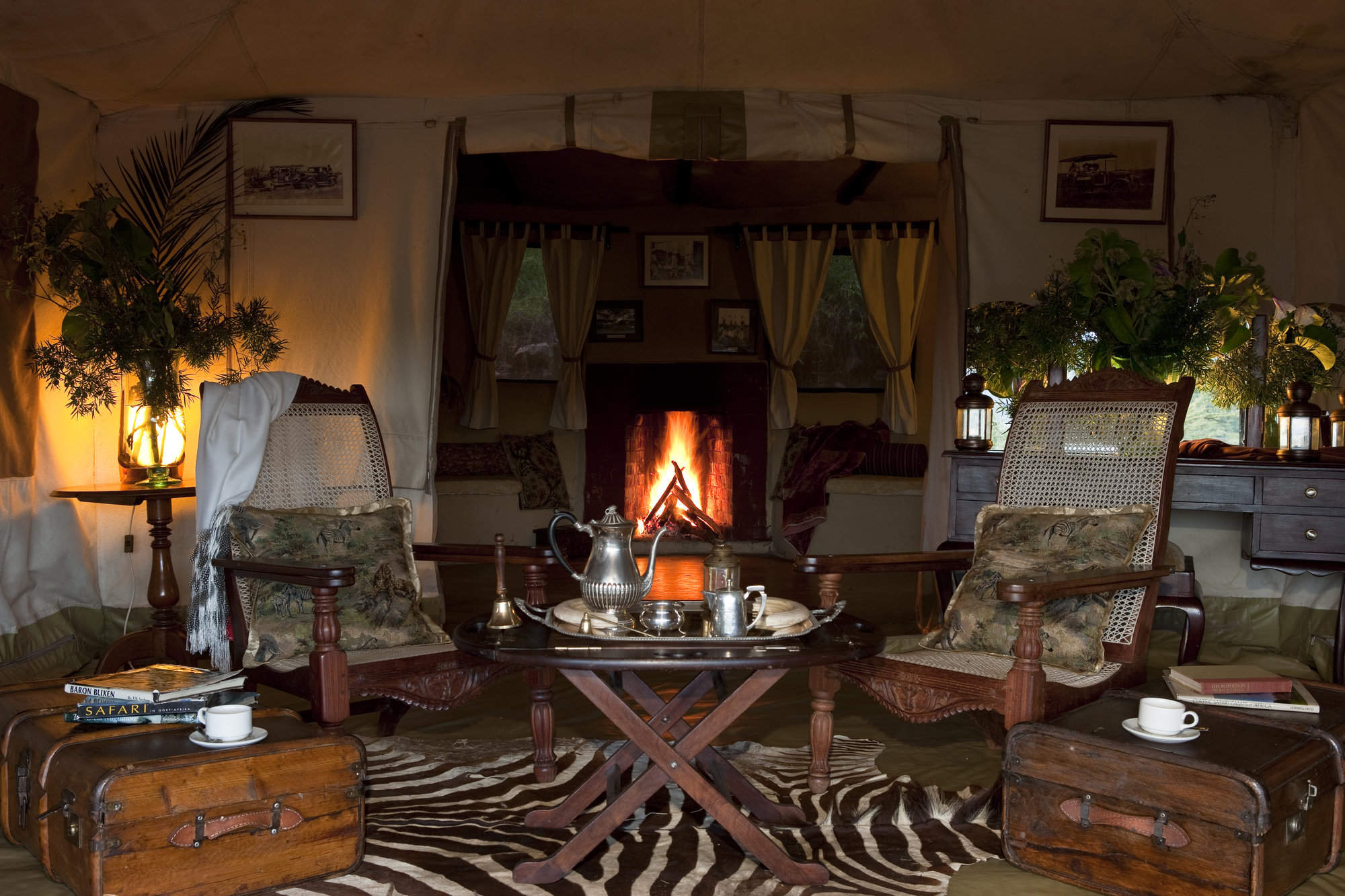
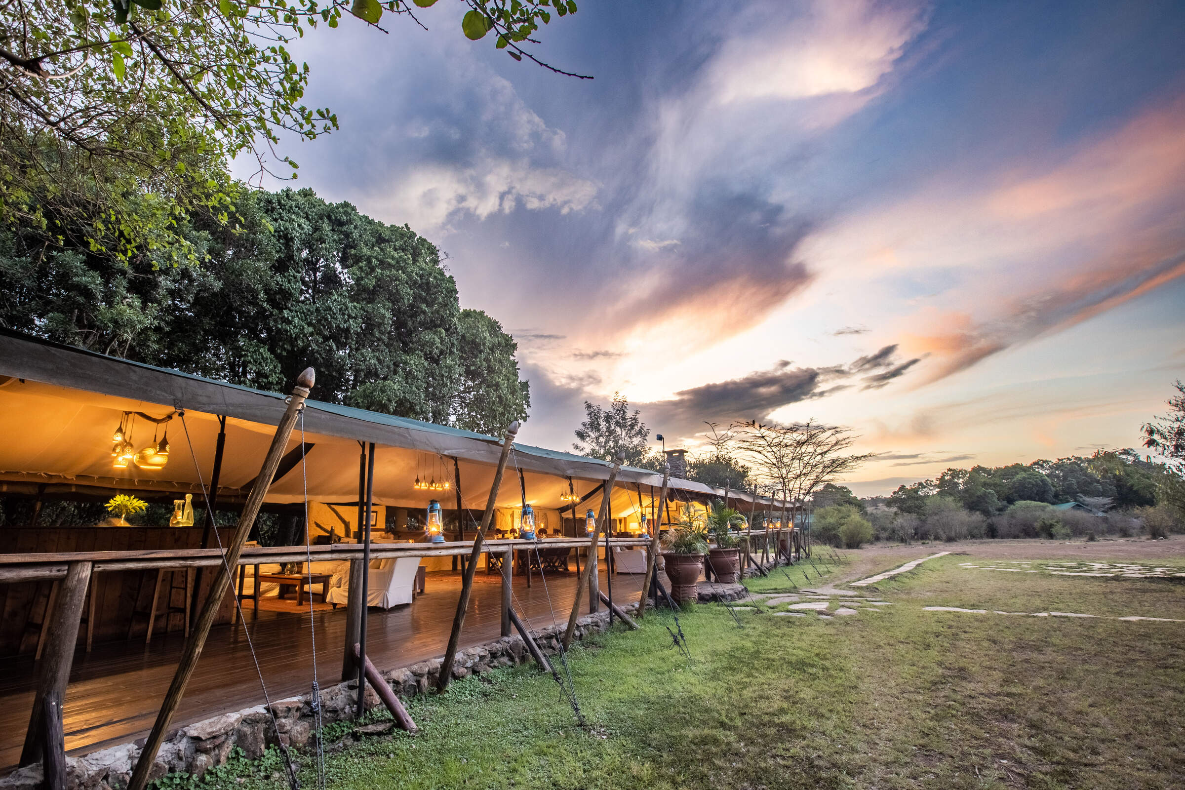
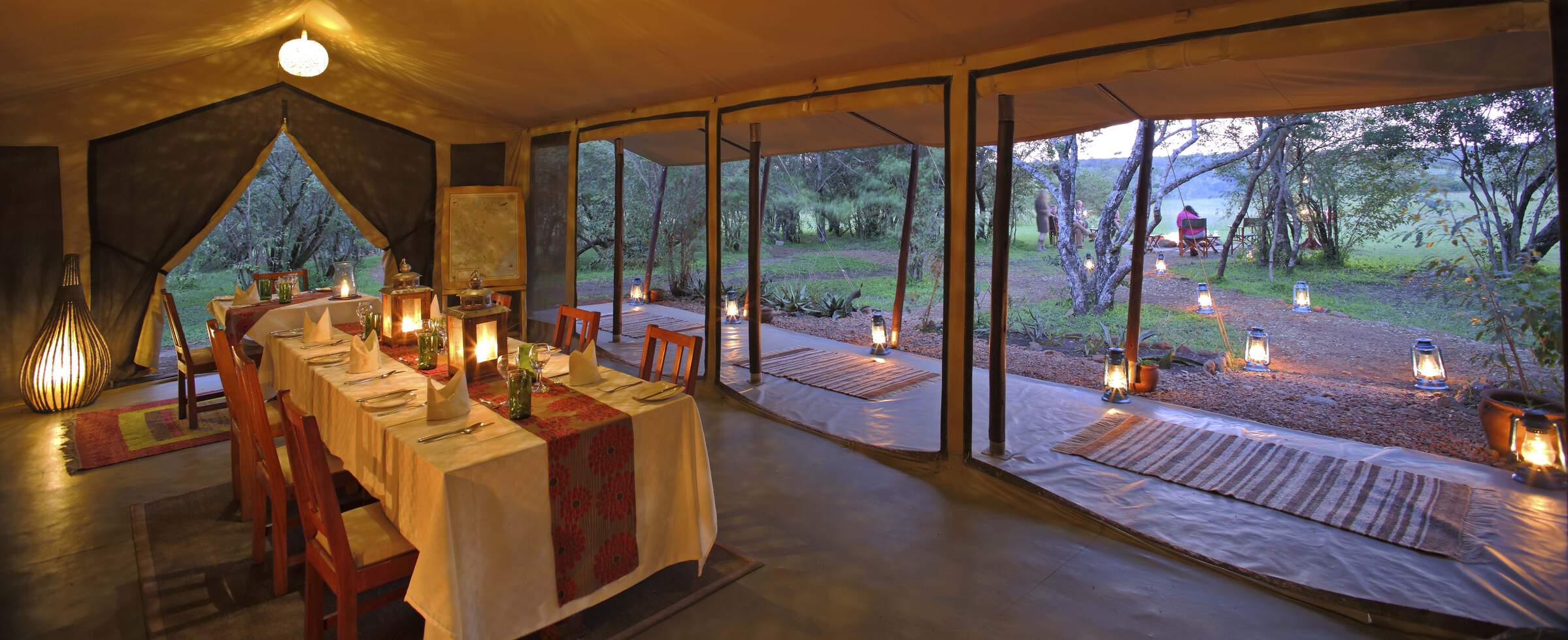
Cottars 1920s Camp
Cottar's 1920s Camp is a classic, luxury tented camp with a 1920s safari theme, located in its own conservancy on the southeast border of the Maasai Mara National Reserve.
Leleshwa
Leleshwa was a delightful, boutique safari camp on the picturesque banks of a tributary of the Talek, with an extensive, little visited game area on its doorstep.
Saruni Mara
Saruni Mara is a luxurious permanent lodge, on the remote northern edge of the Mara North Conservancy, with stunning views, good guiding and very private and comfortable rooms.
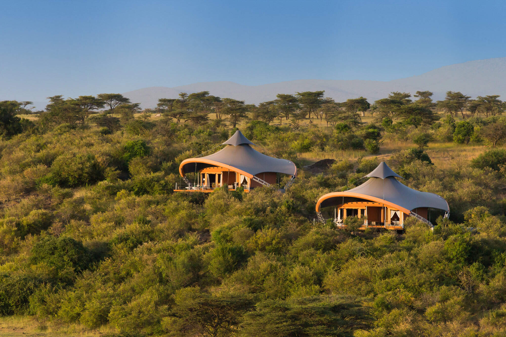
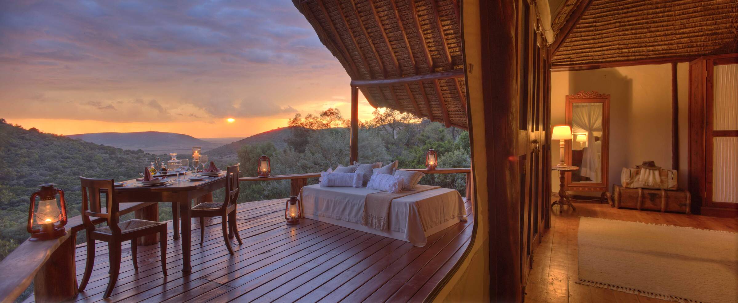
Mahali Mzuri
Mahali Mzuri is a strikingly modern tented camp in the Virgin Limited Edition group, in a remote part of the Mara ecosytem's Olare Motorogi Conservancy. It has lovely views and all the luxuries of a five-star hotel.
Mara Nyika
Mara Nyika is one of the newer additions to the Naboisho Conservancy and offers a luxurious and exclusive safari.
Basecamp Wilderness
Basecamp Wilderness Camp is a simple, traditional tented camp, set in a remote valley in the Naboisho Conservancy in the Mara ecoystem.
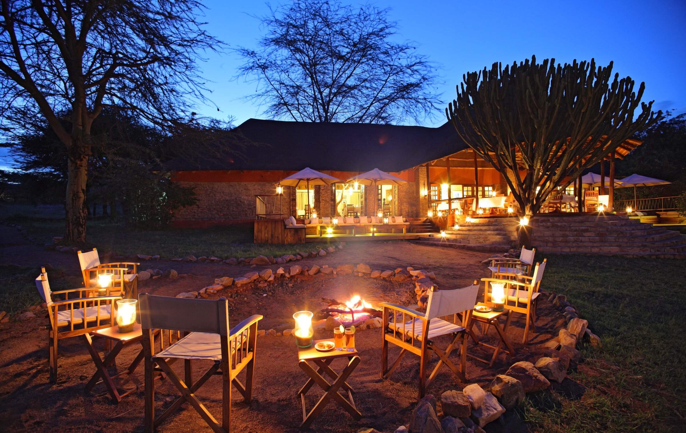
Mara Bushtops
Mara Bushtops is a luxury safari hotel on a private concession, outside the Maasai Mara National Reserve, with the emphasis on comfort, relaxation and good food and wine.
Mara Toto Tree Camp
Mara Toto Tree Camp is located on a wooded bend of the Ntiakatek River, 1km south (as the pied crow flies) from its sister camp, Mara Plains. It's the offspring of the original "Mara Toto" which was swept away in floods.
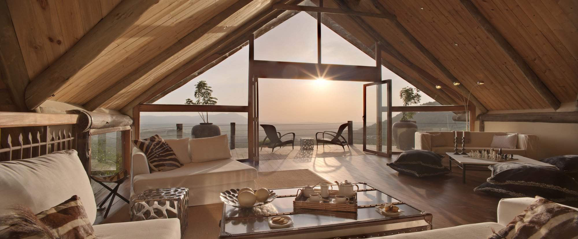
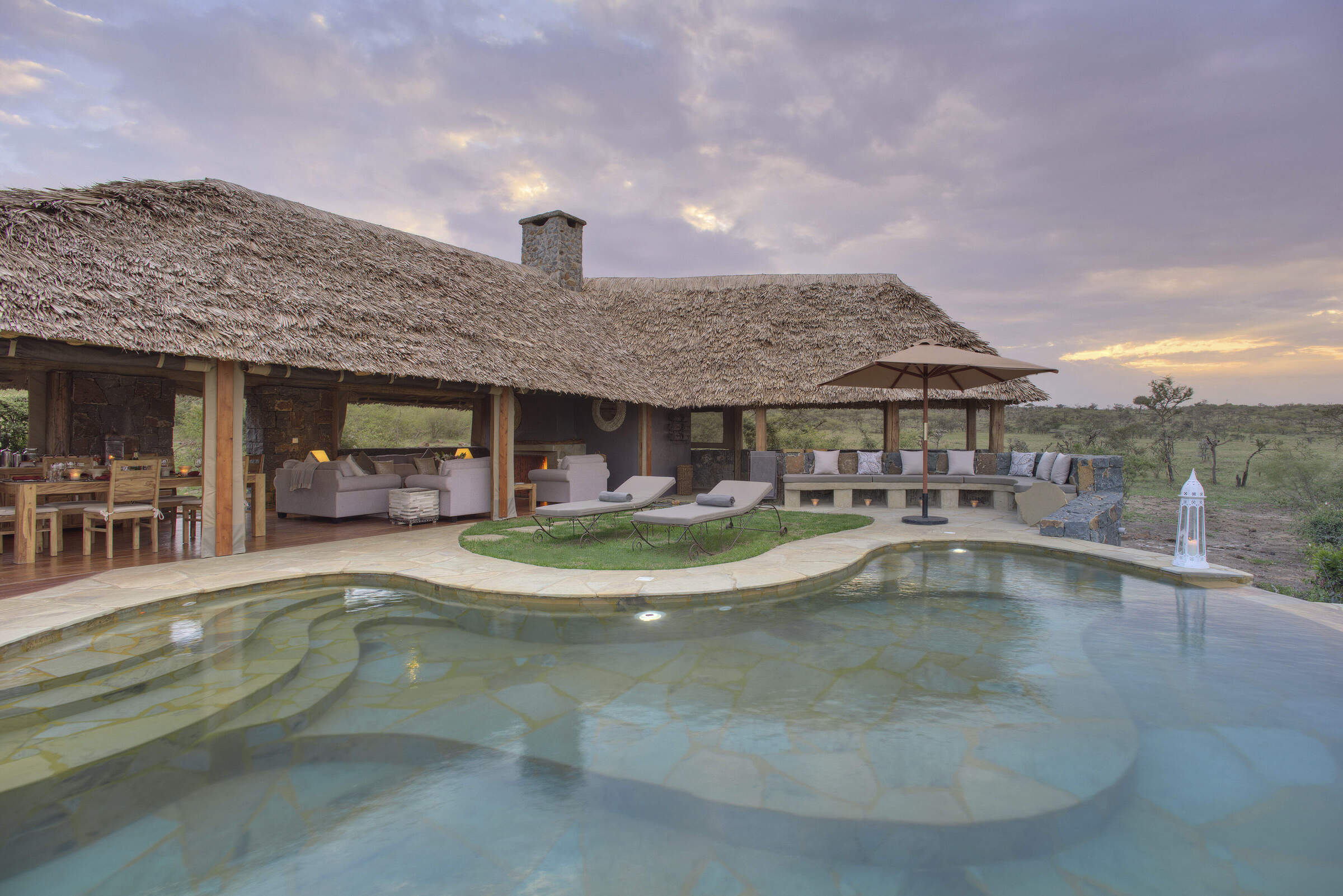
Cottars Private House
Cottar's Private House is one of the few truly luxurious, modern private houses in the Mara ecosystem, spoiling its guests with first-rate staff, a swimming pool and wonderful views.
Basecamp Mara Houses
Basecamp Mara Houses consists of three private houses located in the northernmost part of the Mara North Conservancy.
Entumoto
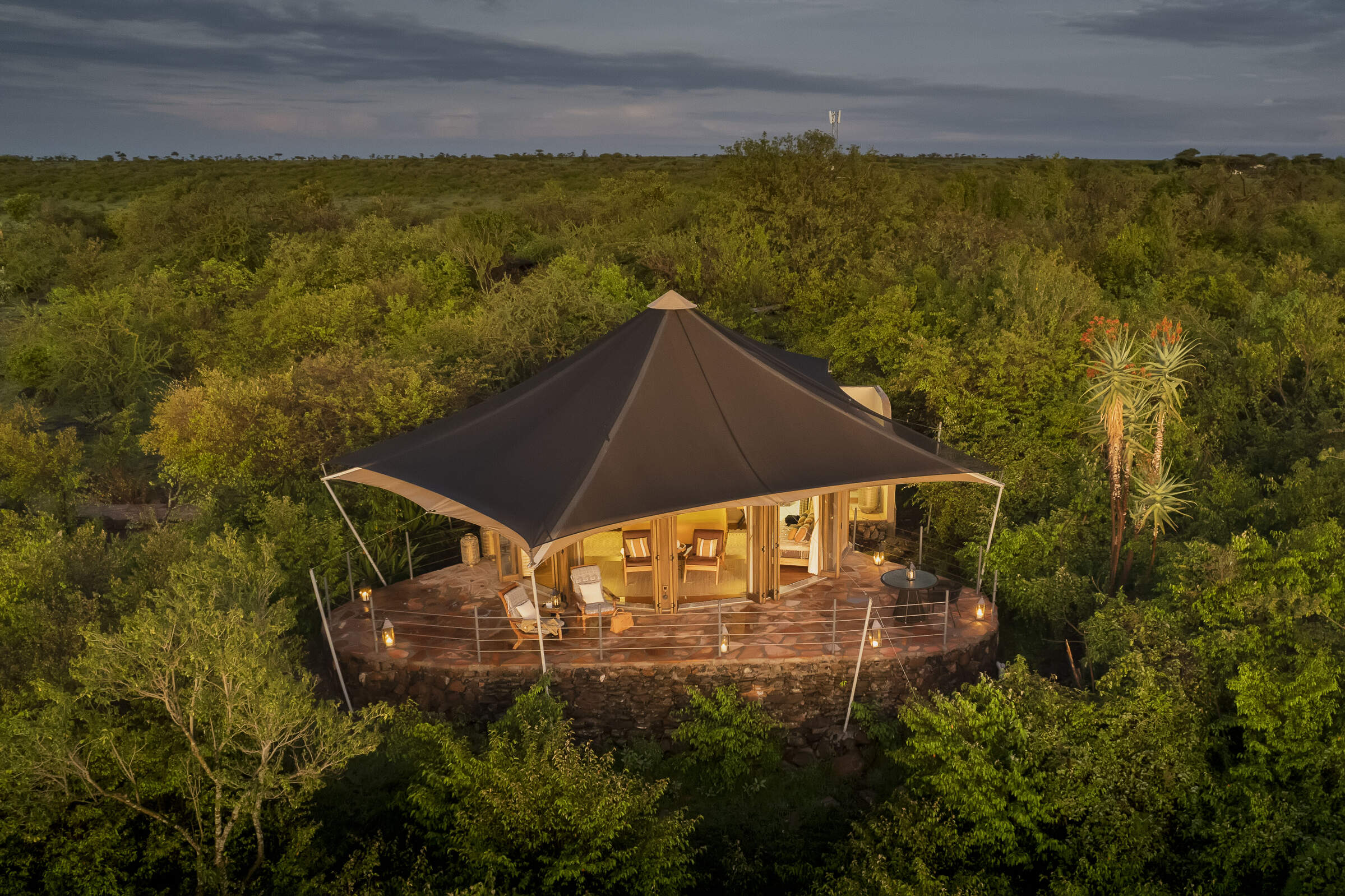
Entumoto is a high-end tented camp, with a swimming pool, situated in a very pretty location on the east side of the Maasai Mara ecosystem.
Our travellers’ wildlife sightings in Mara Conservancies
This is their success for sightings in Maasai Mara Conservancies. Click on a species for more detail. How we work this out.

100% success

100% success

99% success

99% success

99% success

99% success

99% success

97% success

92% success

89% success

77% success

10% success

8% success

8% success

2% success

1% success