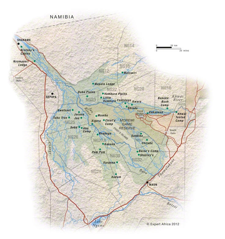
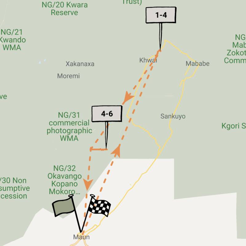
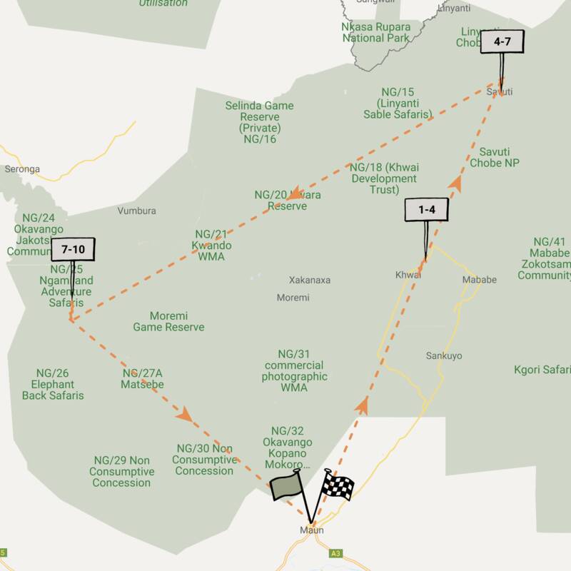
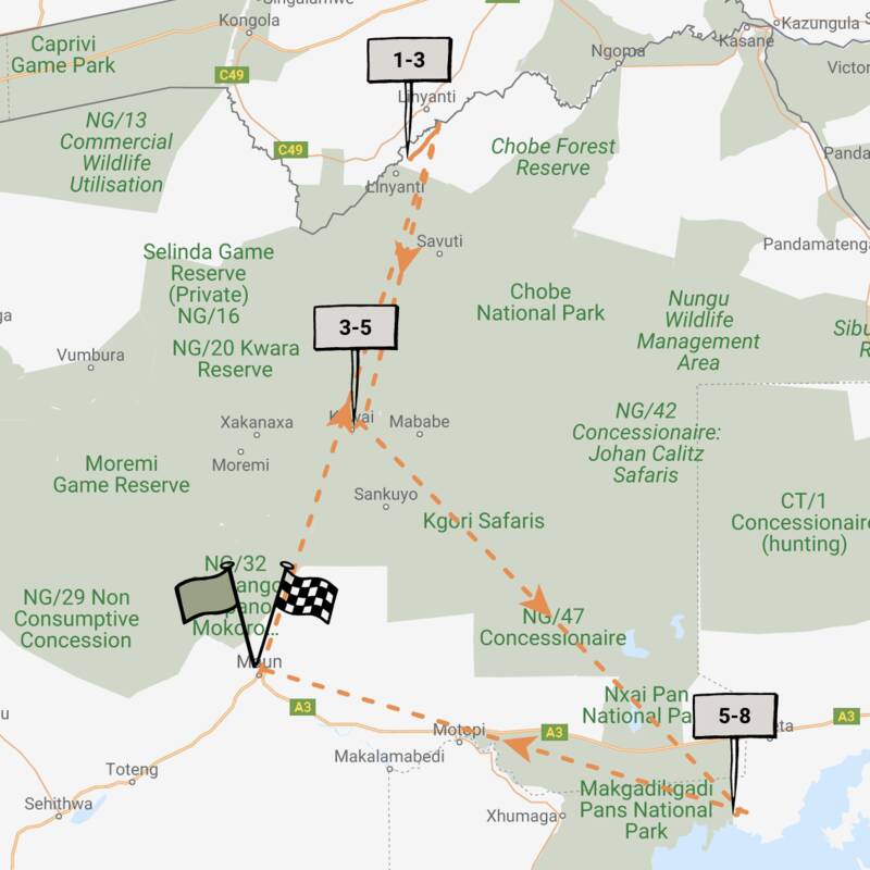
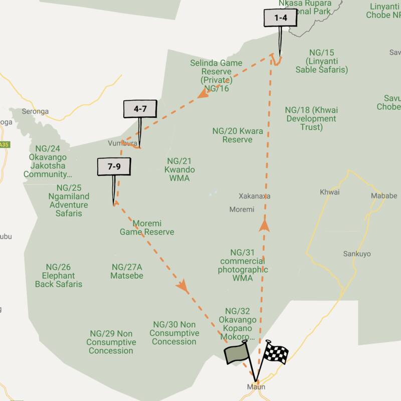
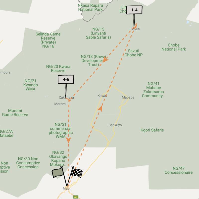
Map of Moremi Game Reserve
Moremi Game Reserve reference map
Google map of Moremi & Surrounds
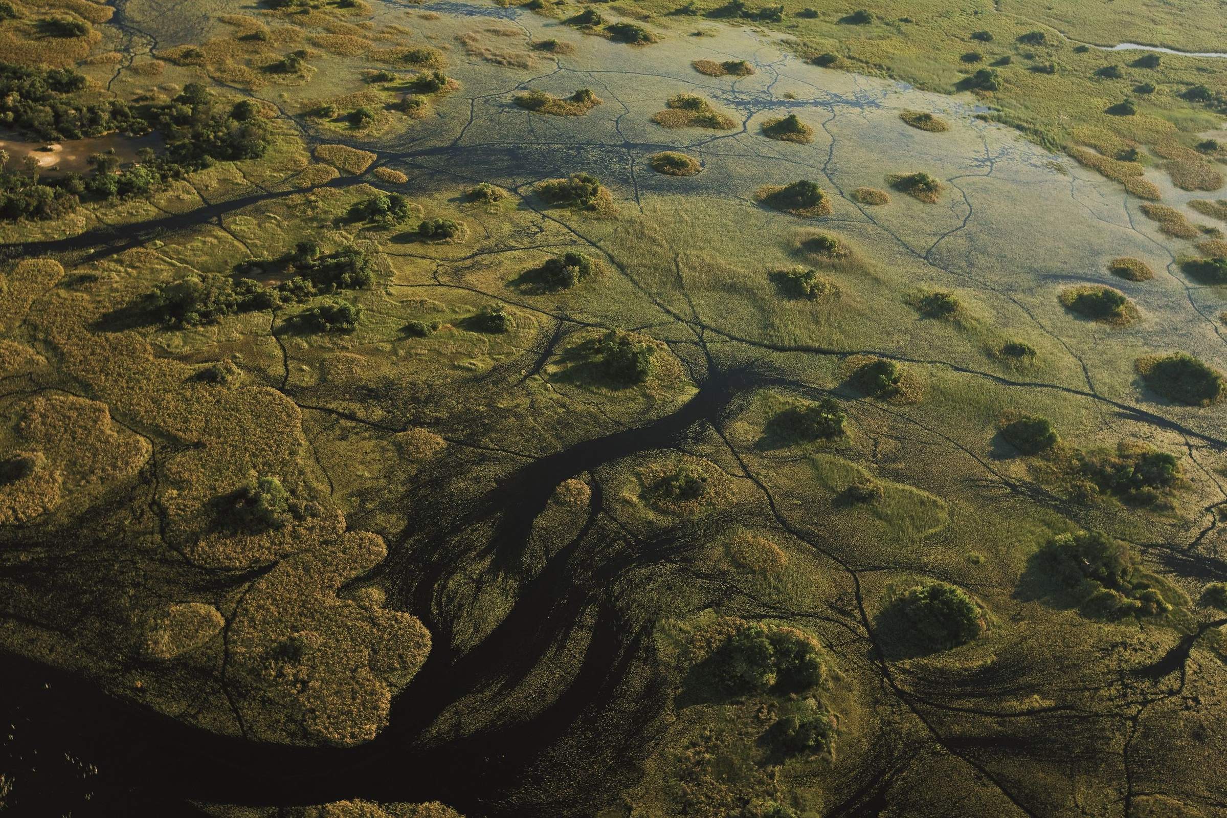
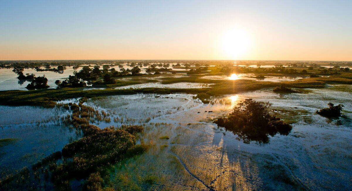
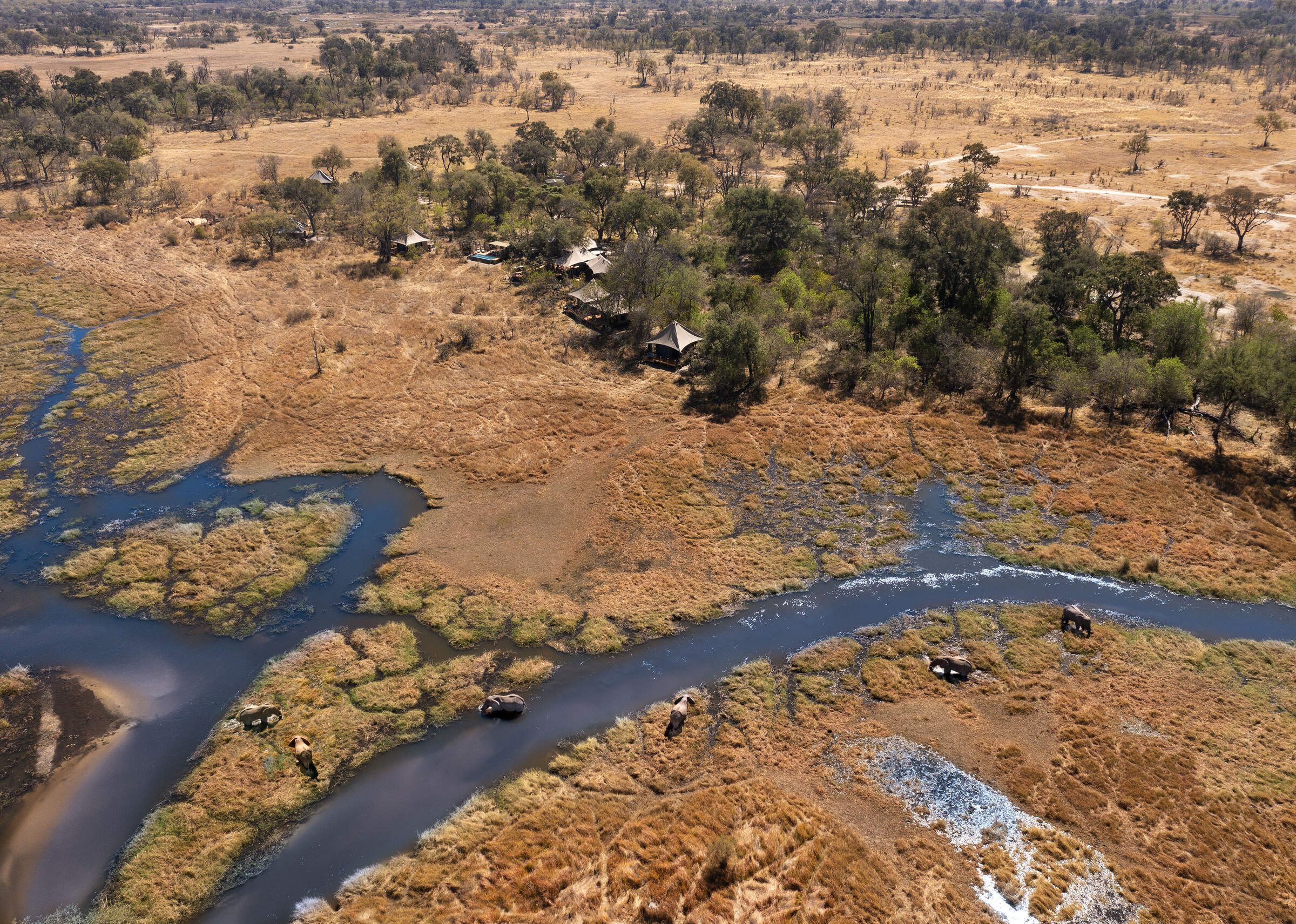
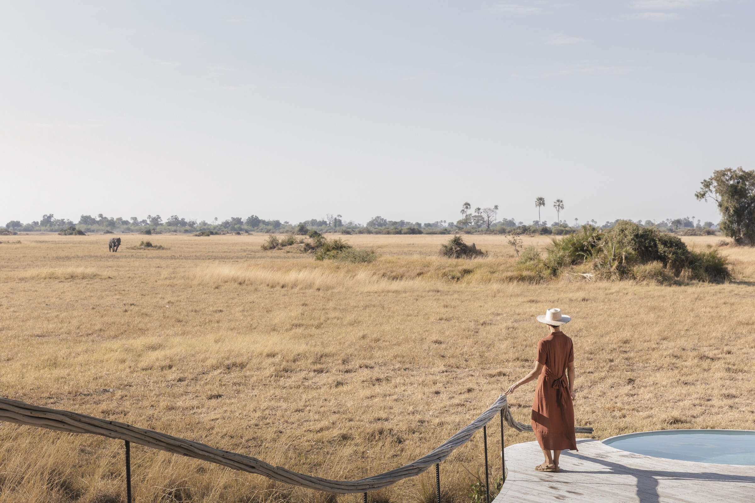
Moremi sits within the eastern section of the Okavango Delta and was the first reserve in Africa created by local people for conservation. It protects a core area of the Delta’s wetlands and dryland habitats, including the well-known Mopane Tongue and Chief’s Island. The reserve and its bordering private concessions form one of the richest wildlife regions in southern Africa.
This map highlights Moremi’s key safari areas, such as Xakanaxa, Third Bridge, and Chief’s Island, alongside neighbouring concessions like Khwai Private Reserve (NG18), Mababe (NG41), and Xigera. These regions are known for their varied habitats and flexible safari offerings.
Located around 300 kilometres from Maun, Botswana’s main safari gateway, this map offers a useful overview of where the best camps are positioned, whether within the reserve itself or in adjacent areas offering off-road and private safaris.
Safaris visiting Moremi & Surrounds
Just ideas, we'll always tailor-make a trip for you
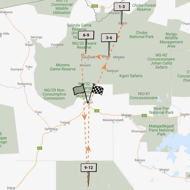
Ground Squirrel Safari
7 days • 2 locations • 1 country
MAUN AIRPORT TO MAUN AIRPORT
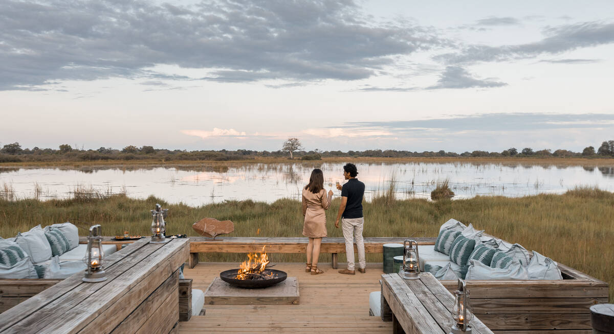
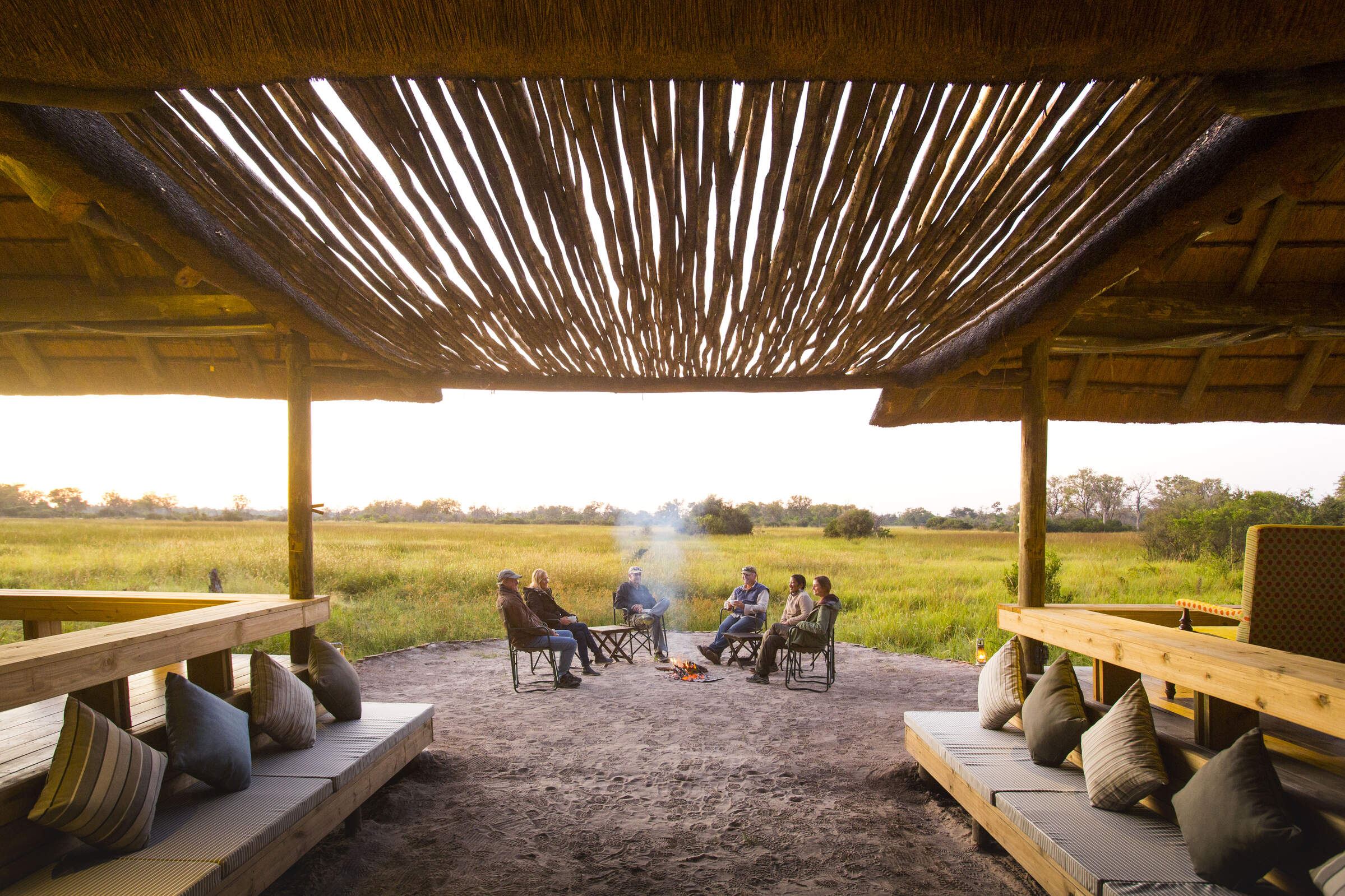
Experiencing the wilderness with an engaging guide whilst staying in a private mobile camp is often the highlight of a safari. Combine that with a charming camp overlooking the Okavango Delta and you’re onto a winner!
Visiting Moremi & Surrounds, Okavango Delta
US$8,840 - US$11,190 per person
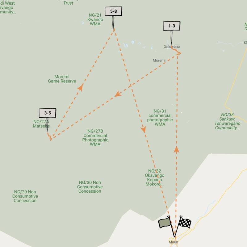
Porcupine Safari
11 days • 4 locations • 1 country
MAUN AIRPORT TO MAUN AIRPORT
Visit dramatically contrasting landscapes boasting a variety of species during this exploration of Botswana’s top-safari destinations. A combination of national parks and private reserves allows for a range of activities.
Visiting Chobe, Central Kalahari and 2 other areas
US$11,780 - US$16,860 per person
Red Lechwe Safari
9 days • 3 locations • 1 country
MAUN AIRPORT TO MAUN AIRPORT
Superb guiding from three fabulous camps full of character in three contrasting areas for a fabulous safari to the Okavango Delta and Kalahari Desert.
Visiting Moremi & Surrounds, Okavango Delta and 1 other area
US$17,600 - US$28,240 per person
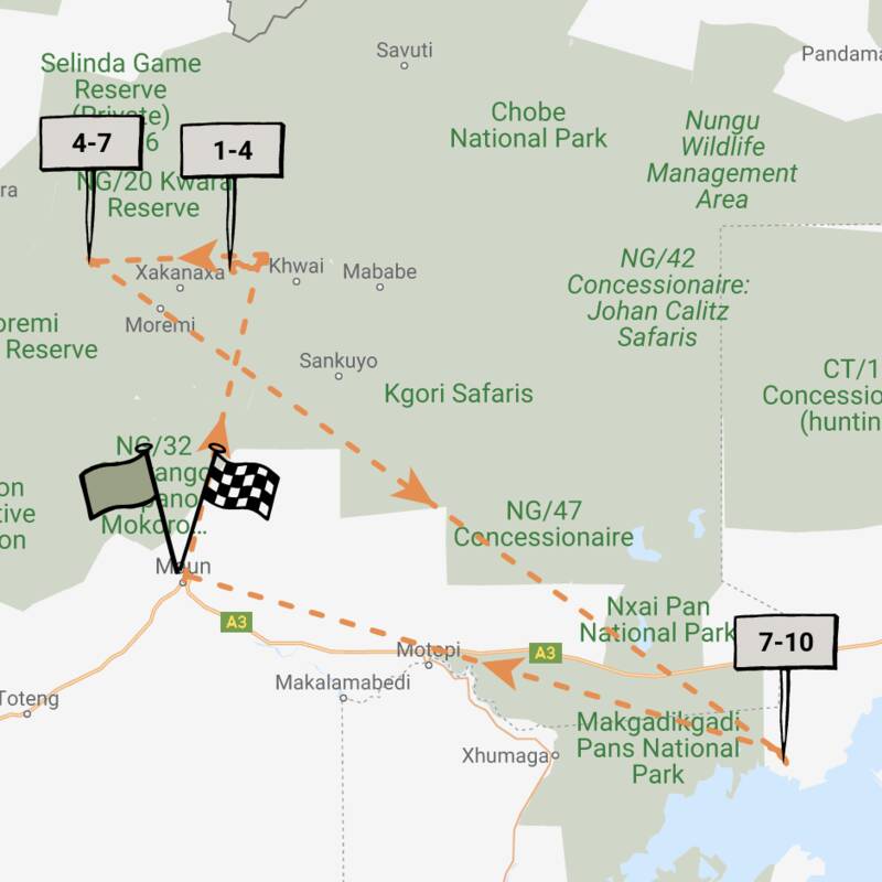
Aardwolf Safari
5 days • 2 locations • 1 country
MAUN AIRPORT TO MAUN AIRPORT
Two sister-camps within private concessions bordering Moremi Game Reserve offer access to excellent game, varied landscapes and a range of land and water-based safari activities. A great-value safari in one of Botswana’s best wildlife regions.
Visiting Moremi & Surrounds, Okavango Delta
US$5,830 - US$9,430 per person
Steenbok Safari
9 days • 3 locations • 1 country
MAUN AIRPORT TO MAUN AIRPORT
A classic Botswana safari exploring the Moremi, Chobe National Park and Okavango Delta. Excellent wildlife viewing and a variety of activities from three of our favourite traditional tented camps.
Visiting Chobe, Okavango Delta and 1 other area
US$8,920 - US$13,480 per person
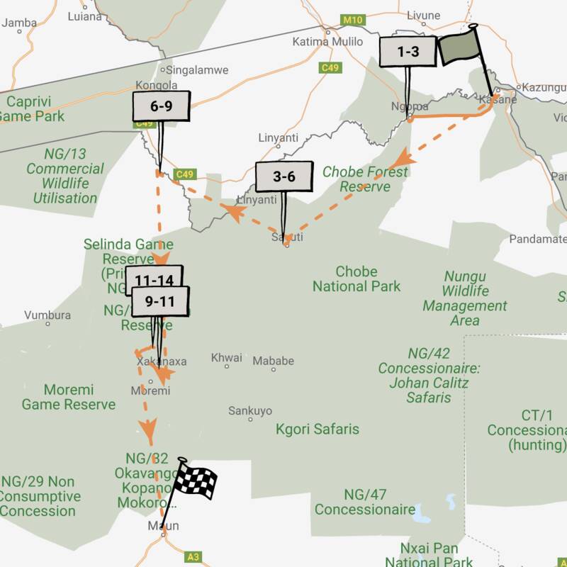
Wild Dog Safari
13 days • 5 locations • 1 country
KASANE AIRPORT TO MAUN AIRPORT
An in-depth discovery of northern Botswana’s wilderness, from Chobe and the private Kwando Reserve to the Moremi and iconic Okavango Delta with a great variety of activities and wildlife.
Visiting Chobe, Moremi & Surrounds and 2 other areas
US$12,930 - US$21,350 per person
Tsessebe Safari
7 days • 3 locations • 1 country
MAUN AIRPORT TO MAUN AIRPORT
Visit three sister-camps in and around Moremi Game Reserve during this thorough exploration of the Okavango Delta. A range of activities provide excellent opportunity to observe the local birdlife, mammals and fauna.
Visiting Okavango Delta, Moremi & Surrounds
US$8,520 - US$11,410 per person
African Jacana Safari
7 days • 3 locations • 1 country
MAUN AIRPORT TO MAUN AIRPORT
An adventurous introduction to Botswana blending prolific wildlife, incredible landscapes and varied activities staying at relaxed camps in the Chobe Enclave, a community-owned reserve bordering the Moremi, and Makgadikgadi Pans.
Visiting Kalahari Salt Pans, Moremi & Surrounds and 1 other area
US$8,550 - US$12,280 per person
Reedbuck Safari
8 days • 3 locations • 1 country
MAUN AIRPORT TO MAUN AIRPORT
Focussing on the Okavango Delta and combining the crème de la crème of Botswana’s camps – Zarafa, Vumbura Plains and Mombo – this is one of the finest safari experiences in Africa.
Visiting Moremi & Surrounds, Okavango Delta and 1 other area
US$23,410 - US$36,280 per person
Wattled Crane Safari
5 days • 2 locations • 1 country
MAUN AIRPORT TO MAUN AIRPORT
A good-value Botswana safari staying at comfortable lodges in prime wildlife-viewing areas – Chobe National Park and the Moremi Reserve in the Okavango Delta.
Visiting Chobe, Moremi & Surrounds
US$6,120 - US$8,090 per person

Looking for inspiration on where to travel next?
Visit our trip chooser to explore your options and find inspiration for your perfect African adventure
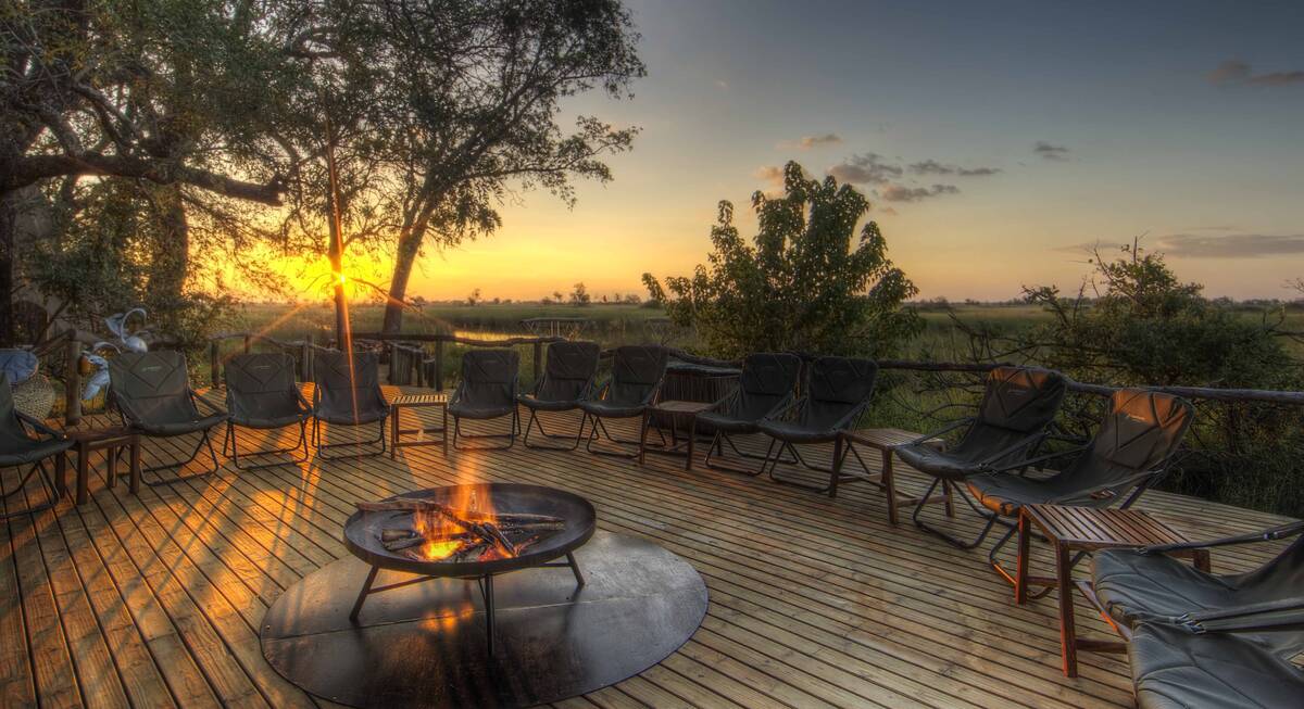
Inspire meWhere to stay in Moremi & Surrounds
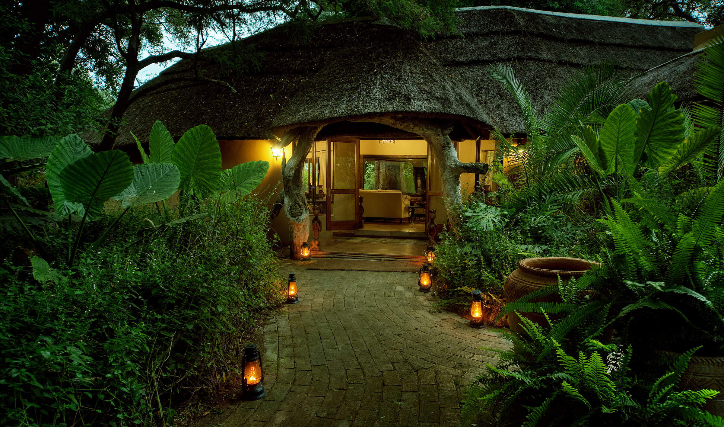
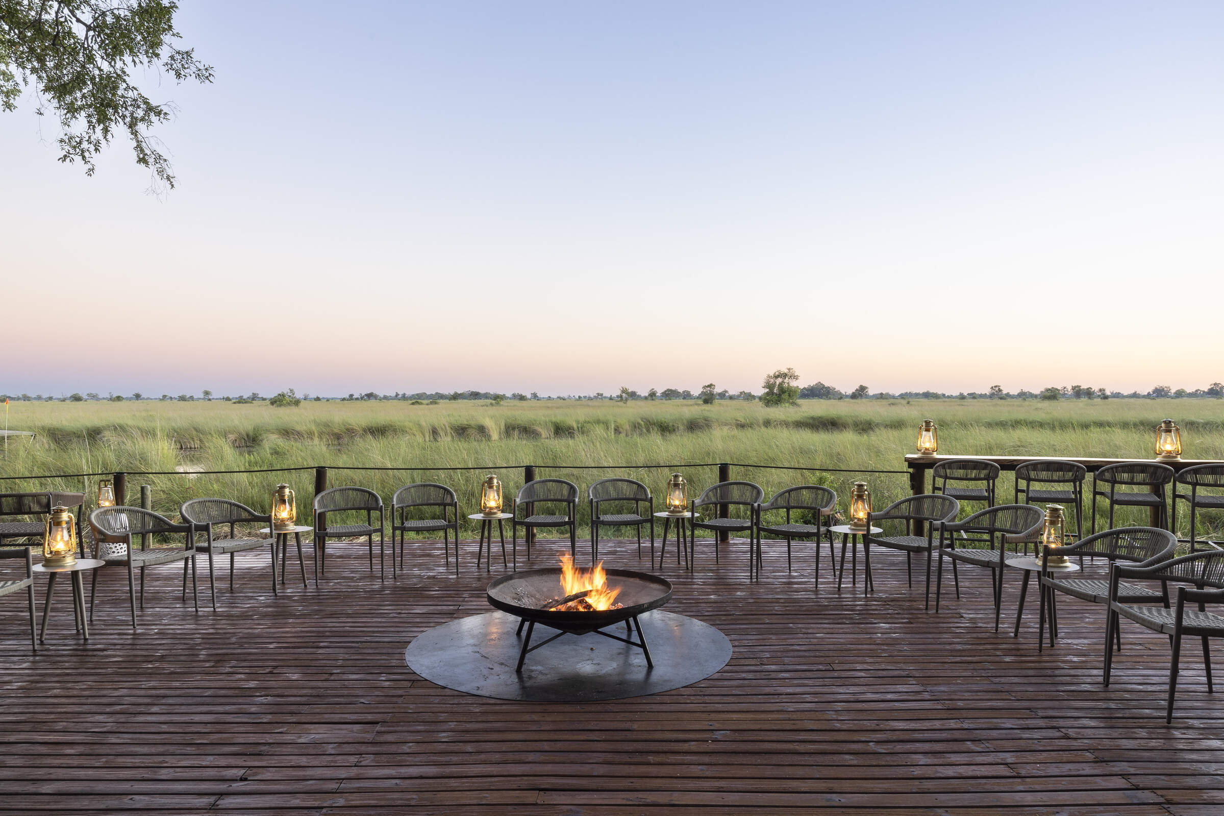
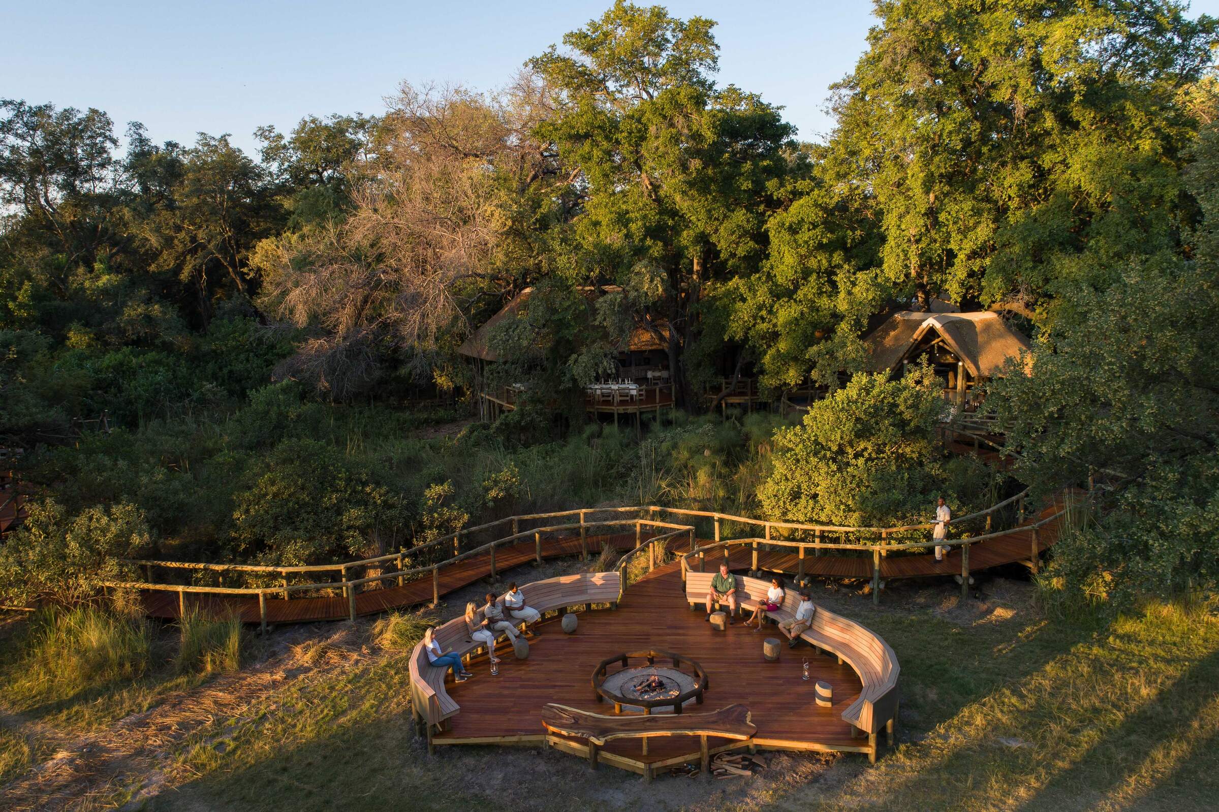
Our suggestions for safari camps in Moremi Game Reserve
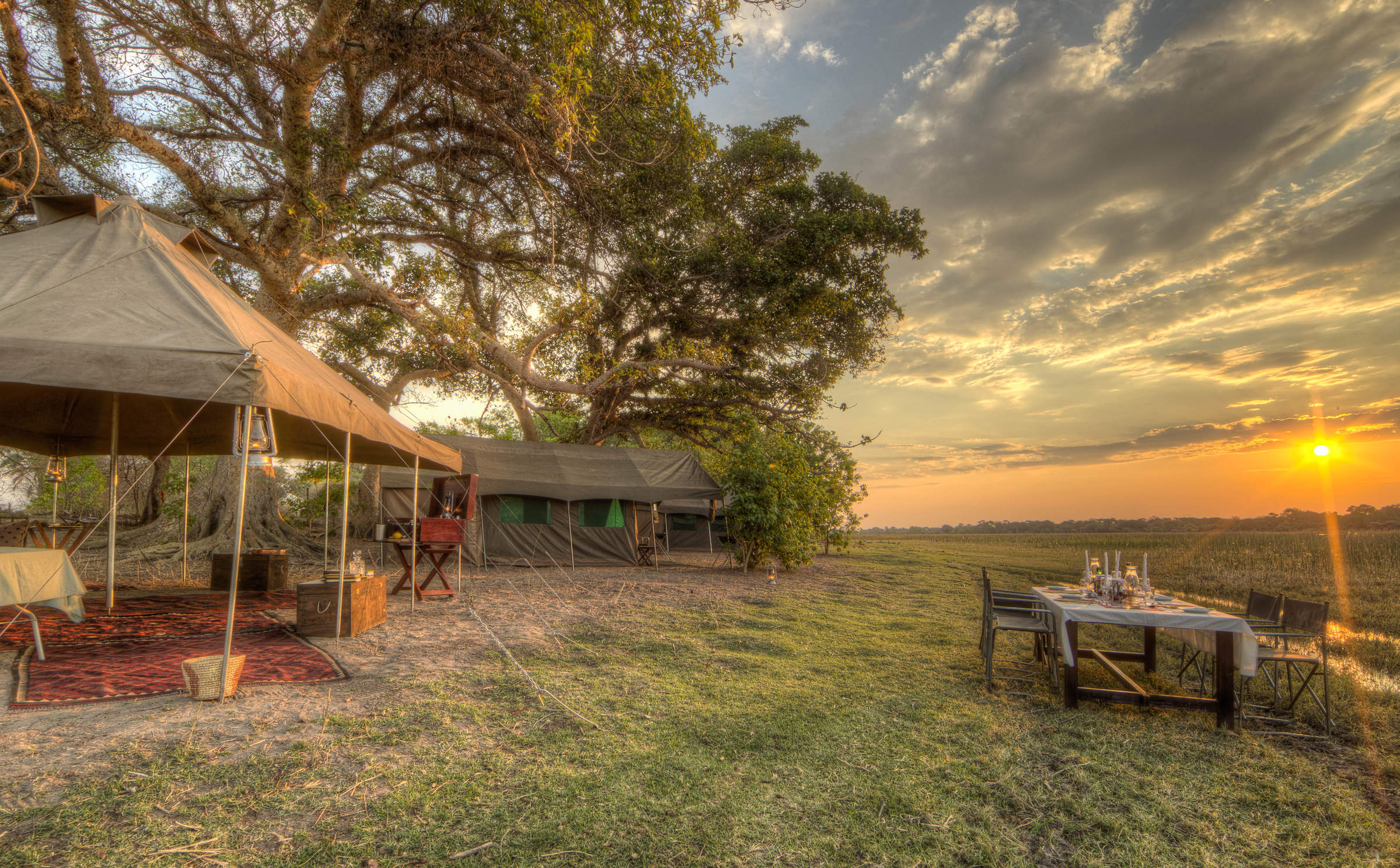
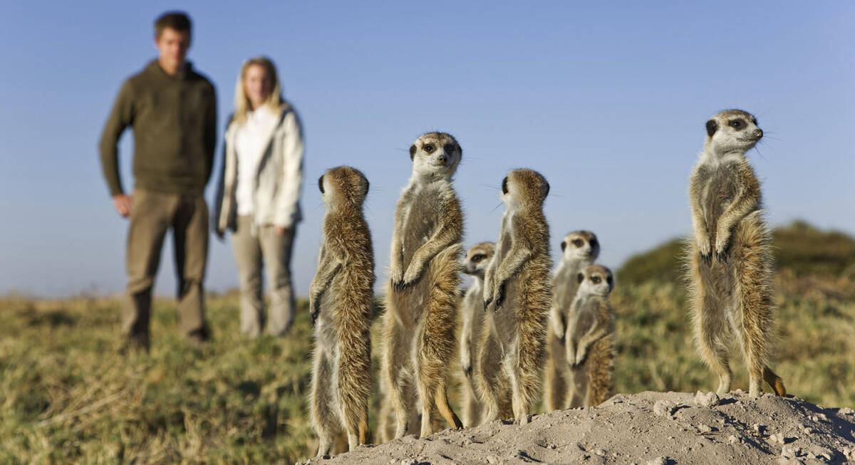
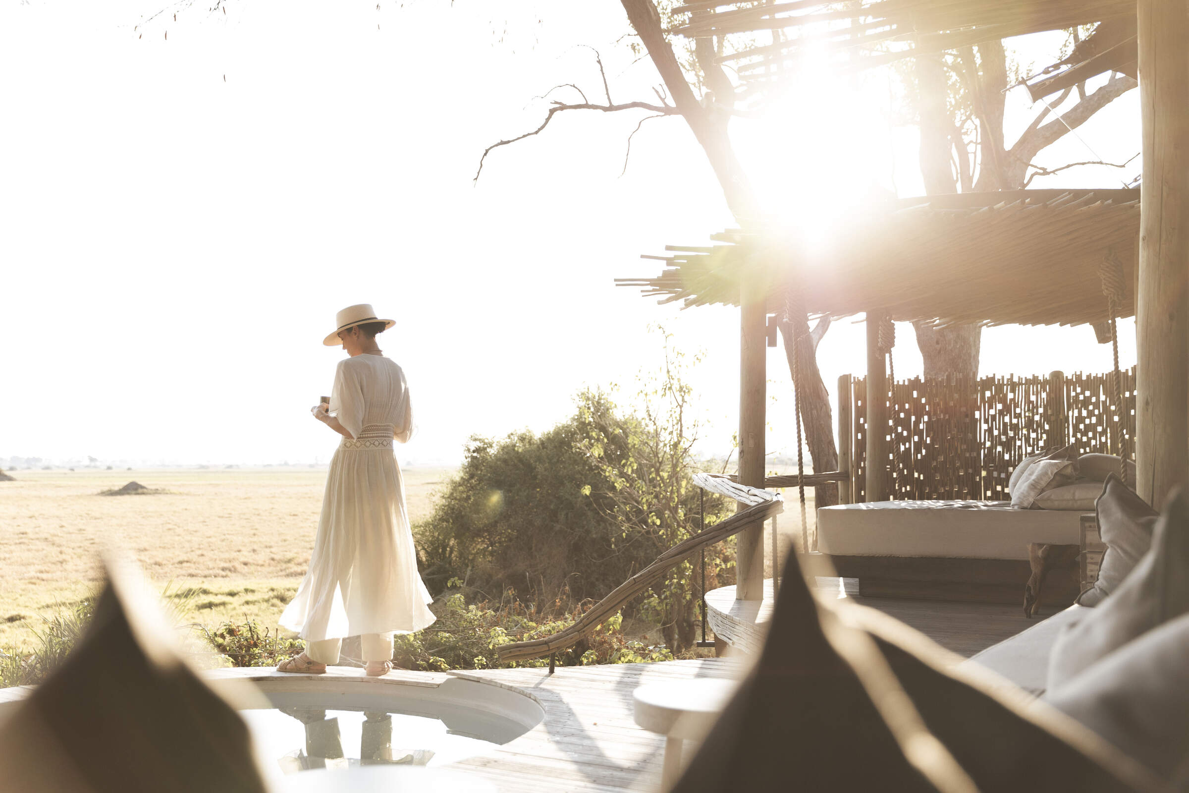
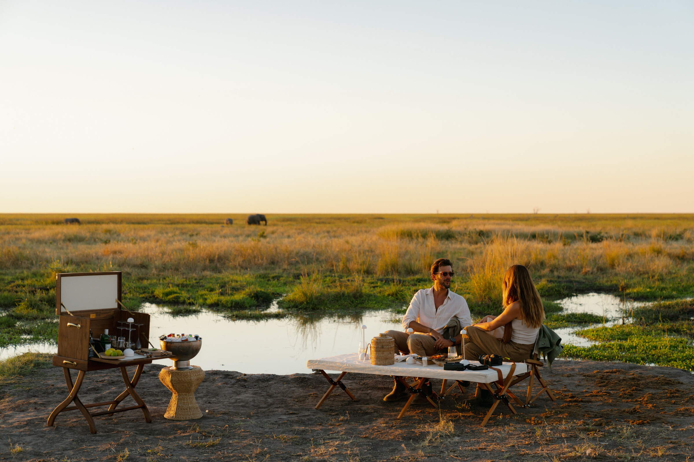
Private Mobile
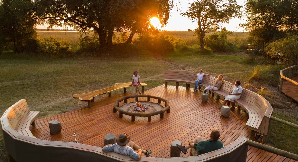
The Botswana Private Mobile Safari has no fixed location; it's exclusive to your group and comes with a top professional guide. Expect comfortable camping, great food, and a superb wildlife experience wherever you decide to go.
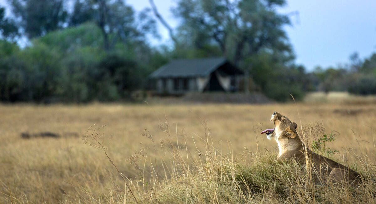
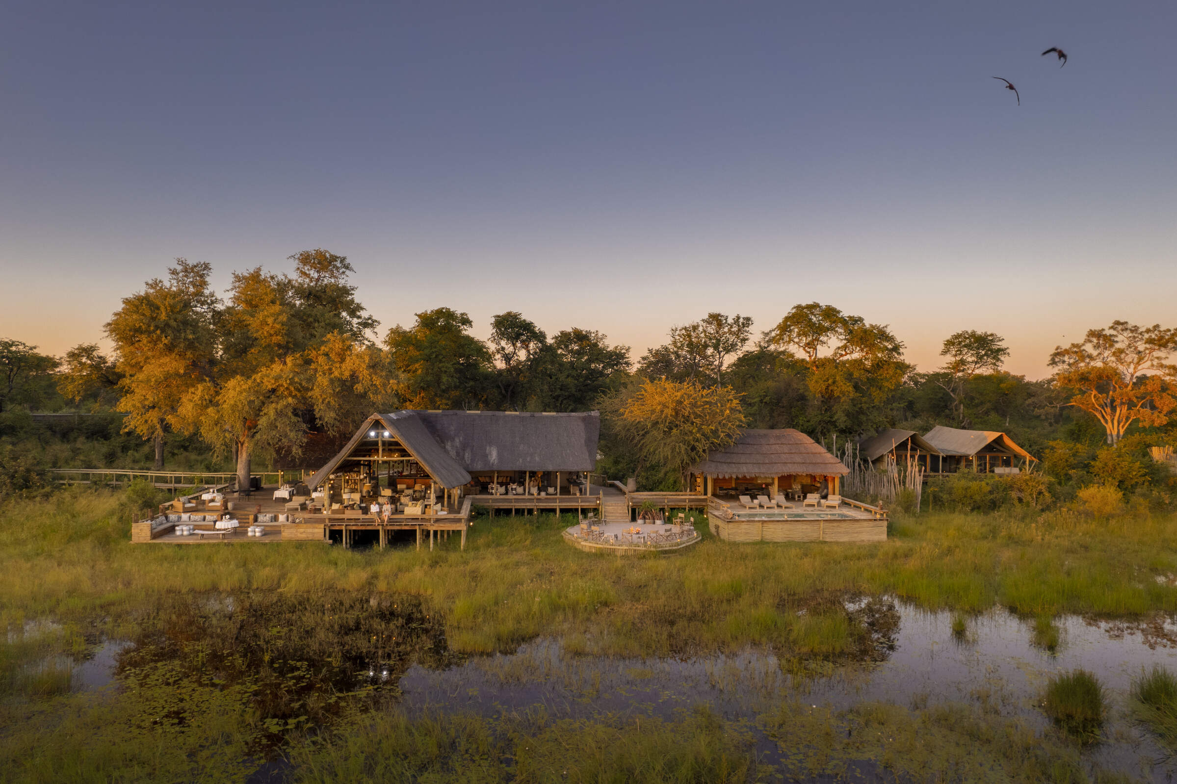
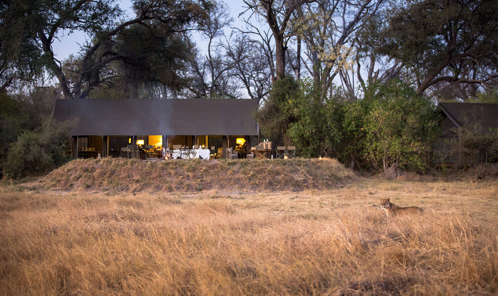
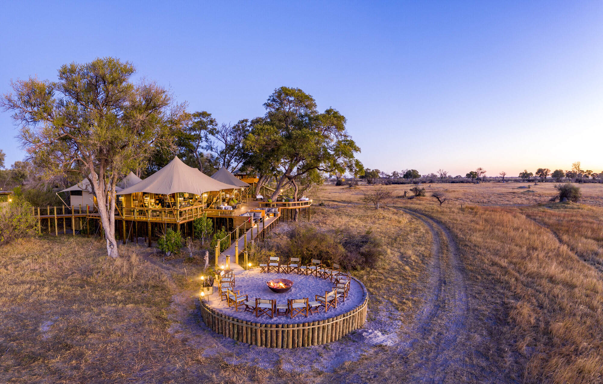
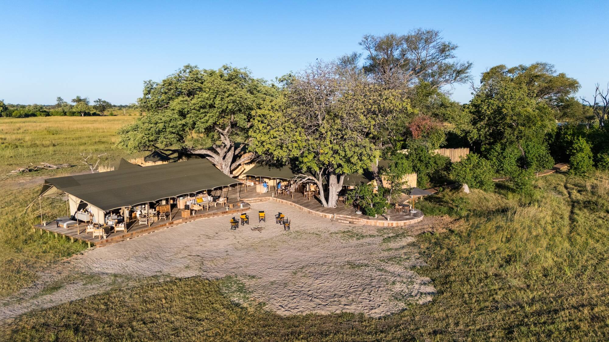
Machaba Camp
Overlooking the Khwai River to Moremi Game Reserve beyond, the classic Machaba Camp combines comfort with excellent game viewing.
Xigera Safari Lodge
Located deep in Botswana's Okavango Delta, Xigera Camp normally focuses on mokoro excursions and motorboat trips, with 4WD game drives when water levels permit.
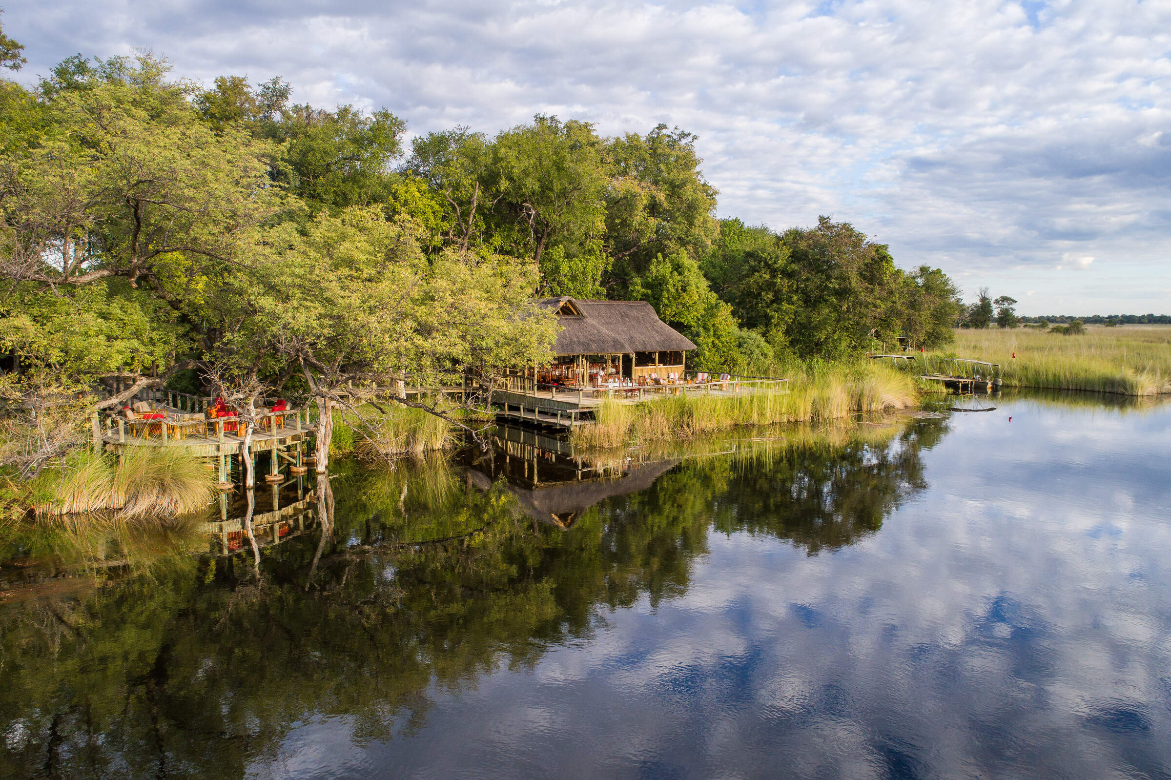
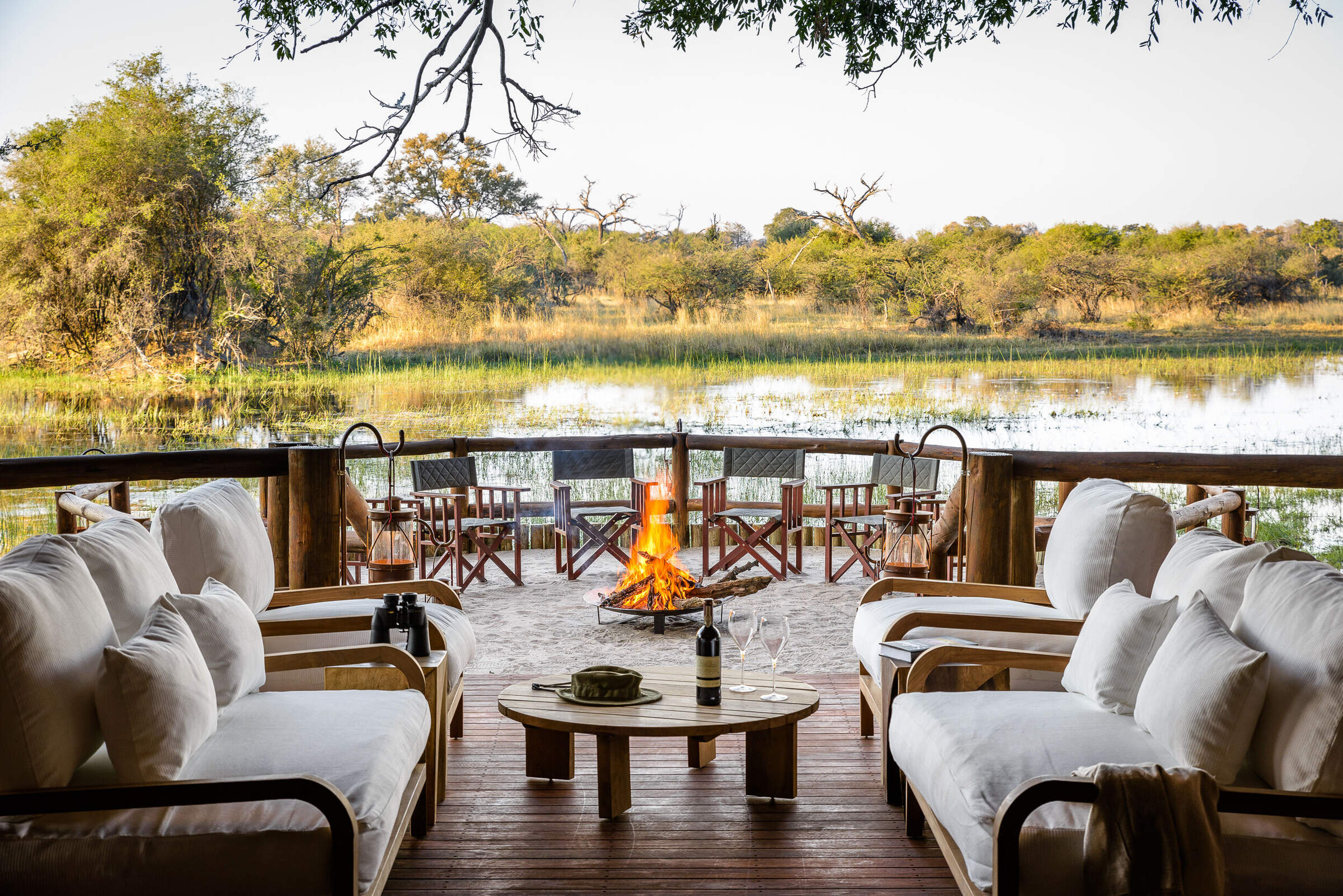
Xakanaxa
Camp Xakanaxa is a well-established traditional camp beside a huge lagoon within the Moremi Game Reserve, with access to some superb wildlife viewing.
Khwai Lediba
Khwai Lediba offers a traditional African safari experience, with very comfortable tented accommodation, in a fantastic game area north of the Moremi Game Reserve.
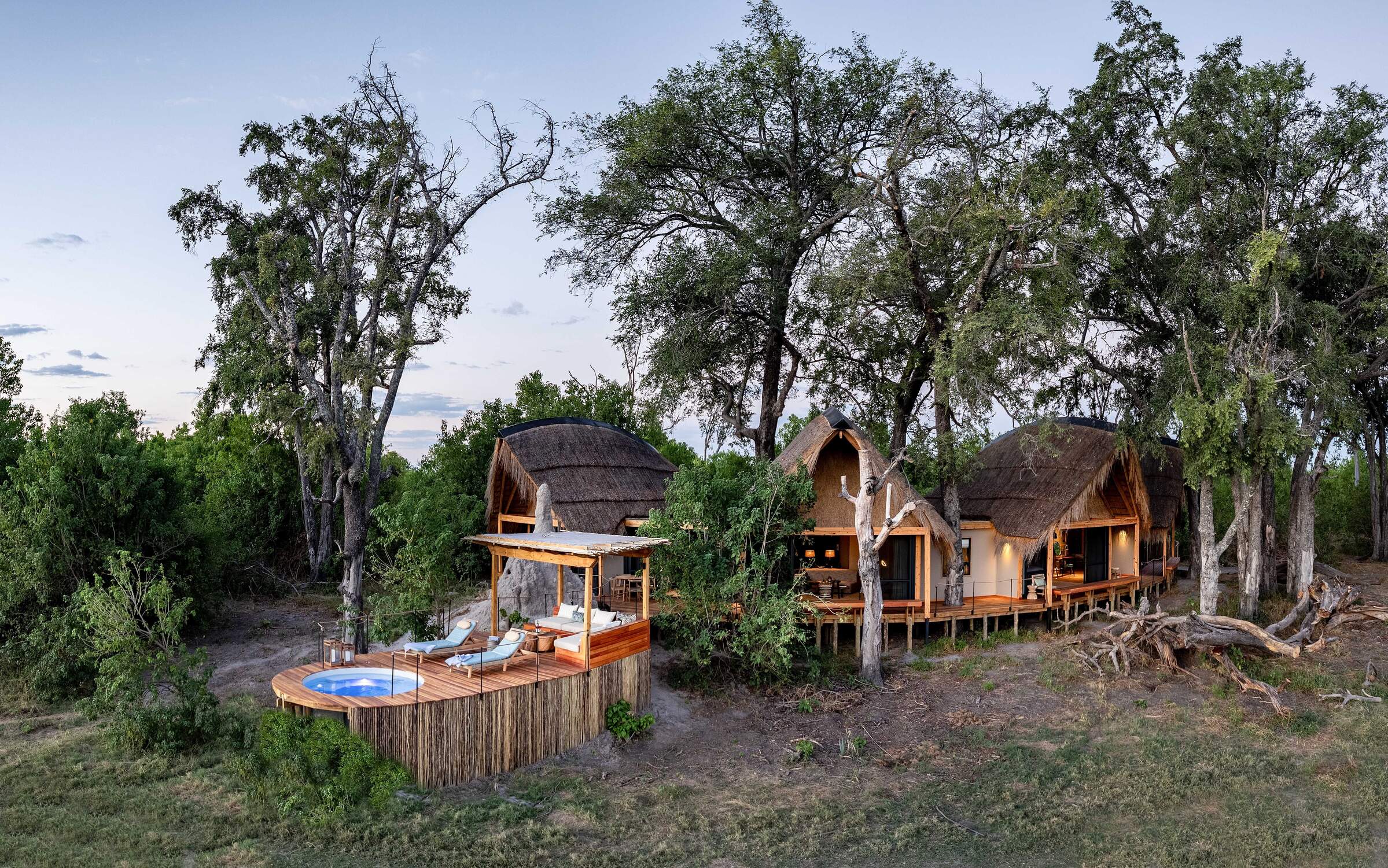
Sable Alley
Smart, independent and well-run, Sable Alley overlooks a beautiful, hippo-filled lagoon within the diverse Khwai Private Reserve.
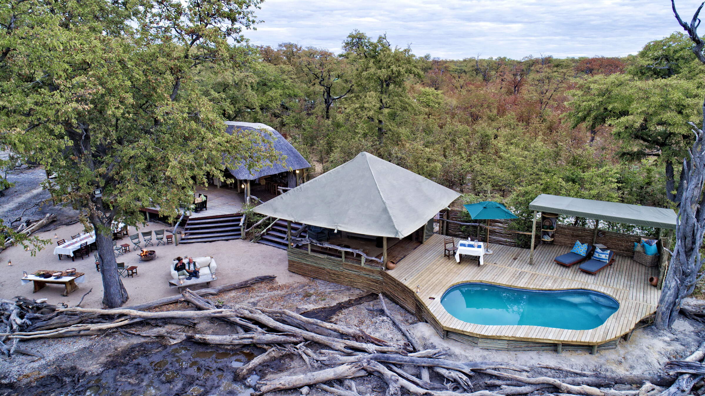
Okuti
With an innovative design and good service, Okuti Camp offers game drives and boat trips in a beautiful, game-rich part of Moremi Game Reserve.
Mombo Camp
Mombo is one of Botswana's most exclusive safari camps, set in a beautiful, remote location within the Moremi Game Reserve and with exceptional game densities.
Little Machaba
Overlooking the Khwai River and Moremi Game Reserve beyond, Little Machaba is a classically designed camp with very comfortable tents in a great game-viewing area.
Chief's Camp
Chief's Camp is situated on Chief's Island, within the Okavango Delta's Moremi Game Reserve. Experience one of Botswana's top game-viewing areas by 4WD and mokoro.
Elephant Pan
Fairly rustic, and relatively inexpensive, Elephant Pan overlooks a natural waterhole that attracts an almost constant parade of animals.
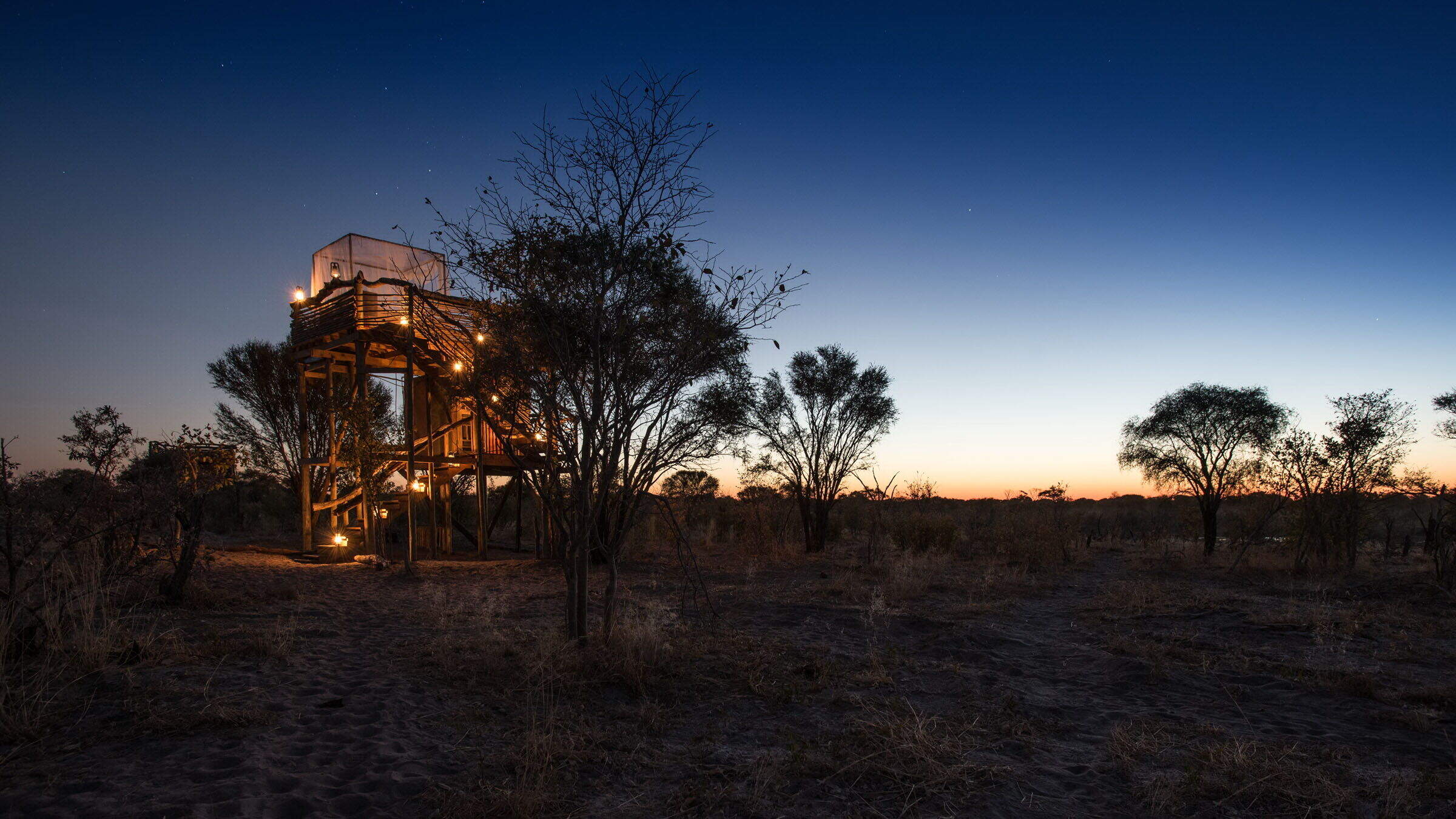
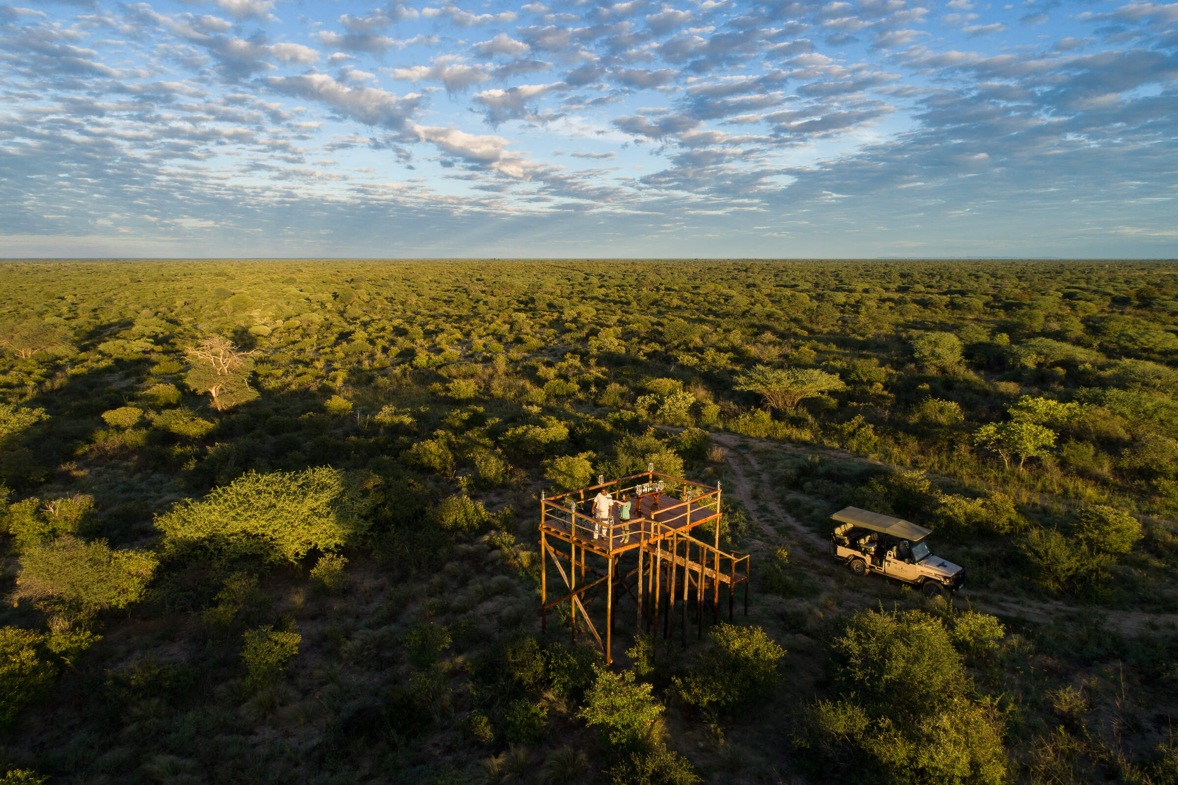
Skybeds
Situated in a private reserve close to Moremi Game Reserve, Skybeds offers a simple yet wonderful opportunity to sleep under the stars and watch wildlife from your bed.
Camp Moremi
In one of the best locations for game viewing in Botswana, Camp Moremi sits at the tip of the Mopane Tongue, overlooking Xakanaxa Lagoon.
Little Mombo
One of Botswana's top safari camps, Little Mombo stands on the north side of Chief's Island, in the heart of the Okavango Delta's Moremi Game Reserve.
Little Sable
Little Sable camp is located in the Khwai Private Reserve – which borders the Moremi Game Reserve and Chobe
Tuludi
Tuludi is a brand new luxury camp, within the Khwai Private Reserve, built on a site under giant leadwood trees and overlooking the Okavango Delta floodplains.
Mokete Camp
New for July 2023, Mokete has 9 luxurious tents, raised on platforms above the surrounding bush and offers an experience of the Kalahari Wilderness.
Sango Safari Camp
Sango offers comfortable tented accommodation, without some of the frills often found in Botswana's camps, with an area that's scenic and gets excellent, consistent game sightings.
Khwai Leadwood
Khwai Leadwood is a luxurious lodge located in the heart of the Khwai Community Concession, offering guests exceptional service, stunning scenery, and unforgettable wildlife experiences.
Monachira
Opened in May 2025, Monachira is a stylish lodge in the Okavango Delta with a focus on water-based activities.
Tawana
An exclusive new lodge on the banks of the Gomoti River, Tawana has just eight very spacious suites.
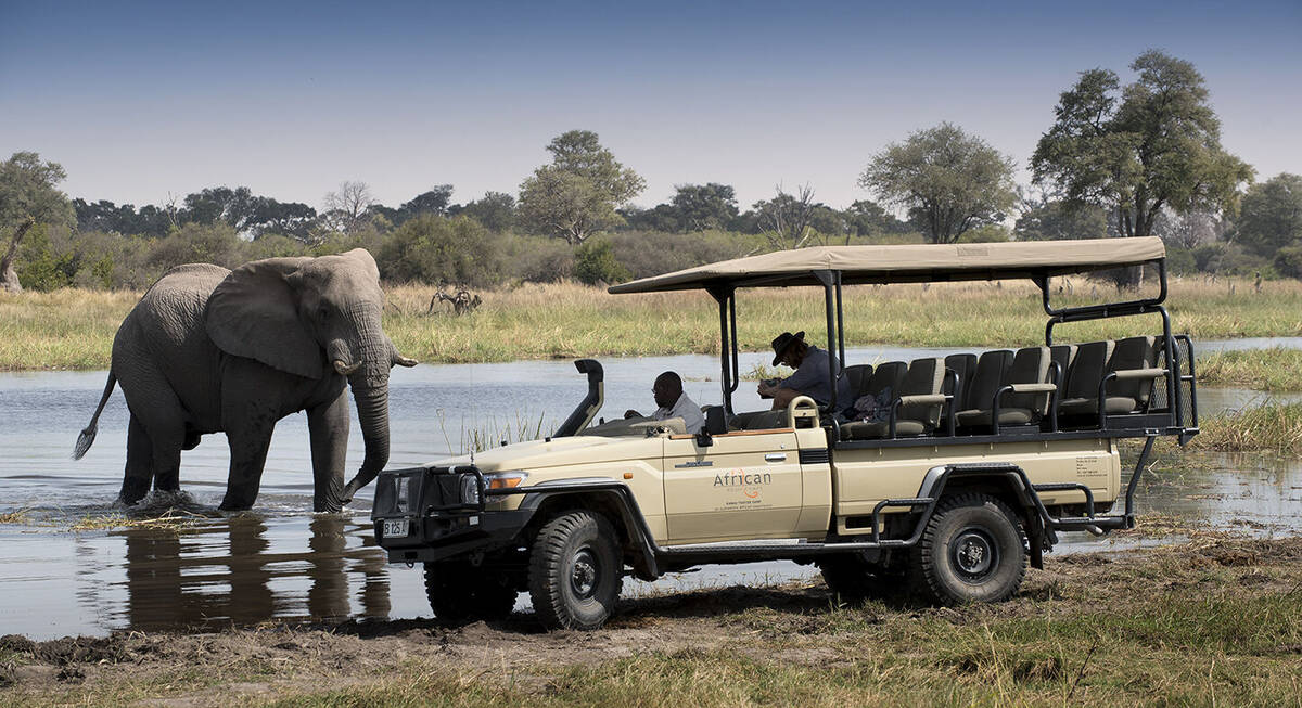
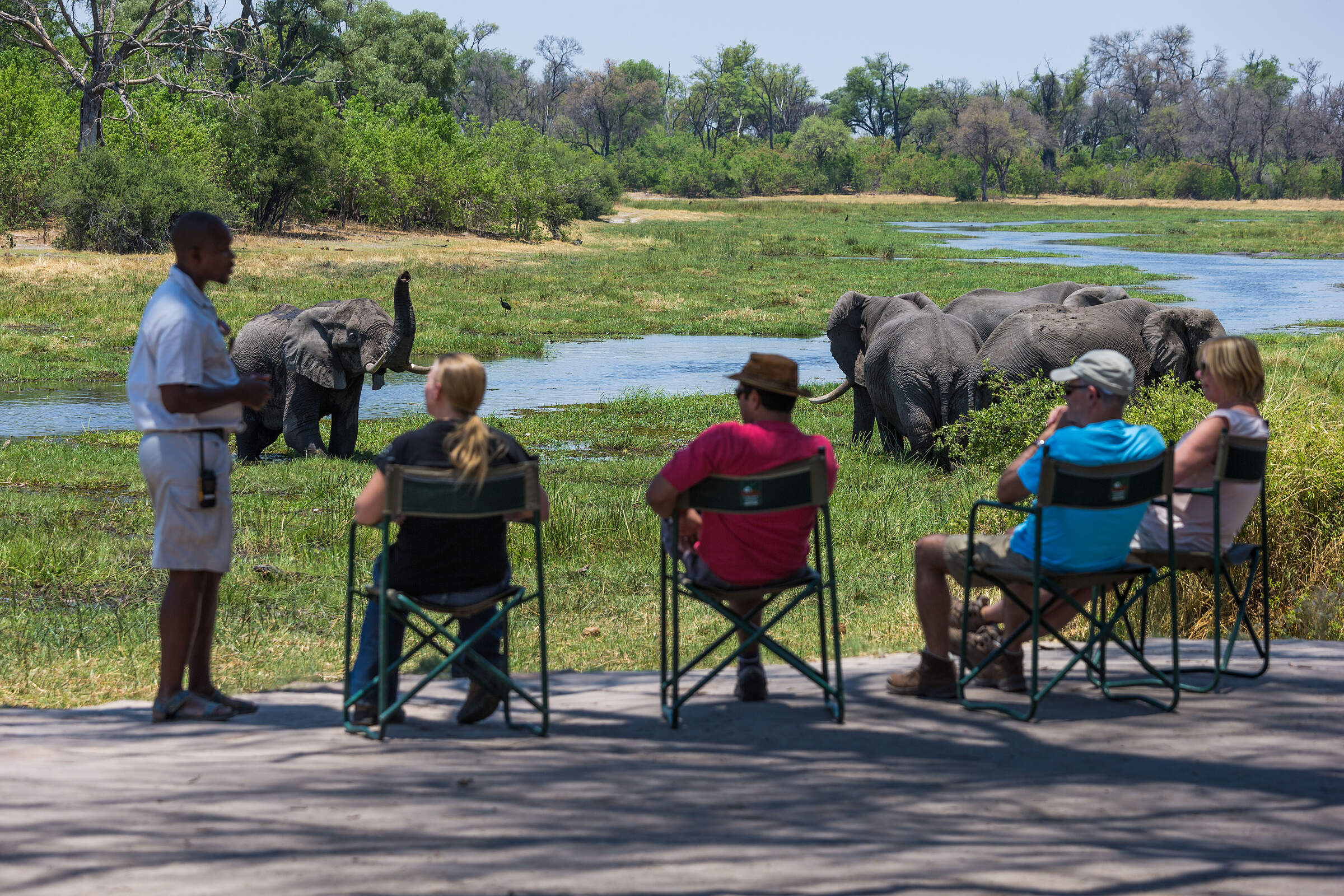
Our travellers’ wildlife sightings in Moremi & Surrounds
This is their success for sightings in Moremi Game Reserve. Click on a species for more detail. How we work this out.

98% success

95% success

95% success

94% success

92% success

84% success

78% success

77% success

76% success

62% success

33% success

31% success

29% success

18% success

12% success

11% success

4% success

3% success

2% success